.jpg)
Mill Creek
Wednesday, September 19, 2012
(with Re-visit in June of 2024)
My intention today was to paddle another section of the Ohio River, but Mill Creek changed all that. Like the Twelve Pole Creek down in Huntington, this stream went back so far that I didn’t have any time left to explore the Ohio today! Mill is a tributary of the Ohio River near mile 231.5 on the West Virginia side between Point Pleasant and Ravenswood. The ramp I used for access (called the "Mill Creek Public Access Site") is located in Millwood, West Virginia off Route 2 (full directions below).
When I first arrived, however, I was somewhat taken aback because as I looked at the narrow strip of water at the bottom of the ramp I began to wonder if I’d have to make a portage right after putting in! You see, this ramp lies on Lick Run, a tributary stream of the Mill Creek here, so the water can be a little shallow. Nevertheless, I actually started out by heading left (or upstream) on Lick Run to begin. I knew I wouldn't get too far but I wanted to see everything today. Sure enough, about 100 yards in I turned back when the algae began to get too thick. This was of the type of algae that I’d only begun to notice this summer. I'm referring to it as “Christmas Tree” algae. t made for some interesting pictures!
2024 note: I'm adding some more photos of Lick Run because it wasn't until this re-visit that I got a better idea of how scenic this little stream is if you can get back a little farther than I did in 2012. I found it to be incredible and I also encountered a turtle the size of an automobile tire! I wasn't willing to get close enough to take a good photo, however. Call me a pansy, but I wasn't taking any chances of getting bitten even if the turtles are usually shy!
.jpg)
.jpg)
.jpg)
Turning back,
I met up with the main channel of Mill Creek within about 400 yards. From
here it's about 2 miles to the Ohio River if you head to the right, but I'd find
that there's much more to explore if you head upstream and to the left.
The flat water in Mill Creek goes back 5 ½ from this point. There are thus
roughly 7 ½ miles of slack water to explore here.
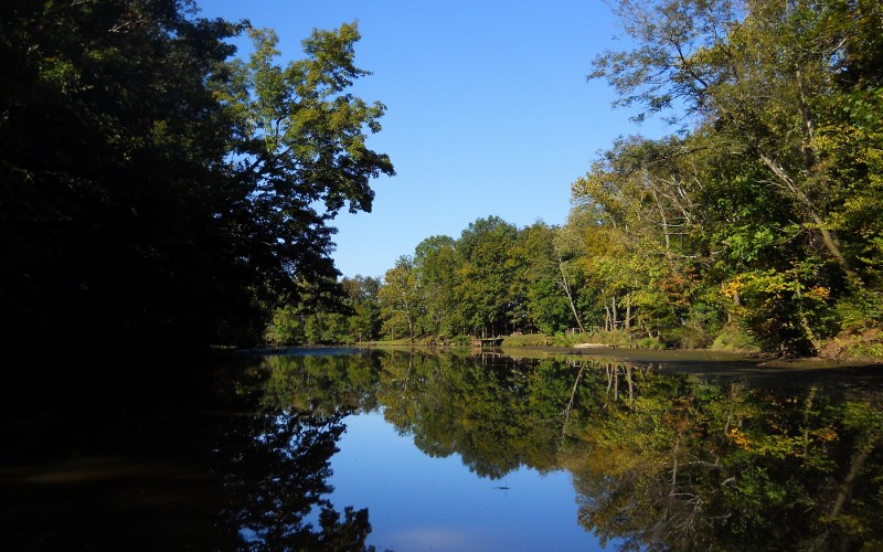
Anyway, if you
make the left turn upstream as I did you’ll first pass through a section of very
nice homes and at one point a little creek enters. I took the scene below here
after I was blocked by a downed tree…
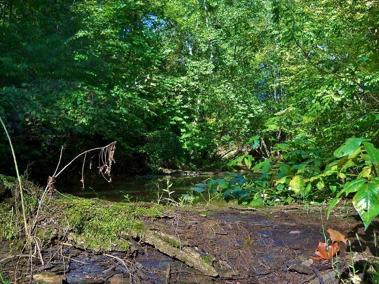
Back on the creek you’re about to encounter some fantastic farmland scenery after you make a sharp left curve. Most times on the water you’re so low in a kayak or canoe that you can’t fully see the views around you. Yet, here the shoreline is very low-lying. As a result, some of the best farmland scenes I have seen in my travels are just ahead after a sharp left bend in the creek. Hopefully the herd of cows I saw here will be visible if you ever come out this way too. Is this farmer ever blessed to be able to share this wonderful view of his land!
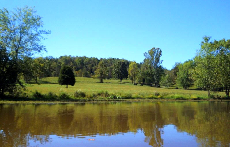
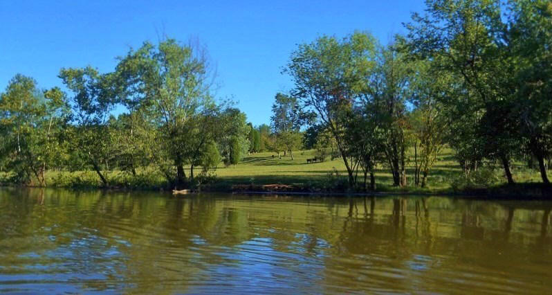
Next, and not
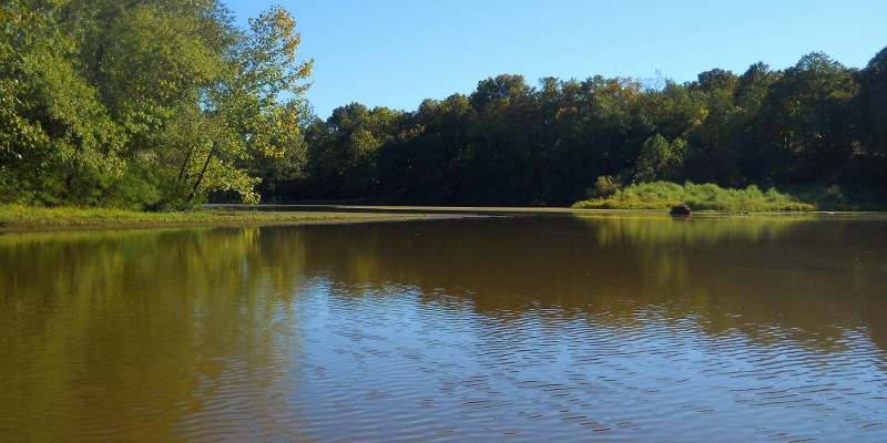
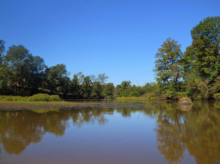
quite one mile after this, you’ll come to a split in the river. The first
two photos below show the spot, looking first upriver and then back down (I
thought both made for nice shots). Heading left will continue to lead you
upriver, but I highly recommend that you head to the right
here if you have the time. It will take you back about 300 yards and show
you what life is like in a
low-lying marshy area. I thought it was fantastic, and in 2024 I
encountered an osprey back here. The last photo shows the area.
.jpg)
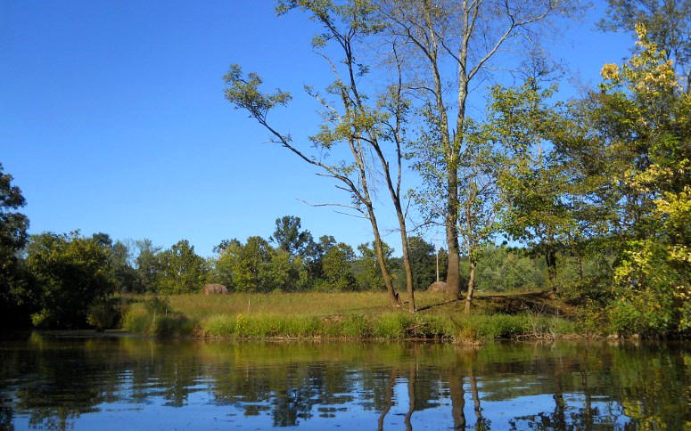
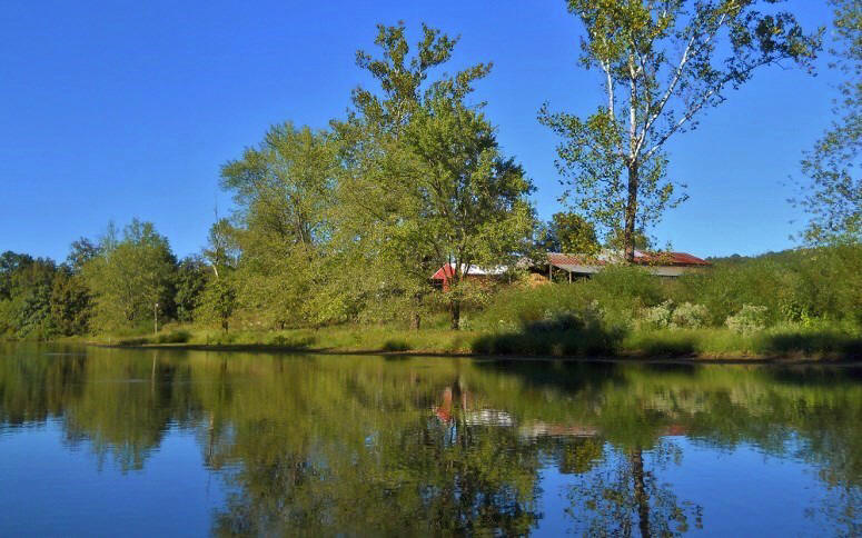
Then, back on the main stream, I made a left bend and then found myself on something of a straightaway. A couple little streams enter on the left here as does another one right at the end. One was paddle-able, but with residences being quite close to the creek I didn't chance it. It’s was beautiful in here too, though, with the rural scenes and the hills in the background! Below are some pictures of this area…
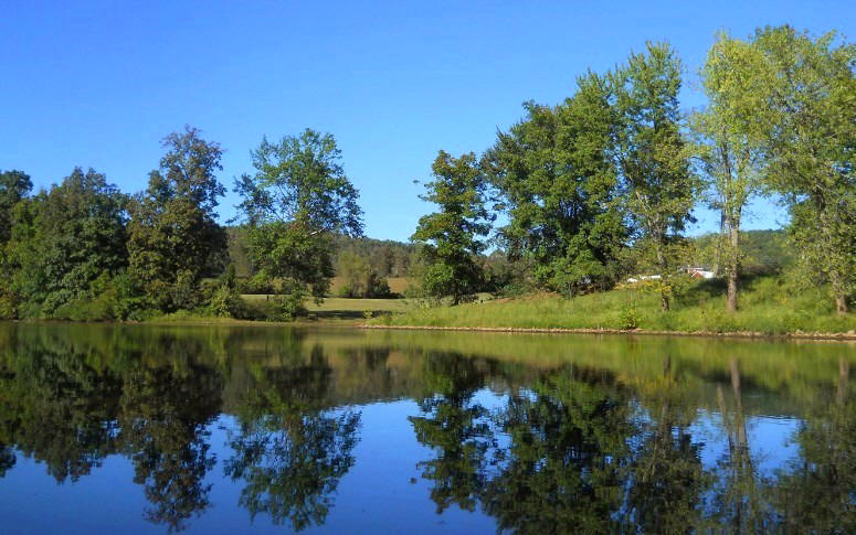
After you
cross under some power lines the next section will essentially be a “C” around
the community of Cottageville, West Virginia which will be on your left (what a
great name for a rural town!). You’ll pass under a bridge for Route 331 (which
looked badly in need of repair in 2024) at about the mid-point of the curve and the stream gets
considerably narrower. There are some older bridge spans down by the water at
this same spot, but what intrigued me most was the bridge below! I thought this was a great
countryside scene.
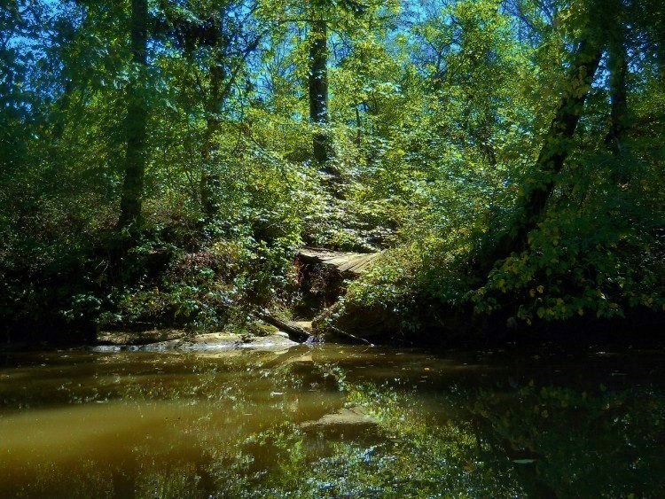
Shortly I saw some wooden bridges up on the right shoreline and I wondered what they were for… I guessed that they could be for a hiking trail or that there might even be a golf course up there. What was it? Turns out, it was the Jackson County Junior Fairgrounds! I can’t find out if the grounds are used for anything but the fair, but I do know that it took me a while to paddle the section of river they occupy. Meanwhile, there are some more amazing scenes in here that you can get partial glimpses of through the trees. There was also an accessible boat ramp here at one time. It's still visible, but the bottom has long ago been covered over with earth.
The end of
this fairground curve (a curve left) will practically have you hitting a wall as
you now make a sharp right curve to enter into another fairly straight stretch.
At this point it’ll be just you and the beautiful farmland! This is
an incredibly peaceful, serene area (despite the fact that you can occassionally
hear vehicles). It's so comfortable that you might just
fall asleep after all your paddling efforts! Just before you drift
off you’ll hit a sharp “S” curve.
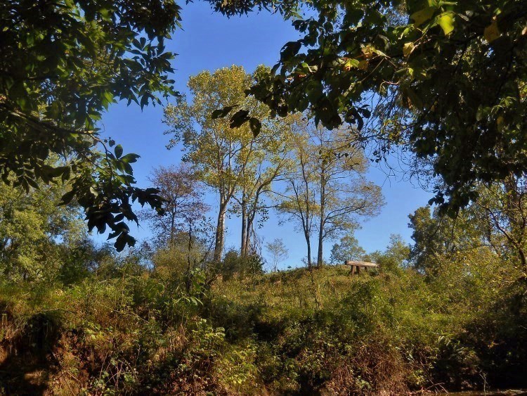
I found the tree below to be interesting here - an inspiring testament that life can still flourish in spite of adversity, provided that life is lived with fortitude.
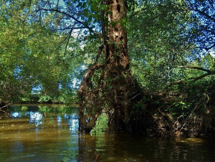
There are some little streams that come in before you reach a series of 3 riffled sections that stopped me today. The pictures below were taken around this beautiful area. 2024 note - it's possible to go back farther than this. In fact, I'll have to come back a third time to see just how much further...
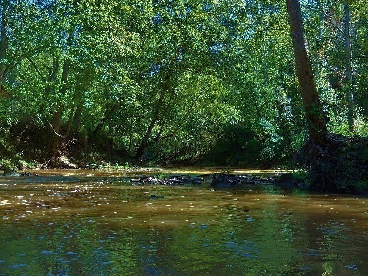
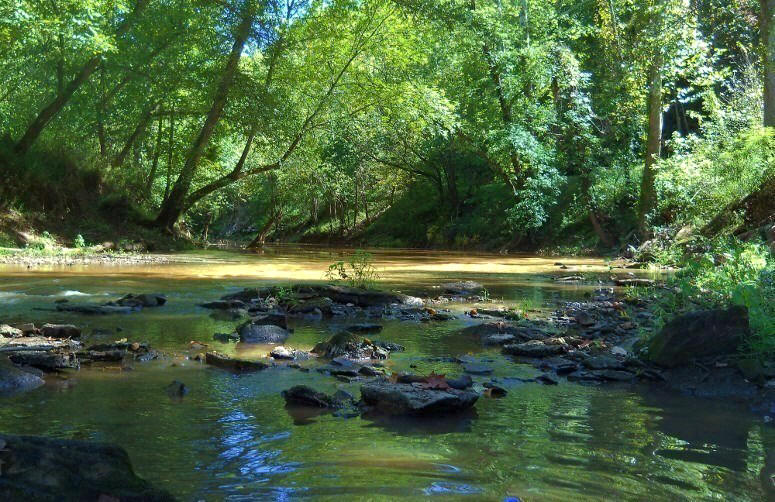
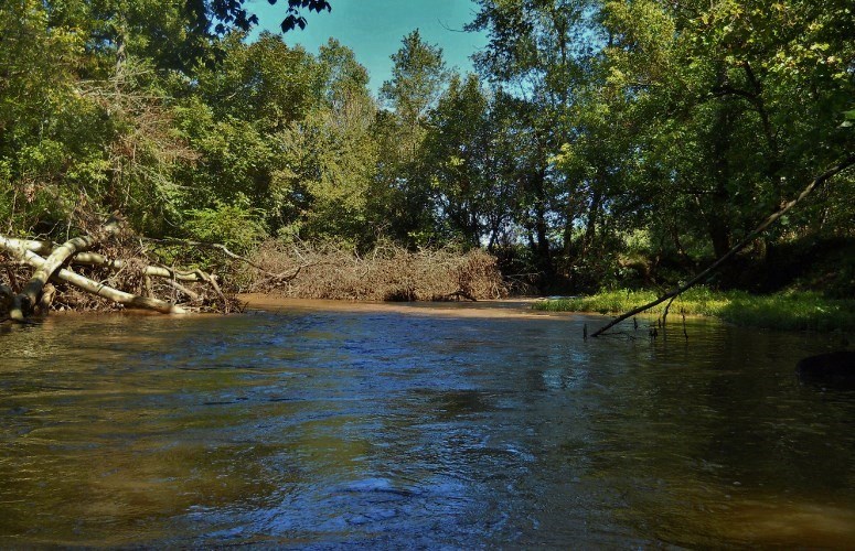
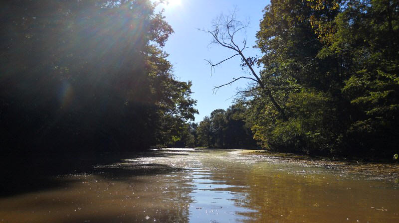
These last two shots were taken as I worked my way back to my car on Lick Run heading back to the ramp. The first is from 2012 with the second being from 2024 when I got back a little earlier in the day...
.jpg)
DIRECTIONS:
The easiest way is to type "Mill Creek Public Stream Access" into Google Maps and go from there, but if you'd rather...
From Ravenswood take Route 2 south out of town until you reach Route 62 which intersects from your left (it's right after a Dollar General). Take a left on Route 62 and then immediately turn off down the ramp.
From the McDonalds in downtown Point Pleasant, West Virginia head out of town on State Route 2 (toward Ravenswood) and go 20 miles. Then keep your eyes peeled for the State Route 62 intersection. (You’ll note that 62 will have veered off to your right earlier in this stretch – it rejoins Route 2 here). You’ll make a right and then another immediate right into the ramp parking lot. You can’t really miss it – it’s right there. I also saw a couple farm produce vendors across from this point. They may be here when you come. This ramp has a good but not incredible amount of parking. There are no facilities.