Kanawa
River
Mouth at Ohio River (Mile 1) to Nine Mile Creek (Mile 9)
Thursday, August 16, 2012
(Navigation Charts 1 - 4)
Although the Kanawha does enter the Ohio at a really attractive spot adjacent to downtown Point Pleasant, West Virginia I'd say that the first 3 miles are not the best for the paddler because of the sheer amount of activity on the water. There are barges lined up all along either side and the towboats are constantly moving them in, out and all around. In fact, Amherst Madison and AEP both have fleet headquarters here with the former having nearly a dozen towboats docked this day. Add to that all the recreational boaters and it’s really confusing if not downright dangerous. I was OK heading upriver but upon my return – even after 5pm – it was still busy.
I started out today from the Point Pleasant Boat Ramp which lies just inside Crooked Creek. From here I headed downstream to the Kanawha and then on down to the Ohio River. Following that, I proceed upriver on the Kanawha to Nine Mile Creek and then came back. This was my first trip on the Kanawha, however, so I had to decide how I wanted to narrate it and in which direction - upriver or down? Since it’s safer to paddle upriver I‘ve decided to do it that way.
Anyway, as I put in on the creek and I found pleasant scenes immediately. You might think you’re in the middle of the wilderness…
But once on the Kanawha you’ll be in the thick of the river commerce!
The
Ohio lies just ahead if you go downriver less than 1/2 mile, and as
you’d expect the views at the Kanawha/Ohio convergence are
quite far-reaching. Tu-Endie-Wei
State Park directly on the point is quite enchanting as well as you can almost
imagine yourself back in time 150 years. The park also has a monument (the
obelisk you see in the pictures) to a French/Indian War battle which was held on
this site. There's a mural drawn on the break wall here that is beyond
belief!
Point
Pleasant is a great little town with a lot of history and a
river museum where,
among many other things, you can simulate being a boat captain! The Mason
County website here
also has a lot of good information. And, if you’re a bit worn out after a
long boat trip you can also check into the historic
Lowe Hotel.
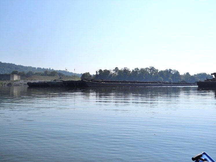
Back to the Kanawha… As I began to paddle around one of the docked barges to
head back up the Kanawha my eyes met with the scene below through the sunny
haze! You’ve got to be very careful out here as a
paddler! In a situation like this you’re so low on the water (as
well as behind a barge) that there’s no way
for the boat captain to see you, much less
avoid you. I can only image how the captain of
this boat would have felt if he’d run
over a kayaker without having been able to do anything about it!
The
first bridge you’ll see over the Kanawha is the one that spans
from the smaller town of Henderson, West Virginia to Point Pleasant
on West Virginia Route 2. The name of the bridge is just that –
The Point Pleasant-Henderson Bridge!
Then,
after a second railroad bridge, you’ll find the aforementioned
Amherst-Madison hub. This company apparently has its main headquarters up
in Charleston (WV) and according to their website they’re a family run company
that’s been around since 1893! They offer marine towing, construction and repair
services to go with a rental operation. You'll see their boats all over
the Ohio River.
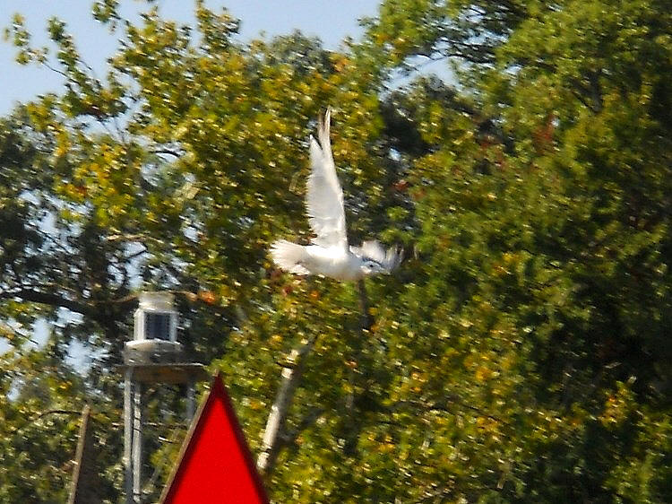
The
buoy that marks mile 1.2 comes up directly after this. Note the bird
perched at the top and the fluster of feathers as it took off (in the second
photo). I was
amazed to see such an array of feathers from a bird that at first
looked to me like a common seagull. I wish I could have gotten a clearer
shot. If anyone can tell me what kind of bird this is I'd be grateful.
Anyway,
after
another towboat passed I was to have a break in the action – at least on
the side southern side of the water. The barges had switched sides!
Meanwhile, I found the
scene below to be interesting. What was this? A
former business? An old river camp? I'd later find out that it was
part of an old marina, but what intrigued me most is that there used to be a lock
and dam right around this point (Old Number 11) yet I saw no trace of it. The second photo below is a final look back at the Ohio
where you can clearly see just how "clogged" with traffic a river can get.
At
this point I noticed that a towboat was following me upstream - the "Dell Butcher" of
Inland Marine.
Also in view was the "Alabama" of Amherst Madison on my left. As it turned
out, the first looked to be going to the assistance of the second right near the
mouth of the Three Mile Creek. What’s interesting about Three Mile is that
it apparently has mouths on both sides! If you look at a map you’ll see
this. It enters the Kanawha both here and a little further up as well.
I wasn’t able to get back very far on this southern end due to deadfall debris
and I'd later find the northern end to be completely
blocked off.
Continuing
up the river you’ll have a little more tranquility after you
pass the last of the barges. The Jim Hooff Light and Day Marker will
come up at mile 4.2 and large swaths
of farmland will come into view on your right along with forested, intermittently hilly
areas on your left. It was in here that I began noticing a ton of
mayflies in the shoreline trees and when I came upon the Five Mile
Creek (at mile 4.5!) I found that I wasn’t able to get
back very far into this one either due to deadfall debris. The photo below was taken
looking downriver from the spot.
A
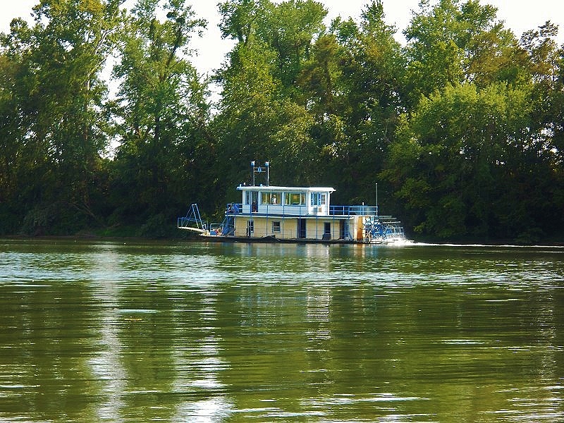
little further up and back on the left side I spotted a little sternwheeler boat docked
along the shoreline. What a great
sight it was amid the rural landscape! Later I'd see another of
these fine craft out on the water (below). In fact, Point Pleasant used to
host a stern wheel festival every summer.
Another interesting thing near this location is an old business that the charts
have as the Ambrosia Machine Dock. I’m not sure if the
place still in operation but you can see a crane here along with
remnants of what look like some old docking operations.
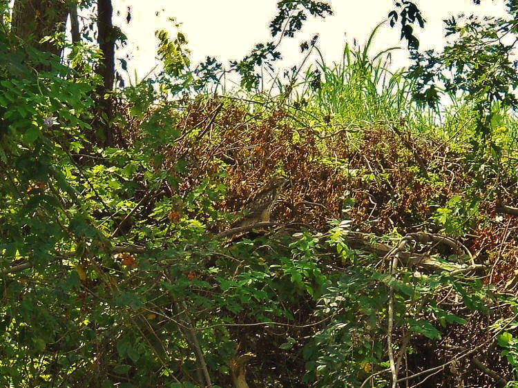
Next came an
osprey or hawk (I think)! Can you spot it in the middle of the photo? The bird picked a great
spot to camouflage itself!
There was also a little ecosystem near this point supported by a fallen tree…
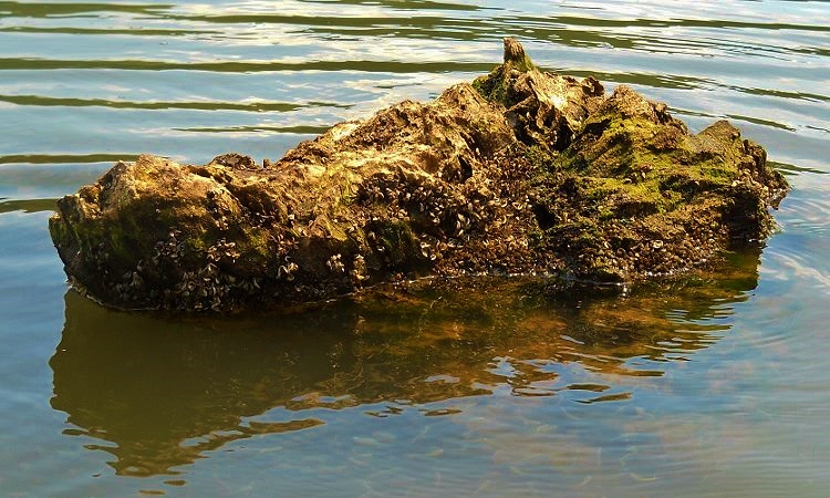
Below
is the scene as you near the Brighton Light and Day Marker around
mile 6 and, coming up on your left, is a campground just past mile 7. Eight Mile Creek comes up next – again
not navigable. "Was I going to get a side stream to
paddle today?" I wondered.
Well… Just past mile 8 you’ll have the Nine Mile Creek Light and Day
Marker and the namesake of this marker was navigable! In fact, I thought Nine Mile Creek
was pretty amazing and the stream went back about a mile, providing some great
scenes!
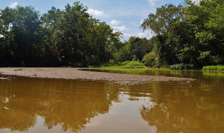
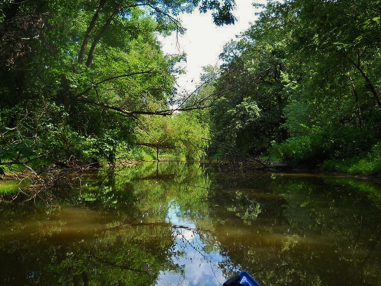
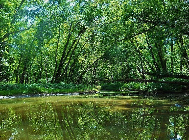
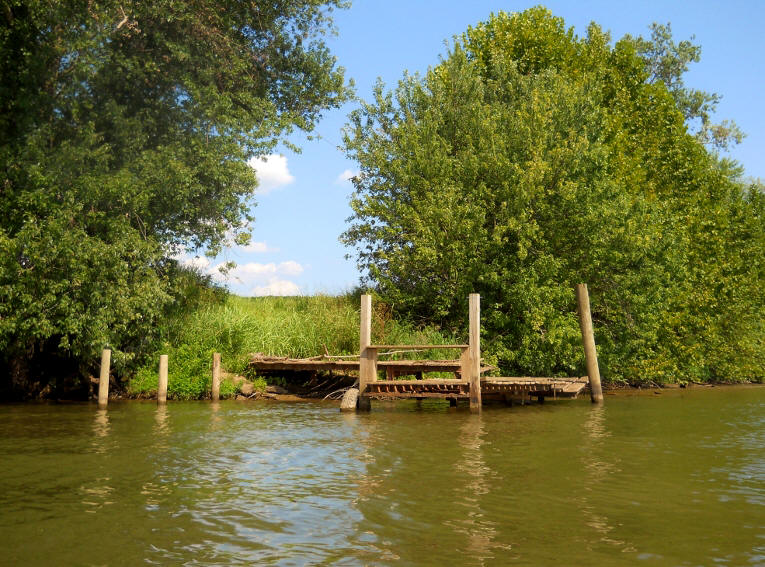
Once back on the Kanwha I paddled over to the other side where I encountered
a pleasant little fishing spot…
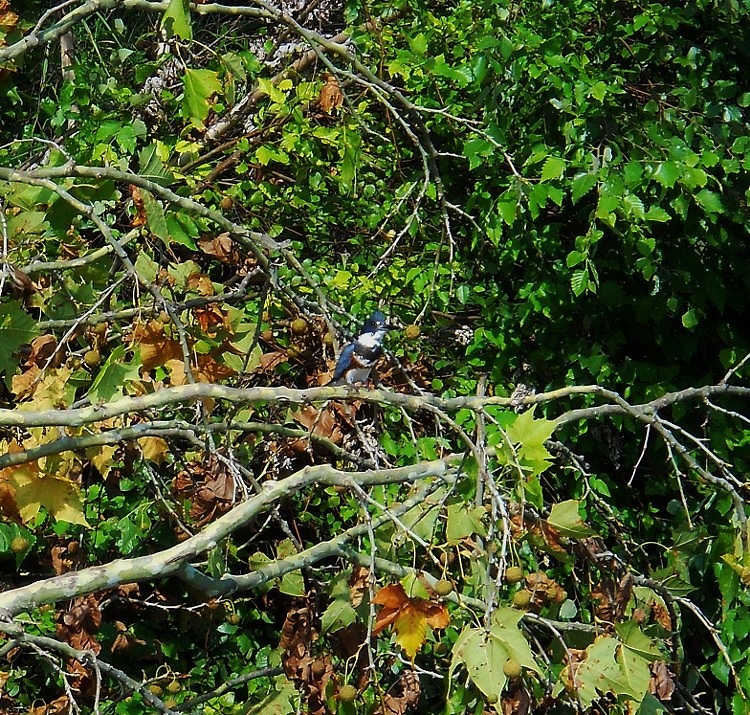
Along with a kingfisher… These birds had proven in the past to be very elusive
as far as pictures (at least for my budget camera).
I
had a lot of other company as well. The towboat Escatawpa passed me
heading upriver. He’d passed me before in the other direction - must
have picked something up. Then Sarah Ingram of Ingram Barge passed and, once
back at all the barges near mile 3, I encountered a third towboat. At
first it appeared to be stationary, but when I got up there
the vessel began to bring one of the barges out into the Kanawha. Needless to say, I got out
of the way!
The
most awkward situation I’ve ever had on the water, however,
occurred here as well. I was on the southern side trying to get some better
pictures of the craft at Amherst Madison and I’d just
finished when I spotted another towboat coming upriver toward me. I wasn’t
sure where he was going so I decided to stop, wait and see…
Then he stopped…
Uh…
Right! He wanted to go EXACTLY where I was! Mortified, I paddled
as quickly as I could to be out his way! I didn’t even chance taking the
time to get a photo so I don’t know the name of the vessel to thank the fine captain who put up with me.
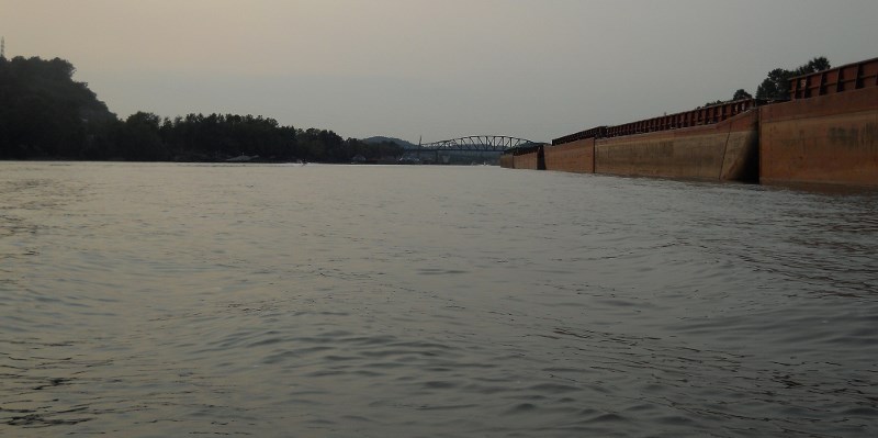
In
closing, I’ll leave you with some pictures of what this congested
area can be like – near nightfall. Note in the photo’s
below that waverunners can add an extra element of navigation complication as they race up and
down the water. Before you paddle anywhere near the mouth of the Kanawha
I’d bring an extra dose of caution! In fact, as I stated earlier I can’t
recommend this section. There is a ramp further upstream in the
community of Leon at mile 10. It’s just past the post office
there. I hope to describe that section soon.
DIRECTIONS:
From the McDonalds at the intersection of West Virginia Route 2 and 6th Street in downtown Point Pleasant, West Virginia, follow West Virginia Route 62 East away from town. You’ll go just over 3 miles and then 62 will split to your right. Keep on it and once you’ve gone 10 miles start keeping a very sharp eye out for the turnoff to the ramp. You’ll first notice that you’re driving along a sheer rock wall on your left, then you’ll pass Leon Baden Road, then another road and then a bridge over Twelve Mile Creek. The turnoff will be almost immediately after this bridge – and across from the post office. Turn right and follow the lane a short distance to the river. You’ll go under a railroad bridge but be careful – it’s one-lane going under this bridge at a sharp curve. Please go very slowly and gingerly.