Ohio River
Sandy Creek (Mile 220.5) to Gunners Run (Mile
215)
Tuesday, October 9, 2012
(Navigation Charts 163 and 164)
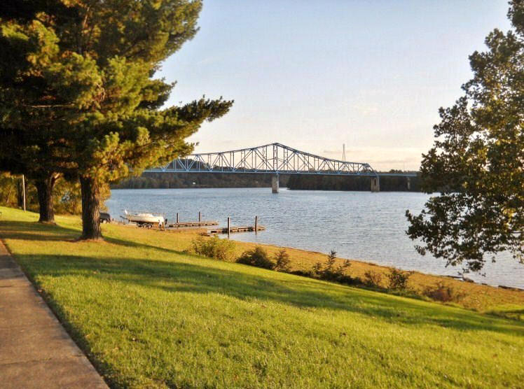
Today I put in for a second
straight time at the ramp that’s located on the grounds of the
Washington Western Lands Park and
Museum in Ravenswood, West Virginia.
This is also the site of old lock and dam #22. They’ve preserved
the lock houses really well and the park really provides a great recreational opportunity for
the community that I see that they take full advantage of.
A sign posted here announced the coming of an Oktoberfest celebration!
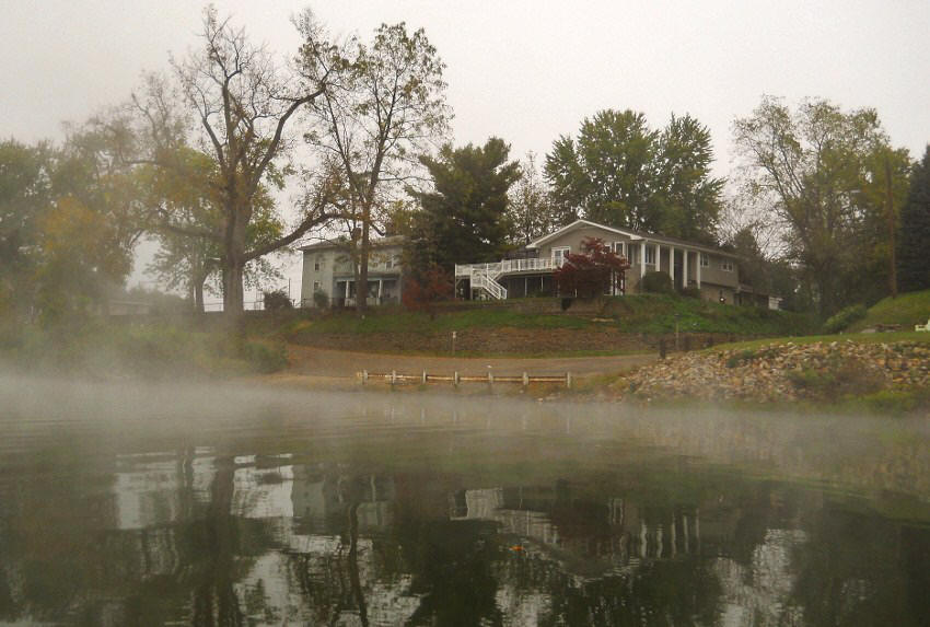
As for me,
I got on the water pretty early and was greeted with a thick fog that will be evident in some of the pictures.
Yet, in
the interest of clarity most of my photos were taken on the return trip later in
the day in order
to portray the scenes out here in the best possible light (figuratively and
literally!).

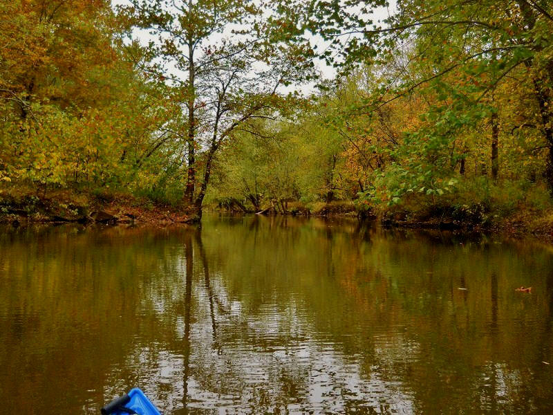
Sandy Creek, the point from which I’ll begin my
narration this time, is a stream that I explored more fully in the last section.
You’ve got to check this one out if you can! It goes
back a good 3 ½ miles with the slack water ending at an incredibly picturesque
old lock and dam. Photos of this scene, along with others of
the Sandy Creek, can be found in my last journal
here.
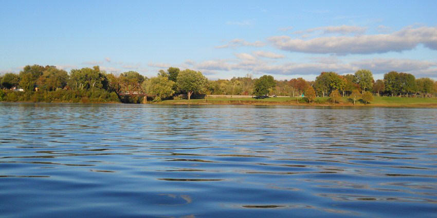
Paddling past the mouth of
the Sandy, you’ll note a second Ravenswood ramp located just upriver from it. This
one is much smaller than the one back at the park with limited parking.
It lies in the midst of a little neighborhood located off Water Street on
the southern side of town. Interesting here is that two
parallel streets in Ravenswood - Mulberry and Walnut Streets - eventually
converge to form a “U” at the water. Water Street comprises
the curve in the “U”.

Beyond this point and on the
same West Virginia side I noted an
old discarded barge along with some steps which had been
carved into a steep, muddy portion of the bank. These provided easier access to a nice looking rope swing setup!

I also have to put up the
picture below. It was taken near this point as I looked back
toward Ravenswood…

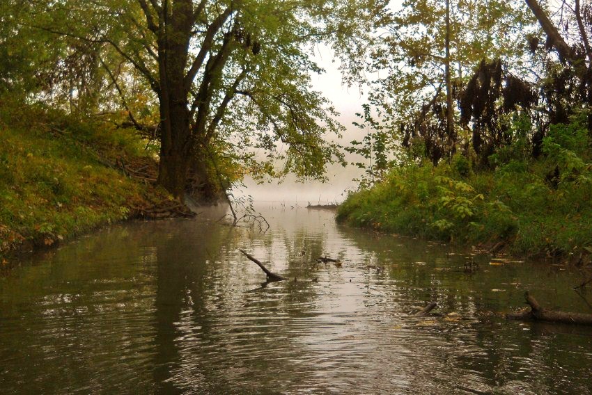
At mile 219.5 you’ll find the
mouth of the Turkey Run in West Virginia. I only got back
into this one about 50 yards or so, but I was intrigued by the scene that caught
my eye when I looked back toward the Ohio. Smoke on
the water! Every time I see this I get the Blue Oyster Cult song
in my head and I can’t get it out. :) Not that that’s such a bad
thing! Dick Dale, the surf guitar master, does an amazing
rendition of this tune by the way! I’ve seen him do it live
and there are some videos you can catch on Youtube of it.
Meanwhile, just across the
river from Turkey Run in Ohio, you’ll find a couple light and day markers.
One comes at mile 219.5 (it’s named after Ravenswood Bend) and one lies
just up ahead of it at mile 218.5 (named for Buffington Island).
Sandwiched between these is Groundhog Creek. Today I
got in about 300 yards, but also notable here is how far the farmland stretches
back into the distance.
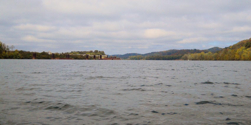
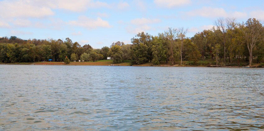
Next up – Buffington Island! By my estimation it's about 2 ½ miles in circumference, and it was apparently once the site of a Civil War battle. Luckily it's a lot more peaceful today, comprising a portion of the Ohio River Islands National Wildlife Refuge. This conservancy owns 22 such islands on this upper section of the Ohio River in addition to having some more tracts of land onshore.

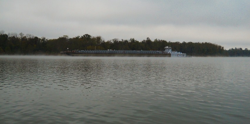
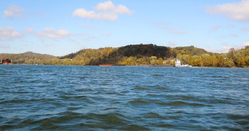
Today I paddled around the right side in the morning, at which
time I encountered
Kirby
Inland Marine's
City of Natchez push boat.
This had been the third trip in a row that I’d seen a Kirby’s
vessel.
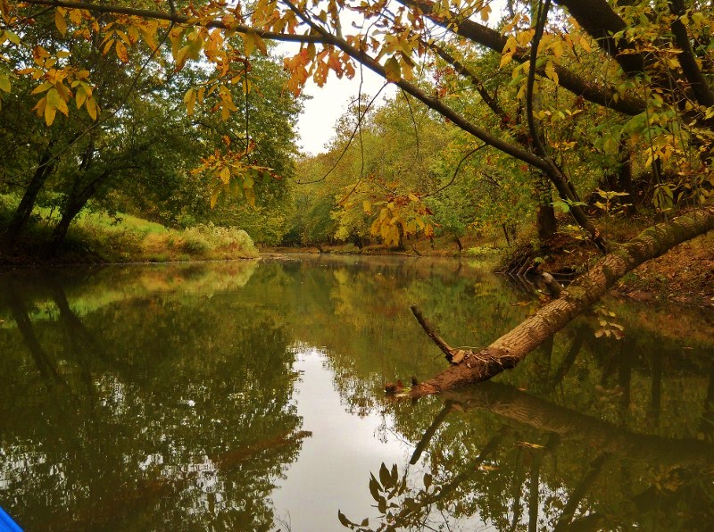
Also - and something that you
might miss if you paddle on the Ohio side of the island - is the Little Sandy
Creek. It enters the Ohio at mile 217 from the West Virginia side at about
the midway point of the island. Today I was able to
get in about ½ mile, in the process finding an interesting spot where there’s an
old brick structure back on the left side. There might have
been a bridge here at one point, or possibly an old grist mill.
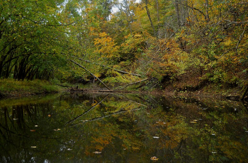
Getting back to the island, I later paddled around the left (Ohio)
side of it too in order that I could see it from that perspective. This is the
narrower of the two channels, but perhaps the
more scenic…

At any rate, after you pass the island you’ll note that perhaps the most striking feature is the mountainside in West Virginia amid the community of Portland Station. It’s been carved out to make room for some railroad tracks, and the striations in the rock make for some interesting scenes. This is at mile 216 where Skull Run enters the river un-navigable under a small culvert. By the way, the photos below look different because they were taken at different times of day, yet they're both of this same area.
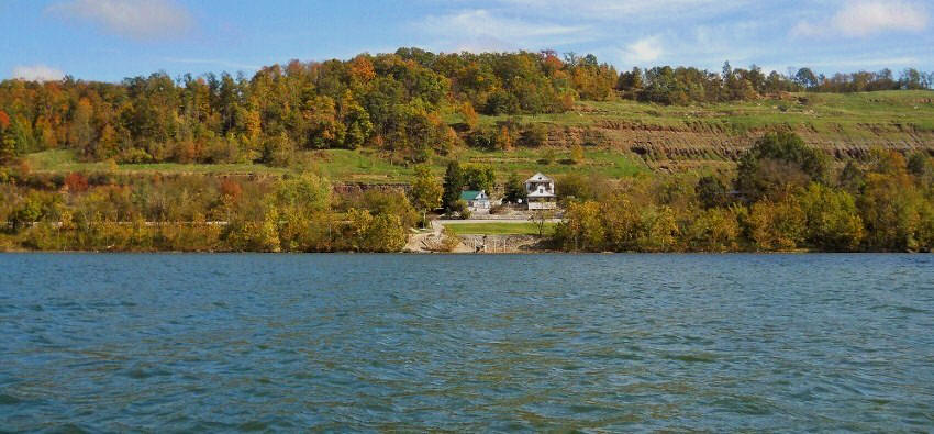
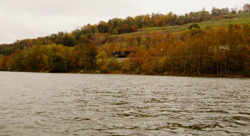
Meanwhile, directly across the river from here you'll have another community named Portland. This is Portland, Ohio where you find a Shelley Materials location at mile 216.5. “From Rock to Roads” looks to be Shelley's motto and you’ll encounter their mining operations all over the river. They provide the materials, such as asphalt, that are used in road construction. Below are some photos taken around this point.

Next up comes Gunners Run (a.k.a. Wheaton Run), but it's a stream that you’ll unlikely be able to get into very far but it marks the location of another light and day marker of the same name. A house and what looks like a primitive campground are also here. Note the grass as well. It looks red, doesn’t it? Perhaps this is due to some form of moss?
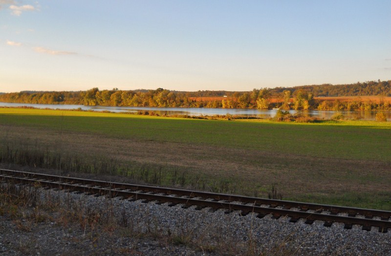
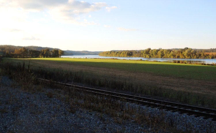
At this point I headed back, but as a final note I can't resist putting up some scenes that I encountered on my drive back home on West Virginia Route 2...
DIRECTIONS:
The put-in I used today is right in the midst of the community of Ravenswood, West Virginia. The easiest way to get here is to type: "Washington's Riverfront Park" into Google Maps. Ravenswood is about half way between Charleston and Parkersburg on Interstate 77.