PLACES TO GO ON LAND HOME PLACES TO GO ON WATER
Ohio River
Gunners Run (Mile
215) to Ohio DNR Forked Run Launching Ramp (Mile 208)
October 11th
2012
(Navigation Charts 164 and 165)
I was originally going to
paddle the entire section from Gunners Run to the Belleville Lock and Dam today,
but that plan changed. I think I’ll make my mantra “The Plan
Changeth”! Not only was the section 11 miles long, but I also
found that the Shade Run extended much further back than most of what the charts
call “runs” on the river. It thus took me a couple days to
paddle this section and I’ve broken it up into two journals – this one, from
Gunners Run upstream to the Forked Run Ramp, and then another from the ramp up
to the Belleville Lock and Dam.
I did begin to wonder exactly
what the difference was between a run and a creek though… I
mean, was one of them consistently larger or lengthier than the other?
Curious, I began researching the matter and found that the subject is
open to some debate. In fact, the terms appear to be interchanged
even on the charts at times. Perhaps someone could set me
straight on this...
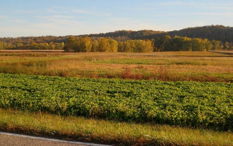
At any rate, the drive out to this put in is a
fantastic roll through rural Ohio in the fall. There are many
impressive farms with scenic views and I even saw a turkey directly
beside the road as I was driving in! Not only that, but the
ramp itself is actually an offshoot of the Forked Run State Park (http://www.dnr.state.oh.us/forkedrn/tabid/735/Default.aspx)
with the Shade River State Forest (http://ohiodnr.com/forests/shaderiver/tabid/5165/Default.aspx)
lying directly to the North of it. It’s beautiful out here!
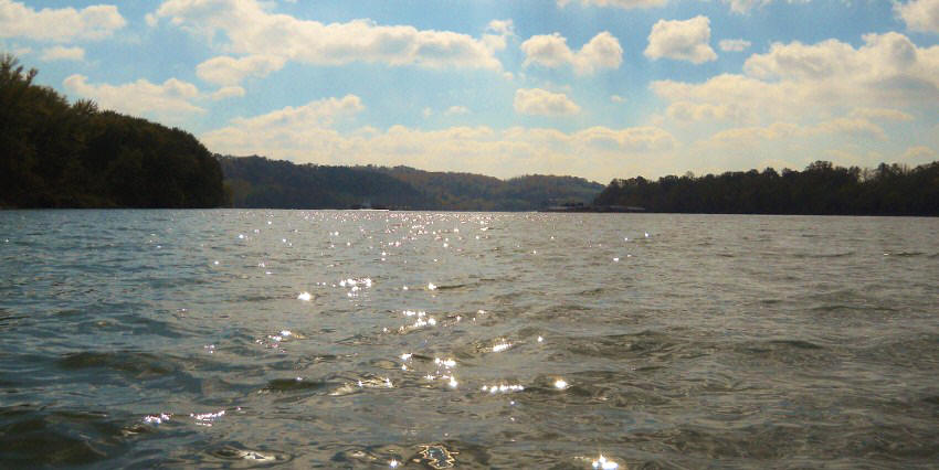
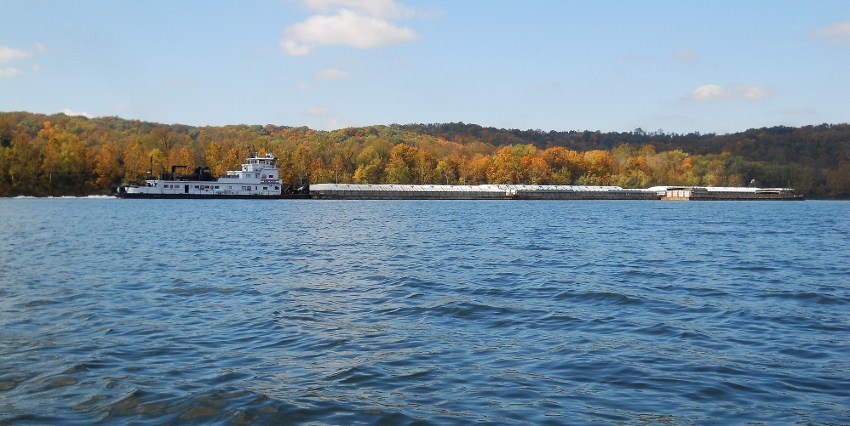
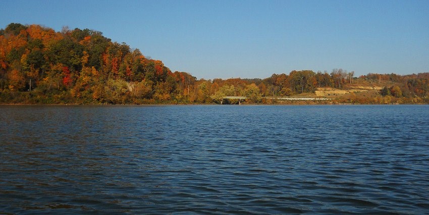
Gunners Run enters the Ohio at mile 215 and when I reached this point I noted a couple towboats passing each other just ahead of me. The Darrel L. of Campbell Transportation (http://www.barges.us/ was heading downriver and the Bob Koch of American Commercial Lines, or ACL (http://www.aclines.com/) was heading up. As you’ll see, these boats can be really tough to spot at times given the lighting conditions (or lack thereof).
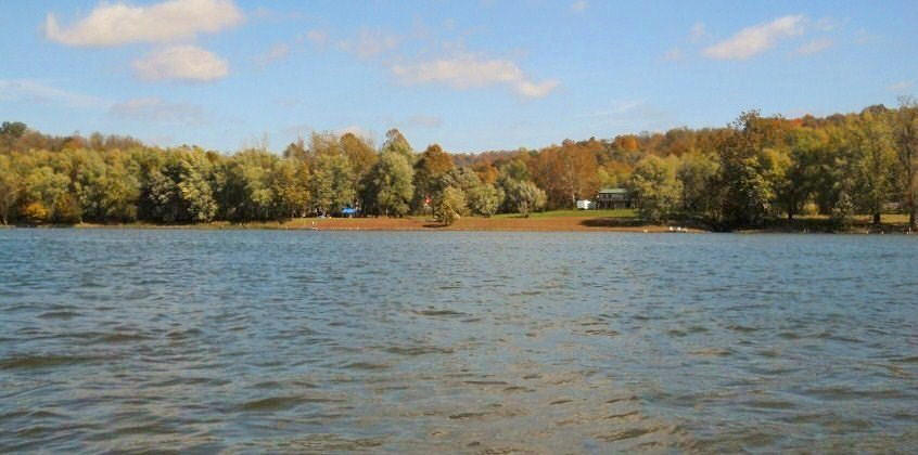
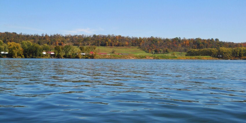
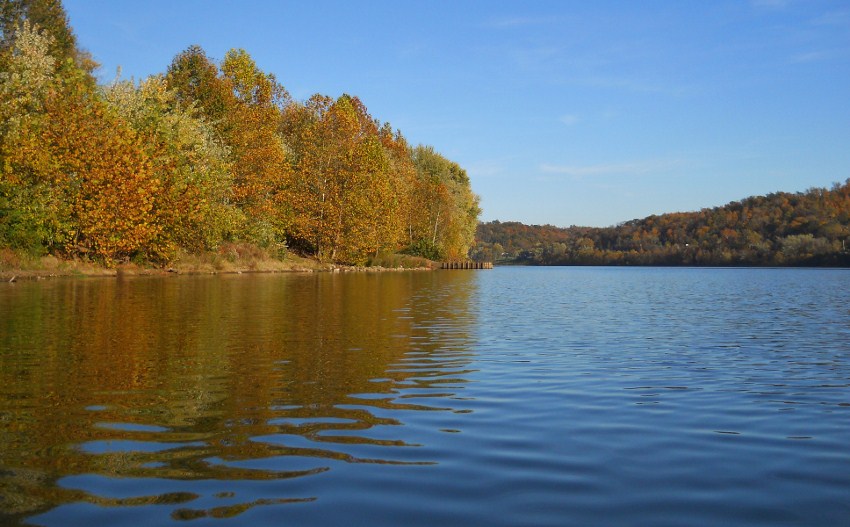
Below is a picture of the
area around Gunners Run. Note here what appears to be an
interesting species of moss which gives the grass a red hue.
I crossed the river at this point and then began heading back upriver to
“start”.
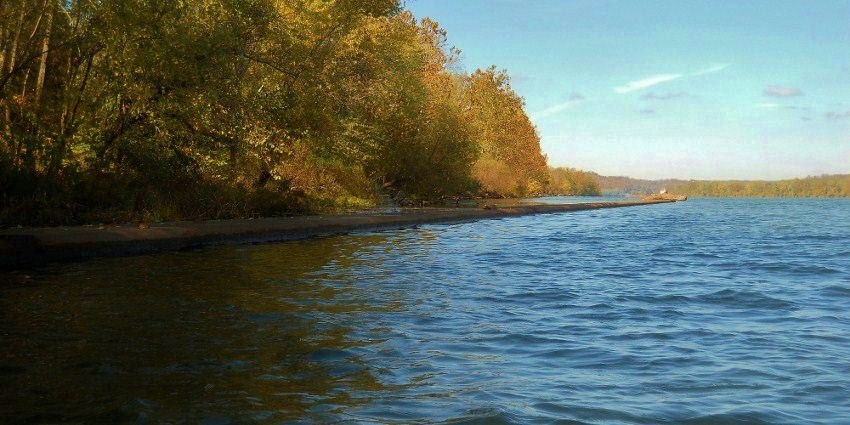
On the Ohio side at mile
214.5 you’ll notice another one of the old lock and dam locations (Old # 21). I
couldn’t see much of this one, although the old lock wall was clearly visible
along the shoreline as were some of the old steps leading down to it.
As for the old structures, I didn’t get out of the boat to make a more
thorough check but I didn’t see any trace of any of them onshore.
This location surprised me a little. I wasn’t
expecting another of the old dams so soon after seeing the last one down in
Ravenswood at mile 220.
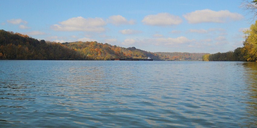
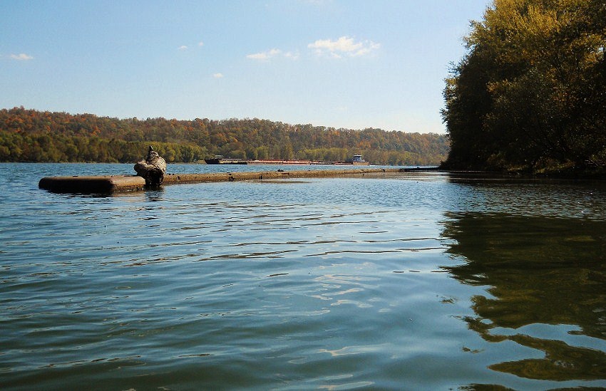
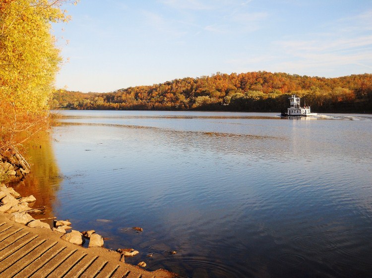
That’s American Electric Power’s “Leader” (http://www.aepriverops.com/)
in the first picture below and you’ll also note the Paula Ruble of Crounse
Corporation (http://www.crounse.com/)
in the second. I encountered quite a few of these vessels today.
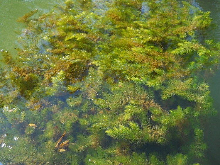
The last picture shows a type of alga that I don’t think I’ve encountered
yet on the river.
Once you get to mile 214,
you’ll note that a couple little streams enter the river here, one on each side.
Washington Run (on the West Virginia side) wasn’t navigable to me, but I
was able to get into Lauck’s Run on the Ohio side for roughly 100 yards.
I’d note at this point, too,
that there are quite a few streams that enter within the next few miles, none of
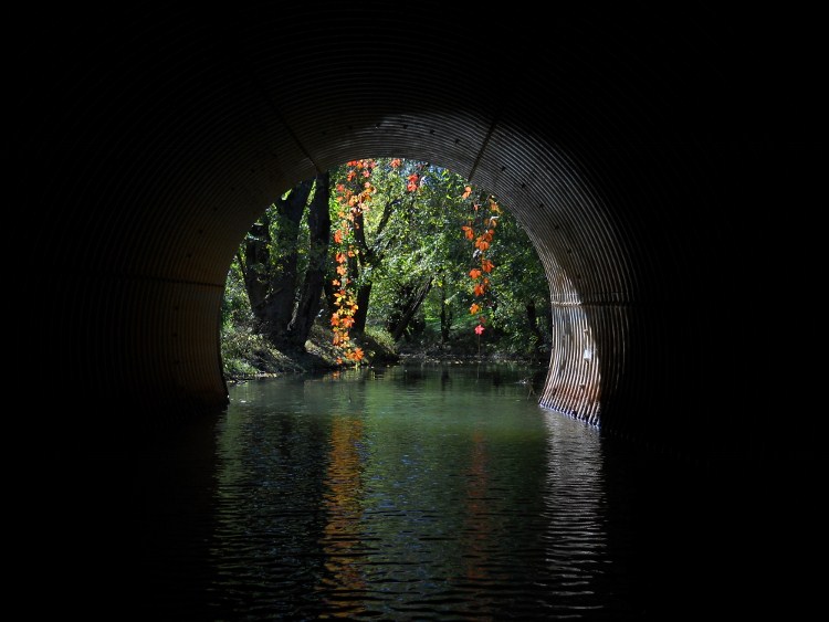
which are paddle-able except for Dewitt Run which comes in under a culvert
bridge in Ohio at mile 212. I’ll name them here.
In Ohio: Wells Run at mile 213.5, Rock Run at mile 213,
DeWitt Run at mile 212 and Long Run near mile 211. In West
Virginia there look to be 5 streams. 4 are unnamed and
Robinsons Run comes in near mile 212 across from Dewitt Run.
The first picture below was taken looking into the mouth of Dewitt and the second was taken looking out across the river into West Virginia...
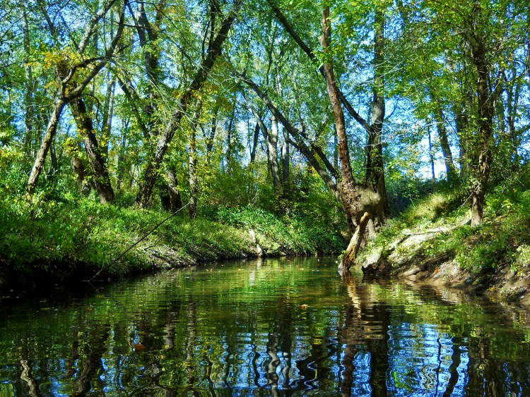
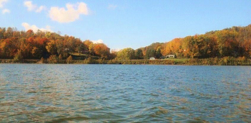
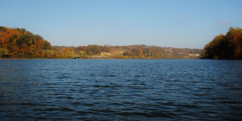
Note too, that there are some very nice rural scenes around the communities of Muses Bottom and Murraysville. In fact, I’ve begun to notice that the further I get upriver the better and more visible the farmland scenery is becoming. That’s starting to become more evident here. The final picture was one that I found interesting too as it shows some of the patterns that erosion can form in the soil.
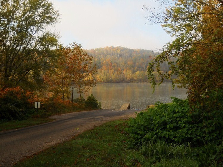
Up ahead now you’ll begin to notice all the work that was done to carve out the route for Ohio 124 along the river, and when you reach the Shade Run near mile 211 you’ll be able to paddle in under a road bridge...
First entering into a long
and fairly sharp left curve, you’ll find that the stream nearly doubles over on
itself in an almost an omega-like shape. In here you’ll see a
little boat ramp extending down from one of the farms at one point, but it was
in the midst of one of these curves that I was to meet with a deadfall.
It would come to vex me later, but I got around it this time...
Next you’ll enter into a long
right curve that will eventually deposit you along the edge of a cleared out
section of farmland, but following this you won’t have much further to go.
I rounded one last little right arc before my progress was stopped at the
point of a little incoming stream – a stream which had left an island of silt
and debris in the middle of the water. It was too shallow to
continue. I’d made it back into Shade Run about 2 ½ miles by
my count.
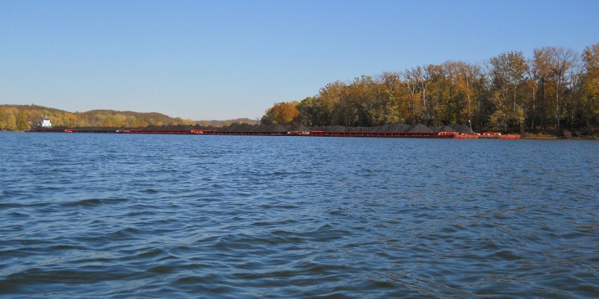
Back on the Ohio you’ll be in
the midst of that scenic curve I mentioned. It’s located amid
the community of Longs Bottom, Ohio and I found it scenic because of all the
work that was clearly done to carve out the side of a mountain for Ohio Route
124! Helping me to illustrate this (and adding to the
pleasant scenery in general) are three vessels: the Jean Akin of
Crounse Corpotation and two more from American Electric Power – the James E.
Pinson and the Roger W. Keeney…

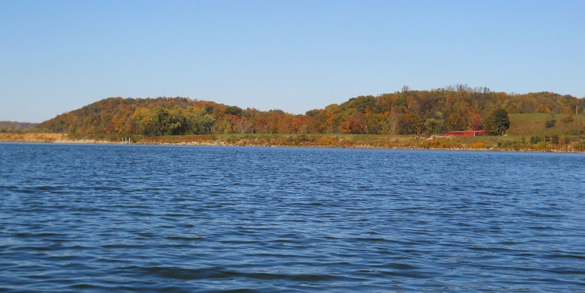
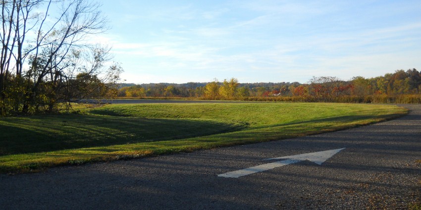
For the last section of the river you’ll straighten out to return to the ramp at mile 208. A CSX (http://www.csx.com/index.cfm/about-csx/company-overview/) railroad line has actually been accompanying you on the West Virginia side throughout the day, although you might not have been aware of it. It’ll now become more evident, as will that farmland you’ll see in Ohio. The latter will slowly begin to morph into the Ohio DNR’s (Department of Natural Resources) Forked Run Preserve and that’s where the ramp is.
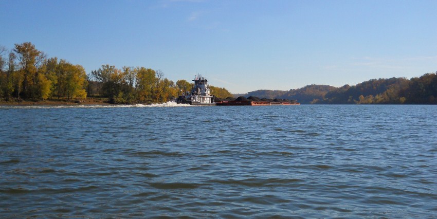
Before I left I was given a
nice sendoff as the Yankeetown passed by. I didn’t note a
company name or any insignia on this one though.
DIRECTIONS:
From Ohio Route 7 go 9 miles
on Ohio Route 248 until you dead-end at Route 124. 248 is a
very winding road, however, so you’ll want to drive a little slowly.
In fact, I saw a turkey directly beside the road at one point!
Turn left on 124 and go a mile. The entrance to the
ramp will be on your right. It’s pretty well marked with a
“Boat Ramp” sign and the actual name for the location is the Forked Run Ohio
River Access Point. You’ll come in, curve to the right and through
the parking lot, then curve left to reach the ramp.