Ohio River
Belleville Dam (Mile 204) to Hocking River
(199.5)
October 18th, 22nd and 24th
2012
This section was a
challenge. It actually took me 3
days and about 60 miles of paddling to cover this little 4 ½ mile section of the
Ohio! Why?
The only public put-in I found in this area was slightly more than 4
miles up the Hocking River... To
explore this area, then, you’ve got to paddle that 4+ miles out to the Ohio just
to start (and if you count the return trip that’s about 8 ½ miles just to get to
the river). Then you’ve got another
4 ½ to explore on the Ohio itself.
Double that for a round trip as well, add it to the 8 ½ miles you’ve already
paddled and you’ve already gone about 17 ½ miles.
…but what if you want to
explore all the side streams too?
Well, then you’ve got another wrinkle – the Lee Creek.
The first day I came out here I got to the mouth of the Lee and thought:
“This shouldn’t go back very far”.
Well it did, and after I got to a split in the water nearly 2 miles in I
realized that I wasn’t going to be able to paddle the whole thing without
arriving back at the ramp well after dark.
I had to head back (a safety concern of mine, being a lone paddler).
On my second day out here
I got on the water at the crack of dawn with the assumption that I’d have enough
time to paddle the entire section to include Lee.
This time I was able to get it all in and return to the ramp before dark,
but with nearly 5 miles of paddling in the Lee Creek alone I hadn’t had time to
paddle the other side streams in this section of the Ohio!
It had been another full day, yet I still hadn’t been able to see
everything I wanted to - hence the 3rd day.
On the plus side, I was able to get more than 1000 photographs in the 3
days so I’ll have a lot of pictures to share…
The ramp I used is located
right off Ohio Route 7 (or Ohio Route 32, or US Route 50 – they’re all 3
converged on this section of road) near the junction of Route 144.
The spot is located in the northeast quadrant of this intersection right
on the east bank of the Hocking River.
It’s a nice put in with plenty of parking but no facilities.
For this section I’ll just
go ahead and start from the Belleville Lock and Dam to keep with continuity
(I’ve been describing the river from an upriver perspective).
I’ll then put up some pictures of the Hocking River at the end of this
journal. I hope to explore it in a
separate series of journals at some point in the future.
The Belleville Lock and Dam
lies at mile 204 and you’ll also find that Rock Run enters directly upstream
from it on the Ohio side amid the community of Reedsville.
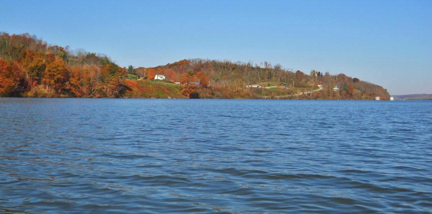
Reedsville is a very picturesque little community, lying as it does
alongside a hilly shoreline, yet you won’t be able to get into Rock Run very
far. It opens up almost immediately
to form a little circle of a pond and then the navigability ends at a small
culvert running under Route 7.
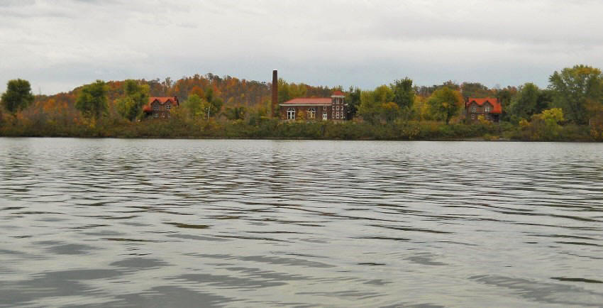
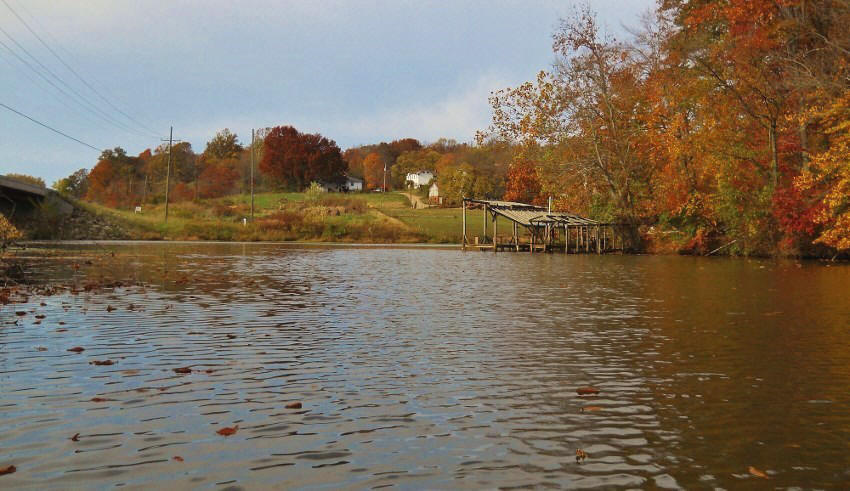
Meanwhile, the community of
Belleville lies directly on the other side of the water in West Virginia.
There looked to be a push boat over there with its own little cove.
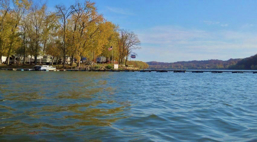
Go a little further upriver on this same side and you’ll note a large RV
park which happens to abut another of the old lock and dam locations (in this
case, Old #20). Here the old lock
structures look like they’ve really been kept up well.
In fact, they might even be used as dwellings now.
As for the RV park, I can’t
seem to locate a name for it but it lies very near to the Humphrey Cemetery on
the outskirts of town. If you were
to follow Public Stream Access Road (a.k.a. County Route 2/5) just north of the
community off US68 – and follow it westward to the end – you’d wind up at the
spot.
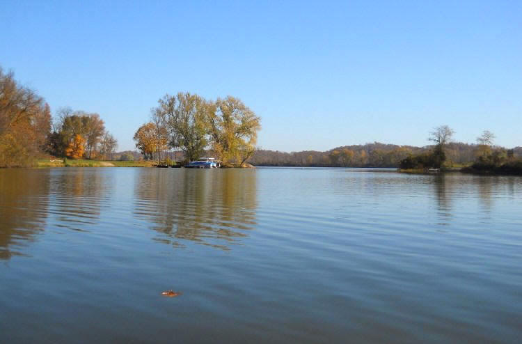
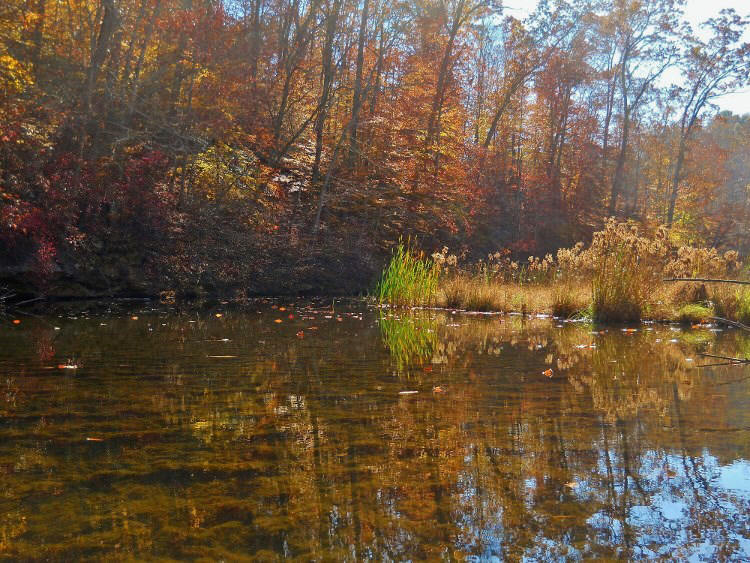
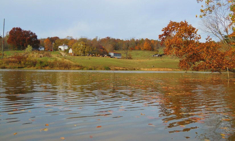
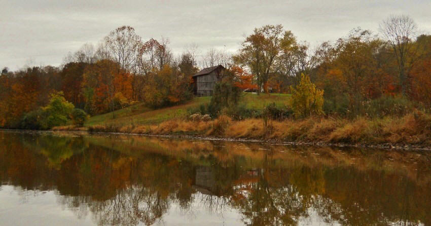
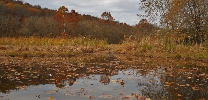
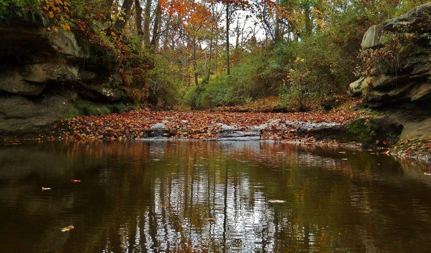
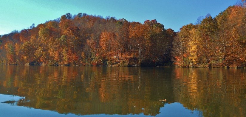
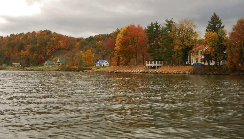
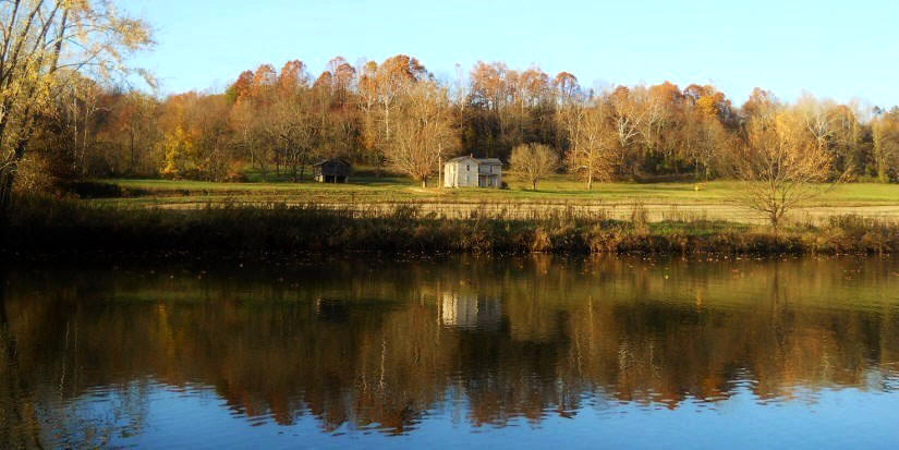
Look back over on the Ohio side now and you’ll notice a great scene in the fall with all the houses and the forest foliage. You’ll also have reached a stream called Sugar Camp Run. I paddled into this one under a large metal culvert bridge. You’ll find that this stream doesn’t go back too far (and unfortunately I lost my notes on just how far but it’s got to be less than a mile) but I’d be very respectful of landowner privacy back here. There’s a little cabin that’s very close to the water and had I seen anyone about the place I would have felt like I was impinging on them in this regard.
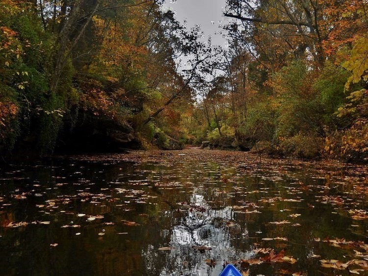
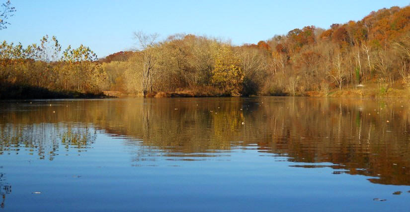
Paddle back out to the Ohio
River now, and the next thing you’ll encounter is the aforementioned Lee Creek
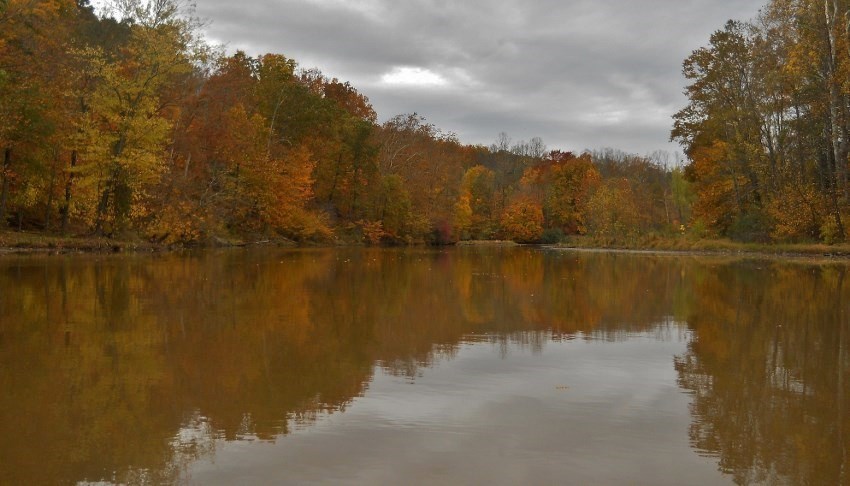
on the West Virginia side. I know
I’m zig-zagging quite a bit from shoreline to shoreline here, but Lee enters the
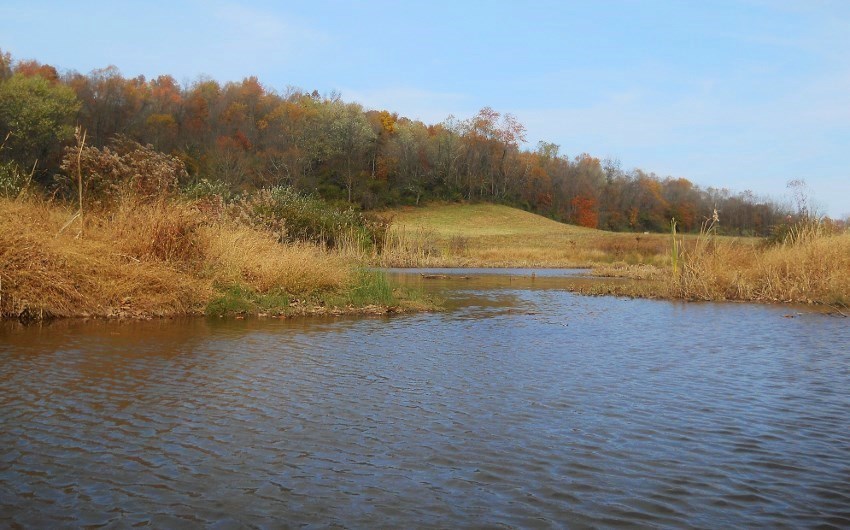
Ohio near mile 202 in West Virginia directly across the river from the Blake Run
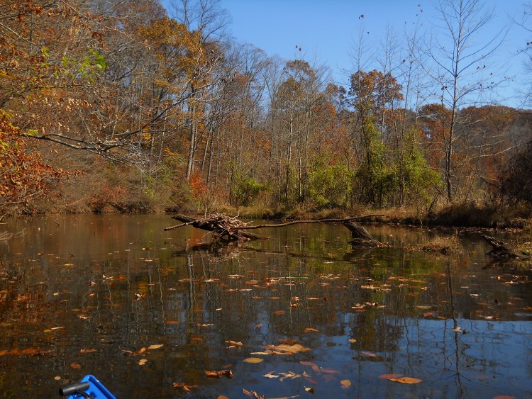
Light and Day Marker in Ohio. The
picture below was taken looking at the mouth from across the water.
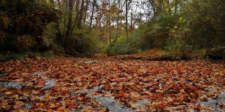
As mentioned, Lee has about
5 miles to explore and I can tell you that it is well worth your time to do so!
You’ll encounter a variety of terrains, some beautiful farm scenes and
one fantastic little section of palisades!
In general, this stream takes the shape of a question mark (albeit an
electrified one) and as I neared the mouth I met up with a little duck standing
guard. Later I was to be greeted by
a couple white geese.
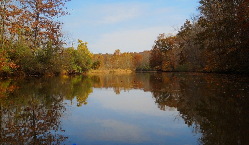
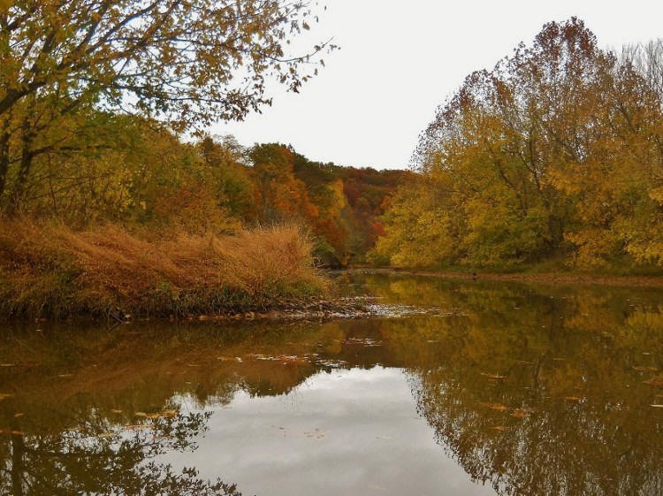
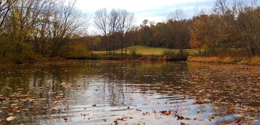
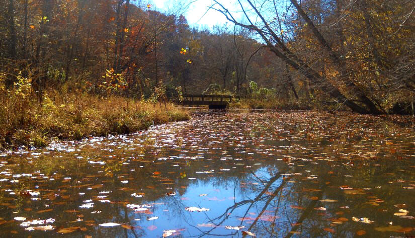
As you first paddle into
Lee you’ll find yourself alongside the grounds a beautiful low-lying farm on
your left and a large campground on your right.
The picture below was taken on the first day when the skies were quite
overcast…
You’ll also go under a
couple bridges and pass a couple shallow side streams.
These streams will also provide you with some pleasant scenes…
Then, just after the second
bridge, you’ll encounter a split.
You won’t be able to get very far if you go to the right, but you will get a
better perspective of the aforementioned farm when you look back out toward the
main stream…
Then, as you continue back
on the main stream, you’ll make a light left turn followed by a very sharp right
and as I look at the maps of this area now, I find that there’s a little road
back there on the right side called “Sherwood Forest Drive”.
That was the answer to a crossword puzzle clue I just had today – “Where
Friar Tuck Frolicked”! (Is that a
good sign?) You’ll find other lanes
back here too that are named for characters in the book:
Friar Tuck, Little John, Nottingham, and of course, Robin Hood!
It seems that the coiner of these names was a big fan of the classic
tale!).
Anyway, in this section I
also passed by another bird, in this case a Muscovy Duck.
These avians have red around the eyes and they look more like geese due
to their size. They’re apparently
endemic to South America but it seems they’re also starting to migrate up here a
bit more. I’ve seen a few of them
on my trips. You can find out a lot
more them by visiting their Wiki page:
http://en.wikipedia.org/wiki/Muscovy_Duck.
Someone did a really nice job on this write-up.
Anyway, you’re soon to see
some nice rock palisades on your left as you pass around the sharp right curve I
mentioned and in the midst of these is a great resting spot upon which the owner
of this land might enjoy fishing…
Pass by a couple dwellings
on your right now and you’ll enter into a left curve followed by a straight
stretch. Reach the end of this, and
you’ll find another fantastic farm to go with a major split in the stream.
This area is a fairly wide, low lying one in which you’re apt to
encounter numerous varieties of bird life.
Head to your left from here
and you’ll be on the north fork.
Head to the right, and you’ll be on the converged middle / south forks.
I opted to explore the north fork first…
I sure hope I’ll be able to
find the notes I took because I can’t remember exactly how far back in meandered
in this direction. It had to have
been at least a mile though.
What you’ll do is pass a couple very small side streams and then straighten out
to enter into a lazy left curve, and it’s along this curve that you’ll note what
look like some picnic shelters (there might be a little lake back there too).
This might very well be a private camping area.
(Also of note is that there appears to be a road back there named
“Schultz Mill”. Was there a grist
mill nearby at one point? If so, I
didn’t see any sign of it.)
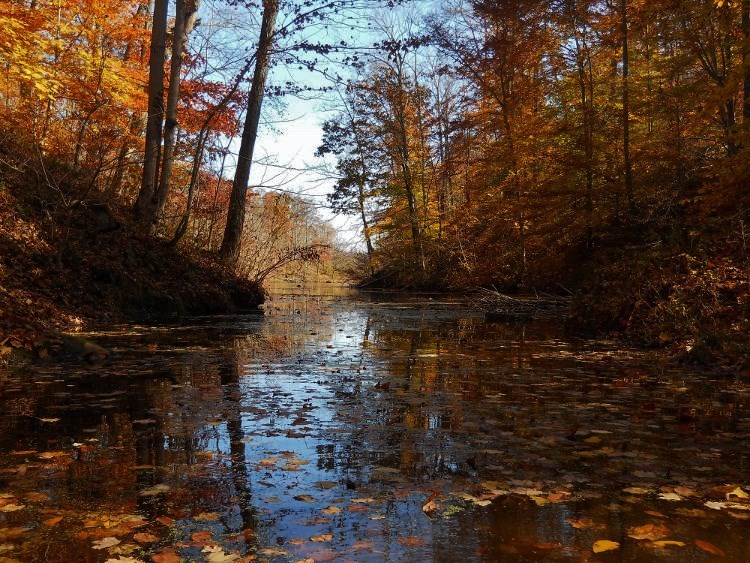
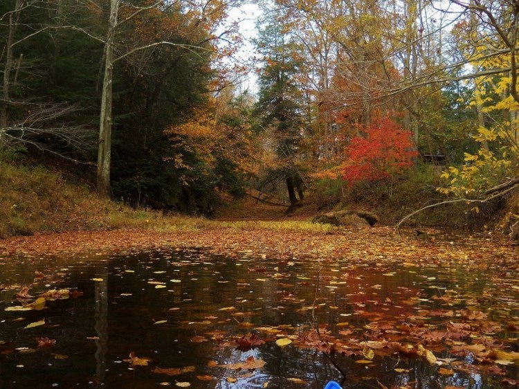
At any rate, the slack
water in this particular fork of the Lee ends soon after this, but not before it
introduced me to a very picturesque little bridge…
I’ve mentioned before that I really look forward to the surprise of
discovering just what kind of scene will greet me at the back of any given
stream. Sometimes it takes me quite
a while and quite a lot of work to get there, but the views at the end have
seldom disappointed. Such was the
case here. I’d note again, however,
that you’ll probably want to mind your “P’s and Q’s” back here.
There’s another dwelling which lies pretty close to the water.
You probably won’t want to get too close.
Back at the convergence of
the forks, I next took a left to explore the Middle/South fork.
I immediately met with the scene below.
In this direction you won’t go very far before you reach a bridge that
spans overhead. This is US68, and
just after you pass under you’ll find that the forks split alongside the grounds
of another farm. The farmhouse
itself lies atop a little hill which slowly tapers down to the water amid what
amounts to a mown stretch of grassland.
It really has a commanding view and I was again a little bit
self-conscious. As a result, I
didn’t attempt the middle fork out of respect for the landowner but I did take a
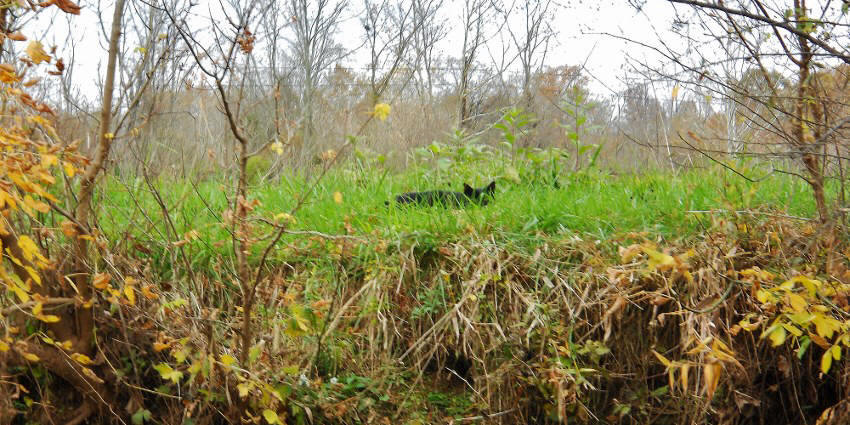
right to try a little of the south fork.
This branch will first take
you along a fairly sharp left curve around the grassy land of the farm and at
one point I espied a little cat furtively hunting for mice.
Talk about getting the “evil eye”!
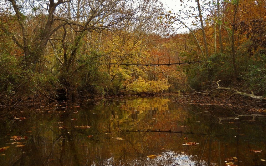
Then, when the curve ends
and you begin to veer right you’ll see a spot where a bridge used to go over the
water. Straighten out and you’ll
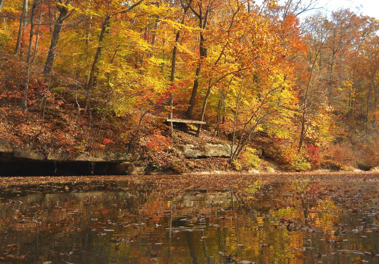
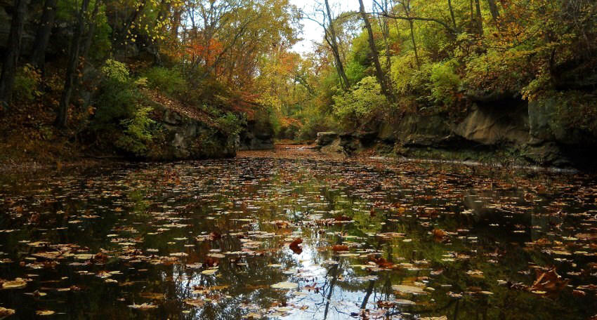
find a bridge which still does span
the water. It’s after this that
you’re apt to be captivated by a beautiful sight – a sweet little section of
palisades which concludes at foot-high waterfall!
After 3 long days of paddling this was a very nice send off and it was
well worth the wait!
Here are a couple scenes as
I paddled back to the convergence of the forks…
…and as I was coming back
to the Ohio on the first day I stopped to take this last picture from Lee Creek.
Here I’m looking out at the Ohio just as a push boat is going by with a
load of barges…

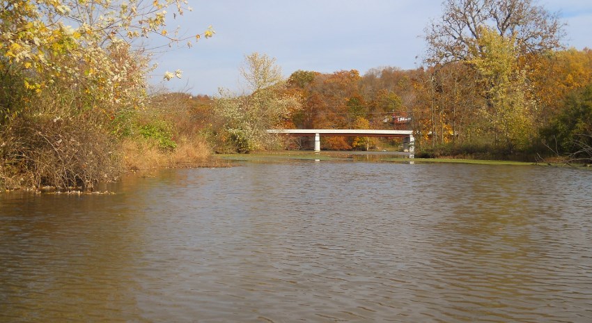
Back on the Ohio you’ll now
be in the midst of a straight stretch which will deposit you in Hockingport,
Ohio at the end – but not before you pass by another culvert on your left at
mile . This one is for Indian Run.
Like the culvert back at Sugar Camp Run you’ll be able to get under this
one to explore a little bit if you want.
In fact, I saw a power boat back here!
The gentleman must have had to duck under the deck of his boat to get in.
Below are some scenes from this stream…
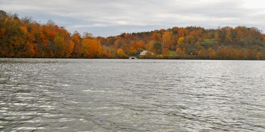
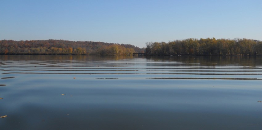
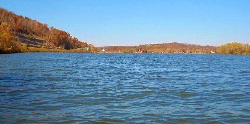
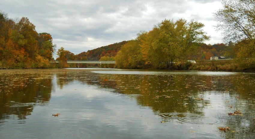
I took the picture below
back on the Ohio. The fall foliage
was great today.
By this time you will have
been able to the community of Hockingport, Ohio up ahead.
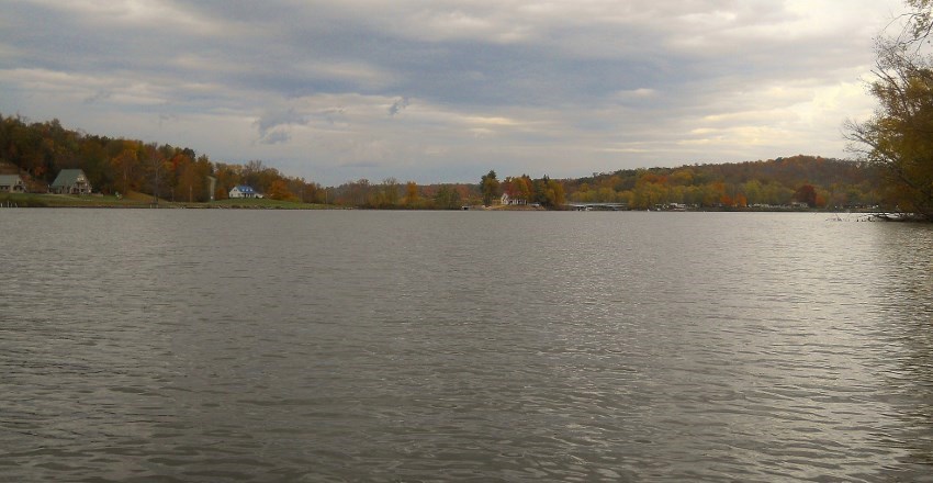
What follows are some photos which were taken alternatively on sunny and
cloudy days.
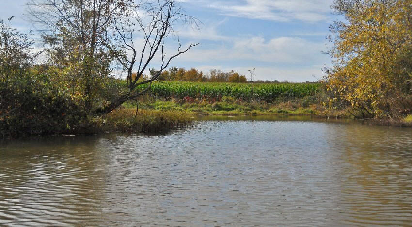
Before you get to the mouth
of the Hocking River on your right hand side – and
just before – you’ll reach
another incoming stream. It’s
unnamed so far as the charts go, but it’s a nice diversion.
I got back perhaps ½ mile.
Interesting here is that it looks like there’s a very narrow strip of land
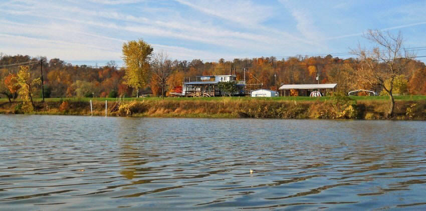
dividing this stream from the Hocking River and upon that land you will find an
amazing dwelling. I hope the owners
of this abode don’t mind my putting up this photo, because this is one unique
sight! The house in the second
photo below is actually a little paddlewheel boat!
If, perhaps, the two streams ever rise to the point where this area is
flooded the owner here will have no problem.
He’ll simply float on the water!
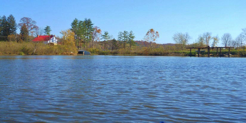
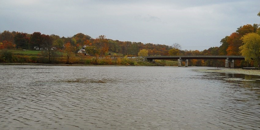
These next two pictures
were taken from the mouth of the Hocking – one on either side.
There are some great looking dwellings here and there’s also a place that
you can stop at to get gasoline for your boat.
I’ll leave you with a few
pictures from the Hocking River.
The Hocking is set to be a whole other series of trips for the future, but my
main concern now is how I can possibly do the next upriver section of the Ohio
itself. The next public ramp on the
Ohio is in Belpre at mile 186.5 – fully 13 miles upriver from the mouth of the
Hocking (and there look to be many long side streams in that section).
There sure is a lot of water to paddle out here.
I hope that this journal will be helpful to anyone who wants to paddle
out here and wants to know what it might be like to do so.
DIRECTIONS:
The ramp I used is located
right off Ohio Route 7. Don’t get
confused as I did, however. US50
and Ohio Route 32 also merge with Route 7 for a time, but if you were to
stay on Route 7 travelling
between Parkersburg, WV and Pomeroy, OH this ramp would be almost right in the
middle of the two cities near the junction of Route 144 just northeast of
Coolville, Ohio. The spot is
located in the northeast quadrant of the intersection right on the east bank of
the Hocking River. It’s a nice put
in with plenty of parking but no facilities.