Today I put in much closer to where I'd end the trip, paddling downriver and then back up as I'll be describing it. I did this because I pretty much had to (there's only one public ramp in the section) but I might have done it anyway. I love the old, abandoned lock and dams and the ramp I used is on the site of one in Washington, West Virginia (old number 19 with directions below). The lock houses look like they're still here and they appear to be private residences now. There's also another structure down by the water which was apparently a powerhouse. Sadly, the latter has not been maintained although the beautiful brick framework still looks to be mostly intact. I've been here a few times but I've never gotten too close because I always feel like I'd be trespassing if I went to take a closer look. Besides, the area is fairly remote and there's clearly been some vandalism to the structure so you never know who you might run into. Anyway, you may find deer scattering in myriad directions as you drive inDown over the top a little hill.
%20(2).jpg)
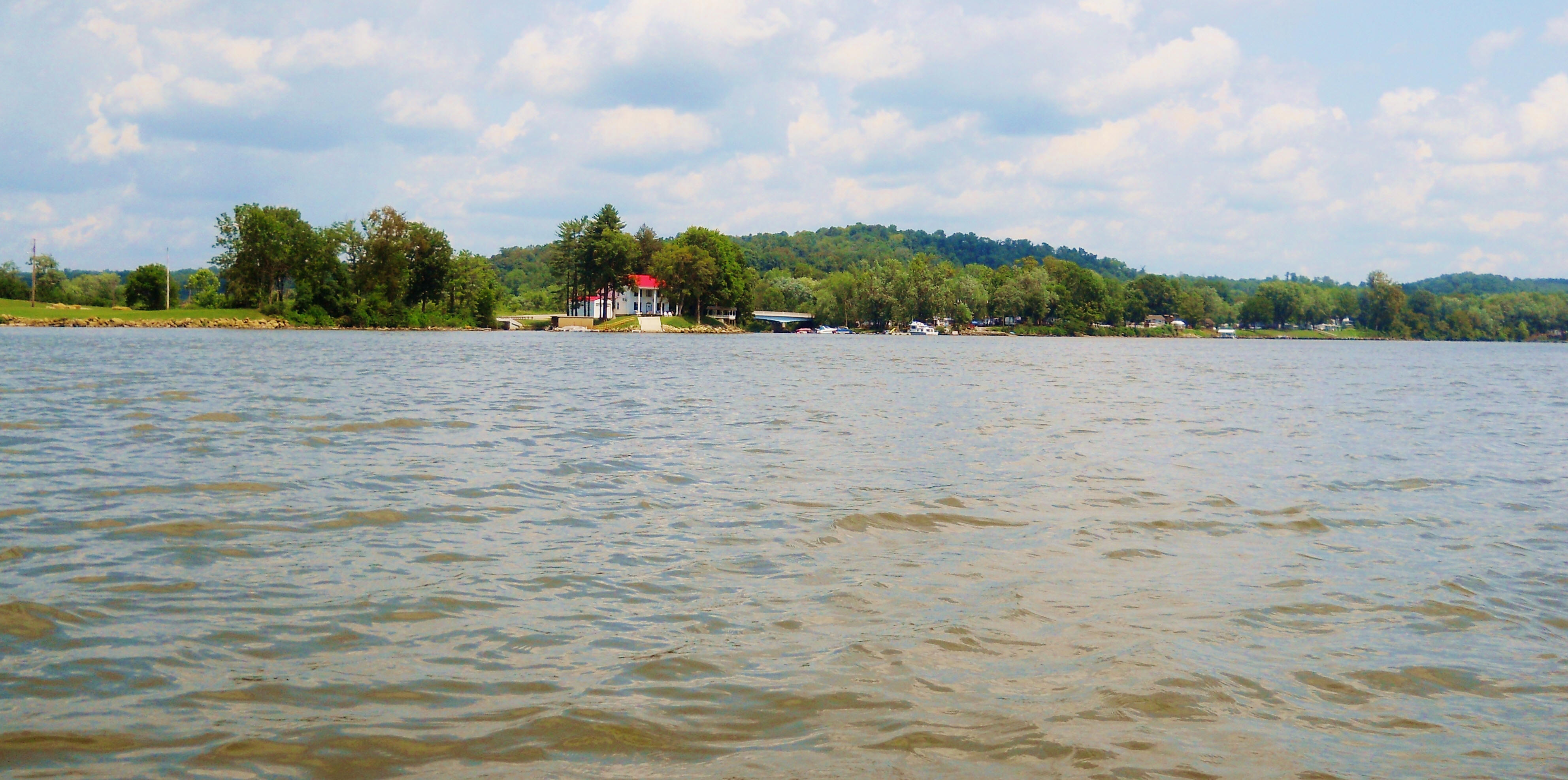
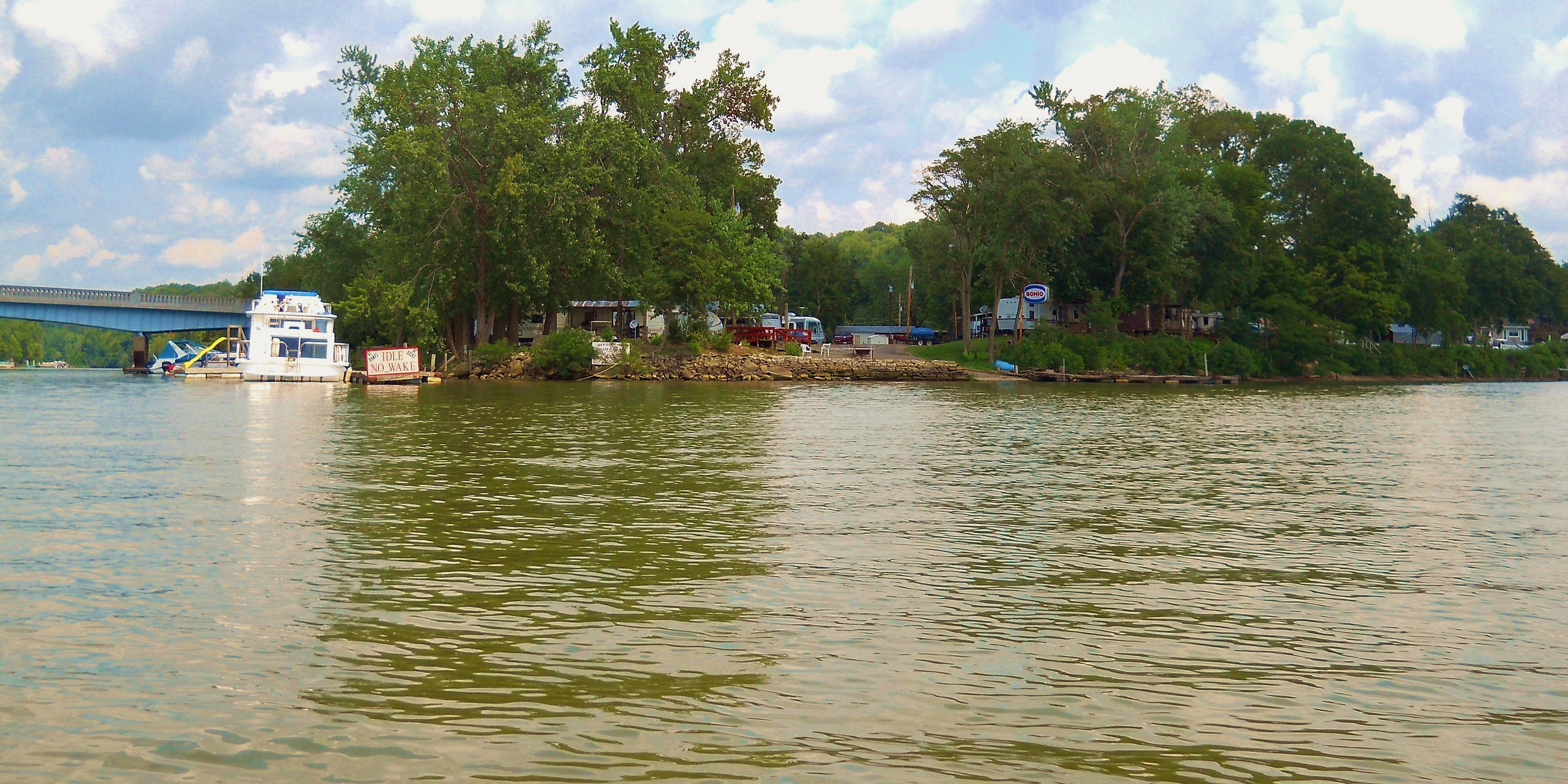
Down at Hockingport, Ohio (mile 199.5) you'll find some wide, sweeping views in the midst a fairly sharp curve in the river. Some great looking homes lie to the left of the mouth of the Hocking River which is also here, and one of them even has a nice looking totem pole! If you're considering paddling the Hocking River I've found that the slack water goes back about 15 miles from here. I've described it in two separate photo-journals elsewhere on tis site. Anyway, to the right of the mouth you'll find a ramp. The charts indicate this one as belonging to Eddie's Marina. Below are some scenes from Hockingport with the pushboat you see in the last one being AEP's Jeffery A. Raike...
.jpg)
As you begin paddling upriver on the Ohio you'll have Hockingport on your left. I saw a sign for the Athens Boat and Ski Club in here when I first paddled the area in 2014, but I didn't notice it in 2019. Meanwhile, there's a train track on the West Virginia side that's been carved out of some forested hills. It will follow close to the river almost all the way.
Meanwhile, before you pass the last of Hockingport's houses you'll have entered into a left curve in the river. Swan Run enters in the middle at mile 198.5. I was able to paddle through a tunnel and into it on the first trip but not on the second. It doesn't go back very far but there are some nice views here...
.jpg)
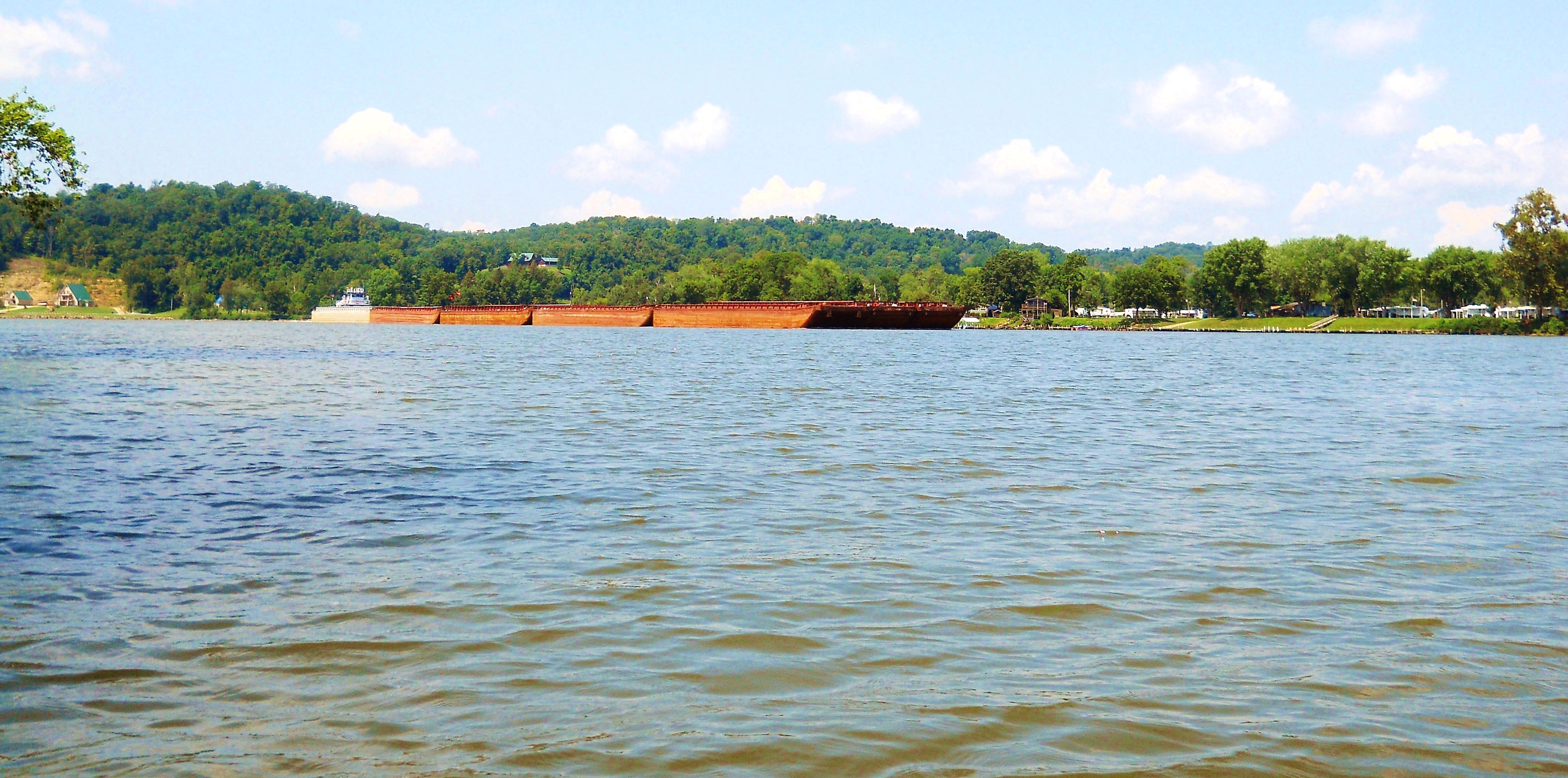
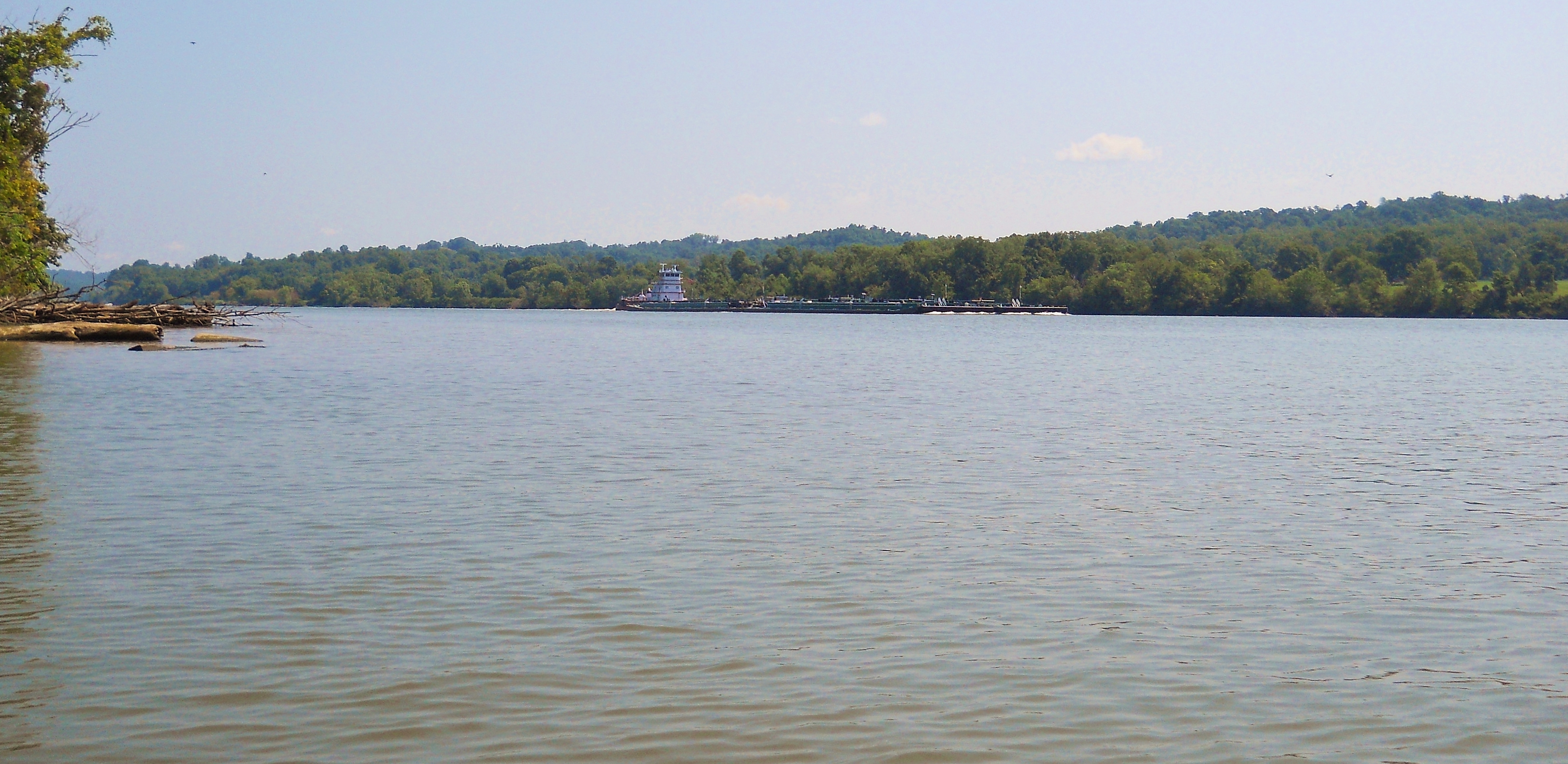
This can be a popular section of the river for commerce, by the way, with Parkersburg being just upstream from here. When I arrived back at the Ohio from Swan Run one one trip I saw Ingram Barge's James E. Anderson pushboat coming upriver (first picture) just as I'd seen the Pelican State of Settoon Towing heading downriver when I was entering (second photo). You'll see Ingram Barge all over the river, yet I'd never seen Settoon Towing before. They're apparently located way down in Pierre Part, Louisiana but pushboats often change names and owners and as I compose this in 2019 I've found that the Pelican State is no longer owner by Settoon. It's now owned by Savage Marine Services and the name of the boat itself has been changed to the C.A. Savage. Here's a great webpage on this particular boat and on many others.
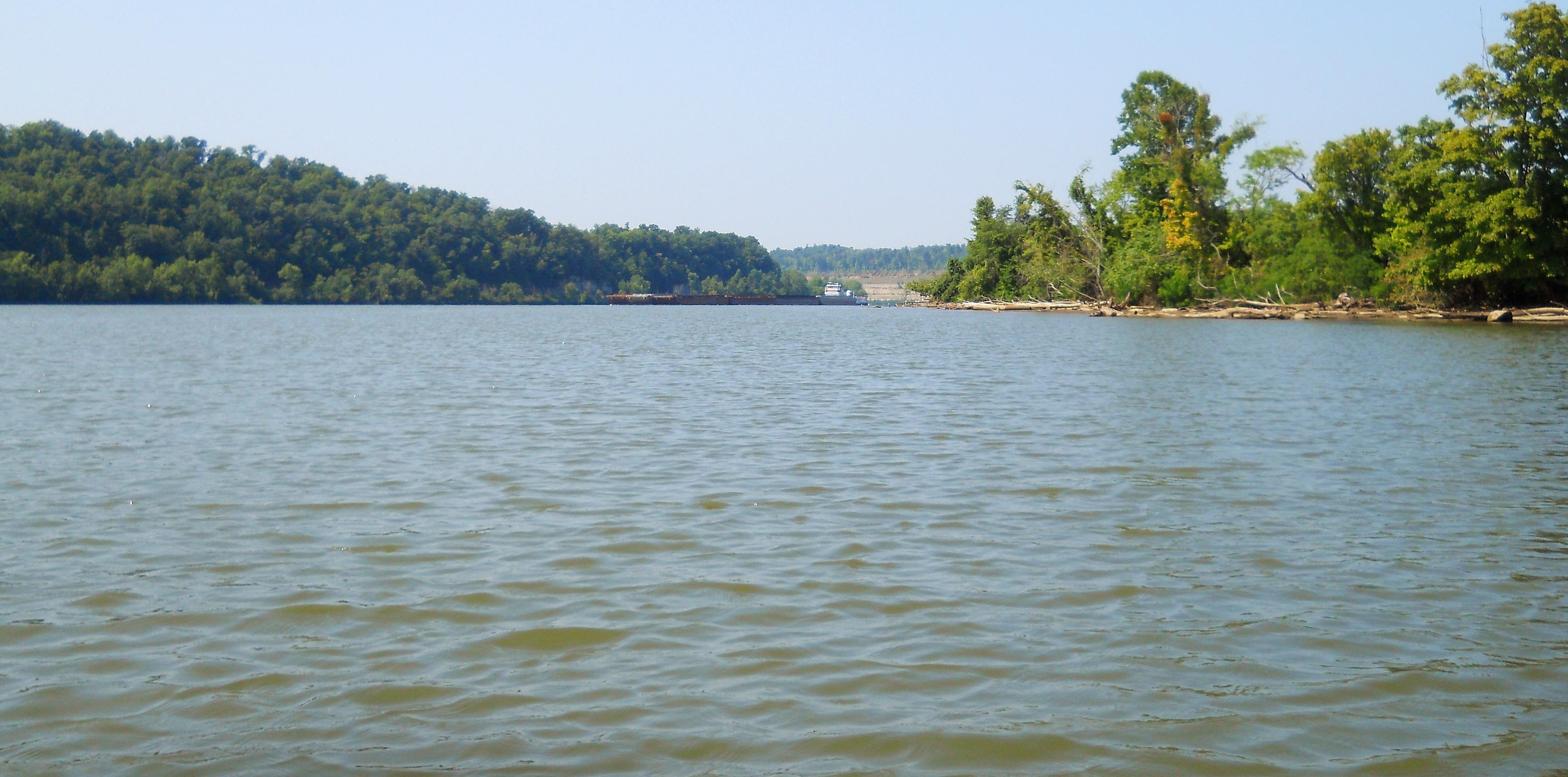
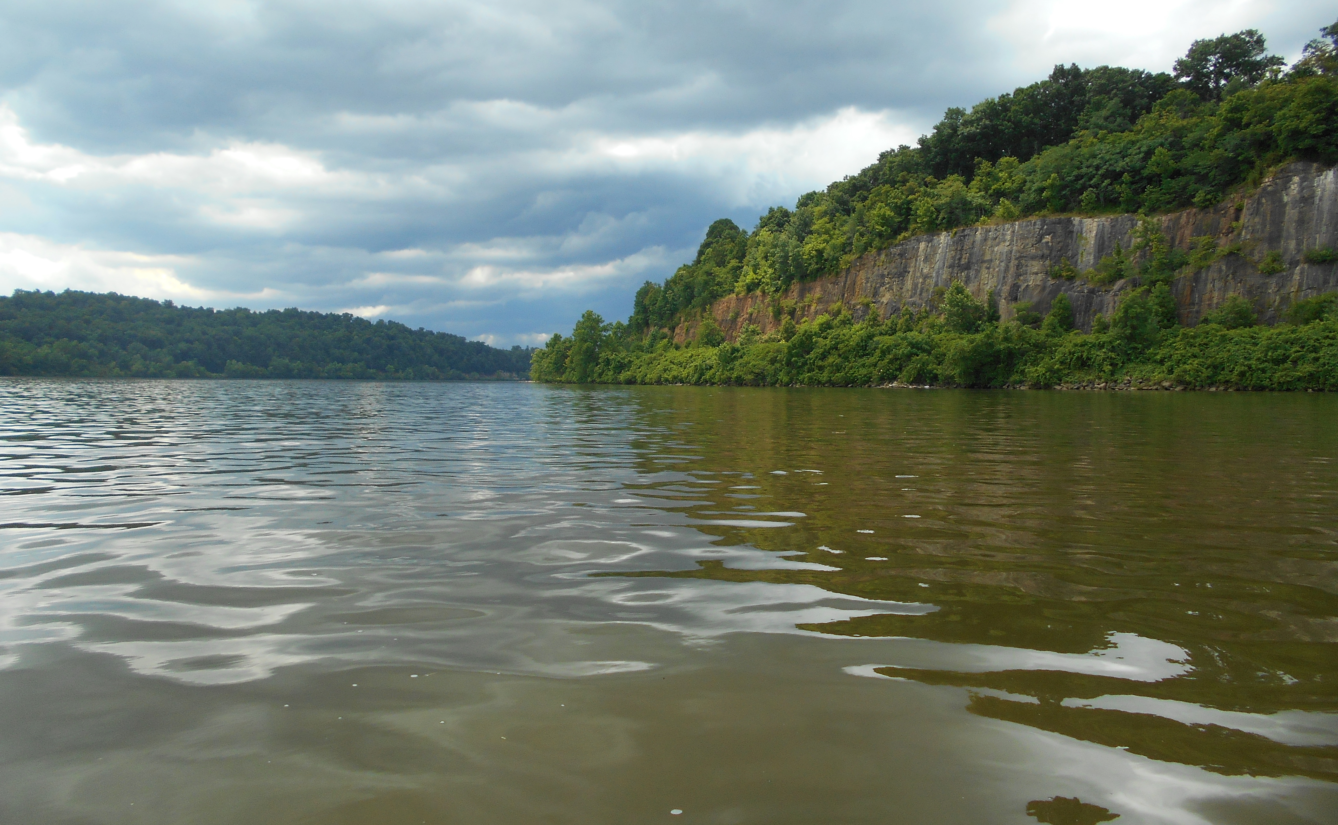
Next you'll find a short span rocky palisades on your left. I got the picture below as I looked back at them from upriver during the second trip in 2019, at which time I found myself in the midst of a thunderstorm. That's why the picture is darker than the others, but I think it gives you a different perspective as to what it looks like out here on a cloudy day versus a sunny one - and the colors are so much more vivid!
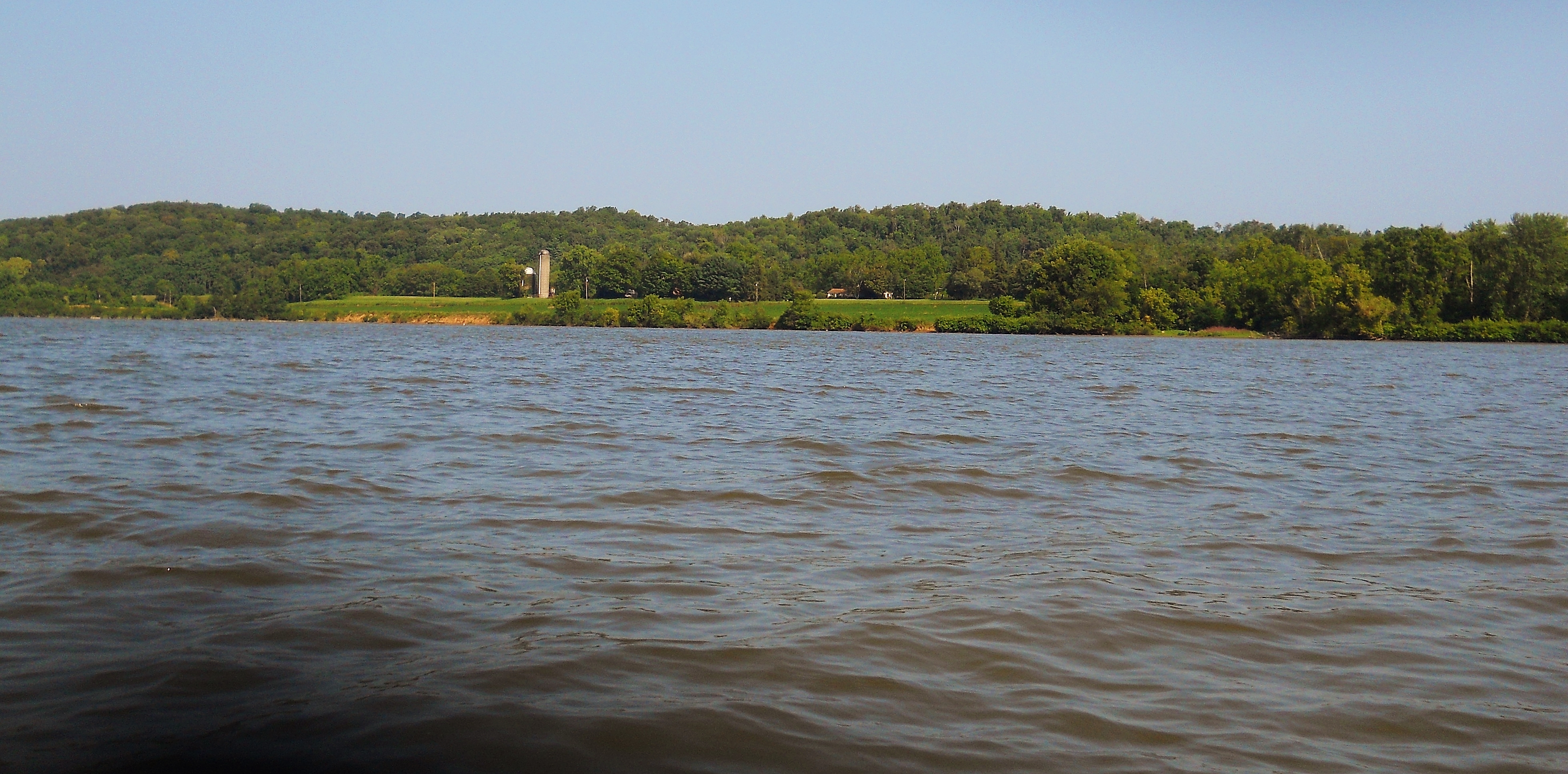
By now you'll have seen Mustapha Island up ahead. It's a relatively small one that's considered to be part of West Virginia, although it looks like it's closer to the Ohio side. The best photo I could get was when I took a shot looking back downriver (below). You may also be able to spot some nice looking farms on the right side in the midst of Lamp's Hollow in this section.
.jpg)
You're now entering into a 2 1/2 mile left curve and if you look on the left you'll have a fairly clear view of a beautiful looking farm at mile 196 (first picture). There's an unnamed stream here too that has some pretty scenes (second and third pictures). Sometimes you can paddle in, sometimes not.
.jpg)
.jpg)
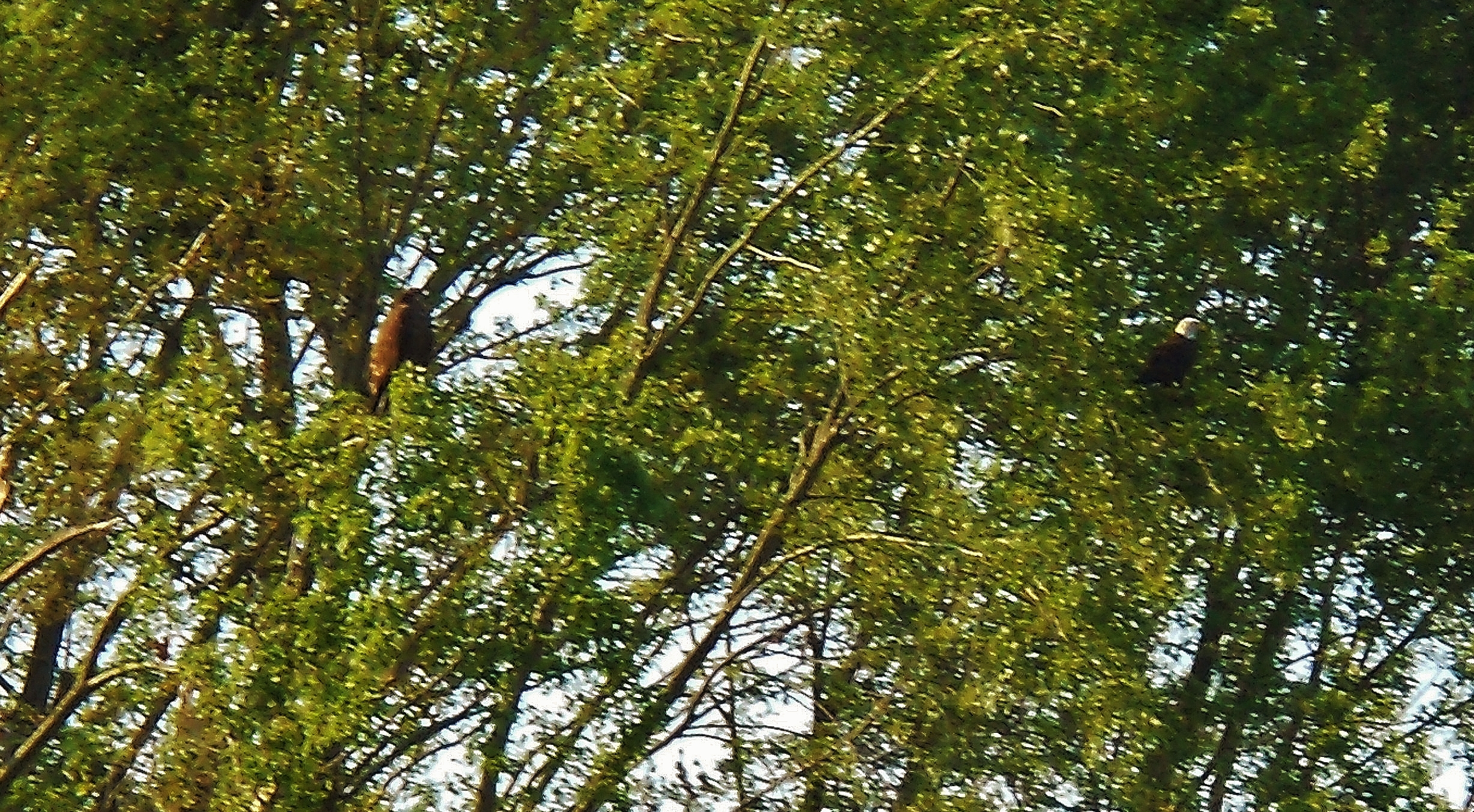
At mile 194 you'll find Belpre Sand and Gravel (a Shelly Materials affiliate) on your left side while Sand Creek will enter the river on your right. I noted an eagle and hawk hunting together in the trees just downriver from Sand Creek on one trip. I sure wish my camera had been able to get a better picture. You can meander around for about a mile in Sand Creek. It takes on kind of a bowl shape.
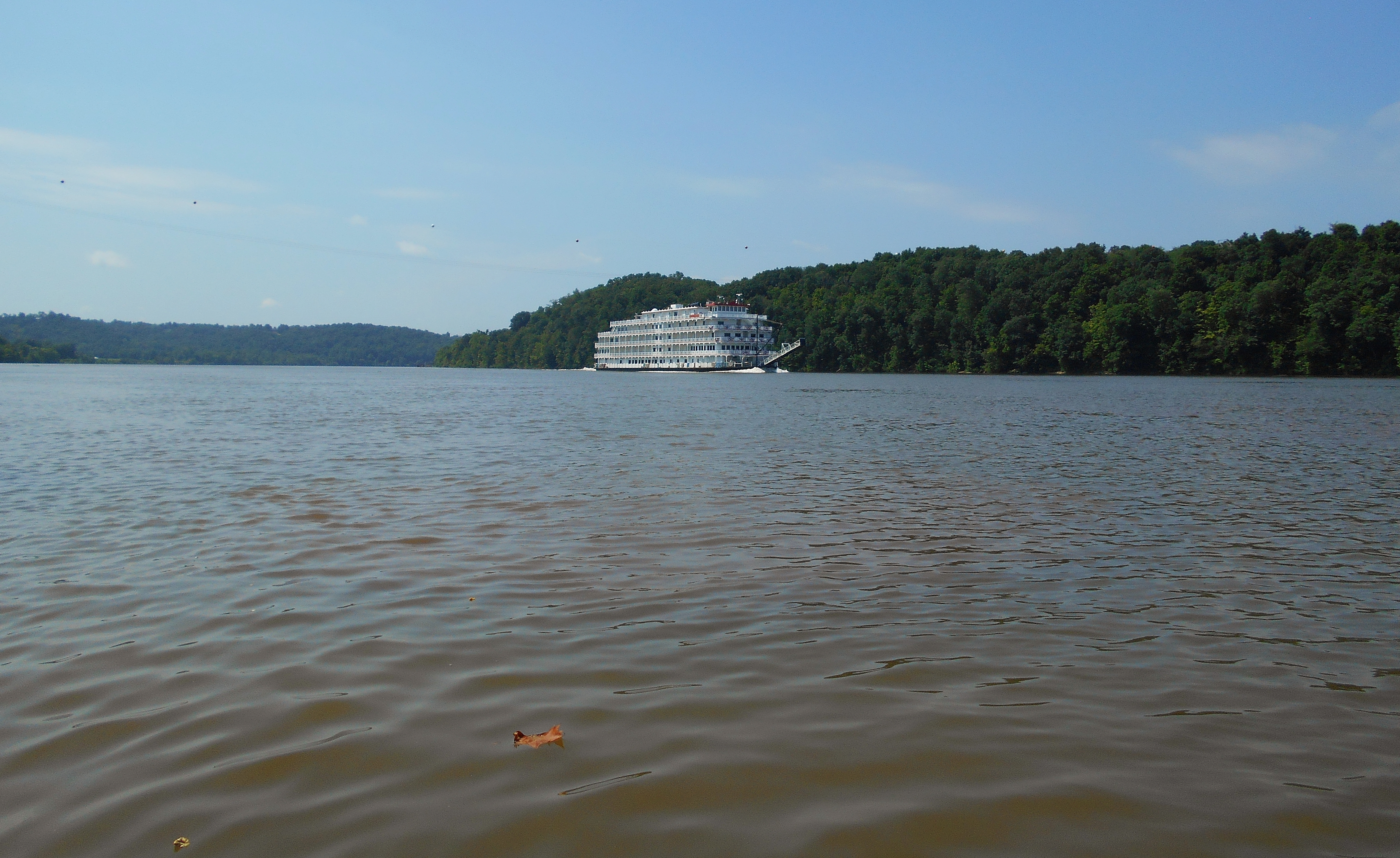
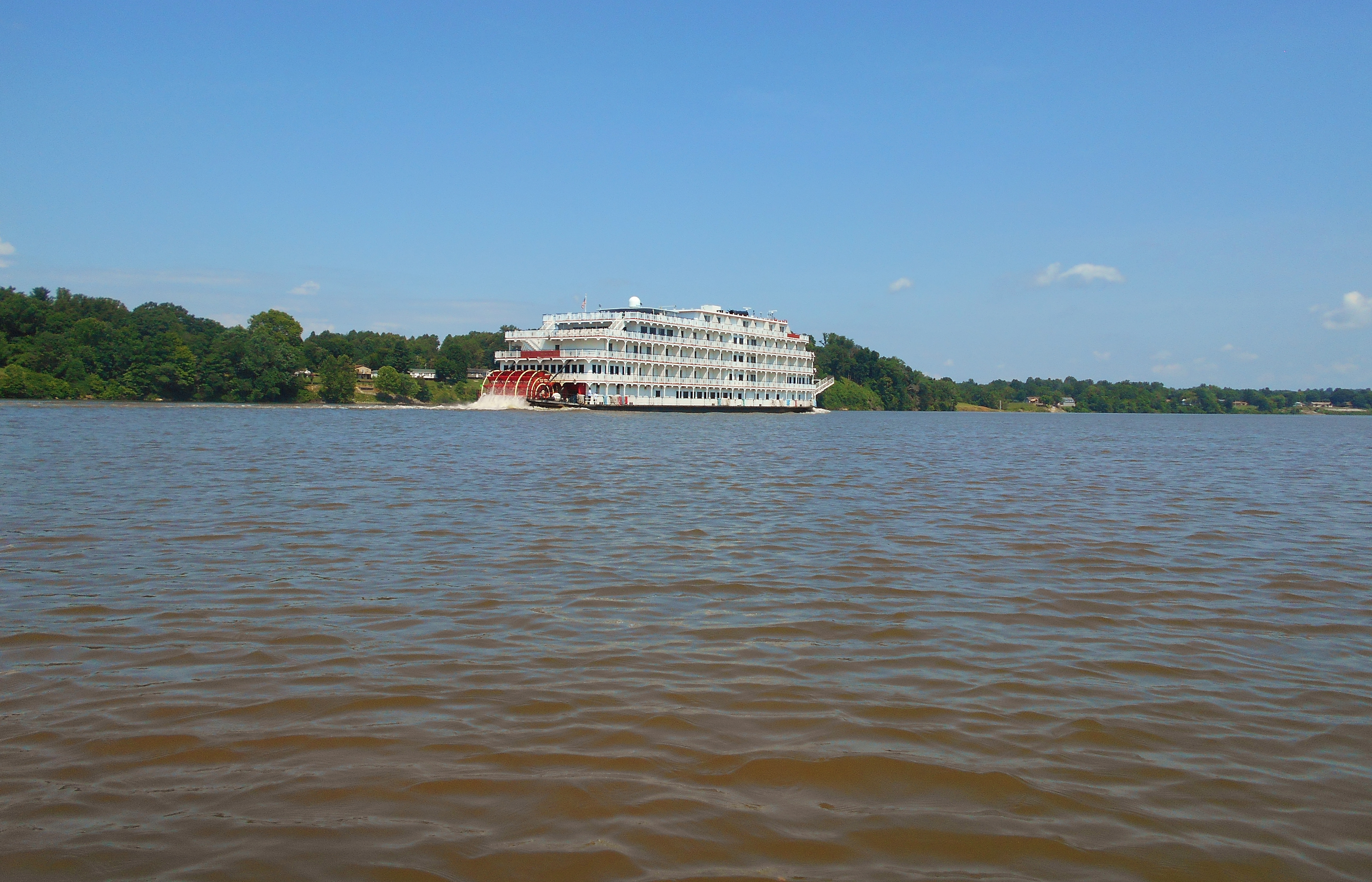
Then, back at the river in 2019 I met up with the Queen of the Mississippi. It's always such a thrill to see one of these beautiful tour boats on the water!
Around mile 192 you'll find a trio of incoming streams on your left while the ramp will be on your right. So far I've found the first two streams - Dunfee Run and Sawyer Run - to be too small to navigate but there always seem to be great views from any stream and these two are no exception. The Little Hocking River is the third stream. I'll describe it in the next upriver section, but I've found about 5 miles of paddling in here. It makes for a nice day trip if you put in where I did today and paddle across the Ohio to explore it.
DIRECTIONS:
This ramp is on the West Virginia side of the river almost directly across from the mouth of the Little Hocking River which enters on the Ohio side. If you pull up a map of Washington, West Virginia it's off of Dupont Road (or Route 892). If you see where WV Route 50 crosses the river just West of Parkersburg it's a hair past 3 miles East on Dupont Road from there. This was the site of the old Tri C Sports Fields which are now abandoned. You'll see a road which leads to a business called Northwest Pipe. You'll follow the road toward the river, going past the business and continuing on a dirt road to get back to it. There isn't a ton of room to park, but there usually aren't too many people here anyway.