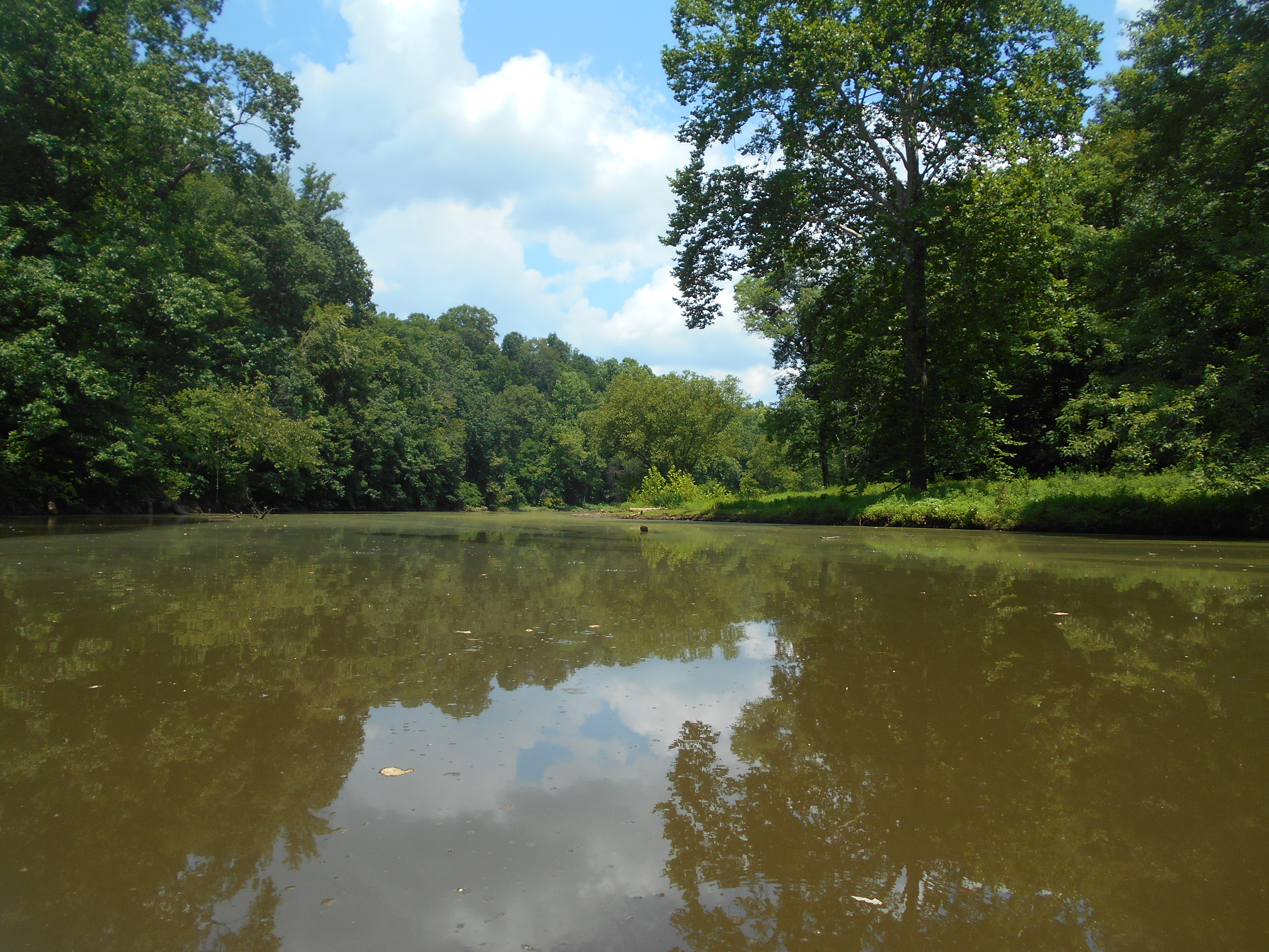
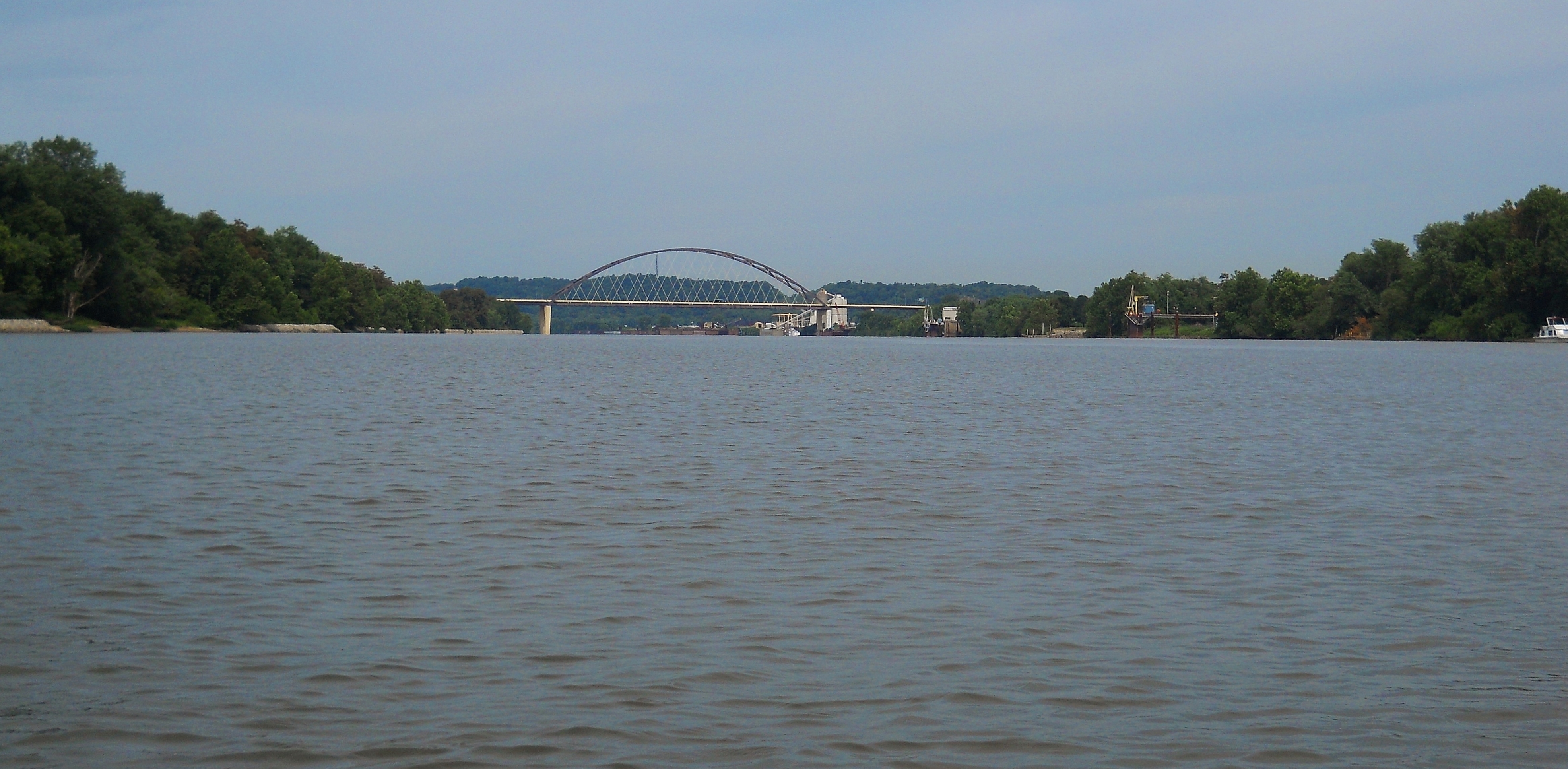
For this section you have a couple good options for put-ins. One is in the midst of Civitan Park in Belpre, Ohio and the other is on the grounds of an old lock and dam (old #19) in West Virginia almost directly across from the mouth of the Little Hocking River. The former is safer and more wide open, while the latter is more remote but with interesting historical vestiges. First a photo from the ramp in Belpre...
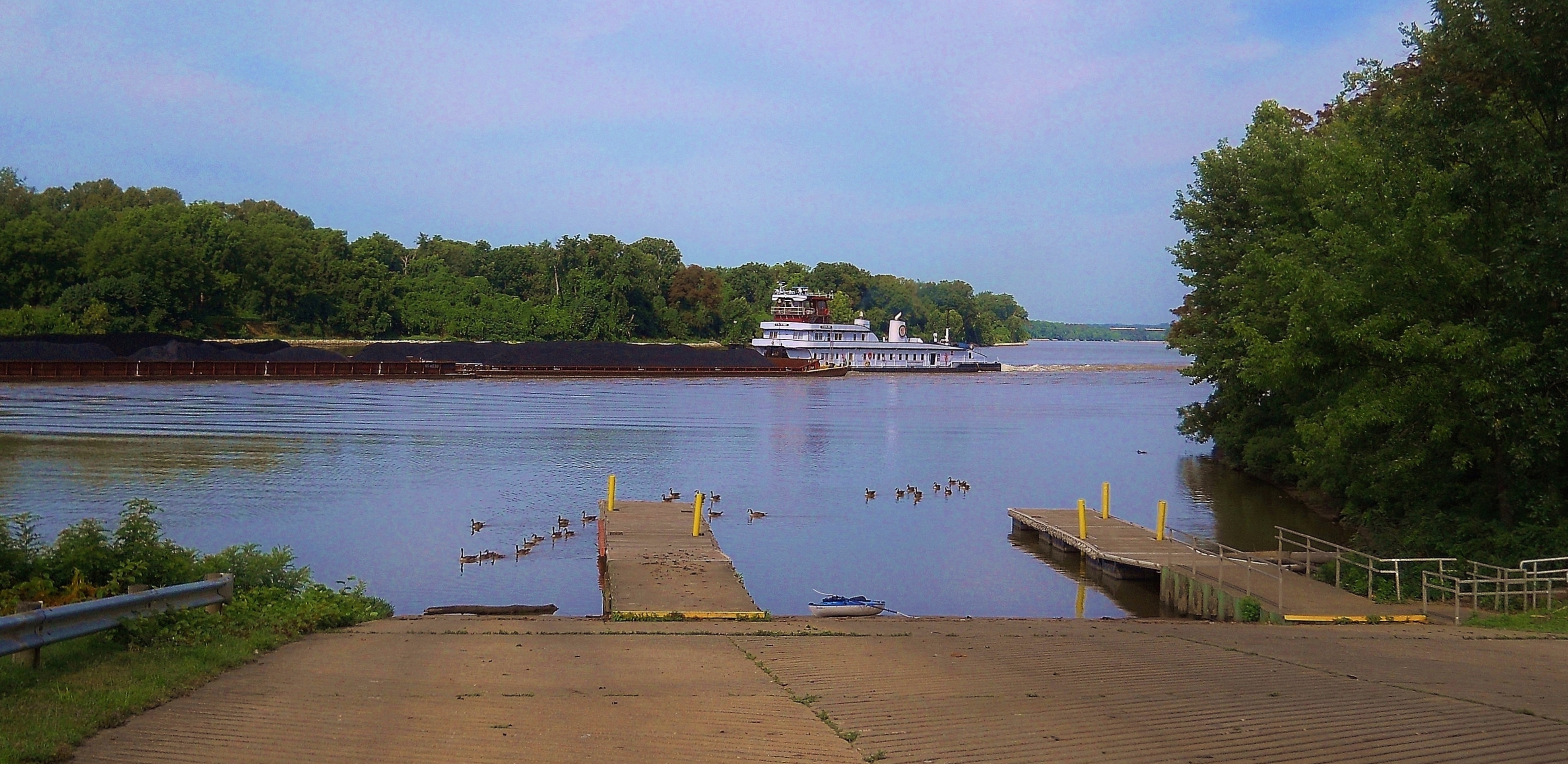
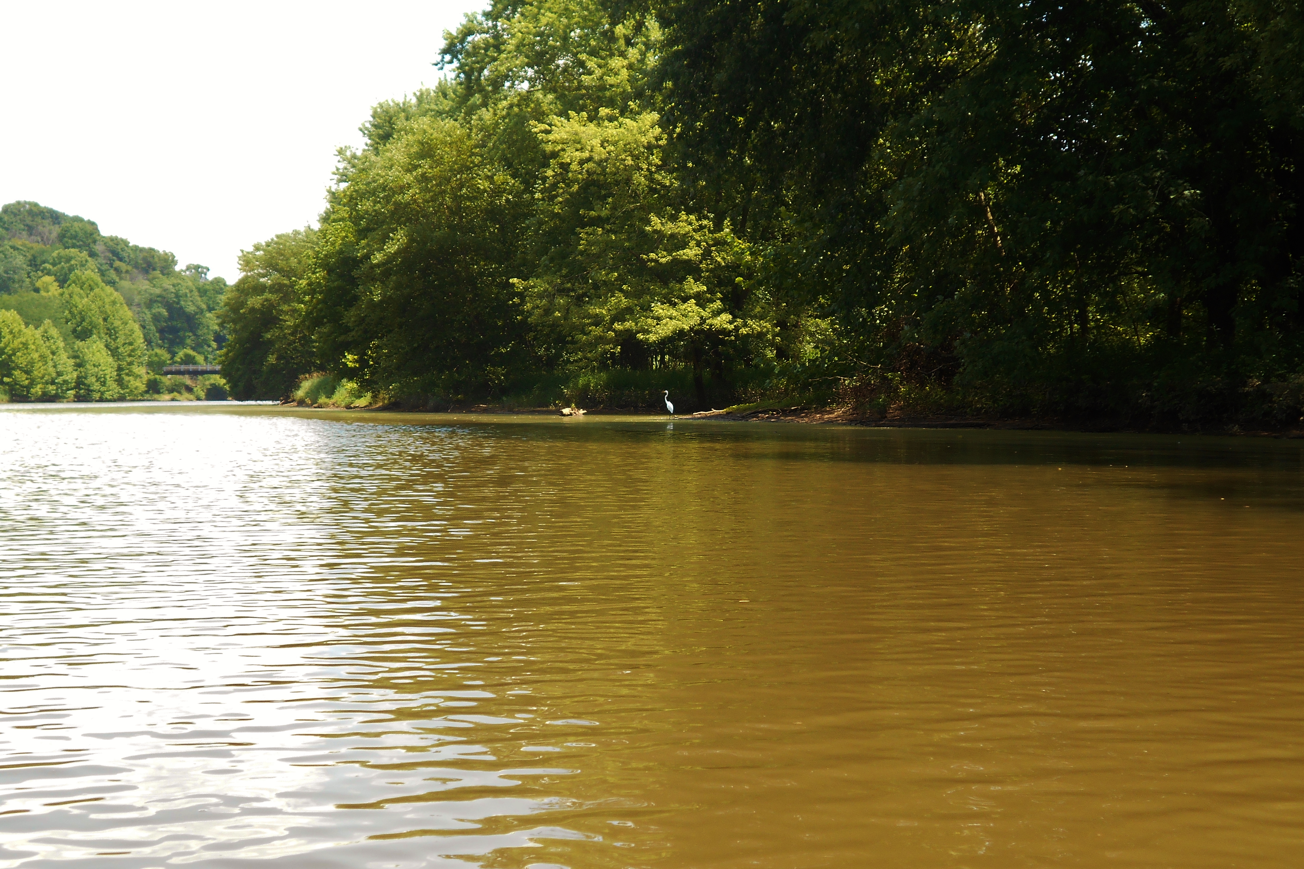
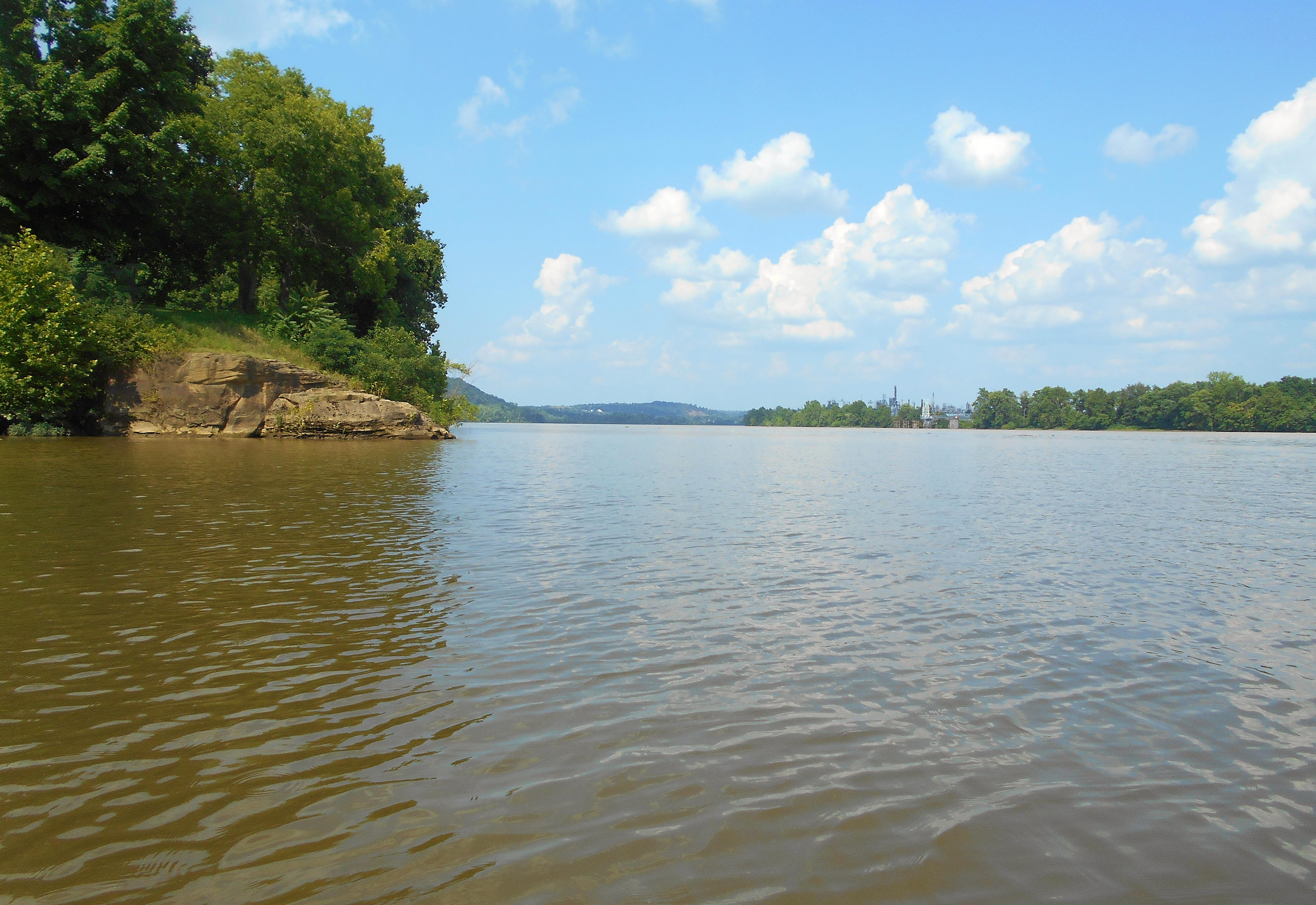
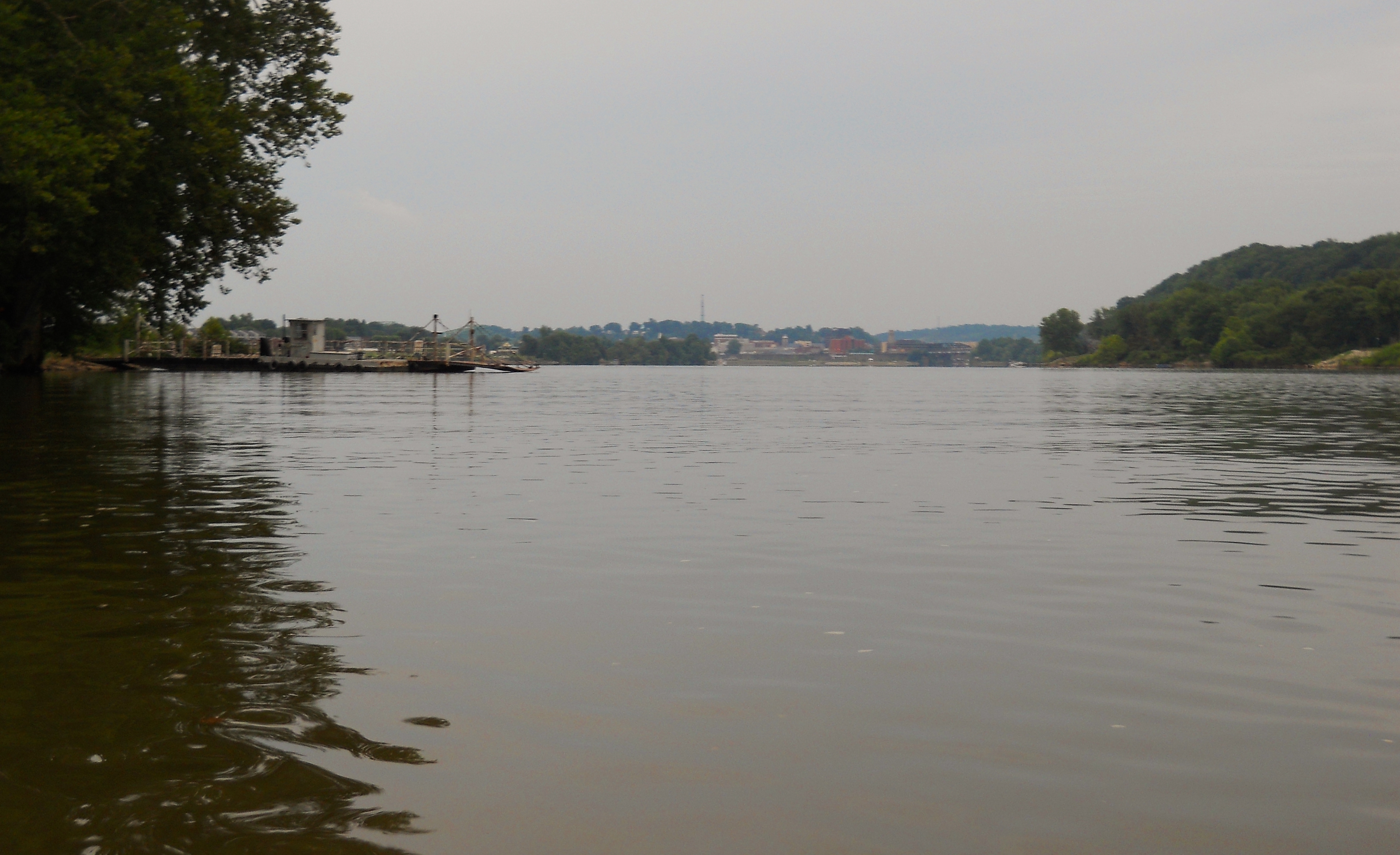
...and here are some scenes from the ramp at the old lock and dam. You can find this spot behind a business called Northwest Pipe in Washington, West Virginia. Google mapping that business will get you directions. This is where I'll begin my narrative at mile 192.5, moving upriver as I usually do.
.jpg)
.jpg)
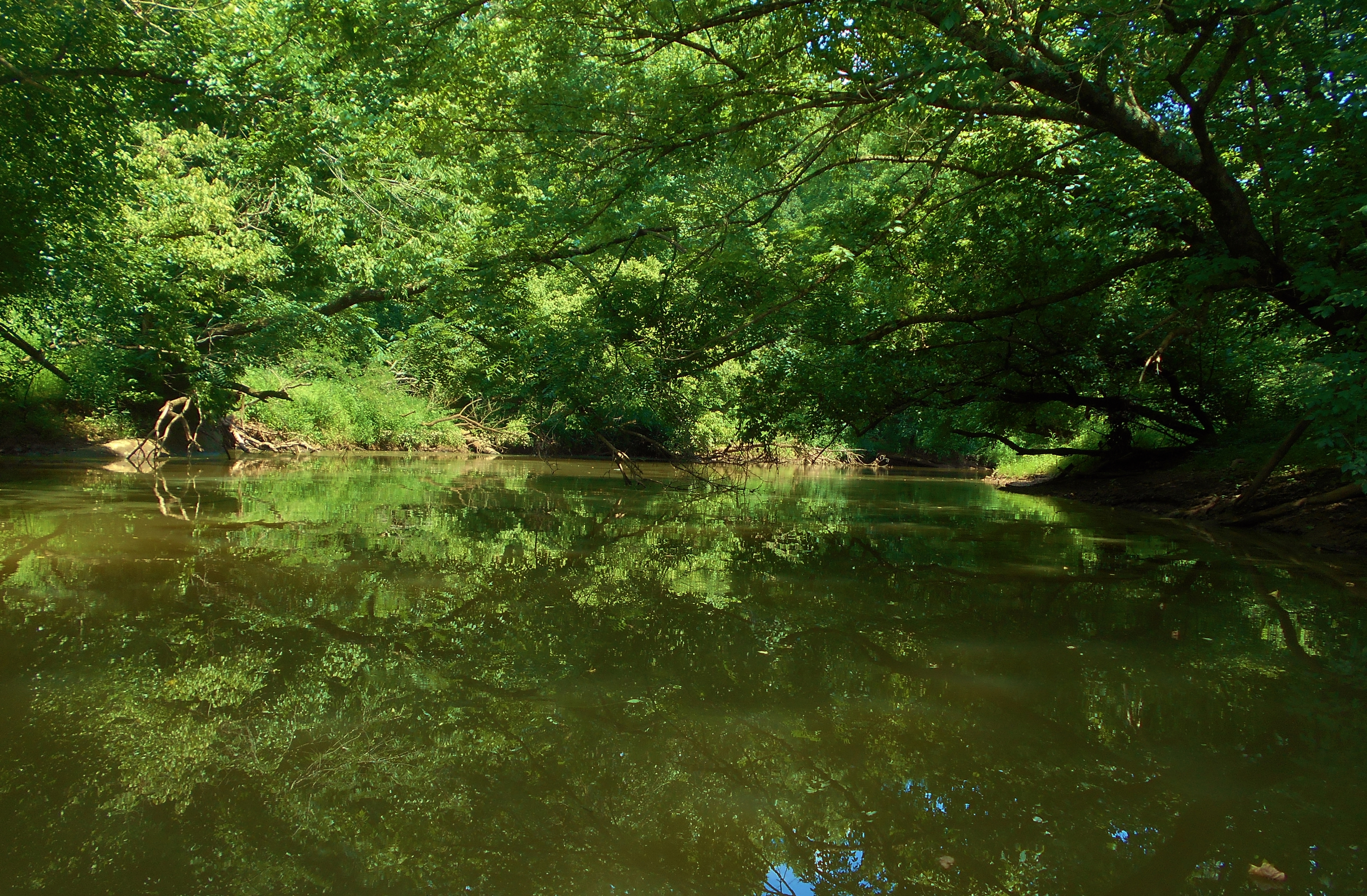
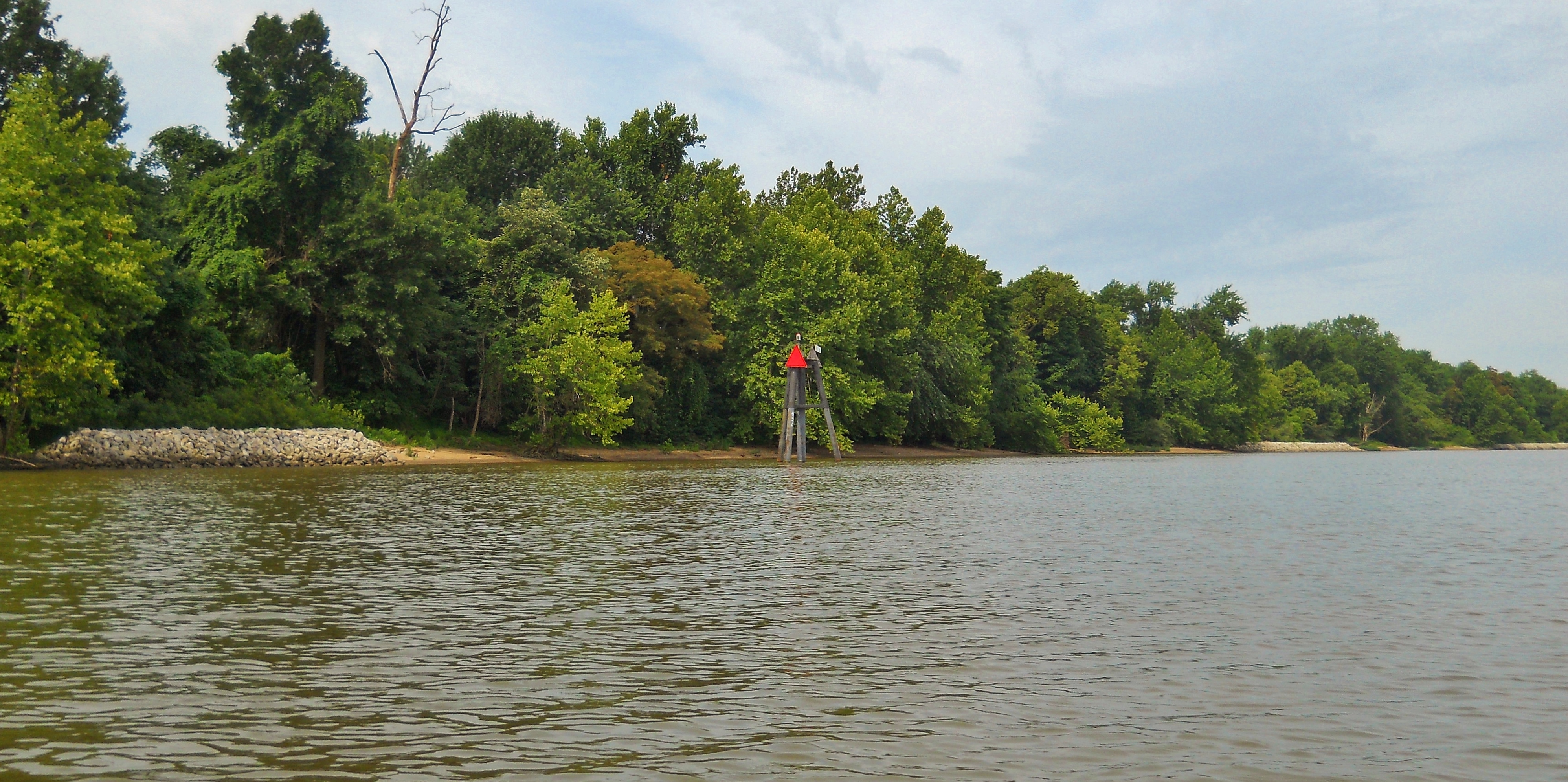
You'll notice a couple incoming streams on the Ohio side. They look like a pair of pliers on a map. Dunfee Run comes first followed by Sawyer Run. Of the two, the latter went back further with some very attractive scenes...
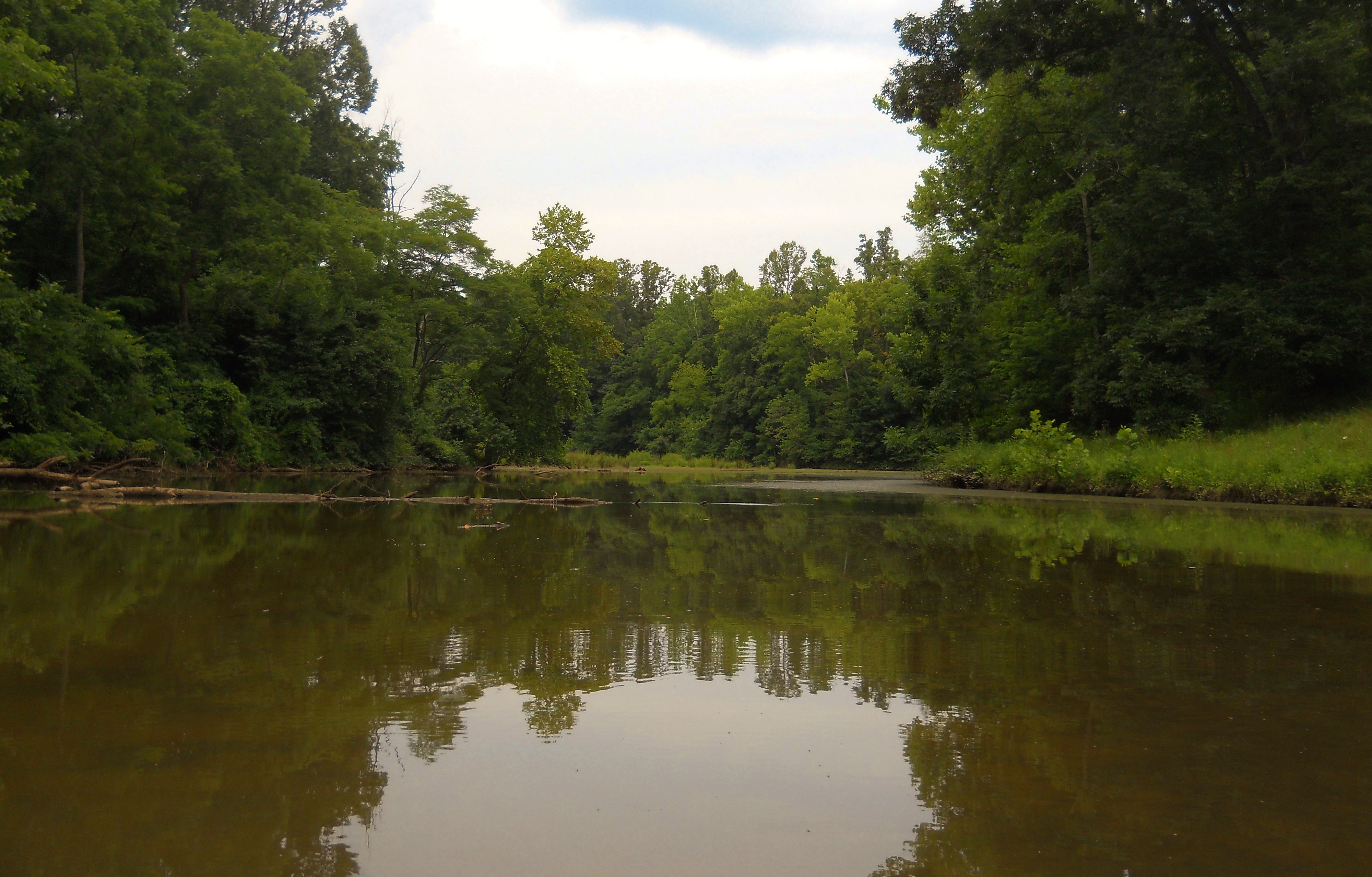
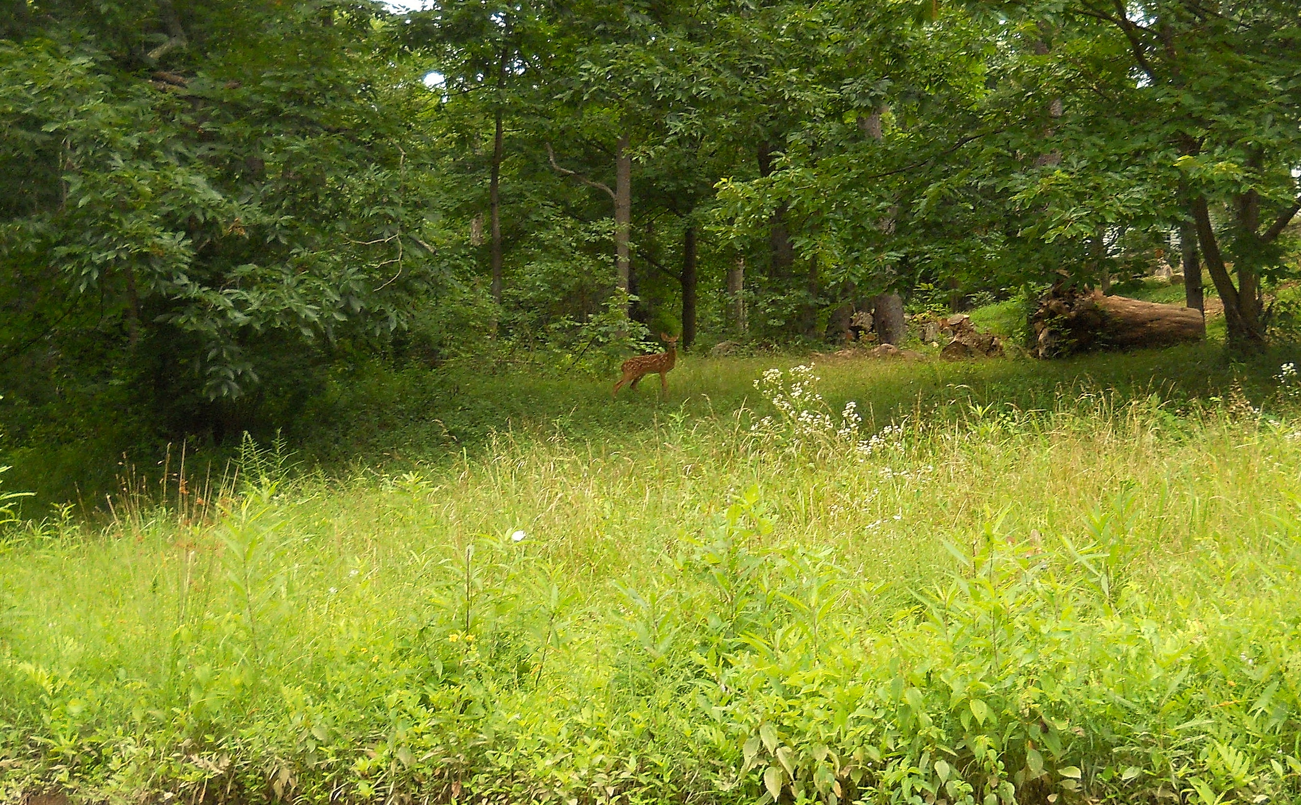
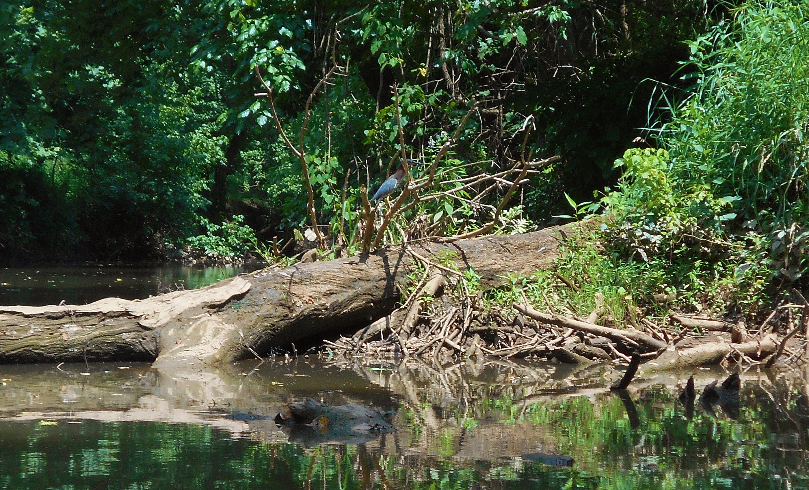
Later, about 1/2 mile up, you'll find the mouth of the Little Hocking River at mile 192. I got back 5 1/2 miles one day and I still didn't see everything. Below are some pictures, starting with what it looks like at the mouth. Check out the left side right after you enter and you'll see the remnants of an old concrete bridge support.
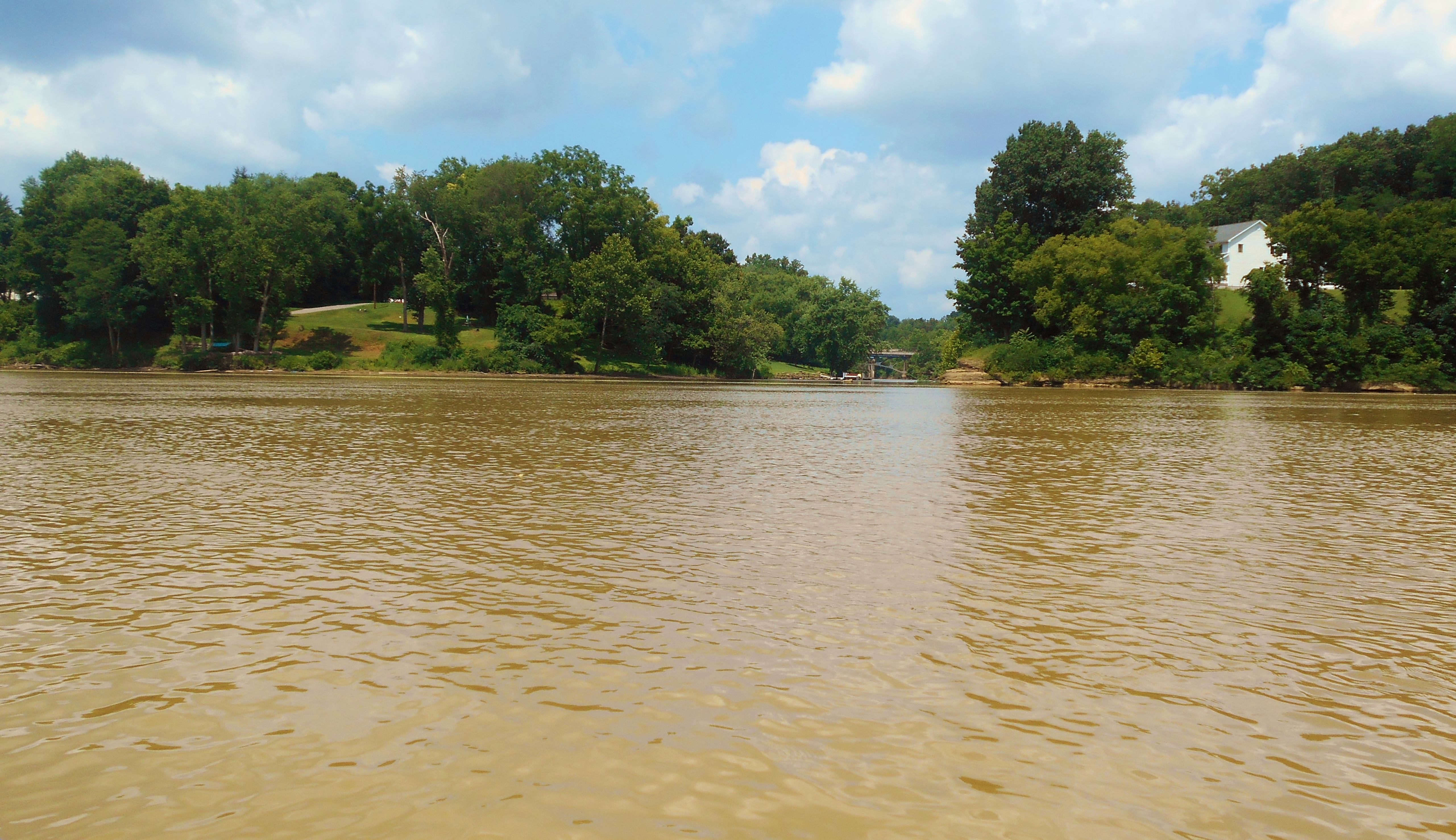
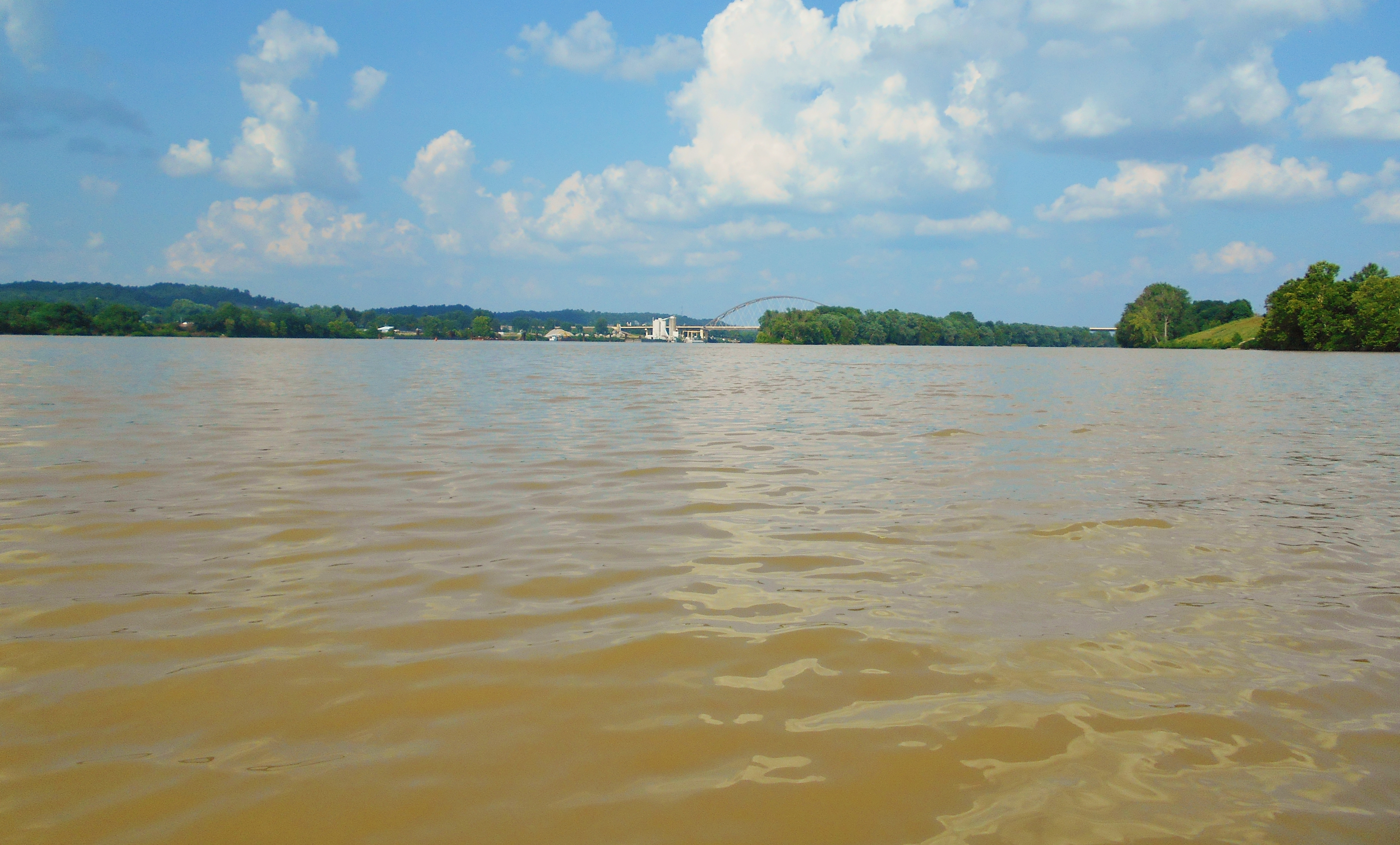
Once you emerge from the Little Hocking you'll be looking upriver at a very industrialized section of the Ohio with sizeable facilities on both sides. Sabic Plastics and a former Dupont facility now owned by Kururay America, Inc. are visible in West Virginia on the right side in the picture below. Both operate in the arena of specialty chemicals.
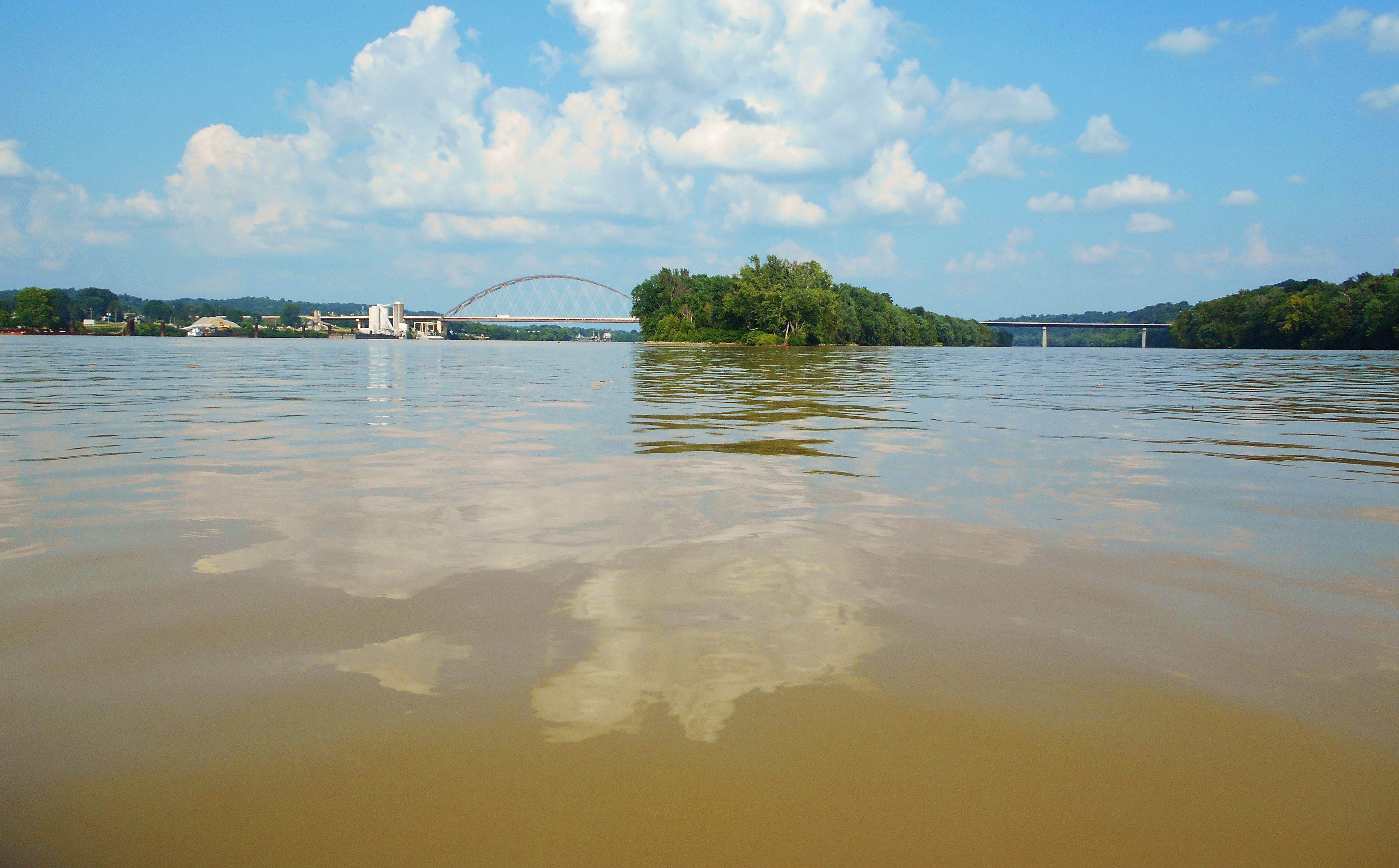
Meanwhile, the Price Inland Terminal will shortly become visible on the Ohio side just before the tip of Blennerhasset Island. There may also be a Shelly Materials location in there too as per the maps. Then, just behind and upriver, you'll see what looks like an even larger facility - Kraton Polymers. This whole area has a big feel to it. It's difficult to get a good, all encompassing photo.
At this point you've got a choice to make as to which direction you want to paddle around the island. If you paddle to the left side you'll be on a somewhat shorter route to the ramp in Belpre with some of the community's riverfront homes visible along the shore to go with a riverside park owned by Kraton. If, however, you decide to head to the right you'll be on the less travelled side. Blennerhasset is one of the larger islands I've encountered on the Ohio and it's characterized by frequent spans of rocky reinforcement. Here are some scenes from the left side looking downriver...

...and here are some scenes from the right side at the upper tip of the island. You can see downtown Parkersburg in the background in the first photo. Both show the vehicle ferry for Blennerhasset Island on the right. If you travel in this direction, just keep paddling to your right when you reach the point below and look for two ramps on the other side of the river. The one that's further downriver (or further to your left) is the concrete one that's in the first picture at the top of this journal. There's another one as well. It's lower lying. I've not used it before, yet it's still a viable alternative.
.jpg)
DIRECTIONS:
The ramp is located in Civitan Park which lies amid the heart of the Belpre, Ohio community. If you simply type "Belpre Boat Ramp" into Google Maps it'll come up and you can get directions.