First a note of caution. If you're a paddler like me you come to the water in search of peace. Yet, in sections of the river where you have population centers you're apt to encounter the aggression that goes along with them even on the water. It's thus for your own safety that I recommend you treat all as potential threats and paddle defensively in this area between Belpre to Marietta, really hugging the shorelines whenever you can.
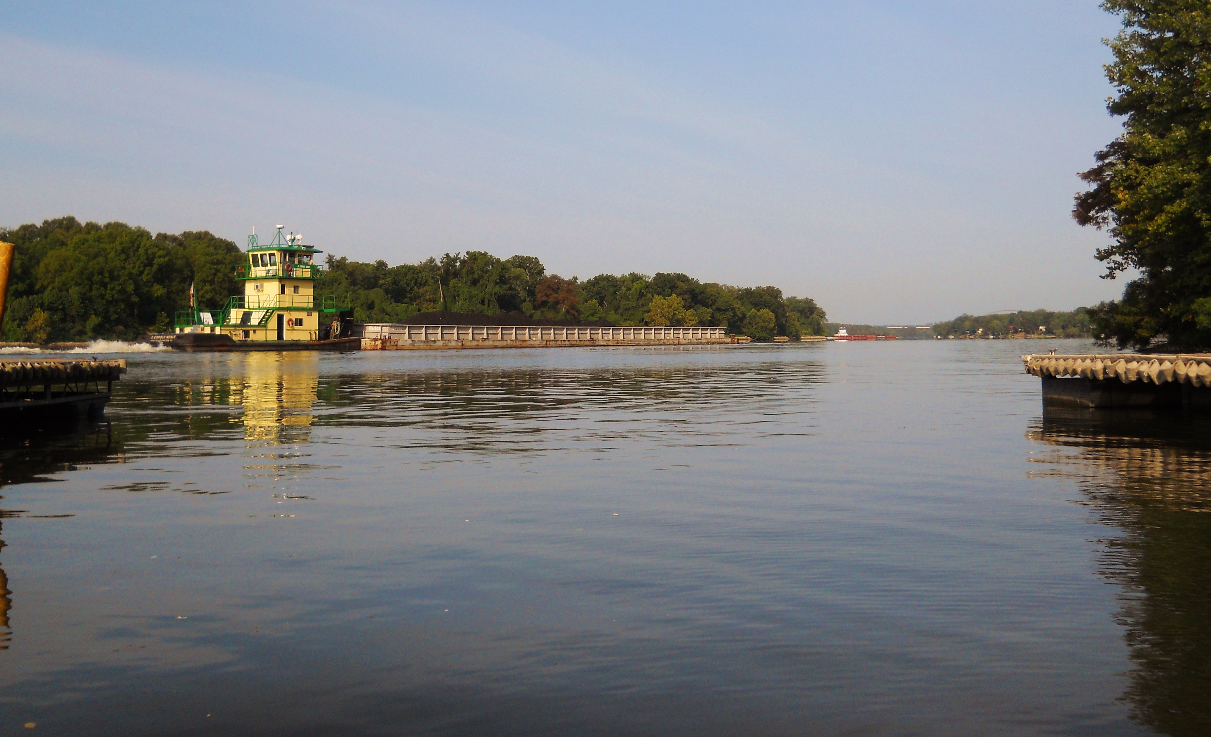
Today I used the ramp in Belpre, Ohio which is located in the midst of a park they call Civitan. It's behind and down the hill from the Hardees Restaurant in town and it's almost directly across from the mansion on Blennerhasset Island. In fact, if you simply type "Belpre Boat Ramp" into Google Maps it'll come up and you can get directions. This is a nice, safe ramp with restroom facilities too. What's more, it's highly likely that you'll see pushboats operating here in addition to a couple ferry boats too, one of which is a sternwheeler that runs to the island from nearby Parkersburg, West Virginia.
Blennerhasset Island (also once known as Backus Island) has a truly interesting history. It takes its name from a tragedy plagued gentleman named Harmon Blennerhasset. Born to great wealth in Ireland, he wound up on the losing side of a battle for that island's freedom from British rule. For that reason and because he fell in love with and married his niece, Margaret, he was essentially a persona non grata there. He therefore moved to the U.S. and while travelling down the Ohio River he fell in love with this island and built a beautiful mansion here. Unfortunately, Blennerhasset wound up on the wrong side of politics here in America, too. He sided with Aaron Burr in what was viewed as a treasonous venture to establish a Western empire separate from the states. As a result he was pursued by the military, his mansion was destroyed, his wealth was lost, and both he and his wife died in poverty. Tragic indeed!
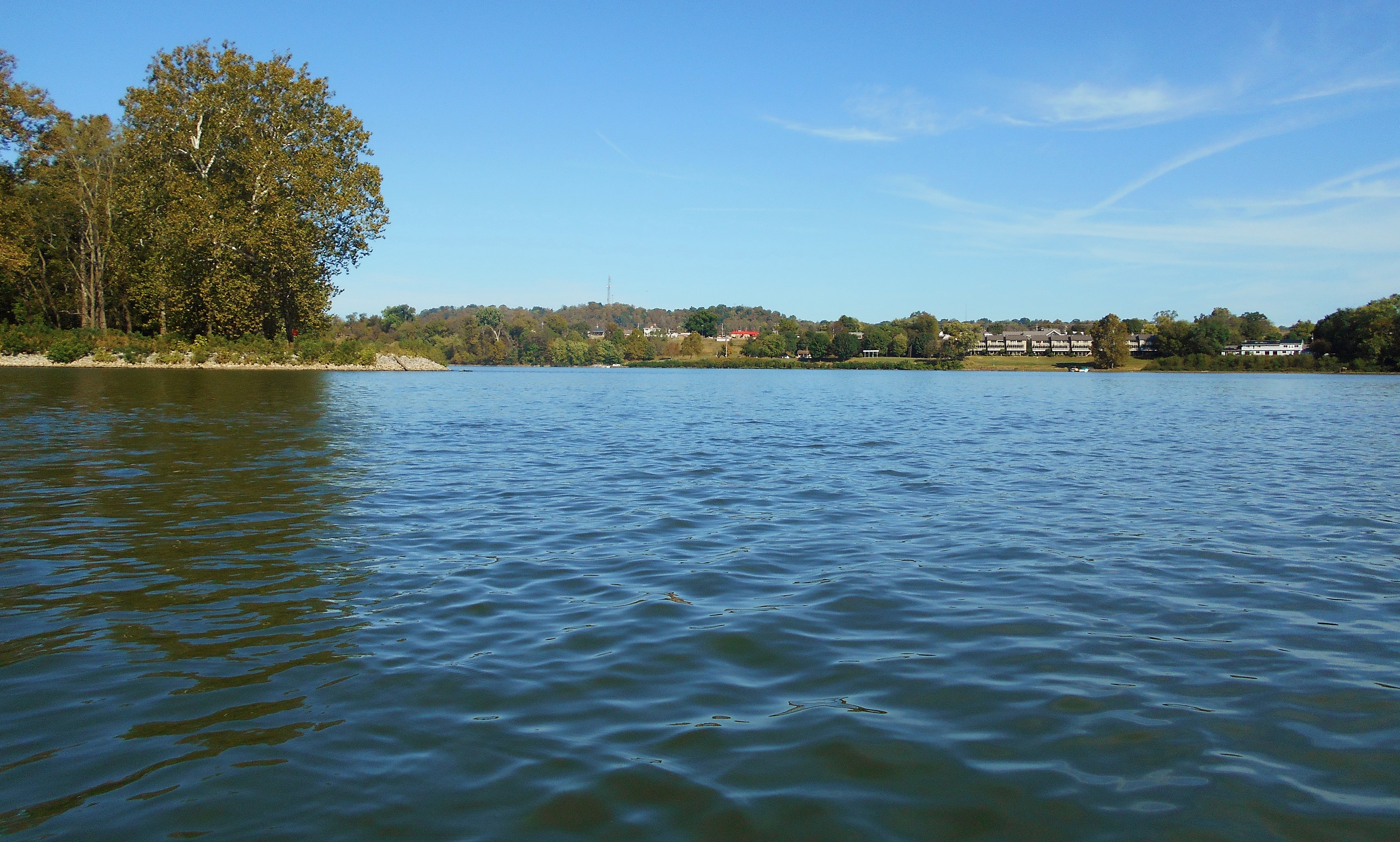
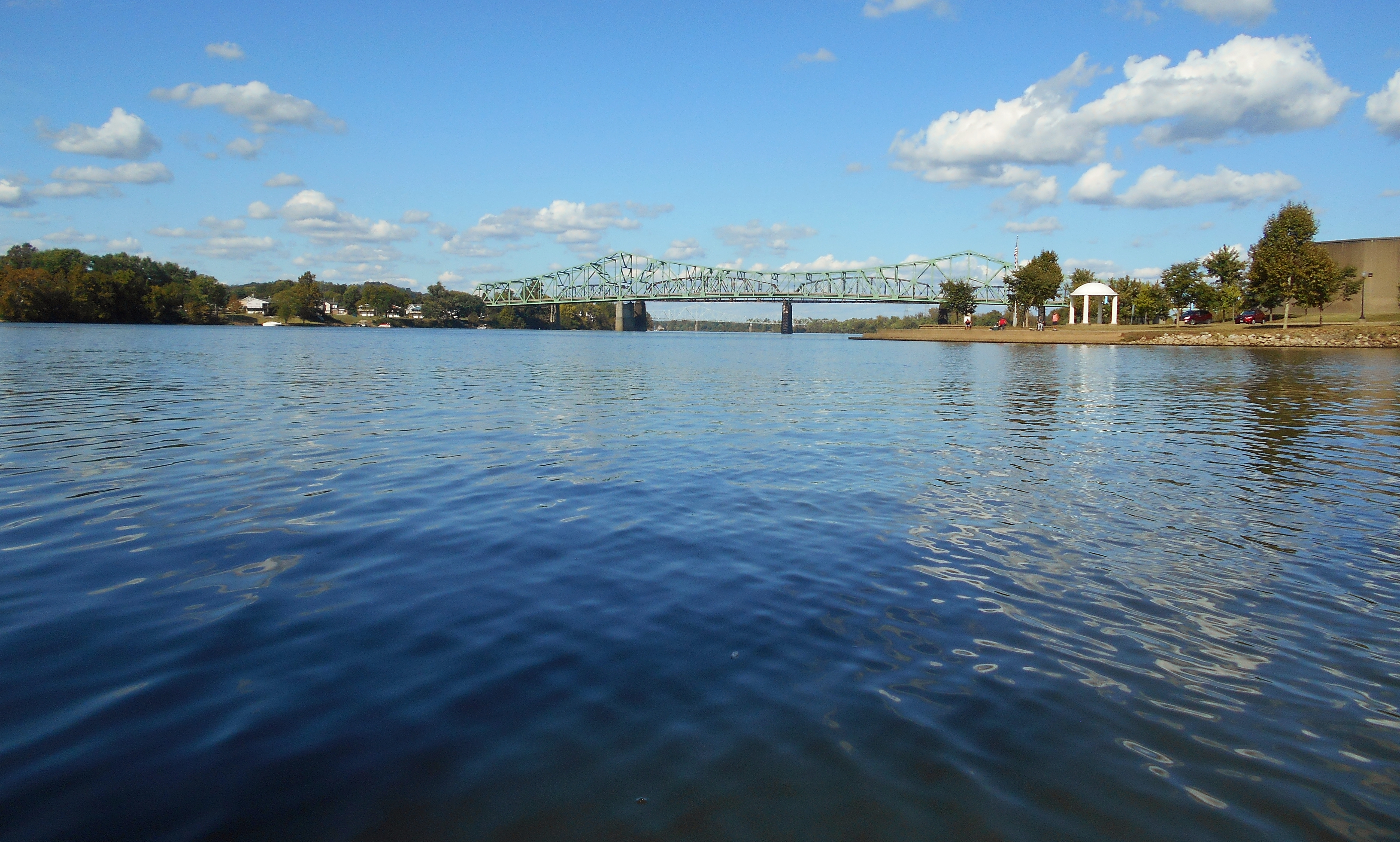
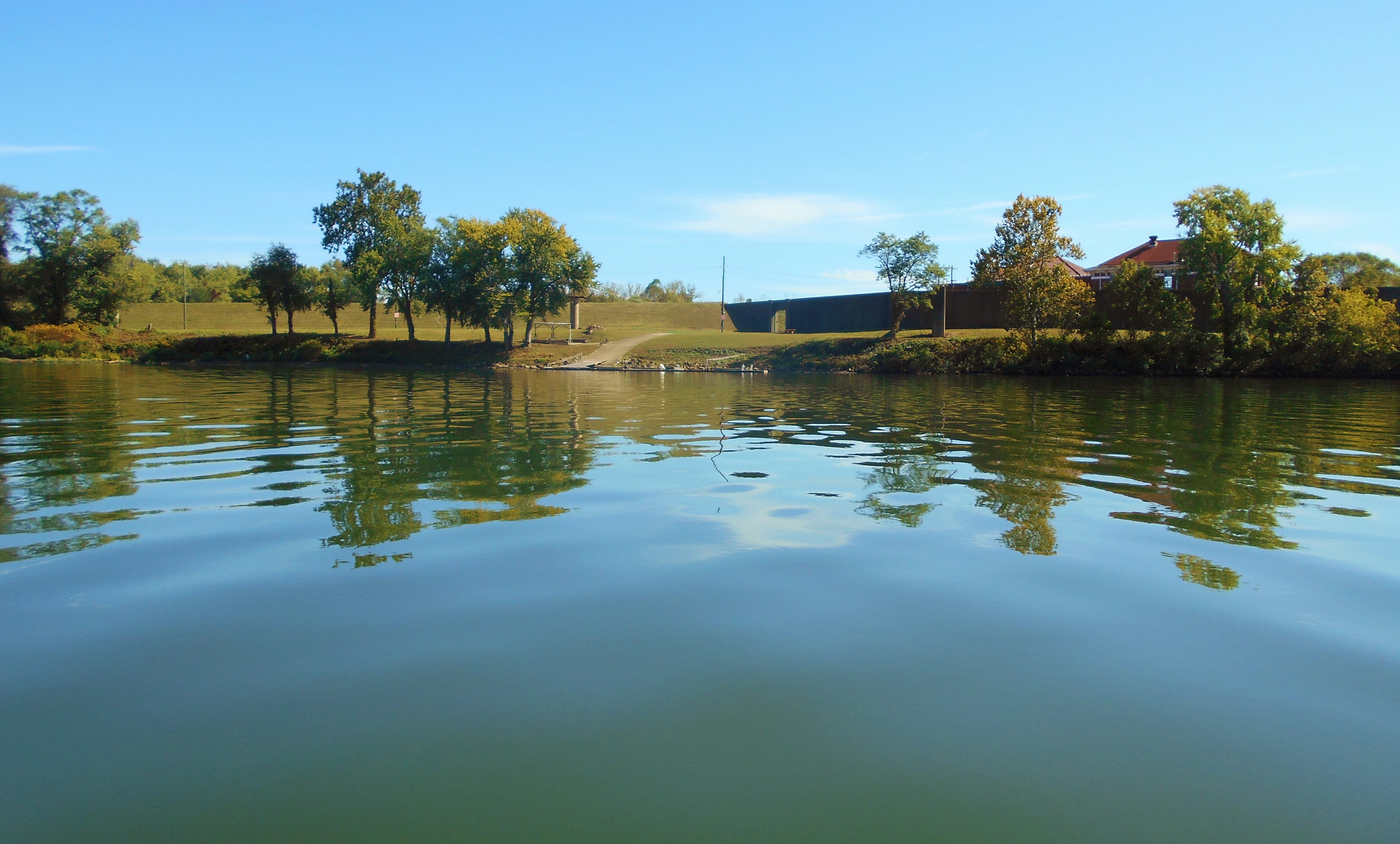
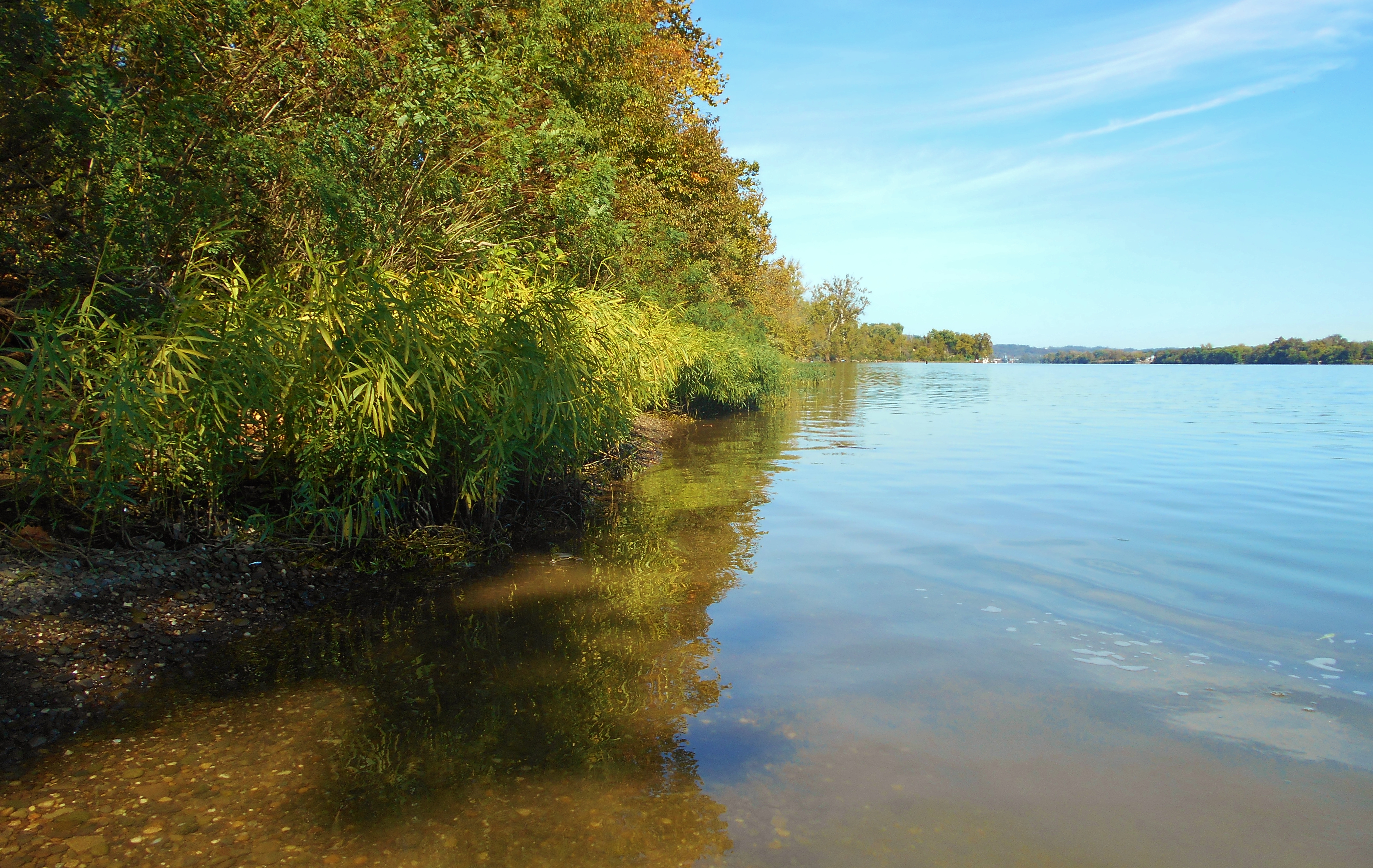
Blennerhasset Island is on your right as you begin a paddle upstream. You can't see much of the mansion from the water but you can catch glimpses. Below is an overall view of the area from the tip of the island looking back downriver at Belpre and the ramp. I've been asked why I load my pictures so large. I do this so as to put the reader directly in my place. You are seeing things exactly as I saw them and I'm hoping that this might be helpful, both to casual readers as well as to those who are physically unable to make such a trip. If I were confined I'd want to be able to envision myself within a different, perhaps more serene environment.
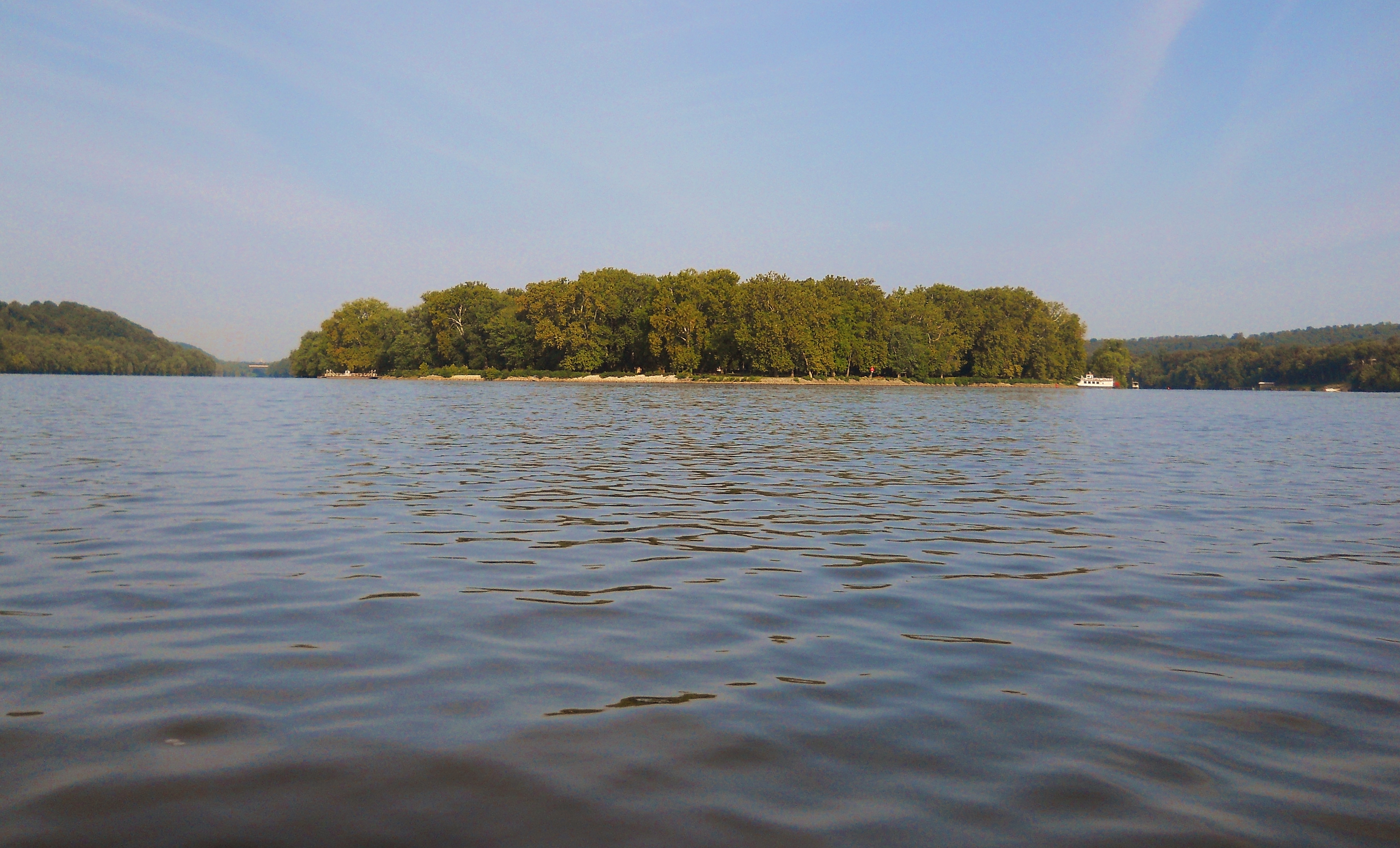
In this second photo, also taken looking downriver, you can see both ferries. A vehicle ferry is on the left side while the passenger ferry is on the right...
Meanwhile, Belpre will be on your left side as you continue paddling upriver and you might do a "double take" on one of the houses. It's got an interesting sculpture near the water. This is actually a Shriner's Club. Also on this side you'll find a little amphitheater and another public ramp, the latter of which lies along a very low section of shoreline where you're likely to encounter a ton of ducks and geese. In fact, this whole area was teeming with both today.
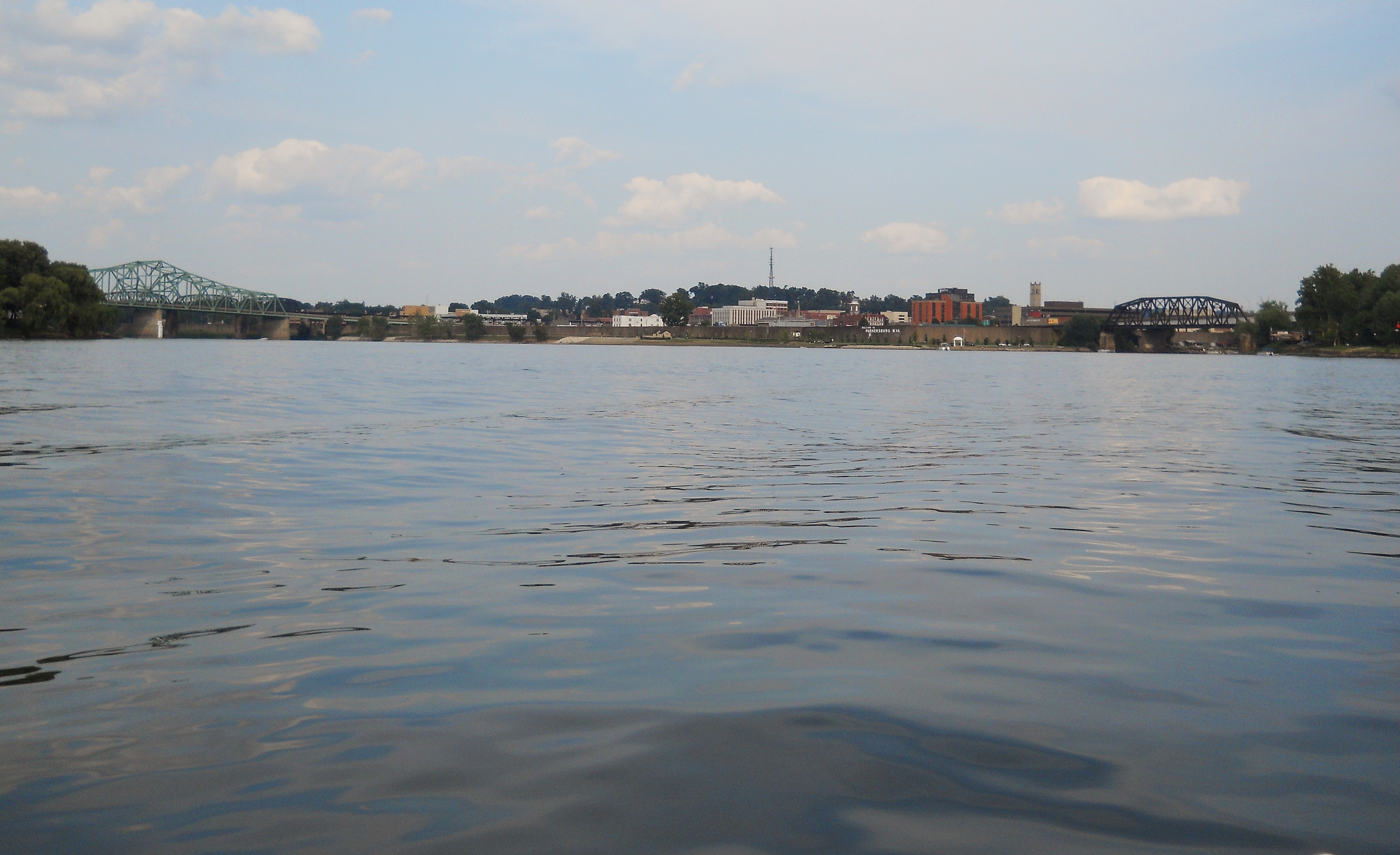
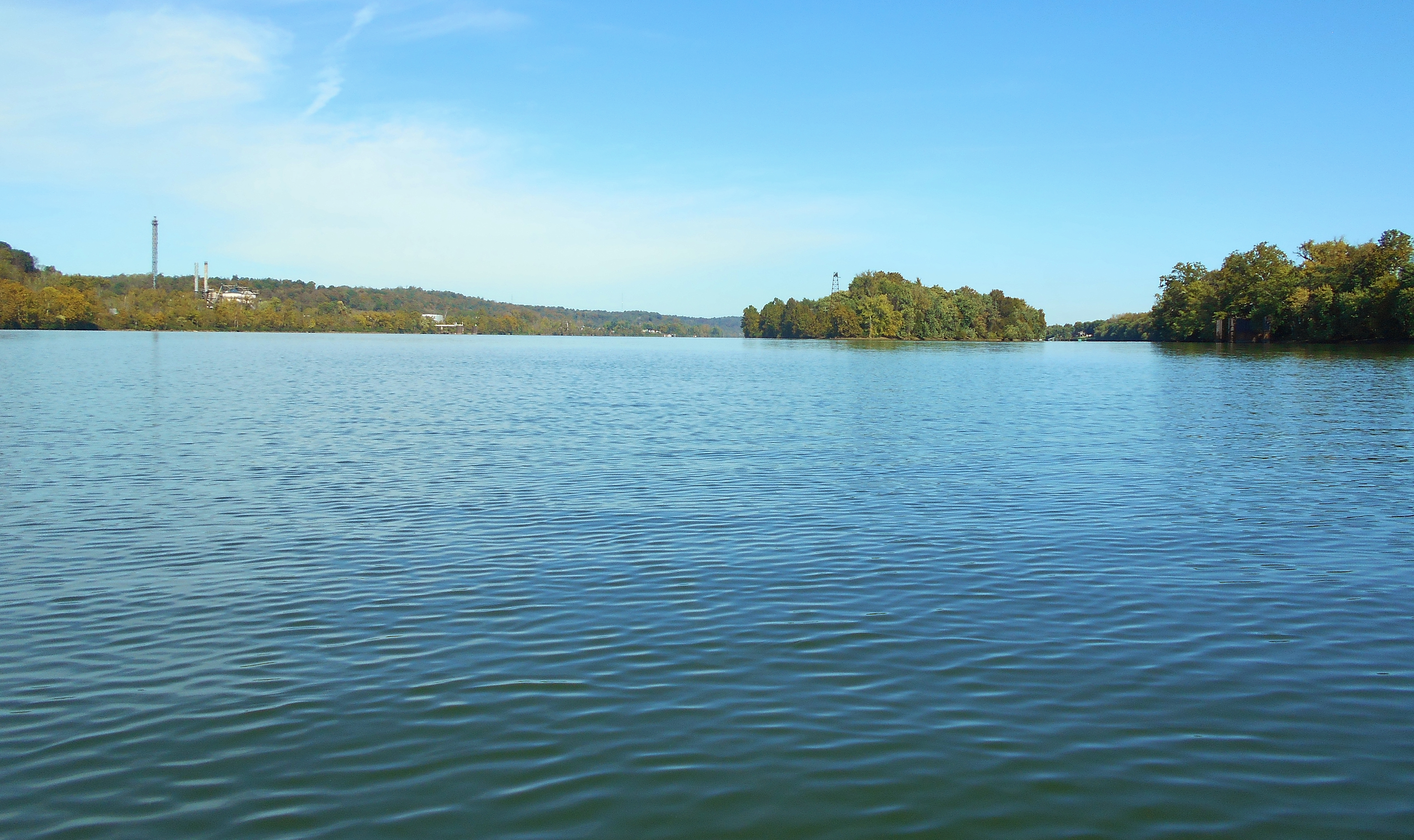
Downtown Parkersburg will be visible soon if it's not already, as will the mouth of the Little Kanawha River. I took the first picture in the morning when it was somewhat dark, while the second was taken in the afternoon. I thought it might be nice to see it from a couple different perspectives. As it lies, Parkersburg is very similar to Point Pleasant, West Virginia. The Kanawha River comes in alongside Point Pleasant just as the Little Kanawha comes in here.
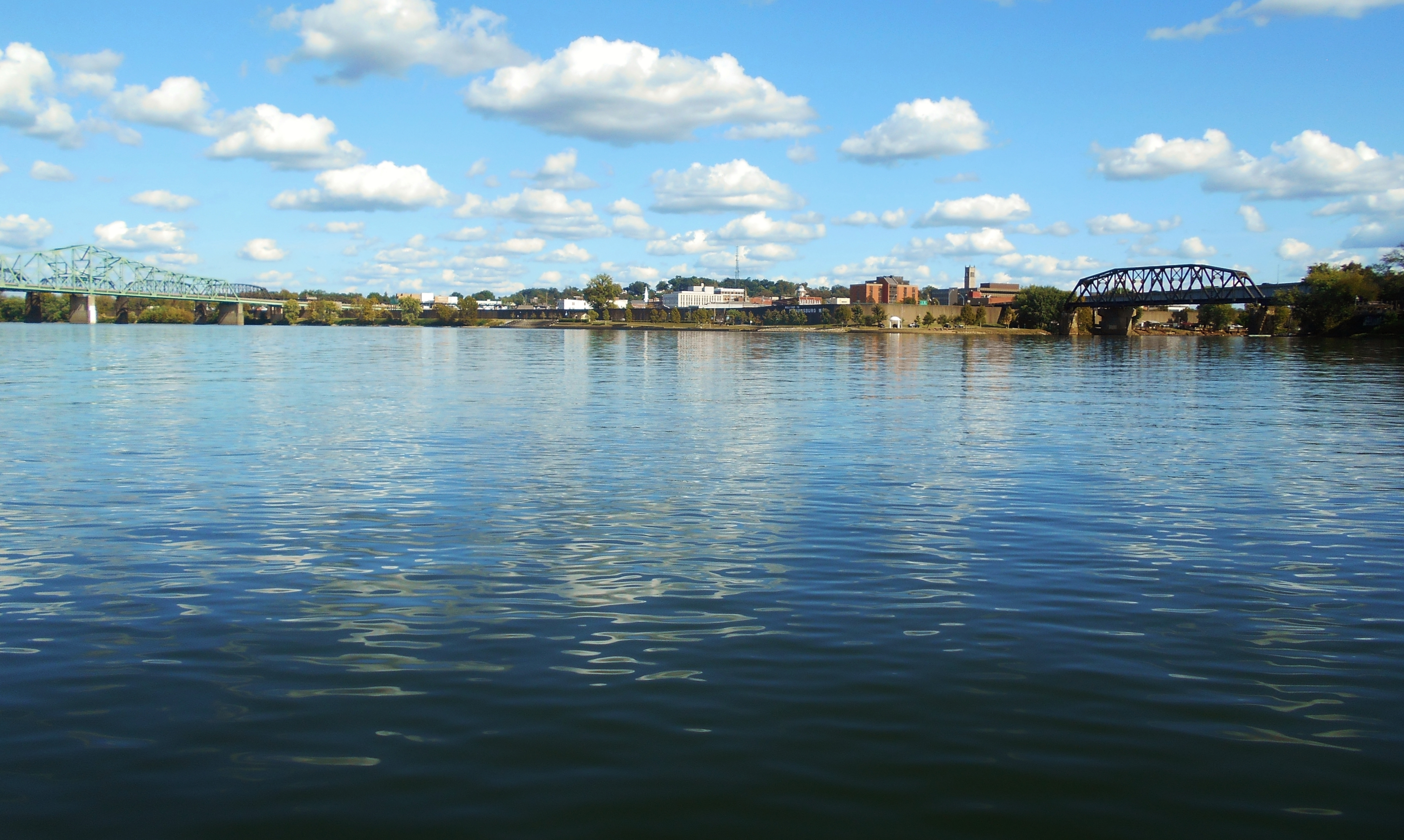
In the next photo, which I took from the mouth of the Little Kanawha, you can see both Parkersburg bridges upriver in the distance. The first one is actually a blend of two if you look closely - one for a roadway (the Parkersburg - Belpre Highway Bridge) and the other for a railway (the old B & O Railroad Bridge). The latter now handles CSX trains. The bridge that you may just be able to see further upriver is the Parkersburg Memorial Toll Bridge.
I hope, by the way, that the people didn't mind their pictures taken but it was kind of unavoidable. It looks like they were fishing from Parkersburg's Point Park which is a great resource for the city, complete with walking/biking paths and a fairly large amphitheater. This is also where the aforementioned sternwheel picks up passengers for Blennerhasset Island. Here too (and behind me as I was taking the photo) is a bar/restaurant called Kokomo's. It looks like you could beach a boat and walk up. That Beach Boys song always goes through my head when I paddle here. :)
Let's talk about the Little Kanawha River a little. I explored some of it today but I plan to do more in separate journals because, judging from the navigation charts, it looks like it goes back pretty far. Here's a link for an outstanding University of West Virginia website that has some incredible old photo's of this stream! Today I went as far as the first split where Neal Run come's in under a bridge. Interestingly, Neal is also the name of the Ohio River island which lies just upriver from Parkersburg. Neal Run went back a little way, but it quickly became quite shallow - lots of different kinds of birds back here though.
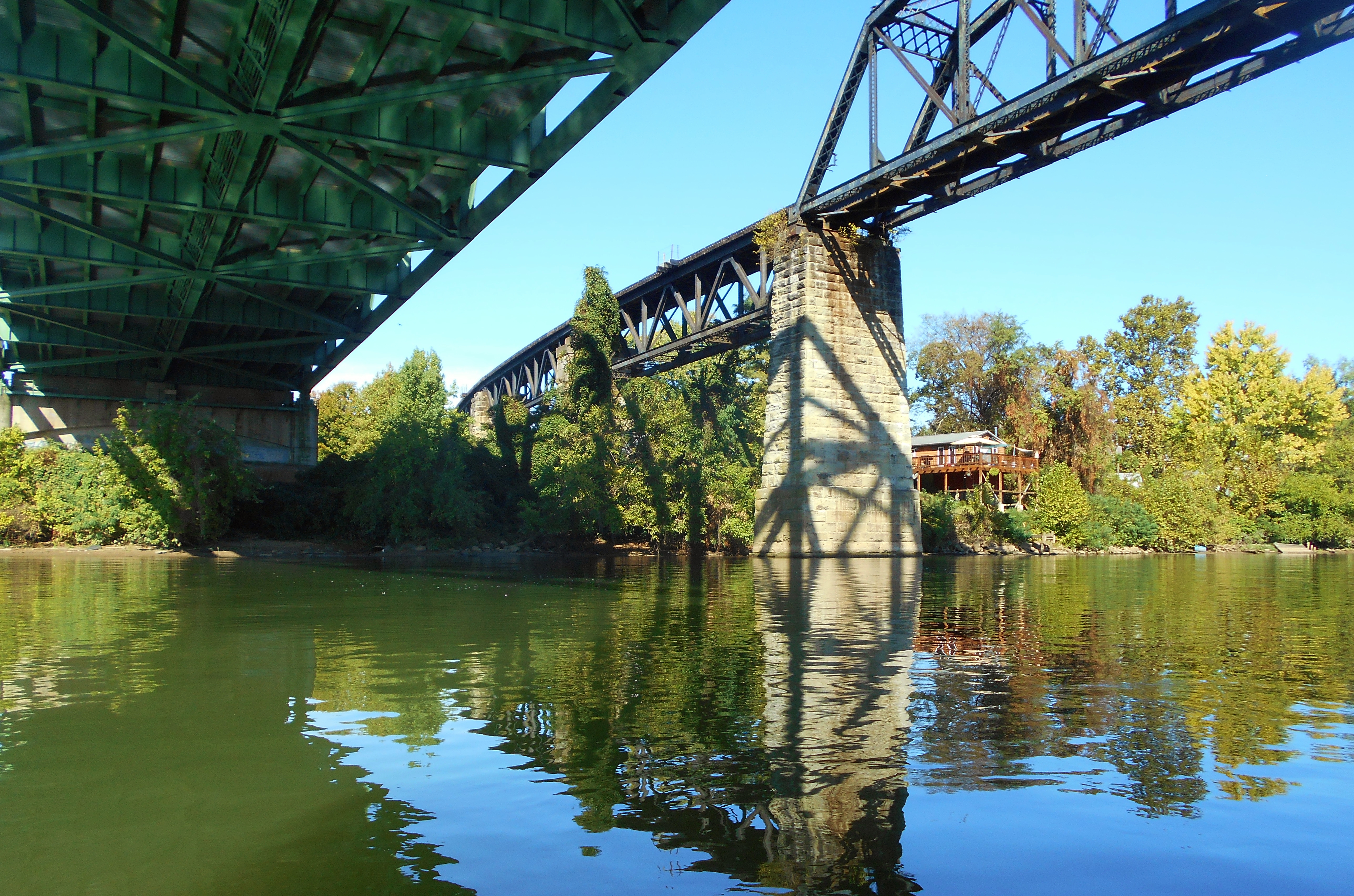
Back at the Ohio and across the river from Parkersburg you'll find another boat ramp on the Ohio side just before the first bridge. This appears to belong to Dave's Marine, a boat sales and service business that can be found on Facebook. Meanwhile, the shot below was taken underneath the bridges to show a little detail on how they were constructed.
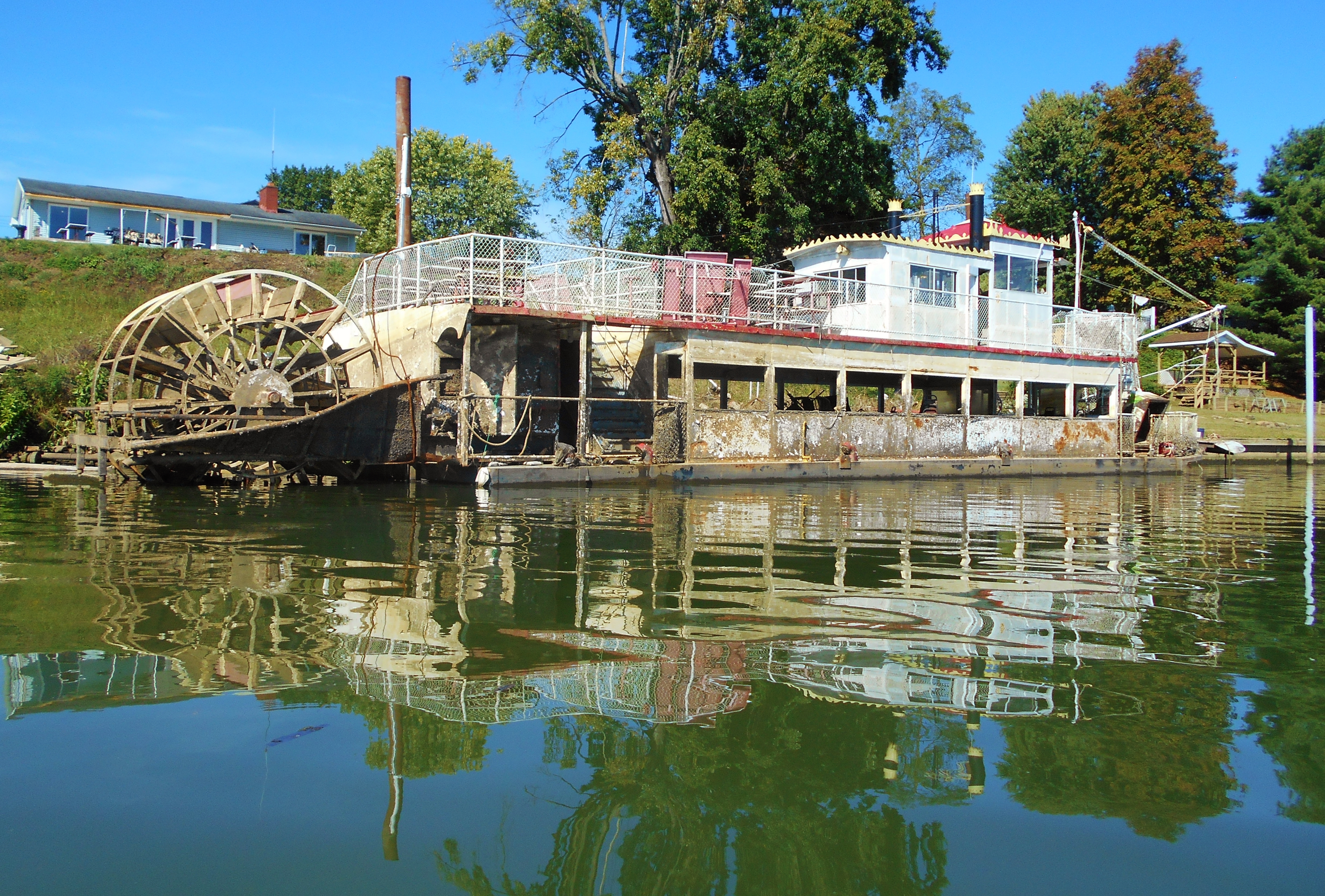
By now you may have spotted a sternwheel boat just ahead. The charts indicate the spot as being associated with Ruble's Sternwheelers. There's a great article here although I'm not sure how long it'll be online. Apparently Ruble's used to run the Blennerhasset Island route, delivering passengers to and from before another business got the contract. Later, in 2018, an ice storm sank the boat and today it still showed the marks of having suffered that traumatic fate.
Just further down and before the toll bridge you'll spot quite a few boats docked alongside a painted yellow on powder blue "BYC" sign. This is the Blennerhasset Yacht Club, established in 1947. They, too, can be found on Facebook.
Once you've passed the last bridge look on your right side in West Virginia and you'll see an interesting old structure along with a boat ramp and a dock where the break wall comes to an end. This looks like the location of another one of the old lock and dams, yet I don't think it is. Judging from the charts it could be an inactive water treatment plant, but what a great location for a park it would be!
You'll now see an island ahead along with some concrete silo-like structures on your right side. You wouldn't think that these would be hospitable to any human being for any length of time, yet each had what looked like an A/C unit! Interestingly, there are a lot of inactive business and municipal structures in this mile as per the navigation charts. Martin Marietta, Elk Refining Company, Kanawha Traction and Electric, Parkersburg Steel and some water intakes looked to be among them. One business was still active, however. It's visible on the left side of the island in the picture below. The charts indicate this as being Degussa Carbons, yet Degussa was bought in 2015. The facility is now operated under Orion Engineered Carbons.
What is Neal Island like? It's about a mile long and pretty hospitable to getting out if you navigate to the left side and "park" on the right bank. There are also some more of those stone silo's I mentioned near the downside tip of the island along with some other equipment which may or may not still be in use - I couldn't really tell. What I did see was that a multitude of ducks had made this island home. There was also one spot on the right side of the island where I was able to get out.
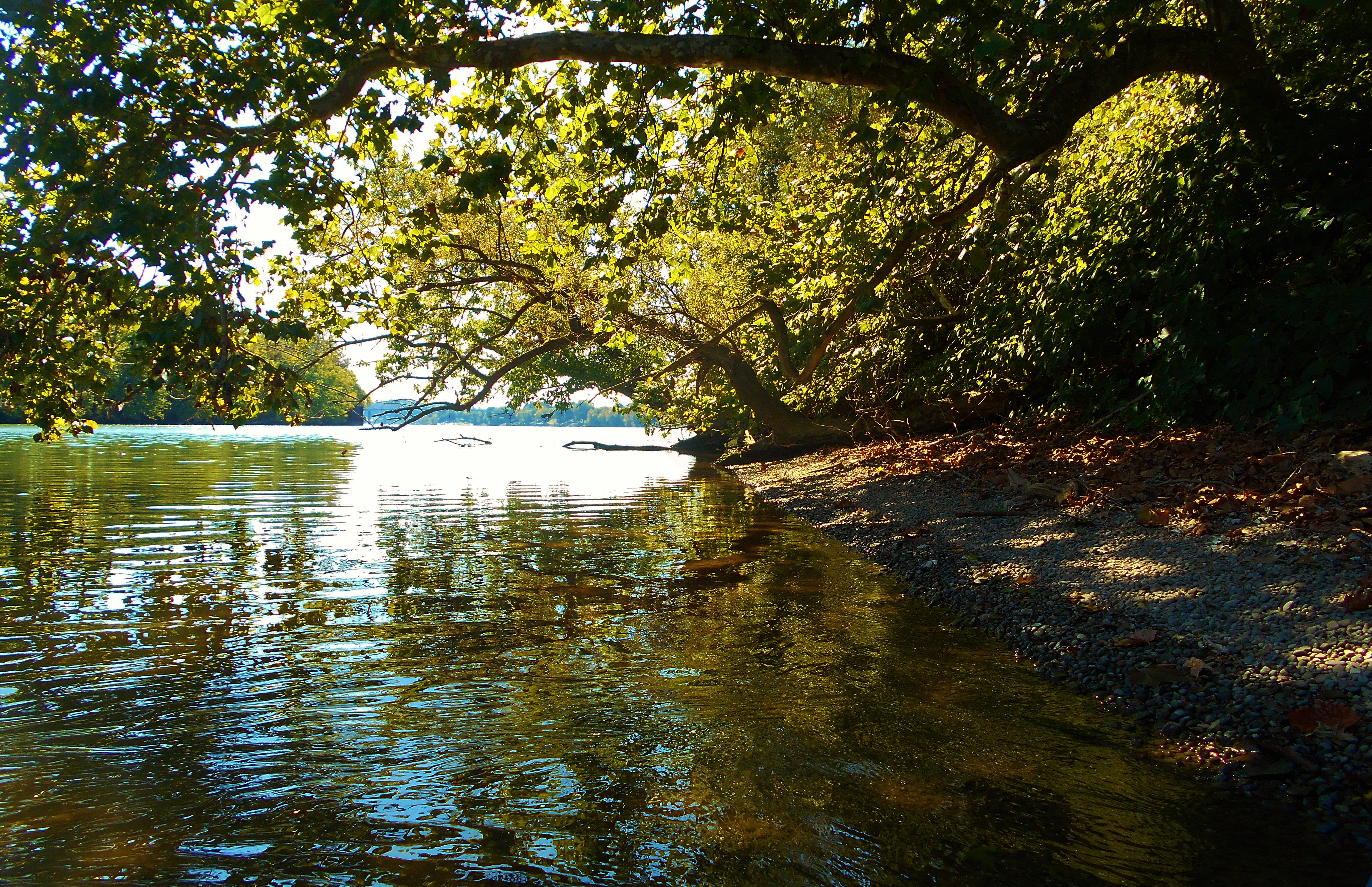
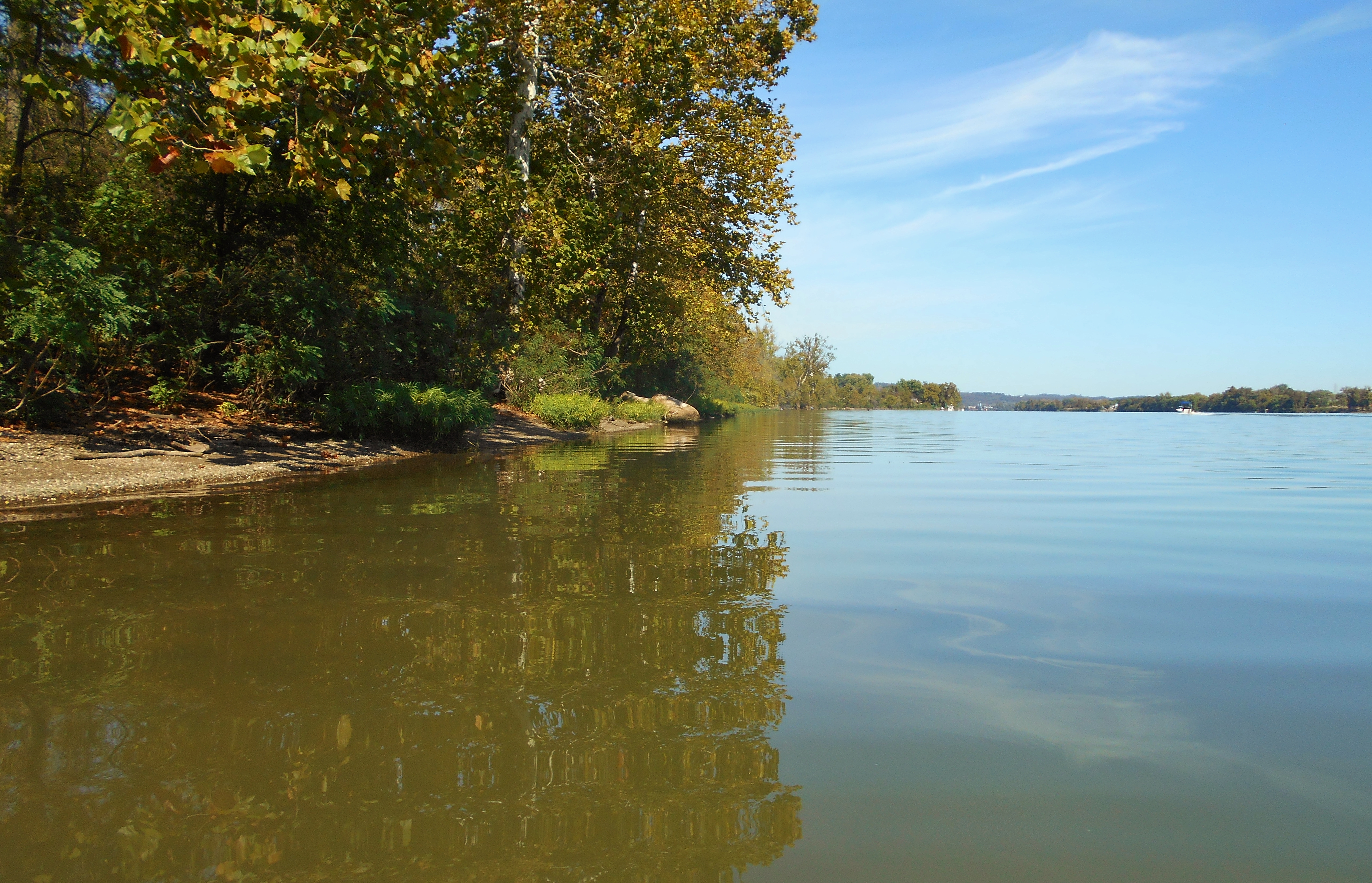
What about the banks of the Ohio River itself in here? Well, the Ohio side is quite nice after passing by the business and there were some more beach like areas with some interesting plant life. Then, at the upriver tip of the island you'll find a business that looks like it caters to boaters - The Station. They're on Facebook. Meanwhile, on the West Virginia side there's a very dense section of shopping centers as well as a shopping mall. These are all receded from the river behind a line of homes along the shore, but if you needed supplies I did see a Walmart in view. This is the point at which I returned to the ramp.
DIRECTIONS:
The ramp is located in Civitan Park which lies amid the heart of the Belpre, Ohio community. If you simply type "Belpre Boat Ramp" into Google Maps it'll come up and you can get directions.