Please be advised to be very careful in this section of the river if you're a paddler. I've encountered some pretty aggressive boaters in here. I'd paddle well to the shoreline whenever possible while being aware that you may still have boaters getting a little too close for comfort. As far as put-in's there isn't a public one close to Neal Island, so today I put in at the furthest upriver point across the river from Marietta, Ohio and then paddled down to the tip of Neal Island and back. Here's a nice page on the history of Marietta. It's a great town to visit!
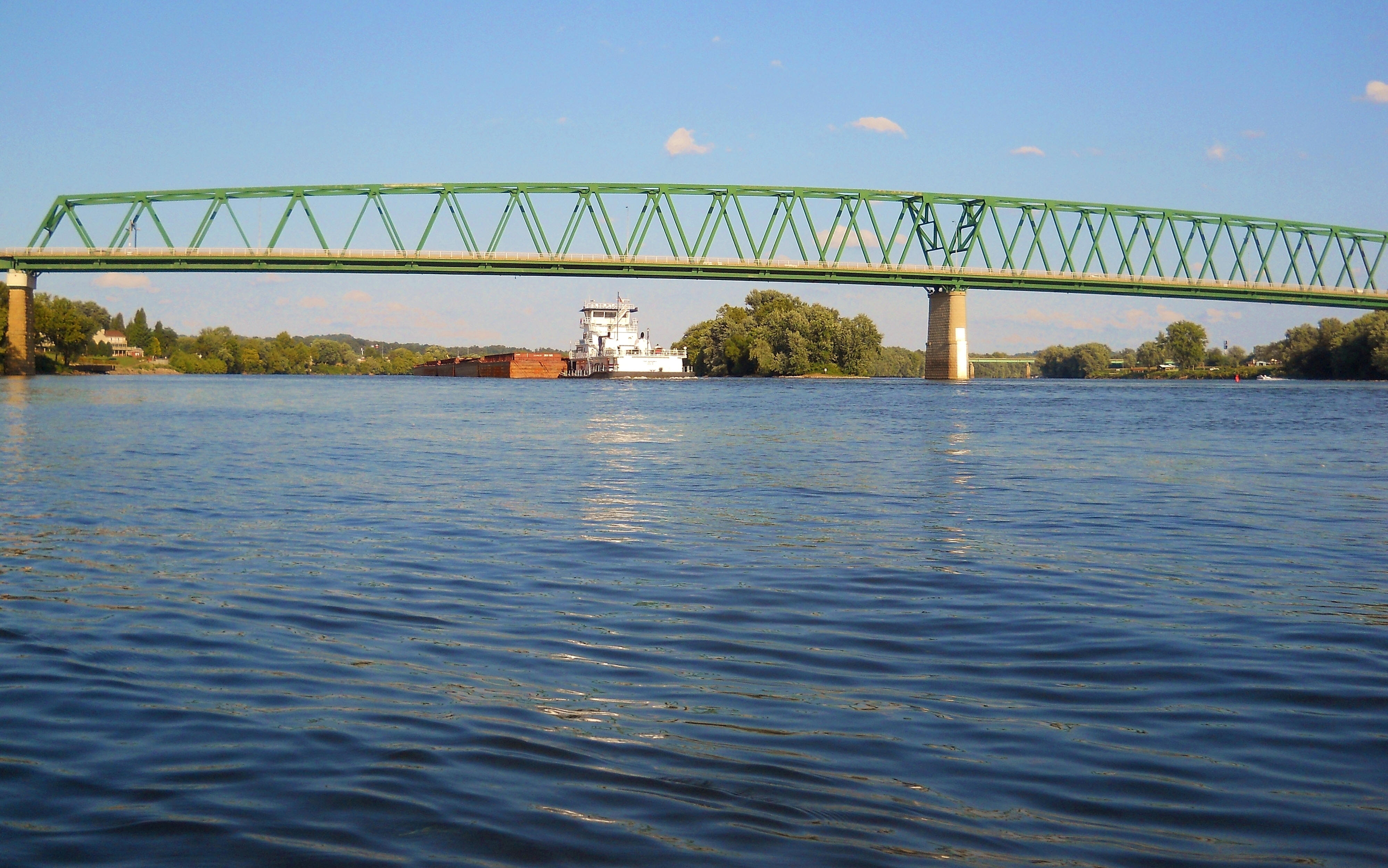
Meanwhile, you'll find the ramp in Williamstown, West Virginia to be a nicely maintained one with restroom facilities and you can easily find it on Google Maps. The views here are really nice! Not only do you have downtown Marietta right across from you, you've also got the mouth of the Muskingham River. You may even encounter the Valley Gem Sternwheel Boat which gives tours of the river (and you can see that boat on the far left in the second photo below).
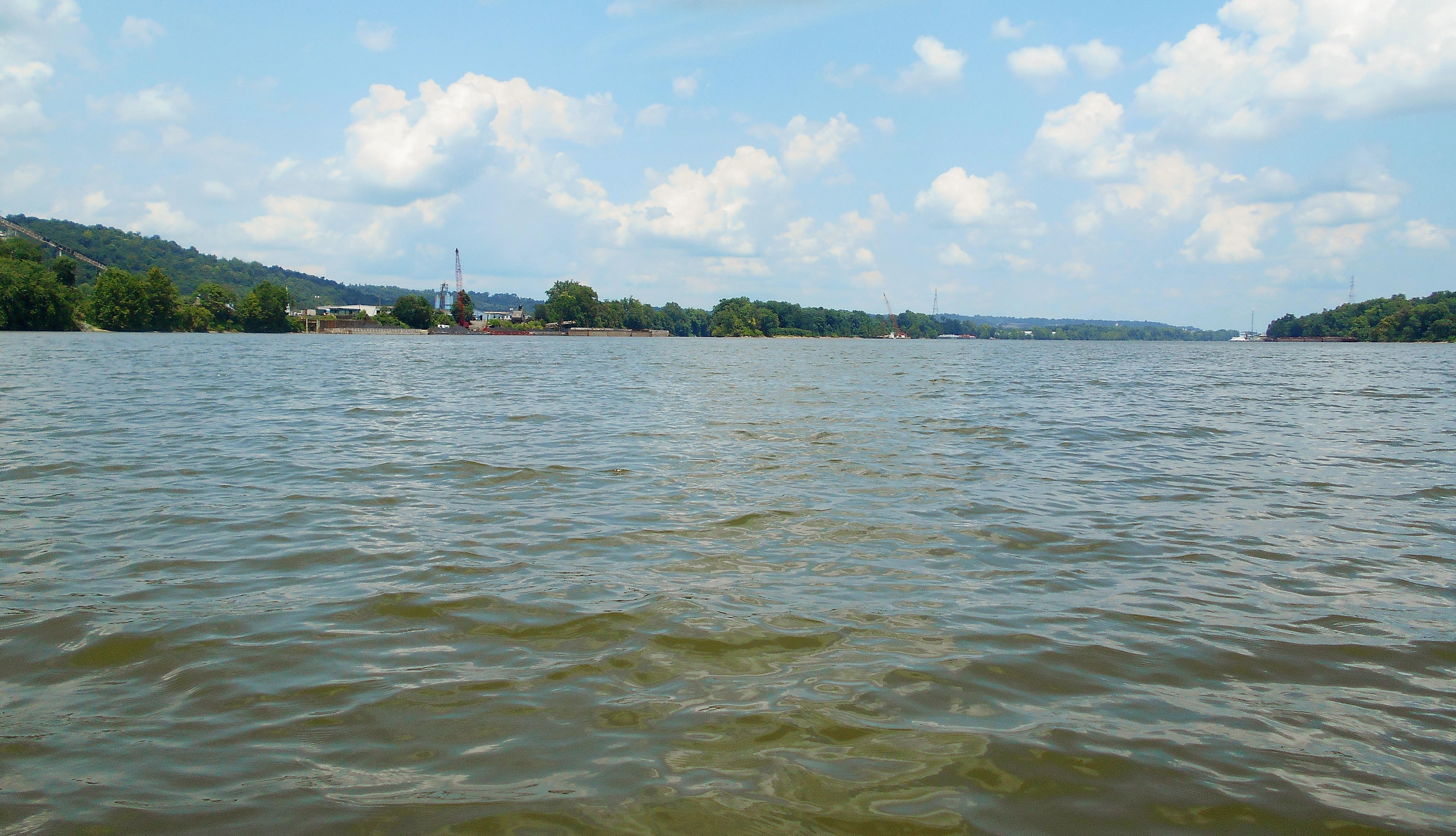
I'll start as I usually do, at the furthest downriver point. Today that was the upriver tip of Neal Island at mile 181 (an island I described in more detail in a previous journal). If you start upriver from here you'll have Riverview, West Virginia followed by the community of Vienna on your right, while on your left you'll have a well travelled Ohio Route 7. There's an interesting bar/restaurant on the Ohio side as well. It's called The Station and it looks like you can dock your boat and go up. They can be found on Facebook.
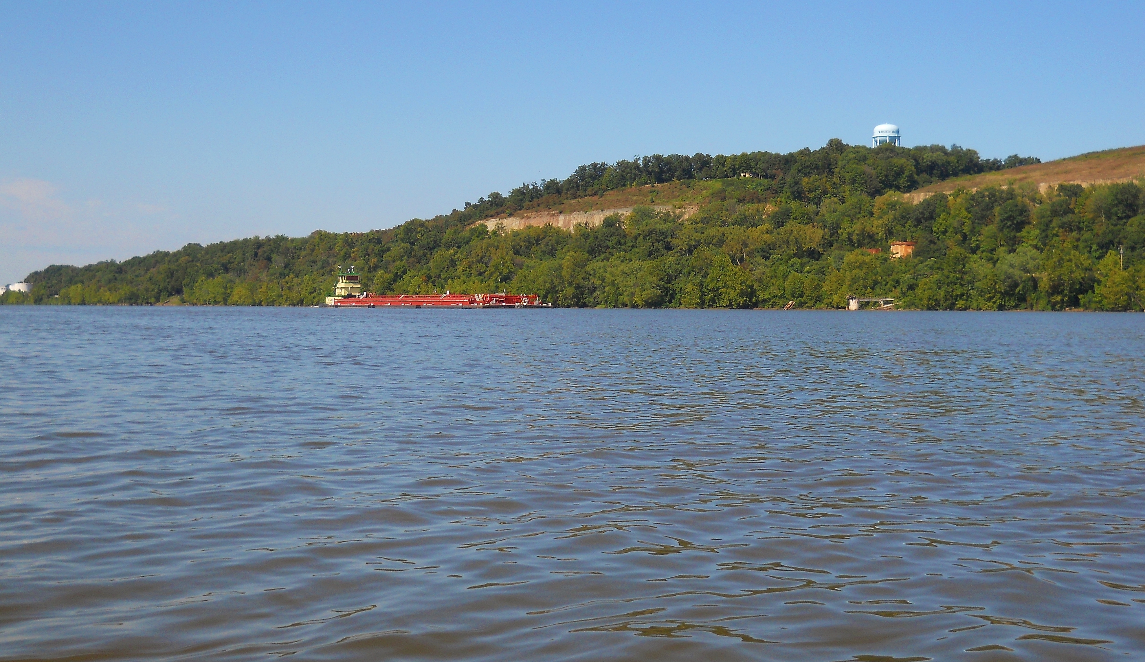
At this point you're in the midst of a pretty straight section of the river. In fact, from the Ohio side of Neal Island you can look downriver and see all the way to Parkersburg at mile 185, while looking upriver you can see all the way to Asphalt Materials at mile 179. Incidentally, there was once an old lock and dam in this area (#18) on the Ohio side at mile 180. Yet, unlike most of those old structures, this one appears to have been completely removed. I assume this was necessary in order to put Route 7 in, but if you're travelling that route I can tell you that there is a road that leads down to it. It's part of a little wildlife management area.
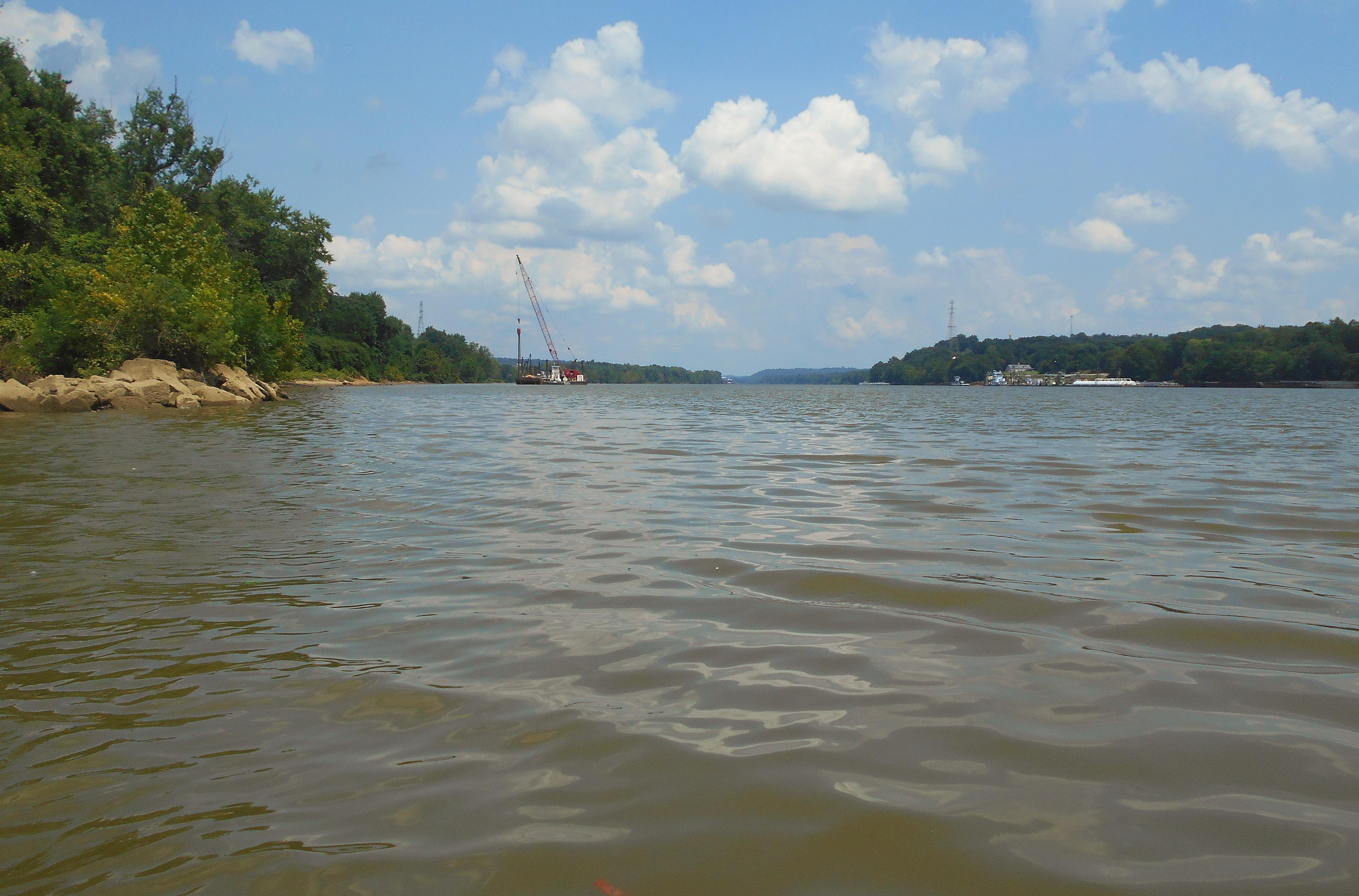
Anyway, Marietta Industrial Enterprises lies at the tip of another island at mile 179 - Half Mile Island - and you can see the business on the left in the photo below. There's typically a lot of activity here. Half Mile is well on the Ohio side, by the way, leaving the vast majority of water on your right.
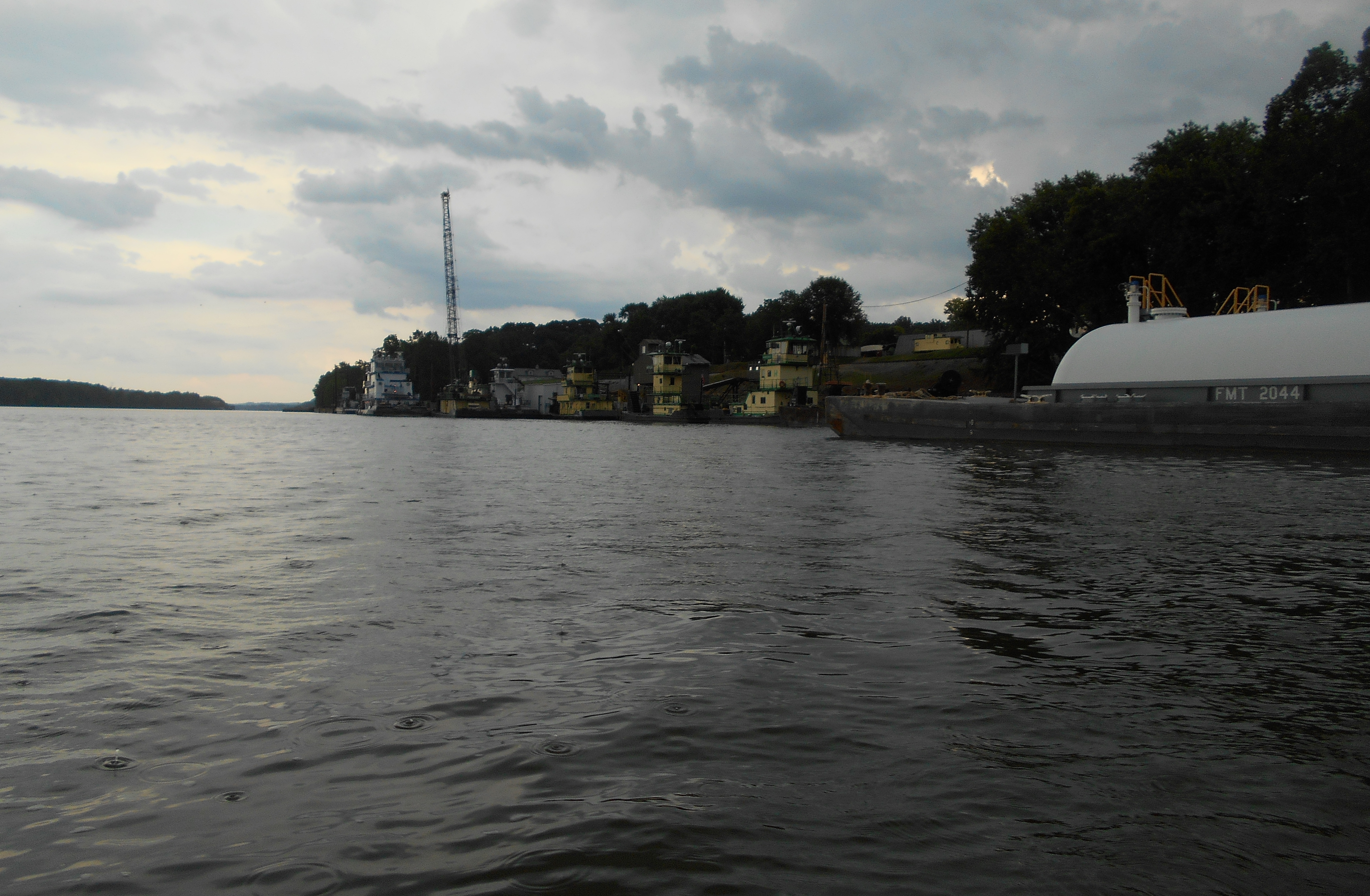
The next picture was taken at the tip of Half Mile Island looking upriver along the West Virginia side. I'm not sure what was going on where you see the crane on the left side of the photo, but on the right you can see another business. This is an interesting one. It's a family run firm called Neale Marine Transportation. According to their website they provide harbor service and transportation with a fleet of 7 vessels. These all have a distinctive green on yellow color scheme. I decided to paddle over and take a closer look...
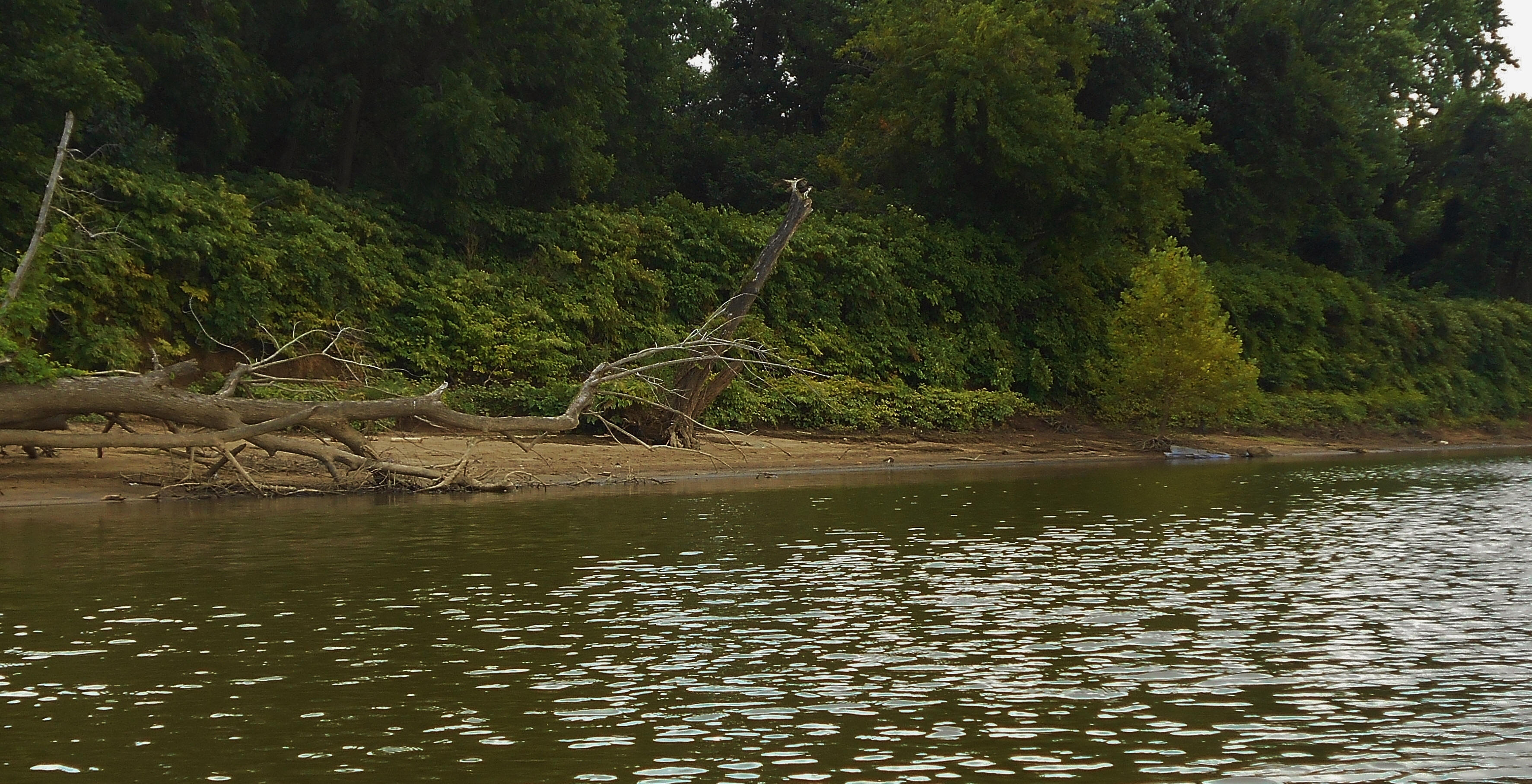
...and once there, I found almost everything to be of interest. From the shoreline in general with it's muddy banks harboring the occasional flowering plant...
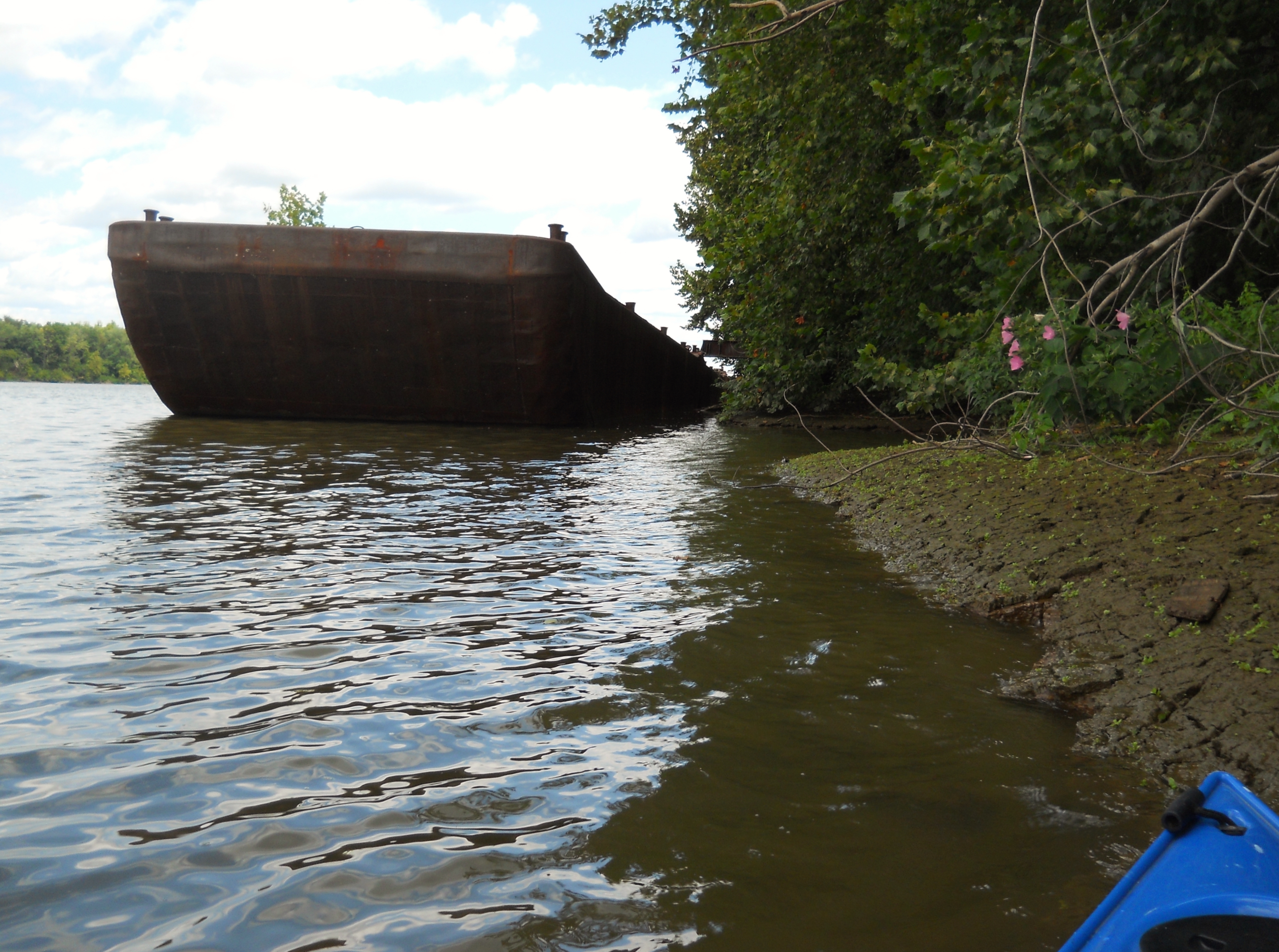
...to the bank itself with little plants sprouting up from the cracks...

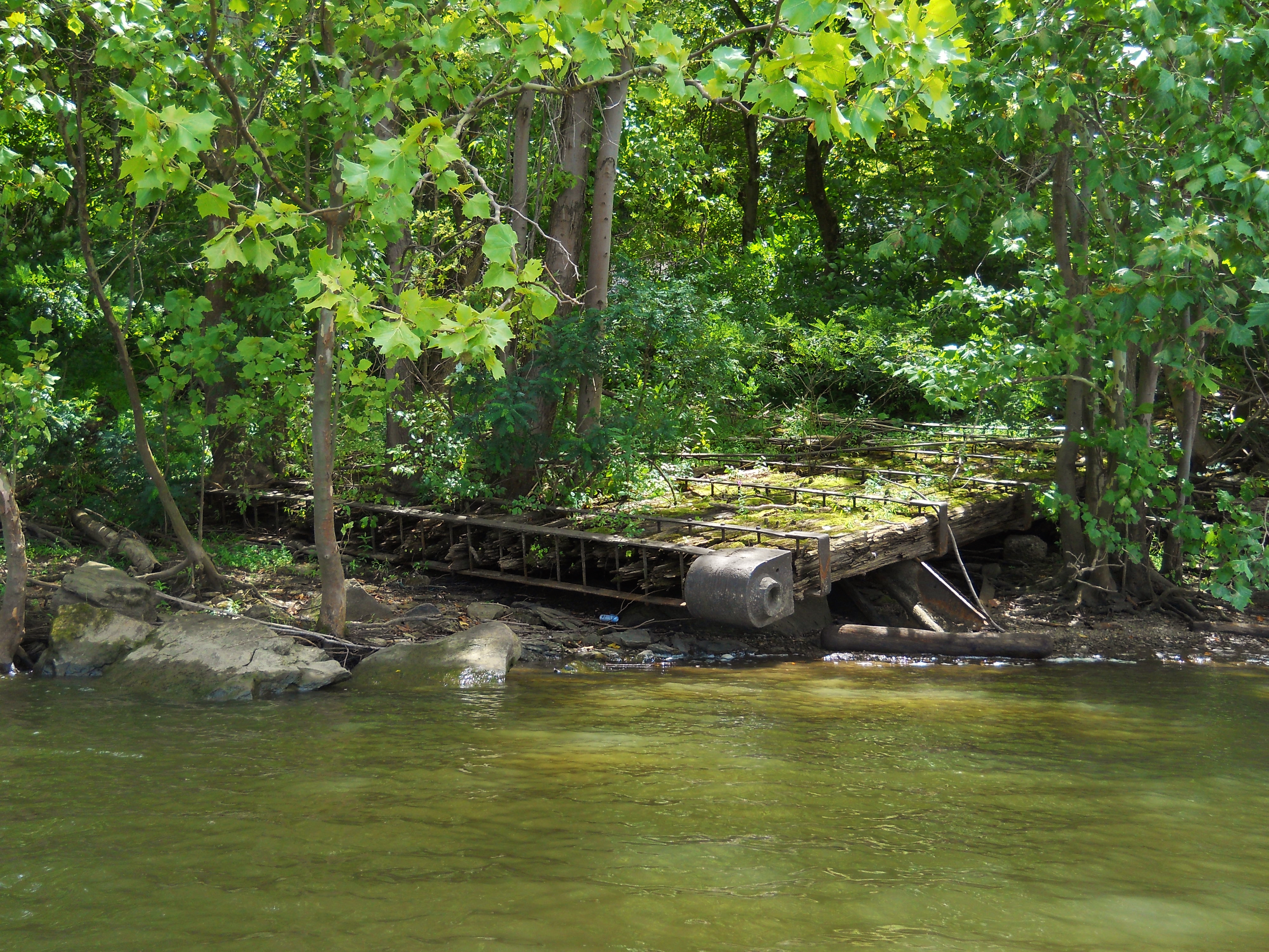
...to a fascinating pair of old lock gates! I mentioned the old lock and dam, but that was about a mile downriver! How would the gates have gotten this far up? Were they needed for another purpose, such that they might have been hauled up to this point?
As far as Neale Marine, below is the best I could do as far as a picture. It had started to get a pretty dark at the time so it didn't turn out too well. I'll try to get a better one because I think it's really cool to see their fleet of boats, each named after a different Neale family member...
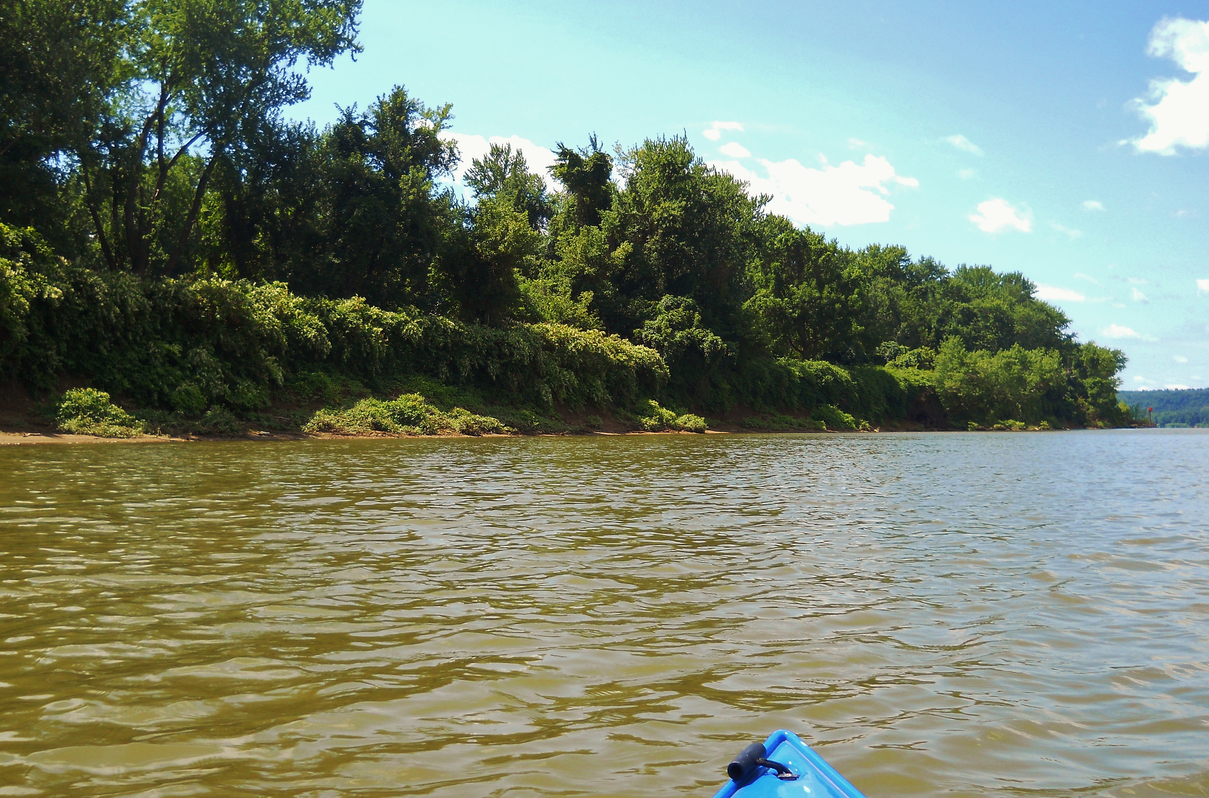
Next up comes yet another island, this one a little over 2 miles long. It's Muskingham Island and there's quite a lot of industry on the Ohio side which is almost always accompanied by a foul stench if you're driving on Route 7. I'm not sure which business it originates from, but I haven't smelled it down on the water in the times I've paddled here. Of the businesses Mid Ohio Valley Lime comes first, followed by Eramet, a company active in extractive metallurgy, Solvay, a specialty chemicals company and Amsty, a company that produces plastics.
As for the island itself, it's nice and you can find some spots to get out if you like. I found the island vegetation to be fairly dense along the shoreline and on one trip I encountered what I think were a pair of ospreys. I thought I'd gotten some good pictures but mine never turn out as well as I would have liked. They're in the center of the second picture. Incidentally, you'll find that all of the islands in here - Neal, Half Way and Muskingham - are part of the Ohio River Islands National Wildlife Refuge, the headquarters for which is located near the Williamstown ramp.
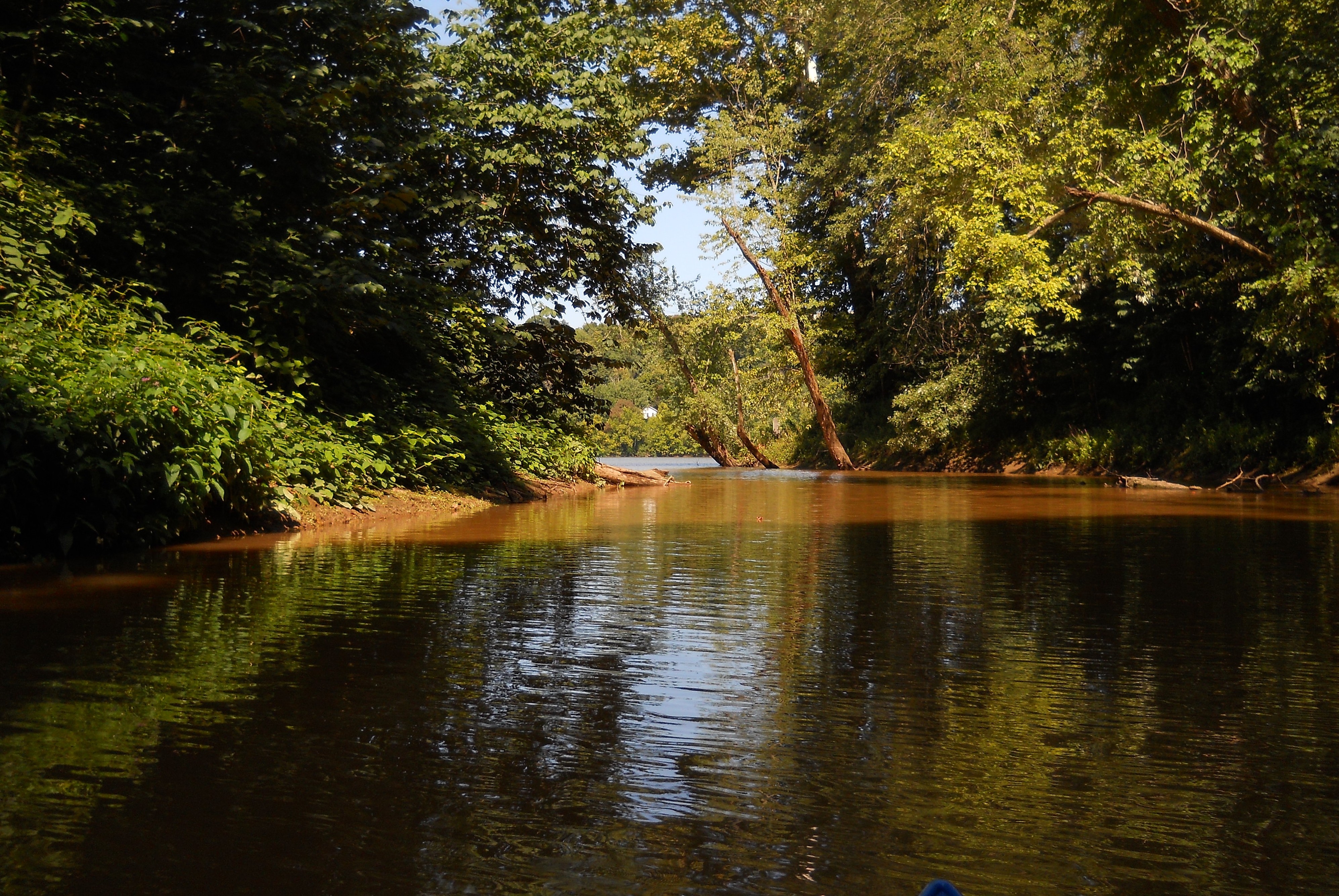
Once you reach the upriver tip of Muskingham Island you'll find that Moore's Run comes in on the Ohio side just before what looks like a combined Asphalt Materials, Inc./Marathon Oil location. You can't get in very far into the stream but I always think it's worthwhile to paddle into these because you're apt to encounter some very pleasant scenes...
Back on the Ohio and another mile up you'll have Big Run (a.k.a. Two Mile or Williams Creek) entering on the West Virginia side. This one is similar to Moore's in that you can't get back very far, yet it's definitely worthwhile to explore a little.
At this point you'll be able to see Marietta up ahead on your left side as well as a section of rock that has been cut out of a hillside to make room for Route 7. It was in here that I encountered a Neale vessel one day, the Mister Charlie Neale.
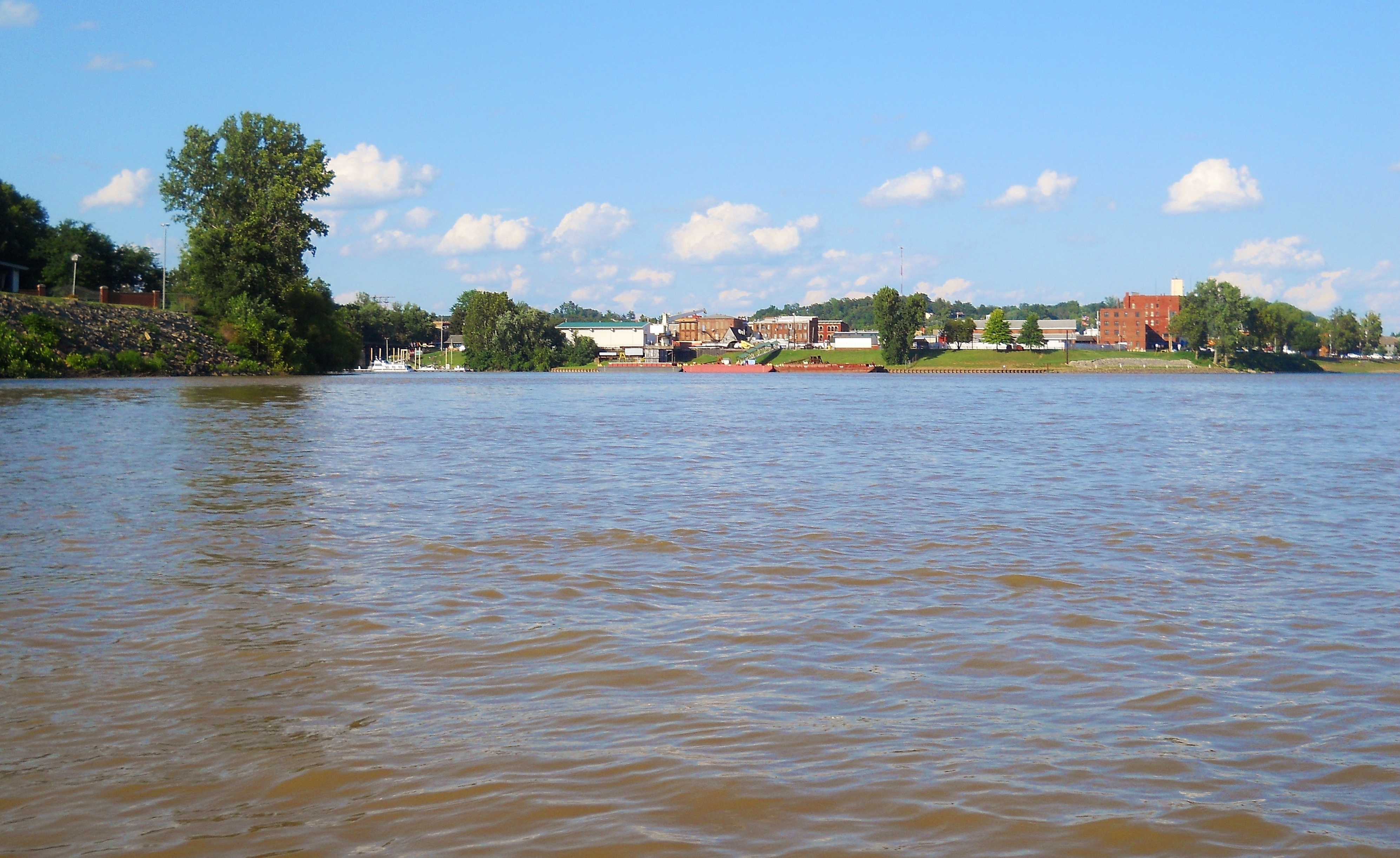
There's an interesting spot right before you reach Marietta. It's at a point where another little stream comes in (One Mile Creek) and you can see that the bank was reinforced at one time for some kind of structure that was once onshore. It's in ruins now, but if you're driving on Virginia Street south of Marietta in Harmar Village you'll see a remnant of a chimney onshore at this same point. If anyone could tell me what this structure used to be I'd be very grateful. A little further down you'll find Boathouse Barbeque. This is another spot where you can dock your boat and go on up for a drink or a bite to eat.
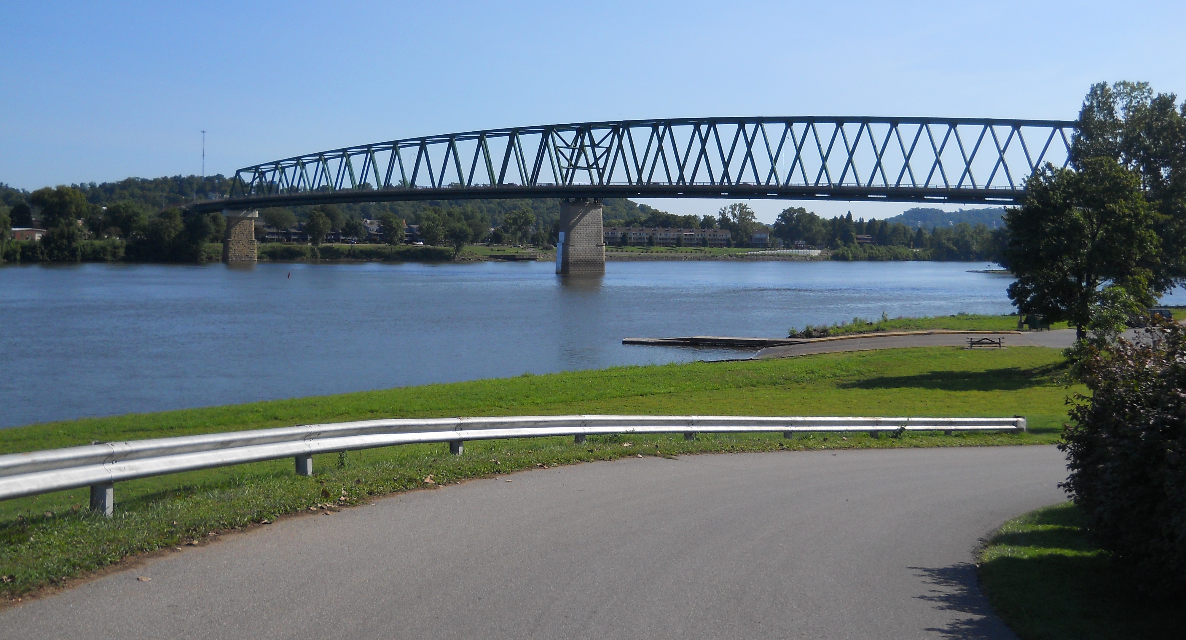
I'd be extremely careful from this point as the Muskingham River comes next. Any time you've got two major rivers coming together it can become quite hazardous to navigate. I've written about the Muskingham separately, but you'll be able to go 5 1/2 miles before you reach the first lock and dam in Devola, Ohio. In the photo below you see the LaFayette Hotel on the right (it's the large red brick building). I highly recommend staying here. Many of the rooms have you stepping back in time 100 years. It's really quite nice. You can also dine here if you like. Meanwhile, in the middle of the photo you'll see some barges docked. This is a U.S. Army Corps. of Engineers location that the charts refer to as Government Harbor.
Here's a wider view with the Lafayette Hotel in the middle...
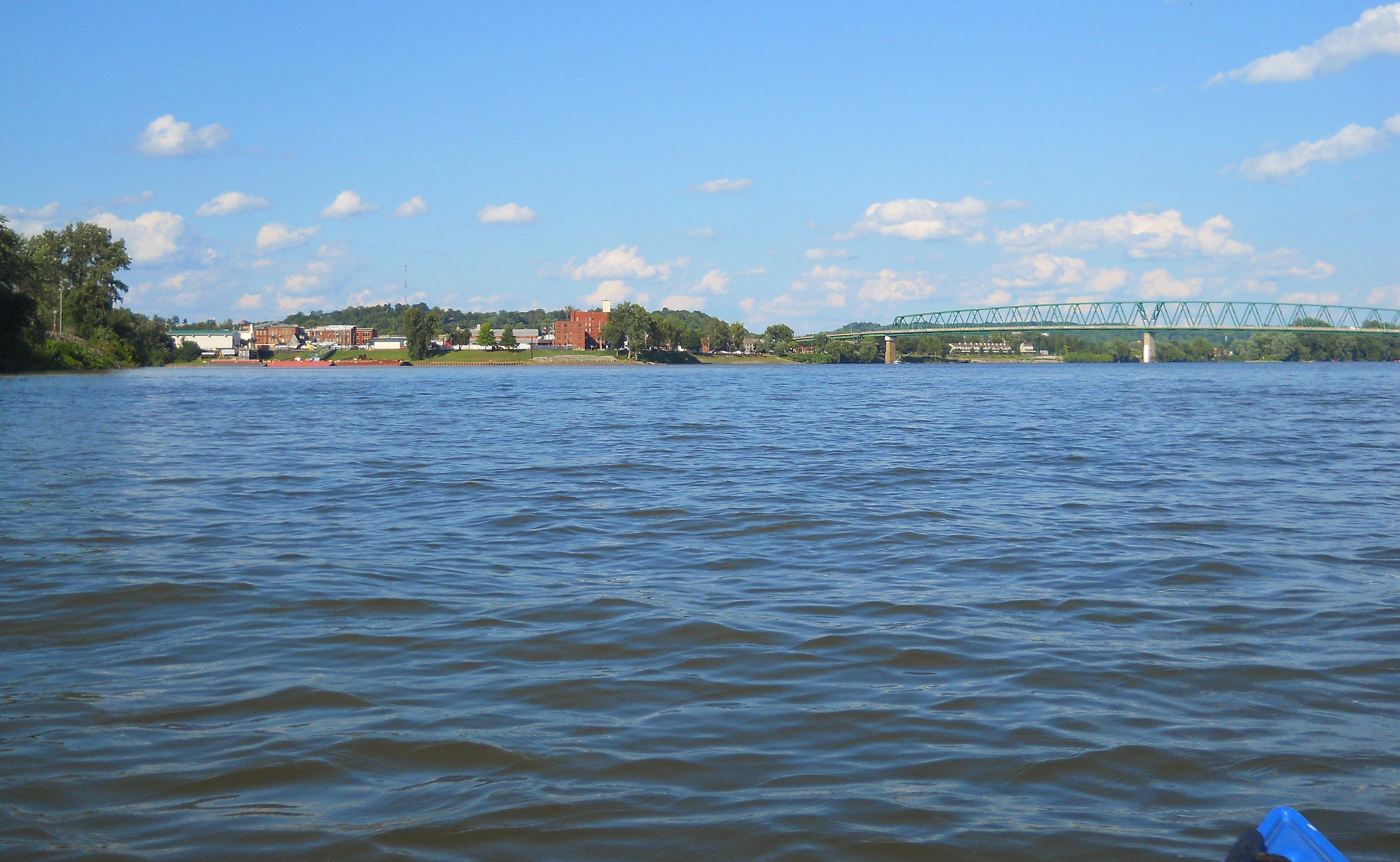
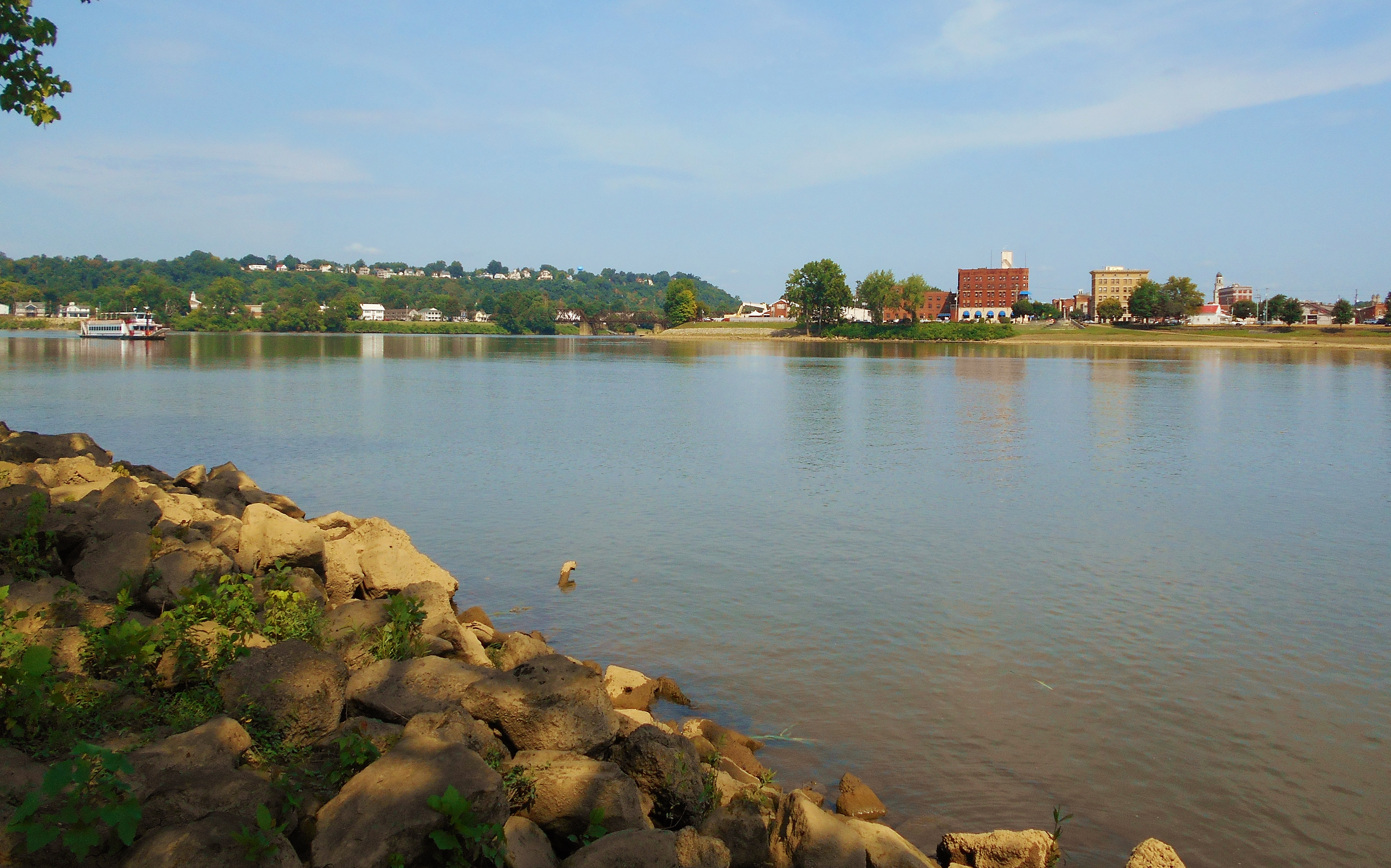
I'll cover more of Marietta as well as the island you'll see here (called Marietta, or Kerr, Island) in my next journal but you can put in a canoe or kayak from the Marietta side if you want. It's just that there are so many geese here that you'll have to dodge some excrement.
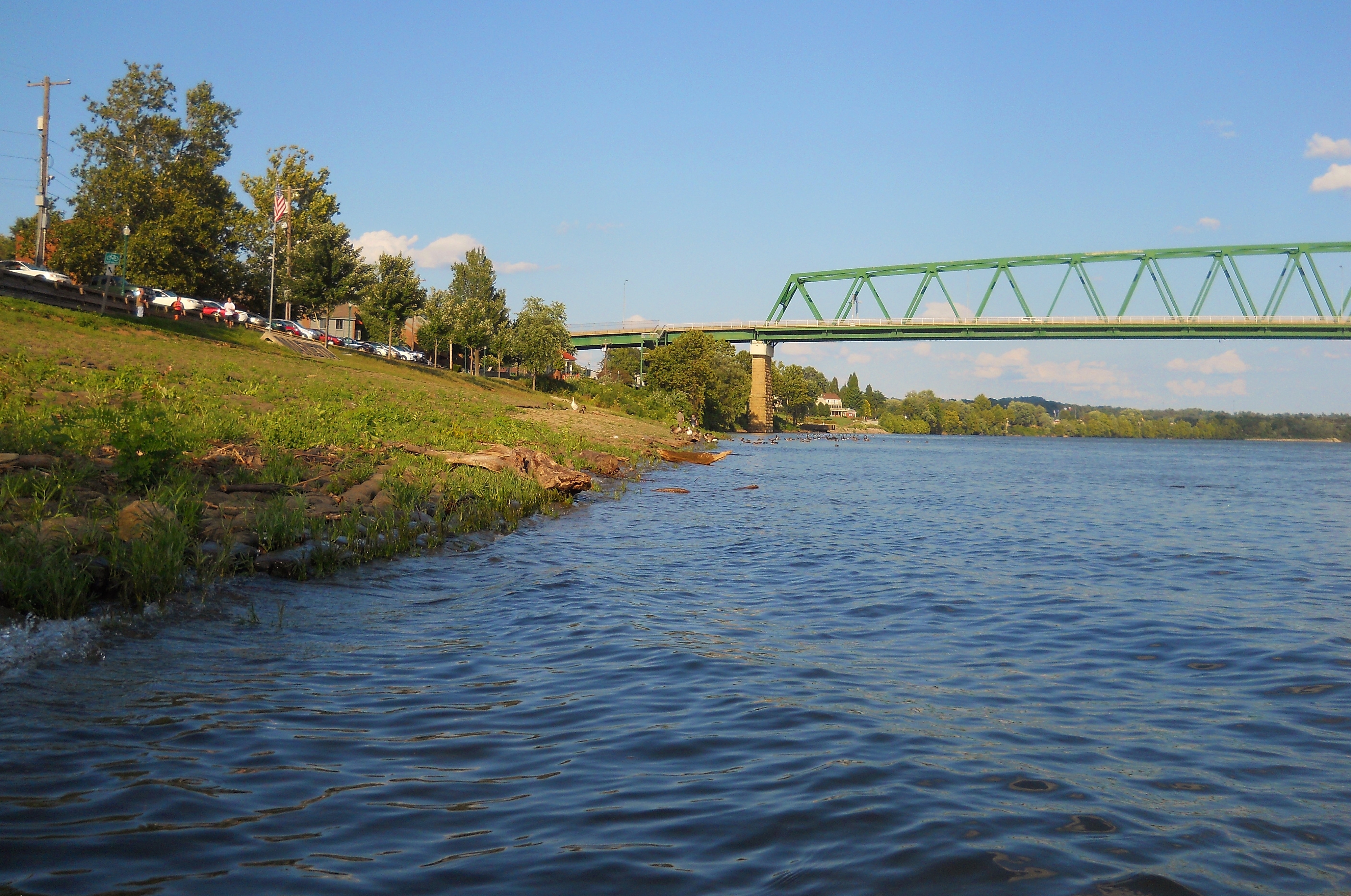
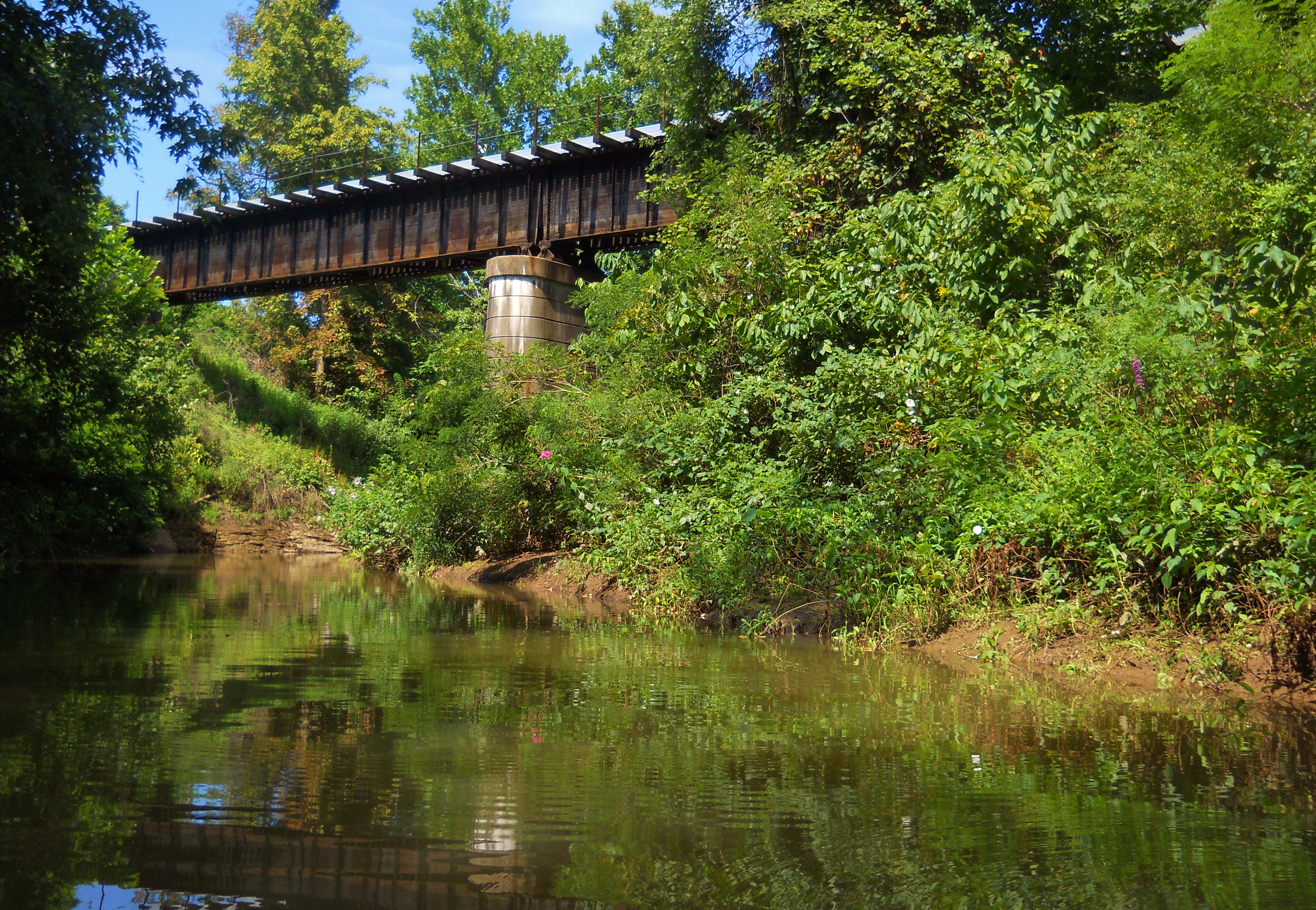
From this point I very cautiously paddled back over to the Williamstown ramp which lies almost directly across. I did, however, use the bridge support you see in the picture as a point of respite at the half way point. This support is almost directly at the tip of the island which itself is quite inviting. More often than not - especially in the warmer months - you'll find some paddlers here.