This is a nice section of the river but if you paddle here you'll want to be extremely alert! I always paddle well toward one shoreline or the other, leaving 90% of the water on my left and 10 or less to my right when I see another boater coming. As such, any reasonable soul with consideration for safety would never pass on my right - much less a power boat going at full speed. Paddlers can capsize from the wake. In 10+ years of paddling and a few thousand miles I've only experienced this 4 times. Once was 8 years ago on the Ohio alongside Louisville, once was in this same pool just 2 weeks ago and it happened twice today!!
I wondered why this would be and why it might happen so often in this particular area. I'm a resident of Marietta so I want to be fair, but for a number of reasons (inexperienced boaters being just one factor) I would come here with the expectation that hearts and minds are not going to be fully operating around Parkersburg and Marietta. At this point I simply don't think it's safe to assume otherwise. Please be incredibly careful and really hug those shorelines!
All that said, this stretch of river is 10 miles long (with a round trip of 20). I'd rather have broken it in two, especially given the number of navigable side streams that come in here. Problem is, aside from the put in's in Marietta and Williamstown which are directly across the river from each other, there aren't any other public ramps between here and Willow Island Dam that I know of. Thus, I only paddled the Ohio today as well as a couple little side streams that I'll describe shortly. The Muskingham River was one of the streams I'd have to pass up. It's so long that I've got a separate series of journals on it. However, I'd also have to save Duck Creek and the Little Muskingham River for another day. I'll check these both out and update this journal with notes about them in bold when I can.
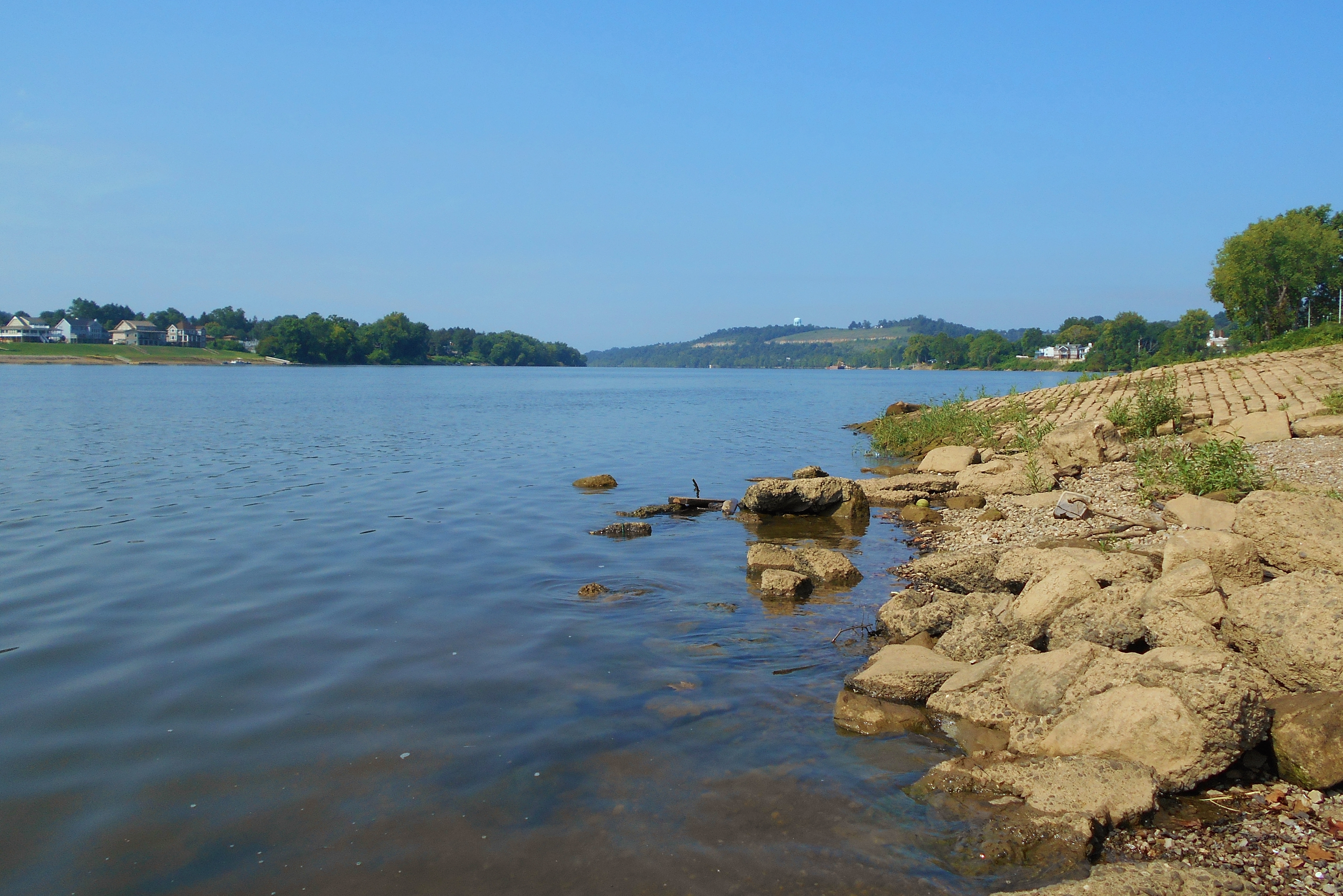
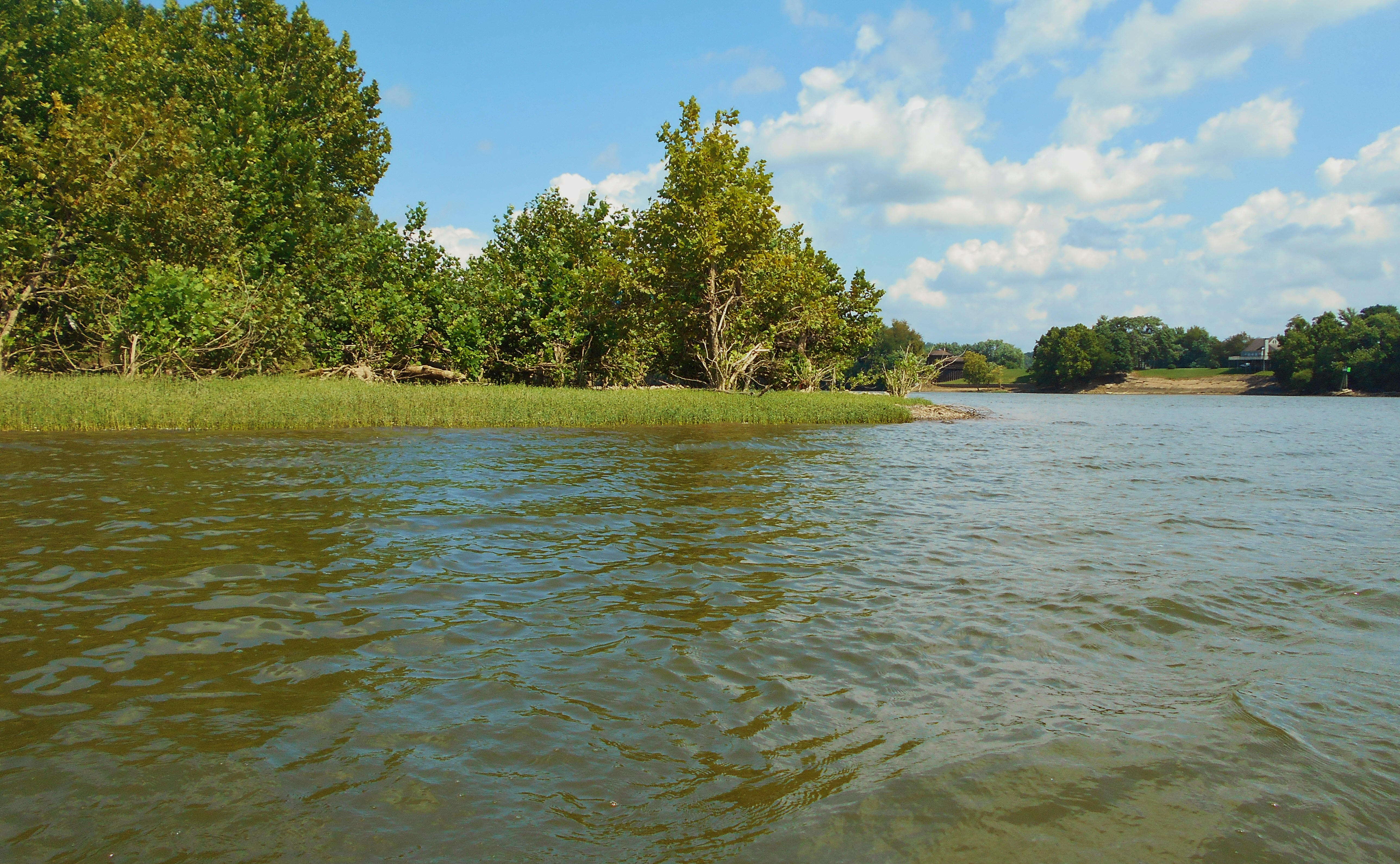
As far as the put in's... The ramp in downtown Marietta, Ohio is an option but there's always a ton of geese present with all the accompanying excrement to negotiate. It can be the same way on the other side at the Williamstown public ramp. Thus, what I did today was put in on the Marietta side a little further upriver from their ramp. If you look at a map you'll notice this area at the end of South Second Street. I parked, walked down the rocks/bricks in front of a great restaurant located here in a historic old building - The Levee House Bistro - and found a nice sandy area to put in (pictured below).
When you begin from this point you're at a spot that lies at the confluence of the Ohio and Muskingham Rivers. Marietta, Ohio and Williamstown, West Virginia are in great locations, indeed! On the Marietta side you'll see the historic, brown brick LaFayette Hotel. I've stayed here a few times and it's quite an experience! I highly recommend staying at least once! It's really a fantastic trip back in time with rooms that don't look like they've changed much in 100 years. They're quite clean and comfortable as well.
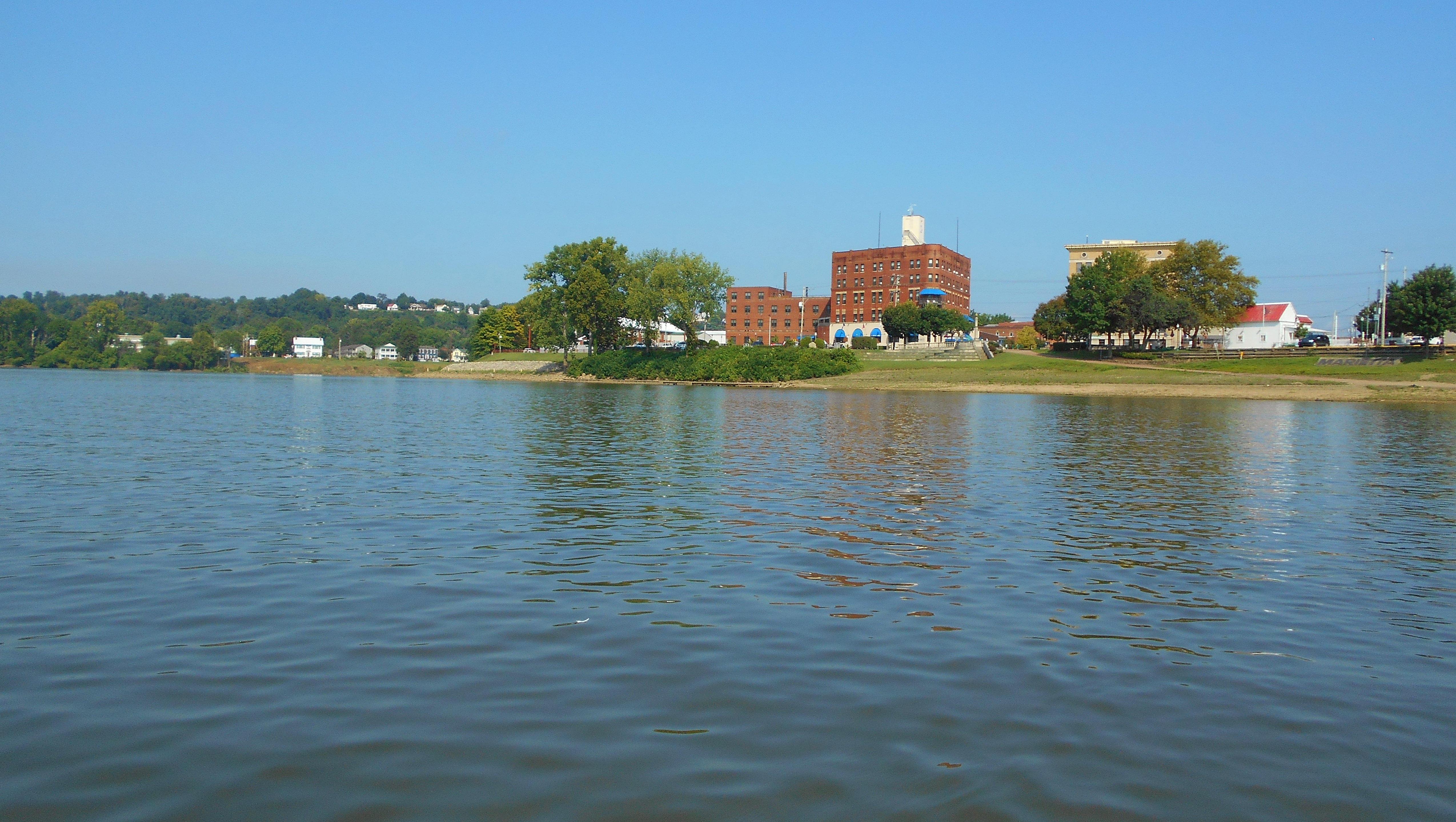
Here's a wider view of Marietta with the little beach-like area I put in from visible near the far right...
Here's a shot of the Williamstown side looking downriver with the nice ramp and parking area they have visible on the left...
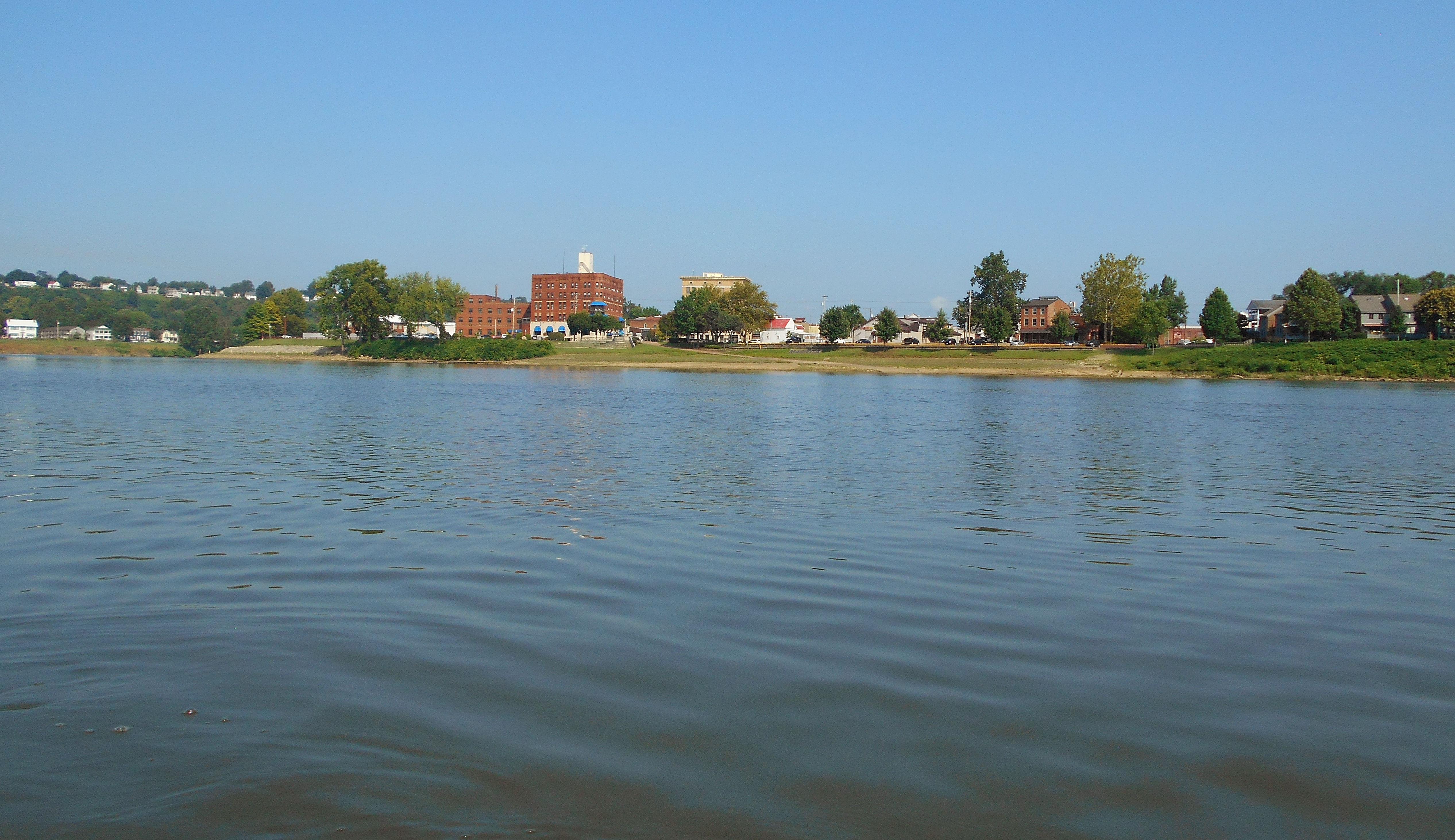
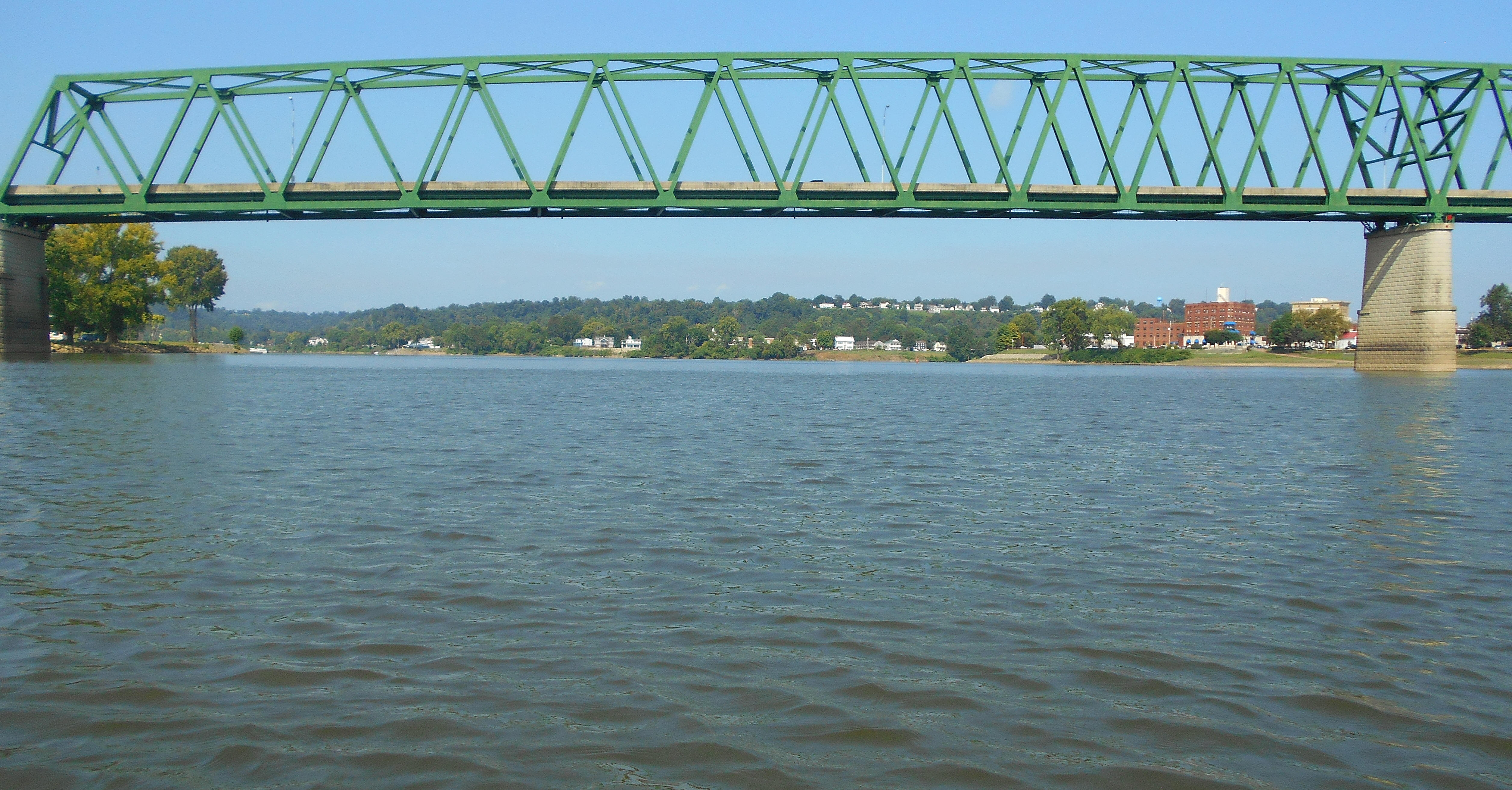
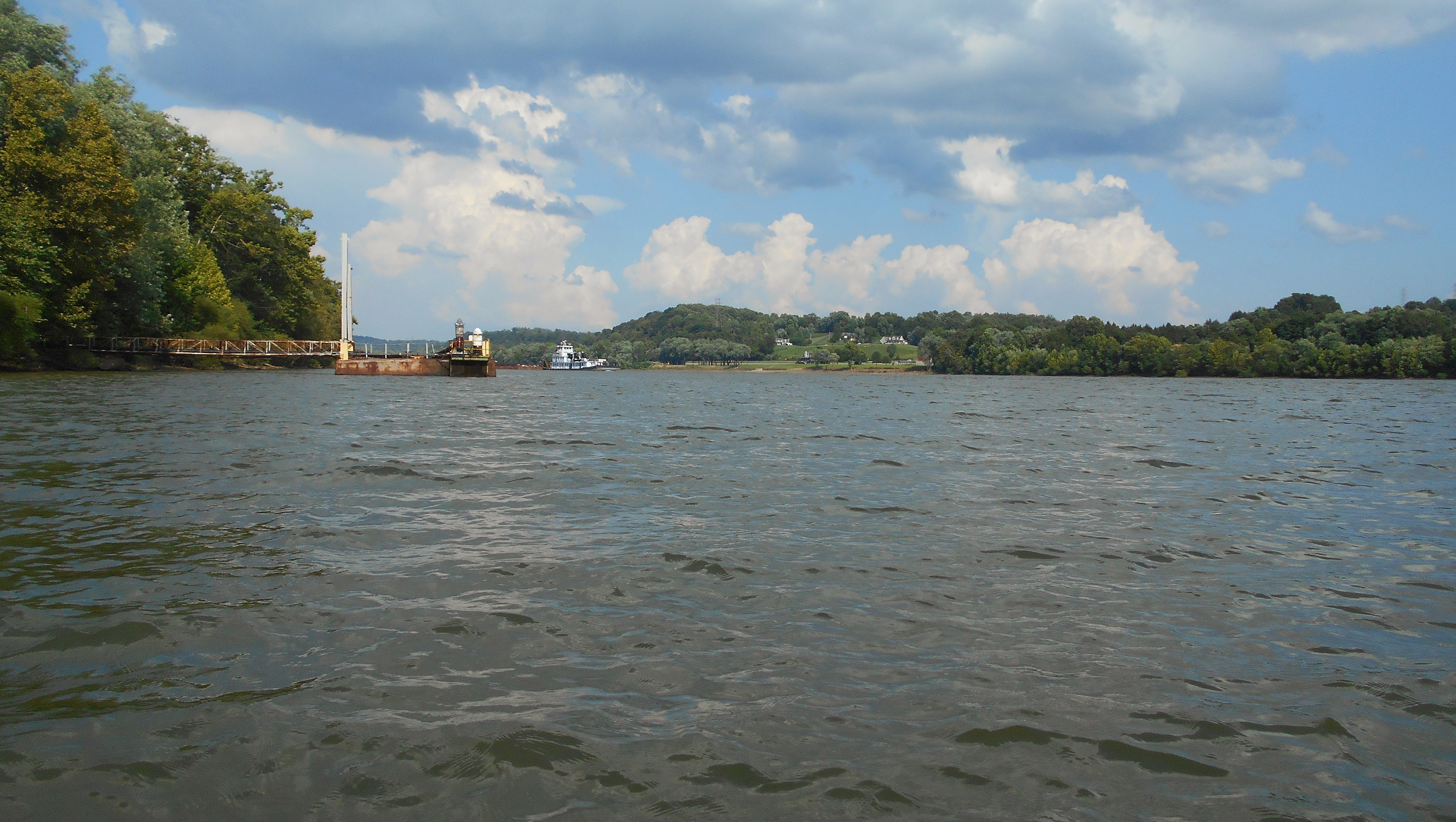
And finally, here's a more all-encompassing shot of both...
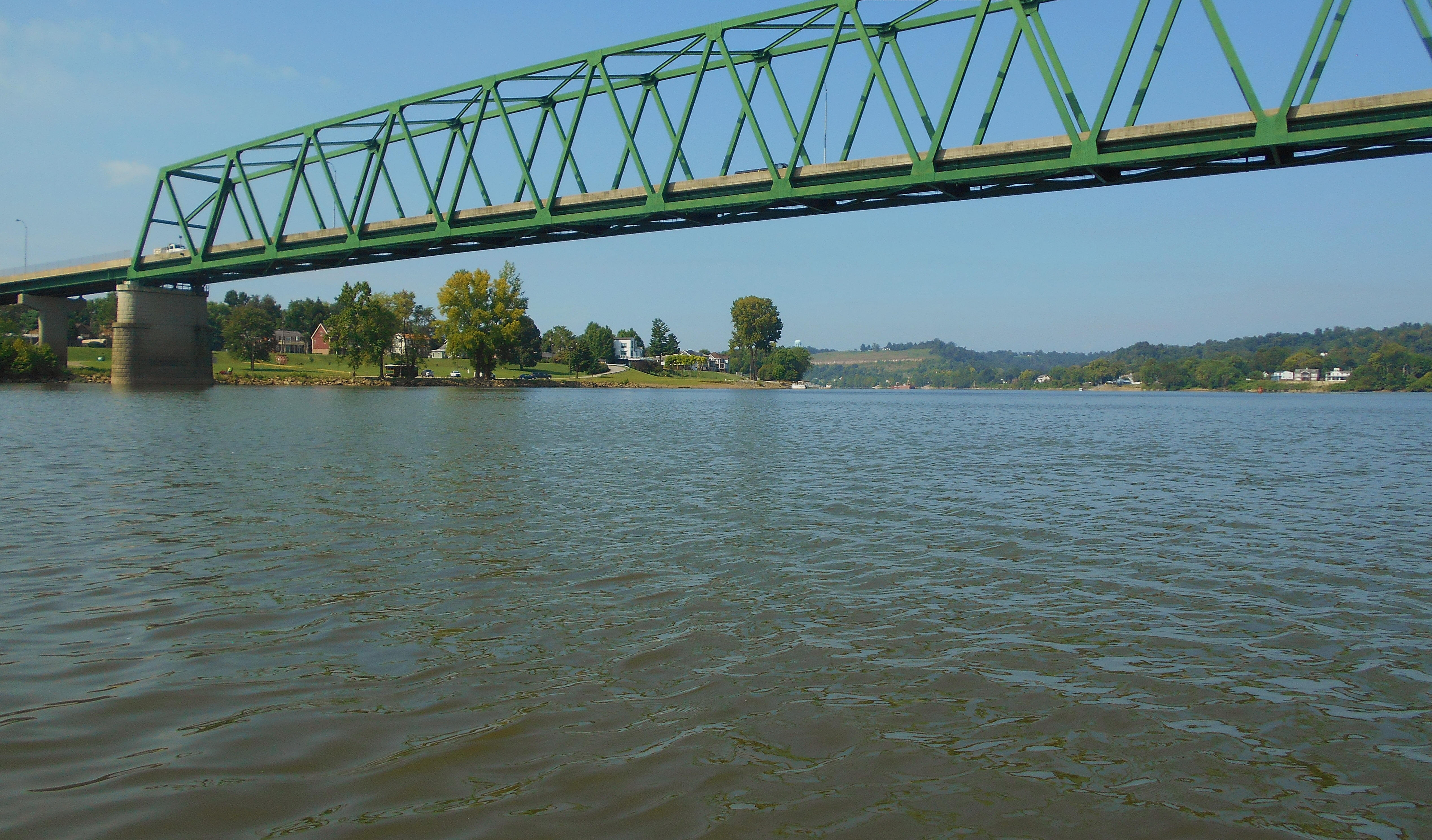
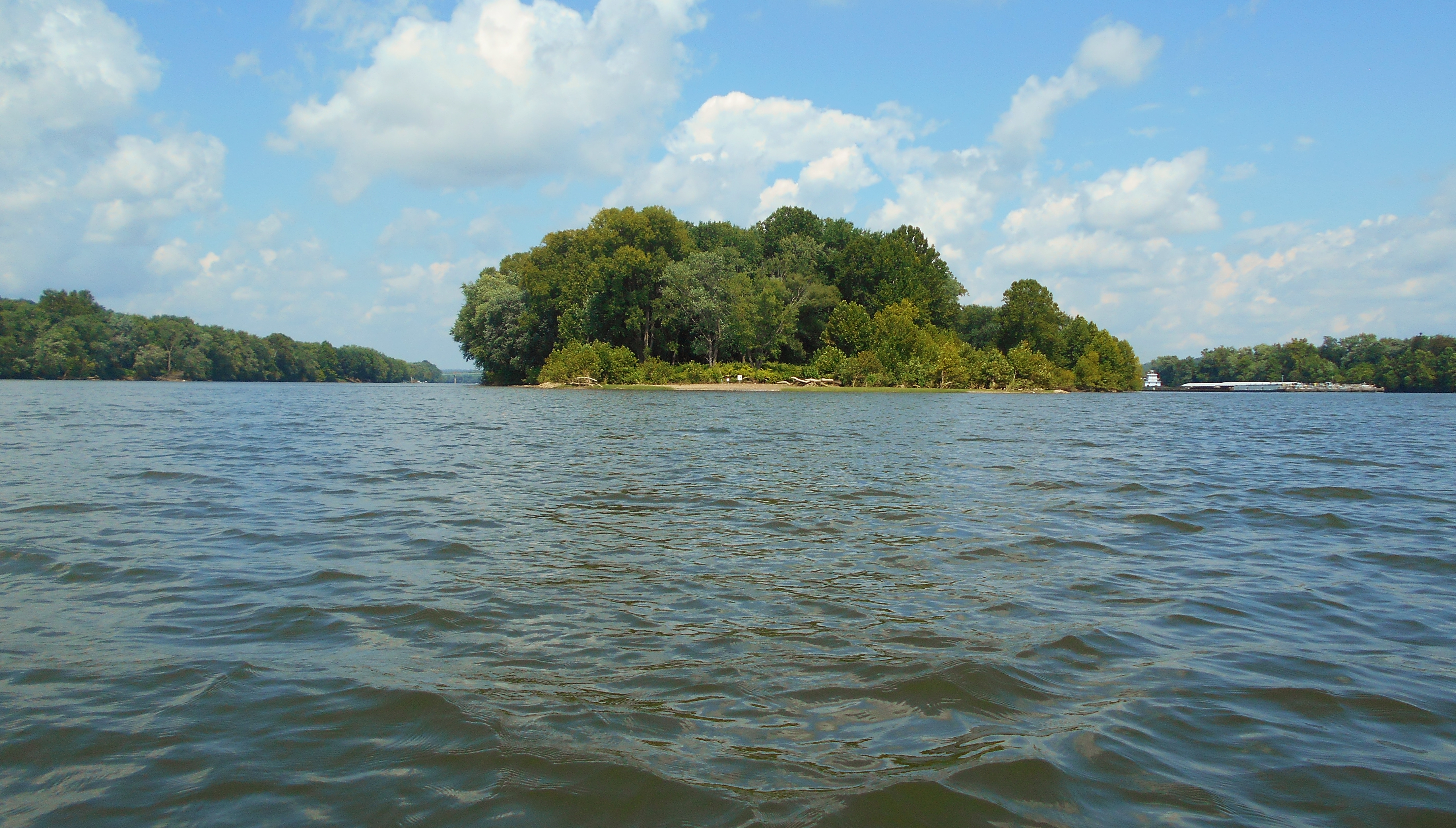
Heading upriver from this point you'll have Marietta (a.k.a. Kerr) Island visible just ahead. This island is three miles long, and at this downriver tip you'll find a very nice resting spot that is quite popular with all kinds of boaters - paddlers included. Most of the island consists of muddy banks at which you're liable to sink in if you get out, but here (and at the upriver tip too) it's much easier. Incidentally, this is a National Wildlife Refuge Island that you'll see periodically on the river. According to the web link there are 22 of these on the upper Ohio River and this particular one marks the spot of the refuge headquarters which lies just upriver from Williamstown (directions here) near where the I77 Bridge crosses the river.
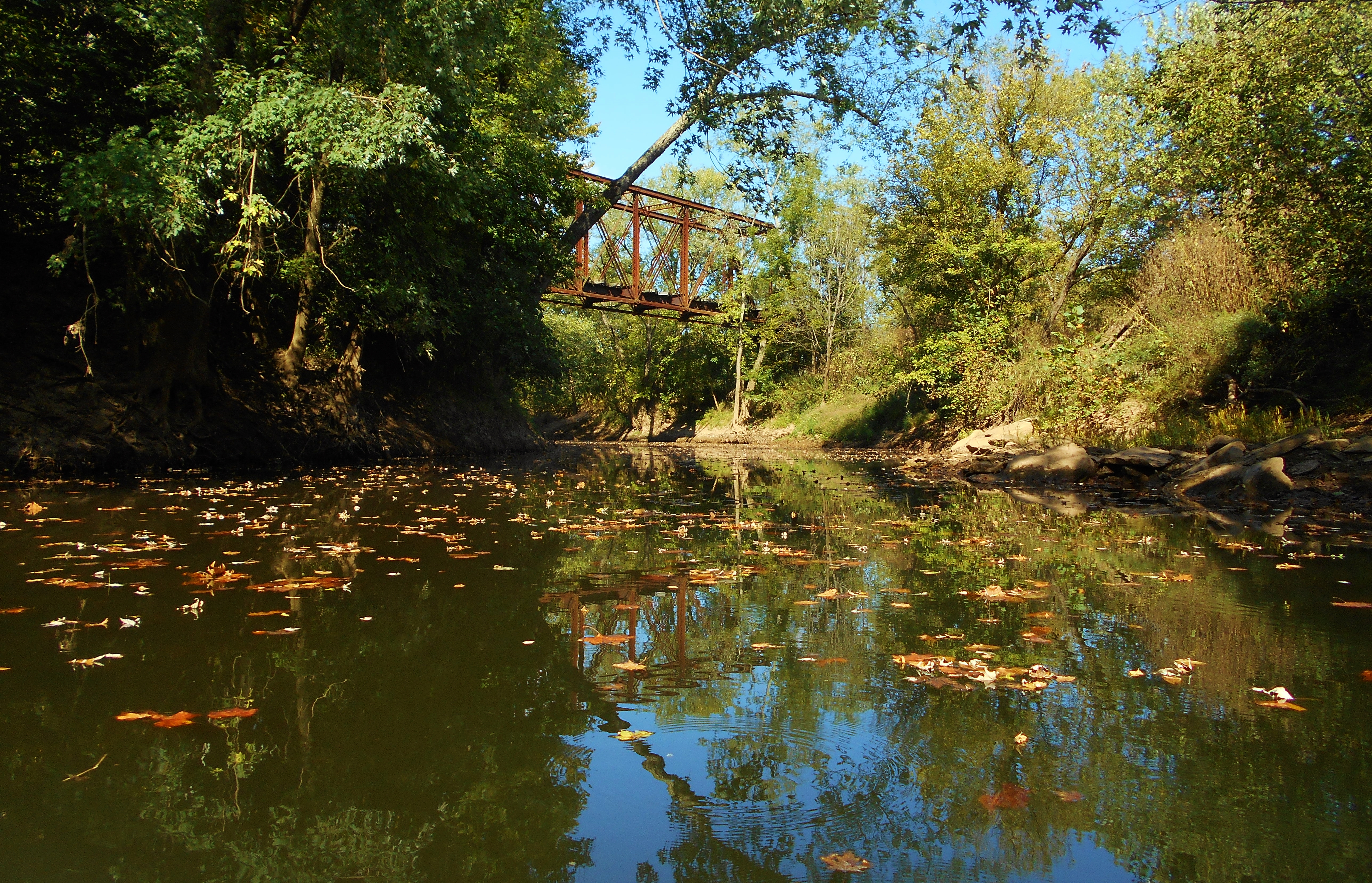
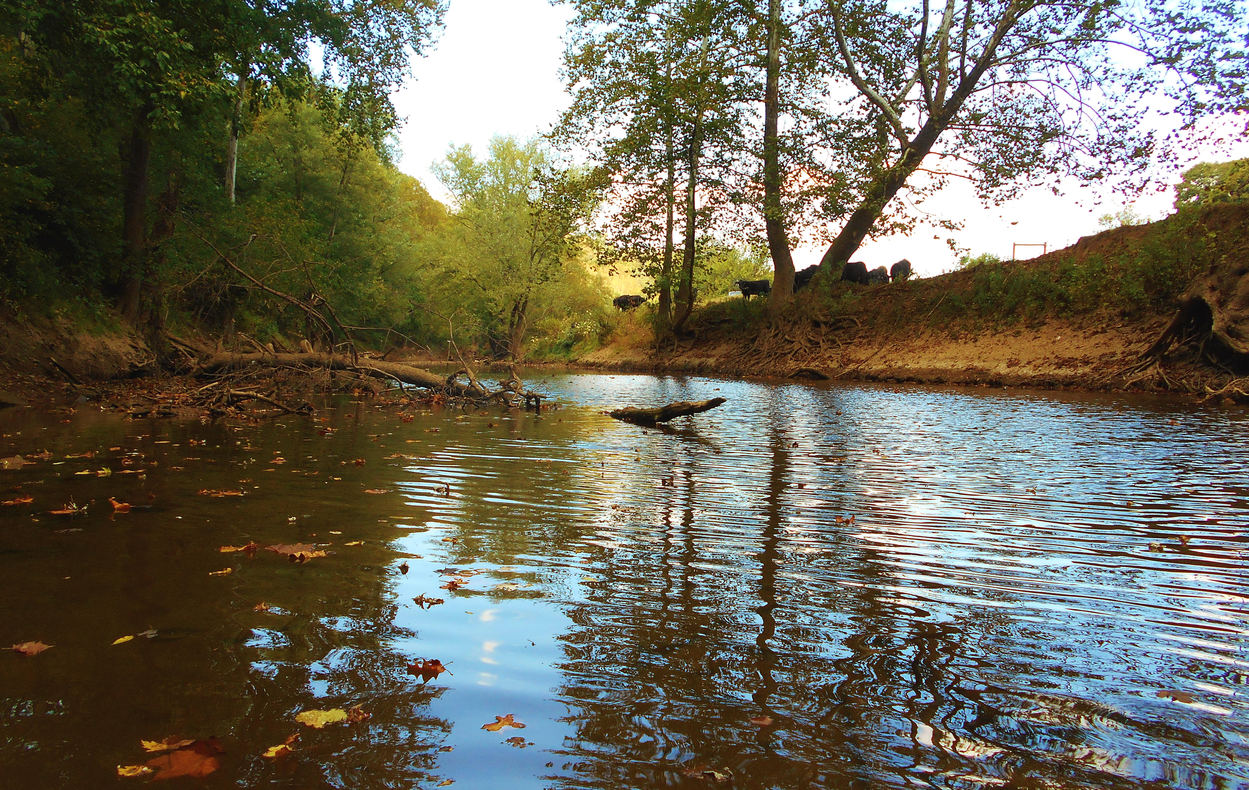
Anyway, I paddled up the right side of the island on the way up and then went down the left side on the way back. Both sides are relatively peaceful despite a busy shopping district in Marietta and the I77 Bridge at mile 171. Duck Creek comes in after the bridge on the Marietta side. NOTE: I was later able to pick my way back into this one about 4 miles. You won't get much solitude in the first mile but you will after that. It's nice because the water will get pretty shallow and it's clear, so you can see the algae on the bottom. You'll also see a great old bridge and perhaps a few cows. Below are a couple scenes...
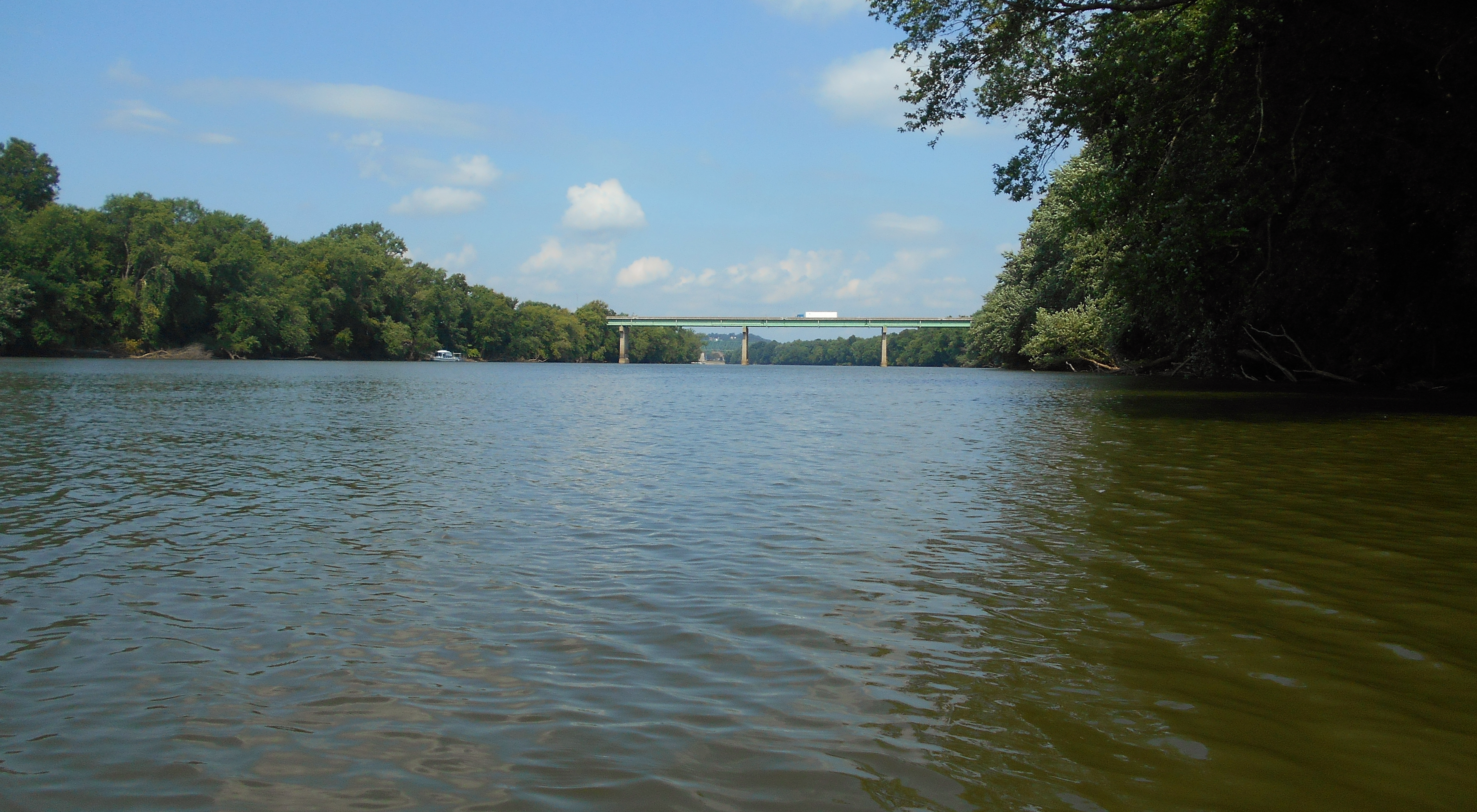
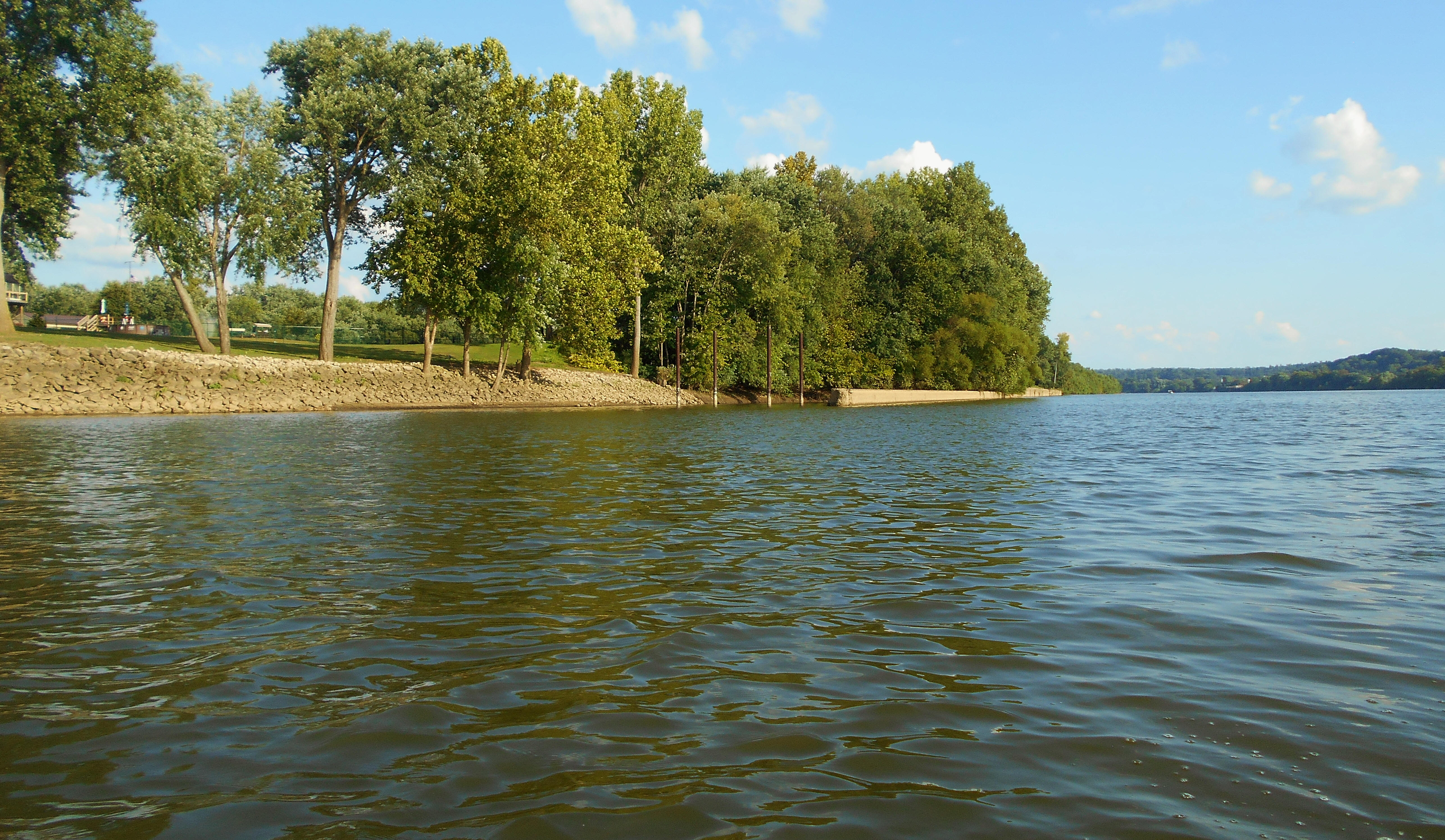
Back on the Ohio I noticed something else after passing the I77 bridge - a very long stretch of gently sloping banks on either side of the river which would extend all the way up to the Willow Island Dam. Thus, getting out for a rest certainly isn't out of the question in this section. There are also some nice farmland views along the West Virginia side along with what appear to be 3 little marina's. Here's a photo looking back downriver towards Marietta on this side.
Below are a couple more pictures taken at the upriver tip of the island at mile 169. There are a couple businesses on the Marietta side that are noted on the charts at this point with the first being noted as Miller Pipe (although online I see it to be Ken Miller Supply Company now). The other is Smith Concrete. The latter has been around since 1922 and they're now part of The Shelly Company. You'll find Shelly affiliates all along the river.
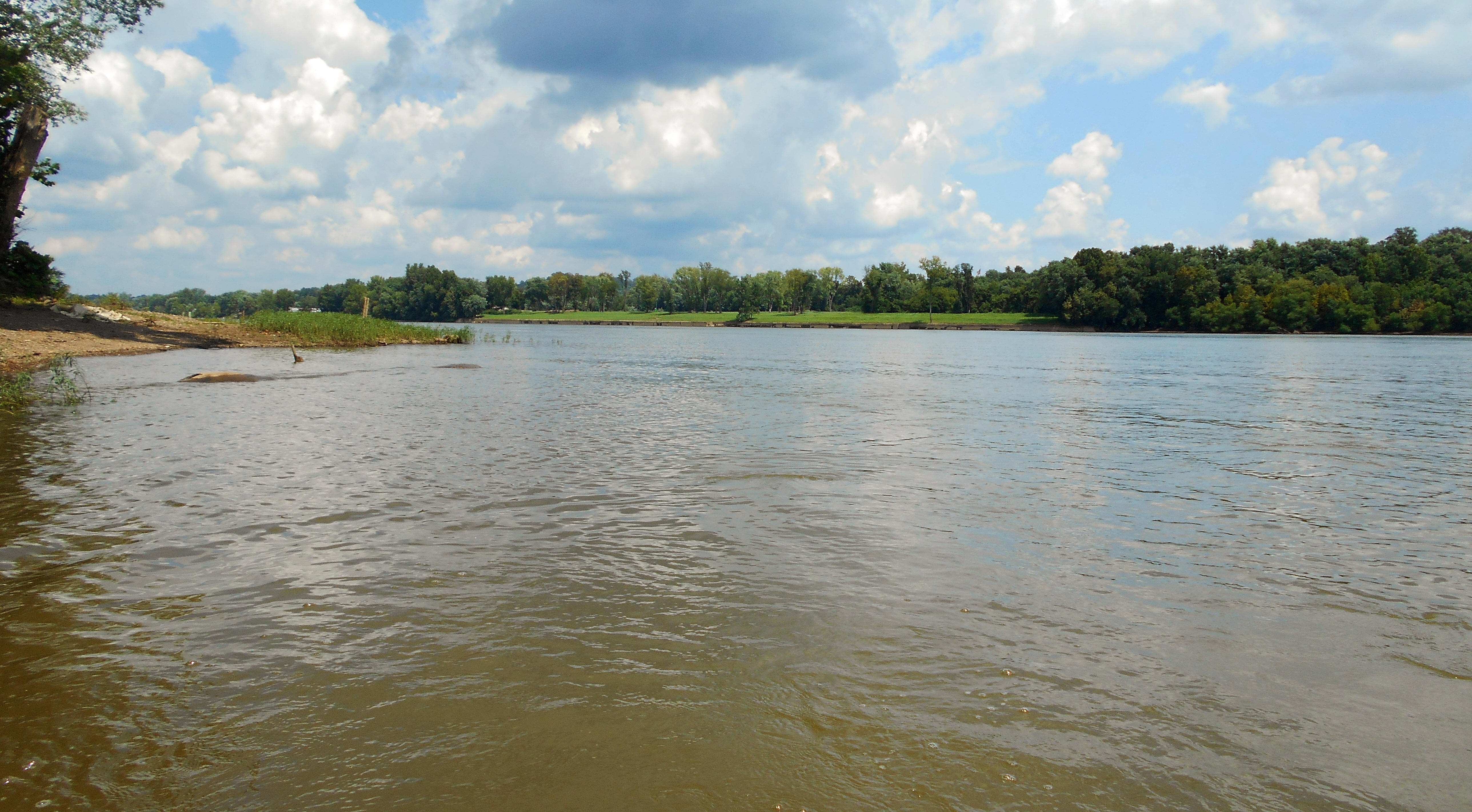
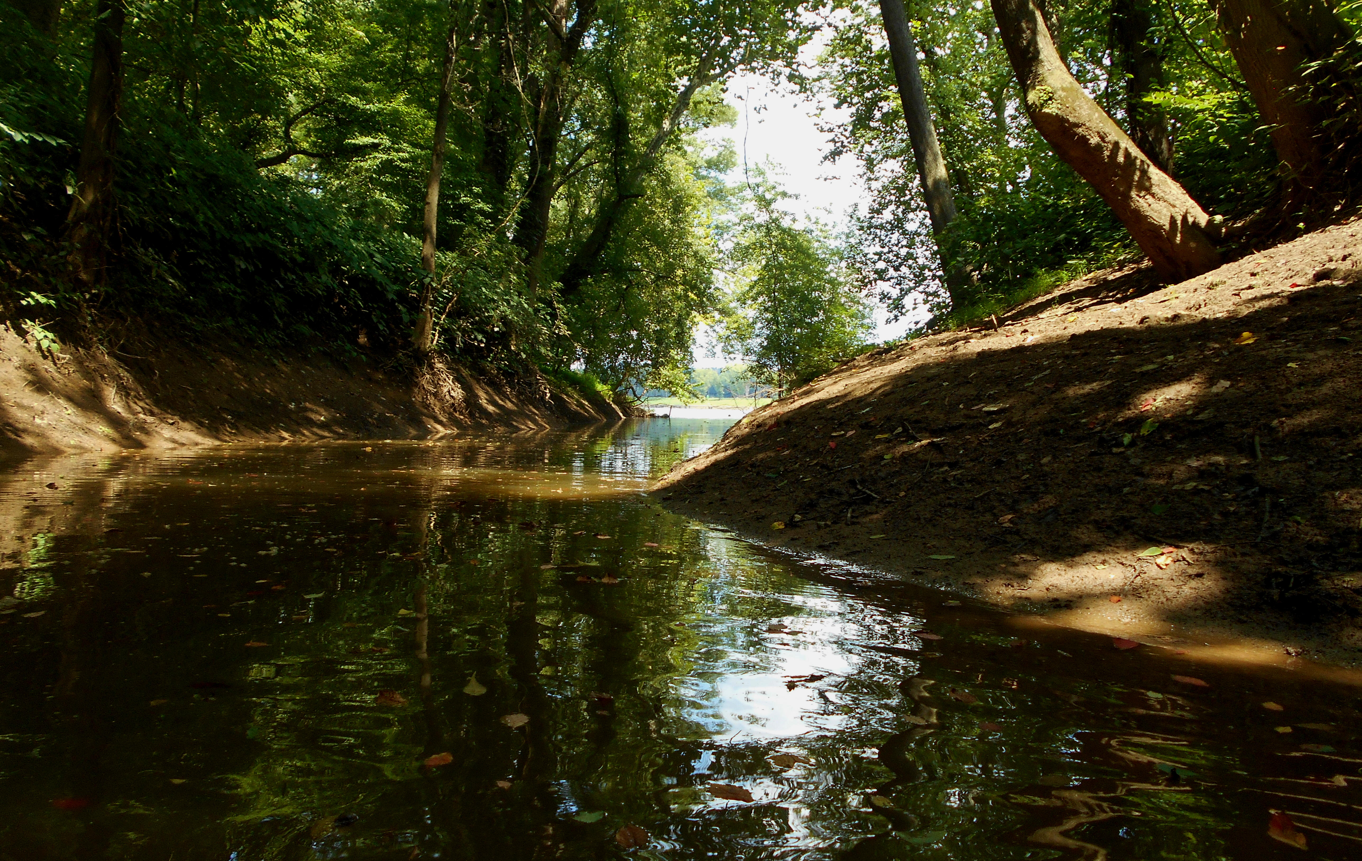
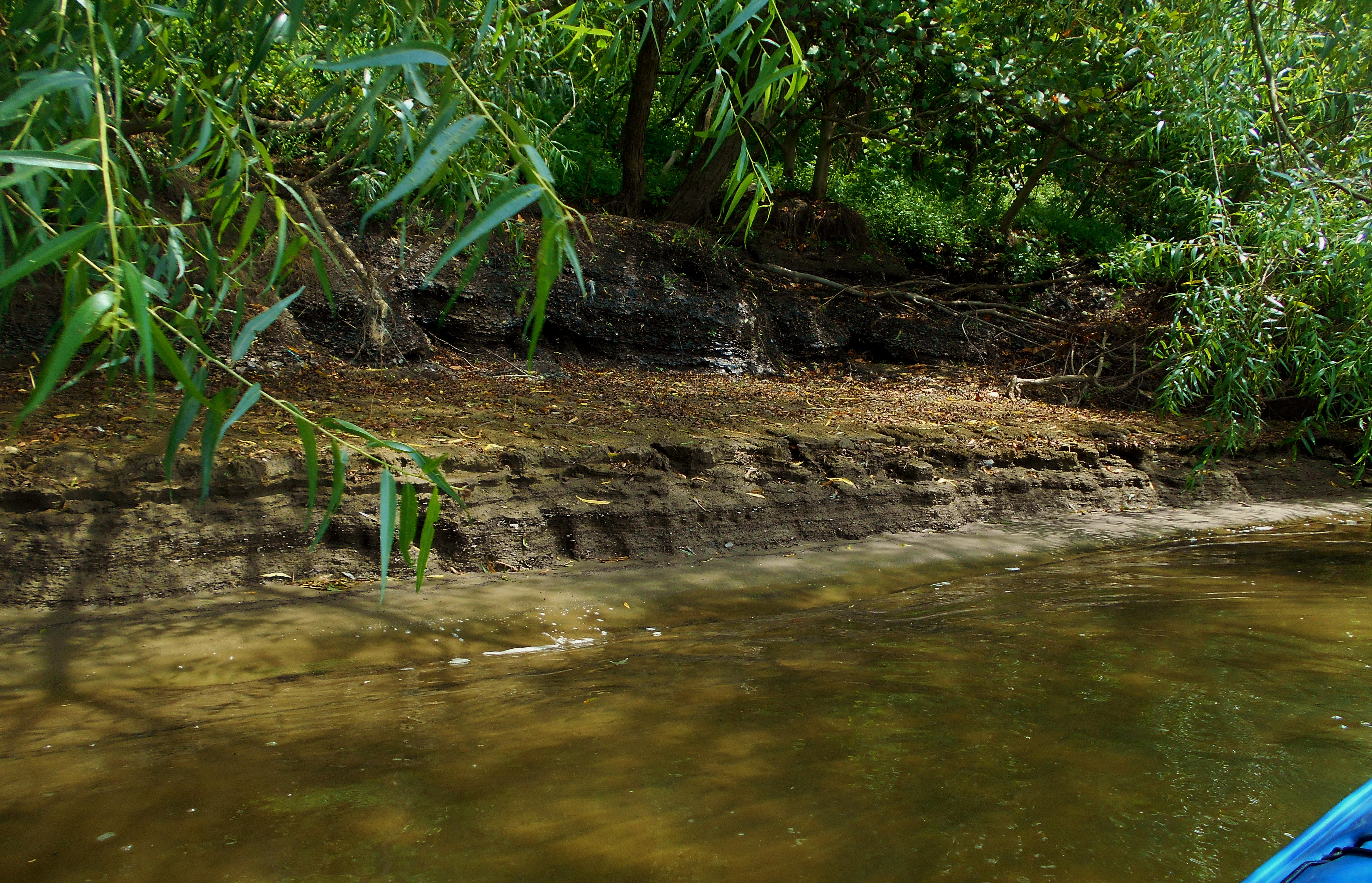
Anyway, from this upriver tip of the island all the way up to the dam you're going to be making an extended left curve. You'll have a railroad track directly to your right, and between it and the short space to the river you'll have a long line of little getaways on the gently sloping bank. The community of Compton, West Virginia is here. Meanwhile, on your left you'll find farmland amid the community of Reno, Ohio. The Little Muskingham River enters at mile 168.5. NOTE: I paddled here in 2021, finding this stream to be navigable for 3 1/3 miles. Below are some scenes. You may see and/or hear some goats if you explore here (and this was the first time I'd seen any goats in my river travels). At the back you'll find some riffles with a beautiful farm scene in the background.
.jpg)
.jpg)
.jpg)
Following the Little Muskingham River, you'll find a boat ramp for the Landing's Family Campground (located on Facebook) followed by one of those incredibly intriguing old lock and dams. I love these!! This is old number 17, and it looks like they've made it into a Veteran's Memorial Park at the end of Coffman Lane. I saw quite a few flags up on the bank.
Back on the West Virginia side Carpenter Run comes in at about mile 167.5. I got further into this stream than I thought - about 300 yards. You can see the old lock and dam grounds on the other side of the river in the first picture which was taken from the mouth.

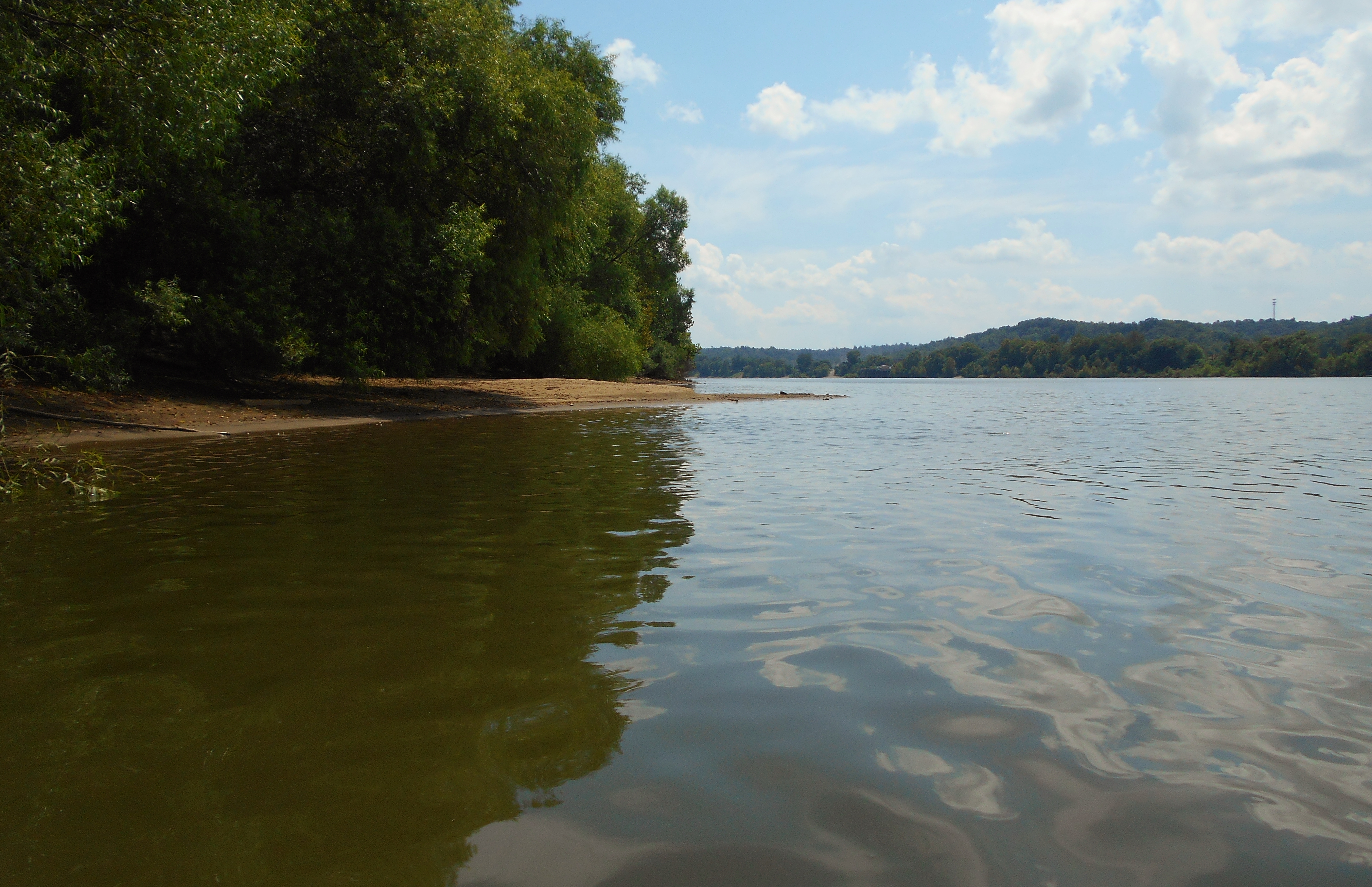
Upon emerging from this stream you'll notice that the line of getaways on this right side soon gives way to Carr Concrete at mile 166.5, followed by the community of Waverly, West Virginia. Carr sells precast concrete products for the construction of such things as culverts, bridges, storm/drainage systems, etc. Their website is interesting and it gives you a better idea of their range of products. Meanwhile, on the Ohio side you'll find a long stretch of some really nice beaches. I loved seeing the striations in the landscape here. You can find them in both the mud along the shore and in the waves of sand under the water.
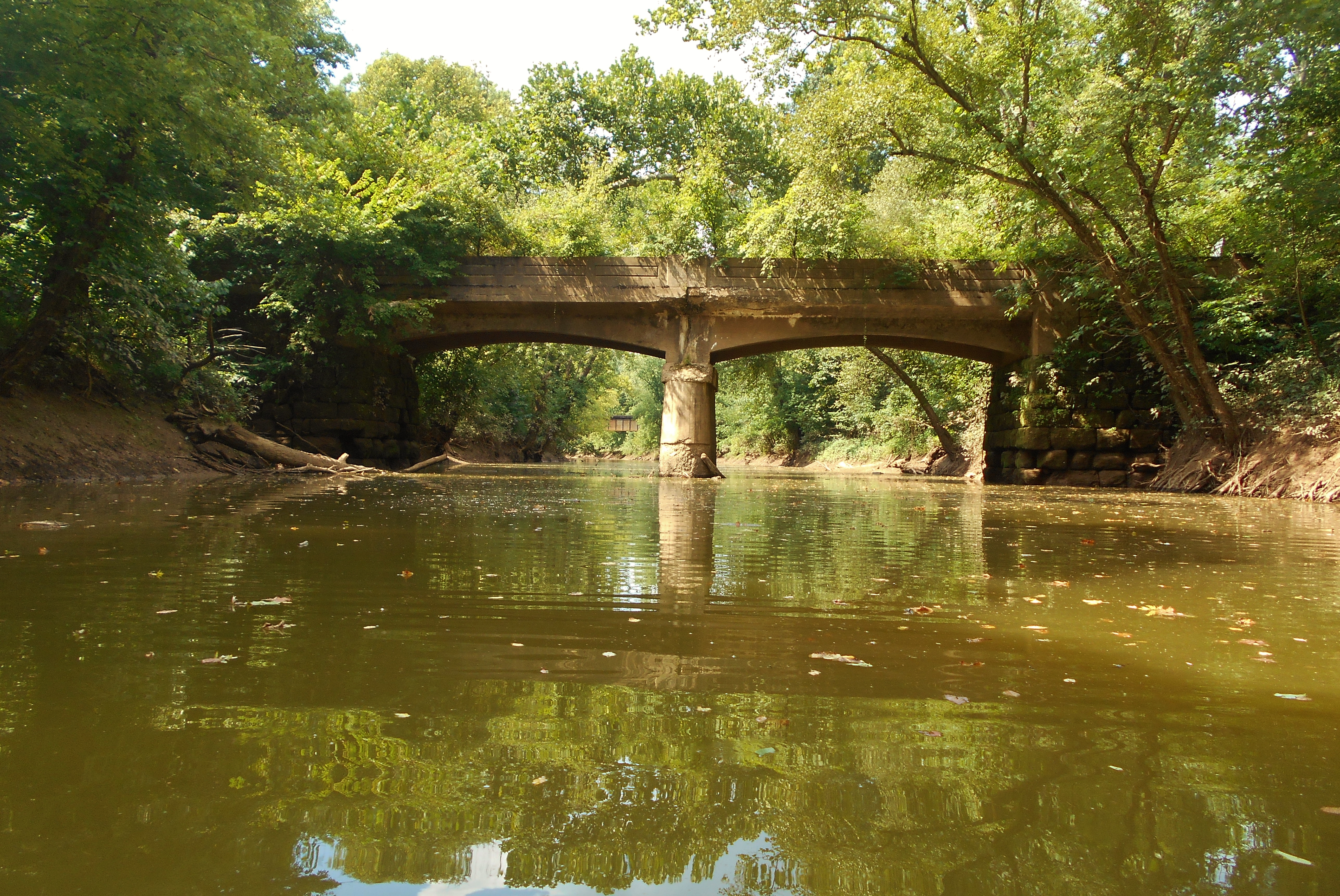
I next noticed and paddled into Bull Creek in West Virginia at mile 166, making it in about 1/2 mile. Believe it or not, in that span I passed 3 bridges. One was for a roadway and another was for a railroad. These appeared to still be in use, but the third one (below) was much older and no longer in use. I found it the most picturesque of the 3.
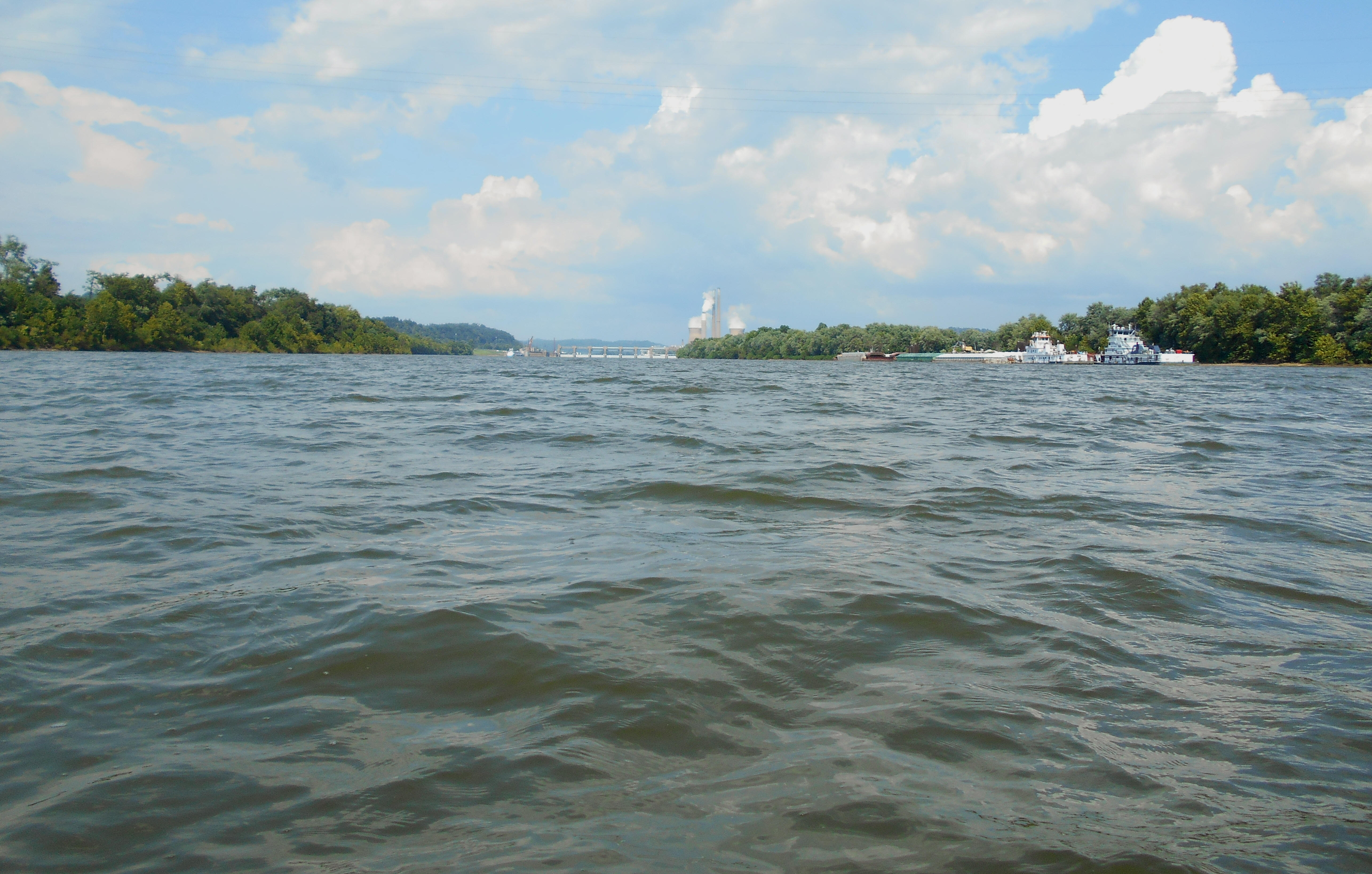
Back at the Ohio you'll notice some piers for the Cabot Company at mile 164, while at mile 163 you'll have Select Energy Services. Cabot's website indicates that they started in Pennsylvania way back in 1882. They're a producer of specialty chemicals and performance materials. Select Energy, on the other hand, operates 3 divisions as per their site: water solutions, oil field services and well site services. The photo below was taken from the Ohio side in here...
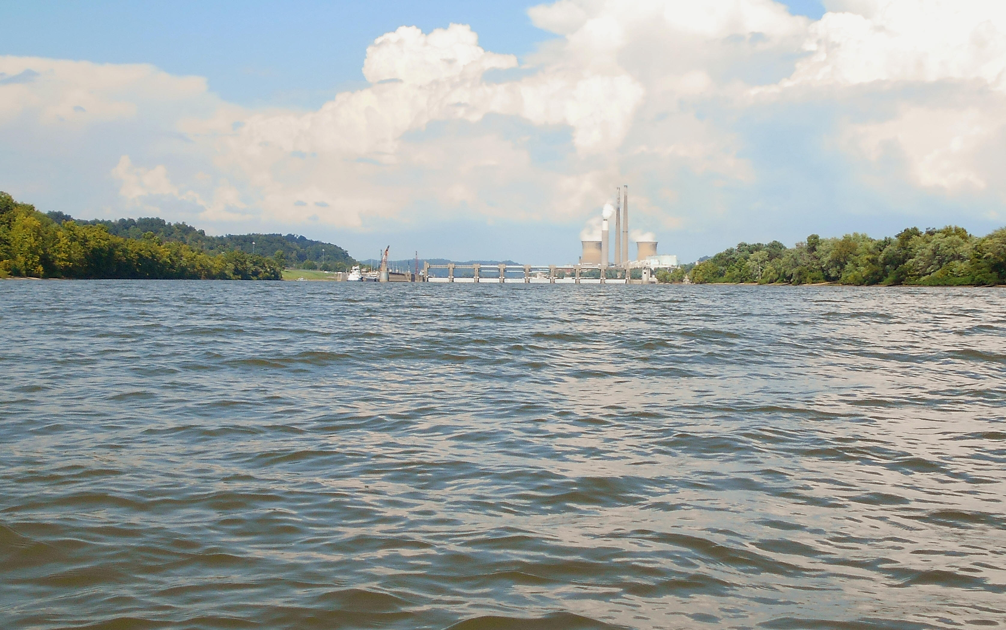
Anyway, it was well before reaching this point that I'd noted a kind of traffic jam was being borne out. Two push boats with their barges were waiting at Select Energy's docks in addition to 2 more (both Campbell Transportation vessels) which I'd passed. These were "parked" in the middle of the river with their barges angled in toward the Ohio shoreline to anchor them. A third boat was visible on my return and I'd encounter a fourth later (also a Campbell boat). Turns out, the Army Corps of Engineers had announced this past spring that the Willow Island Lock and Dam would be undergoing some repairs. Such was apparently still the case.
If you're wondering about Willow Island itself, it's up beyond the lock and dam in the next upriver pool. Cow Creek comes in at the dam on the West Virginia side too, but it's in the restricted zone so I wasn't willing to get close enough to paddle it - too risky. This is where I headed back. I did note, however, what looked to be a really gentle slope on the lock side. I don't think I'd use this as a put in, but I did find it notable.
Expect this trip to take a while if you do it in it's entirety even if you don't paddle any of the side streams. For me in a 10 foot rudderless kayak it took 9 hours. A nice, shorter trip would be to simply paddle around Marietta Island. However, as noted in the beginning please be on your guard in this pool! In fact, if you want to paddle around an island, I think you'd be much safer doing so around Middle Creek Island up in St. Mary's, West Virginia.
DIRECTIONS:
If you find your way to downtown Marietta, Ohio you've got it made! There are put in's on both sides of the river.