Ohio River
Willow Island Dam (Mile 162) to Saint Mary's, WV Boat Ramp (154.5)
July 3, 2018
Navigation Charts 175 and 176
They really have a nice riverfront park and boat ramp here in Saint Mary's, West Virginia! I think it's one of my favorites. They have just about everything you'd want including bathroom facilities. Something else St. Mary's has – a responsive auto mechanic! I'd actually come out here the day before and stopped at a gas station for supplies only to find that my electrical system was dead. Many thanks to Cottrill's Car Care!
I'll describe this trip from a “downriver, up” perspective as I usually do and start at the dam momentarily but I'd first mention that if you're in the mood for a shorter paddle you'll find an island straight ahead of you as you put in in St. Marys – Middle Island – and you can paddle around it if you want. It's 2 river miles long.
Also, if you'd rather paddle a river other than Ohio you can paddle the Middle Island Creek instead. To do this you'll want to head upriver (or to the right as you're looking down the ramp) just a little way. The creek will come in from the right. I came here about 3 years ago and found that you can spend an entire day - or more - paddling this creek alone. I got up almost 10 miles and I could have gone further.
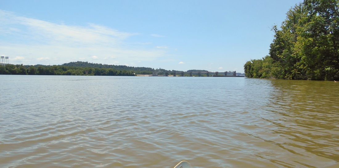
Starting at the dam now near mile 162... You can see it in the picture below... This is a close as I'll get to a lock and dam at this point, both because I've never locked through one before and because I don't want the lockmasters to be inconvenienced into thinking that I might want to lock through. I don't want them to think that they have to wait for me so I don't get too close or linger too long.
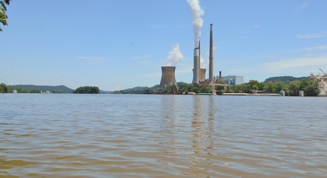
Dominating the scenery here is the First Energy's Pleasants Power Station and the many surrounding businesses that appear to support it including Cytec Industries, Allnex and Solvay among others. Zoetis is also in here but it doesn't appear to be affiliated. Zoetis is an animal health company (more about them here).
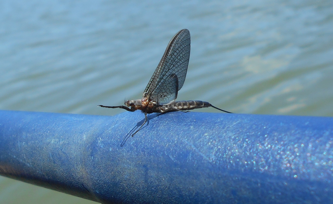
By the time I'd reached this point I'd noticed something - a ton of mayflies! They were all over the place today, yet when I came back to this section a week later they were completely gone! These things seem to arrive en masse and then they die within a few days! I recall them arriving much later in the season in previous years though. Here's a view of one...
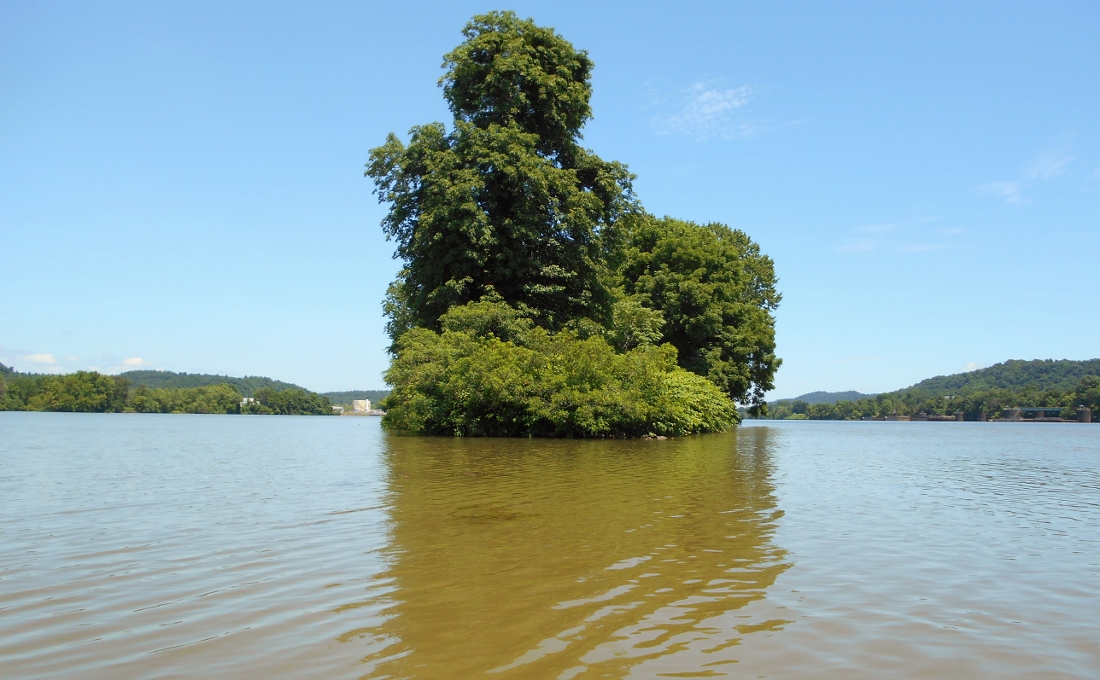
In this area you'll have a couple islands to check out. Ironically Willow Island (namesake of the lock and dam) is not one of them! The first is Eureka island. It appears around mile 160 and you can see it from the lock. Below are some scenes from around this thin island with the second picture showing Broadback Island which lies just ahead. Between these two islands (but not visible in the pictures) you'll find an Ohio Oil Gathering Facility.
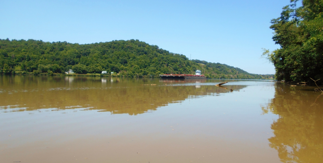
After passing the second island you'll find that Newell Run enters the river from the Ohio side. I got in around 500 yards which was about par for the side stream course in this section with the 3 that I found around these two islands all being flat water navigable for a paddler around this same distance - Newell Run, French's Run in West Virginia and Dana's Run.
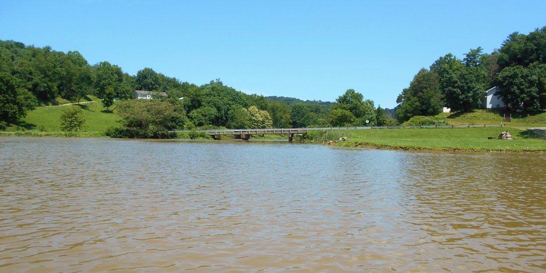
Here's a shot of Newell Run. With the bridge so close to the water they must really be hemmed in out here when it rains a lot!
Here's a shot from the mouth of French's Run. There's actually a boat ramp to your right if you go back into this stream a little so if you'd like to get out and stretch this is a good place to do it. Unfortunately I was unable to make out the name or the company of the boat in the picture below.
Here's a view from Dana's Run in Ohio...
.jpg)
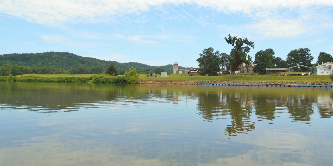
NOTE: The fantastic farmland scenery in the next photo below was tragically destroyed in 2021.
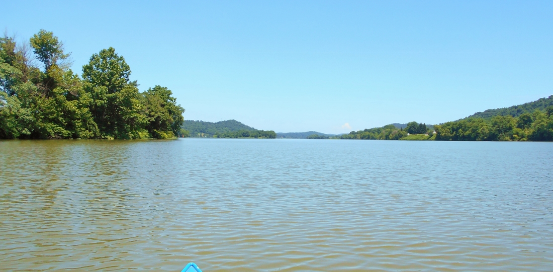
By this point you'll be able to see the bridge over the river up at St. Mary's but first you'll pass the community of Newport, Ohio on the right side at mile 156. There are a few interesting things to see here. The first is some fantastic farmland scenery around The Jug, a restaurant/ice cream shop that is a great place to stop in. They have dockings for boats and you can check them out on Facebook, but I think this view is one of the prettiest I've seen in all the miles I've travelled on the river to this point. This is greatly due to the fact that you usually can't make out the farm scenery being so low on the water in a kayak.
There's also a historical marker here that is pretty significant in terms of the river. In fact, it seems that this spot is tied to the history of the Delta Queen! You see, Captain Gordon Greene was born here in Newport. He, his wife Mary Becker Greene, and their sons were riverboat captains. Mr. Greene started the Greene Steamboat Line with just one boat. The company grew quite well and his son Tom eventually purchased the Delta Queen to add to their fleet. It's really a fantastic story. The best site I've found on the history of the company is here.
Another interesting thing just upriver from The Jug is what appears to be a very old grassy landing for the town. I understand that that's a post office just up there.
As for the bridge spanning the river at St. Mary's, its known as the Hiram Carpenter Memorial Bridge. Apparently Mr. Carpenter once ferried mail across the river near this point and he even farmed some of the river islands that I've mentioned in this journal. He was a native of St. Mary's and later in his life he was said to be instrumental in the construction of the original incarnation of this bridge. The current version was completed in 1977 and there's more about it in a nice post on Wikipedia.
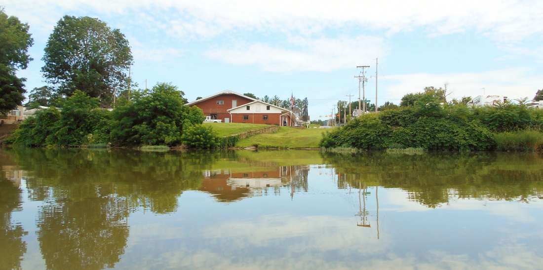
St. Marys, West Virginia is a very nice and very interesting little town. From the water you'll note that there's a ramp here but it's much easier and more spacious to put in a little further upriver at the marina/park. Still, there's a very interesting old red brick structure just to the right of the ramp that appears to be abandoned. This is unfortunate because it's an awesome looking building. Perhaps it was a hotel at one point?
.jpg)
Something else interesting about St. Mary's is a very unique old bridge (since removed and redone) which spans the channel from the community of St. Mary's over to Middle Island in the middle of the Ohio River. If there's another bridge similar to this on the Ohio I haven't seen it after about 400 miles of paddling. In fact, it looks like you can drive your car over this span although I think it might be more optimal to hike or bike over to it. I heard some kids riding bikes here when I came.
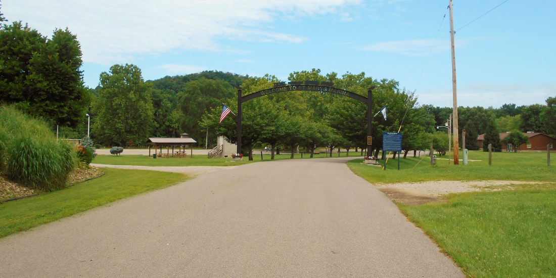
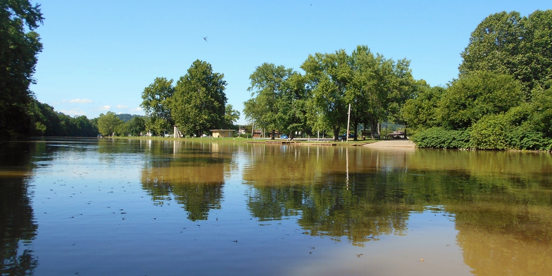
Finally, here's a look at what the marina/parks looks like. I do think you will enjoy coming here if you decide to do so. Directions are below the photo.
DIRECTIONS:
If you
check out on online map of St. Mary's you'll see that George Street intersects
with West Virginia Route 2. There's a traffic light here. You'll
want to head northwest for 4 blocks to a point where you'll see the bridge I
mentioned going over the water to the island ahead of you. Take a right
here on Riverside Drive and head northeast. You'll starts seeing signs for
the park and marina which is only a few blocks away.