.jpg)
Ohio River
Hannibal Lock and Dam (Mile 126.5) to Clarington, OH (Mile 118)
July 2018
Navigation Charts 187, 188 and 189
This section of the Ohio River is very industrial with a lot of energy related traffic. There are actually 3 facilities with operations that run a full mile of riverfront (Ormet, Bayer and Axiall (formerly Pittsburgh Plate Glass or PPG). Still, one of the side streams out here (Opossum Creek at mile 120) is one the prettiest I've seen in terms of the diversity of plant life.
Today I used the ramp in Clarington, Ohio. This is the only one in this section. It's fairly nice but I've not used it in the past because there's not a whole lot of room here. I would also not recommend coming to this one on your own. I'd come with a friend.
If you're not interested in paddling this entire section you could instead have a very nice shorter trip by putting in here and paddling the side streams that are fairly close to the ramp - the Sunfish and Opossum Creeks. This way you could avoid all the industrial activity while still being able to enjoy some of the best sights this section has to offer.
On the other hand, if you're heading upriver from the Hannibal Lock and Dam at mile 126.5 you'll have New Martinsville, West Virginia on your right side and Hannibal, Ohio on your left. Hannibal is a small community of fewer than 500 while New Martinsville is much larger with a government website here that covers a little of the history of this community. As far as pictures I wasn't able to get many good ones with the sky so overcast today, yet I think that the best views of the town are found in the section below the lock and dam where you can see the Wetzel County Courthouse of New Martinsville from the water.
At any rate, below are some photo's from around the area of Hannibal Lock and Dam. That's the A B York of Florida Marine (more about the company here) in both pictures as it first comes through the lock and then heads upriver in the direction I'll be describing from here on.
.jpg)
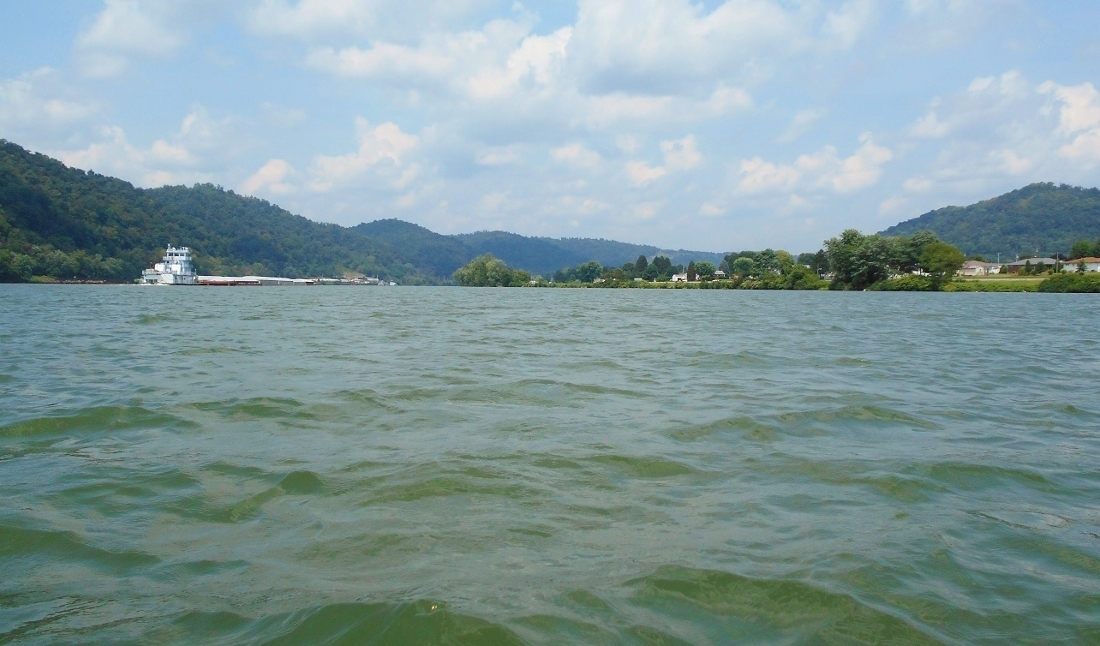
...and here's a perspective of exactly what it looks like for a paddler when you near a lock and dam from the middle of the river. Yes, it's a little intimidating and I wouldn't have gotten this close had not the wind been pushing the water upstream at a pretty good clip. I normally would not have gotten this close. On a side note the facility you see on the left is, according to the charts, Arrow Concrete (more on Arrow here). Arrow is actually headquartered in Connecticut but they have an operation here.
.jpg)
Heading upriver now near mile 125 you'll find an interesting location in Ohio where I found 3 push boats docked near a spot the charts refer to as Dock Side Inc.. One of these was named the Chelsea. This one was interesting. It had a really cool looking logo with "GSMT" on it, yet I had a hard time finding more info at first. Eventually Dick's Towboat Gallery came to the rescue again. This boat is owned by Gulf South Marine Transportation based in New Orleans. I sure am seeing a lot more companies on the river this year and a lot more appear to be based down near New Orleans!
There was a second boat here too called the Charlotte Klee based in Pittsburgh but that was all I could find. A third vessel I couldn't catch the name of at all, yet this was definitely an interesting spot and it was right below the Hannibal Garden Center. Meanwhile, on the other side in West Virginia, you'll find another business along with a campground. Both appear to be affiliated with the name Litman. You can find the campground on Facebook.
.jpg)
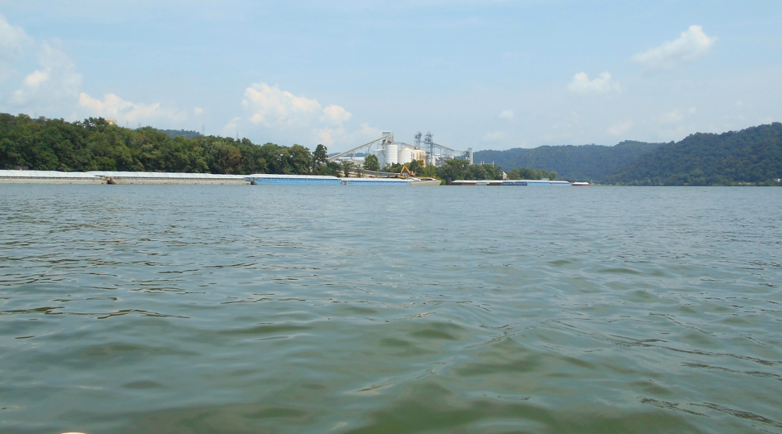
Closer to mile 124 you'll find two incoming streams on the map, neither of which I was able to get in and explore. For that matter you'll find quite a few little streams in this section and more so than I can recall in the past. Very few are navigable, however. Also of note at this point is the first of those mile-long facilities I mentioned at the beginning. According to the charts this first one is Ormet. I didn't realize it until researching but this former aluminum production company closed it's facility here when it went bankrupt in 2014. No wonder I could barely read the "Ormet" on this sign. As I passed I couldn't help but thinking they needed some new paint. Now I know why. As of this year, however, plans are underway to convert this site to a power plant. Today it didn't look like there was anything transitional about it, however. There was quite a lot of activity here and I paddled on the opposite side of the river.
Once you've passed this facility you'll come upon Haynes Run in West Virginia and another side stream I mentioned in Ohio. The first picture below was taken looking downriver at Haynes Run. That's the D A Grimm of Campbell Transportation you see. I ended up following them all the way down to the dam earlier in the day. Campbell is located up in Houston, Pennsylvania. The second picture was taken looking into the mouth of the stream on the Ohio side.
.jpg)
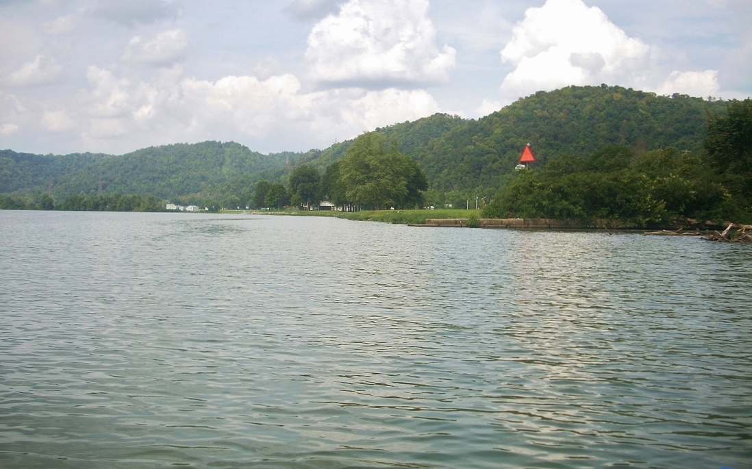
By now you'll have been able to spot the community of Proctor, West Virginia and Proctor Creek at the point of a light and day marker at mile 122. Here you'll find what would probably be the nicest place to put in in this section, were that possible. There's a park here which might be private. As I look at a map I see that this is the location of Spieler's Club which can be found on Facebook. They don't have a ramp but they do have a little dock and the point of land here is low enough to make for an easy put in. I'm not sure you'd be allowed to do it though. In any case it's a pleasant spot.
I wanted to paddle back into Proctor Creek but after seeing construction cranes on either side of the stream just past West Virginia Route 2 I decided against it. They must have been working on the bridge. Dry Run comes in here too, though, and you can paddle back into this one a little way. It actually corkscrews back and comes to a dead end near a power pole.
As you paddle around in here you'll notice that Proctor is a town which is quite low lying. they must have yearly issues here with the spring rains. Below is a shot of the entrance to Dry Run...
.jpg)
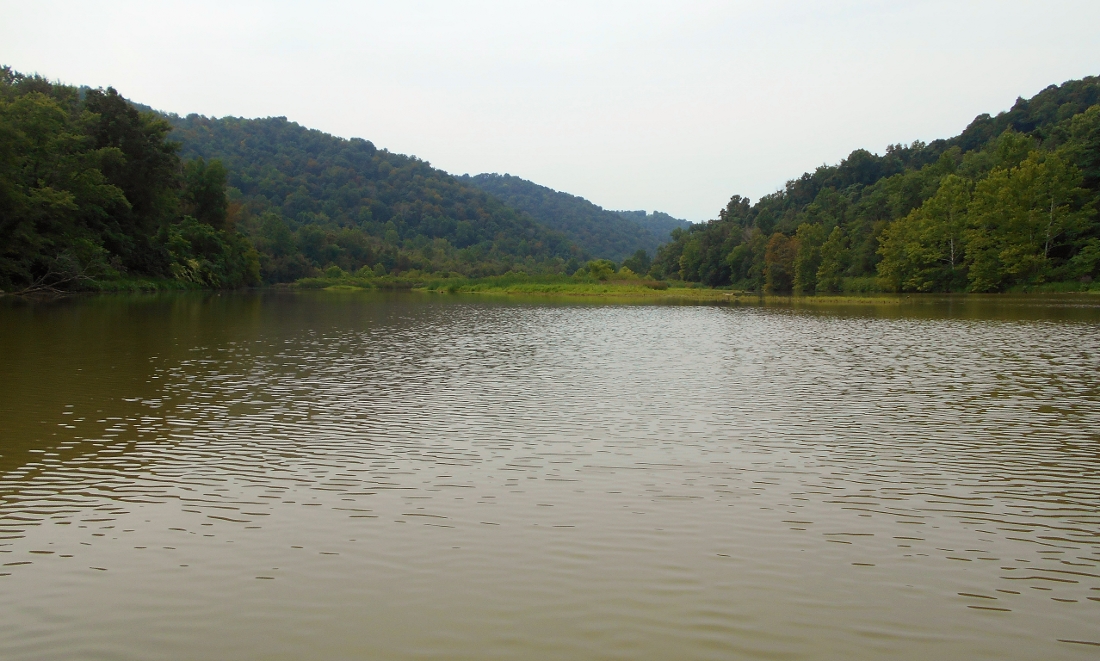
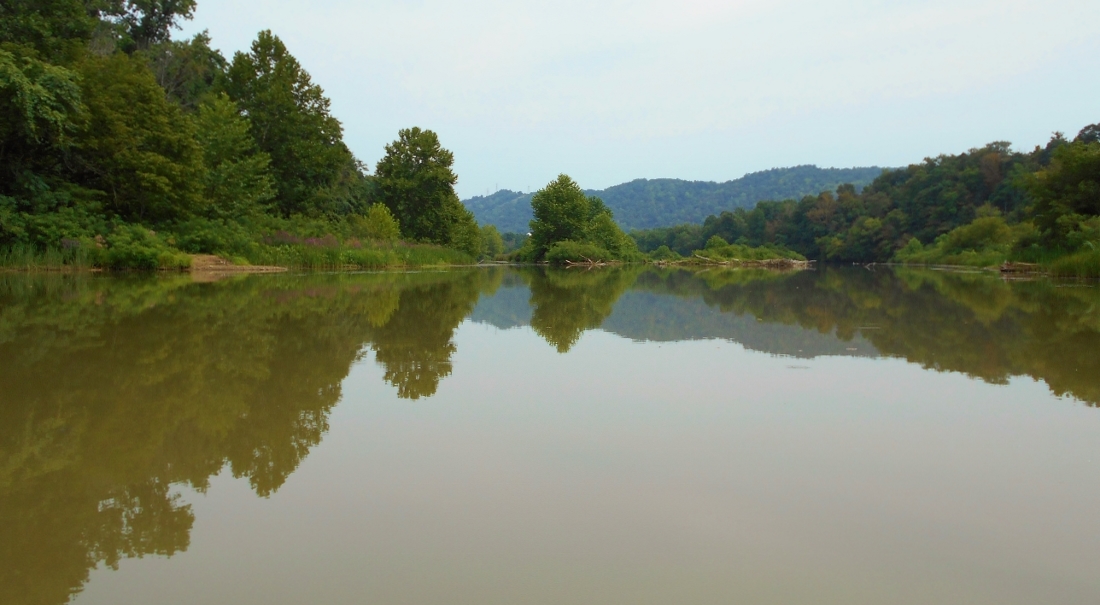
What follows here is a straight stretch of nearly 4 miles. The picture below will give you something of a perspective of this area with 2 more mile-long facilities on your right and Clarington, Ohio way down there at the end. Covestro which used to be Bayer Material Science) comes first and another mile later comes Westlake Chemical (formerly Axiall). Between these you'll find Opossum Creek on the left at about mile 120.

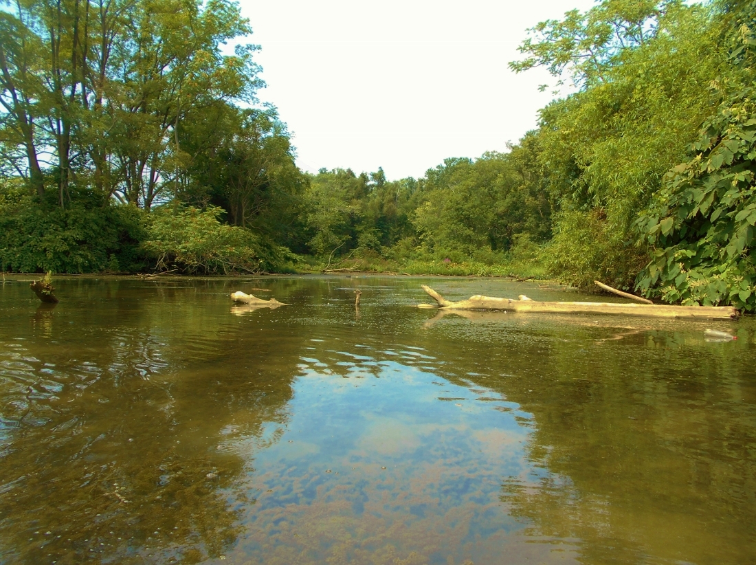
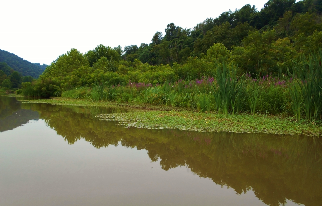
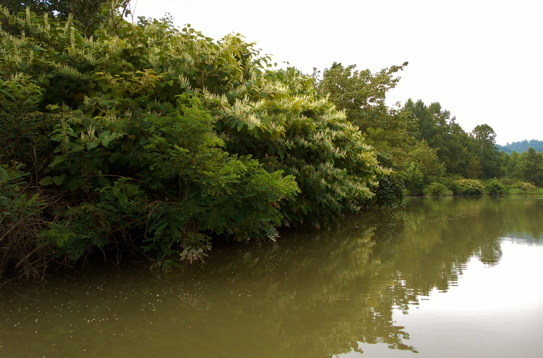
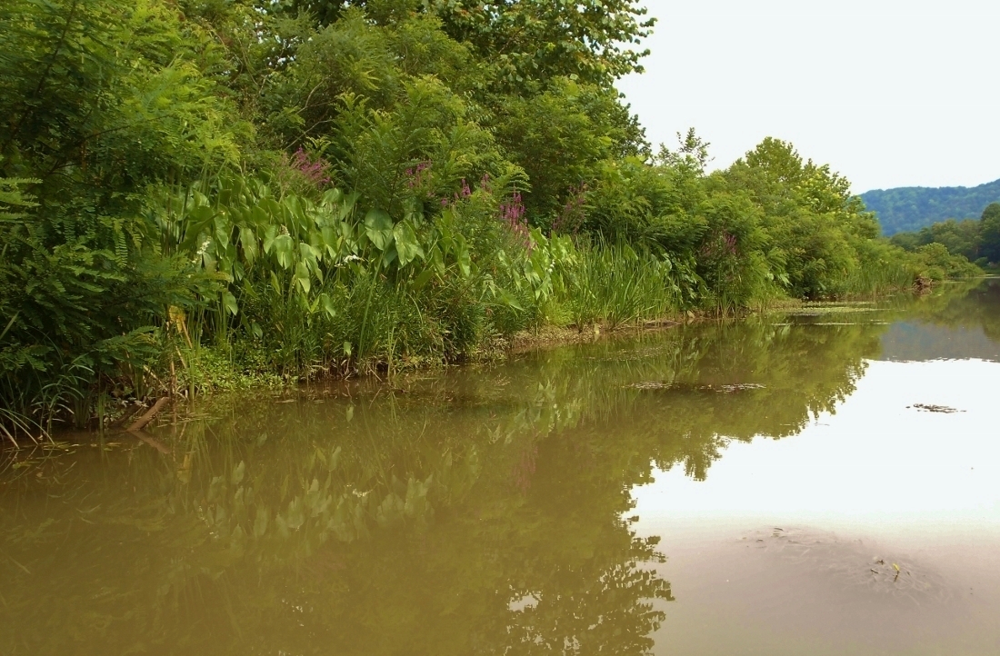
Let's talk about Opossum Creek! I've taken a lot of pictures of this one because I really found it to be quite pleasant. You might be able to get into this stream a little less than a mile at which point you'll find what amounts to a roadside put in over a rocky shoal. I got a couple shocks in here. You see, as I was coming to a shoreline clearing in which there was a little fishing access point I discovered a gentleman coming down to fish at the selfsame instant I was snapping a picture. Later I got a second shock when I found that this same gentleman was behind me in his own fishing kayak! Rarely do I encounter people when I'm out on the water because I paddle on weekdays. This was a rarity indeed. Below are some perspectives from this beautiful creek.
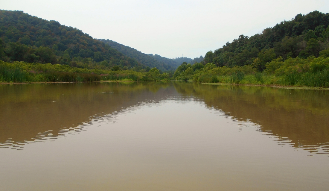
This last picture was taken looking upriver with Westlake Chemical/Axiall ahead of you. I couldn't make out the name of the push boat.
.jpg)
Getting closer to Clarington I encountered yet another push boat (as I recall I saw about 6 today). Below is the Karen Ann of LeBeouf Brothers Towing Company down in Houma, Louisiana - another company that I've encountered on the Ohio for this first time based down near New Orleans. More about LeBeouf here. The company has been around since the 1940s.
.jpg)
Clarington, Ohio is at mile 118 at the mouth of Sunfish Creek. According to a nice Wikipedia write-up Clarington used to be a prominent river town where many ships were built by a company called Mozena Brothers. When I looked up the name I found a picture of the brothers in - of all places the - University of Wisconsin/Madison library (and I might add that I'm proud to have once worked for the university's Platteville campus). Anyway, I'm not sure how long the picture will be posted but you can check it out here. Also in Clarington you'll find the Ohio Valley River Museum with more info here.
The ramp I used today is just past the bridge at the mouth of Sunfish Creek. I didn't have the time to explore the creek today. I'll do it on the next trip. Directions follow....
DIRECTIONS:
My best advice is to pull up an online map of Clarington, Ohio. The town is right off Ohio Route 7 alongside the river. Route 78 (or Main Street) dead ends into Route 7 so you can only go one way. Go one block and make a left onto Market street. The road will dead end at the ramp about a block down.