.jpg)
Ohio River
Clarington, OH (Mile 118) to Fish Creek (Mile 114)
July 2018
Navigation Charts 189 190 and 191
This is a 4 mile section of the Ohio River but you'll find that Sunfish Creek in Clarington, Ohio goes back about 3 miles and that Fish Creek (which enters on the West Virginia side) goes back about 4. You've got plenty of paddling to enjoy! This journal covers both the Ohio River section and Sunfish Creek (I'll cover Fish Creek as part of the next upriver journal).
The put-in I used today is at the mouth of the Fish Creek where it meets the Ohio and this is a really interesting entry point! It actually reminded me of a put in I used in Potosi, Wisconsin on the Mississippi River once because you access it by going underneath 2 bridges as you pass directly beside the stream. However, this access point is a little "out there" so I'd lean toward coming with a friend instead of coming alone. Something else I only just noticed as I'm composing this - this spot is apparently one end of a hiking path know as Warrior Trail (website here) which extends from here to Greensboro, Pennsylania - 67 miles.
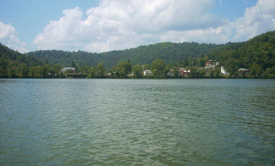
I'll begin my river narrative at the furthest downriver point like I usually do, and in this case that was the communitity of Clarington, Ohio at mile 118. Sunfish Creek comes in directly beside town (population around 400) and below are some pictures. It was a strange day for photos though. The sun was either out full force or it was almost completely blocked by clouds. You'll have to come out and get some better shots! :) Clarington actually has a river museum (website here) and the town was also something of shipbuilding hub until the 1920's. A company called Mozena Brothers was headquartered here. I don't know how long it'll be up, but the University of Wisconsin of all places has a picture of the Mozena brothers and their crew here.
.jpg)
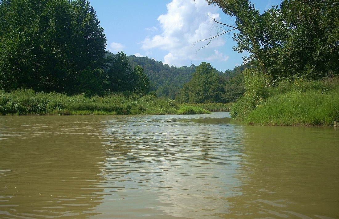
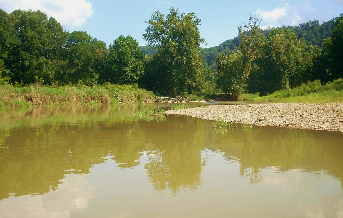
From here I paddled into Sunfish Creek, where I passed the put-in I'd used on my last trip. It's just inside the mouth on the right side. There are some pretty scenes as you go further back into this stream. As mentioned, you can meander the slack water for about 3 miles before it gets too shallow.
By the way, you'll note that I insert fairly large photos into these journals. I do this in order to put you right in the boat in my place. With large pictures you're immersed in the scene as I was, seeing things almost exactly as I saw them. I'd love for this to be beneficial to those who might like to see what an experience is like, but perhaps due to age or infirmity are not able to do so.
.jpg)
%20(2).jpg)
.jpg)
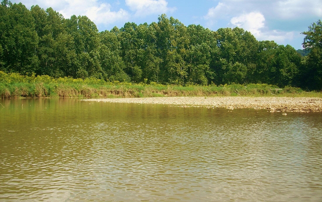
When you get to the back of the stream you'll find that it splits but that you'll run in basically the same direction either way you go. It's really pretty back here...
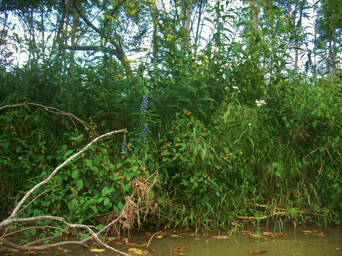
Finally, here are some pictures of what things looked like as I paddled out. Of course, I had to dedicate one to the foliage. :) There are 3 colors of wildflowers in here!
I really enjoyed paddling this stream but I'll tell you something about geese... I used to like them. They really can be funny birds, but I now find them a nuisance because there are so many of them. This stream was littered with their excrement floating around the entrance.
Back to the Ohio River! Once I'd returned to the mouth of Sunfish Creek at mile 118, I saw a pushboat headed upriver that I just missed. I couldn't make out the name...
.jpg)
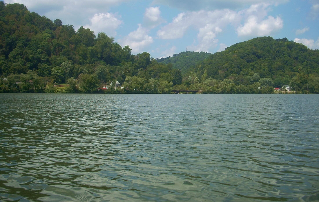
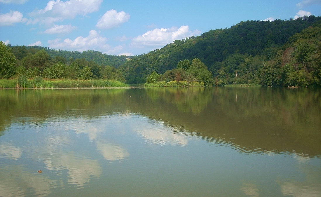
Anyway, as you begin to make a right curve in the river from here, you'll have 3 little streams come in within the next couple miles. Two of these come in on the Ohio side - Gardner Run and Stillwell Run - with one in West Virginia, Sims Run. Only Stillwell was somewhat navigable at mile 116. Route 7 is by your side in Ohio with Route 2 in West Virginia running by the small community of Wells Bottom. This is a peaceful section where you'll experience scenes like the ones below...
.jpg)
.jpg)
.jpg)
I had a couple more pushboats pass me in succession here, going downstream. One of them was the one you see in the photo above near Sims Run. A name, "Pride" was all I could catch. I didn't notice a company affiliation but it passed me again later in the day. Perhaps belongs to a local operation? The other, the Alan P. Hall from Amherst Madison passed afterwards at the mouth of Stillhouse Run. Stillhouse was a pleasant little stream into which I got in a little way...
.jpg)
.jpg)
.jpg)
You're going to start veering left from mile 116, and today I noticed what must have been a fairly large operation at one time on the Ohio side. The location is apparently idle now, but it looks like it used to belong to a company called Quarto Mining. Later, at mile 115, a stream (Coal Run) comes in and here you get a great, wide open view of the landscape ahead. The power plant that you see up there - Mitchell Power Plant - is operated by American Electric Power (AEP).
.jpg)
Then at mile 114.5 you have businesses on either side of the river. The charts indicate that Columbiana Chemicals is on the West Virginia side, although I can't find any information about the business. There's also an operation in Ohio that was quite busy today, yet it's not on the charts and there's no indication as to what it is on the online maps. I'll try to get a name when I pass by it on the road the next time I come out.
The take out point for this trip - Fish Creek - is just up ahead at mile 114. It's just to the right of the island you see in the photo below. That is to say, Fish Creek enters the Ohio up there on the right and the ramp is just inside the mouth. You can't miss it.
.jpg)
DIRECTIONS:
This put-in is off Route 2 in West Virginia just below Moundsville. More specifically, you access it off of Woodland Road. From a water perspective, it's at the point where Fish Creek meets the Ohio River in West Virginia and the ramp is just inside the mouth of the creek on the right side. Also, if you look on a map it's just across the Ohio River from Sunfish Creek State Forest in Ohio. Shorter version... Just type "warrior trail moundsville wv" into Google Maps. :)