Stockport isn't what you'd call "strightforward" to get to. You'll really wind your way in through farmland whichever way you go to get here - but that's not necessarily a bad thing. As an example, I drove in through Churchtown from Marietta and found the community to be very picturesque along with the farms that surrounded it...
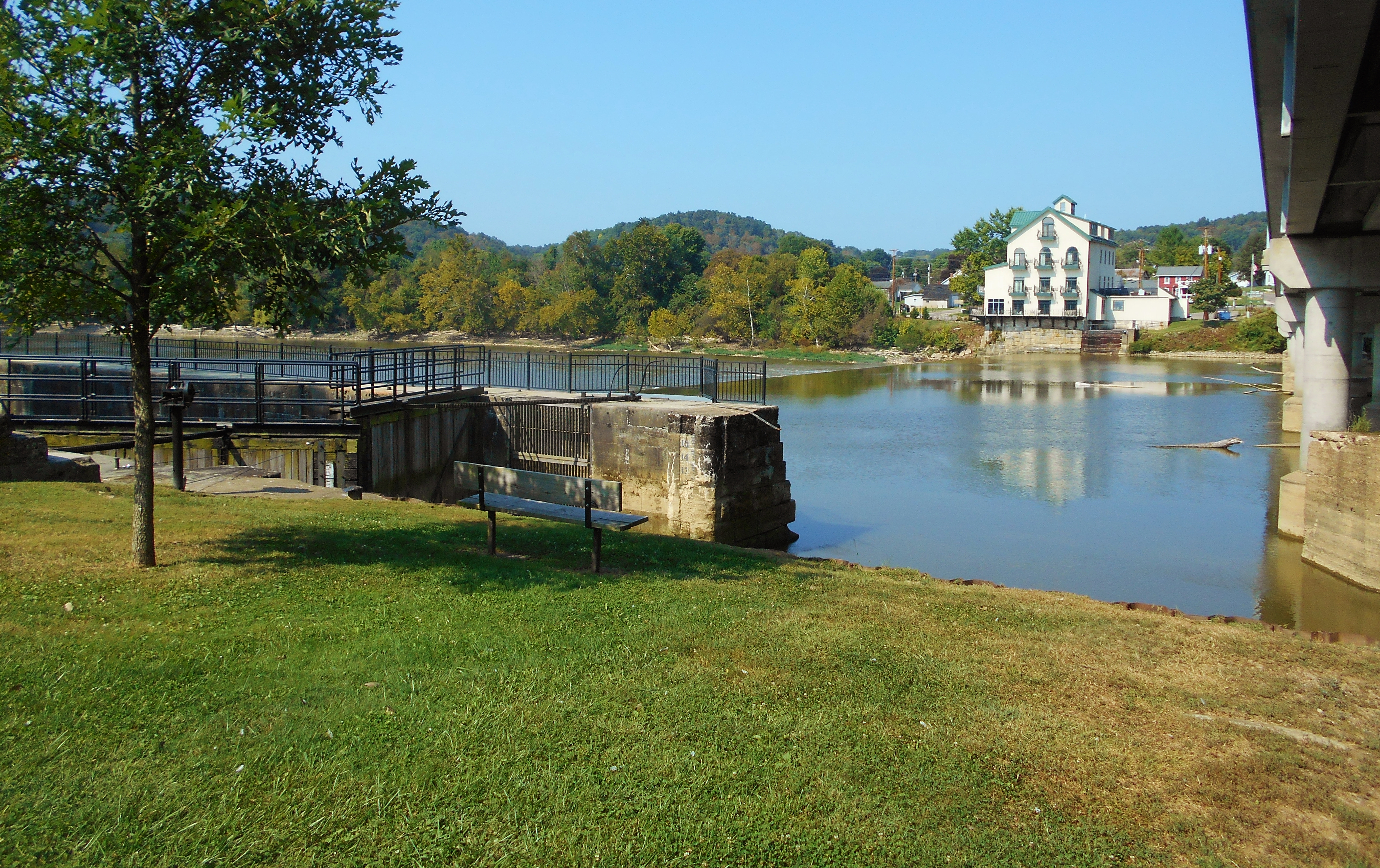
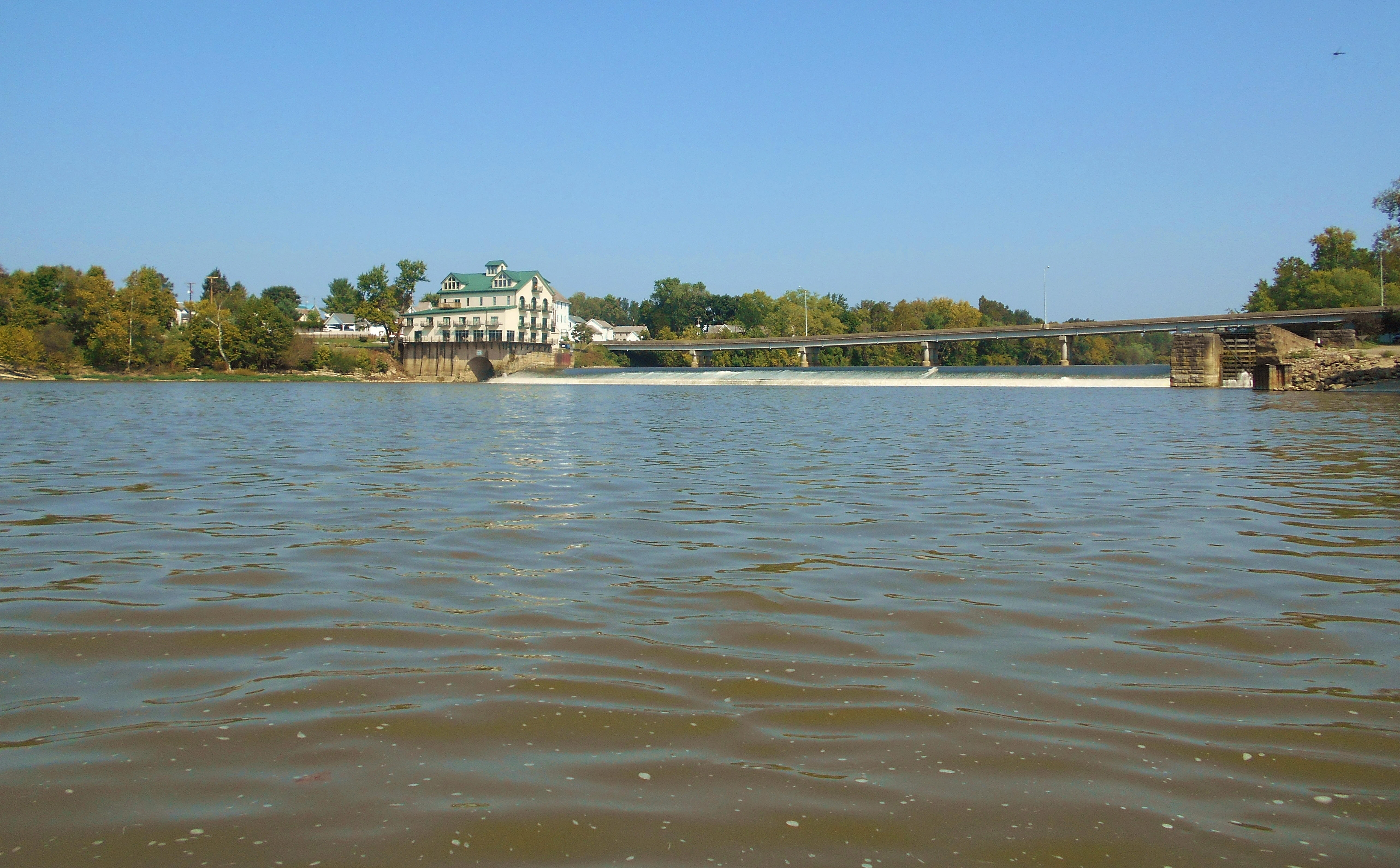
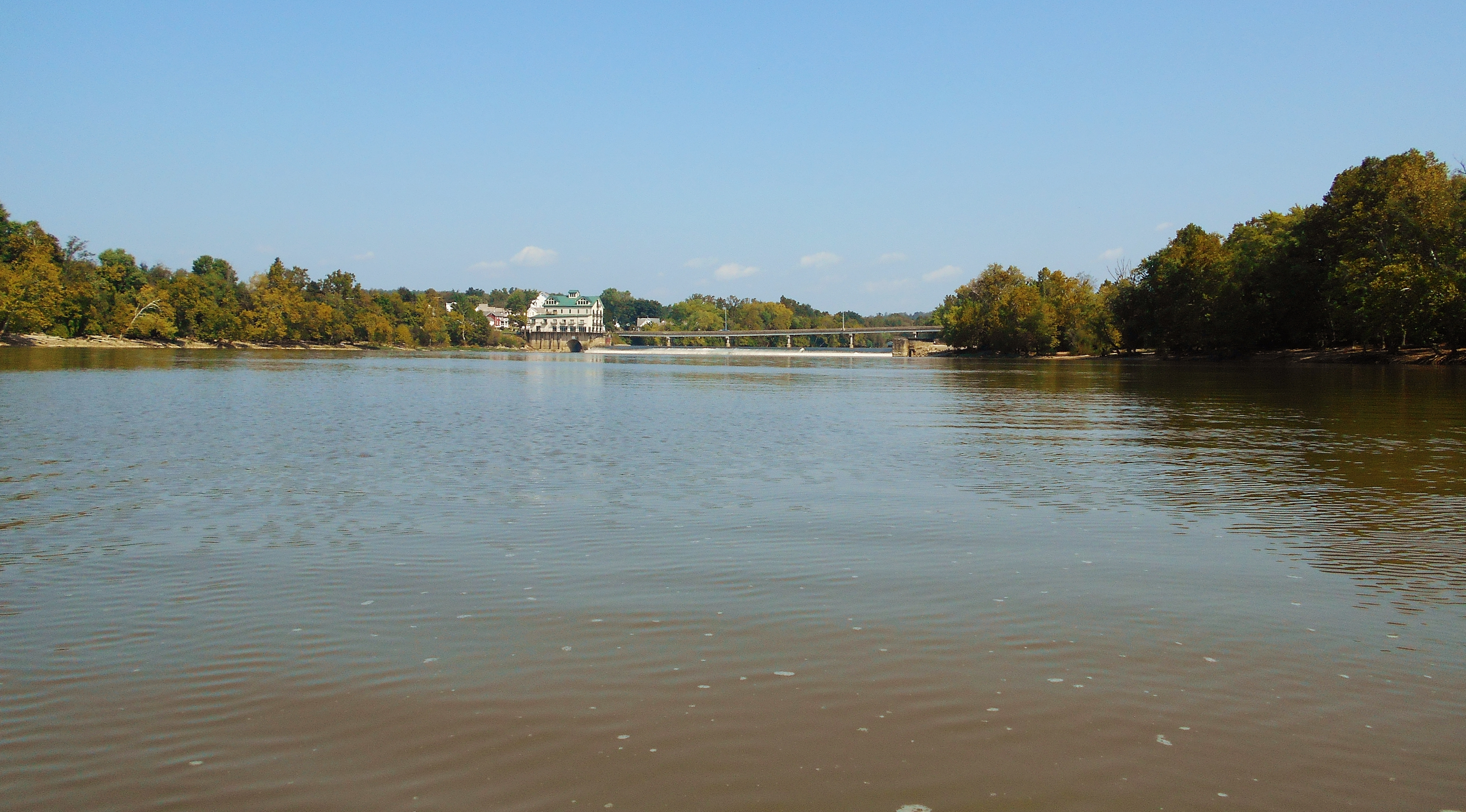
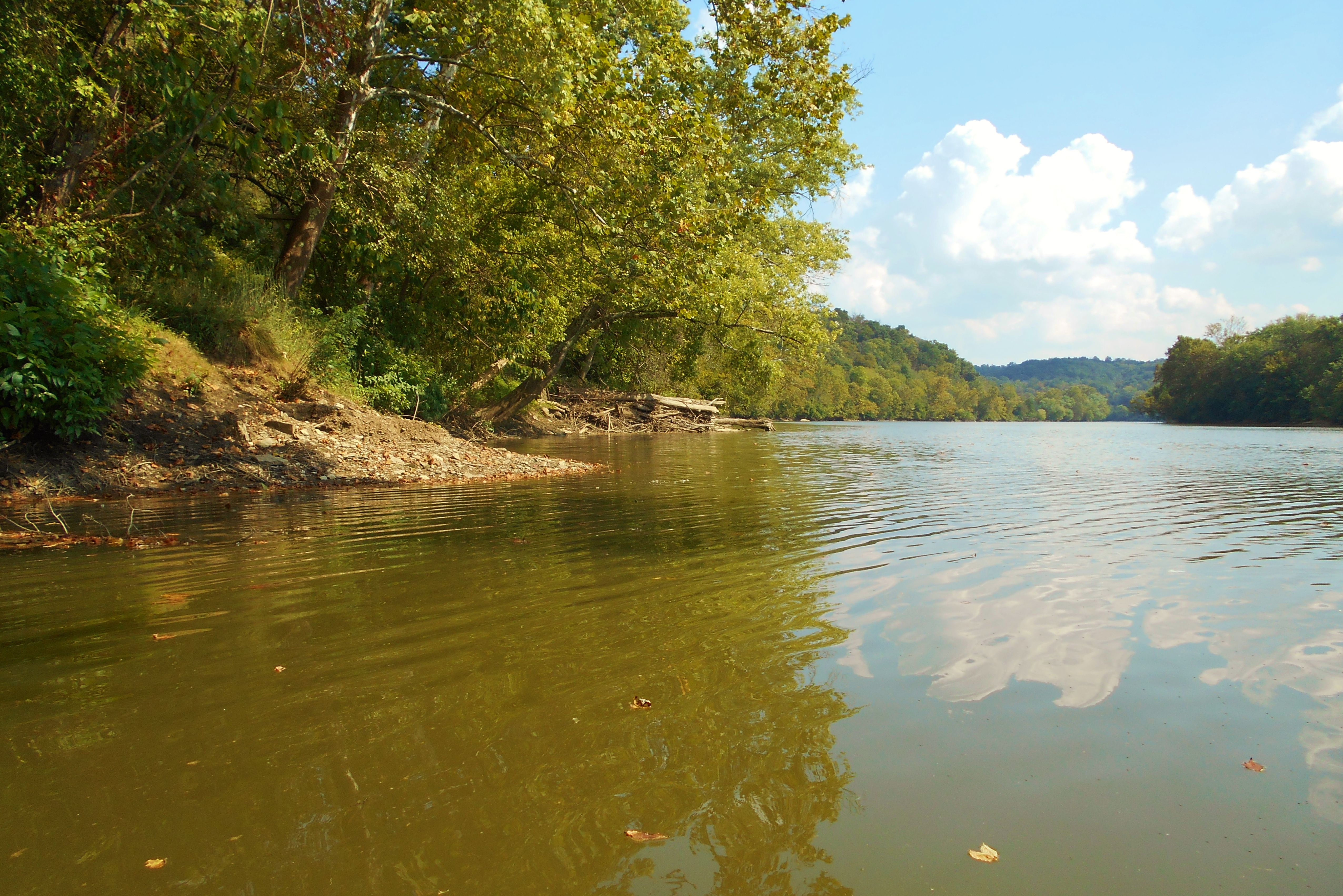
Later, when I arrived in Stockport, I found it to be an absolutely beautiful place from which to put in! The only public ramp between dams 6 and 5 is here, and this was the first ramp I'd seen that actually looked like it was part of the lock and dam facility itself. Usually ramps are a good distance away. This one is a little hidden on the online satellite maps, but I can assure you it's there. Below are some of the scenes that will greet you upon your arrival and these looked almost European to me.
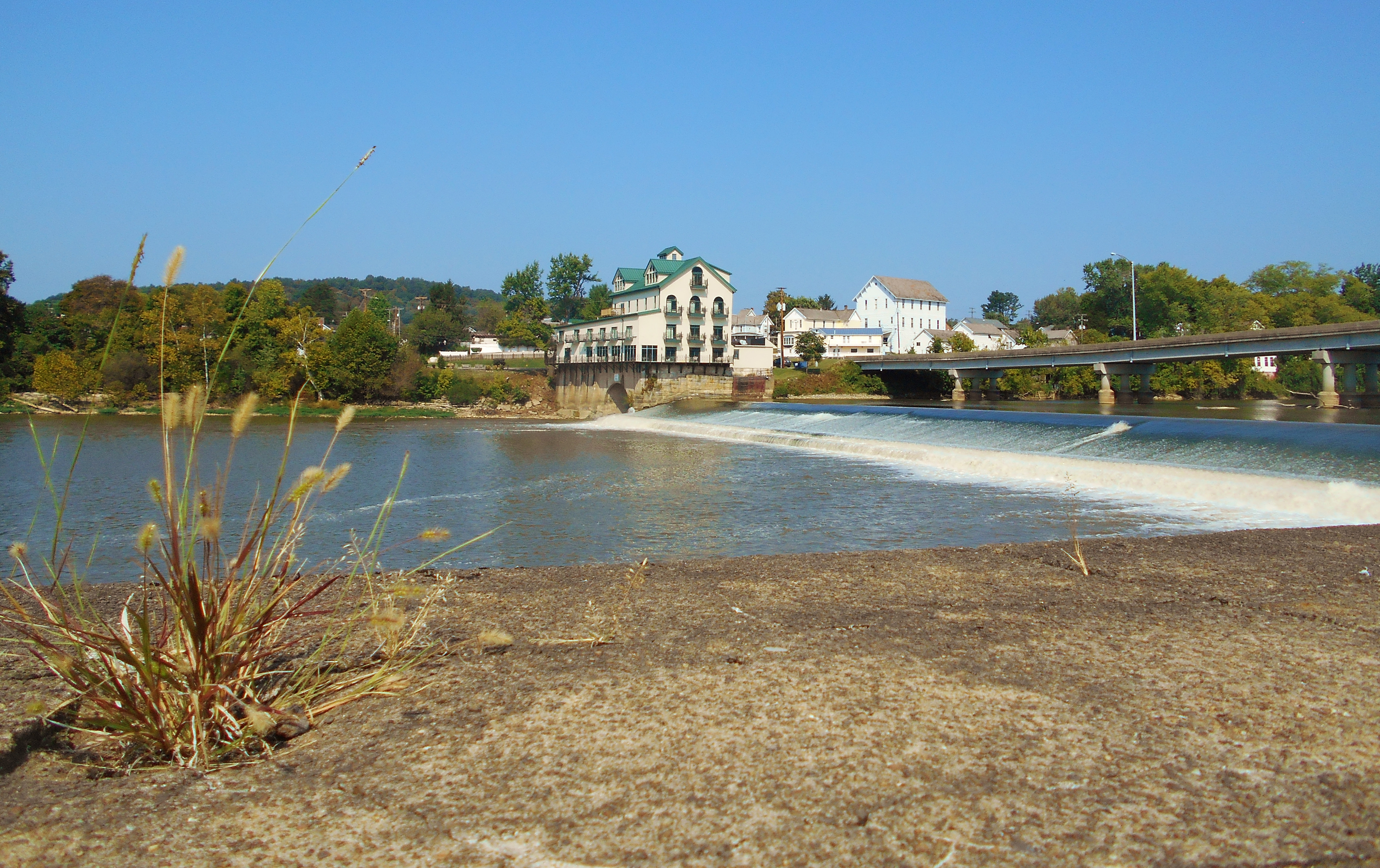
The complex you see down by the water is the Stockport Mill Inn. According to the website this is both a restaurant and a place to stay. The structure itself has been here since 1906 and the location is that of the last remaining mill on the Muskingham River - a mill which had operated from 1842 to 1997. While I didn't have the time to do it today, Stockport looks like it would be a pleasant place to just walk around. In fact, the Buckeye Trail supposedly runs in here too, although I didn't see signs for it today.
As for this section of the Muskingham, it spans about 6 miles as per the guide linked above and it nearly forms the shape of a "W" with the stretch I'm describing today forming most of that letter. You'll be paddling exactly as if you were drawing the letter and, like most of the other spans of this river, you'll pass by quite a few beautiful farms that at most times you can't fully see. I'd find one exception today.
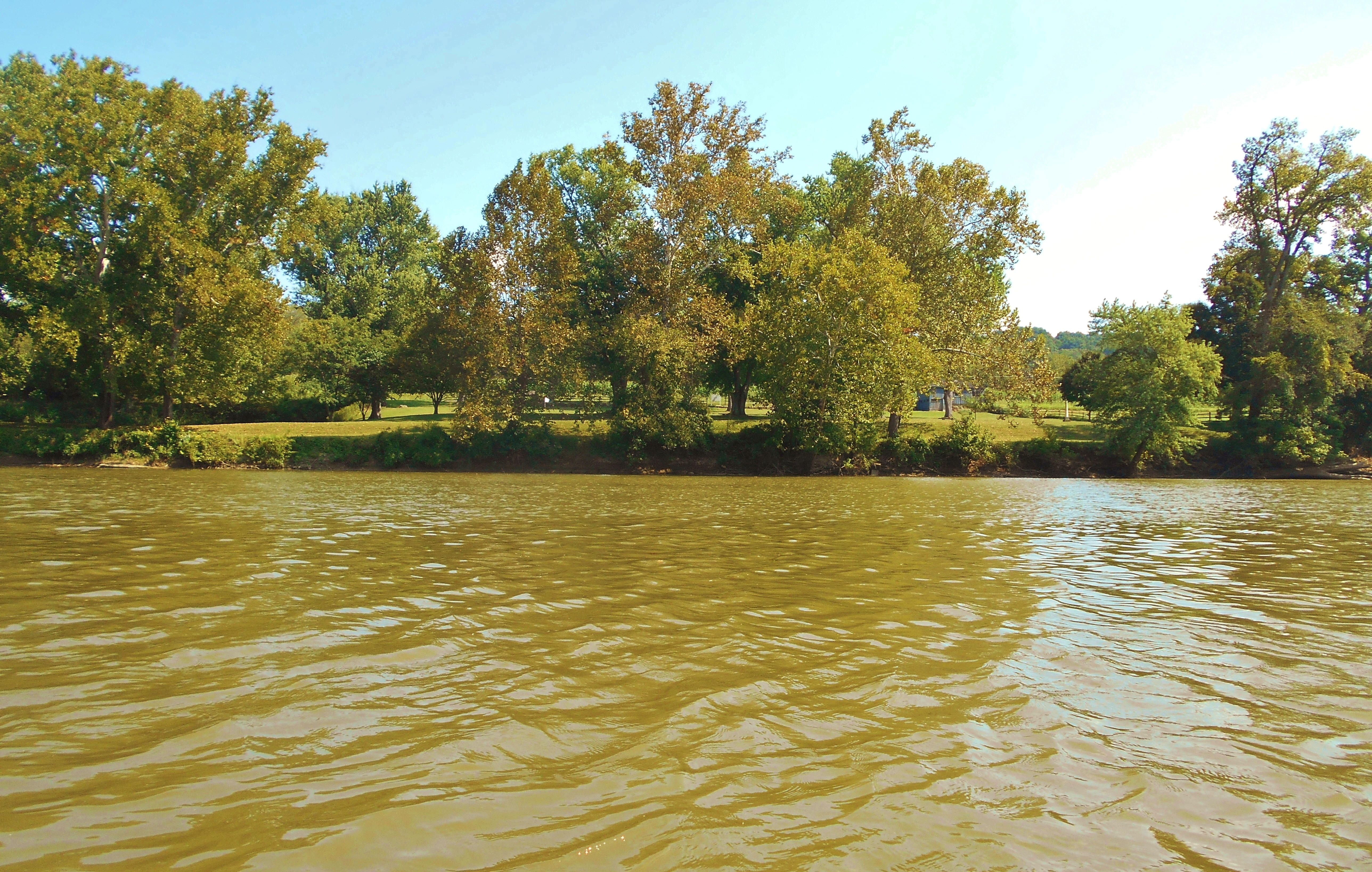
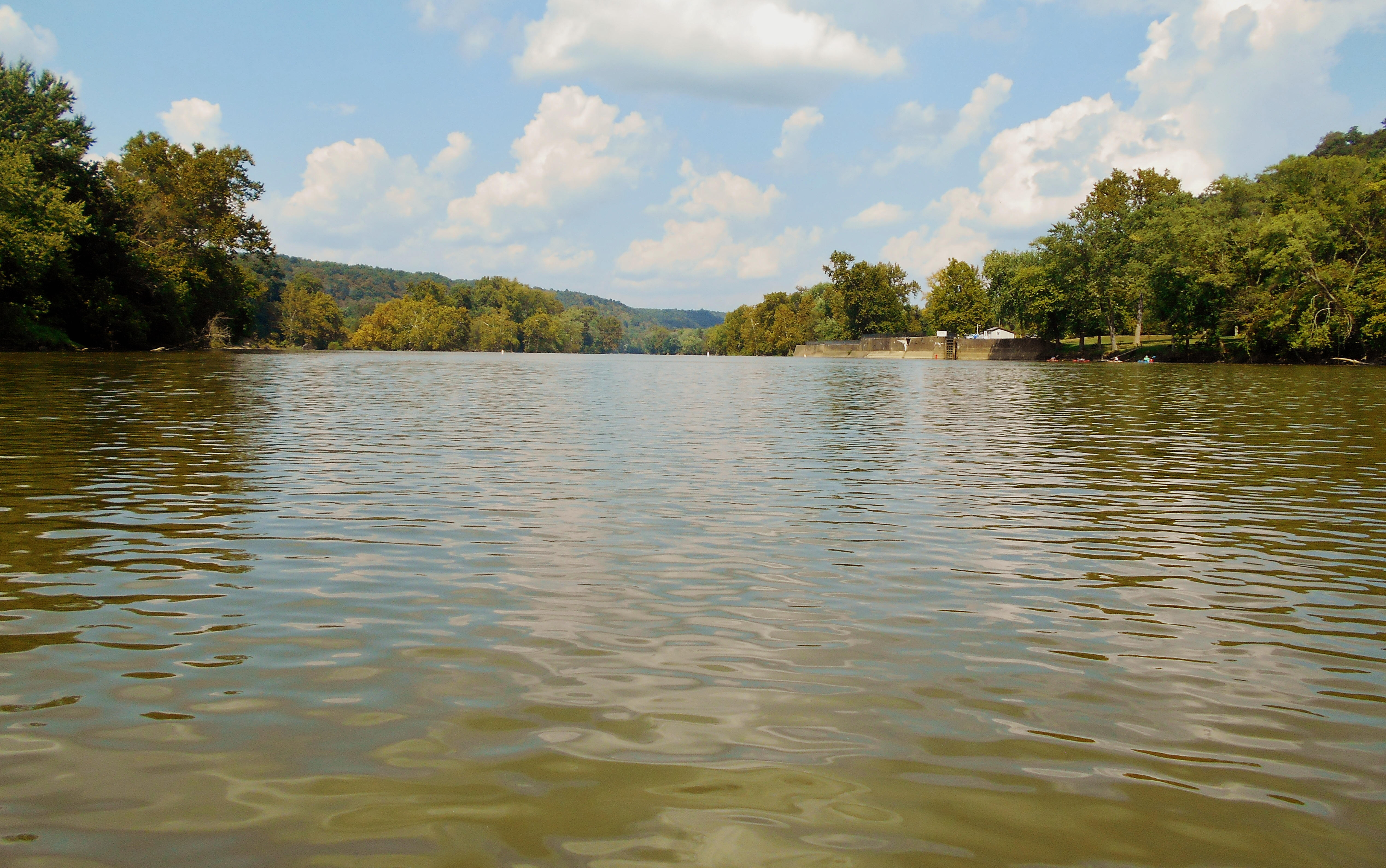
Anyway, starting your paddle downstream from dam 6 you'll notice some pretty nice beaches on either side of the river as you make a left curve to begin before entering a straight section of about 2 miles. You'll pass by the Big Bottom State Memorial Park on the left in here about a mile down (in the third picture) and I found this to be an incredibly peaceful little park. Sadly, however, it was the site of an Indian attack on white settlers in 1791. You could put in here - you'd just have to carry your boat through some vegetation. After the park and nearing the end of the straight you'll have a row of houses on your left with a private ramp for a pretty farm on the right.
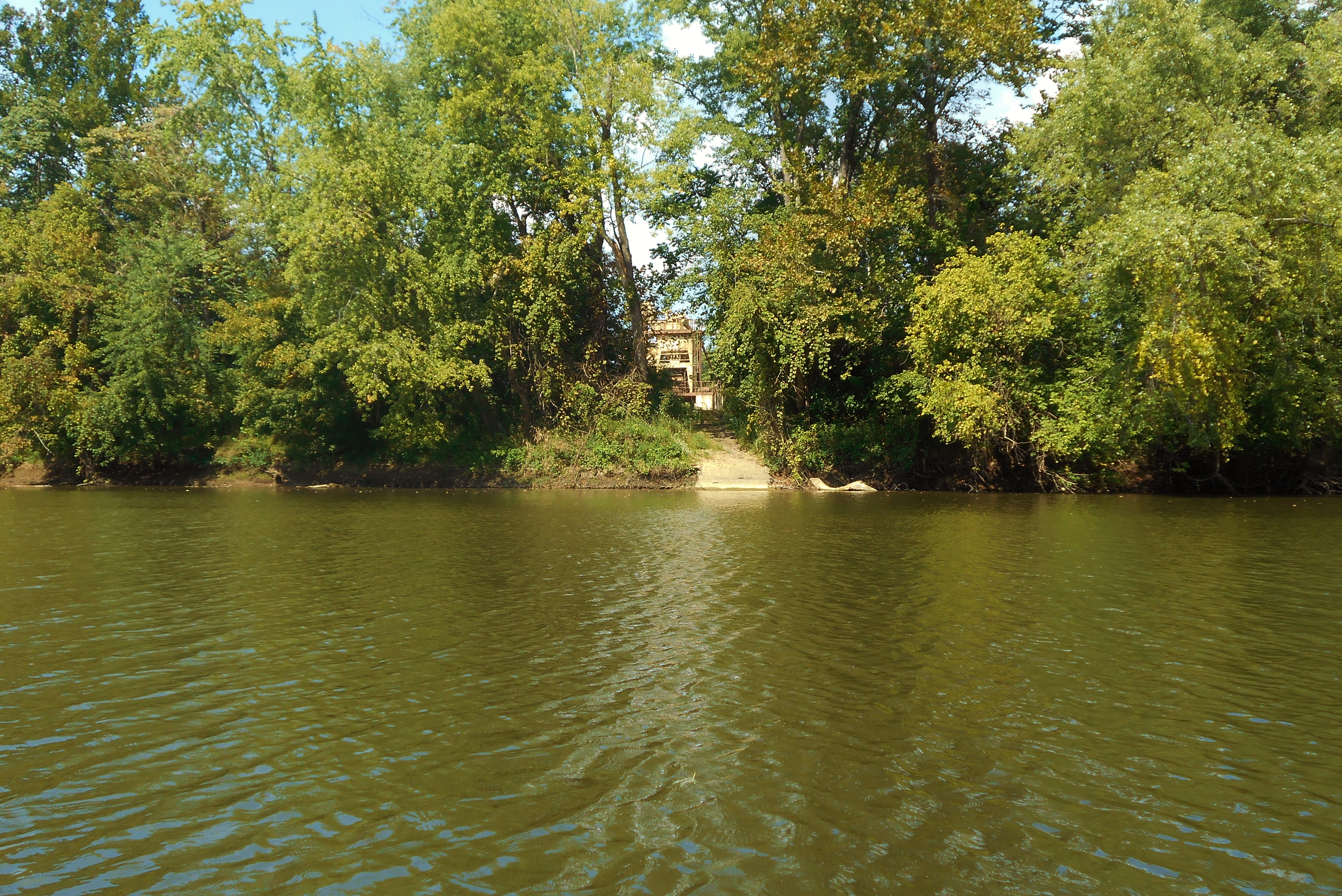
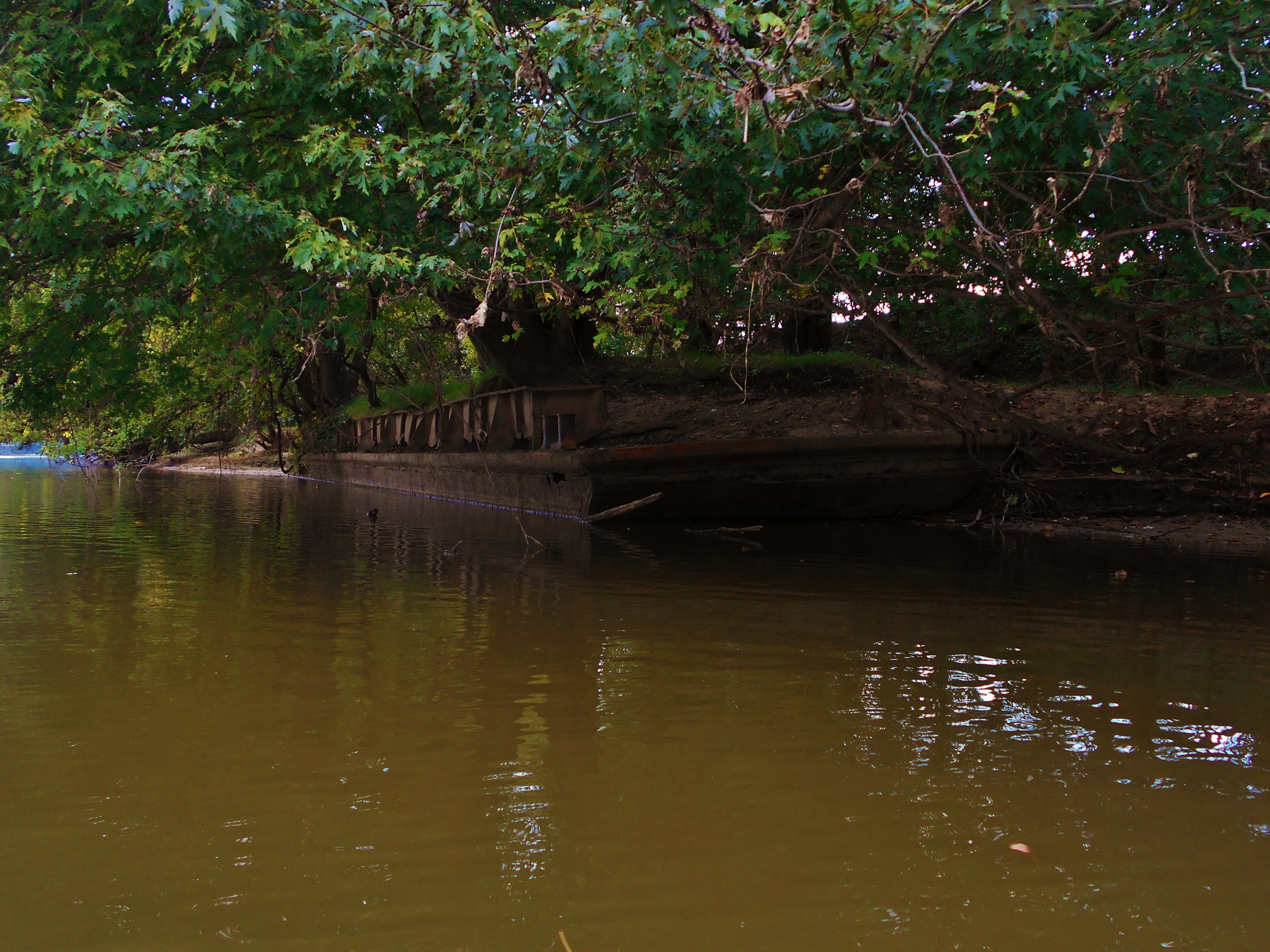
Next you'll enter a first left curve to start the middle of your "W" and it was here on the left that I saw another private ramp. This one looked like it might have been part of business too, because I saw some structures at the top. I didn't see any signs of activity, however, so I'm not sure if it's still in operation. What I did see a little further down was a very old barge left alongside the left bank which might have been part of the operation.
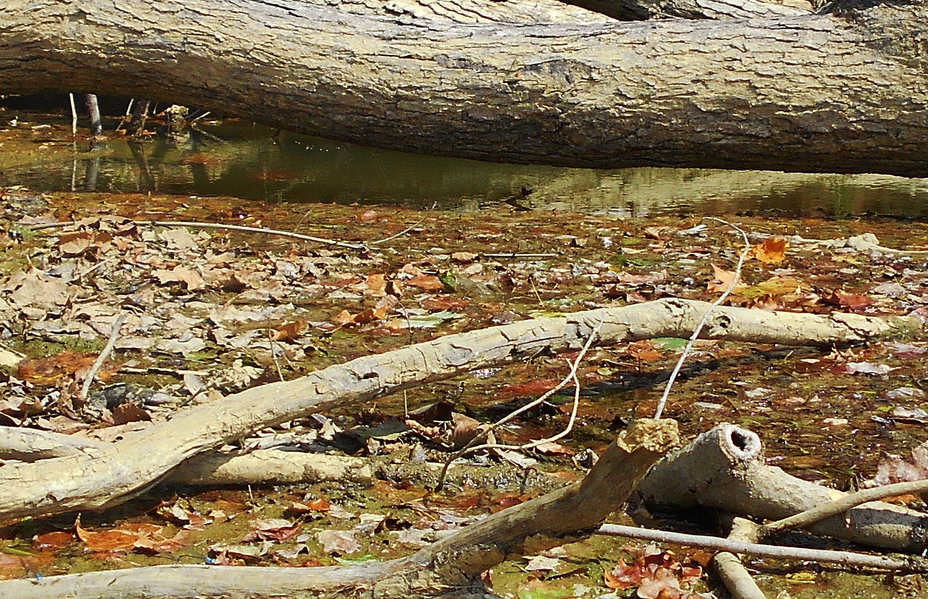
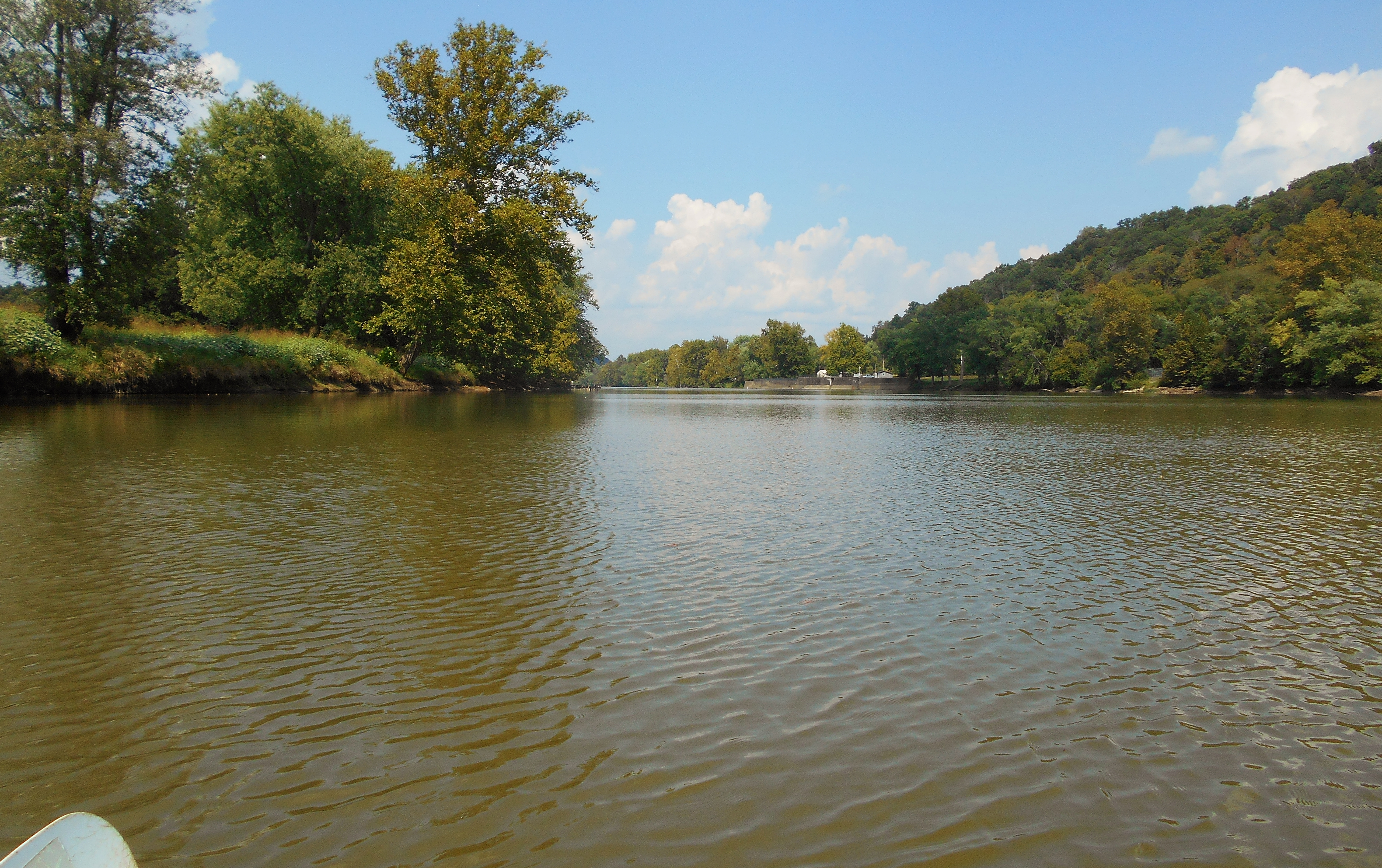
Once the river straightens again you'll see in the distance (at the exact middle of the "W") some cut rock where room has been made for the road that's been following the river (Route 266). It was about here that I saw some debris floating on top of the water from which a great deal of sound was emanating - a slurping, sucking kind of sound. Perplexed, I paddled over for a better look. The last time I heard this sound it turned out to be some fish lifting up out of the water to snatch bits of algae from the surface. Today I didn't see fish, however. In fact, at first I didn't see anything at all, but finally something moved and I was able to spot it. Can you see it in the middle of the picture below? It's very well camouflaged in the debris! In fact, as I look through my pictures now I can see more that I missed - much smaller ones too.
The last curve left to complete the "W" will essentially consist of one large farm on the left and you'll have some great views of it the nearer to dam 5 you get...
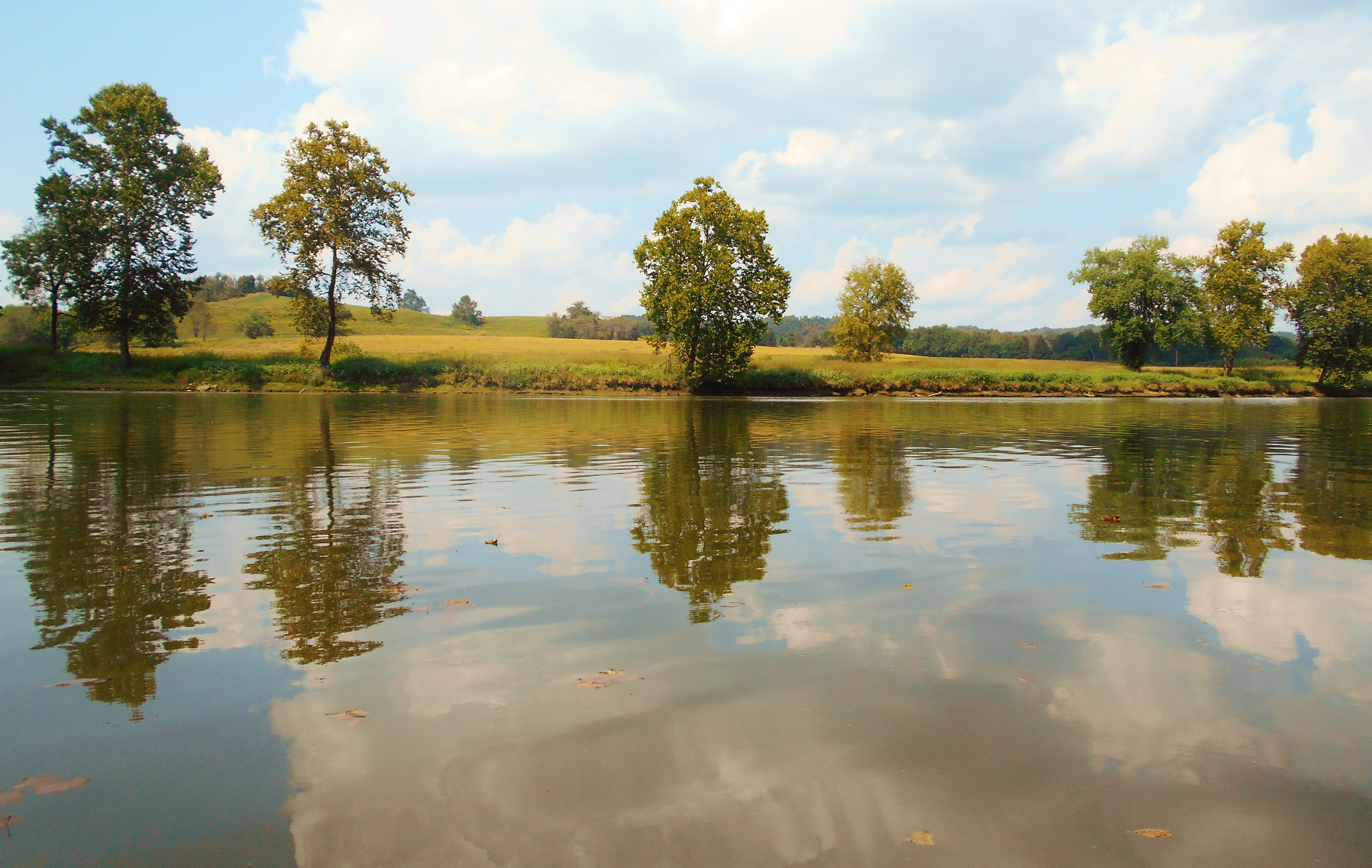
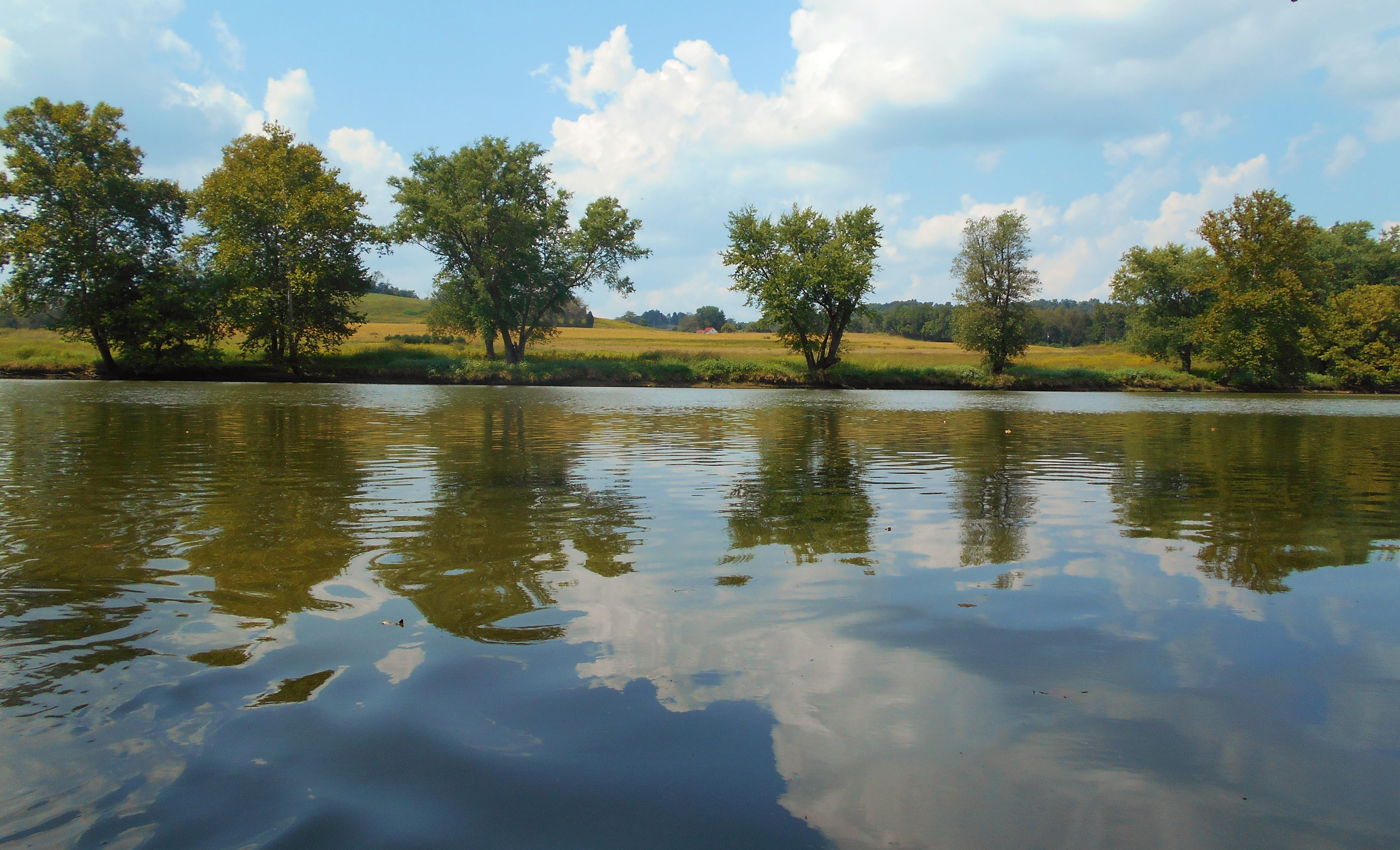
Meanwhile, on the other (right) side you'll start alongside another nice farm that has a cool looking bench set up atop a shoal overlooking the water. There are a few shoals in this section by the way, but there aren't any navigable side streams. Below is a picture of one of them...
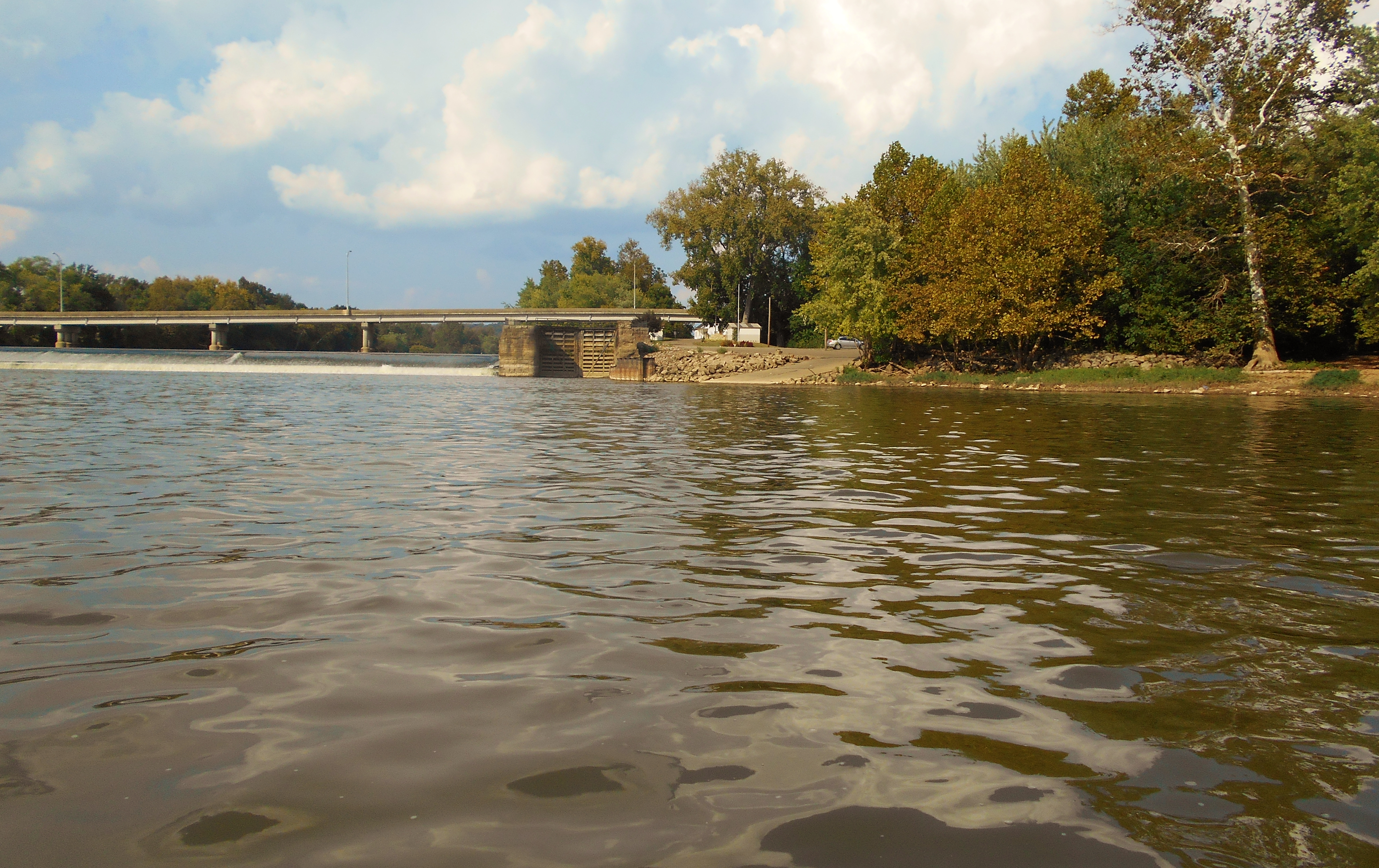
You'll also notice on the right that closer to the dam there's some kind of power plant above it on the lock side, but when I got right down to it I was amazed to see some kayakers coming up behind me - four of them! I hadn't expected this, this being a Thursday. They'd be locking through too. In fact, you can see them doing so on the right in the picture below. I wondered where these guys had come from and where they were going because I assumed they'd locked through dam 6 as well - I wouldn't see any vehicles back at the ramp when I got back later and there's only one public ramp in this pool. They may have been going a pretty long way.
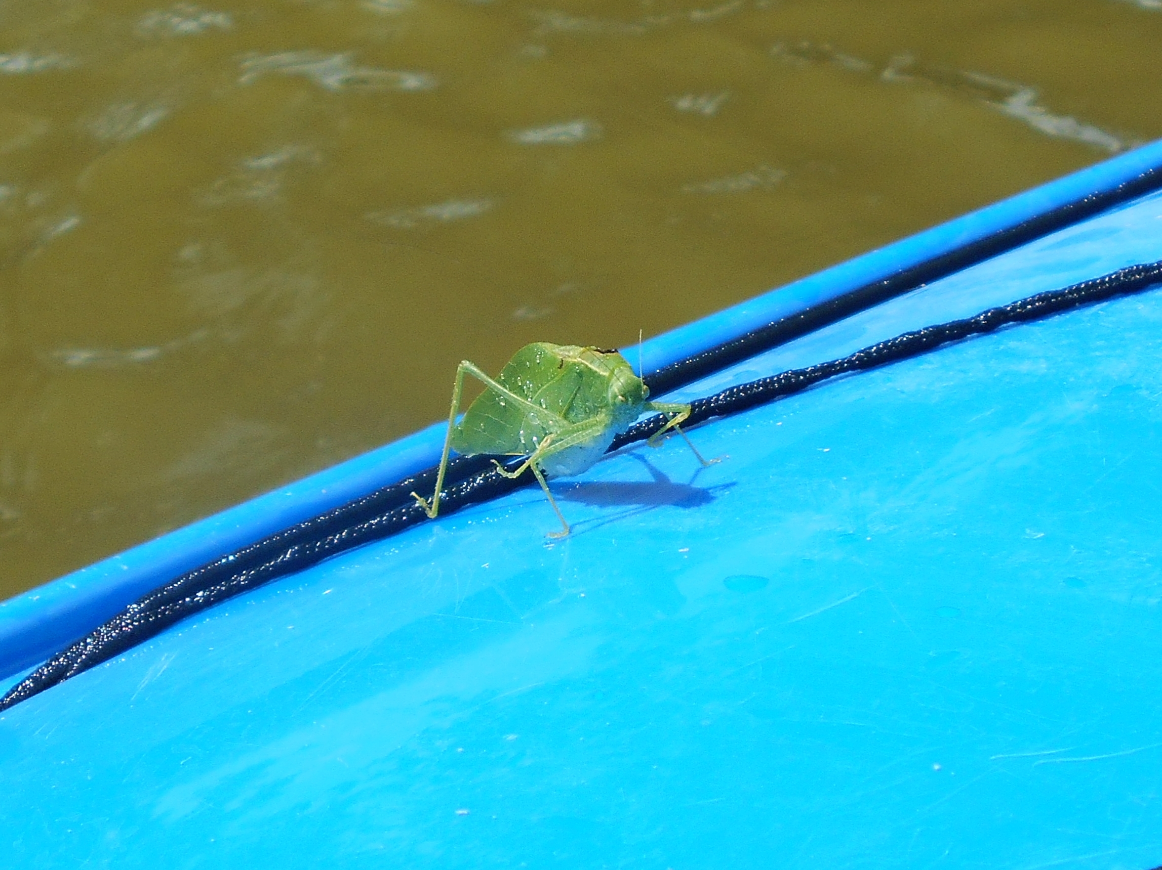
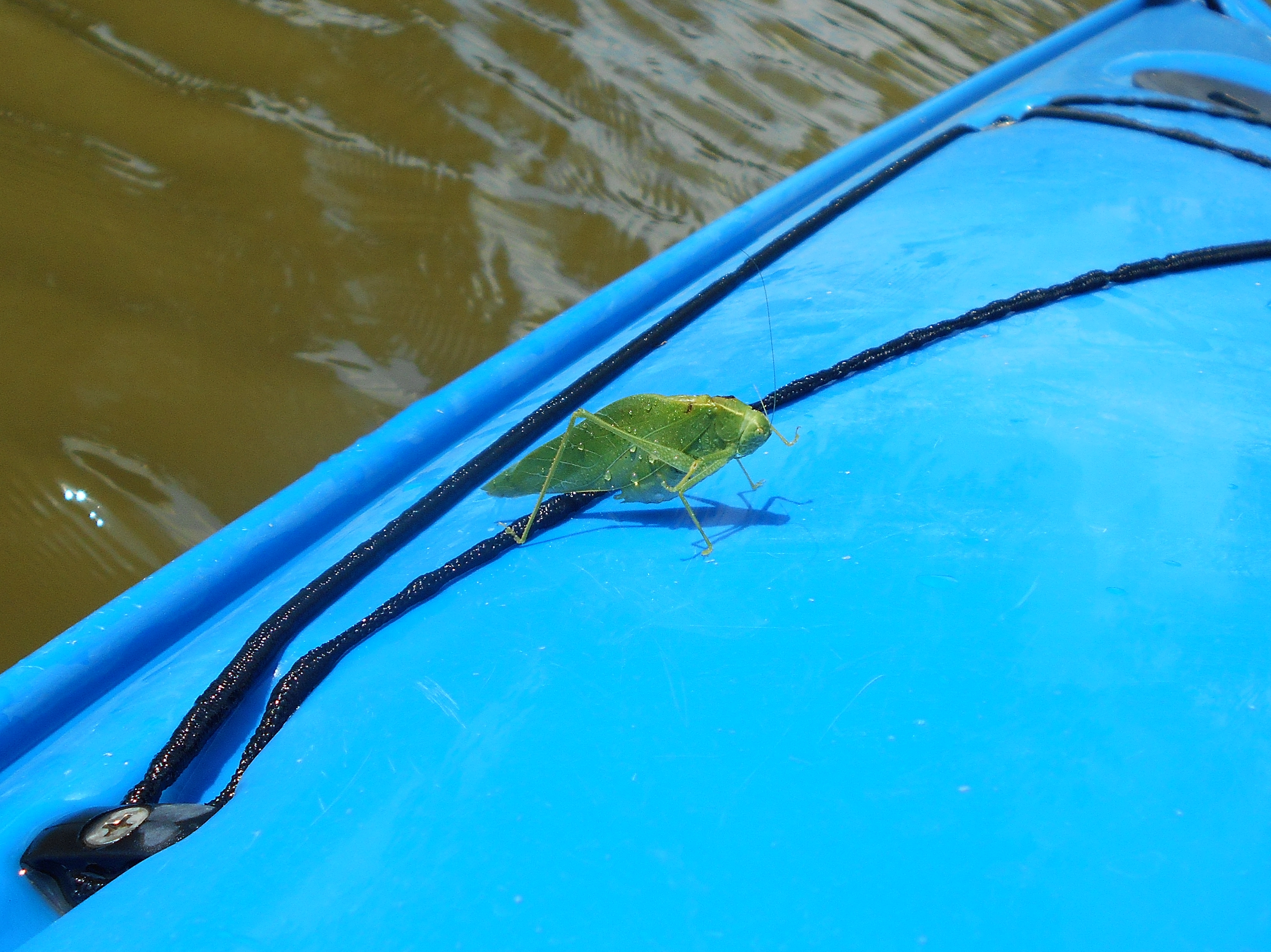
Something else happened here. A leaf fell on my boat. That wouldn't be very interesting but for the fact that when I tried to pick it up it moved! It was a good couple inches long, so at first I thought it was a praying mantis but having looked it up now I actually think it's a katydid!
This would complete my downriver progress for the day and I'd be heading back. The Stockport ramp is a nice one to return to. I think it would be pretty safe too, what with the folks at the restaurant/hotel having a pretty clear view. There are lockmasters here in the summertime as well, although they probably leave at 5pm. By the way, if you happen to be returning via Route 66 (and not via Route 792 as I did) there's another great looking farm just behind the ramp. You can't see it from the water but you can see it quite clearly from the road.