Old Landing to Dam 12 (Mile 221)
By this point the good people of
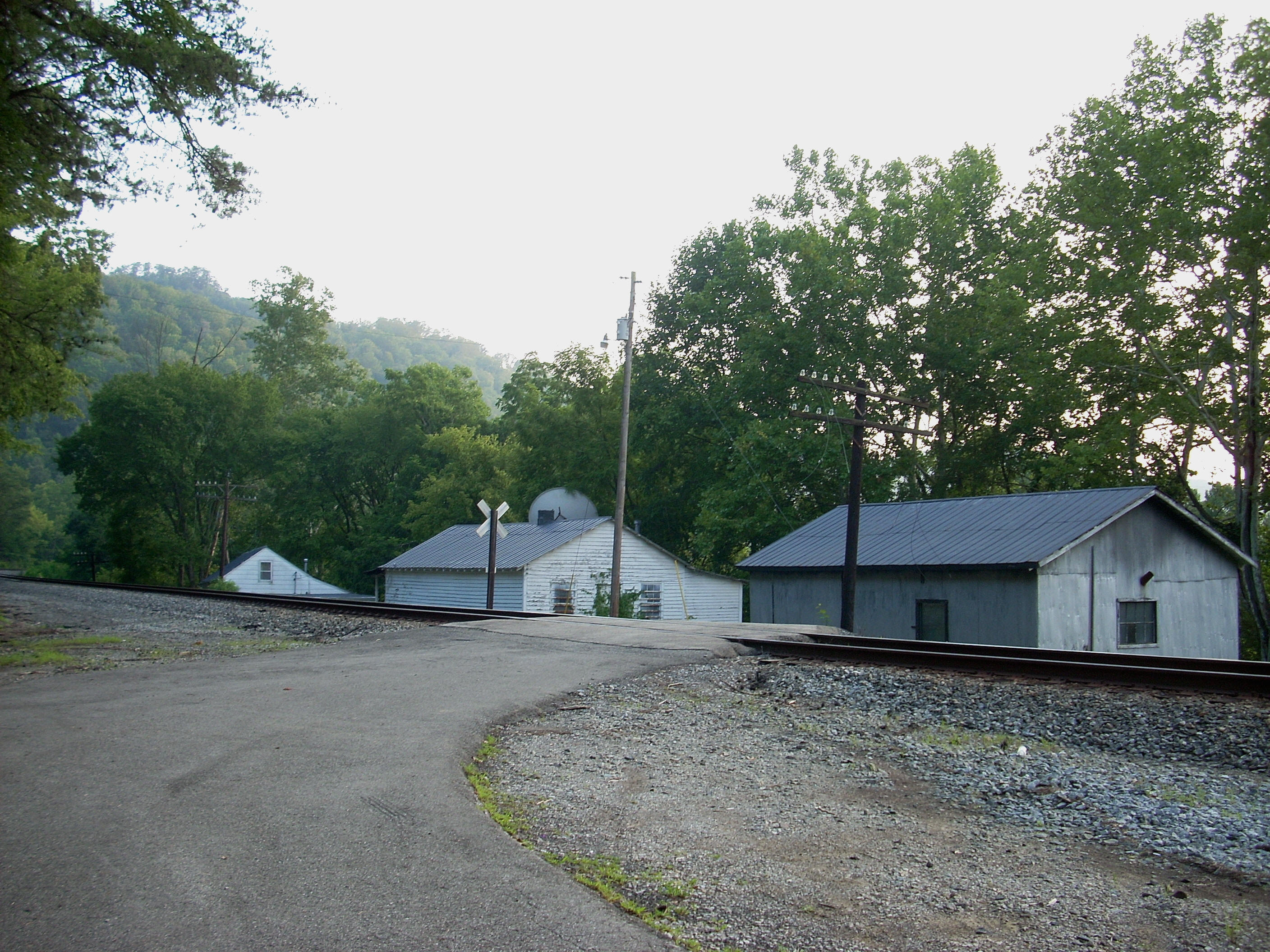
Today I looked forward to visiting Old Landing again. It’s quite a location! I did find out that there appears to have been a ferry landing here back in the day (confirmed by a book I ordered - The Kentucky River by William E. Ellis) and just getting here is quite an experience!
As you approach the community you’ll wind steeply down a mountainside to eventually reach a railroad track. You’ll need to go over this track, but if you didn't know better you'd almost think you're about to drive over a cliff! There’s a sign that indicates the end of road maintenance at mile 0 and this, too, is rather ominous. Anyway, you'll need to steel your nerve and drive right over the little cliff. HOWEVER - immediately upon doing so you’ll also need to make a sharp left turn or you’ll run into a building. Please GO SLOWLY!
I ended up
parking way over on the side of the little parking lot here so as to be out of
the way of anyone else who might come in. It’s quite a small place to park
so please be aware of this - and talk about being on your best
behavior! You’re basically in someone’s front yard when you park here!
I’ve never met the person who lives in this house but I’d like to. They
must have a lot of knowledge about the place. Old
Landing (that I know of) seems to consist of only this one occupied house, along
with another house and a barn on the other side of this parking area.
Yet another house is a further down the river next to the railroad track and it
looks to be really nice, but it seems abandoned. That’s it!
Old Landing, circa 2008. It fascinates me!
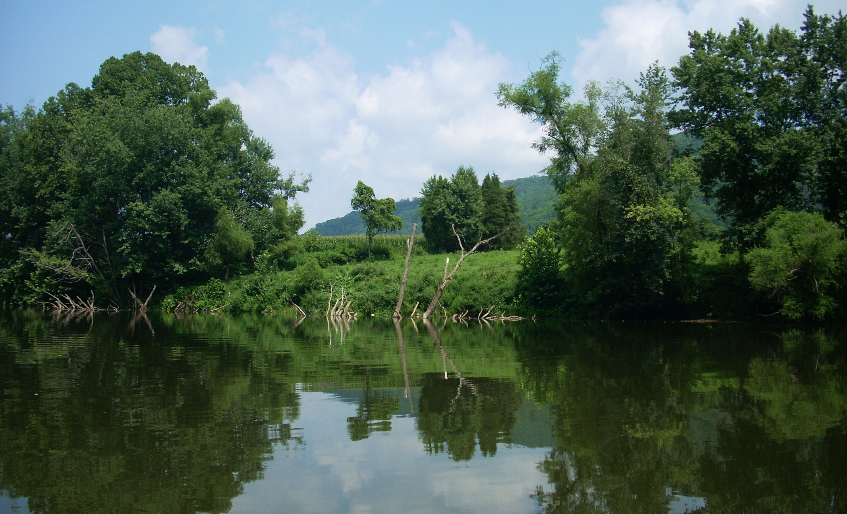
Once down by the water I
noticed a place on the other side of the river which might have, at one time,
been the area where cars (or carriages) drove down to the ferry. The spot stands out since it’s grassy instead of wooded like the
rest of the bank and it has a gentler slope to it. There's also a small brick structure on the Old Landing side at the bottom of the ramp.
This might have been used as a shelter for the ferryman, although I wonder if
this was a motored ferry or a pull ferry? Once again, I find that the
more you know, the more you realize how much there is you don’t know!
Questions that are answered just lead to more questions!
As for the ramp at Old Landing, it’s a good one but it’s crumbling quite a bit. In fact, I half-wondered if it hadn’t been repaved since the days when this was a ferry landing! You’ll thus need to watch your step here particularly after a rain. Anyway, I headed downriver after snapping a few more pictures.
Today’s trip would be the
longest I’d taken so far this year, and it would also offer the best mountain
views yet as they weaved and cascaded all around me for almost the entire way
down to
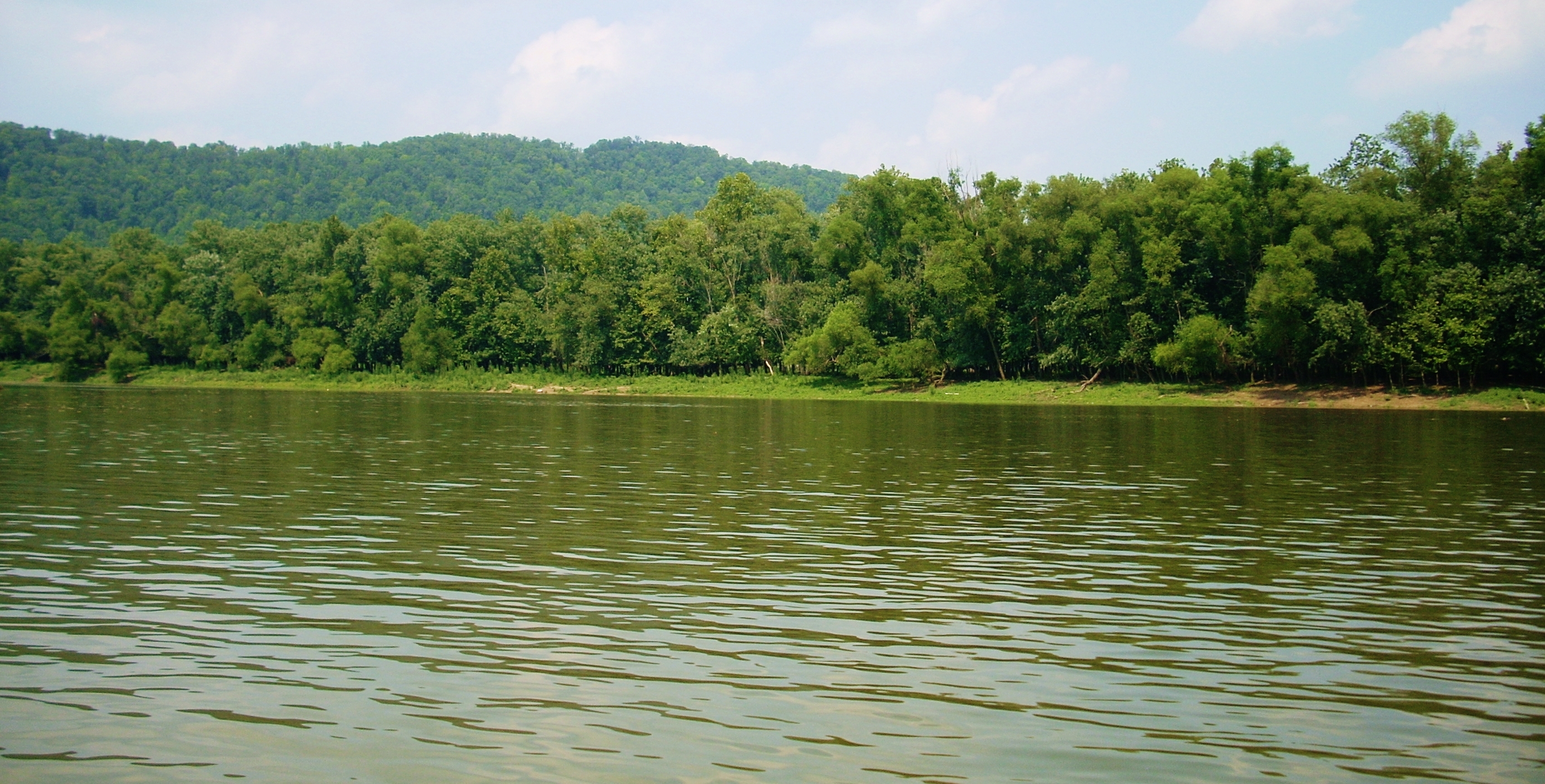
dam 12 at Ravenna. These mountains, while continuous, cannot always be
seen clearly, however, as they're often receded back from the river. As a result, there
will be long stretches on both sides where they’re
not…
quite… visible… enough… from down
on the water to be fully appreciated. You’d love to see them,
but you can’t quite do it.
As you begin paddling you'll be directly beside one on your right, yet past this point (just after mile 231)
they'll be
in the background.
The CSX train track also continues its unbroken run along the river on this
right side all the way to
Many of the farms in this area are absolutely idyllic too. The drive out revealed this more than the views on the water did, however. Much as the mountains are often receded from view so are these farms. In fact, it's even more so with the farms. Today I would have loved to walk up the banks and get better views at many points, yet there’s a dearth of spots to get out on this trip. In fact, I wouldn’t be able to get out and stretch for the first several miles. The only real spot to do this is at the American Legion boat ramp in Ravenna 8 1/2 miles down.
After starting out from Old Landing you’ll curve left for the first ½ mile and then the river will be relatively straight for about 3 miles with only mild turns. It was in this stretch at an unnamed stream entering on the right at mile 229 that I noticed the gar again - and some of them were absolutely huge! Most were around 2 feet, but some were 3, 4 or even 5 feet long! Having read more about them now, I know that these fish haven’t changed much since prehistoric times. They can actually breathe so they don’t necessarily need oxygenated water. Thus, they’re a pretty adaptable sort. You can eat them but not their eggs – they’re poisonous to human beings.
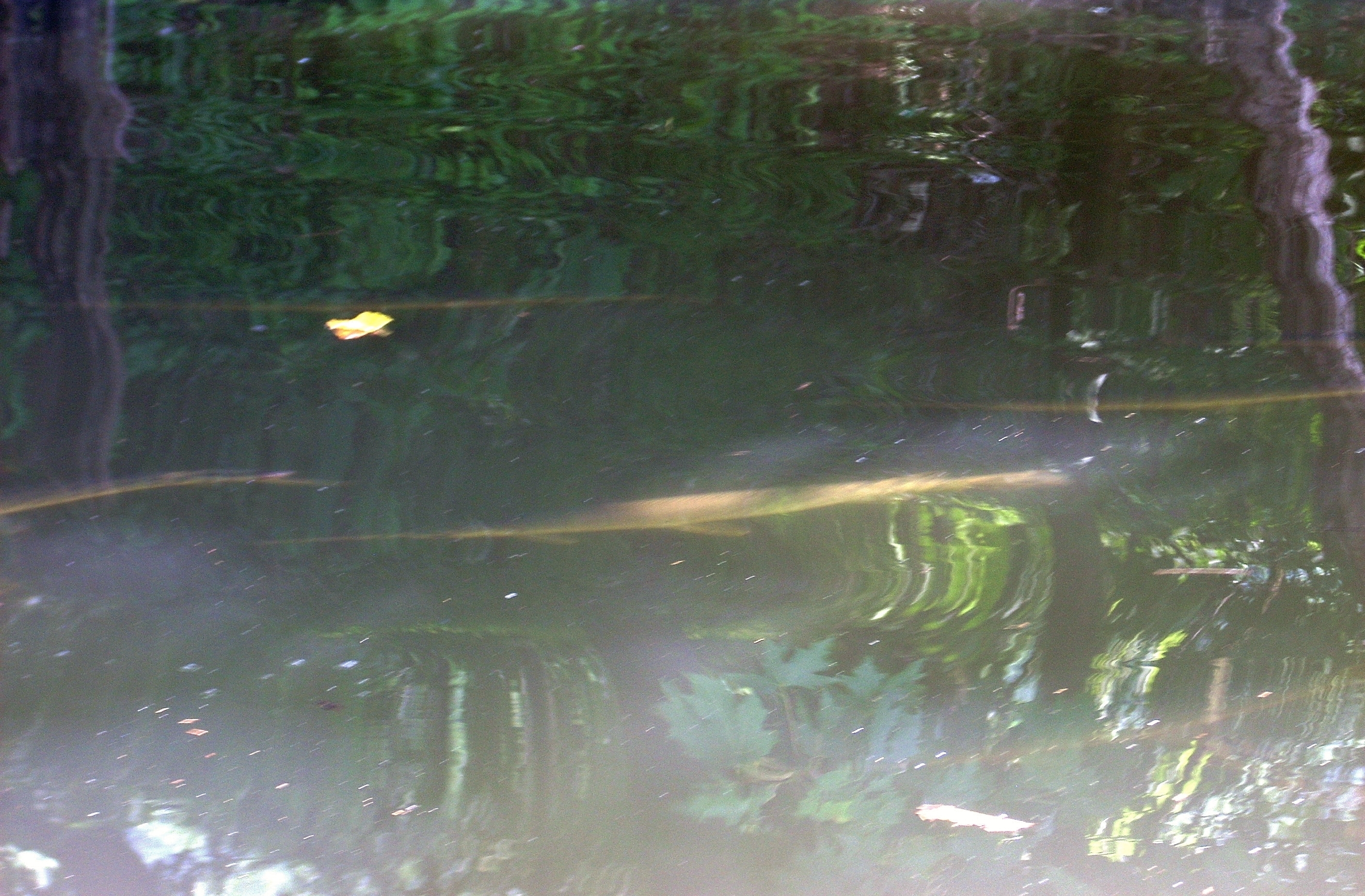
I stopped to take pictures of the fish, but my fascination with them was interrupted by a terrible
noise from the left bank. The sound was that of a howl/yelp/scream.
Apparently a dog, this sounded absolutely horrific! I withstood it for as
long as I could and then felt compelled to move on. As I did so I also
noticed some instances of moving water. Would this make the dam more difficult to negotiate once I
reached it? I’d have to find out…
At mile 228 you’ll begin to catch glimpses of some large farms on the right, some which have cornfields visible from the river and on the left side someone had a really nice rope swing set up at one point. I was tempted, but I don’t like to trespass on people's land.
The river curves right after this, and the communities of Texola and
Miller Creek then enters from the right just after mile 226, and it turned out to be the largest creek since the Sturgeon back at
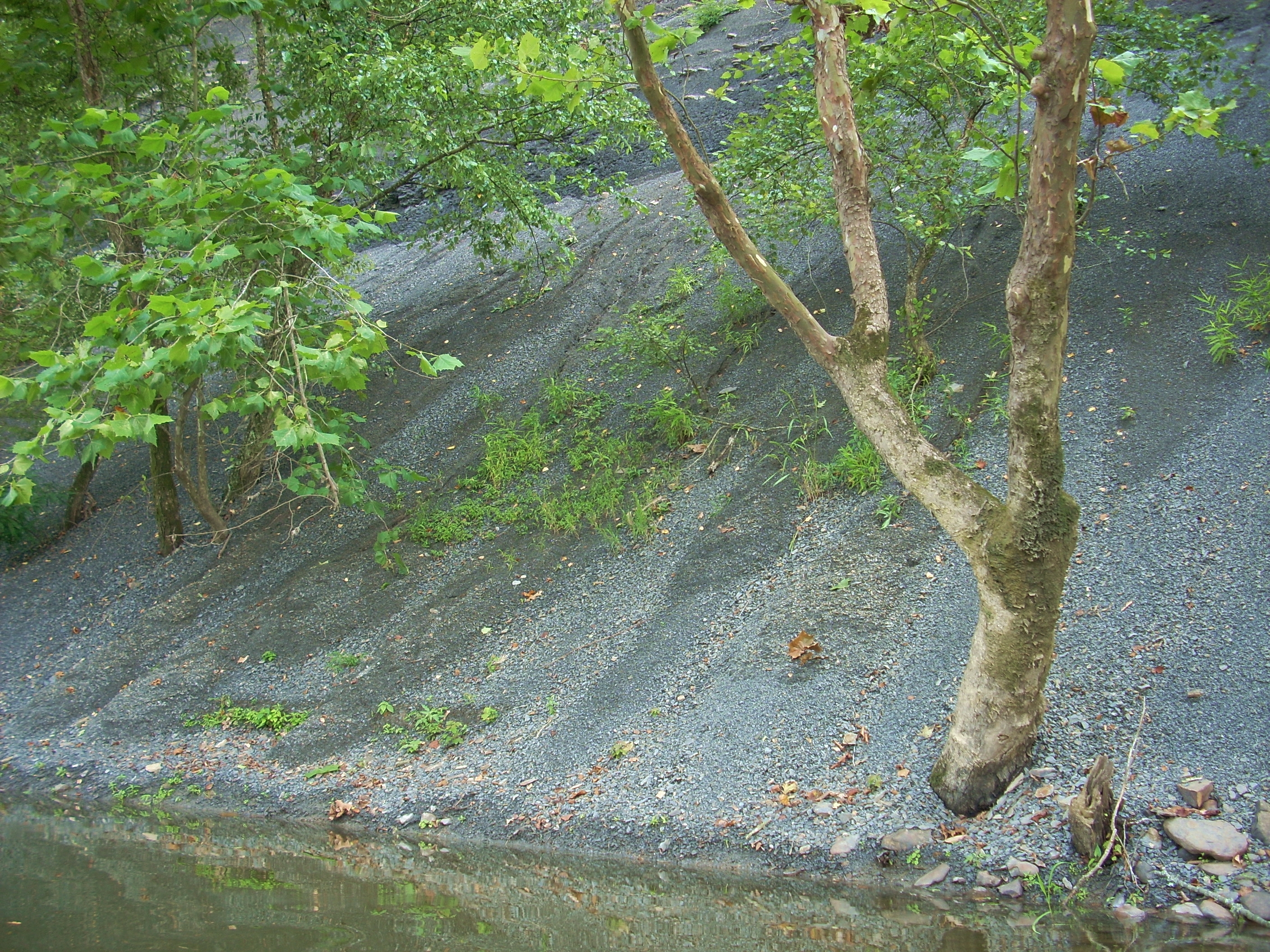
A rocky cliff comes all the
way to the rivers edge after this on a sharp curve to the right. In fact,
it
looks kind of like a gravel pile that you’d see at a stone quarry, as little
bits of rock have cascaded down from the cliff face. I was
able to get out and stretch here for the first time although it was a bit steep,
and on the way back I actually heard some of these little rocks as pieces
came falling down. It sounded like a little rain shower. Pretty cool!
At the end of a long, slow 1 ½ mile curve left Coppers Lick Bend will become visible. Its namesake stream (Coppers Lick Branch) ushers it in, and it would have been paddle-able at a few feet in width were it not for a boat jammed into it. On the way back I noticed a house atop the mountain in the background of this creek which was not visible on the way downriver. Anyway, once you’ve reached this bend you’re pretty much on the outskirts of
The river gets really interesting after this ramp. You’ll have quick scenery changes as well as tighter twists in the river. You’ll curve left at Wagers Bend, curve quickly right at Soap and Tallow Bend, and then curve left again to reach dam 12 at mile 221. Rounding the first of these, Wagers Bend, you'll find a large section of bank on the left with the gentlest slope I’d yet seen on the river. Different kinds of trees appear to grow here, and the underbrush is not nearly as dense as usuall, so it allows you to see more of the countryside. It’s quite a scene shift and I wondered what would have caused such a landscape change. Last year there were a ton of geese here but they weren’t out today.
This scenery quickly
gives way to that of a totally different kind on the second bend, Soap and
Tallow. The view here is that of shale cliffs which appear in
short sections on both sides. This was the first significant stretch of
cliff walls I’d seen so far on the river and some of the rock formations were really nice.
I’ll say that I really like this entire area, in general. In fact, it may be one of my
favorites on the river due to the diversity of scenery in a short span.

Cow Creek (what
a name!) enters from the right just after a little stretch of cliffs before dam
12. KY1571 goes over it right at its mouth. Its width was somewhere
between that of
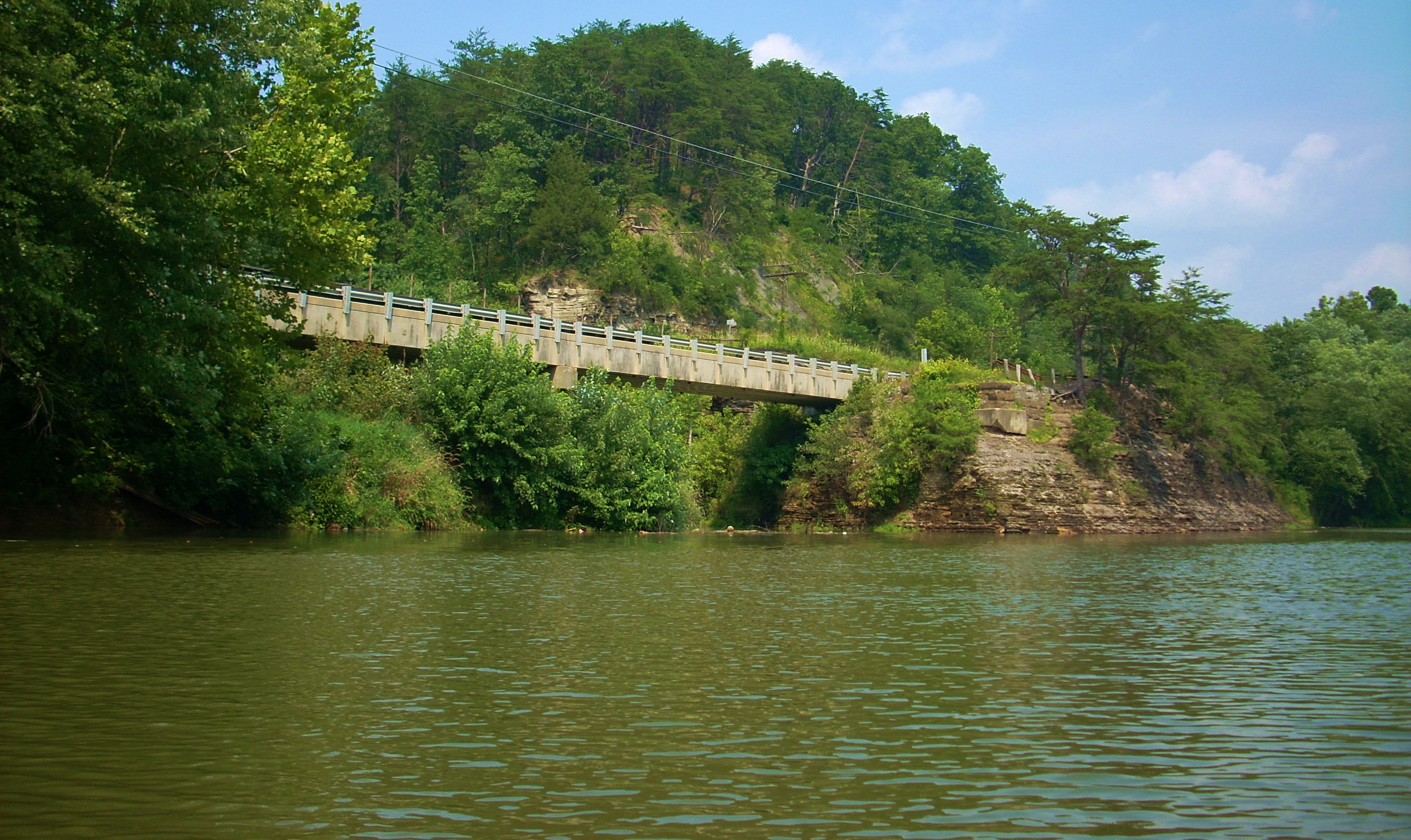
The dam will be visible in the distance now along with a house which was probably one of the old lock houses. The whole area seems beach-like and you can see a mountaintop in the background. On the map it looks like this is real close to the Estill County Golf Club. When I first started researching these dams I stumbled upon a web page that had a lock and dam guide for this river. Good thing I printed it out because the page is no longer up. I wish I could now credit the person who compiled it but their name was nowhere to be found. Anyway, according to this the dam is accessible from the golf club. I’d have to visit it this way instead of from the water...
You see, I could actually hear the rush of water over the dam from this upriver side. At this point I’d only paddled for a little over a year, and since the weather had been so dry during that time I hadn’t been able to clearly hear water going over a dam in such a way before. I wasn't about to take any chances. I thus got as close as I dared, but the water was simply moving faster than I was comfortable with so I decided to skip checking out what the portage might have been like. I’ll try to get pictures on the next leg of the trip. Nevertheless, I paddled back upriver a little bummed feeling that I hadn’t completely accomplished what I set out to do today. The way back would be funny though! I'd snap out of my funk!
On the opposite side of the
dam I saw the
Big Doe Creek, but it looked to be real close to - if not actually in - the
restricted area so I didn’t chance it. From appearances, it
might have had several feet of water in it on this day. I did paddle into Cow Creek.
The name itself is amusing, and I know from a previous paddle that it’s somewhat
similar to the Boone Creek further down in that it veers left with rock faces on
the right as you enter. It’s not as scenic as the Boone in my opinion, but
it is really nice. I paddled in less than 100 yards before a stream-wide
deadfall stopped me. Some more shale rock formations at the entrance make
for nice photos.
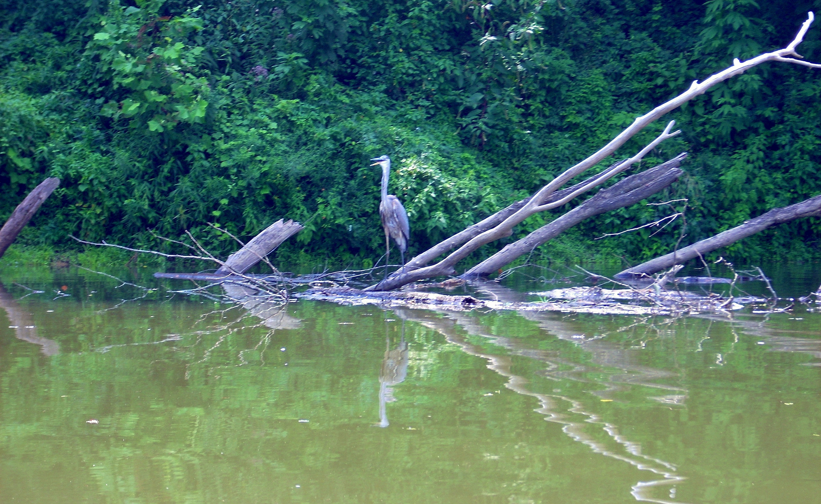
Next up on the funny list was a heron which was perched atop some debris on the opposite side of the river as I came out of the creek. I wasn’t prepared for this at all! This was actually a standoffish heron - it didn’t move! It just stood there with its beak open as if daring me to come closer. I began to have reservations about doing so. “Hmmm…that beak… kinda sharp looking… yeah, maybe I’ll move on!”
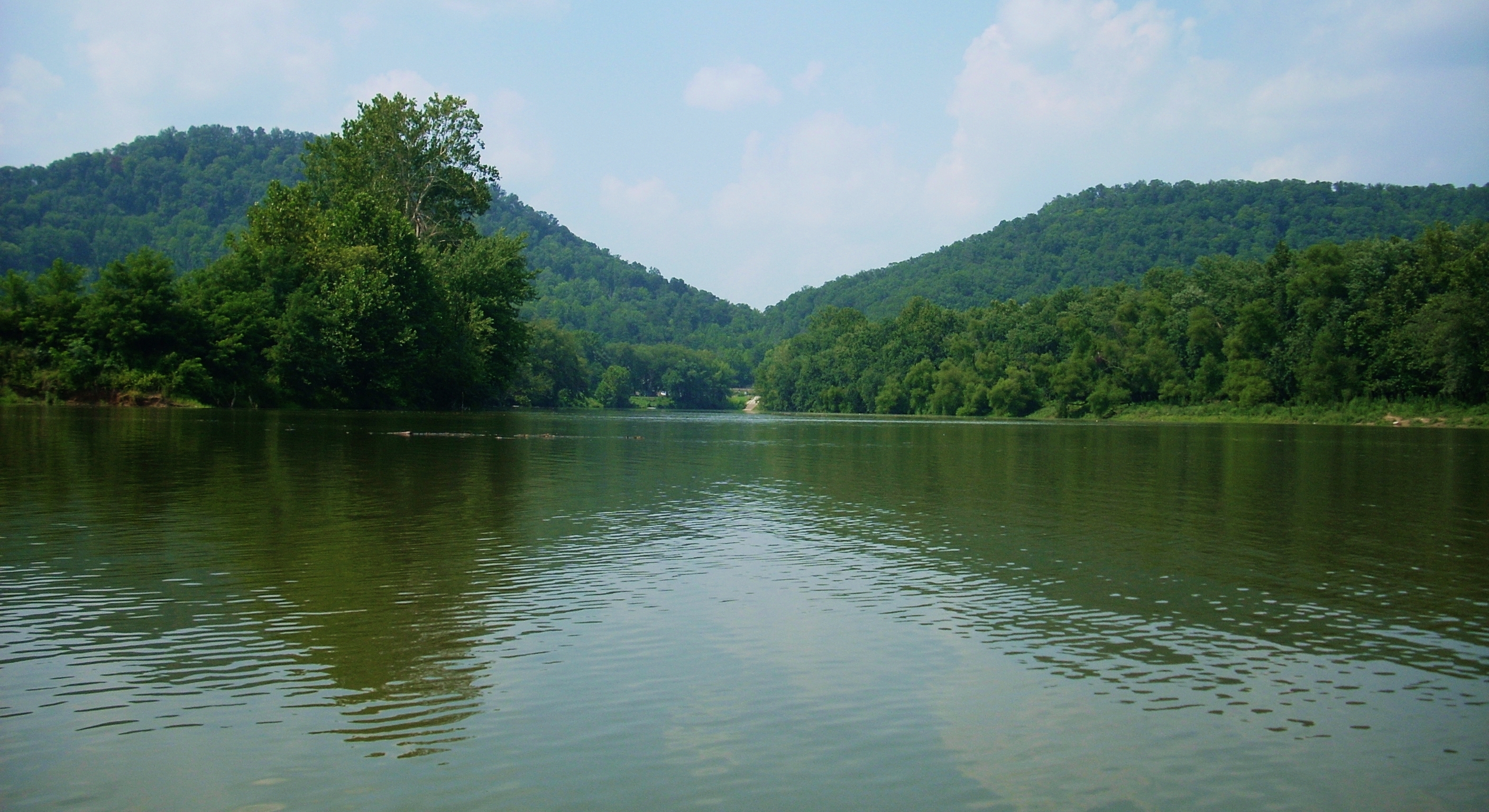
I thought this view of Ravenna with the American Legion ramp visible at the end was nice (it was taken looking upriver on my return)...
When I got back
to the town of
“Quick!
Name that bark!”
“Uhh...
let's see... a combination of beagle with a little dachshund and maybe some
terrier too along with just a hint of… rooster!?!”
I paddled up
Miller Creek next after passing another school of gar across from it. They
should call this “Chocolate Milk Creek” because that’s what it looked like as I
was paddling in! I kid you not! This creek is similar to the
Sturgeon, but it appeared to be a lot deeper than that creek today. I
didn’t have any problem negotiating it, and it wasn’t until I’d gotten a few
hundred yards that a creek-wide deadfall stopped me. It wasn’t so large that I couldn’t have gone through, but I would have had to
paddle through a bunch of muck and trash too. I wasn’t really in the mood
to do this.
I paddled up
I did have a pleasant surprise on
the way back though. As the sun was just beginning to go down I saw that
the minnows were back! Smaller than last year (at least for now), they’re
starting to amass in little schools. You can see them in the distance as the
water will seem to shimmer around them as they swim about. Drawing
near you can just catch glimpses of them since they’re so small and so timid.
A little later in the year and they’ll be much more visible though.
I was soon back
the ramp and on my way. It had been good to check out Old Landing again.
When I come back to certain points on this river it almost seems like I’m
revisiting an old friend.
DIRECTIONS:
KY 52 to