2008
Dam 13 to Old Landing
The cliché “What a difference a year makes” was
quite appropriate today. Last
year it took me nearly 5 hours to reach the ramp at dam 13 from
The drive I took last Friday to reach the put-in at Heidelberg went through the mountains, but today my drive would take me on an even more intimate course through them. It must be absolutely fabulous in the fall! However, this may be the most remote put-in on the Kentucky River and for this reason I really wouldn’t recommend coming out here alone. Also, if you’re not the considerate sort you may want to change your ways. At least if you come out here. I’m sure the people are nice enough but they’re probably not used to too many strangers coming around. Take any liberties out here and you just might get shot at.
Starting today the pools (what they call the area
between each lock and dam) will get longer.
With the exception of 2 of them, they’ll average about 20 miles each
from here. One is 27 miles
long. Thus, I’ll not be able to
paddle all the way around a pool in one day.
I’ll have to split them up.
So, for today I’ll cover the area from this ramp to Old Landing and
then go back. Then the next time I come out I’ll go from Old Landing
to dam 12 in
Anyway, as I was bringing my stuff down (this is a long ramp by the way – maybe 100 yards) I noticed a couple guys down there with a little dog. This dog did not know what to make of me at all. It ran all around, barking. Well, I’ve been bitten by a dog displaying the same kind of behavior before, so I was none too comfortable with this situation. I did have my can of Halt! pepper spray on me but I was loathe to use it. “He hasn’t bitten anybody yet.” Not entirely reassuring... I got my stuff together and got out of there! Strange thing though (cue eerie music). They and their boat were gone when I paddled back from the dam which was only a short distance away. They didn't pass me. The truck was gone as well and I would have heard it leaving. Heck, the dog would have been barking at me too! Altogether a very strange disappearing act.
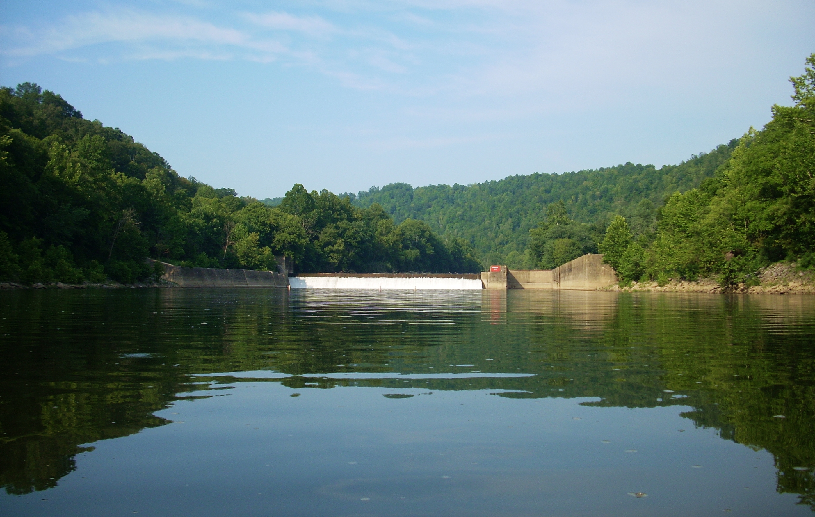
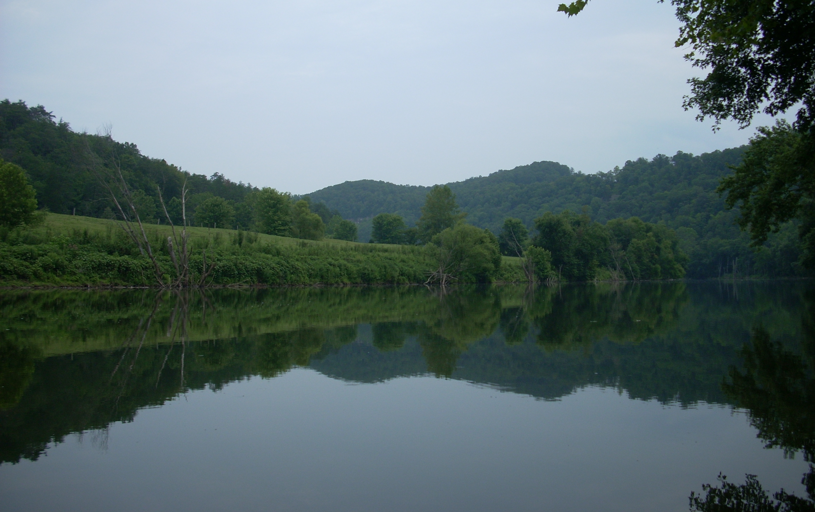
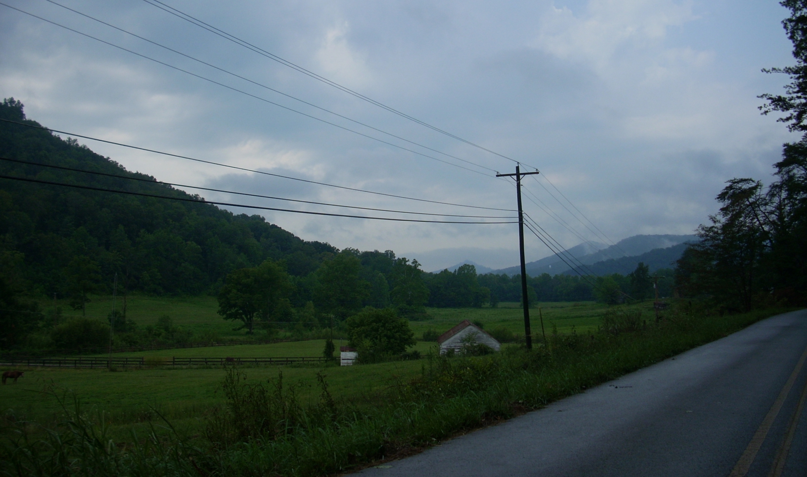
As for the dam, it looks very cool with its
mountainous backdrop. I
cautiously paddled to the corner of the lock to check out what the portage
might be like (I hope to have pictures of all these).
It looks fairly easy from this side.
It’s rocky but it looks like concrete was poured over the rocks which
would make the footing easier.
Combined with what I saw Friday from the other side, this portage doesn’t
look terribly difficult compared to others I’ve seen.
Having checked this out, I started downriver.
Today’s river shape is that of a finger pointing left with the thumb
down at an angle below it. The
ramp is at the upper tip of the thumb.
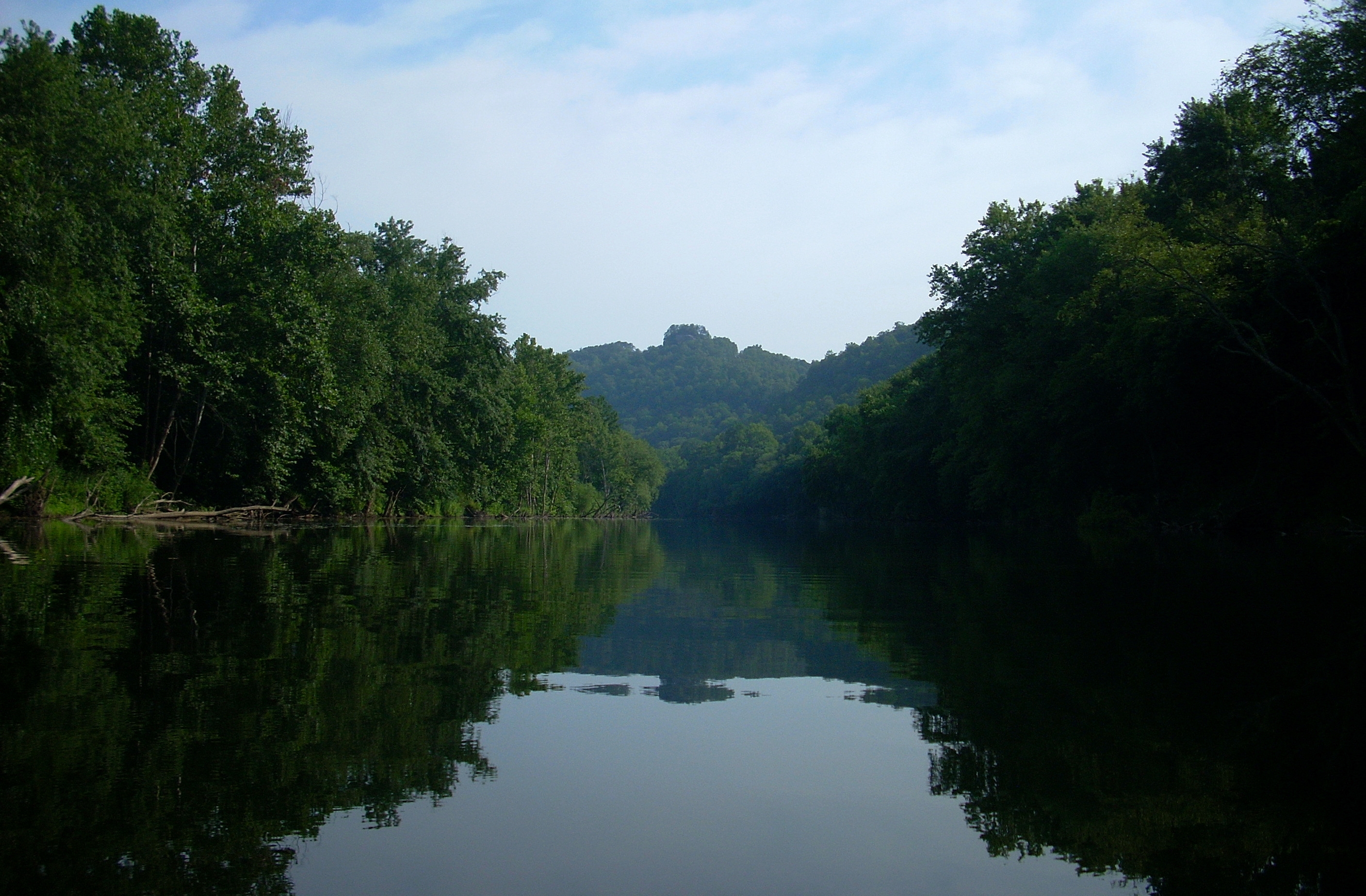
One mile down at the bottom of the knuckle of the thumb (the right
side of the river) you'll see Pinnacle Rock.
This is essentially a rocky crag that kind of juts up from atop a
mountain here. Unfortunately, I
didn’t get a great picture in the sunny haze of the day but it's straight
ahead in the picture below. The
railroad track continues, by the way, on this right side throughout this
stretch. There’s farmland on
the other side until you get to the tip of the index finger.
The herons are definitely getting bolder!
I had one fly right up to the bank beside me at one point just as I
had in a previous trip. In
fact, this part of the river would be great for bird enthusiasts.
I saw many different kinds on this day.
There’s a long curve between the knuckle of the thumb and the start
of the index finger starting at around mile 239 and by the time you get to
the last joint of the index finger at mile 237 you'll see that the community
of Evelyn is on the right.
There are more of those old bridge piers near mile 246 like the ones I saw
back at the dam in
Rounding a tight right curve after this I met with views of very long straightaways along the back of the index finger. This is actually one long 2 ½ mile straight stretch but with very slight curves so that you can’t quite see all the way down. At one point I saw a couple kayaks at a house on the left bank. There are really nice houses all along here on this side. The reflection of the landscape on the water was interesting to me too. It always is. In fact, it always reminds me of those Rorschach Tests I remember from my psychology studies in college. By this time it was starting to cloud up a little bit.
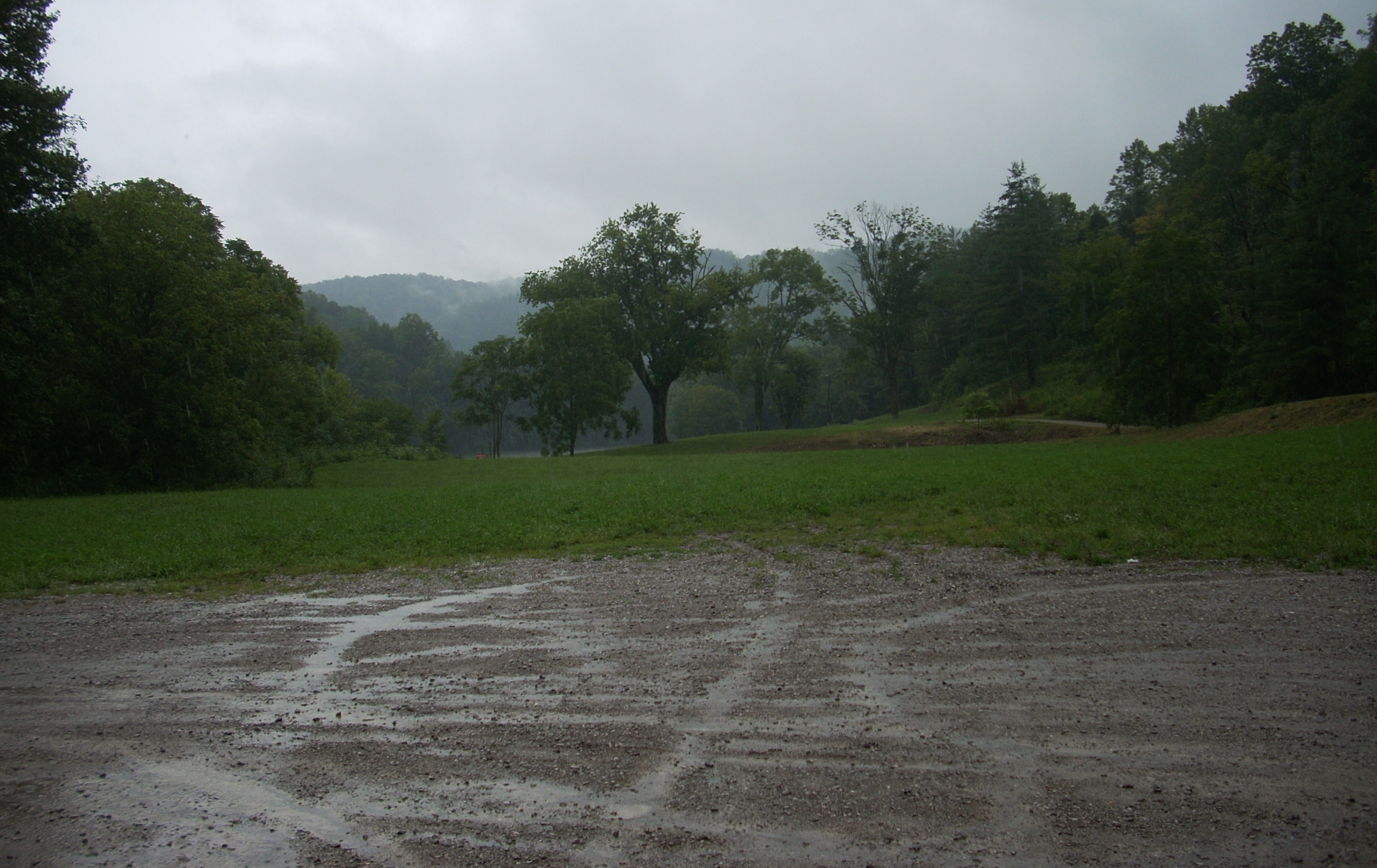
At about mile 233 a scenery shift is being borne
out. The left side will become
what looks like one large farm while the right side will transition from
grassland to forested hills as you curve toward Old Landing.
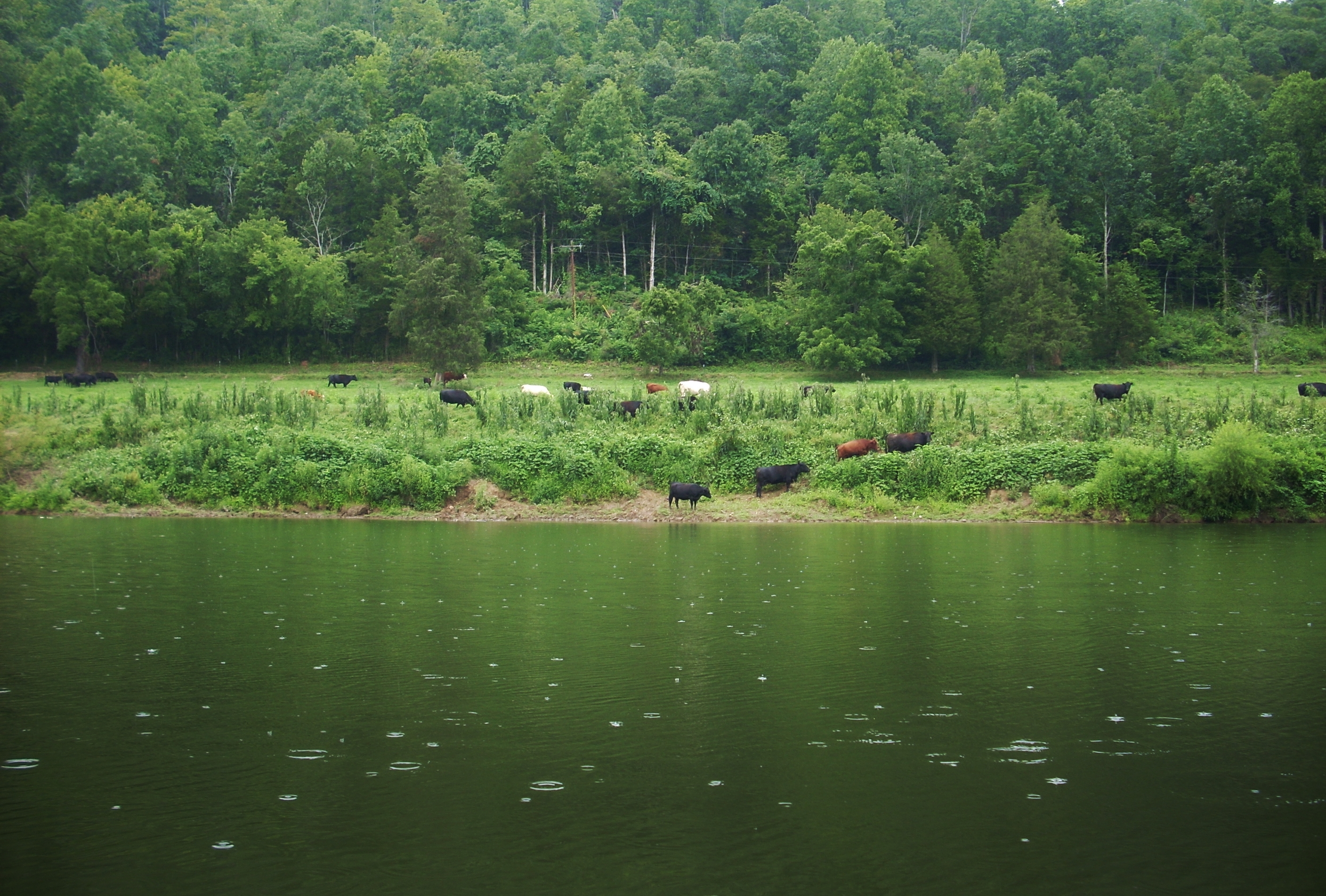
Between mile 233 and 232 I stopped to get pictures of some cows
lazing about and cooling off in the water.
I like cows. They’re
such peaceful creatures! Just
watching them grazing in the fields will put me
in a peaceful state of mind.
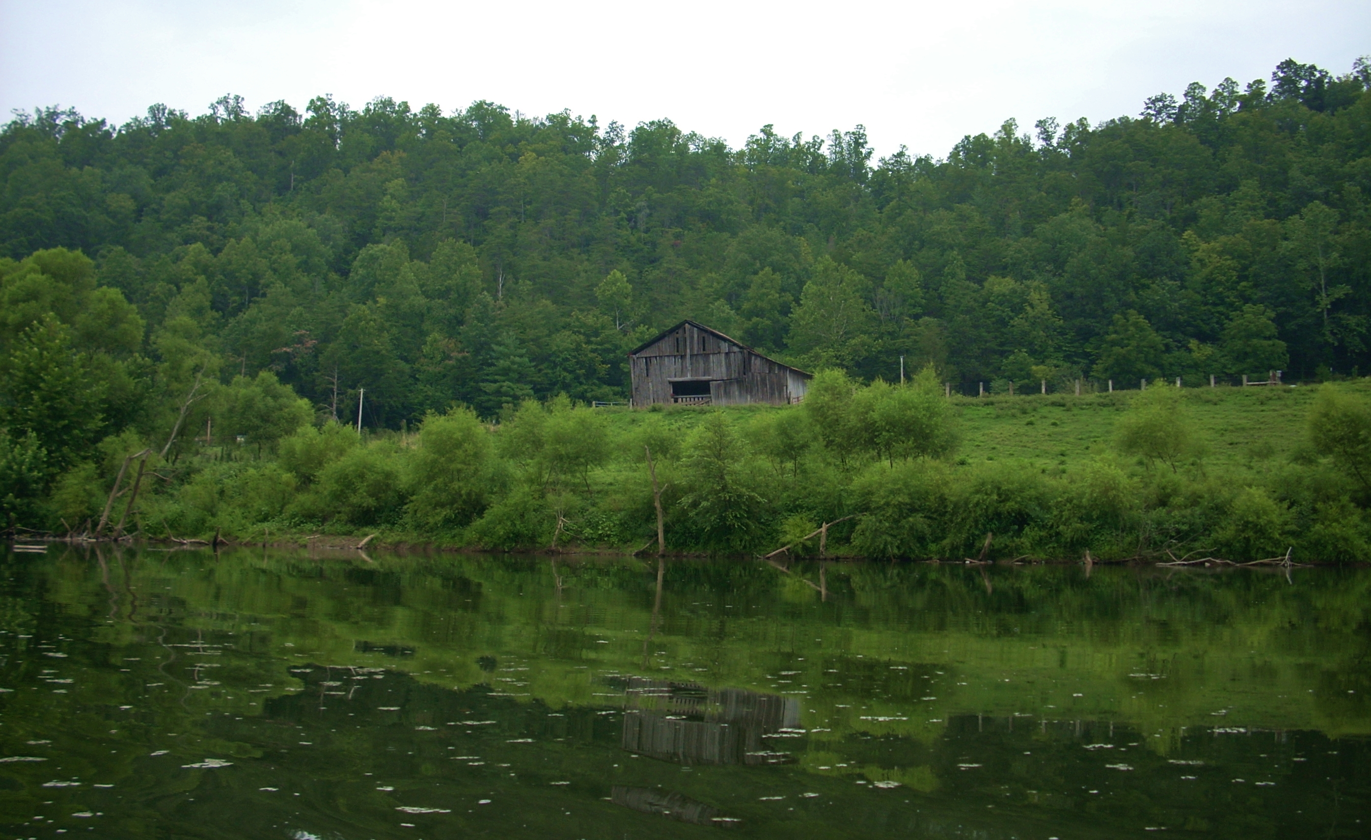
There’s a sweet old barn here too, the door of which forms a “mouth” and
there are 2 holes in the woodwork that appear as “eyes”.
It looks as if it’s saying: “hey there!”
Old Landing at mile 231 has always intrigued me.
It still does. If anyone
can provide me info on it I’d be all ears.
In fact, I’ve actually ordered a book that was written on the history
of the river and I’m hoping it will shed some light on the town as well as
on the waterway in general. For
now I’m left to guess that Old Landing was much bigger in the logging days.
There’s not a whole lot to it now but one house and the remnants of a
brick structure down by the river.
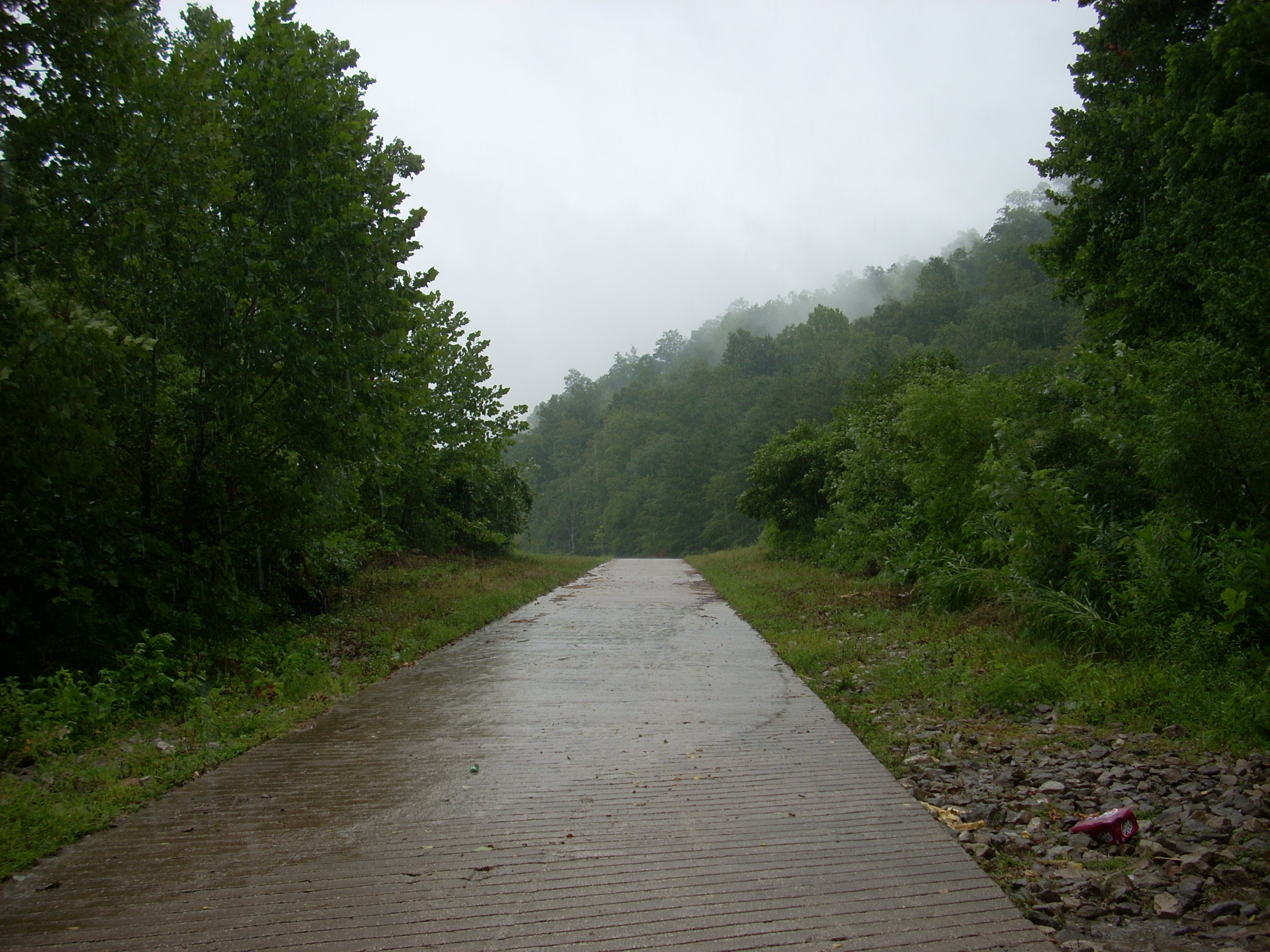
There’s a ramp as well which I’ll use for the next section.
On the way back I was to have a little rain trouble. All along the back of the index finger it was starting to get really dark and by the time I got around the tip I was in a full monsoon! I stopped only once. There were a couple pink flowers near the bridge piers. I’d never seen any like them and I just had to get a picture. Regardless, I obviously had not planned on getting caught in a thunderstorm, but if I do I follow some advice I that got in a book I read. I use it as a general rule in such emergencies (emphasis on general rule).
The advice is that there’s an area which lightning may not reach. Since lightning strikes the highest point, the advice holds that you want to be within an area of the shoreline which extends from the tallest treetop (or other landscape feature) down at a 45 degree angle to the water. Once again, however, this is an option of last resort. I can’t strictly advocate it because I can’t verify it. It’s just something I read. However, it may have saved me today (although I did say Hail Mary’s all the way back to the ramp as well)!!
Anyway, all this was quite a sobering experience (especially as I said the: “now and at the hour of our death part!” of the Hail Mary's!). I paddled as I’d never paddled before, making sure that I wasn’t in contact with anything metal. No camera, no Halt! can, no phone - nothing. I watched as spontaneous “creeks” appeared that were nowhere on the map! These appeared as mud flows gushing down from the farms. I wondered too if the river would have some current, although this wouldn't really come into play.
Meanwhile,
the
water formed some interesting shapes as the wind and rain rippled across it
and I noticed something else interesting:
there were little clouds forming above the water from the change of
temperature this sudden storm had created.
In fact, I actually got a bit cold as I was completely soaked in
water in the mountains. This, despite the fact that the temperature
was supposed to be in the 90’s and I was fully exerting myself.
When
I arrived back at the ramp I got out of the boat in a hurry and somehow lost
another towel. This wasn’t
another hand towel though. This
was the towel I put over the cockpit to keep the sun off my legs.
Don’t know what happened to it!
The long ramp was a frustration carrying the boat and gear up as my
arms were more tired than usual but as for the rain, it actually came to an
end just as I was putting the last of my gear in the car! On my way
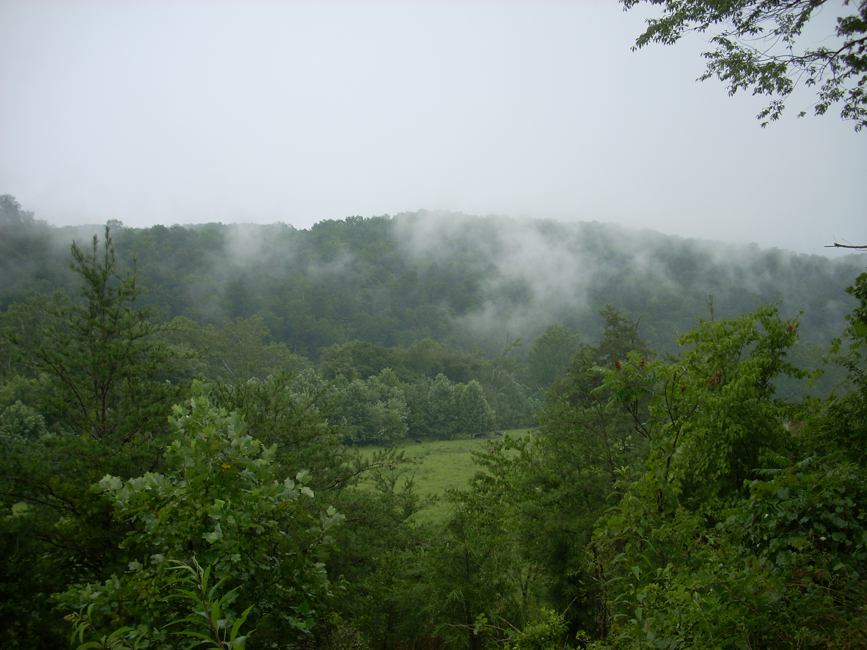
out I ended up stopping many times to take pictures of the beautiful
mountains scenes and the mist swirling amongst them.
It was quite a day!
DIRECTIONS:
KY52 to KY89 South just west of the