Friday July 26, 2008
Dam 14 in
Wow. The comics in the paper this morning were an absolute riot and they had me laughing and in a good mood from the start today. It began with the Argyle Sweater “Popeye” and continued with the Dyslexic Mugger in Bizzaro and the Motivational Listener in Speed Bump. Every time I thought back on them throughout the day I’d start laughing again. This happens to me. One good laugh can stay with me for an entire day – or longer.
It
was a little cloudy out today but I decided to head out anyway and keep a close
eye on the weather. One thing I’ve noticed about living in
My
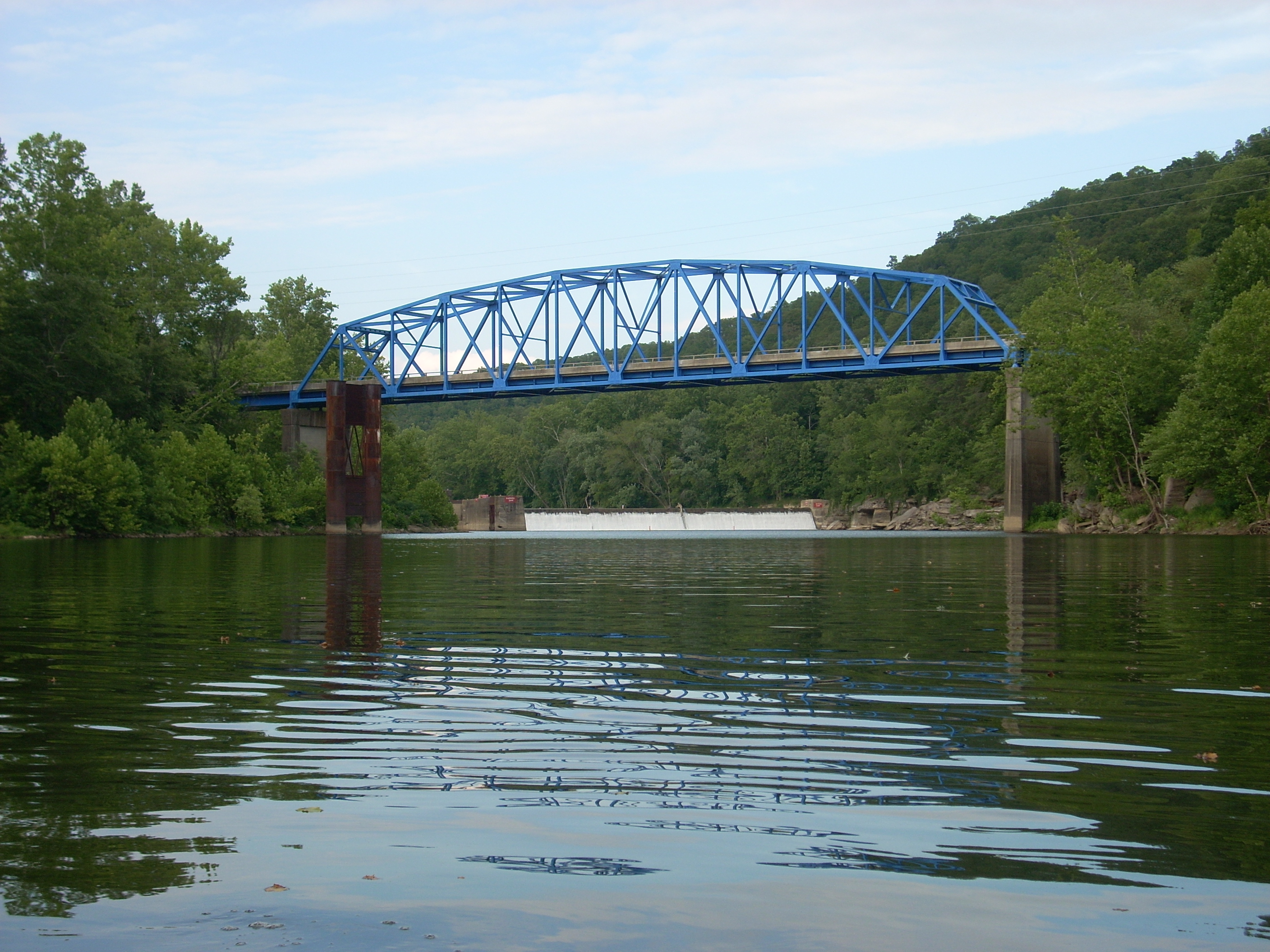
route to the river today would take me on KY52 through
Anyway, when you add the blue KY399 Bridge to what I've described above you have an especially picturesque location.
The lock side of the dam was on the left this time as I paddled up to it to start. I was, of course, ultra cautious as I stayed way close to the left bank and once getting to the very corner of the lock I noticed that there were no steps on this side as there had been on the other (described in my last upstream journal). For a portage then, it’s a fairly long climb up the rocks to reach the top. Note also, the old bridge support here. You'll see others exactly like them intermittently if you continue on Kentucky past this section. Meanwhile, on the other side of the river you'll note the rocky, cliff-like area.
At this point I turned around
to technically begin my downriver narration. Again, there's quite a bit to
see. As mentioned, the town of
Incidentally, the Turnhole Branch also
enters on the same side immediately after the Sturgeon over a shoal, but
it wasn’t paddle-able today. Yet
another steam, the Sawmill Branch, is directly across the river. It was dry at the
After the curve to the left at mile 248 the farmland on the left will disappear in favor of forests, mountains and… forested mountains! Farmland won’t appear again on this side until just prior to dam 13 at mile 240 – about 8 miles down. At mile 247 there are some rock cliffs which border the water on the left. These will be present through much of this stretch as you look back through the trees, but here they’re clearly visible right up against the water.
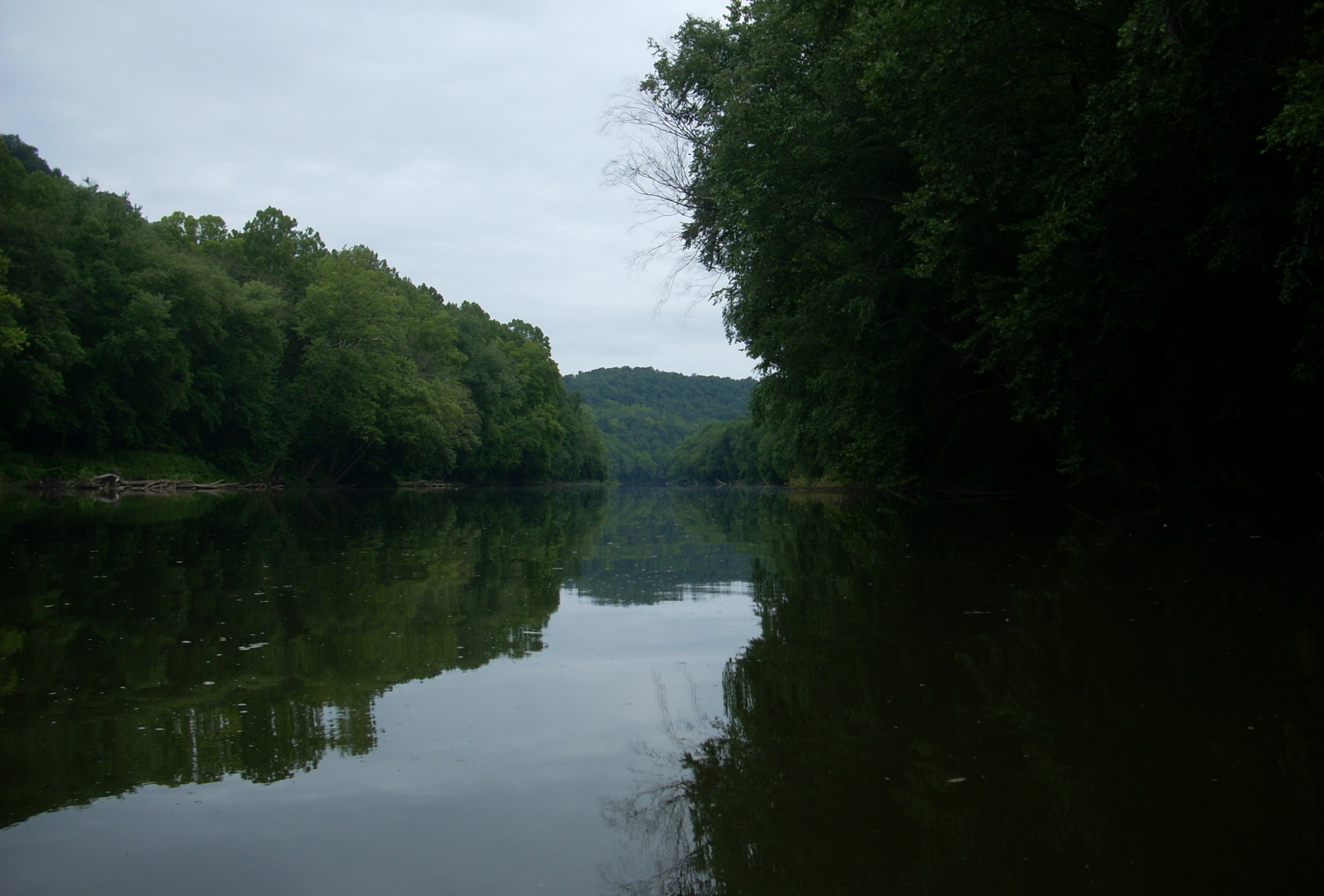
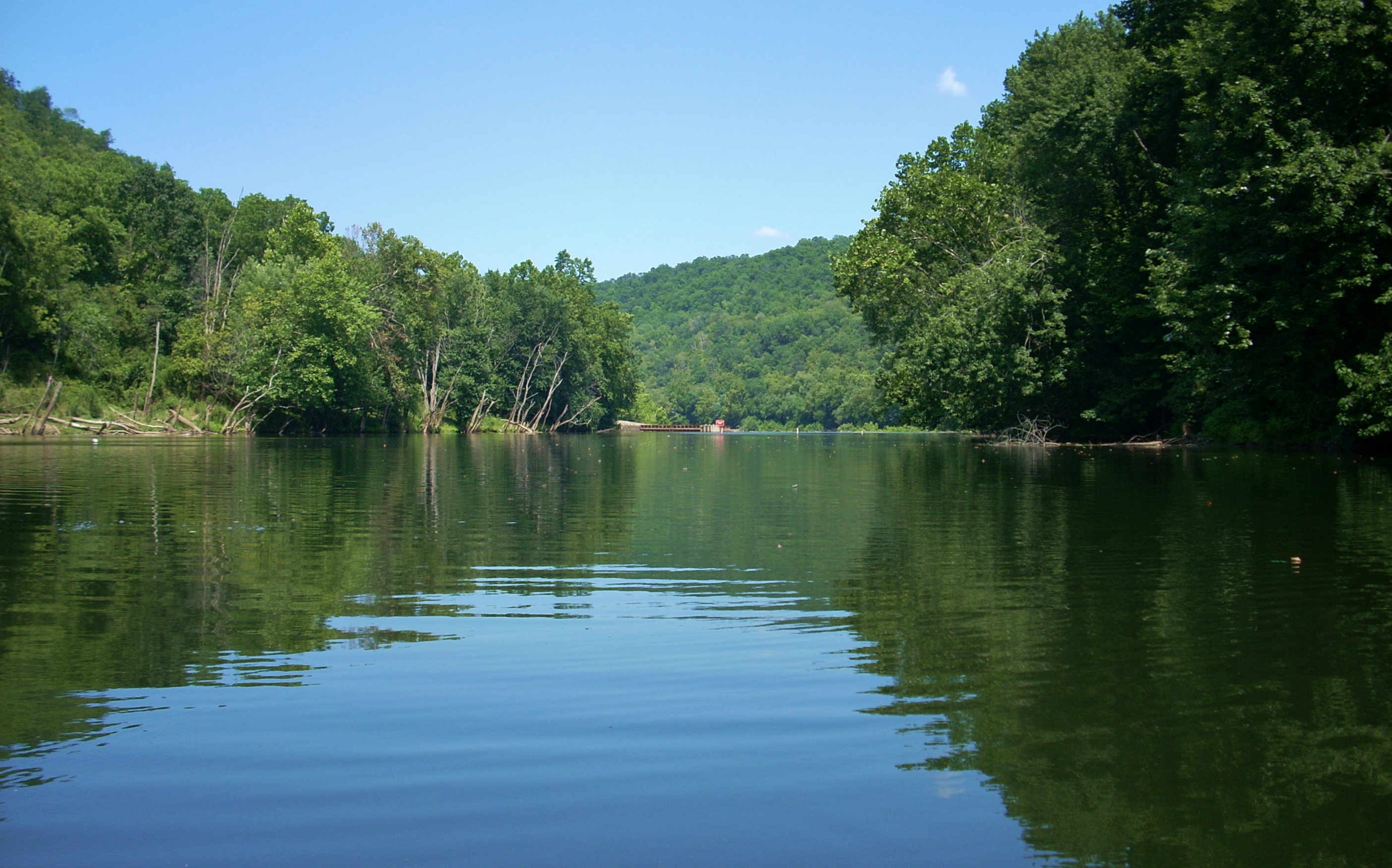
At mile 246 there are cliffs on the right side as well where the river makes a left turn. In fact, this bend is called Yellow Rock Bend and the cliff bottoms here do have a yellow hue to them. I’m assuming (usually wrong when I do this though) that they could be the namesake for the bend and for the town which I’d come upon shortly on the right. The best picture I was able to get of the rock was the one below which I took on the way back.
.jpg)
It was about at this point
too, that the train track which had been up and to the right atop the bank
appeared to either go through or behind these cliffs. This same track
would continue to border the river all throughout this stretch as it did on the
last one
between Beattyville and dam 14. I’d hear rather
than see 5 trains as I paddled today.
Anyway, at the aforementioned
bend the river takes the rough shape of a “W” down to dam 13 (I’m paddling from
the upper right side of the letter). The train track does not extend all
the way to the bottom dips in the “W”, but is instead receded a bit from the
river as it hits those spots to let in a bit of farmland. In fact, it does
so after the Salt
Rock Branch enters at mile 245 on the right side (it dry as far as I could tell
over a shoal today).
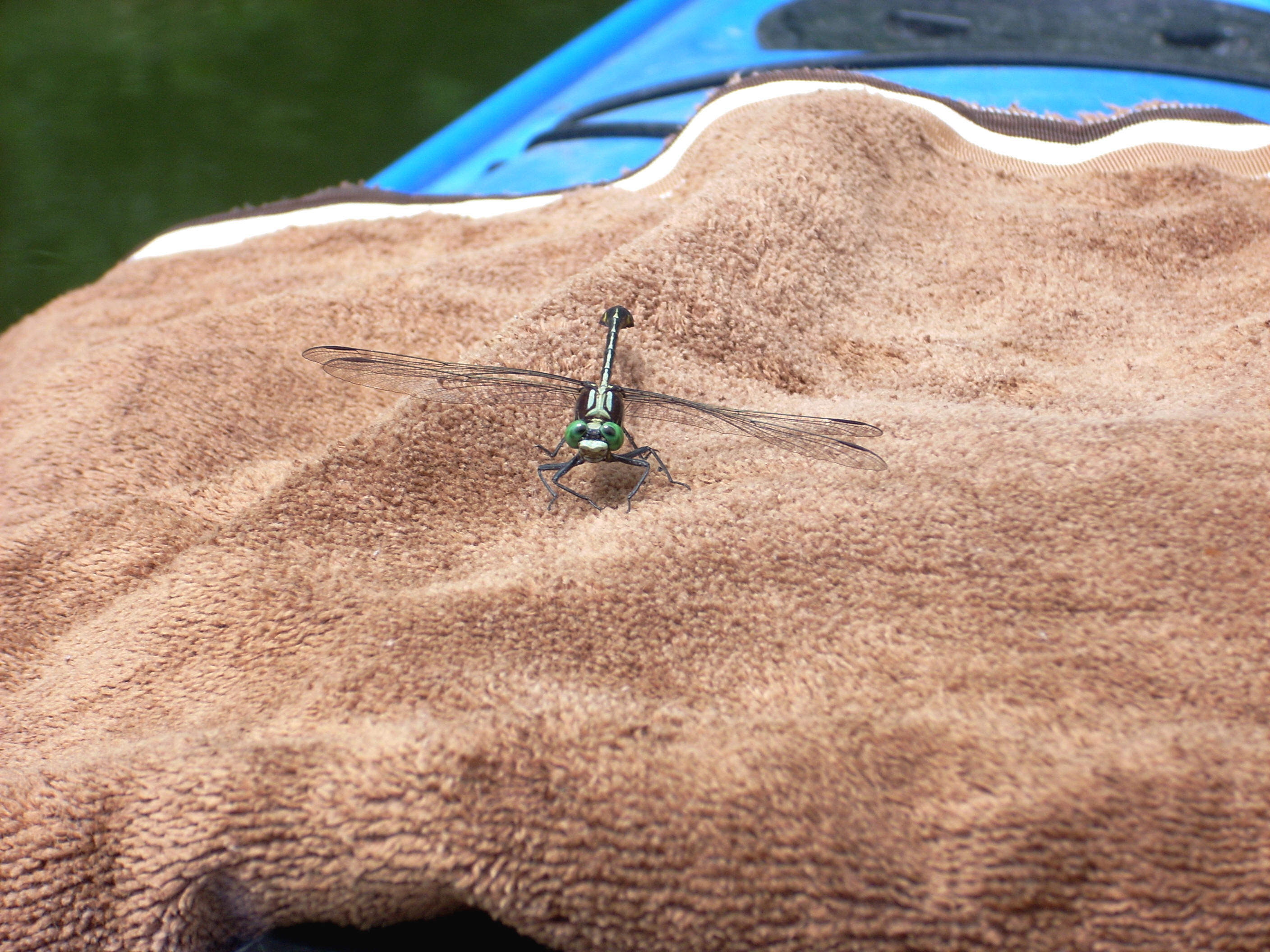
I noticed
what I thought were wood ducks here. I see these constantly. They’re
smaller than a regular duck and much more shy. They either swim or fly
away over the water (sometimes a combination of both as they kind of skim the
surface) to avoid me, and I’ve seen them dive under water and stay there for
an impossibly long time too. Forget getting a good picture of them with a
base model camera like mine, however. You'll never get close enough!
The Old House Branch comes in on the right at mile 244 (the first bottom of the “W”) but like most of the other streams it wasn’t paddle-able as it entered across a shoal. It was also choked with trash and other debris. As I looked to the other side I could see part of the town of
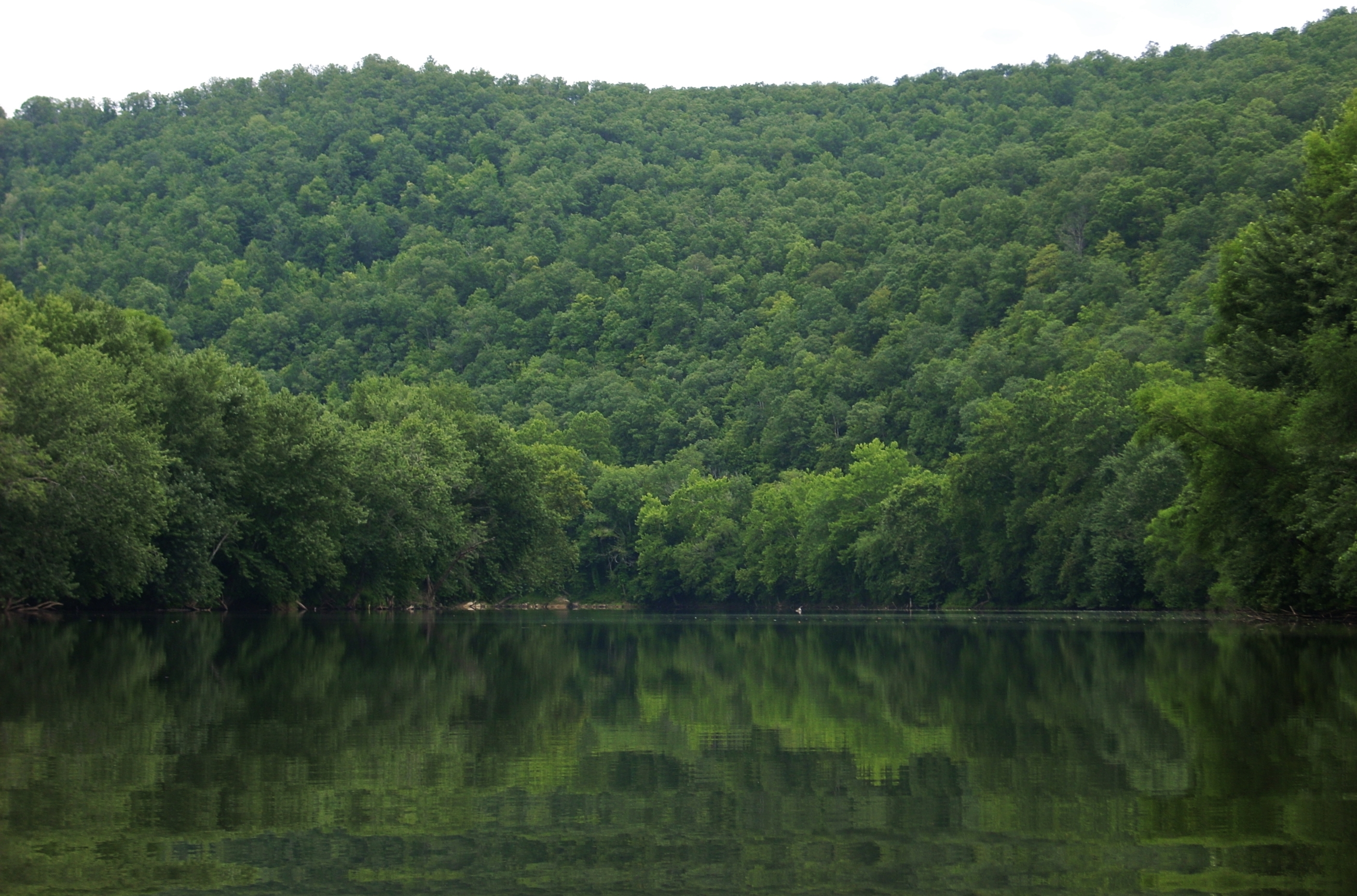
At mile 243 you'll pass the Long Willow Shoals Bar on the right. Cave Branch is directly across it and I was able to paddle maybe 100 yards up. It was at the mouth of this stream that I suddenly felt very small amidst all the mountains visible directly in front of me...
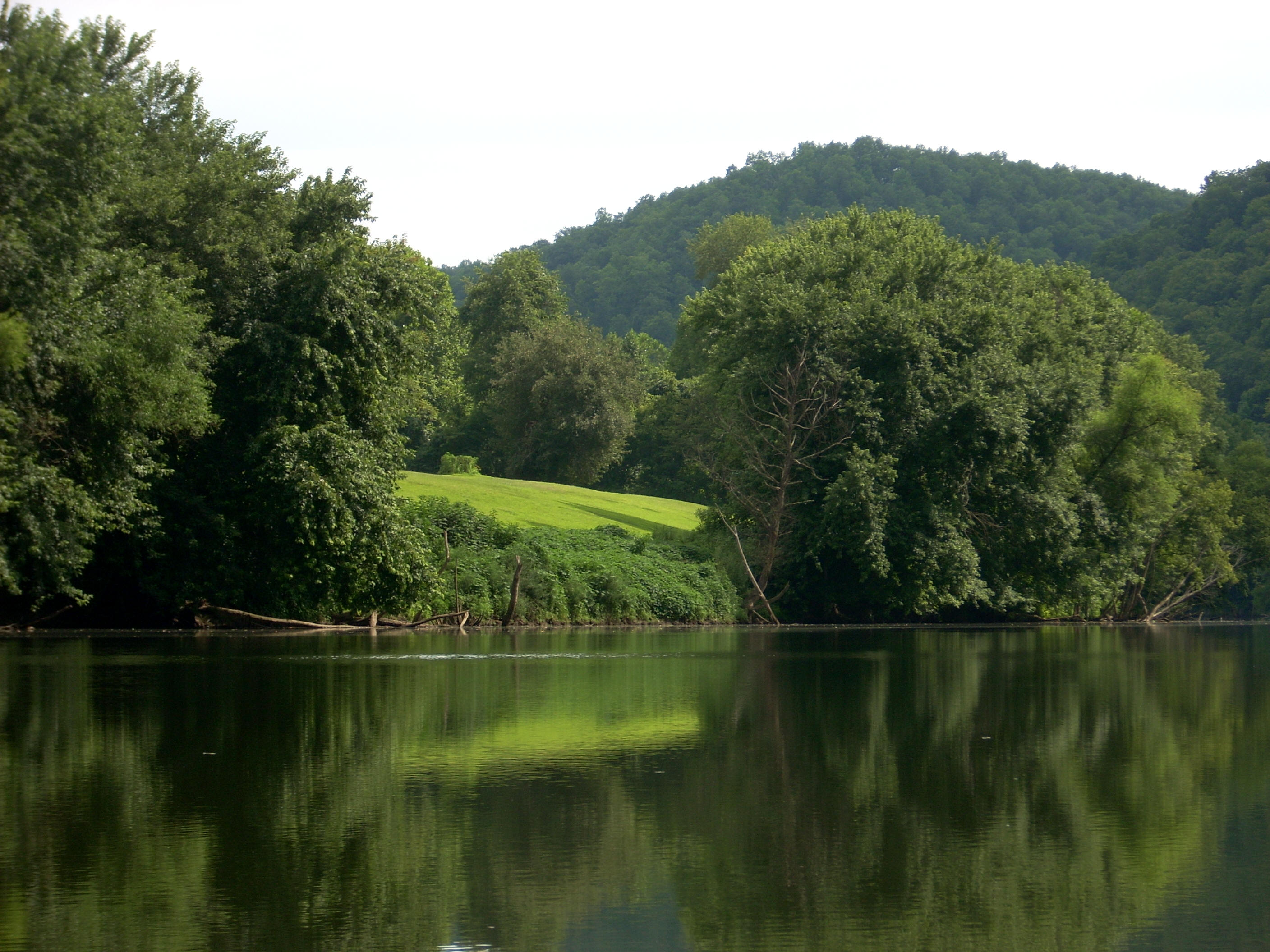
Willow Branch (dry) was on the right after the left curve
pictured above and it ushered in the community of
Somewhere on the left - and I don’t know what made me notice it - was what looked like a really old house. It was almost invisible amidst the trees and I don’t know if I’d ever be able to find it again unless it was winter with no foliage. The train track seems to recede again from the bank here to let in more farmland on the right just before dam 13 becomes visible down at mile 240. Upon reaching this dam I found about a 10 foot dirt climb to reach the top from the corner of the lock which is on the left side.
I plan to
put in at this lock and dam next time as there’s supposed to be a boat ramp
directly on the other side, but today I took my time heading back to
DIRECTIONS:
KY52 to KY399
South. The put in is on the south side of the river just after you cross
the blue bridge in