%20(1050x697).jpg)
2008
Dam 1 to
Only
4 more miles to go! For some reason I was reminded all day of Arnold Schwarzenegger’s chant at the republican convention back in 2004 when he was supporting George Bush for president: “Foa moa yeah’s… Foa moa yeah’s”. It didn't really apply to what I was doing other than the fact that the number 4 was referenced, but that was in my mind: "Foa moa miles... Foa moa miles!" At any rate, it looked like I was actually going to complete the river. I’m never certain, but it sure looked like it!
As I’ve mentioned
before, when I’m heading out for a trip I’m usually pretty fired up and I want
some tunes that will match that mood. I’ll select something that will
pick me up and throw me around a little. Anberlin is my usual
favorite in this regard, but I also like
the band Mae’s "Singularity" release and this is what I chose for the
ride. I was singing to it the whole way out –
just like that scene with Tom Cruise in the Jerry McGuire movie – all fired up!
After all the
craziness on Wednesday trying to find a put-in for the Eagle Creek to Dam 1
section, I knew exactly where this ramp in
Carrollton,
Kentucky was simply because I'd already driven past it in the midst of that
ordeal. Well, I can tell
you that this location in the midst of
Point Park is simply outstanding! You’ve got to
check it out if you haven't already – highly recommended!
What you get is not only a sweeping
view of the
You know what I think? I think that the first ramp in Beattyville and this ramp might be my favorites on the river. They’re both in scenic locations, they both appear to be well maintained, and they both look relatively safe. I got my gear and boat down and headed out! Below is a photo taken from the park, with more to come at the end...
I'll start as I have from the
beginning at the furthest upriver point -
Lock and Dam 1.
However, I have to first mention something I encountered on the way upriver. Would you know that the river gave me a gift?!?
In the distance at one point I saw a basketball floating toward me. OK…
I’d seen plenty of basketballs on the
Once I got up to the dam at
mile 4 I
noticed a couple people who looked like they were camping near the beach
(there’s one on both sides here). What a fantastic spot to
do it in! I wasn’t too sure, however, that they should have been there. After all, I knew there to be "No
Trespassing" signs up there on the grounds. For that matter, I can’t
now bring myself to post pictures of the
lock and dam grounds because it might identify these 2 and get them into
trouble!
%20(1150x632).jpg)
%20(1150x687).jpg)
%20(1150x712).jpg)
%20(1150x685).jpg)
%20(950x704).jpg)
As you head downriver
from the wide open area around the dam, you'll find that the river narrows a bit
to form a couple of squiggly curves in a backward “S” pattern that ends at mile 2.
Here you'll encounter Major’s Run which enters from
the left side along Heath’s
Upon emerging from the stream I was looking down a long, 2 mile alley which extended all the way to the Ohio River. Farmland continues on the left side in here while on the right the outskirts of Carrollton will start to become more apparent.
You can't quite see the Ohio River at first, but you will be able to see what the charts indicate as the Admiral’s Landing Dock on the left. Admiral’s Landing looked like it must have been (or could still be – I couldn’t tell) a bar and restaurant housed in an old barge on the bank. It looked pretty cool, although bank erosion must be a concern!
%20(1150x720).jpg)
As I was passing
under some power lines soon after this I noticed what must have been about 50
crows up there – I had witnesses! Unlike last year I was
actually going to be able to finish the river! I wouldn’t have to swim
any remaining lengths as I’d pledged I'd do if something bad happened!
The blue bridge
for US42 was next to appear, and as I neared it I could see the
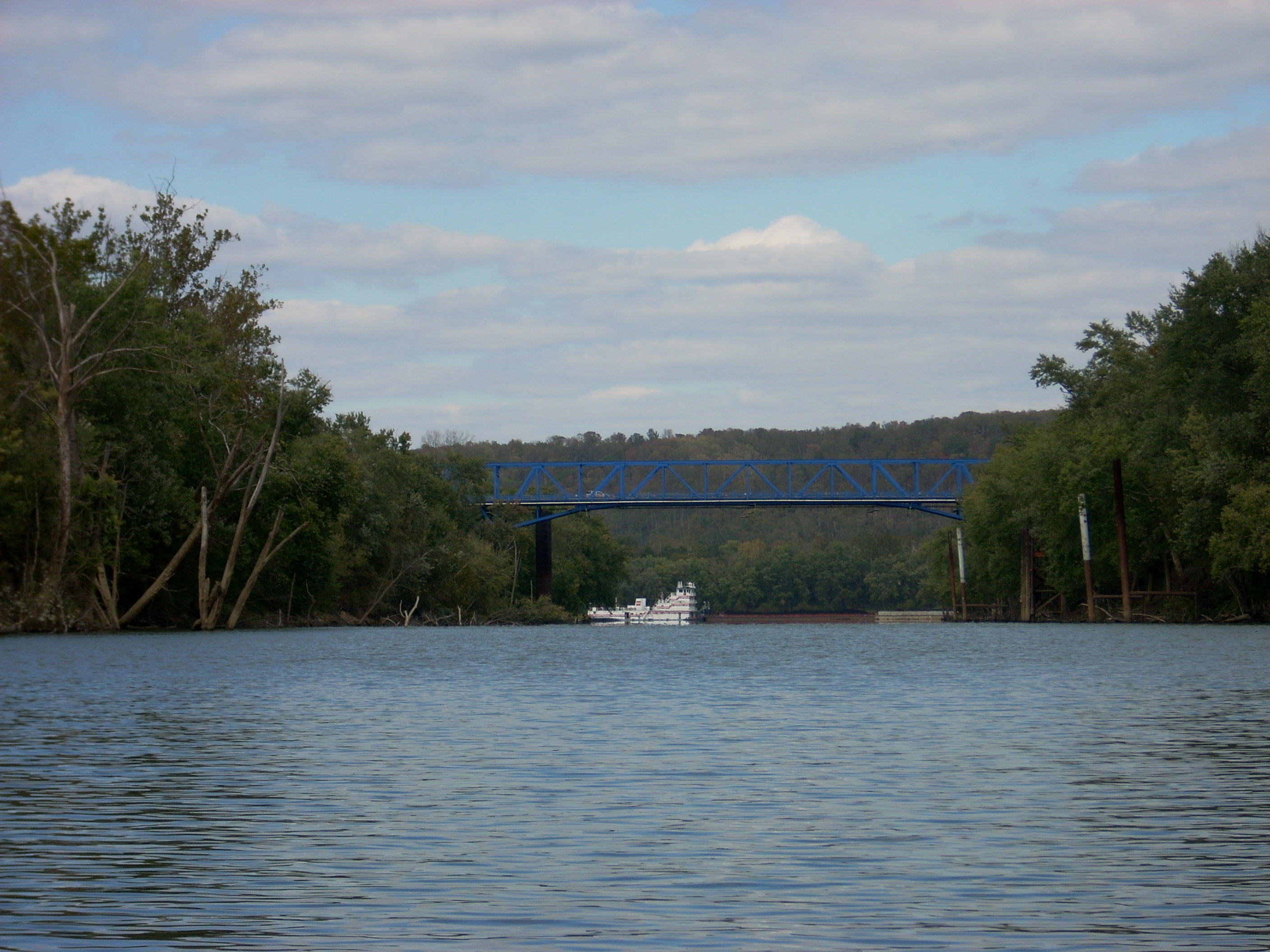
Update 2009 – While out here to celebrate the 1 year anniversary of this trip, I was thrilled to see a sternwheel boat (the Barbara H.) at about this point! Given all the time I’ve spent on the river I've really gotten to appreciate its history, and that's led to a realized regret that I was not able to see all the steamboats and sternwheels that once plied the river. Well, at least I’ve now had a chance to see a little bit of what things might have looked like. A sternwheel is truly a beautiful thing to see on the river!]
Anyway, before the
bridge there were visible remnants of an old barge facility that the charts
indicate as belonging to a
Liter’s Quarry
location on the right. Liter's also had a quarry in the upriver section
near Lock and Dam 2. Meanwhile, on the left
side after the bridge was the community of
The pictures below were taken at the
mouth of the
%20(1150x568).jpg)
%20(1150x575).jpg)
But I wasn’t quite ready to
call it quits yet… I was curious to see just how the
%20(1250x493).jpg)
%20(1150x442).jpg)
After
enjoying some time amid the awesome scenery I started to get
pretty hungry. It was time to check out the River’s Edge
Restaurant (now
Welch's Riverside Restaurant) and see about that fish fry I’d heard about
from the fisherman I’d met upstream on Monday.
Once there
however, I just couldn’t get past breakfast! I noticed that
it was available and breakfast is my favorite meal even though it was now around 2pm.
Plain old eggs and a double order of hash browns for me!
The restaurant does have
windows in the back room that overlook the river but I didn't realize that.
I sat at the counter, but the meal sure was good!
%20(1150x575).jpg)
%20(1150x667).jpg)
When I head
back from a trip I usually do so in silence. I like to savor the memory of what I’ve
done. This time, however, it was different.
A friend of mine, Tom Forsey, is a very talented singer and
songwriter with 4 cd’s out and I’d brought along one of them, "Another Chapter
Down", with me.
Tom is a funny guy, and his songs are apt to put me in a great state of
mind as I think of him and listen to his lyrics. We’re both
advocates of the outdoors and of “old school” values.
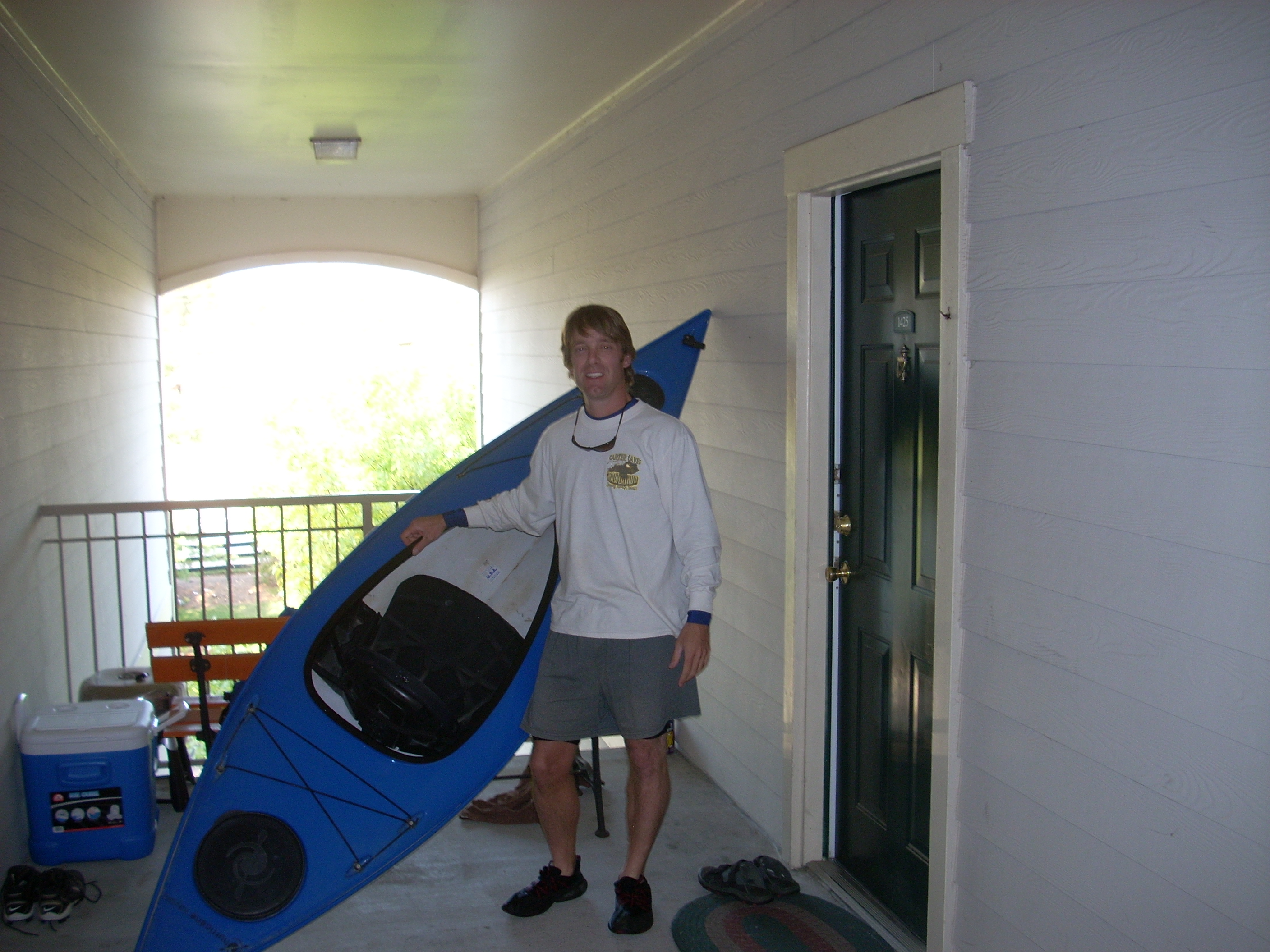
Anyway, when I
got back home I saw a neighbor and asked her to take a picture of the crazy guy
who had just paddled the entire
James
DIRECTIONS:
The easiest way is simply to type "Point Park Ramp" into Google Maps.
It always
depends on which direction you're coming from, of course, but coming in from