HIKING                                      HOME                                  PADDLING


2008 Kentucky River


Monday, August 25, 2008


Lower Hunters Bar at Sawmill Run to Dam 8 (Mile 140)


At about the time last year's trip ended I'd been reading a book called Mississippi Solo by Eddy Harris.  I picked up the book and could not put it down until I absolutely had to at page 100.  I figured this would be a good place to stop because I’d easily be able to remember where I'd left off - but I never got back to it!  The way last year's trip had ended, I hadn’t the heart to pick it back up again.  That was until this past weekend.   I decided that I’d start it again from the beginning – just as I had this Kentucky River narrative. 


Mr. Harris paddled the Mississippi River alone in the 1980's.  He did it from the river's start at Lake Itaska in Minnesota all the way down to New Orleans and his book on that experience was, for me, a wonderful and all absorbing read that I can recommend to anyone – paddler or no.  Even though the author went almost 10 times as far as I’m going, camping all the way, I feel I’ve found a kindred spirit.  There aren’t many people who decide to paddle the entire length of a long river.  As the saying goes though:  wherever you go, there you are!  I don’t think I would be doing this if I weren’t really meant to. 


It’s funny that when I started this journey I was approaching the river from a purely recreational point of view, and that now I’ve become totally immersed in it's history as well.  I do feel that the story of this river should be retold from a historical as well as from a recreational perspective.  That’s because so much of it's history has been forgotten and so much of it's recreational value is unknown.  Every time I either uncover something else about it or I'm told of something else, I am incredibly intrigued because I’ve discovered what many other river appreciating people have long known:  the spirit of a river can really get to a person.  I paddle it alone on this day, but I'm never truly alone.


I started out the day by heading to Nicholasville via Tate’s Creek Road.  I hadn’t noticed previously, but there are large swaths of farm acreage up for sale from Lexington to Nicholasville.  This saddens me because I know that much of it will probably be torn up to build subdivisions or shopping centers.  Nicholasville itself is really nice with tons of historical houses and a sweet downtown, but it’s become so incredibly congested that I try to avoid going directly through it if I can.  There has been so much growth in this entire region!  Once I got to KY39 it was better, however.  There are several old farmhouses out here with lots of land, although some of them are in need of some TLC.  My grandmother grew up in a farmhouse similar to these in rural southern Indiana near Shawneetown on the Ohio River.


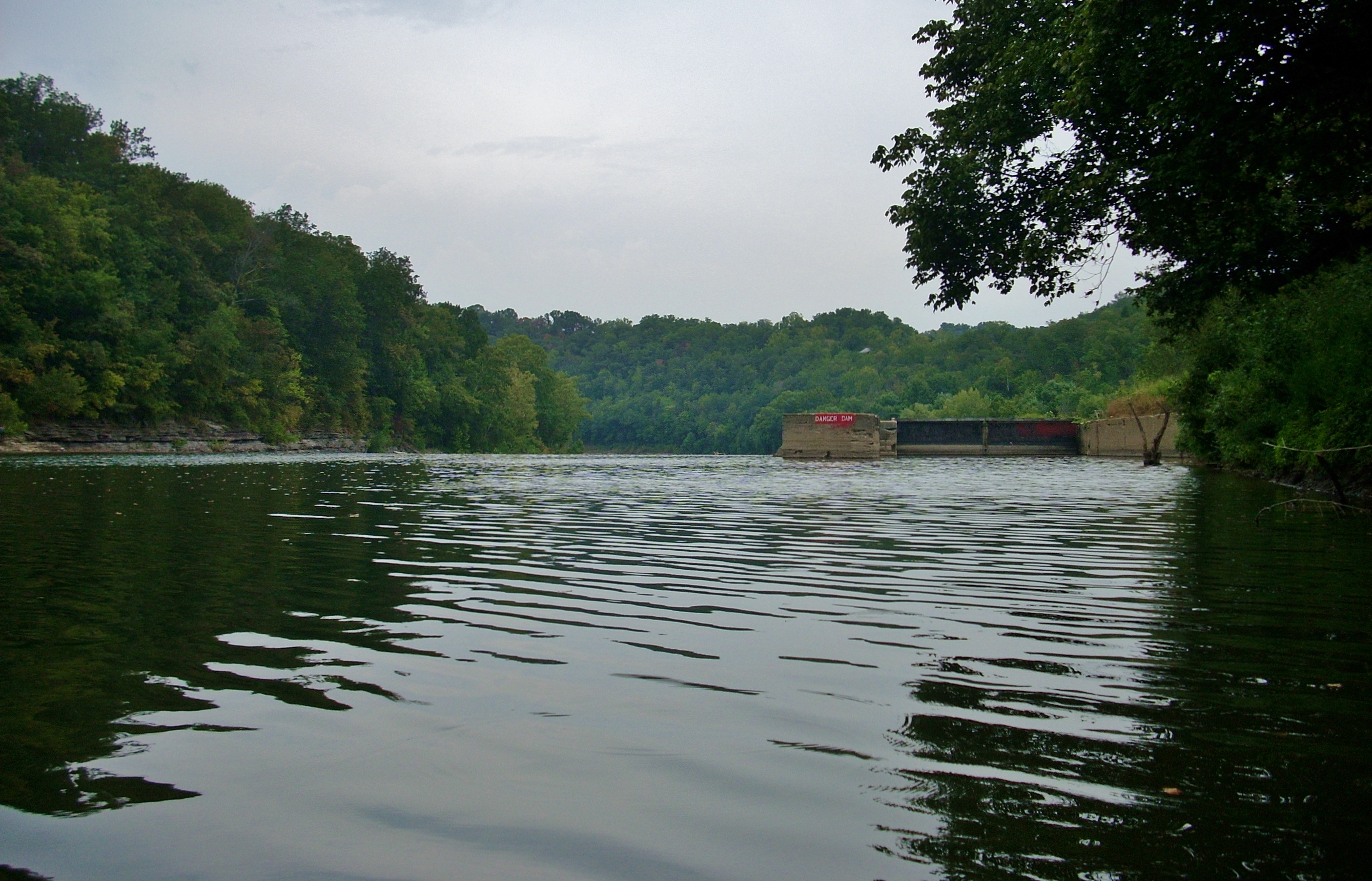
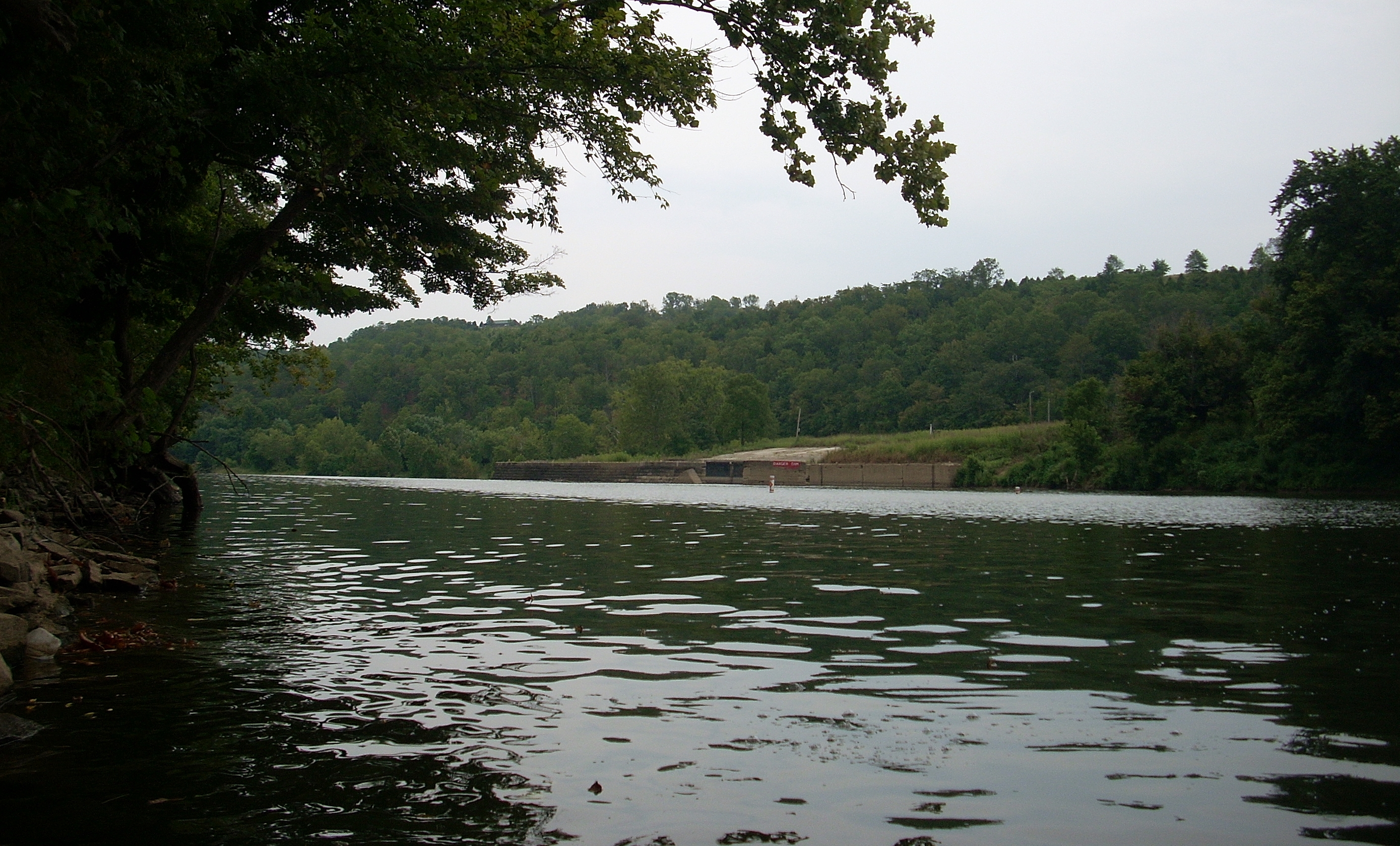
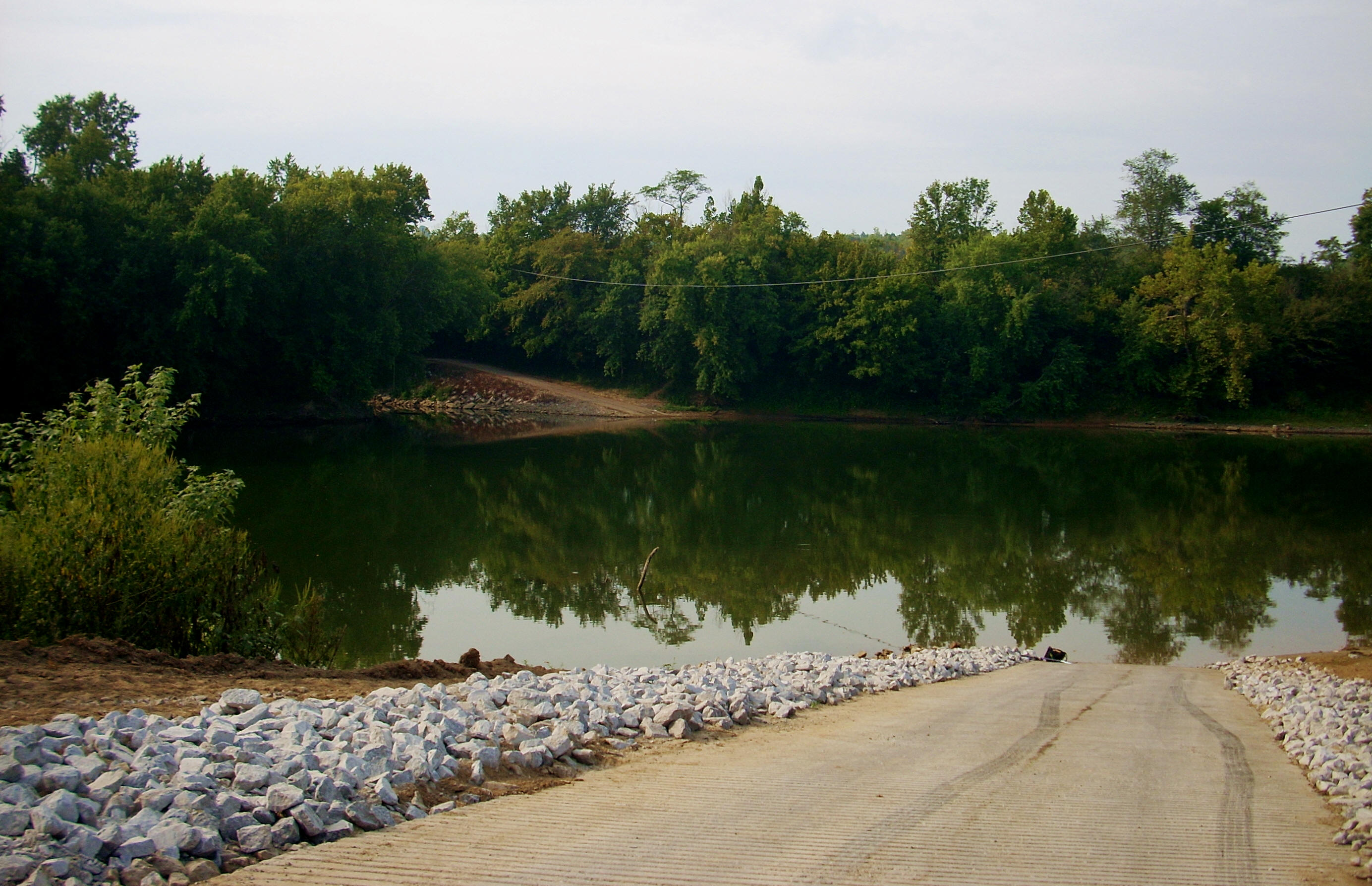
You'll find the ramp I used today at the end of KY39 at the river.  It's alternatively called the Nickell Boat Ramp or the Highway 39 Fish and Wildlife Ramp.  It’s nicely paved.  The community of Paint Lick is located near here, as was a ferry of the same name which operated until 1950.  Paint Lick was, in fact, another one of the stops for the showboats I’ve mentioned.  There’s also another ramp here directly across the river - the Buckeye Ridge ramp.


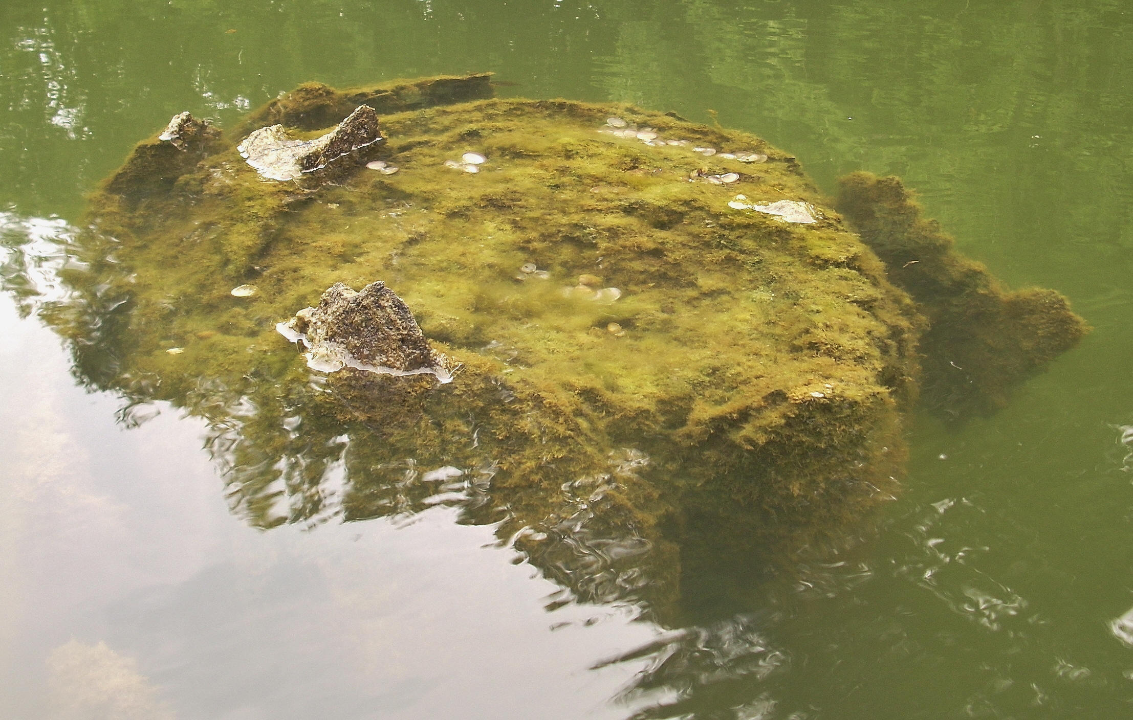
I began my day by paddling up to the Lower Hunters Bar at Sawmill Run, the point at which I'd stopped last Thursday.  There’s a shoal here and from a distance away I spotted a couple blue tinted figures here.  At first I though they might be herons but as I paddled closer I thought:  “Boy, those herons seem to have extremely long necks!”  Turns out, these were 2 pipes sticking out of pails in the ground!  They weren’t there last Thursday and I had no idea what they were for, but they did give me a chuckle.  (As mentioned in the last entry, this shoal either was or was near the spot where the old Lower Hunter’s Ferry ran.)  


At any rate, you'll have forested hills on your left side here which are rocky just at the shore.  I noticed for the first time too, that the leaves were beginning to turn color and this made for a nice, nearly fall-like scene on this side.  As for the right bank, it was composed of mud and/or sand with a landing on top 15-20 feet up the bank and, for about the first mile and a half, there were several getaways and cabins here in the midst of farmland (it looks like River Road accesses these spots). 


At about mile 147.5 there was a ramp with a little dock of 4 boats, and in another spot was what appeared to be a very old lifeguard stand made of steel.  Former beach here, or just a relocated chair?  I’m intrigued…  There was also a little shoal at a power line over the river on the left at mile 146.5 which was a bit deceptive because, like some of the shoals I noticed on the last leg of the trip, it was a lot longer under the surface than it appeared.  Wild Horse Branch next appeared over a large shoal on the right.  There’s a gravel road leading down to it, and while the large number of turkey buzzards I'd noticed loitering here on the way upriver were no longer around, a mess of noisy crows sure were!  Can these birds ever make a racket! 


After a curve right in the river at mile 146, I was back at the ramp where I started.  The Paint Lick Creek enters here on the left and I got in about 1/2 mile – the same as I had the Silver Creek on the last trip.  In fact, I’d get into the Sugar Creek further down almost exactly the same distance.  Thus, all 3 of the navigable creeks  in this pool are of roughly the same length (at least as of this time - the character of these streams can, of course, change).  There was a pack of dogs on the ramp to the right side of the mouth of Paint Lick when I entered.  It looked like a collie and a few puppies, and they peered at me from over the bank as I paddled in.  The collie didn’t take to me very well though as I stopped to take a picture of them.  I somehow merited a growl.  How rude! 


Once you paddle back out of this stream, a sandy beach will be on the right just downriver from the KY39 ramp, and from here you’ll launch into a backward “C” curve which is called the Teeter’s Turnhole Bend.  The right side of this curve will start and end with a rocky bottom at the river bank, but it’ll tower higher in the middle and there are a number of spots which would be nice waterfalls at higher water.  Dry Run comes in at one of these, but it was indistinguishable from the rest - dry.  In fact, that name seems awfully familiar... Yep!  Dry Branch at mile 161.5, Dry Run at 173.5...  I thought I’d passed more “drys” but there are certainly a few streams with this name. 


The next 2 streams should, I believe, be about ½ mile further down than they appear on the navigation charts.  The first, Teeter’s Branch, enters dry over a large shoal on the left at mile 144.5.   Teeter’s Ferry ran across the river somewhere in here at one point.  In fact, on the opposite side I saw remnants of a metal ladder at a smaller shoal – was this possibly used in conjunction with the old ferry?  The second stream, Yates Branch, enters from the right at about mile 144 and it looked like someone lived in a nice old cabin here. 


After these streams the rocky bank briefly switches to the left leaving you with some nice farmland views on the right at the top of a landing maybe 10 feet up the bank. 


As you look downriver here you may also be able to spot a boat on the right at the end of your line of vision.  Upon reaching the spot, you’ll find what looks to be a private camp which, in the minds of kids young or old, must be absolutely idyllic (I'd later find out that this is the Sugar Creek Resort)!  There are a few ATV paths and roads which lead to it and there’s another shoal as well.  There’s also what looks like an old pier in front.  At first I thought that this might have been part of the old Davis ferry which used to operate in this area but I later found out that that ferry ran closer to the mouth of the Sugar Creek which I hadn’t quite reached yet.  This just left me to wonder about the pier… 


Anyhow, once you do reach Sugar Creek, you'll have arrived in a location that has incredible history on both sides of the river.  On the left was Quantico Landing, once a premier tobacco market whose fame in the early 1800’s extended all the way to investors in Britain.  This bygone community once had a tavern, hotel, sawmill, gristmill, tobacco warehouse, and the Harris (or Davis) Ferry which operated until 1939.  Some of the structures extended all the way back into the Sugar Creek which comes in at about mile 142.5.  I'll describe this creek before turning my narrative over to the history on the other side of the river...


Sugar Creek was one I paddled into about 1/2 mile, and in doing so I found it's beauty to rival that of the Boone Creek back near the I75 Bridge.  Part of the charm here included little rock cliffs which extended all the way to the streams’ end at a rocky shoal - a shoal from which you can spot a couple of old barns.  If you take some time to merge into the tranquil atmosphere here, you might find your mind drifting back in time to imagine what Quantico might have looked like back in “the day”.  Of course, with the little cliffs here too, you’d also be able to see a few waterfalls during higher water periods – altogether, this is one fantastic creek!


With Quantico Landing on the left, First Vineyard used to be (and now is again as I look in 2019 - check out Facebook!) almost directly across the river.  A man from Switzerland - John James DuFour - came to the U.S. in about 1800 and spent two years searching for an ideal spot upon which to start a vineyard.  This turned out to be the spot - our nation's first commercial vineyard!  I’m not sure how many people knew that – I certainly didn’t!  It only lasted until 1809 though.  Apparently it was doomed to disease and frost, and so the business ended up moving to Switzerland County (specifically Vevay) Indiana.  Sadly, nothing was visible of this old winery when I passed, so I was very happy to see a new winery reestablished here in the very same spot!  Coming down at one point was another boat ramp remnant, and I had to wonder if it had been used by the vintners or perhaps by the old ferry?


Next, at a sharp right bend in the river, I could hear the Lancaster water intake off to the left.  This intake was smaller than the last two I'd seen and it was only partly visible through the trees.  The Davis Creek comes in here too, dry.  Right at its shoal, however, was a partially hollowed out tree trunk that had become a little habitat for mussels and algae – an interesting microcosm of the river ecosystem.


The sight on my right, however, really brought me down.  You might as well have put a sinker on my heart, because it went straight down.  Remember when I mentioned the fishing lines in the last entry that sometimes get caught in the trees?  Well, a bird had been snagged here and died.  It was a large bird, and I wondered if it might have been a heron considering that they like these shady overhangs.  It could also have been a turkey buzzard too though...  Either way, this must have been an agonizing death as the poor animal tried desperately to free itself only to get further snagged.  Truly a lousy way to go!


As you straighten out the Davis Bar will be on your left, and the last mile from here to the dam at 140 will be densely forested on this side with nice farmland on the right.  Lemmetellya - lock and dam 8 is OUT THERE!  When I drove in to scout it last year, the most noteworthy things were the potholes in the road which, had you driven into them, you might well have wound up in India!  As for the grounds, I recall (I didn’t venture up the bank today) that there was only one structure left standing and it had been used for target practice!  As far as the portage, this one would be quite a walk around and you’d have to negotiate a steep overgrown bank on this upriver side to do it (although - as with the other lock and dams - there is a ladder on the side of the lock that you can use as well).


Y’know, with the exception of lock and dam 10 which was pretty easy to get around, if everyone visiting these dams were to throw a handful of little rocks down at the bank where the lock corners come in (on either end, it doesn’t matter) we might have some nice put ins at these locks in a few years!  Ha!  Maybe that and an occasional weed whacking during the summer months.  I’d be happy with that until they hired full time lockmasters again (at least for the summer) and added campgrounds!  Maybe in my lifetime…  :)


As I headed back I took the shot below of the hill which would have been part of the Quantico Landing landscape.  Davis Bar is visible on the right.  It was also on the way back that I heard almost continuous thunder in the distance which sounded like it could easily have been coming from right over my car back at the put in.  I was hoping this wouldn’t be like the trip from dam 13 to Old Landing that I made last month!  Luckily enough, I ended up staying dry (with no lightning!) although it did rain on the drive back.


Kentuckians sure like to shoot!  When I got back to the ramp someone was firing away.  I never saw them as they were back in the trees, but I sure heard them.  There’d also been what sounded like a shooting range in the dam 10-9 pool, and I heard shooting back at the ramp across from Red River as well.  I hear it all the time on my hikes.  In fact, one hike actually ended at a shooting range (at the Kleber Wildlife Management Area)! 


As a final note, on the drive back I passed the “Yee Haw Grocery” on KY39.  Nice!


DIRECTIONS:


Another easy one...  Take KY 39 South from Nicholasville and follow it all the way till it dead ends at the river.  Follow it from Nicholasville though or from another point north of the river because KY39 starts up