HIKING
HOME
PADDLING
2008
Kentucky River
Friday,
August 15, 2008
Two
Mile Creek to I75 Bridge (Mile 170)
This was a really action
packed day! It had a bit of everything. Have I mentioned before that
I may now be certifiably insane? I took 257 pictures today!
It was a misty morning
(couldn’t see anything at all over the I75 bridge) as the day started out with a
trip to Boonesborough State Park. If you go through the main entrance to
the park you’ll see the swimming pool just to your right side. If you then head toward
it and go to the left of the building adjacent to it you’ll see a gravel path leading up some steps. This path
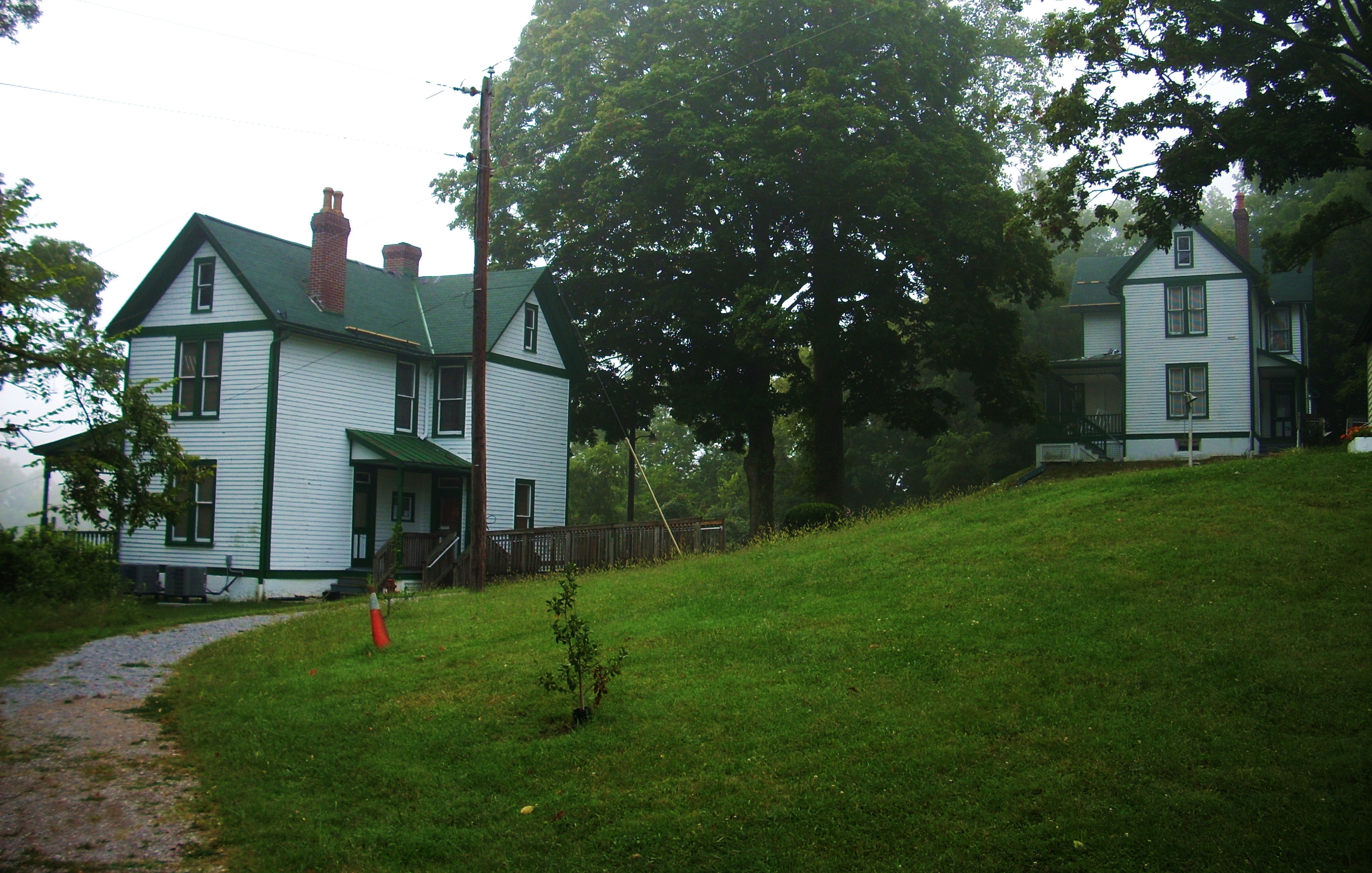
leads right to the lock and dam houses and – THE KENTUCKY RIVER MUSEUM!
I'd just recently learned of this museum's existence and I was very excited to
see it!
Now I'm sure I’m an official river
geek too because I fairly ran up that path! I couldn’t wait to catch a
glimpse! I went in the door to the first lock house and found it to be the
museums main entrance. A very kind woman there put up with me. I
told her what I was doing and informed her of my happiness to find her museum.
She said it would be OK to put the kayak in there and she told me a little bit
about the place.
The house I entered is
apparently the main museum and the other house has been left exactly the way it
was when the place was operational. There are other little housings
around the grounds too which were used to store some of the equipment. All
of it looks fantastic and its’ been very well restored. Will you
LOOK at this!
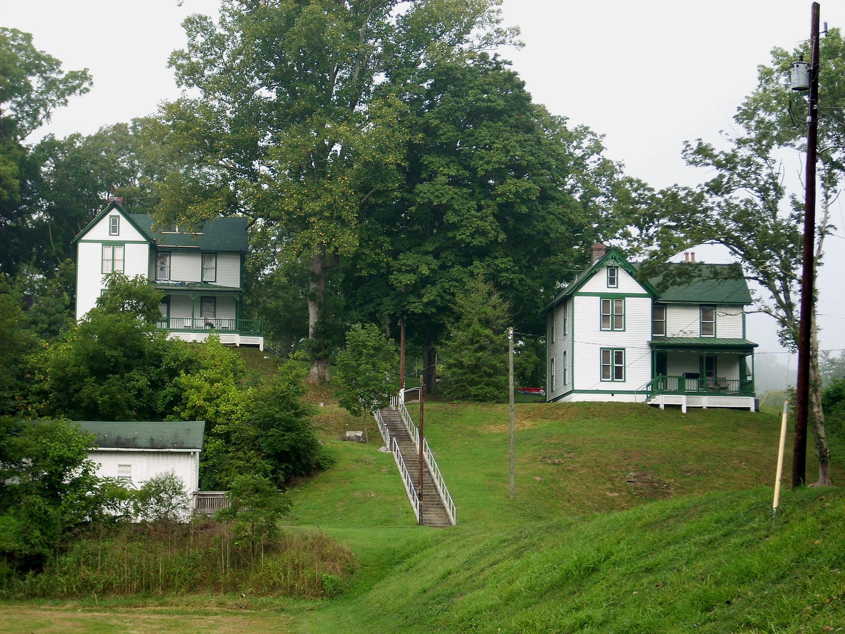
This lock was apparently operated by a man named
Walters who lived here with his wife and 10 kids - 9 girls and a boy.
Talk about a giving person! Lockmaster Walters had a job where he was at
the beck and call of anyone and everyone just about 24/7/365 and he still raised
10 children!?! I can’t even conceive of this! He even had time to
compose a diary of his daily observations which ended up being voluminous!
I am, without doubt, coming back here soon! Today,
however, I had to get going because I wanted to get to the 1/3 point of the
river at the I75
bridge and that would take me a while. It was a real struggle leaving the museum
though.
I’m torn: I’m not sure I’ll put in directly
upriver from this dam again. It’s a pretty long walk around and down with
your boat and gear. Instead, I think I’ll do it like I’ve done it in the past: go to the ramp just below the dam, paddle up and port around.
It’s probably 6 one way and ½ dozen the other though - I’m just not sure.
Take your pick, but they don’t seem to mind either way. BE CAREFUL of course!
Getting started, I made the most of my equipment
haul. It was fun as I imagined myself as a lockmaster taking his gear down
to the water. I doubt they had kayaks, but I’ll bet they hauled lots of
other kinds of equipment up and down these steps! As for the actual put-in,
you’ll have to watch out for goose droppings, but it’s pretty easy because it’s
kind of protected in a little pool on the side of the lock. My friend from
Wednesday had shed some light on this for me. I knew that the beach
downstream was
supposedly formed from the ice storms of the early 1900’s, but apparently this
little area above the dam was carved out by them as well when the ice piled up.
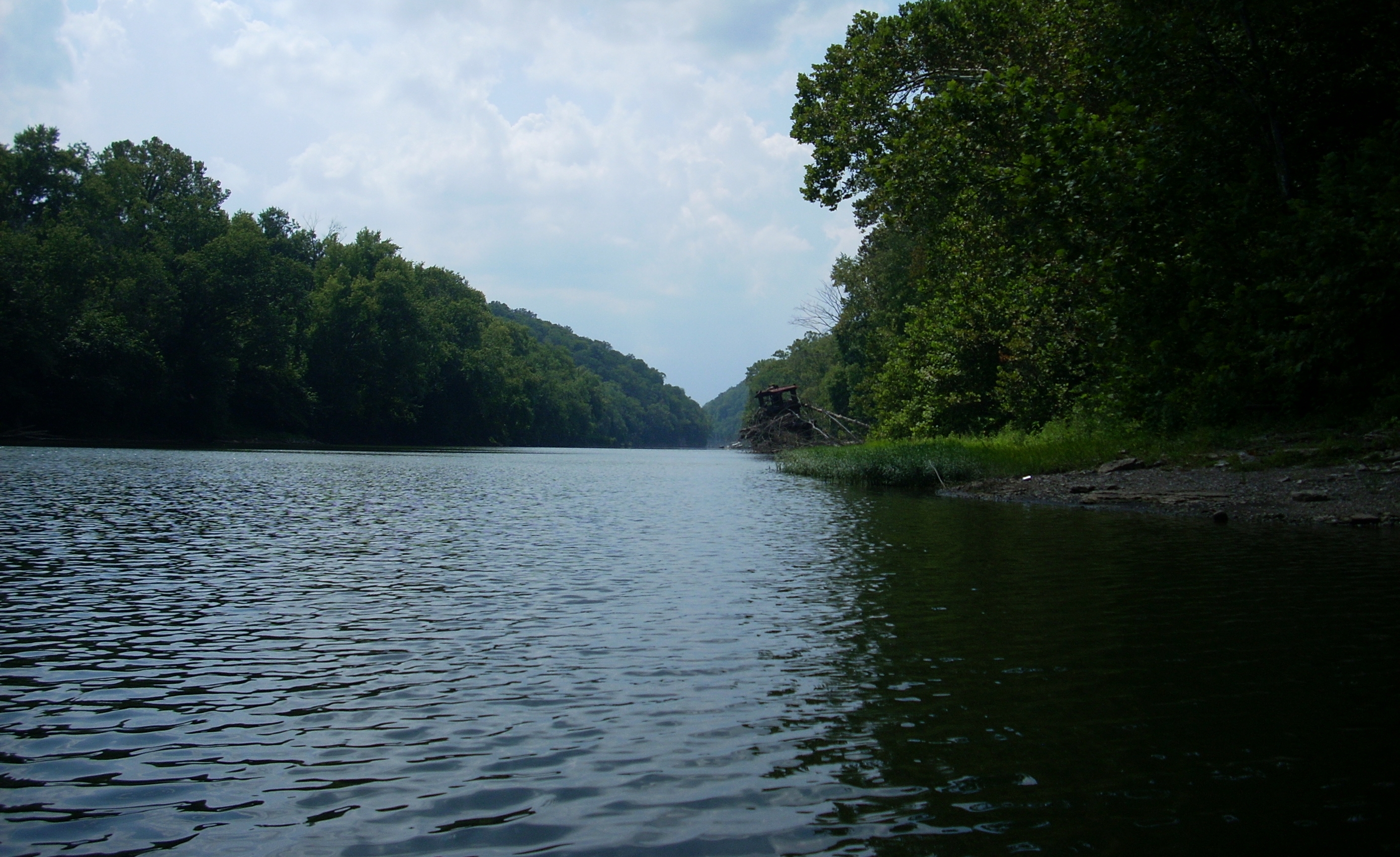
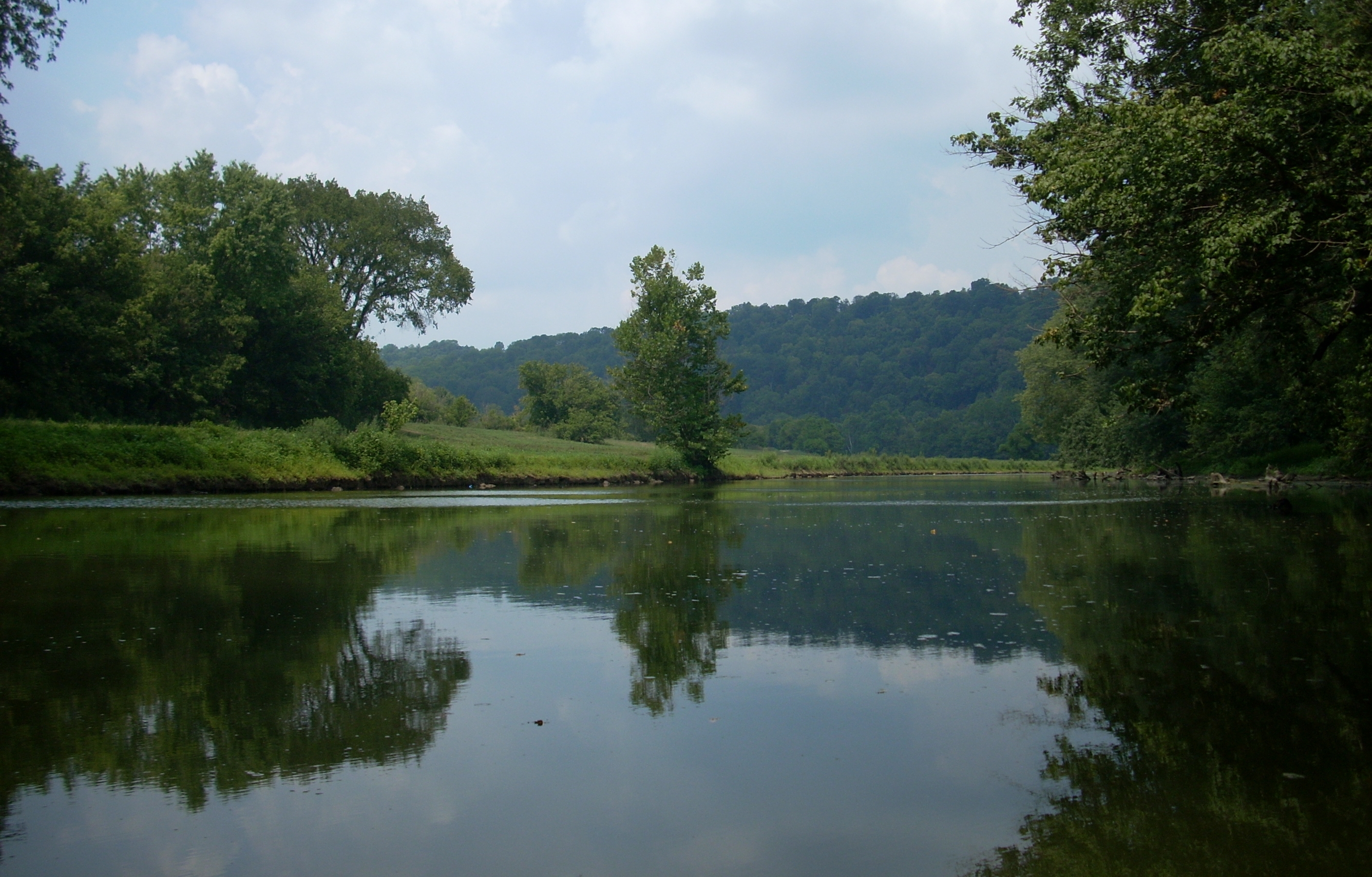
Anyway, it was still a trifle misty out as I put in and paddled up to Two Mile Creek
where I'd turn around and start paddling back downriver to technically begin my
narrative of this section at mile 179.5. In fact, the mist looked like “Smoke on the water!” Da da da…da
da..da da. Da da da…DA DA! (Deep Purple don'tcha know :)
You'll find the Boonedocks
Marina immediately
downriver from Two Mile as you head downriver towards dam 10. This marina
appeared to be a little larger than the one I'd seen back in
Irvine
at mile 218. It had about 30 boats today.
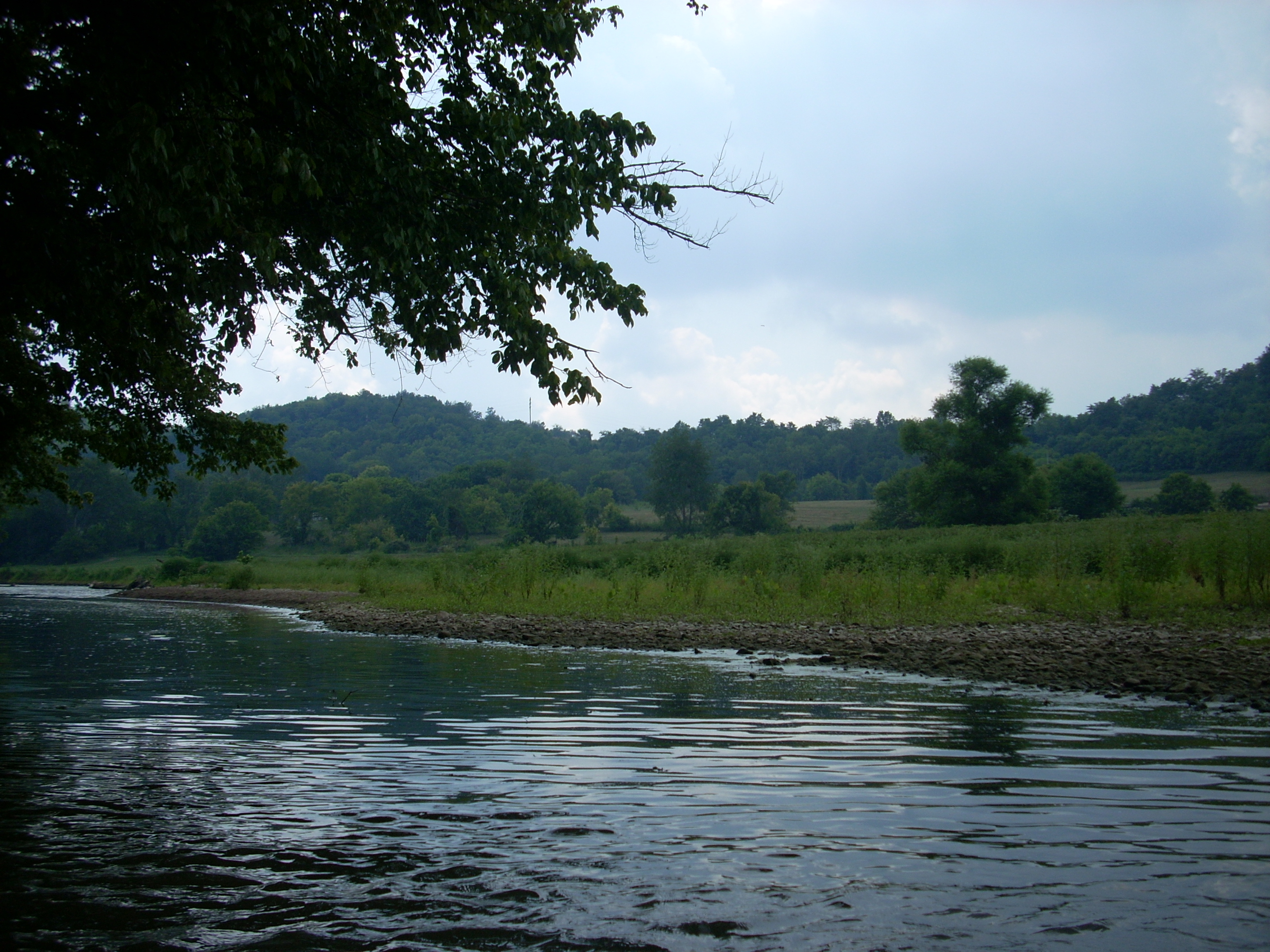
At this point you'll have farmland on your left and hills on the right, and it was at about mile 179 that I heard a
voice from atop this right bank: “How many miles per gallon do you get in
that thing?” There was a man up there with his dog just enjoying the
river, and this was somewhat funny because all I could see of the man was his
head above the weeds on the bank. It was like the old Home Improvement
sitcom show where all you could see of the guys’ neighbor was the top of his
head. What a marketing gimmick that was! You just HAD to see the
rest of the guys’ face (I don’t know if they ever revealed who that was!).
Anyway, this gentleman and I talked for about ½
hour. I mostly listened actually. I’m not usually much of a talker
in person. I think other people are much more interesting. Get past
a couple subjects with me and I’ll probably bore you to tears. Anyway,
this man had apparently done quite a lot on this river as well as others and he
mentioned having lived in the area for quite a while. He also said,
however, that he knew a girl who had drowned paddling the Boone Creek about 20
years ago. This was a little deflating. I’d keep her in my thoughts
for the rest of the trip. He also mentioned a couple more things which really
intrigued me. Apparently there’s an old mill up the Lower Howard Creek
behind the Halls on the River Restaurant and there’s also a spring back in Jouett Creek (aka. Dewitt Creek). I had planned to explore both of these
today so I was really interested to know this. I thanked him as we parted
ways.
By the time you reach some power lines going over the river at mile 178.5 the
city of Ford
,
Kentucky will be on your right. I
couldn’t see any houses myself, but I did see what looked to be a rock quarry.
That’s because there was a rock pile which ran for about ½ mile all the way down
to the Ford Steam Generation Plant at mile 177.5.
There were 2 railroad bridges going over the river
in here and there was also a rush of
water emanating from the plant on the right along with some remnants of a very
large dock.
Meanwhile,
Otter Creek enters on the left side.
It
looked pretty large - about like the Red River
- and I got in for about 2/3 mile.
Again, these side creeks are really pleasant, and as I got further back into this one
the landscape cleared out and I was finally able to get a great view of some of
that rolling farmland that I’d been missing on the main river. The slope in one spot, in
particular, was real gentle and there weren’t many trees, so I
could see all the way up. I was thankful for this and took advantage by
getting a few pictures.
Getting back to the Kentucky, there’s another
marina between mile 177 and 176 and this one had about 15 boats, one of which
was a little sternwheeler called the Leland Davis. It was half
submerged and tilted over to one side, but it looked like it would be super nice if it could be
rescued and renovated. I don’t think I was meant to be materially
successful or it would have happened by now, but if I could I'd do it!

UPDATE 2013: I've just received an email from an interesting gentleman who
states:
"You made notice of a partially submerged paddle boat that is at a boat dock
just up river from lock #10 at Boonesborough, named the Leland Davis.
Here's what I know about it... About 15 or so years ago, I was at my
parents house and someone knocked at the door. He stated that he
wanted to lock through the lock, but the lockmaster was not there (at this time
the lock was still in operation and run by the Corps of Engineers). He asked if
I would contact the lockmaster so that he could lock through. I called the
lockmaster and he told the gentleman that he would have to wait until tomorrow. This guy then invited me down to check out his boat and it was the Leland Davis. He gave me a tour and some of its history, little of which I remember. If I
recall correctly, he had bought it somewhere up the Ohio river and had partially
restored it. He, and this group of people he was with, were sailing it down to Boonesborough to what at the time was the Davis dock and restaurant (all locks
were still operable at this time). I think that they were going to use the boat
for cruises or a floating restaurant or something like that. Nonetheless, later
that year I was down around the Boonesborough area so I drove by the dock to
see if they'd made it. The boat was there (floating). Many years after this I was
there again and noticed that it had sunk. I guess it's still that way."
My
many thanks to David in Carrollton for this interesting information!
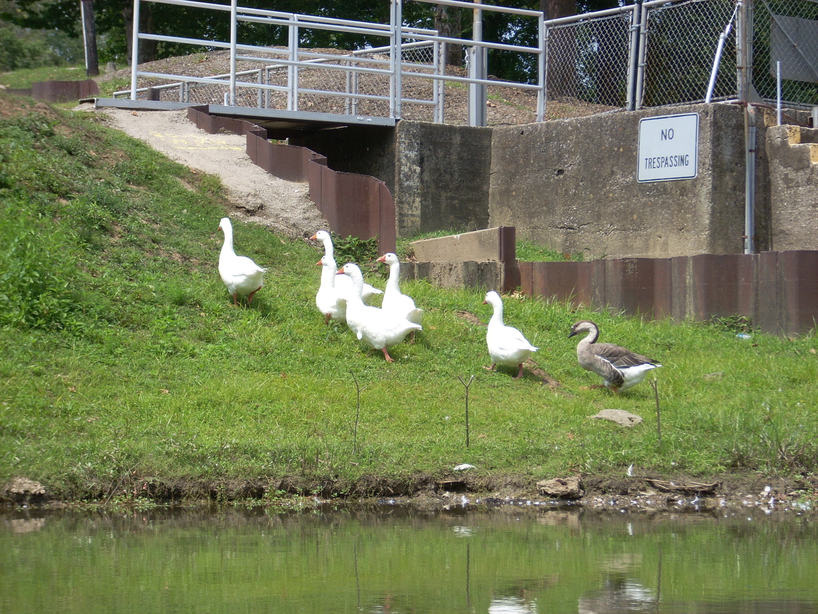
Lock and dam 10 where I'd
originally put in would became visible in the distance at this point. The
approach seemed similar to the approach to dam 13. There were remnants of
an older dock visible as I approached the lock side, and I could also
see some geese where I planned to take out at the very corner. There were 6 white ones and a darker one. They waddled off as
I came near.
This portage would be relatively
easy compared to the others because the access points are quite easily
accessible. One side has a real gentle slope and the other has a beach.
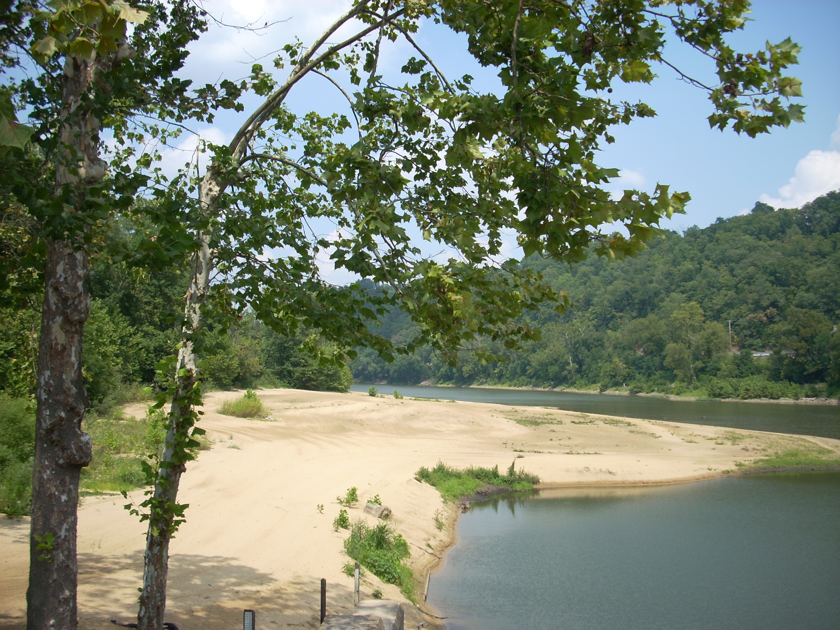
The beach is below the dam at
mile 176 and it's
actually quite large and inviting. Thing is, it’s not used much anymore
due to the coliform bacteria which make swimming in the river a dubious
proposition – hence the park pool. This is really a shame because I’ve
learned that this beach used to be quite a hangout back in the day. In
fact, before the government purchased the land for the park there used to be a
vacation getaway located here which had a dozen or more little cabins.
[I've since learned a bit more about the beach. According to Gary of Boone
County, it used to be quite a party beach but when it got too rowdy in the early 1960's they had to shut it
down and it was then taken over by the state. Thanks Gary!]
The book I’m reading (The Kentucky River
by William E. Ellis) mentions that there also used to be showboats that
would come up and down the river in the summer and play to audiences along the
shoreline. This was one of the spots they’d regularly visit, along
with about a dozen others.
Another thing of interest here (as per the navigation charts)
is that the first
ferry chartered to operate on the
Kentucky River
was established in this location.
From this beach we
have another shape taking form in the river - a slide. Unlike the slide
after dam 11 though, we’ll be going up the ladder and down this slide instead of
climbing up. The shape extends from the beach (mile 176) all the way down
to about the I75 bridge at mile 170. This first portion has a lot going on.
Once the beach ends you'll see a boat ramp on the same (left) side. This
is the one I mentioned at the beginning of this journal. I’ve
used it before, and it’s a nice one. There’s a campground here too.
Right after this ramp, as
some power lines go over the river, you can look left and catch a glimpse of
what the charts indicate is the Kentucky Stone Company quarry (I find in 2019
that this is now an
Allen Company quarry). Also, between these power lines and the KY627
Bridge there are what look to
be some more old pier remnants. There are
some remnants of old boat ramps too, one of which might have been a point for
that first ferry. When I passed I also found a very old submerged boat
(the ferry?) and a seemingly abandoned one too. In fact, this whole section
had a lot of interesting old boat hulks - especially if you count the Leland
Davis.
I would see more…
The River View Marina which comes in at about mile
175 looked to be the largest one I'd seen yet
with about 40 boats.
There will also be quite a few houses visible on your right side too, and
these extend from the marina all the way down to mile 173. This must be the most populated area since
Irvine
and Ravenna. After all, the
community of Boonesborough is right here and Winchester
and Ford are also close.
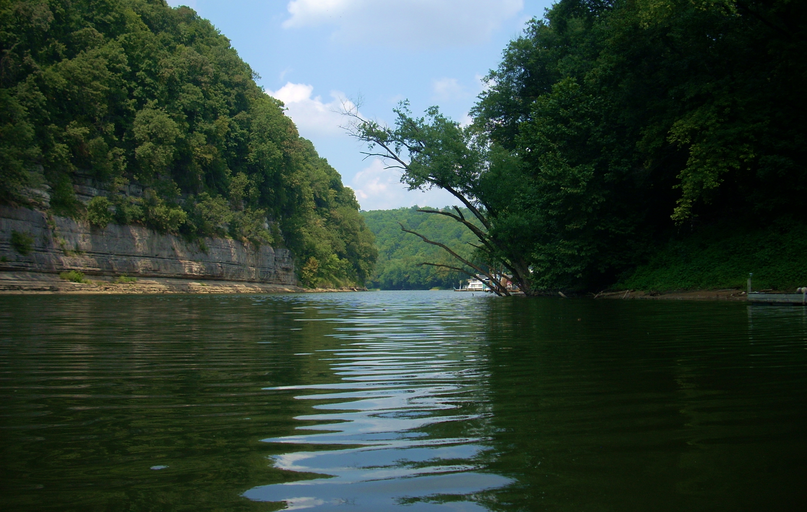
The largest rock cliff of the trip
so far was here too. In fact, this might be where the palisades
technically start – at mile 175. NOTE: Reviewing this in 2019 I see
that there are two businesses here on the charts at mile 175 now. One of
them is a restaurant - Waterfront Grille and Gathering - and one is a business
that rents canoes and kayaks! It's called Three Trees Canoe and Kayak.
Both of these can be found on Facebook.
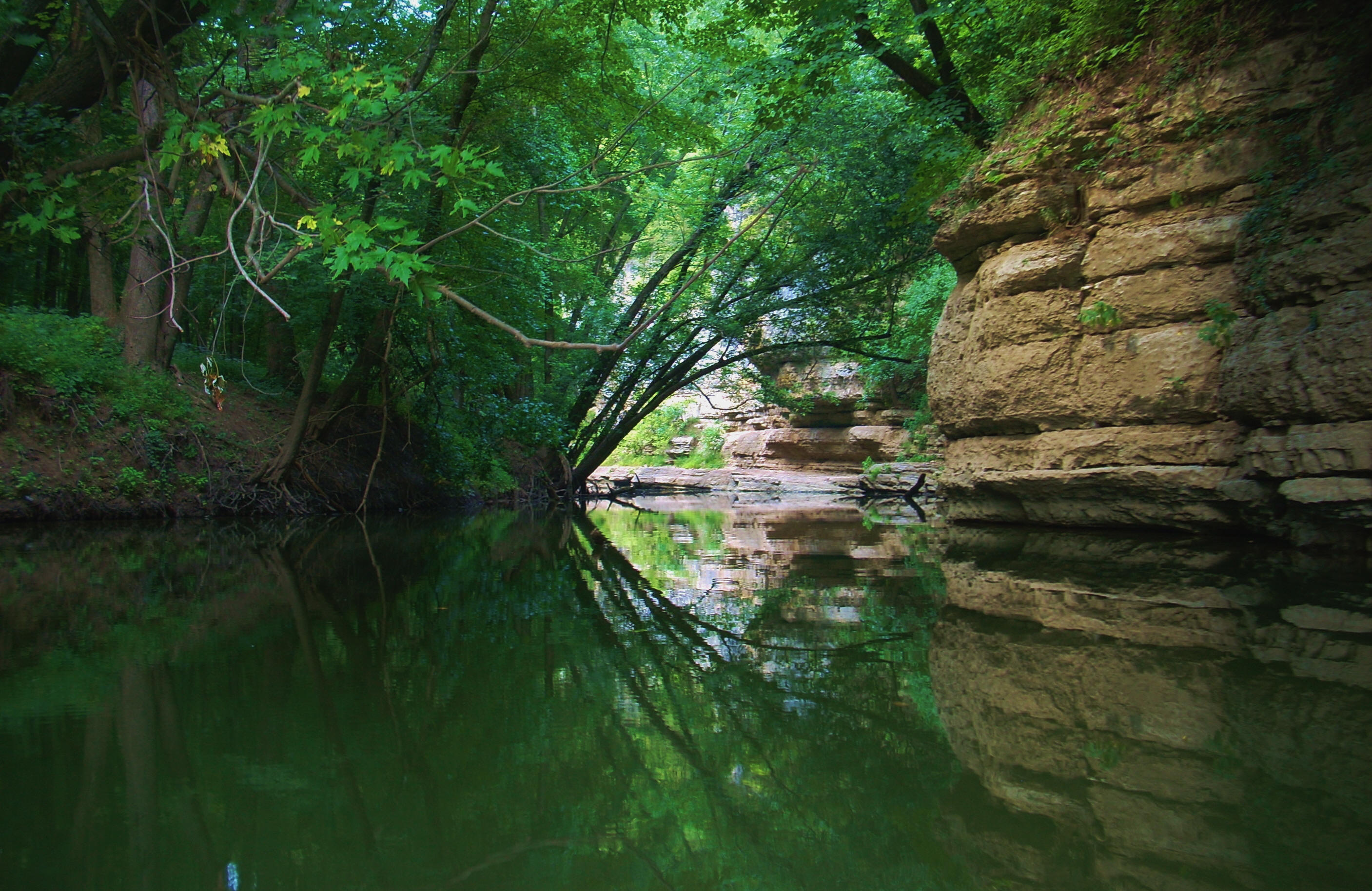
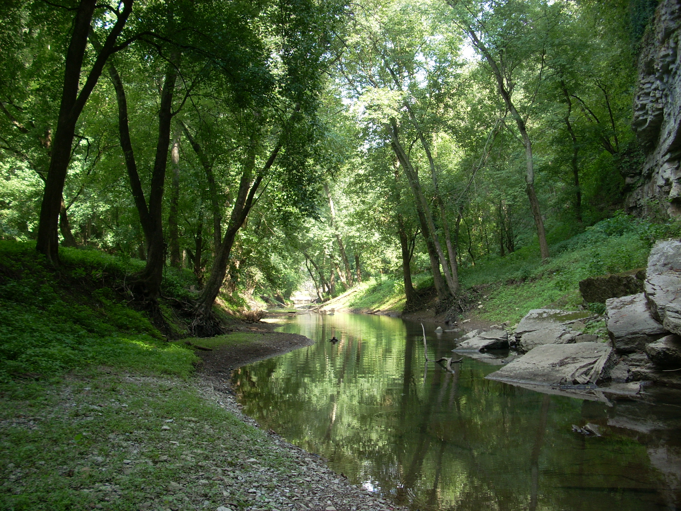
The Lower
Howard Creek
next
enters from the right side amid the community of Lisletown after you've made a
sharp left turn in the river.
What can I say about
the Lower Howard? Only that it’s one of two magnificent
beauties you’ll see in this section! You might have to get past a deadfall at the
entrance as I did, but once you do you’ll wind in and almost immediately see
Halls on the
River.
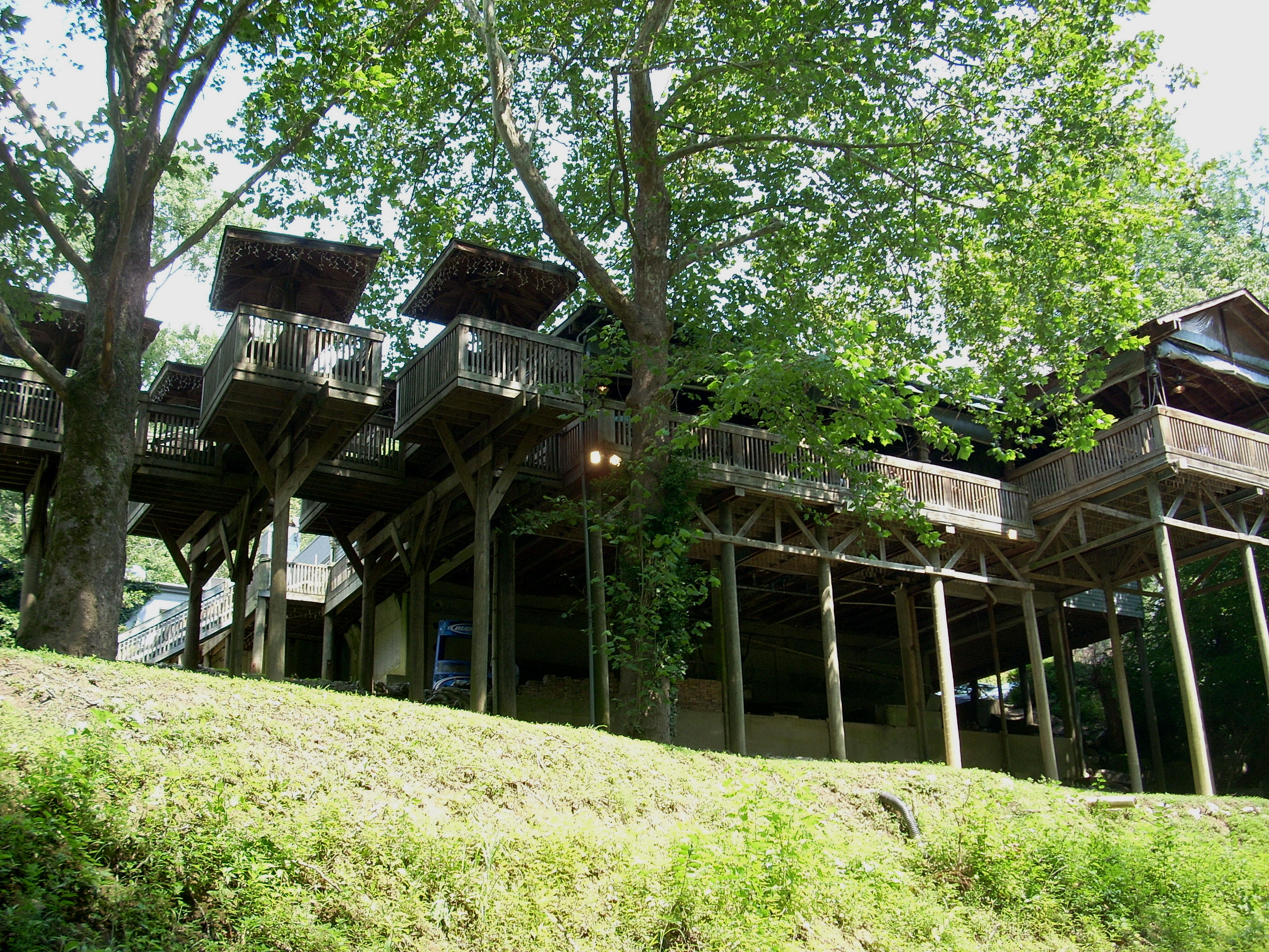
This restaurant (which would probably be more aptly named Hall’s on the Creek :)
has an awesome series of decks visible from down on the water and it even looks
like some of the tables have their own private decks. From my perspective, the whole thing had the feel of something out of
the Swiss Family Robinson. Incredibly nice!
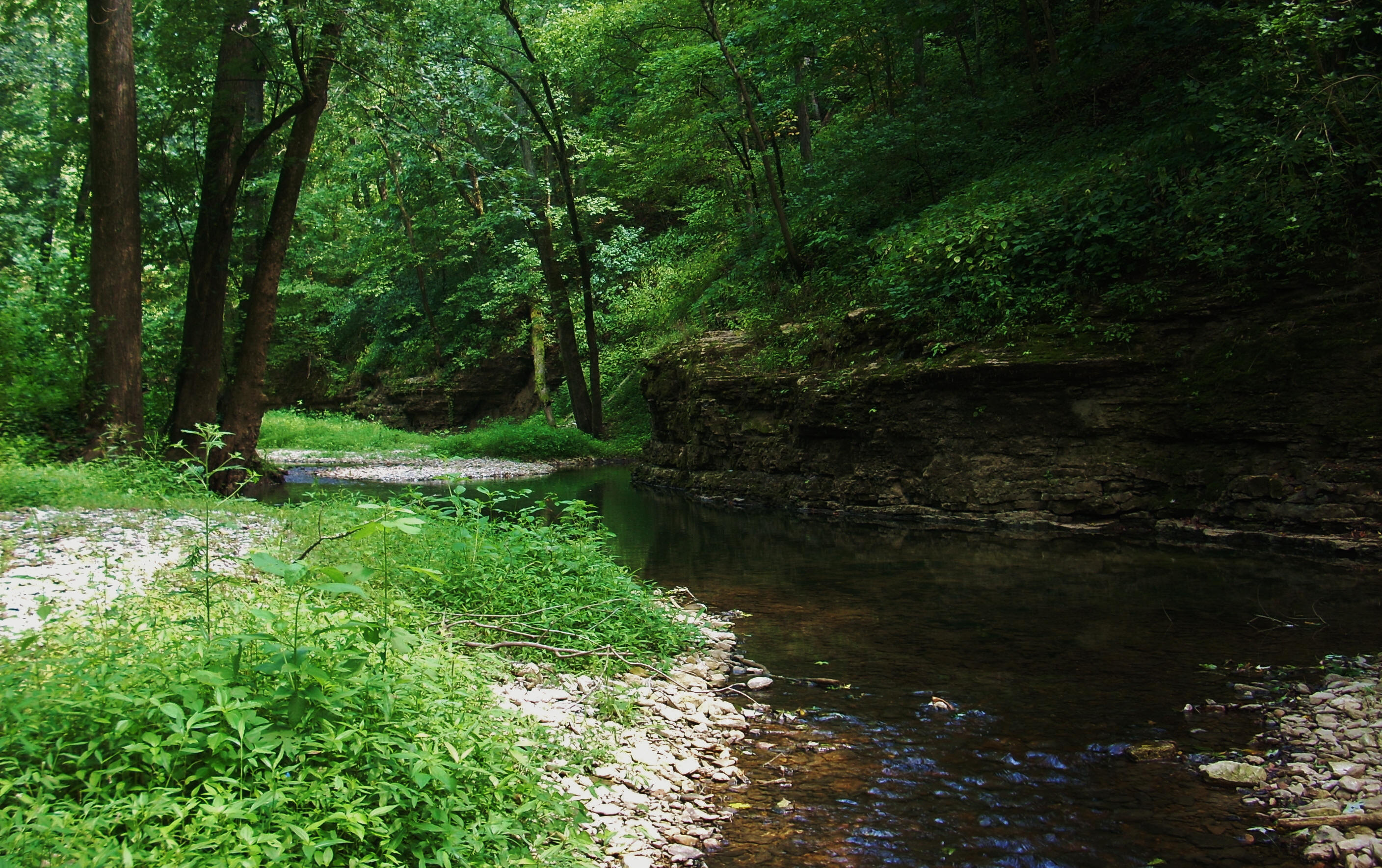
This creek is somewhat interesting to navigate.
You have to really weave back in because it gets quite shallow. I was
quite keen on seeing if I could reach that old mill the gentleman back
near Ford was talking about, but I ran out of creek about 200 yards in.
There’s quite a parking lot back here for Halls too. It isn’t your normal,
run of the mill, parking lot. It’s circular with concrete reinforcement
all around its base and it even has some really nice antique-style light posts.
Everything out here at Hall’s seems to be first rate. Anyway, I stopped,
got out of the kayak, and walked back into the creek for a little bit but never
did find the mill. I’ll go back and do a more thorough search sometime.
UPDATE:
Wes near Boonesboro provided me with some more information on the creek:
I
am very familiar with Lower Howard's Creek (you called it Little Howard's Creek)
and the old mill ruins you mentioned in the description of that section. Lower
Howard's Creek, from the mouth to several miles upstream, goes through the Lower
Howard's Creek Nature and Heritage Preserve. There are hikes scheduled there
regularly with a guide, the preserve is gated and not open to the public without
a guide because of endangered plant species and the fragile historic ruins. The
mill ruins are a couple of miles upstream from the mouth so you aren't even
close when you are at Hall's Restaurant. The guided hikes are great and you hear
all about the history of the mill and the early settlers that lived in the creek
valley beginning in the late 1700s. You can access the hike schedule
here.
Thank you Wes!
Upon emerging from the creek you'll find another incredibly intriguing old boat hulk
just downstream. It’s all rusted out, but it looks like it was quite
something when it was running. It’s pretty large and it’s got a smiley
face and Kilroy painted on it. When I first got the
Kentucky River
book I mentioned and saw the picture of this I was thrilled that I’d be
able to learn something about it. This boat was apparently a tow boat and
it had a few different names: originally the Helen H. when built in 1929,
then the Emma II and finally the Brooklyn. There
were plans to refurbish it but they never fully materialized I guess. All
this fascinates me!
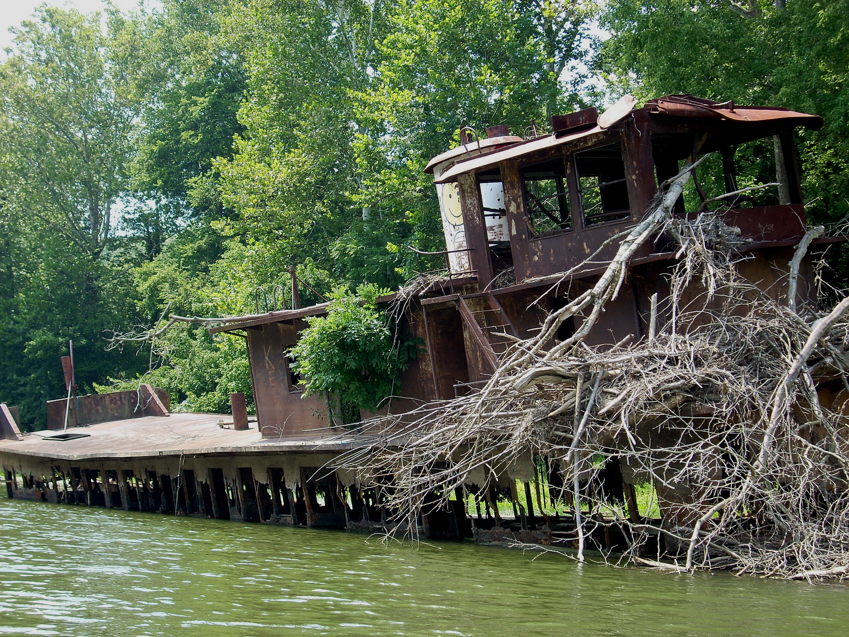
UPDATE 2013: David in
Carrollton was able to provide more information on this vessel too:
"...the other submerged boat near
Boonesborough (that is located near the Hall's on the River restaurant) used to
be located slightly upriver closer to Boonsborough, pretty much under the State
Route 627 bridge. It was also submerged there as well. Someone got it floating
and moved it to its current location near Hall's, where after a few years it
sunk again. It's been there now for many years."
Thanks again David!
By now you’re on your way down
the slide shape in the river – WHOO-HOO! It’s a long one at almost 4
miles and it's very nearly straight the entire way with houses on the right all the way
down to Dewitt Creek at mile 173.5. It
gets quite loud in this area sometimes as there’s a shooting range on the left
side. Every time I paddle this section I’m tempted to yell: “Don’t
shoot! I come in peace!” Dewitt (also known as Jouett Creek) comes
in after some rock cliffs on the right. This was the creek that had a
spring as per the gentleman back in Ford, but navigation wasn't feasible today
given a deadfall at the mouth. I couldn't get in. Anyone got a chainsaw?
:) Directly
across from this creek on the left is Dry Run. Guess what - dry over a shoal!
At a slight bend right you'll
find a couple more shoals, and it was near these where I spotted an animal down by
the shore getting some water. It was so quiet that I didn’t think it was a dog,
but it was, and there were at least 3 more of the same type - black and white
dogs. I began to see my minnow friends
in here again too. They seem to swim in a crescent shape a lot of the time, but I
haven’t been able to get a decent picture of them yet. They
must number in the billions on this river even though they’re pretty much prey
to all, because I definitely know that they’re helping to sustain the gar
population along with other species of fish.
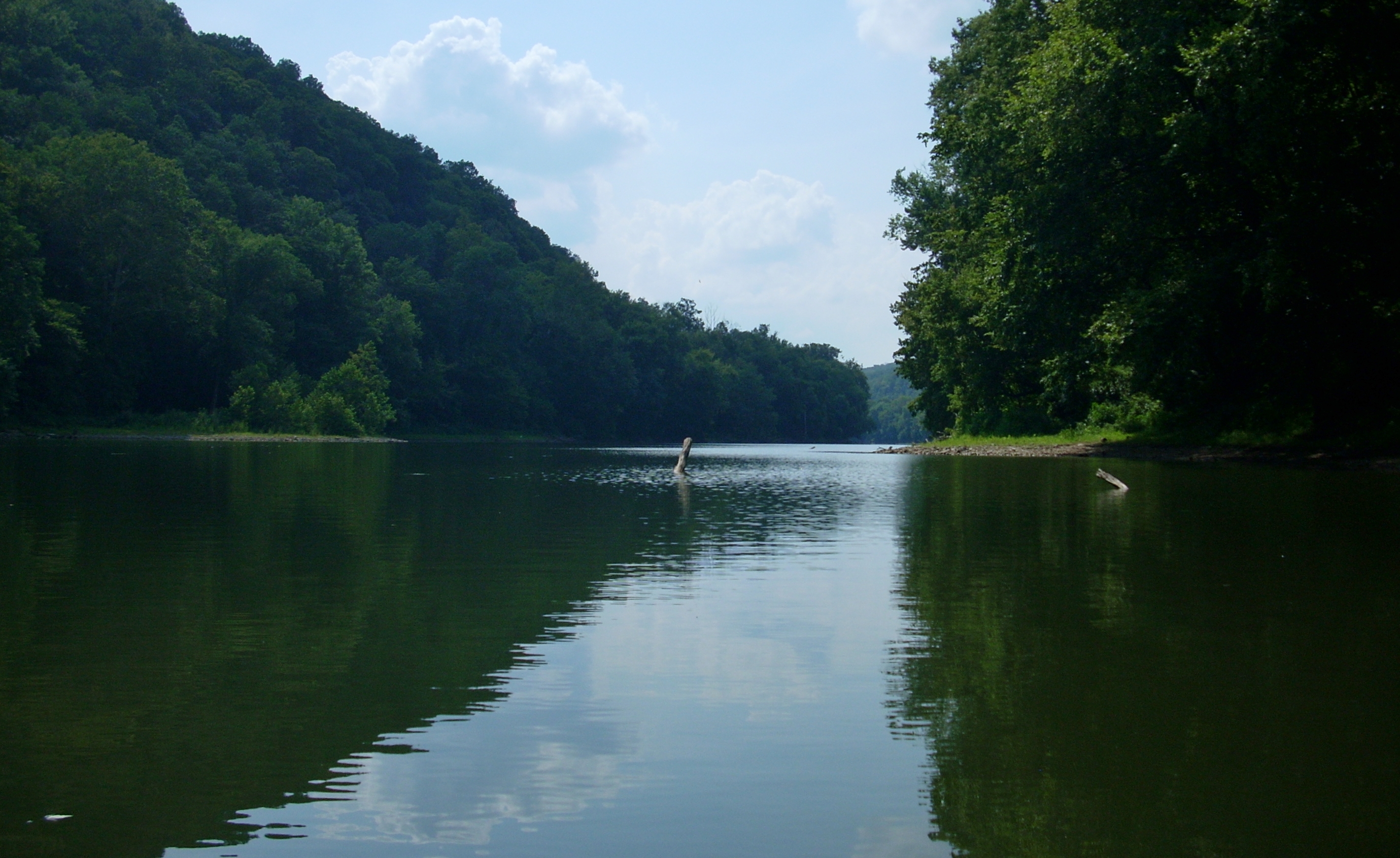
Nearing mile 172 on the left
there are rock cliffs which will grow taller and taller until mile 171, where
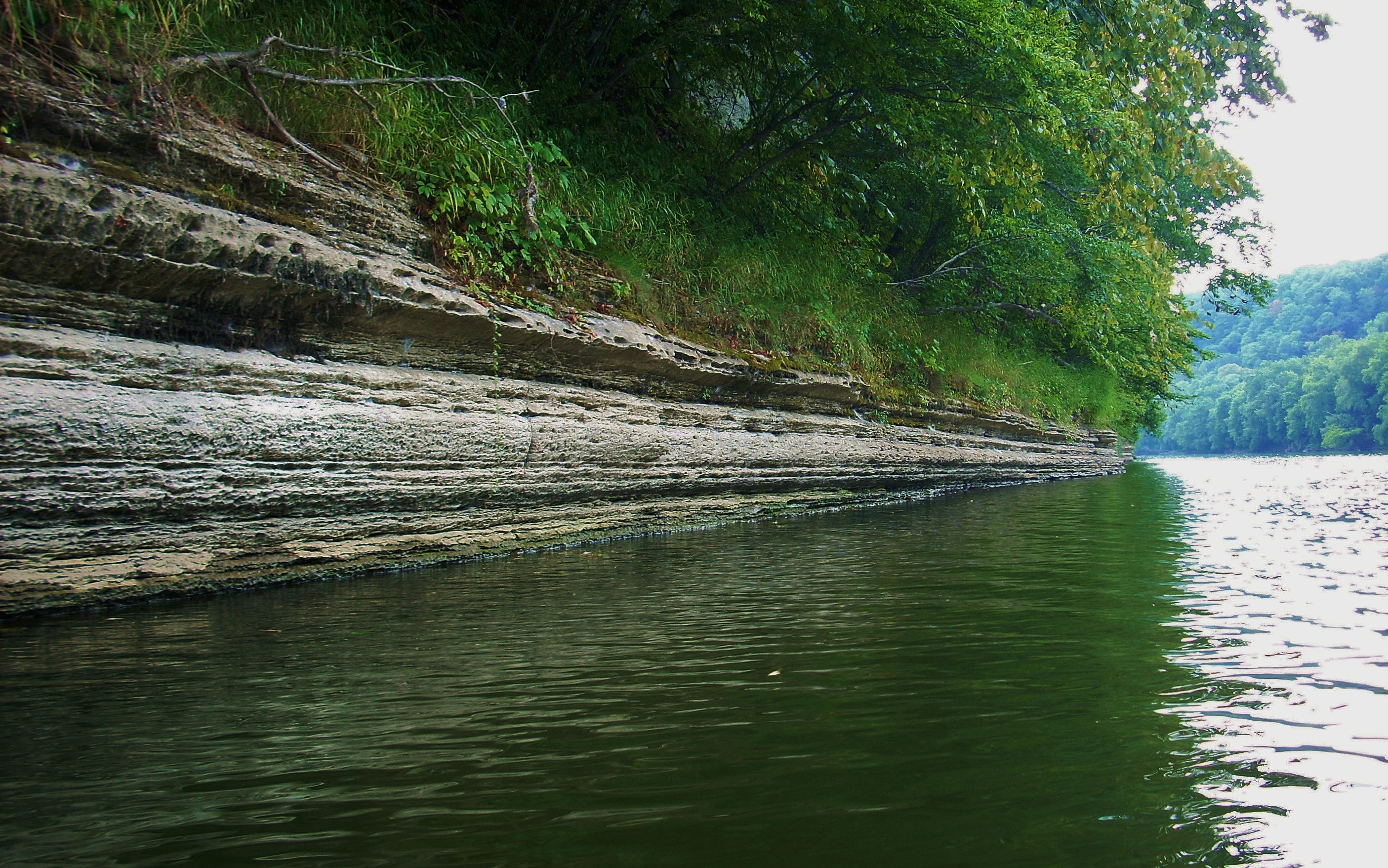
they’ll switch to the right. It’s within this mile that
there’s a winding ledge on the left down at the rivers’ edge which extends anywhere from 4
to 6 feet up. It forms an interesting pattern as you paddle up against it
and look down.
Just after mile 171 the
Calloway Branch (as opposed to the Calloway Creek back at mile 213)
enters on the left and the Boone Creek enters on the right. You can also
see the I75 bridge and the US25 bridge here in the distance. I got into
the Calloway maybe 75 yards or so before being halted just after a bridge.
There’s a sandy beach immediately downriver from the mouth of this creek which,
I’m told, used to be a public beach. [The aforementioned Mr. White
also informed me that this was more of a family beach in contrast to what the
Boonesborough Beach used to be.]
Paddling over to the Boone, I
got in about the same distance I got into the Lower Howard – maybe a couple
hundred yards. I’ve said it before, and I’ll say it again: this
creek is one magnificent stunner! It comes in just after a
rock cliff so you’ll have some sweet looking rock formations on the left and
some forest on the right as you paddle in.
There’s just
something about this creek that
gets to you. I again regret hearing about the man’s friend who died here
though. It’s such a beautiful creek that it’s hard to imagine such a
tragedy could strike here. I took my time on the Boone and really enjoyed
the atmosphere. As you paddle out it looks like one point of the rock face
has a pair of lips!
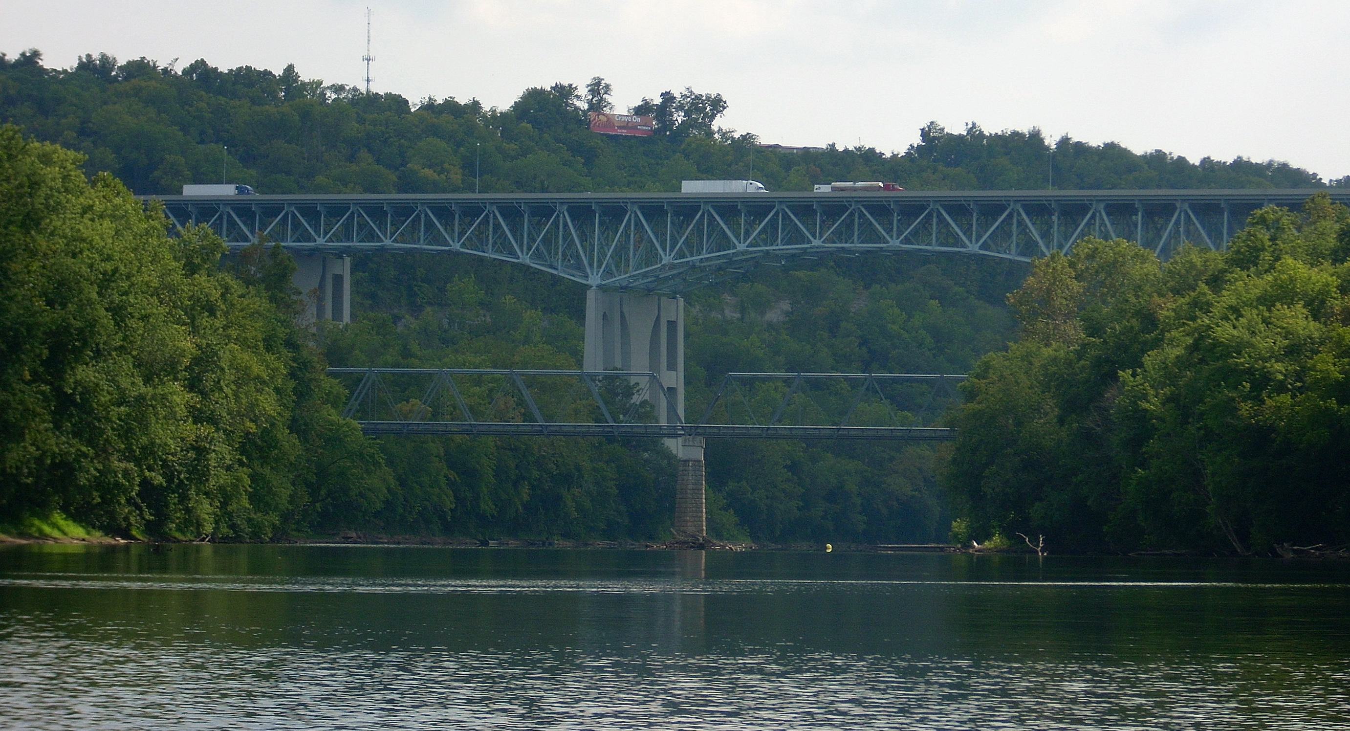
Once you’ve emerged from this
creek, the two aforementioned bridges will be front and center, and it almost
looks like the two comprise one double deck bridge from a certain perspective. The I75 Bridge,
as you’d expect, is a towering giant over the river. It pretty much dwarfs
the other as well as just about everything else, and immediately prior to
it, that there’s a really nice looking bar and restaurant called the
Riptide (I see this is now Proud Mary BBQ which can be found on Facebook). They’ve got a beach volleyball setup, a dock which would support
at least a dozen boats and a very large deck with an outdoor bar just above the
river’s edge. The place looks like sheer fun, and I’d seen nothing like it
on the river thus far.
Just down from the I75 Bridge
and also on the right is yet
another large abandoned boat. It’s still afloat by all appearances and it
has an old gasoline pump on the side. Could this have been the old Clay’s
Ferry boat? It would have gone across the river at about this point...
At any rate, I’d have to
explore this further on my next trip and get more pictures then, because it was
time for me to head back. I’ve left a lot of ground to cover for the next
trip though. I’ll have to do about 25 miles roundtrip not including all
the side streams if I want to finish this pool at dam 9 next week. We’ll
see how things go.
DIRECTIONS:
KY627 to KY388 (following the
signs to
Boonesborough
State Park).
You can only go one way here. Go to the second entrance past the
campground/put-put golf entrance. This is the main entrance to the park on
the left and you’ll see the pool here with a slide. As you come in the
entrance you can go one of two ways: you can head toward the pool and to
the left of its building if you want to put in at the dam below the museum or
you can go all the way back in to reach the boat ramp. You can take your
pick.