
PLACES TO GO ON LAND HOME PLACES TO GO ON WATER
Wood Creek Lake
Northern Half of Lake from Boat Ramp off
Moriah Road
This is an interesting lake. I’d passed it many
times on Interstate 75 just north of
Well, I can tell you that it’s quite
worthwhile to check out, and that it’s most certainly large enough to be worth
the trip! I paddled 8 hours non-stop, covering all the coves north of the
boat ramp I used and I only made it through about 1/2 of the lake. At my
paddle rate (2 ½ miles per hour in my boat), that’s about 20 miles of shoreline
– plenty big! The fishing is supposed to be outstanding out here too.
Traveling as per the
directions below, I got to the boat ramp north of
Now it could just be me, but when I paddle on lakes
all the coves and contours can sometimes seem to mesh together (especially when
I’m tired at the end of a trip!), so to avoid confusion I pay really close
attention to the shorelines. Today I didn’t have a lake map either
(although I did have a general idea of its size and shape), so I decided that
I’d stick to the shoreline on my left and not stray from that. That way I
wouldn’t get lost – or so I thought – and arrive directly across from the ramp
at the end of the day. It actually worked!
This lake is actually
pretty narrow when you first set out from this ramp, so in that regard it
reminded me a little of
After first paddling a tight backward “S” shape, I
was looking down a straight section of water. There was a rocky ramp on my
left when I straightened, and then another further down on my right where
several boats were docked. I’m not sure if these access points are public
or not, but from the map I’m looking at now, the one on the right looks like it
was at the end of
The lake itself curves right from here, but I
explored the cove that was straight ahead of me first. This turned out to
be one of four fairly sizeable ones today, and it was near the back of this that
I met with 4 other kayakers! Each had a different colored boat that they
were fishing from, and it made for an interesting sight because it’s fairly rare
to see one kayak on the water, much less 4! Seems they were vacationing
out here from
Anyway, when I emerged from this cove I took a left
to rejoin the lake, and in doing so I was traveling north and slightly west on a
little straight stretch which topped out in a “dome” shape. There was also
another very small cove to the left here, and I met my only heron of the day at
the tip of the dome. I was somewhat surprised by this. I usually see
many more.
If you’re staring at this “dome”, by the way, the
portion of land to your right takes the form of a triangle which looks to be
very, very close to an island on the map – the dome cuts into and almost right
through the landmass. I was to paddle around this triangle next by making
a very sharp right turn, then a left, and then another left in rapid succession,
and in doing this I began to notice quite a bit of brown algae under the water
near the shoreline.
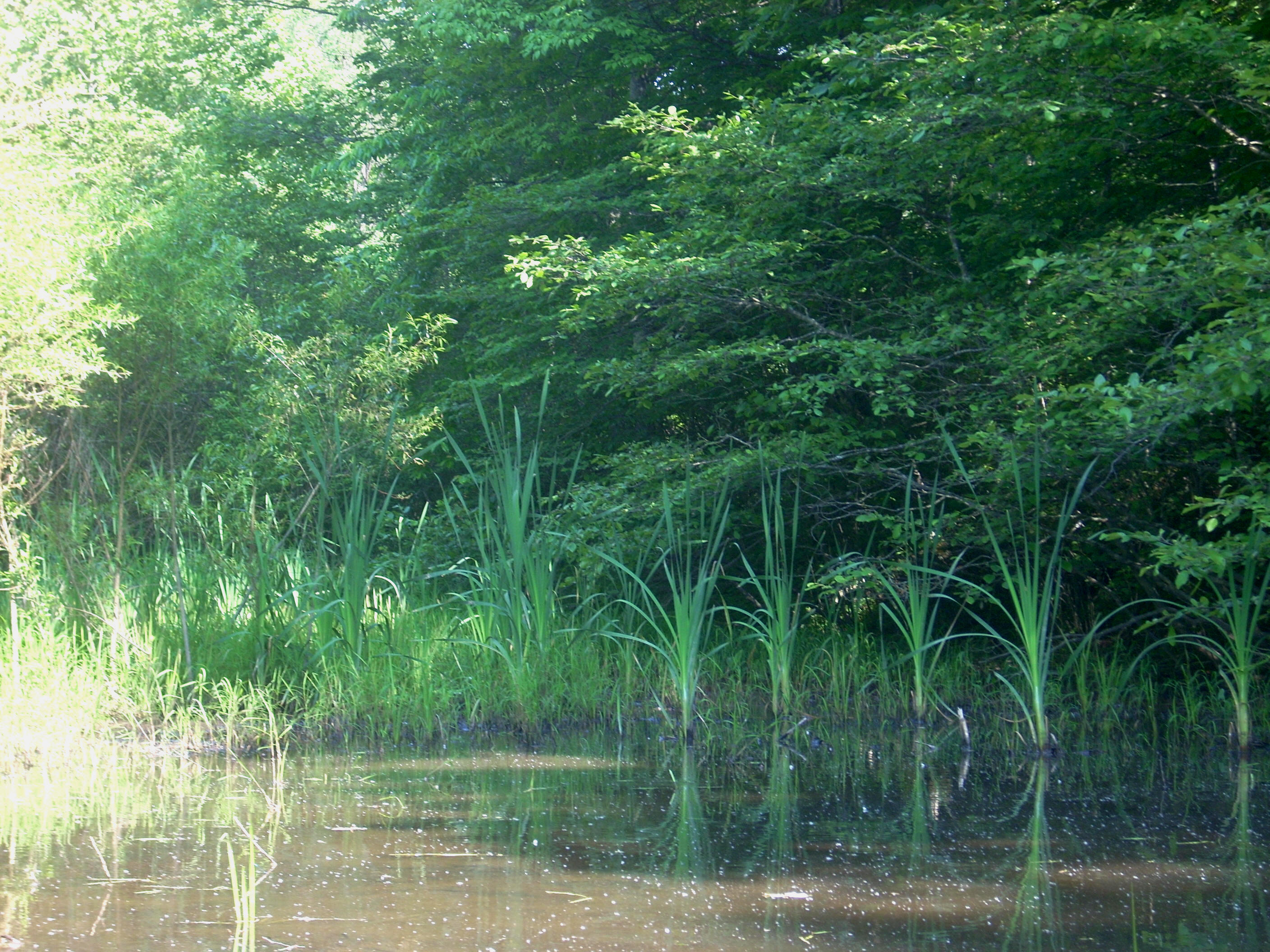
In fact, this lake generally seemed to have more and
different kinds of plant life under the surface of the water than any I’d seen
yet. Some varieties looked like evergreen bushes under the water, and
there would also be a lot of lily pads once I got to the other side. One
of the kayakers had mentioned that this lake was supposed to be one of the
cleanest in the nation, and maybe that’s why. Also of note in paddling
this triangle was the water treatment plant on my right (at least I think it was
one – it appears to be at the end of
What I next noticed on my right was a really interesting spot where a very thin rock peninsula jutted out. Maybe a little more than the width of a car, this looked like a very inviting place to stop and relax, so I just had to take a quick break from my paddle-the-left-shoreline rule. I’d be careful if you decide to get out of your boat here, though - the drop-off seems pretty steep. (This was where my buddies caught up with me, by the way.)
There’s another tiny cove across the water from this
little peninsula, and if you look at the lake from the mouth of this
(northeast), it will next take the form of an “M” which you’ll be paddling from
right to left. As I emerged from the cove that comprises the middle of
this letter, I spotted a paved ramp on the opposite side of the lake (In fact,
when I paddled over there on the way back I saw that there were actually 2 spots
to put in. It looks like these are off of
Complete this “M” and you’ll form another one which
will comprise the remainder of the north end of the lake. You’ll also
paddle this one from right to left, with the only “flaw” in it being another
fairly large cove branching off to the right of the first rise. It was in
looking north at this “M”, that I met with a totally unexpected sight - a “mesarizona”!!!
Yep, a real mesa in

Anyway, in the middle of this “M” was, yes, another cove! This was one of the larger ones, and it branched off at the end. Taking the left fork, I found myself in what was probably one of my favorite sections of the lake today, and there was even a nice little wooden fishing dock at the back of this too.

This particular area also helped to solidify another notion which had been brewing for me - what nice places they have out here! Almost every dwelling I saw seemed to have a really classic, classy feel and most of them were either cabins or cabin-like. Here’s an example. Hope the owner doesn’t mind me posting the picture…

Rounding the corner as you come out of the middle of
the “M”, you’ll see the I75 dam across from you, and you’ll make a sharp left to
enter the final northern section of the lake. My friends had to be heading
back at about this point, so they could only explore one more cove with me (the
one on your right after you make the curve), and I’ll tell ya… I’m glad
they were still with me here, because one of them caught something that I would
probably have missed. To your left at the back of this cove is what looked
like a log cabin. At first we thought that it might be an old, abandoned
one but in looking at the pictures, it could also just be that it’s new and
unfinished and that this location was selected for its remoteness. Hard to
tell, but there was also an odd bit of metal protruding into the lake here which
looked similar to a section of old railroad track.
Upon the departure of my comrades, I headed back to
the left side of the lake and passed up the next little cove I saw (because
there was a power boat fishing at the mouth) to first explore the lakes’ end.
In doing so I noticed that it also forks off at the back in here with what looks
like a couple dirt roads coming down to the shoreline at different points.
The one descending on the left looked especially steep.
Coming back to explore the cove I’d just passed, I found that it might be the most interesting one out here. That’s because in addition to the rock formation below (among others), there was also what looked like a little park back here, complete with benches in the midst of what was a very, very pleasant location. I’m not really sure if this is public, but I tend to doubt it, even though I didn’t specifically see any “No Trespassing” signs. Just the feeling I got… There were, however, a couple other people back here enjoying it. Not wanting to disturb their tranquility, I didn’t stick around as long as I normally might have.

Time to head back... After very carefully exploring the area around the dam, I went on to check out the last of the larger coves. As mentioned, this side of the lake was where I saw all the lily pads. I think I passed about 4 groupings of these, and whenever I saw them I couldn’t stop taking pictures. It was amazing to me how their stems kind of wound up from the bottom of the lake, to then branch out and form the pad, which itself took the shape of “Pac-man” from the old game! There were red, green and yellow Pac-Man’s! Sights like this make me just want to throw up my hands and laugh at their sheer awesomeness!

The cove was very nice and quiet while I was back there, and at the very end I noticed what looked like little palm plants! This would have been a very nice, contemplative section of the lake but for what sounded like a dozen dogs going crazy nearby!

Coming out of this cove I was surprised. There
was apparently a very shallow area at the tip of one peninsula, because as I
slowly edged around the side of it with each paddle, the view of a couple with
their dog lying in the water slowly emerged. They were very quiet – even
the dog – so much so that the very sight of them kind of startled me a bit!
The remainder of my trip was really peaceful as I
spent it in quiet contemplation of my experience. I look forward to
exploring the rest of this nice lake!
Directions:
The
Follow Hawk Creek for one mile, and then take a right
onto