PLACES TO GO ON LAND HOME PLACES TO GO ON WATER
When I’d last paddled here in 2007 the water level had clearly been below par. I wasn’t exactly sure why, but I knew it from a picture in one of my hiking books (Michael Brown’s Hiking Kentucky Falcon Guide). Well, today it was clear that they were still doing something because the water level looked about the same (verified – per http://lakecumberland.com/stats.php the water level is about 40 feet below the normal while they work on Wolf Creek Dam). Nevertheless, this is a really unique opportunity to see the river in this state before they raise the water level again.
In ’07 I’d
paddled this section along with another, but today I stuck with only the
Rockcastle. I was determined to see how far I could get while
still keeping the portages fairly easy. If you choose to do
it this way too, you’re likely to sleep quite well (as I sure did) but it won’t
be without its rewards. While I eventually got out of the
boat 3 times and paddled through several other instances of moving water, I
found this section to be especially private - I didn’t see one other boater, and
I only encountered 4 people in total, all at one spot on the way back.
This portion is
about 7 miles long according to the Kentucky Kayak Guide (http://www.menasharidge.com/search.php?mode=search&page=1),
but you can also choose to float around in about 3 – 4 miles of calm water on
the Rockcastle before reaching the flowing portion. There’s
always the
At any rate,
the ramp I put in from today was at the end of KY3497 east of
Something else
interesting - there used to be a resort here back in the 1800’s, possibly at the
point where there was a marina/store operating the last time I was here.
This store is supposed to be where you register for the campground, but
today there was absolutely no activity here that I could see.
Not sure what happened (if anything) but it may be best to call the London
Ranger District of the
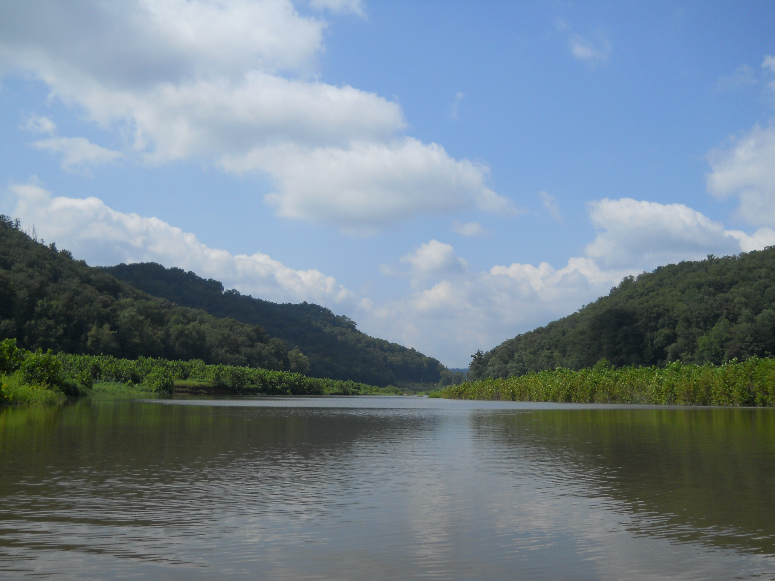
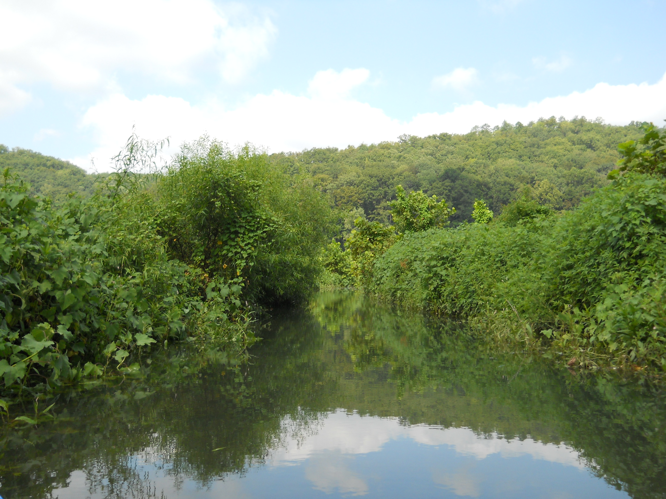
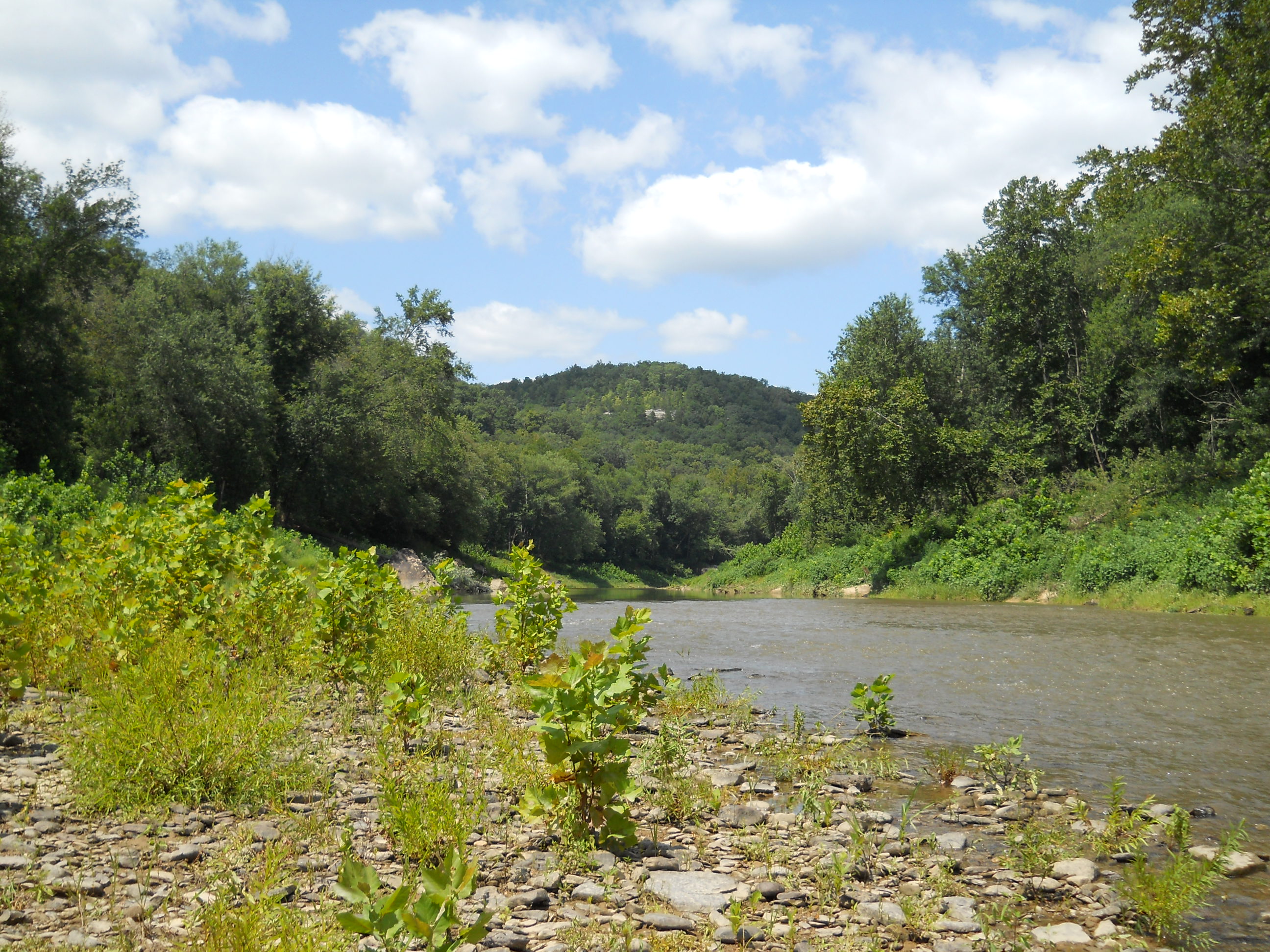
As I put in and started paddling upriver, I found myself on a long left curve. It’ll be most apparent when you look at a satellite map, but you’ll also be able to tell from down on the water where the coves had once been – you can clearly see the outlines. All just look like little incoming streams now. I made it into only a couple of these, due more to the dense vegetation than anything else, getting about 100 yards into the first on the right. I felt a little wistful, though, when I realized that the new forest growth would soon be swamped under again.
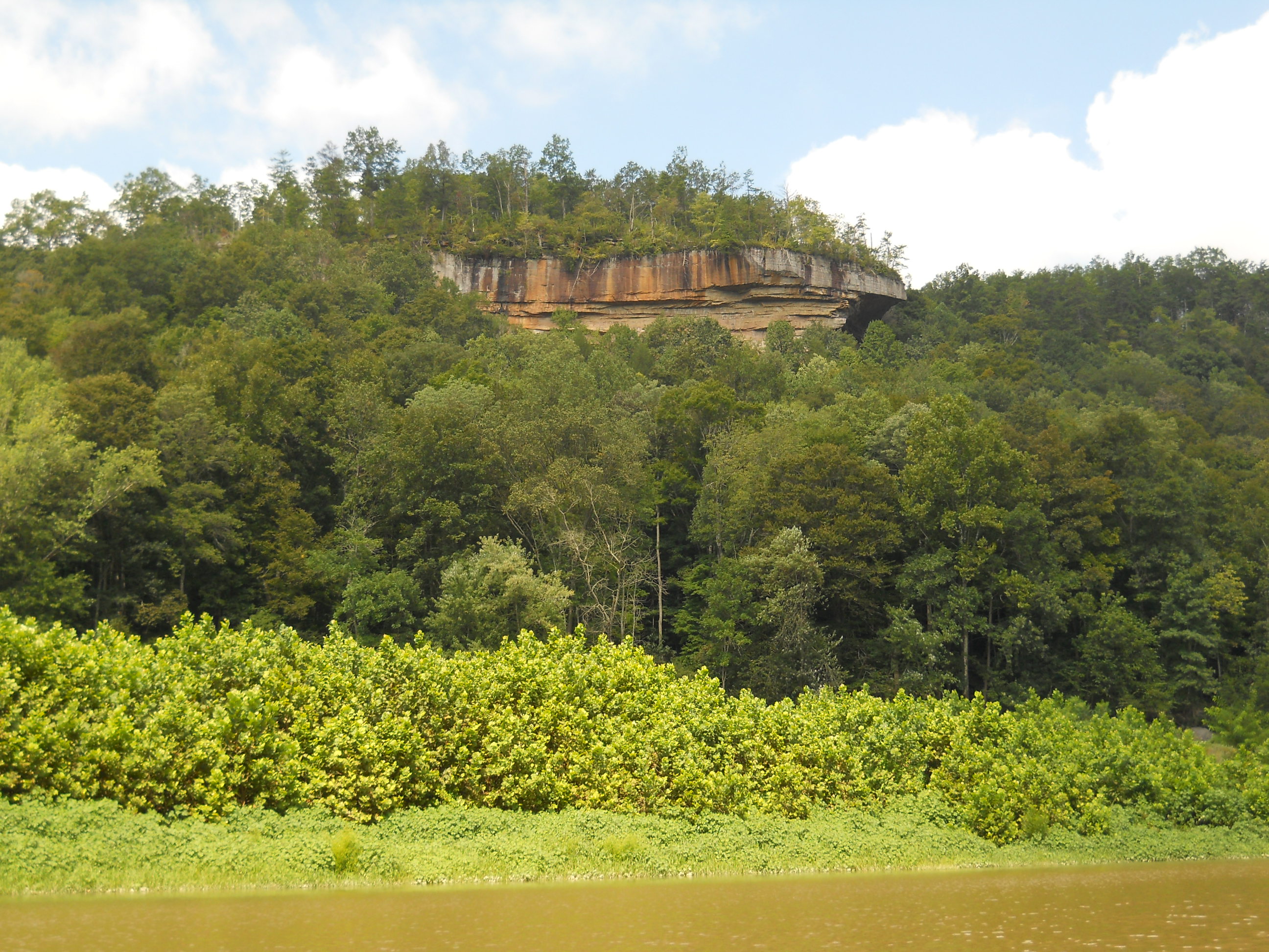
This first (maybe 1/3) portion is basically a long “C” which ends at Bear Creek (incoming from the left), and throughout this area you’ll see nice looking rock outcrops atop the mountains. I know that one of them on the right has a few lookout points that you can check out on that Rockcastle/Cumberland hike I mentioned, but today I couldn’t tell which one it was.
As I reached
Bear Creek on the last portion of the curve, I thought I’d be able to get in
pretty far since this was supposed to be the largest incoming stream in here,
but I was to be disappointed - I made it much further back into some others.
On my return paddle, however, this was where I saw the people fishing,
and one of them was playing what I think was one of those Native American Indian
flutes – either that, or they were playing a recording.
Either way, it sounded absolutely amazing over the water, and I felt like
I might have stepped back in time a couple hundred years!
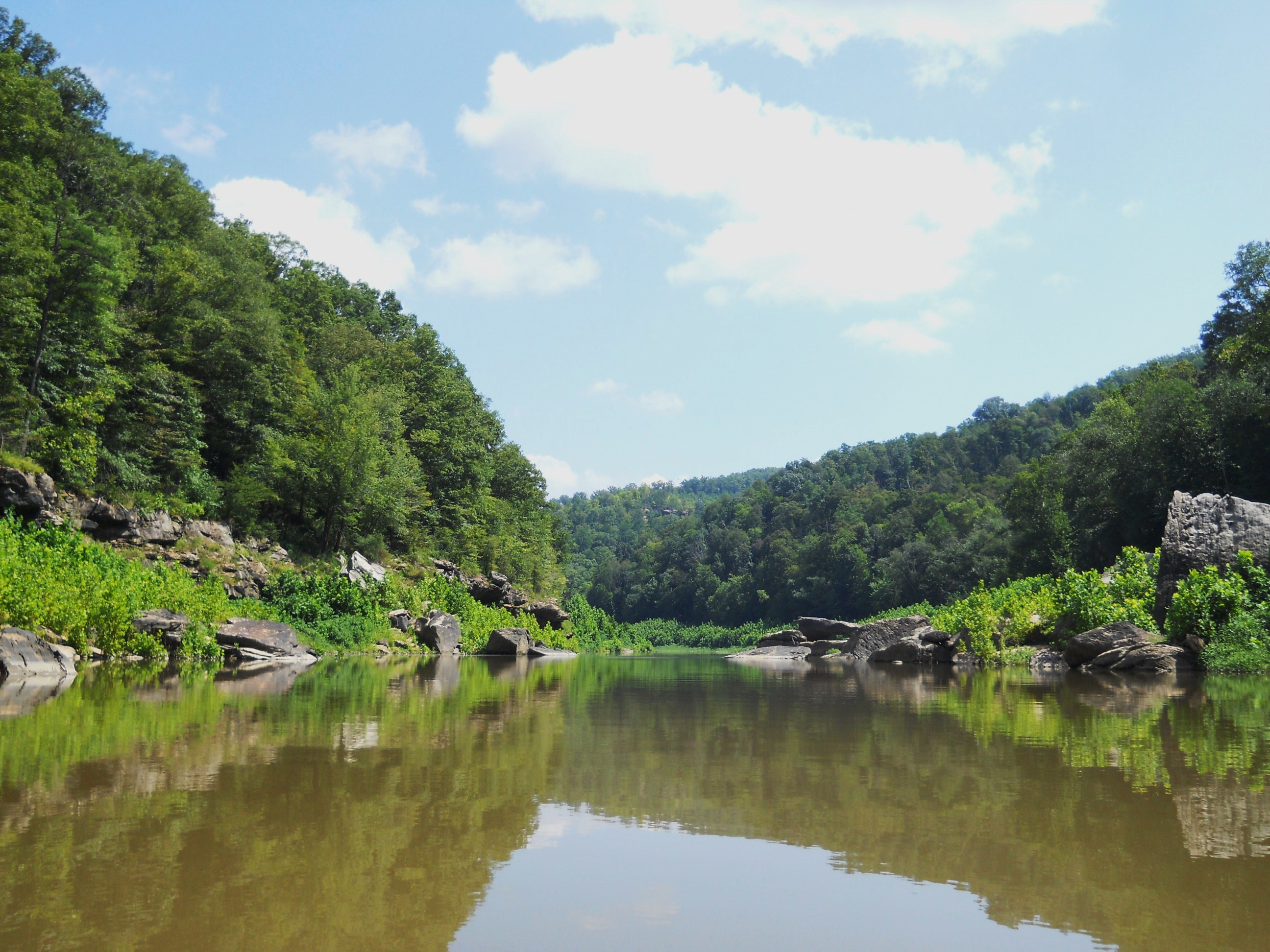
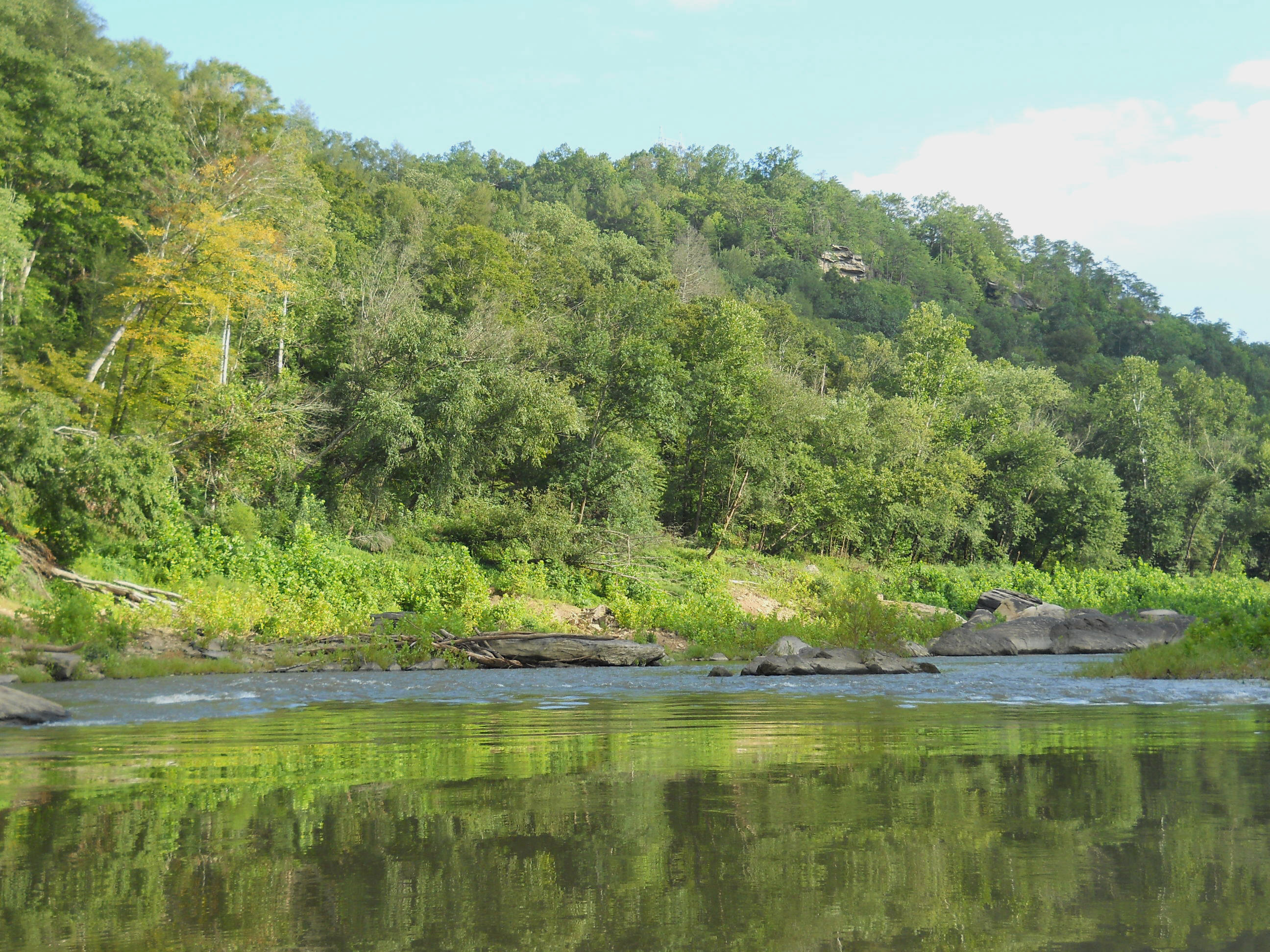
The next
section is hard to categorize as far as shape but its one predominantly composed
of gentle curves, and as you meander back and forth on it you’ll begin to
encounter more and more large boulders in the water. These
will constrict the streams’ flow and begin to make paddling a little more
difficult.
Interesting,
too, is that these boulders can “trick” you into thinking that your way will be
blocked - you’ll look down an alley and they’ll be so close together at the end
that you’d swear there was no way to get through, only to find that it was an
illusion. In this regard, the section reminded me a lot of
the Big South Fork of the
Anyway, you’ll make a gentle curve left, another right, and then on that next left arc you may begin to encounter some significant flow as I did. This was the first area where I had to get out and walk the boat around a couple times. What I’ll usually try to do when paddling up moving water is to paddle the inside of a curve so that I can at least cut some of the portage distance in a worse case scenario, but sometimes you won’t be able to.
You’ll find, however, that if you keep you boat pointed upriver and you have the energy to keep paddling, that your boat will find it’s own way – if it can – up and through the water. It’ll be funny, too, because this is a real exercise in tenacity! You’ll quickly find yourself running out of energy as you continue to hammer out the paddling, winding up on one side of the river and then the other as your boat finds one shoreline easier to negotiate than the other. The problem areas will generally be the ones where the water is just too shallow over the rocks – the riffle areas.
The last
portion of the river I paddled today was a long right curve on which I had one
more portage. You may begin to hear some vehicles in here.
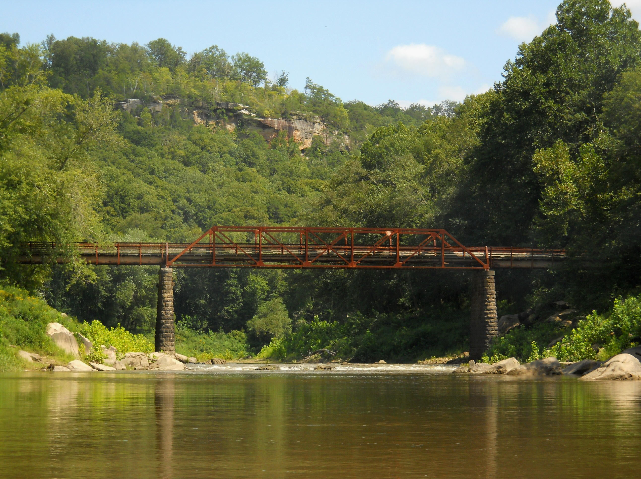
At first I
thought it was a little dam that the water was running over here, but I guess it
was just a spot where the rocks had piled up. Whatever the
case, I certainly wasn’t going to be able to paddle through it, and the portage
wasn’t going to be easy either, what with all the foliage growing over the rocks
piled up beside the bridge buttresses. I simply decided to
stay for a while and then head back.
I knew that the
Bee Rock Campground (http://www.fs.fed.us/r8/boone/districts/london/08beecamp.pdf)
was close - I could smell the campfires. I actually saw
someone, too, down at the waters’ edge in the distance on the right side at what
looked like a shoal. No action on this second bridge though,
and I think I saw a barrier up
there of the kind that prevent all but people from entering.
This may; in fact, be a foot bridge for people at the Bee Rock Campground which
I know has property on both sides of the river. Something to
find out sometime…
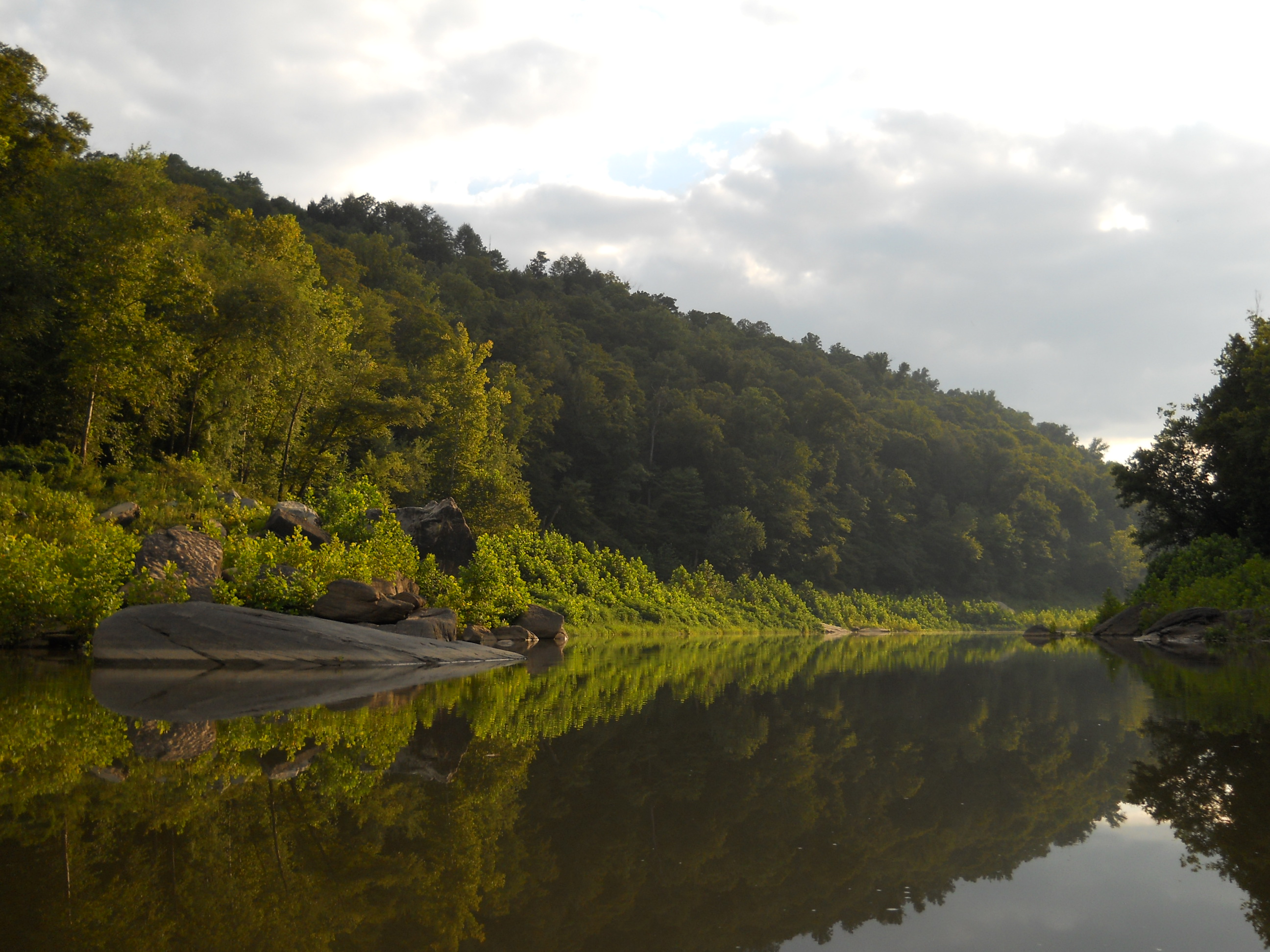
On the way back I was able to get some of my best pictures, including the deer below…
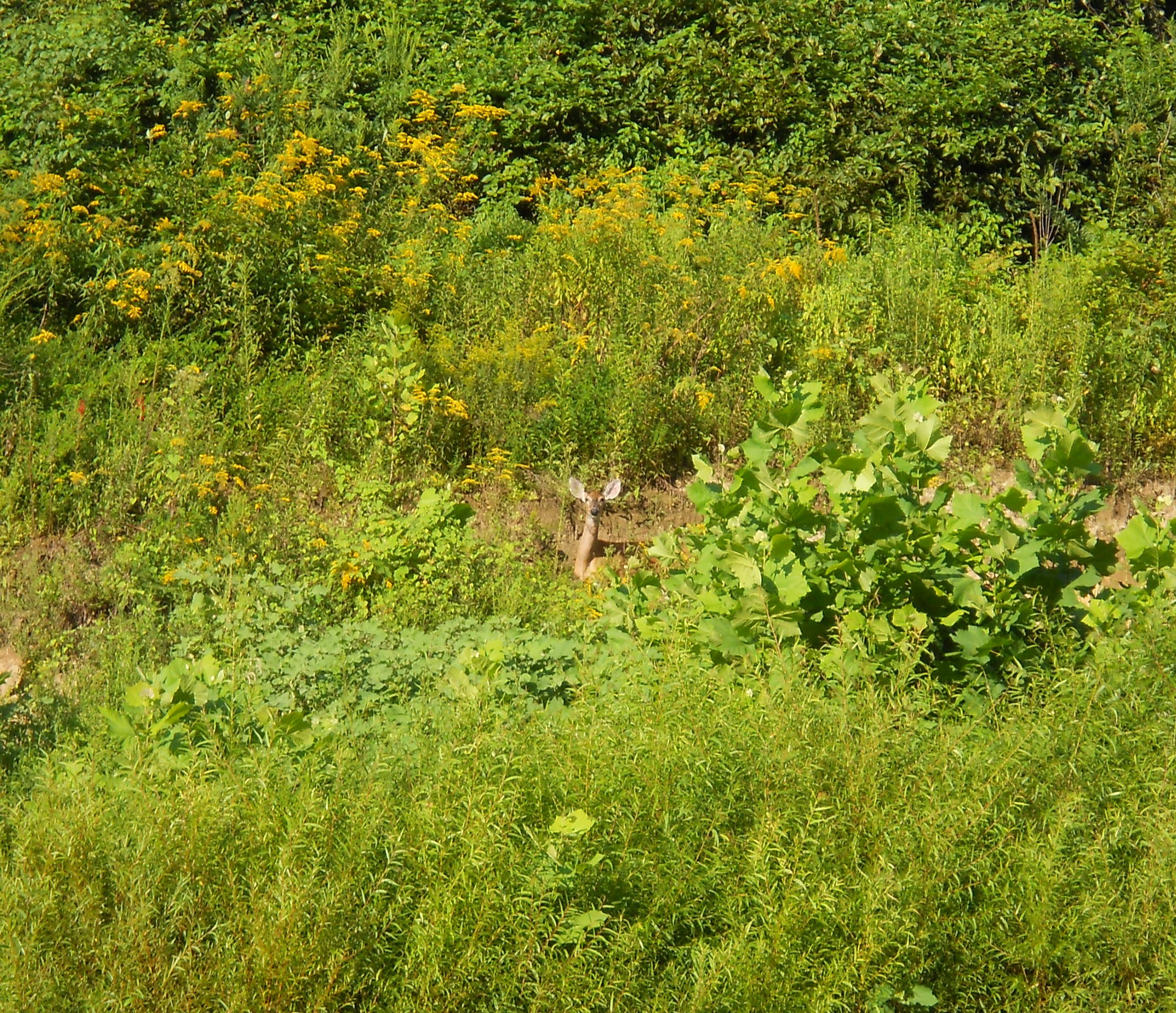
…and I love scenes where the setting sun highlights the shorelines. A fitting end to a great day on the Rockcastle! Come on out!
DIRECTIONS:
Take the KY1192
exit off of I75 and head east, going 14.5 miles to the 192/1193 split.
You’ll then veer left and from here it’s another 7 miles.
I found the signs confusing, so I’d suggest keeping it simple – just keep
going straight and ignore the road signs (yes, do NOT take that left!).
You’ll end in a very large parking lot. The ramp
extends down to your left. You’ll have gone 21.5 total miles
since your exit from I75.