PLACES TO GO ON LAND HOME PLACES TO GO ON WATER
I’d wondered what this side
of the lake would be like after having experienced the other end in my previous
outings. Would it also be nearly trash free with pristine rocky beaches
and beautiful turquoise colored water?
Well, the put-in was sure
easy to find from the Fish and Wildlife Boating Guide, but when I got there I
saw that I’d need to buy a pass (the guide indicates it’s free), so after first
stopping at the Dollar General I was told that I could get one at the Bait Shop.
This store was located on the same side of the road about a half mile up from
the “DG”, and so I got a day pass for $3.
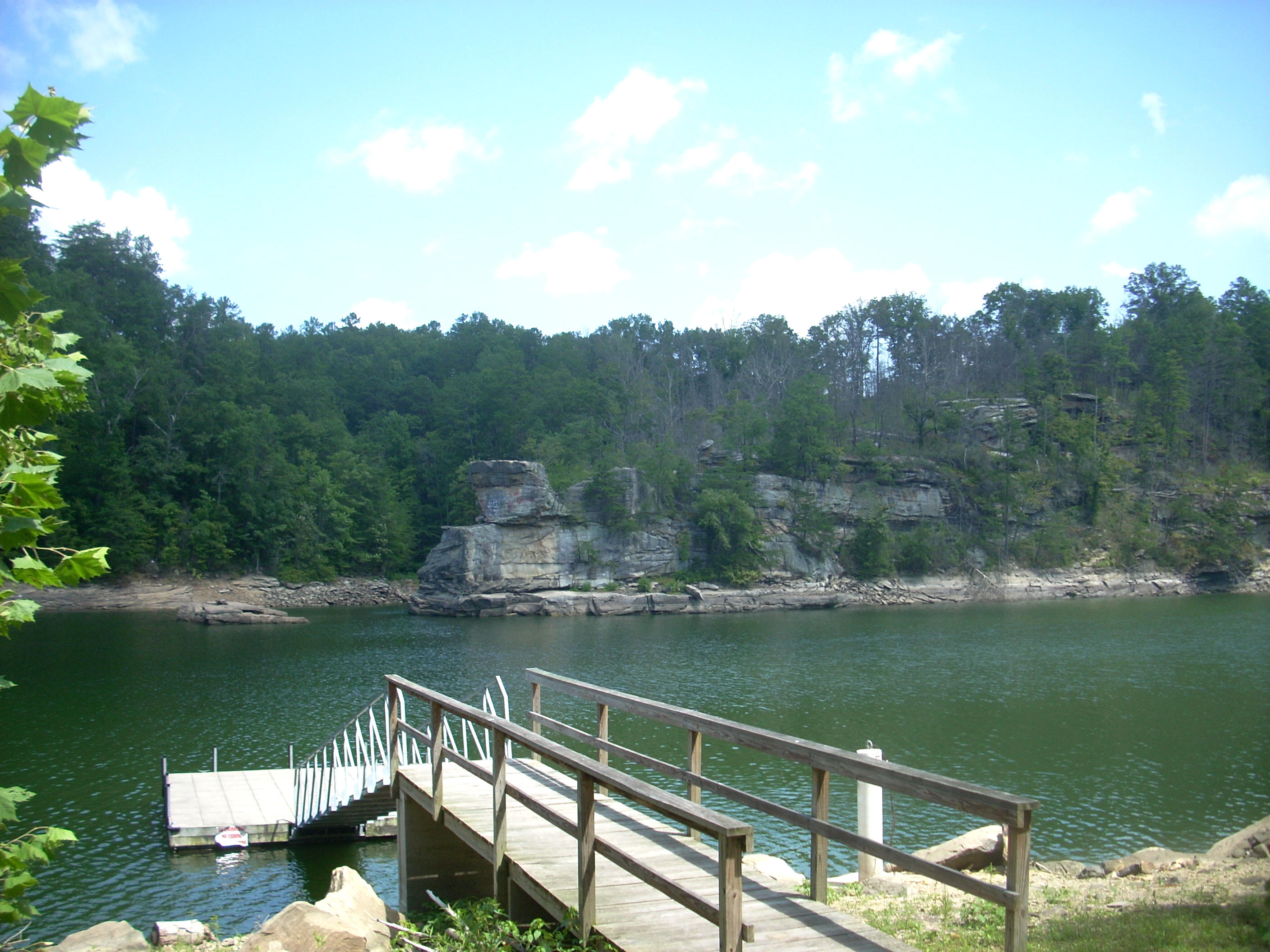
The
ramp I used - the
For today the plan was to paddle upriver as far as I could and then see how much time I had left for further exploration. Things wouldn’t exactly follow that plan, but I would get some pleasant surprises later in the day - such as the discovery of an extremely popular spot directly across from the ramp! More on this in a bit, but next time I’ll be sure to explore the little cove over there first thing before everyone arrives.
Anyway, after getting on the water about
Rounding the final curve in
this question mark I got my first surprise – a dam. It wasn’t on the map!
Seems my upriver exploration was going to end a lot more quickly than I’d
intended... “Oh well, I’ll just paddle up to the dam and take a look…”
Well it turned out that when I got up there I noticed a little incoming stream which had been just out of sight. It came in on the right just as the dam spilled over, and when I rounded the corner into it I met with a nice little low-lying area that was very popular with the shore birds – herons and kingfishers, as well as many others that I can’t yet identify (although I’m working on it!). I got nearly as far as the southbound span of the I75 Bridge back here before the water became unnavigable and I turned back.
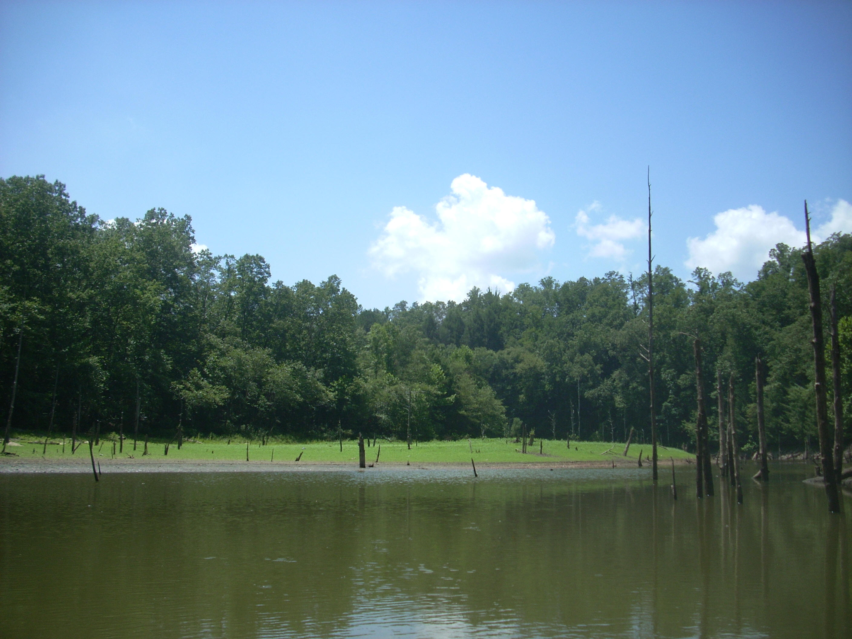
The dam had me thinking, though… If there are 2 of these out here (and I’m assuming that the downriver one that forms Laurel River Lake was put in a long time before this, second one) then that might explain why the shorelines of this lake take on the rocky appearance that they do. The terrain got used to the first dam as the plant life on the shoreline was swamped under, leaving nothing but rock. Then, when the second dam was put in, the lower water level left the rock exposed? I’ll have to do some research to verify this theory…
Remember that spot I
mentioned back at the put-in? Well when I got back to it I found it to be
a real hub of activity. There were about a half dozen power boats “parked”
there, many of the occupants of which were leaping from the rocks that jutted
out at the end of the peninsula. There were 2 tiers of rocks from which
they were jumping – one maybe 1 ½ stories tall, and another maybe between 2 and
3 stories. This is one thing I wish I could have joined them in doing, but
I felt a bit like an outsider. Maybe I can get some buddies together
sometime…
Anyway, in addition to this
there was even more activity: another small group of boats was under the
312 Bridge and (at the end of the day) quite a number of people were swimming at
the bottom of an old ramp which descended from the right side between the cliff
jumping rocks and the bridge. It appeared as if they were parking above
the bridge on the northwest side and then walking down.
Moving “downriver” from this area, I made a 90 degree
left turn and then launched into a very long right arc. There were some
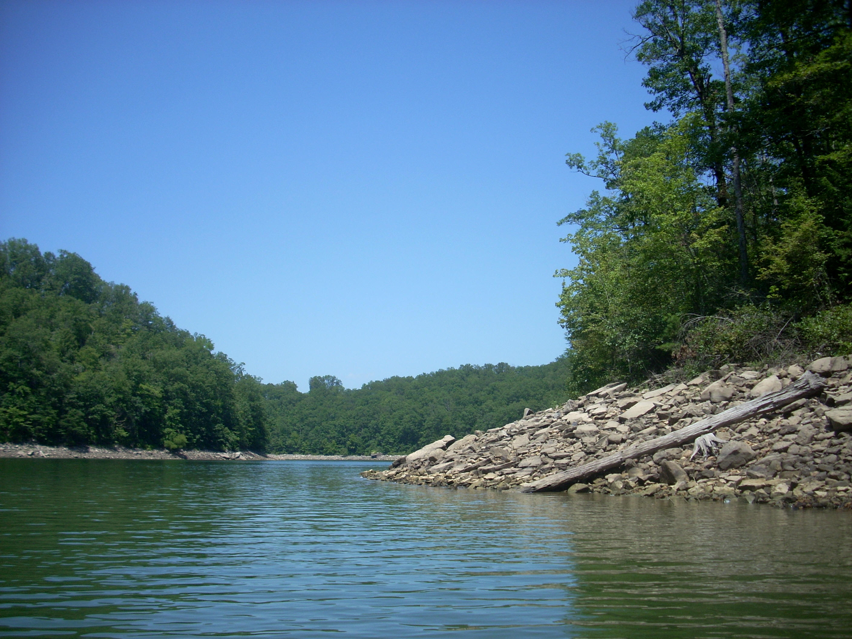
very nice rocky and some sandy beaches on my right side, but on the way back I
noticed that the left shoreline contained quite a bit of trash, especially at
the very left end corner of this arc. More importantly, however, this spot
marked the beginning of a section of river that formed an “R”. I’ll refer
to this letter as part of the
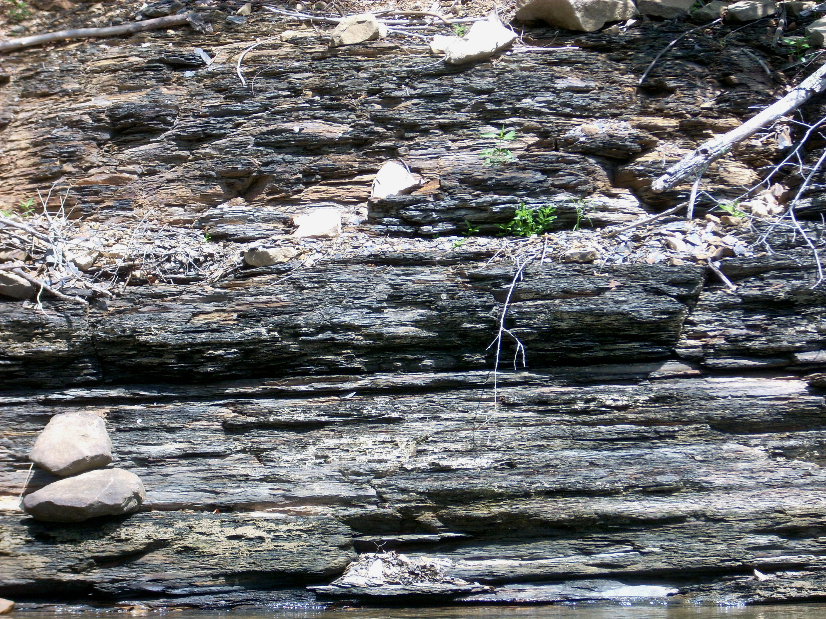
First the “R” (and these are capital letters)… It contained 2 coves, one which entered at the top (unnamed so far as I know) and one that entered at the middle of the back end (Mill Creek). Cove #1 had some incredibly fine shale which I took a picture of, but my camera didn’t have enough pixels to do the scene justice.
A sheer rock wall ushered me to the entrance of the second, where some huge boulders had seemingly been sliced off from it and had fallen into the lake – they were visible just under the surface of the water – and, as I paddled further in, I also passed what would have been a very nice place to stop and rest on a peninsula jutting out from the right side of the entrance. This area could easily be referred to as Twin Monolith Cove. Check out these 2 – the one on the left looks similar to a baleen whale when you paddle right up next to it…

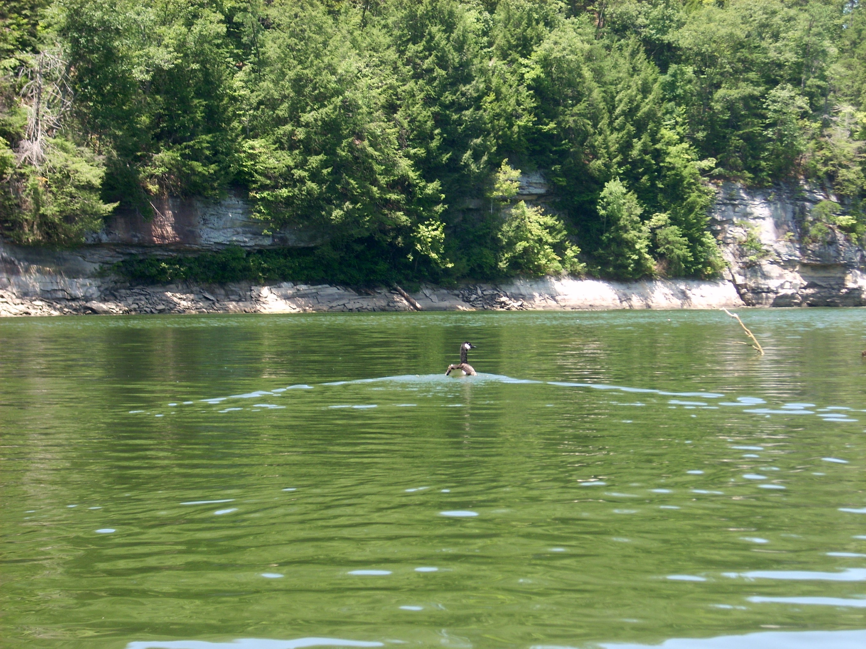
…and in the back I got the picture below of what I think was a grebe bird…

On to the “M”… This area was reminding me more and more of my paddles from the Marsh Branch Ramp further up north. The water was looking better and better and the shorelines were taking on gentler rocky slopes – it made getting out pretty easy. In fact, the shorelines really beckon to you out here, but it was time I started heading back…
When I reached the end of the
“M” where some power lines crossed over the water I crossed too, figuring this
would be the best place to do so. When you’re on a lake – even a narrow
one - you’ve get to be extremely wary of oncoming power boats, and if you
need to cross you’ll want to be in a spot where you can most easily see what’s
coming.
You’ll also want to try and
find a spot where the lake is the narrowest and then paddle to the other side –
FAST – while keeping your whistle at the ready in case you get a power
boat bearing down on you! Power lines are good points for crossings
because in order to save money the power company is most likely to pick the
narrowest point of the lake to make the crossing – less material will be needed.
Anyway, once having crossed I
was at the entrance to another cove which dog-legged to the left. I got
back in maybe a couple hundred yards, but this was the only major cove on this
side of the river/lake that I’d pass on the way back. In fact, this cove
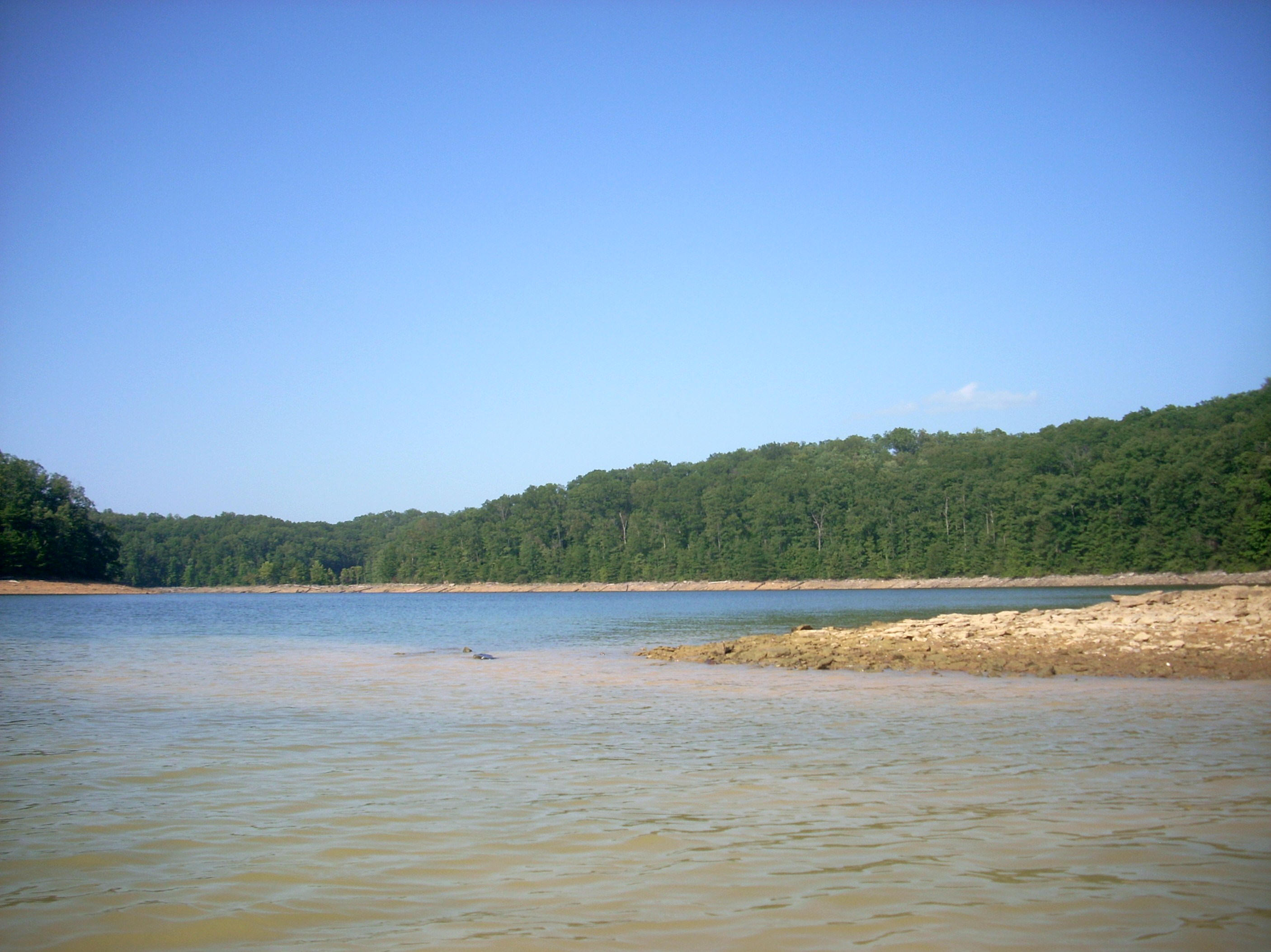
could be considered a transition point from river to lake, although that would
certainly be the subject of some debate. For me, the river looks like a
snake on the map up to this point. Afterward it looks like the Rorschach
ink blot of a lake.
When I did get back to the
ramp it was still a hub of activity with all the swimming and cliff jumping.
This lake really does have something for everyone. I’ve even heard that
you can scuba dive on parts of this lake through underwater caves!
DIRECTIONS:
Take exit 29 off I75.
You’ll want to go west on KY770 although the freeway signs have no indications
for 770 – just 25E. Just remember exit 29 in Corbin and you’ll be fine.
As you head west on KY770, the KY312 intersection will come up very quickly.
You’ll want to take a left (southbound) on this, but if you don’t have a pass
you’ll need to get one at the bait shop on the right side of the road a little
further up on KY770. A day pass cost me $3.
When you get back to KY312, head south and after
crossing the bridge (which comes up almost immediately) take a left. This
is part of the