Wabash River
From New Harmony Ramp
October 2018
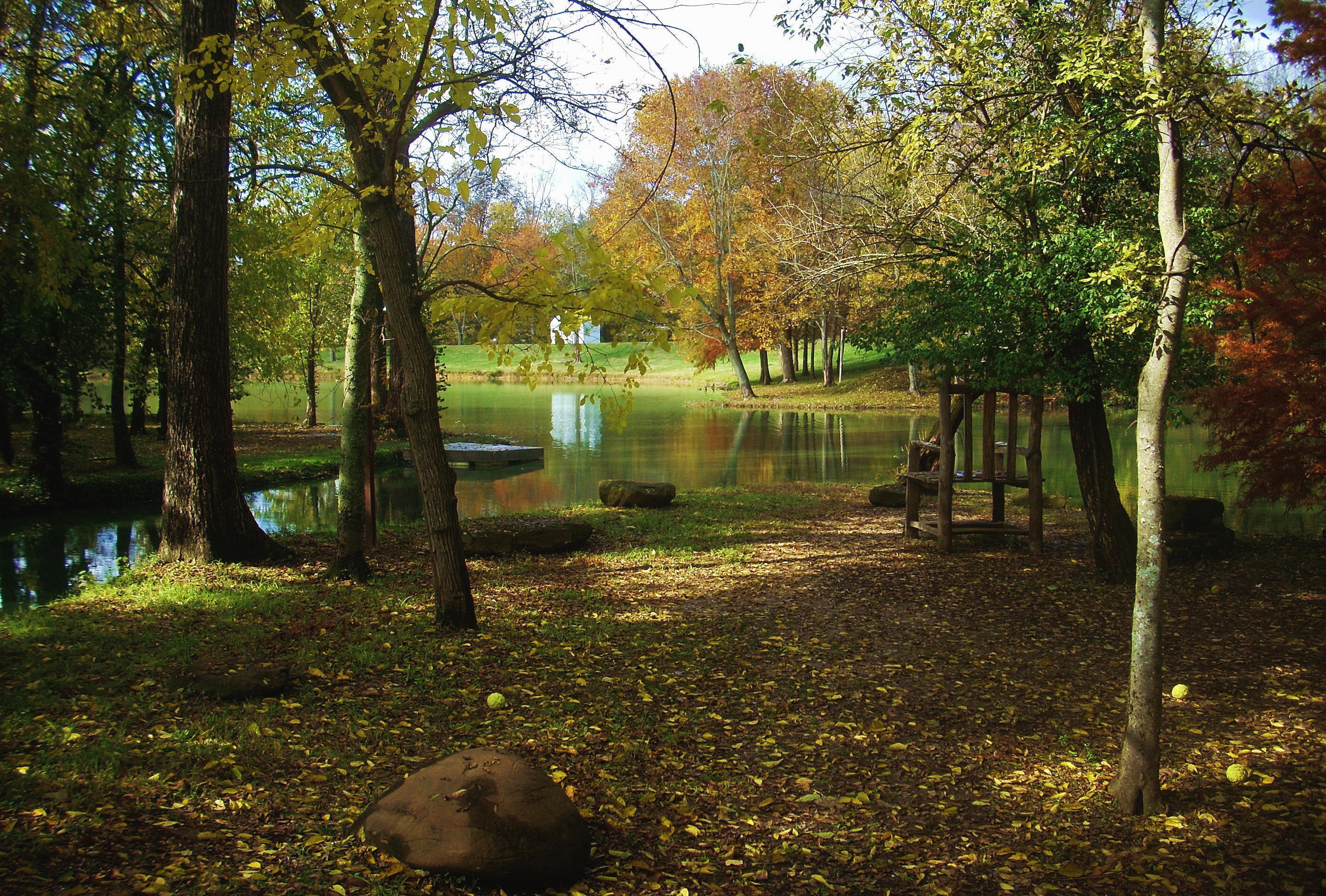
If you love historic little towns and you've never been to New Harmony then you've simply got to come see it! This area of Indiana is so pleasant that there were actually a couple attempts to establish utopian communities here. The town government site (here) has more on it's history, but today you can come and visit different restaurants and variety shops, explore some of the gardens that are here or simply take a stroll through some of the nice neighborhoods. They also have a few trails. Here's a scene from one of them...
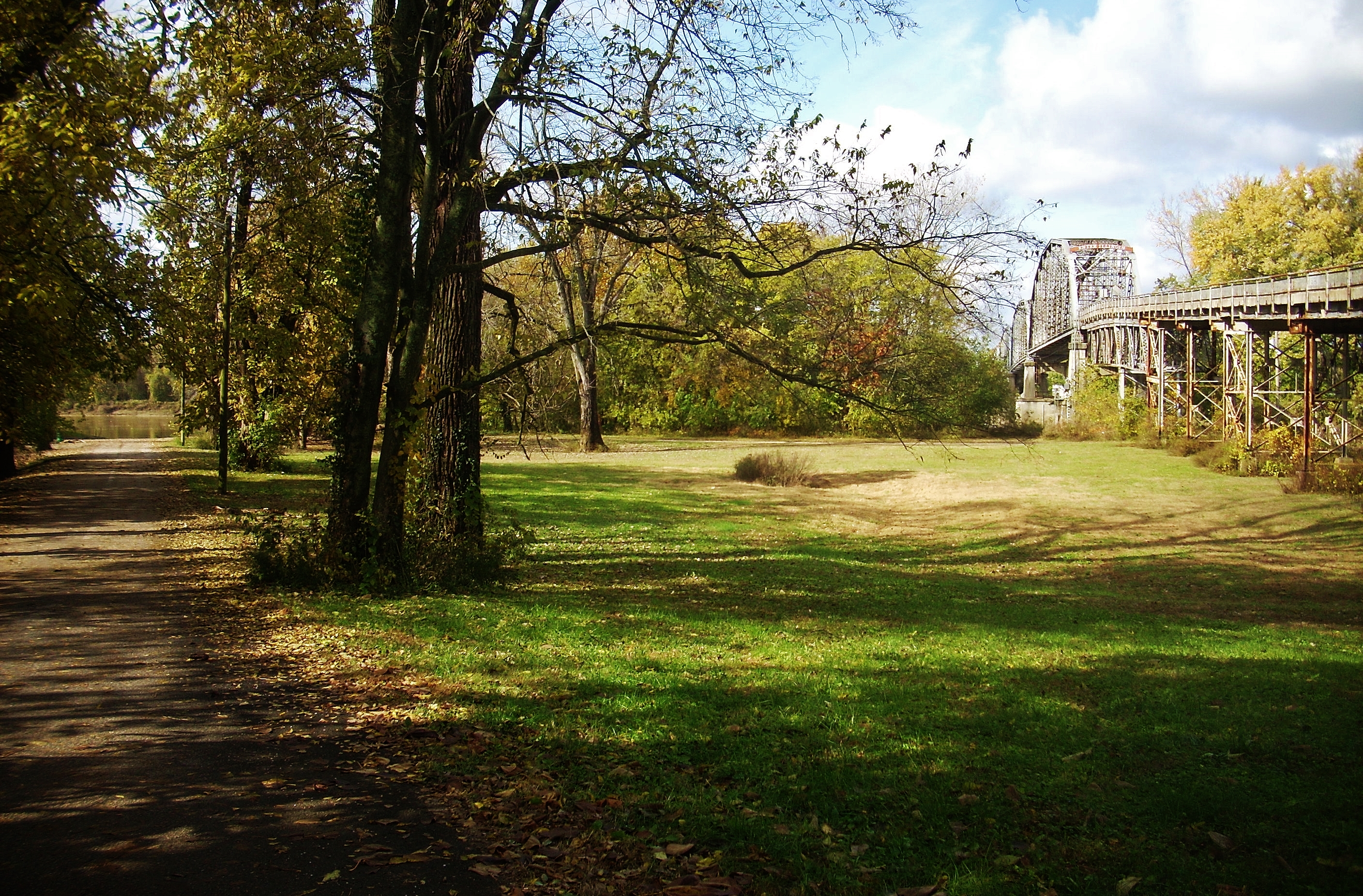
The put in I used today is located under a bridge which used to span from New Harmony to Illinois. It was closed in 2012 due the high costs of repairing it, but this was probably a blessing. Steering wheels dull the mind and harden the heart, leaving us in a state in which we can be used - and not in a good way. The less traffic that passes through a town the more I like it! Below are some photos of the bridge. I'm always so intrigued by abandoned things. The first shot also shows the lane that leads to the put in on the left.

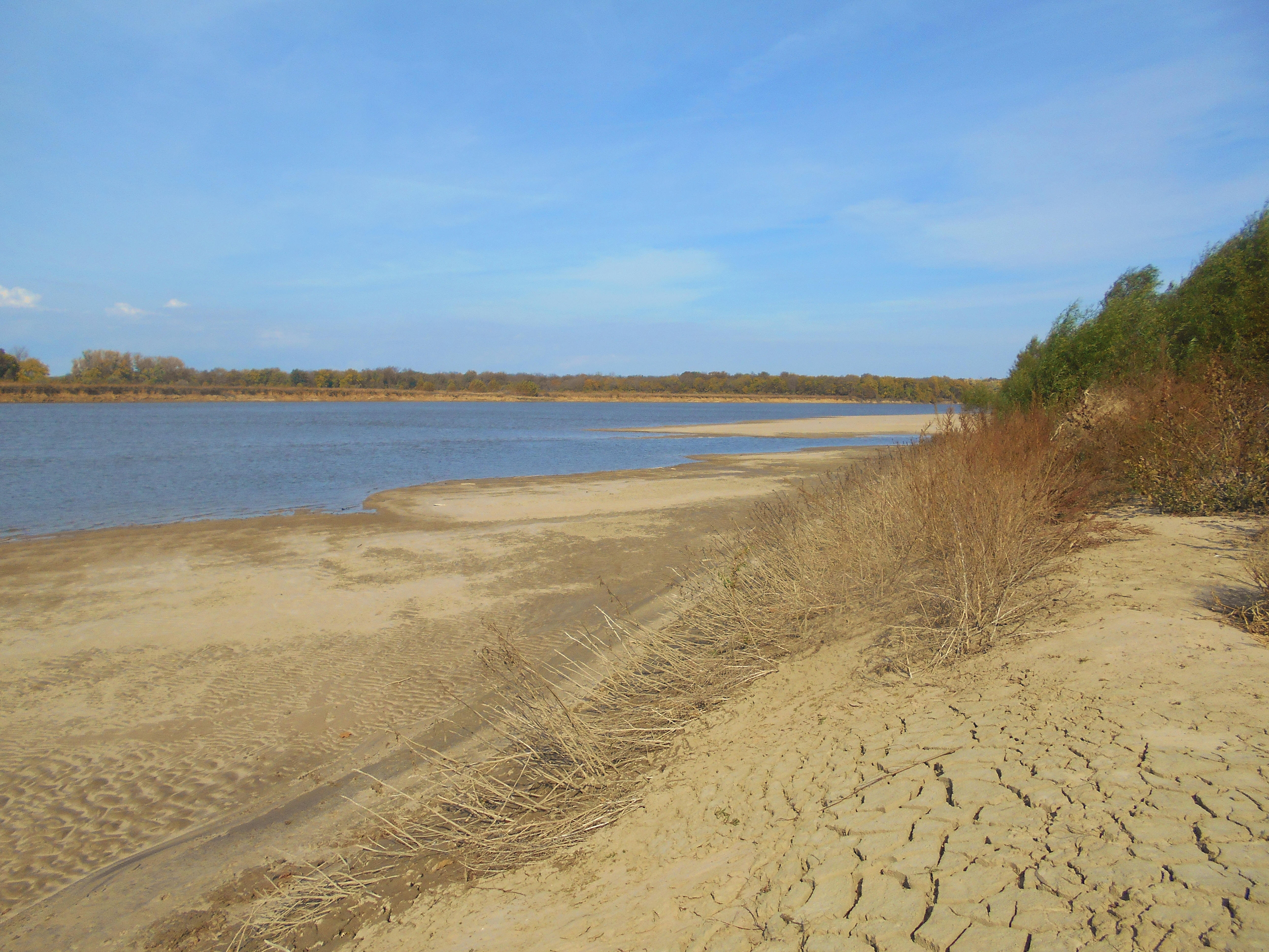
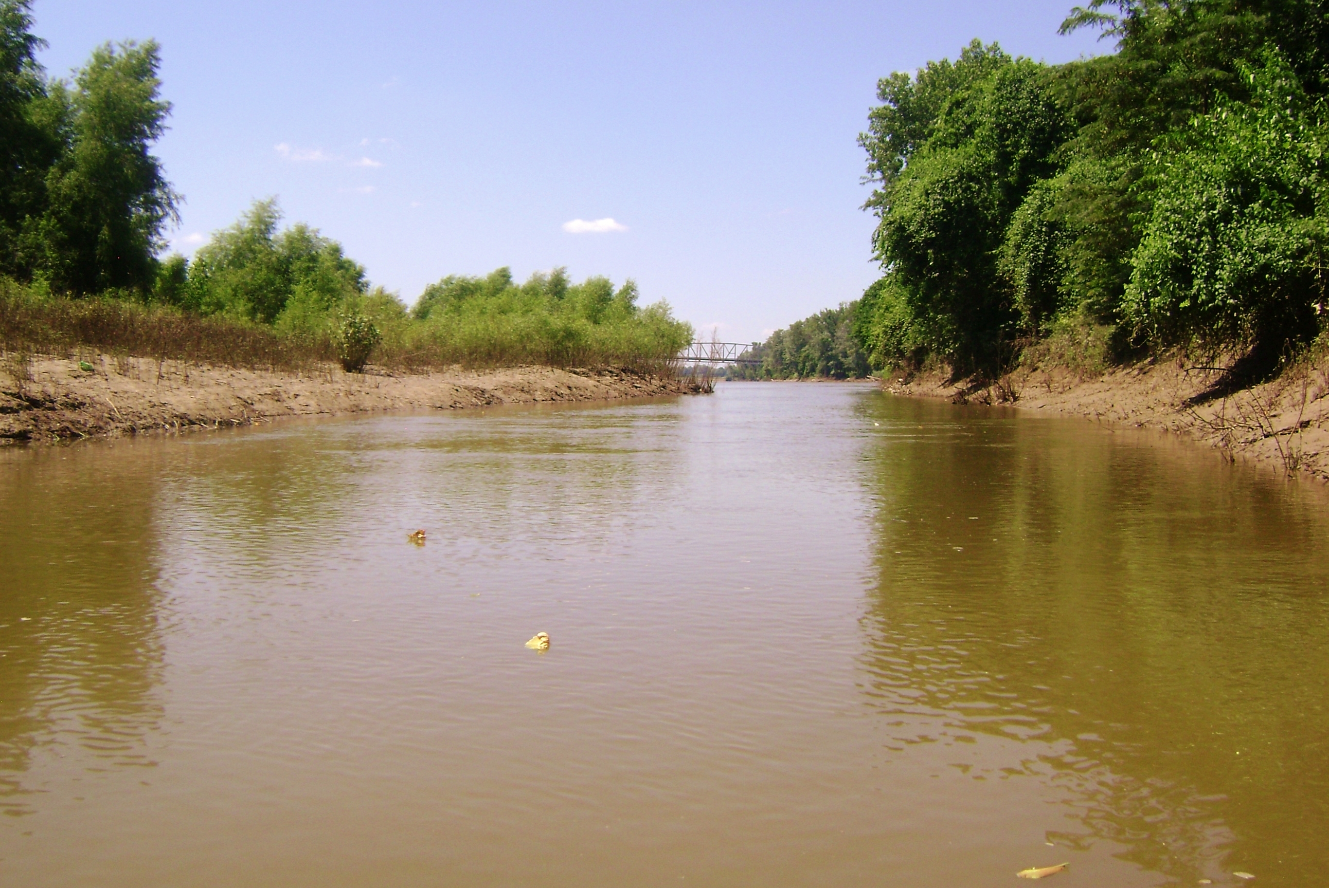
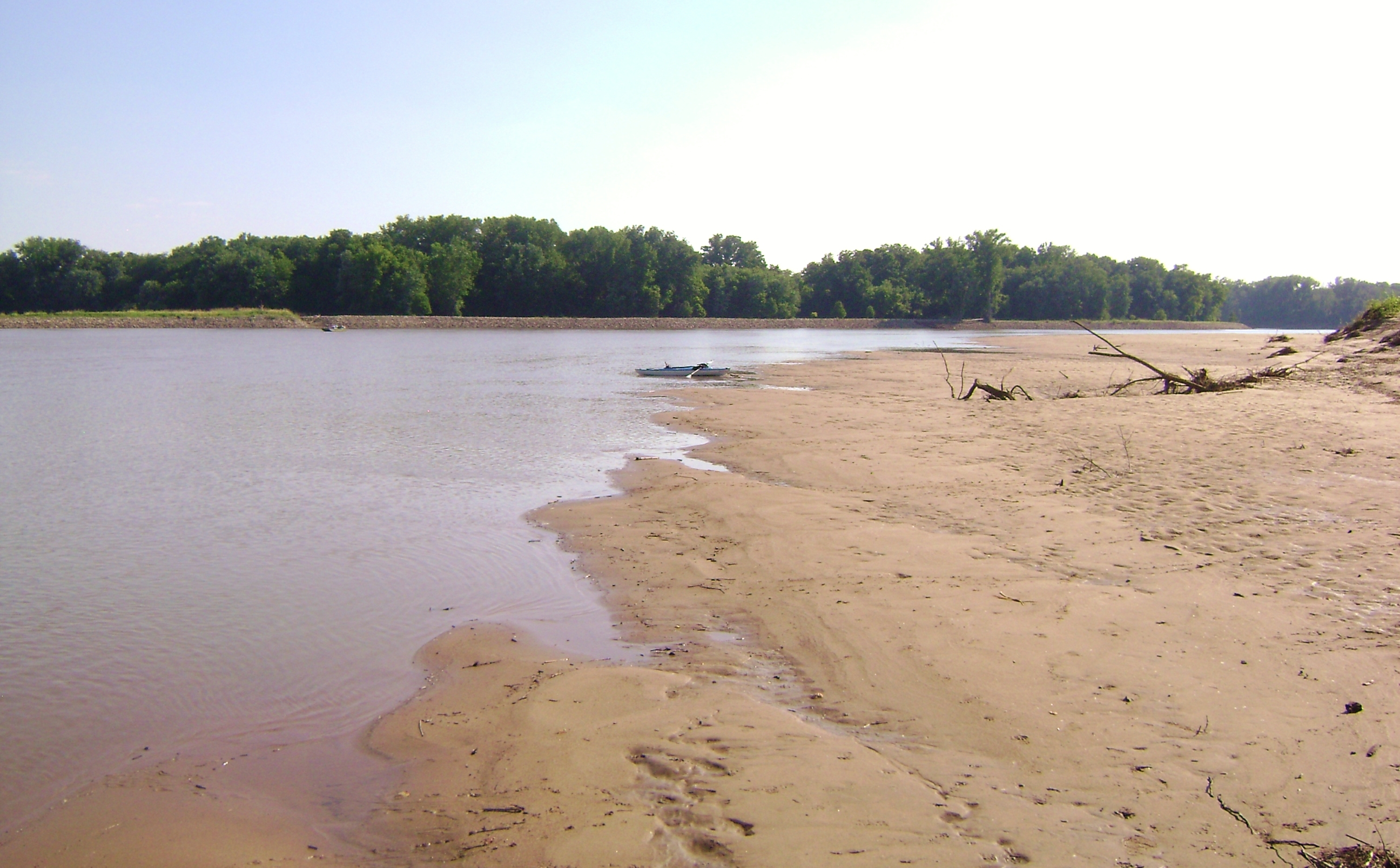
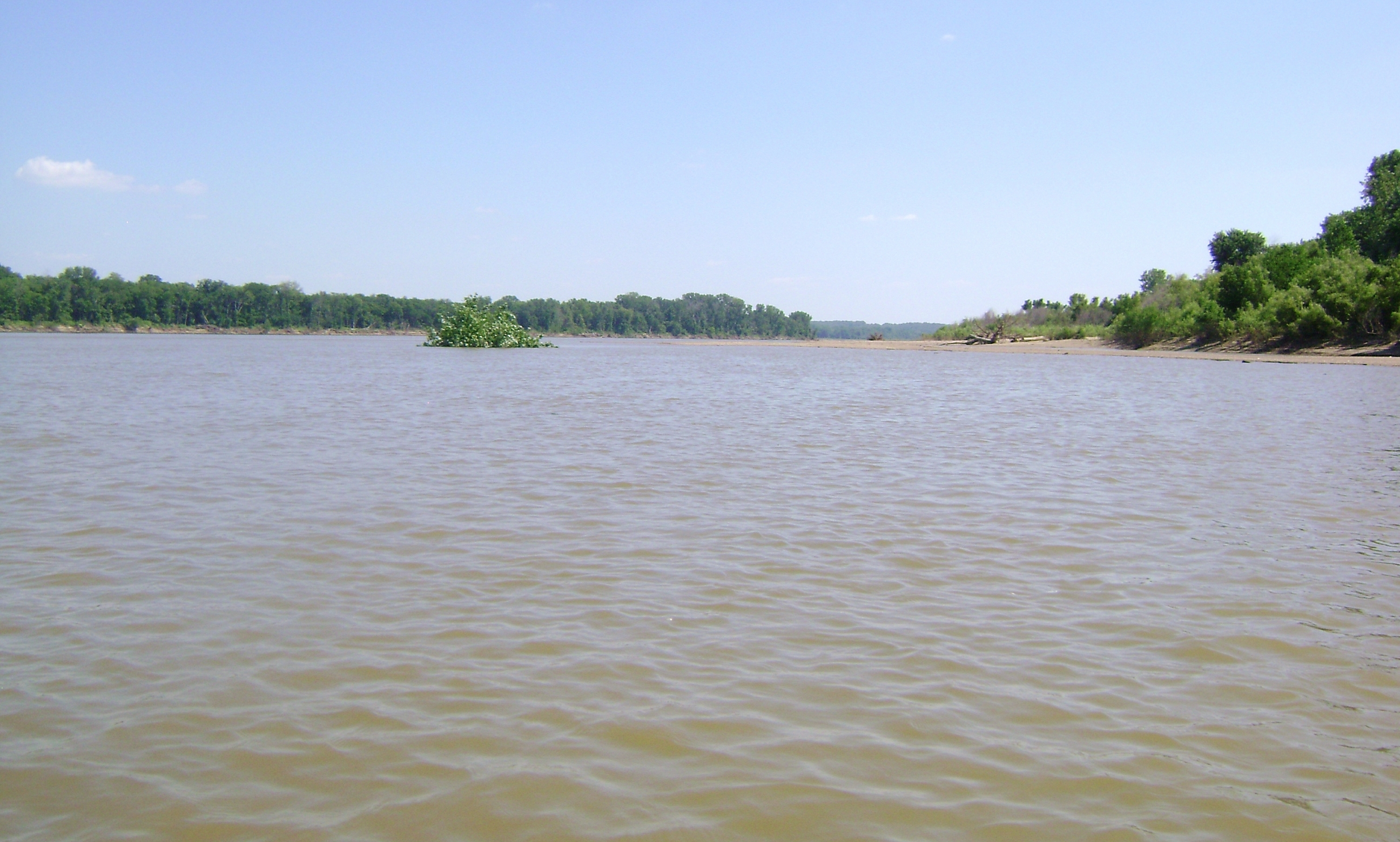
If you're looking down the ramp and you decide to start paddling to the left, or downriver, you won't get too far at all before you reach an old and very low lying dam. All dams can be extremely dangerous and I'd certainly be on the lookout for this one, yet it's so low that you might not even see it. I'd listen for any sounds of running water or simply stop at the first large sand bar you see on your left side (seen in the next photo) and turn back. In fact, I think you'd be much better off paddling the other direction if you're not familiar with the area. There's a ton more to see.
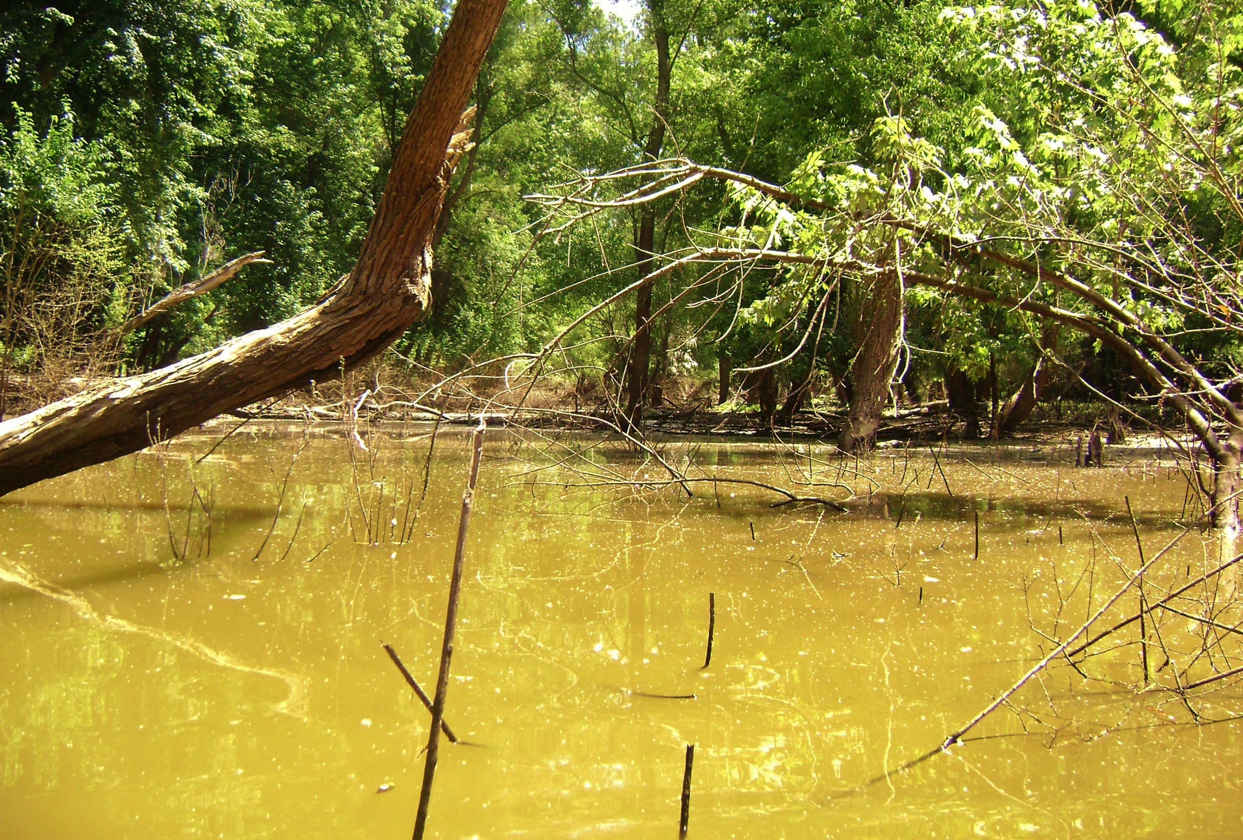
Interestingly, you can sometimes paddle straight at high water. There's a slough-like area across from you that at times will take the appearance of an incoming stream. It may be manifested on either side of the bridge or perhaps both. Here are some shots I took one day when I was able to get in.

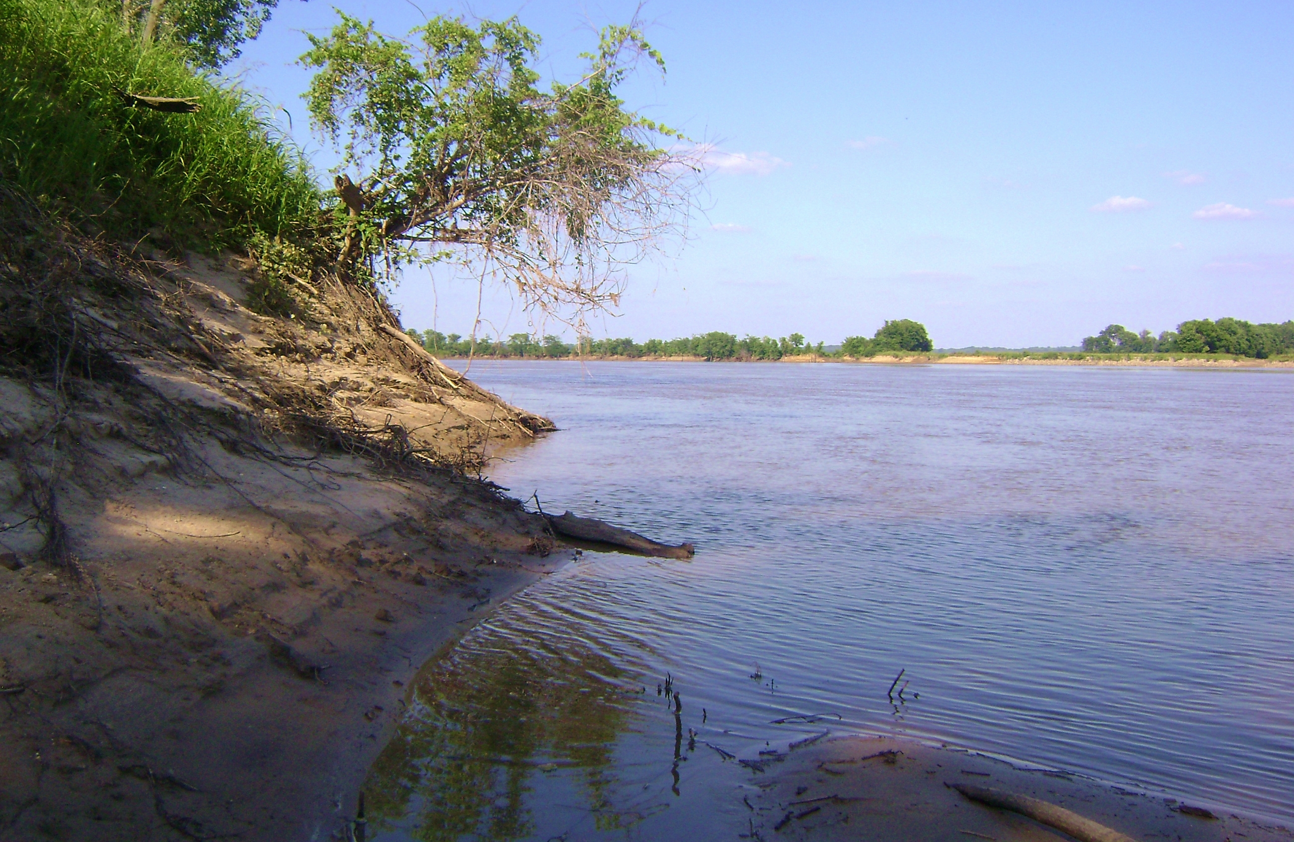
Back at the Wabash and heading upriver now, you'll enter into a "S" shape which has you making a right curve followed by a sharper left. You'll have a long sandbar on your left side (from where I took the first two photos below) while on the right you'll be able to spot one of the New Harmony trails. Golf carts might the telltale signs. Many people in town use them for transport on the trail as well as in town, as do many of the hotel guests. The third picture below shows what it looks like over there. The hotel is very nice, by the way, as is their restaurant, the Red Geranium. I stayed here with my mom one year for Thanksgiving.
.jpg)
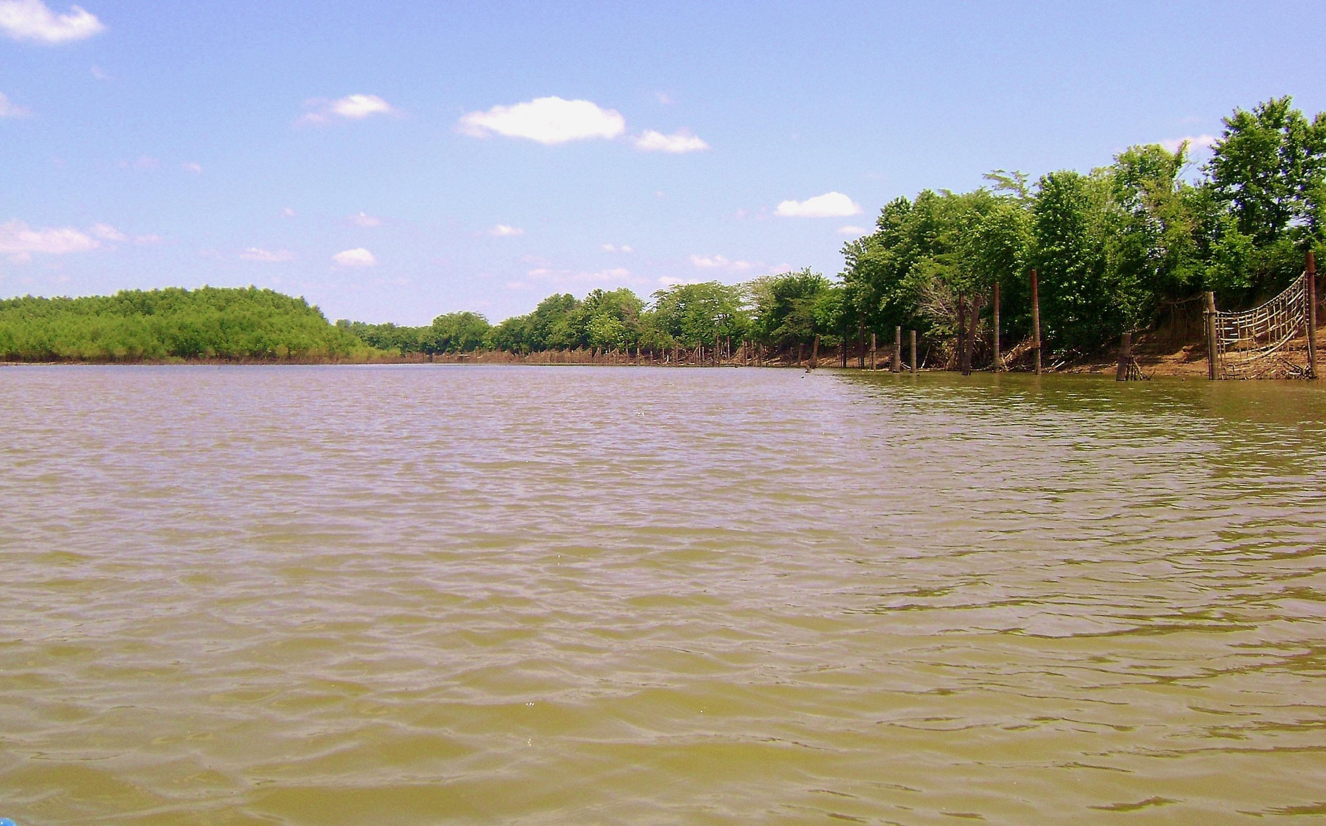
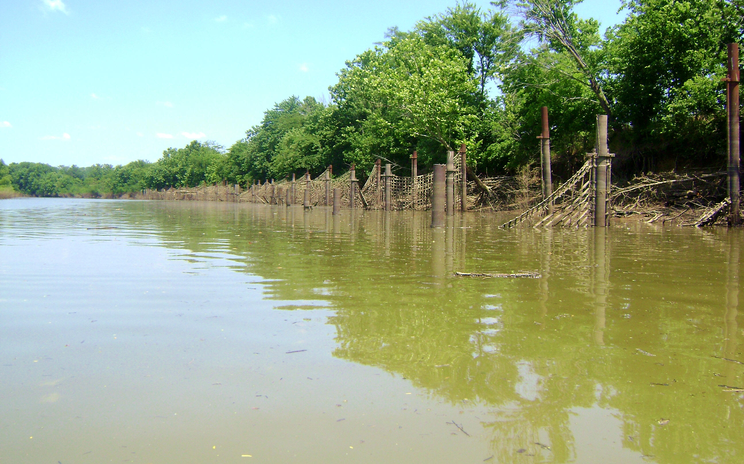
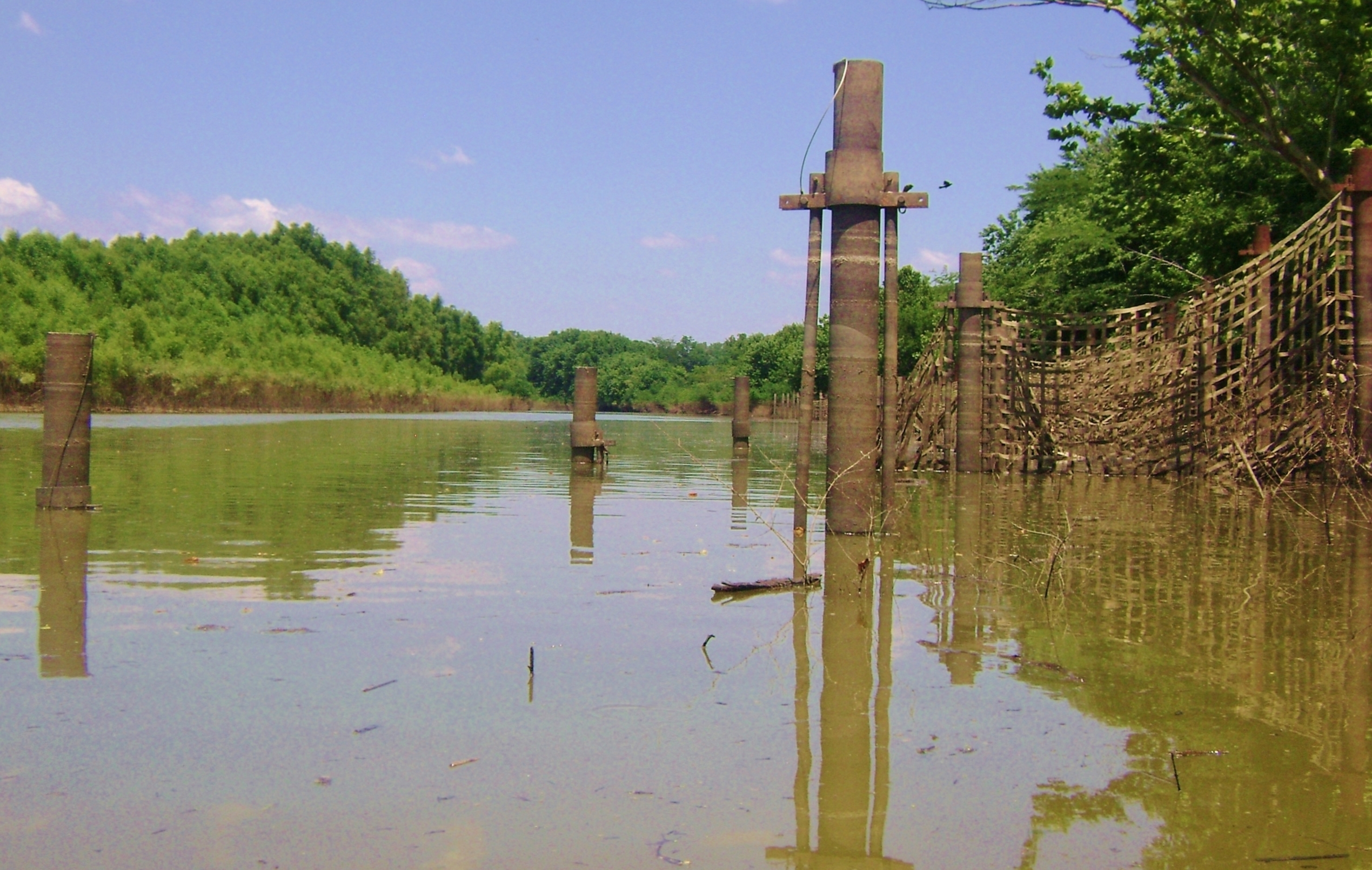
After going about a mile you'll meet with the entrance to the Harmony Creek, yet I've never been able to get into this one. More interesting is what will have become visible by now a little further down. It looks like an incoming stream but there's a lot more going on here than meets the eye. Not that what does meet the eye isn't interesting enough! I've paddled hundreds of miles and I've never seen anything like the structures I saw here. Check out the photo's below! I am incredibly intrigued. If anyone could provide more information I'd love it! What would all this netting have been for?

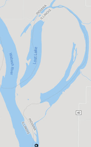
Anyway, this "incoming stream" actually represents the former path of the Wabash River! If you look at the somewhat distorted snippet of a Google map below you're in the bottom middle as represented by the black circle I've tried to draw. I've never been able to get back far enough, but it looks like you might be able to reach the Black River at the top center of the map in high water. Also note that the water nearly forms a circle, with the land in the middle being referred to as Bull Island. Note Lois Lake too. Yet... I wonder if all the water might connect after a good rainfall? Could it be that the Wabash might occassionally reclaim it's old channel, incorporating Lois Lake back into itself as well, to form a complete circle?
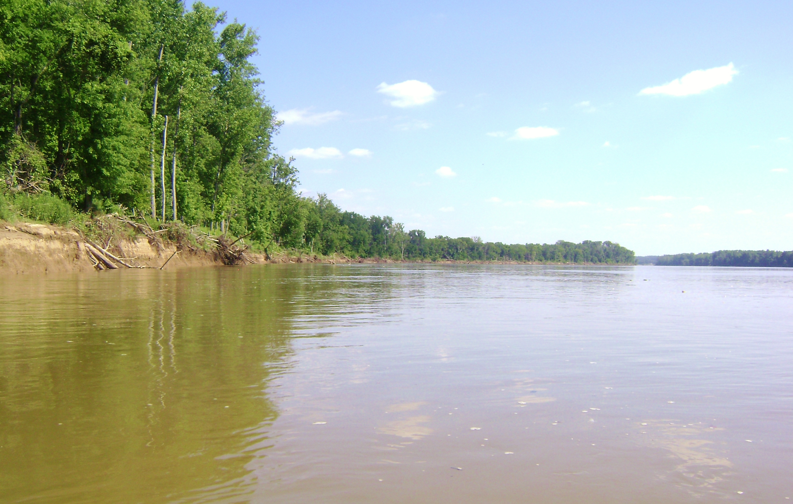
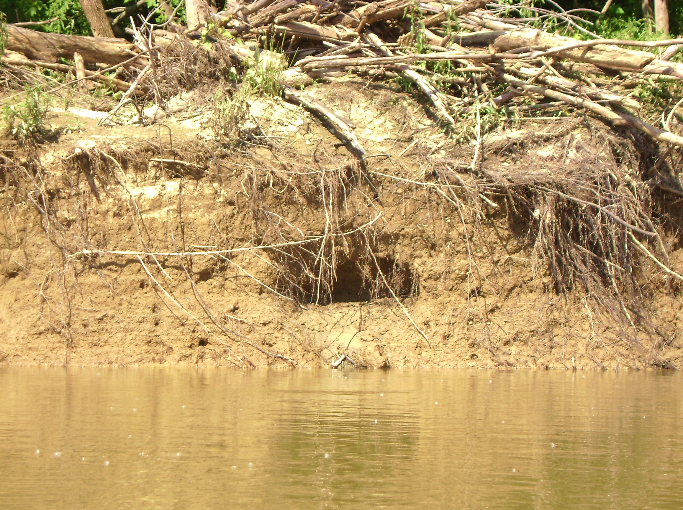
From this point the river probably hasn't changed too much since the frontier days. It's untamed, beautiful and serene. You're surrounded by nothing but farmland with a lot of beach areas. I've not yet been able to make it as far as the I64 Bridge given the current in the times that I've come out, but I really enjoy this area as I imagine what it might have been like for a Native American to paddle here in a canoe. The photo's below were taken looking back downriver toward New Harmony.
I wonder what lives here? :)
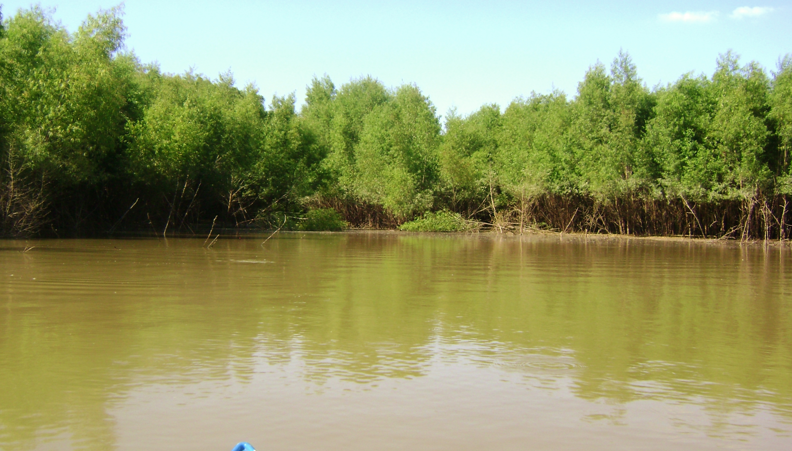
I ended at about the point where the Little Fox River comes in, but I'm afraid I waited too long to compose this journal and now I can't remember exactly where it was that I found a marshy, reed filled area below. I think it was around this point, but it was fun to paddle in. Being so low on the water I truly felt like I was one with my surroundings here.
In the times I've come out here I've generally floated on my way back as I take everything in one last time. As far as access to the Wabash, it looks to be fairly easy upriver from New Harmony but very difficult downstream. You can put in from Harmonie State Park just below the dam I mentioned, but as of this writing they charge $7 in state and $9 out of state for entry. After that, you're really out of luck unless you might happen to know a local farmer. I don't see any ramps below Harmonie Park.
Are you hungry? Thirsty? There's a great cafe/bar/restaurant in town called Sara's New Harmony Way. They serve good food and they even have espresso drinks. It's a great place to unwind as you look over the historic main intersection in town - or maybe compose a photo-journal on the Wabash River. :)
DIRECTIONS:
New Harmony, Indiana is located off Route 69 about 45 minutes northwest of Evansville and about 20 minutes north of Mount Vernon. From 69 head due west on a continuation of Route 66 straight through town to reach a seeming dead end at an old bridge. Then veer just to the left of it and head down the lane to the ramp.