HIKING
HOME
PADDLING
Mountwood Park
Southeastern Section Lollipop Loop:
Gary's Grind/White Oak Ridge/Powerline/Walter Taitt/Mansion/Hunter's
Roost/Powerline/White Oak Ridge/Gary's Grind
September 2019
Mountwood Park Website
There's a lot to explore at Mountwood Park! Located about 20 minutes East
of Parkersburg, West Virginia and about an hour West of Clarksburg, there are 24
hiking/mountain biking trails out here. I'll only cover about 1/4 of them
in this photo-journal - a 9 mile hike in the Southeast quadrant of the park.
Expect to see a lot of mountain bikes and a lot of historical remnants if you
come out. The park is very popular with bikers and in the 1800s the
area essentially comprised the grounds of the Volcanic Oil and Coal Company.
You can still see remnants of the operation all over the place and you can even
visit the ruins of the owner's old mansion on this hike. Today my visit
coincided with the
Volcano
Day's Antique Engine Show that they have here. They were setting up
for it. It looks like fun!
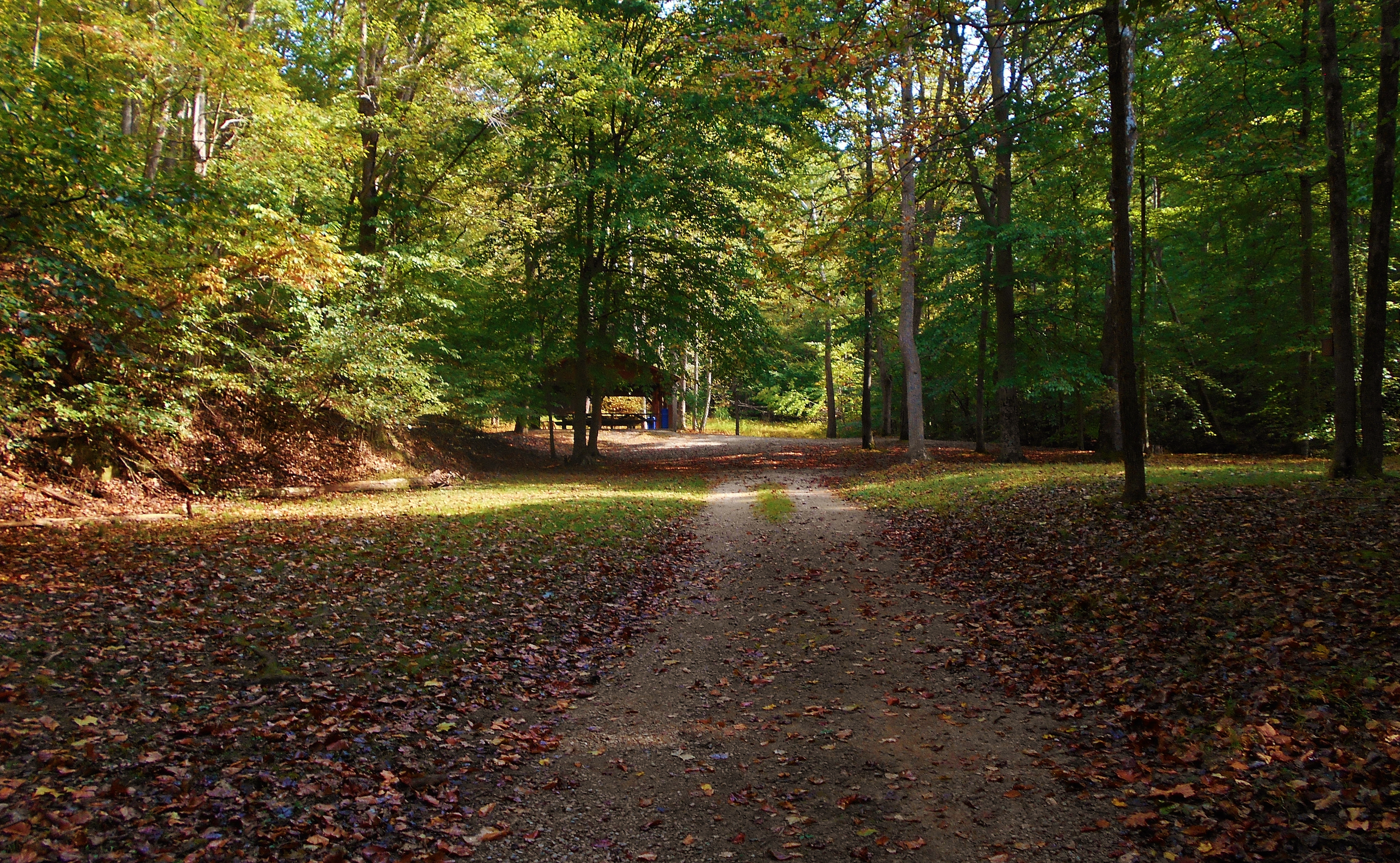
I began my day by driving into the park and heading all the way to the back,
passing the lake and the park office as I went. Then, just before the road
begins to curve and ascend, you'll find a little parking area on your left.
This was where I left my car and began walking along a road which would take me
back to the picnic shelter below (you may have to pass under a gate to do this).
Here you'll see a sign for Gary's Grind to your right.
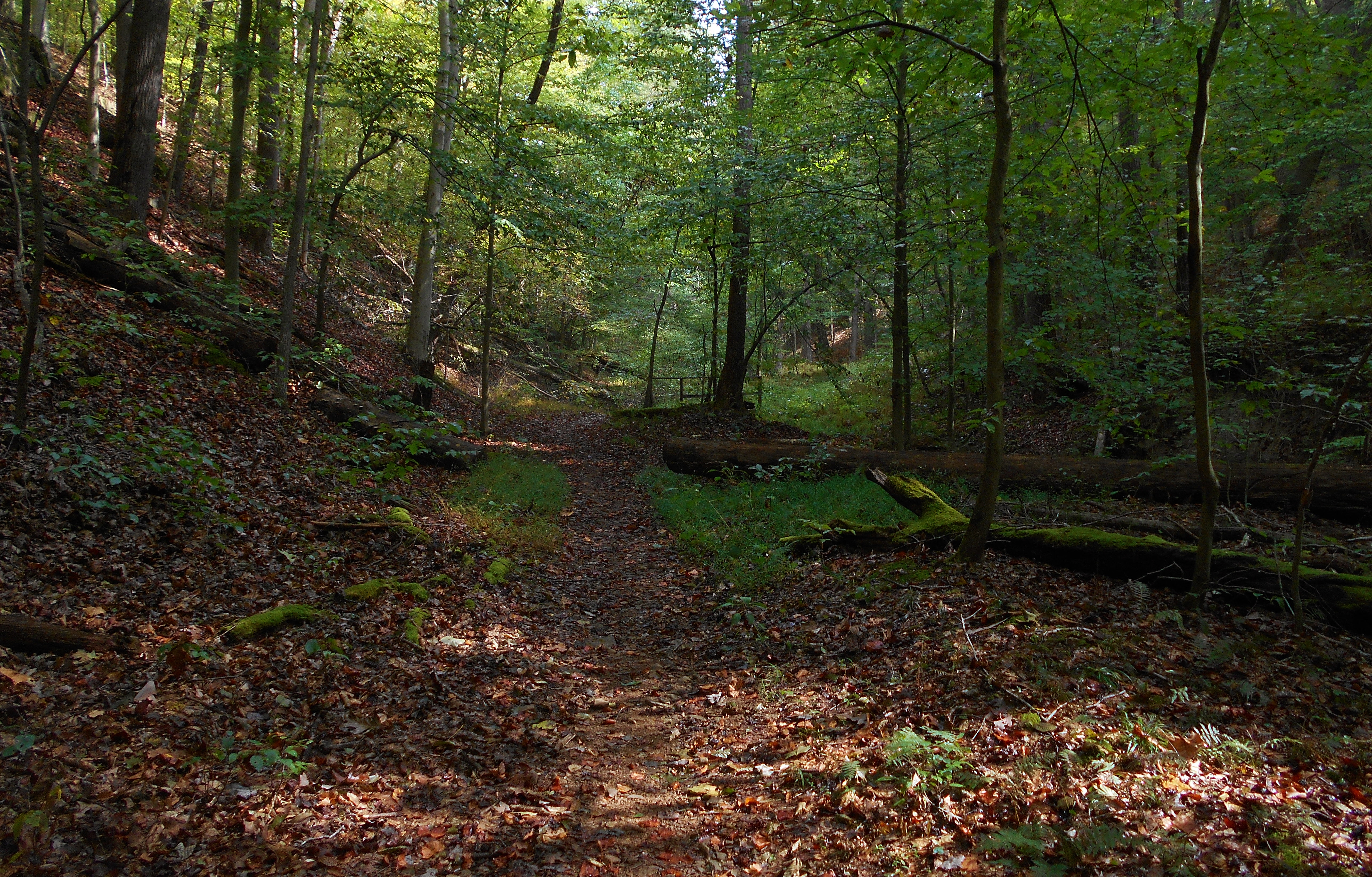
Gary's Grind Trail runs 1.8 miles and it'll first take you alongside a stream
before leading you on an ascent which will eventually level out, curve to the
right and then deposit you on a road where you'll catch the next trail. I
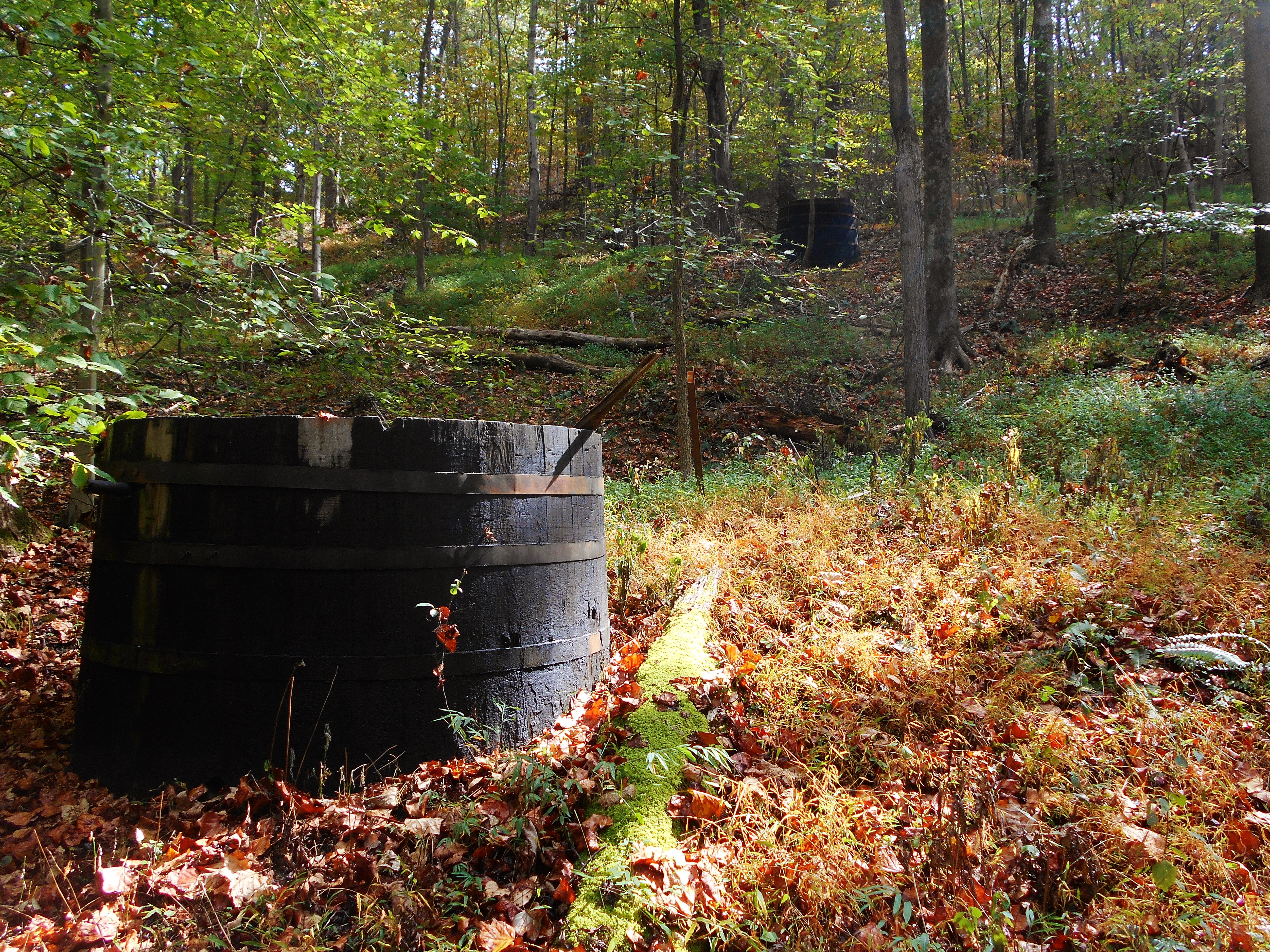
would find Gary's Grind notable for it's numerous historical vestiges.
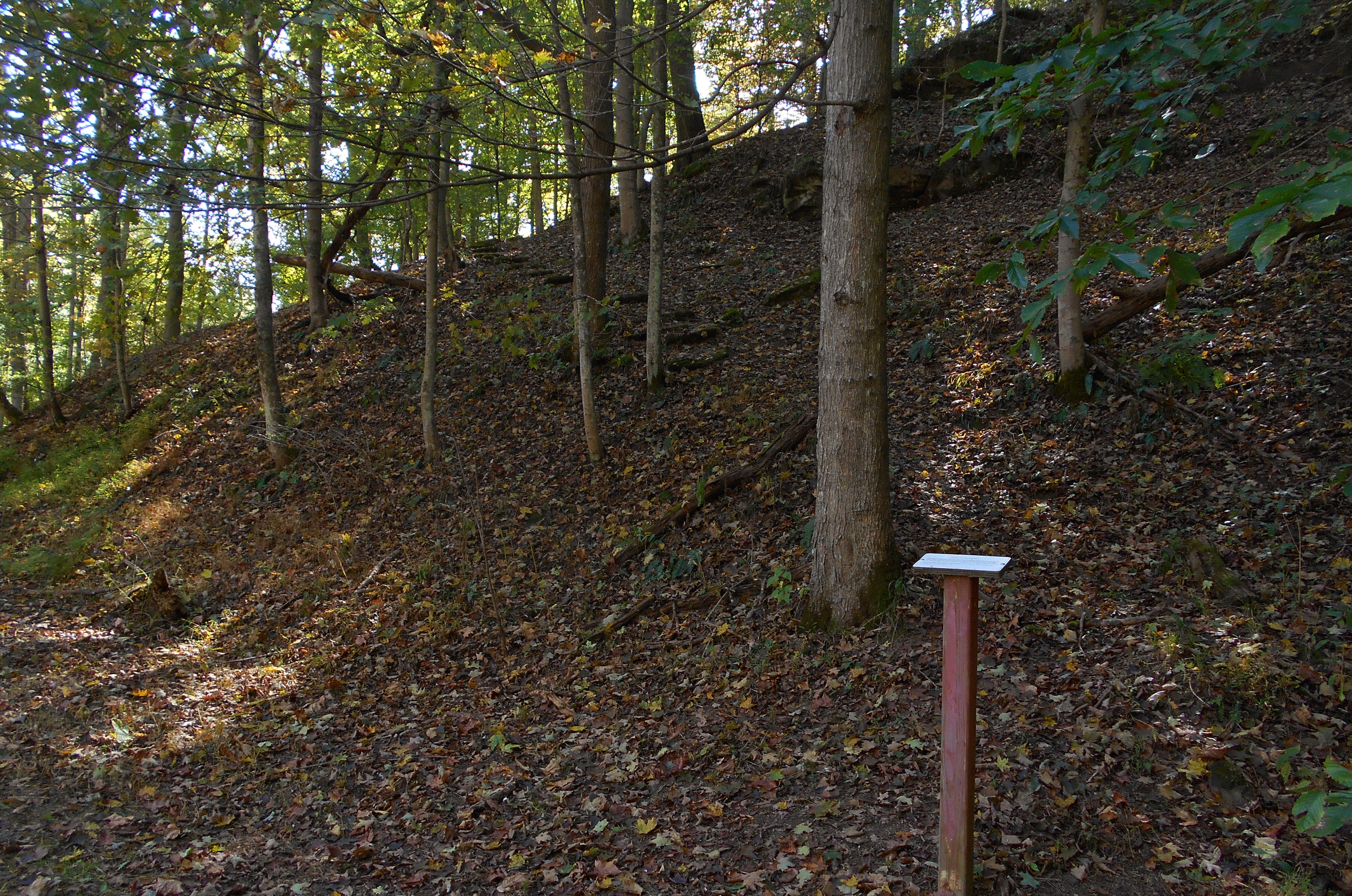
These included a half dozen of what the park website refers to as old woodstove
oil storage tanks (see second picture below for what I mean). Please note
that there are a couple trail intersections to watch out for. To proceed
as I'll be describing, you'll want to take a right uphill at the first one.
If you went straight you'd be on the Little Gnarly Trail (which I'll describe it
in a another journal). Later, you'll see a sign for the Pump House Trail.
I continued straight at this one, to explore it another time.
Once you reach a roadway you'll have completed Gary's Grind. Here you'll
want to continue along the path you see directly across from you. This is
the White Oak Ridge Trail. It's is a .5 miler that will take you along or
near the top of some ridge lines. At the very beginning, however, you
might see a sign on your left which simply indicates "Dixie". I'm not sure
what this is, but I think it could be a horse or ATV trail. Anyway, White
Oak Ridge ends near the scene below where you've reached a second road. On
your right and just below you, you'll see the entrance to a power station and
that's appropriate because the next trail is called Powerline. This new
path continues across the road.
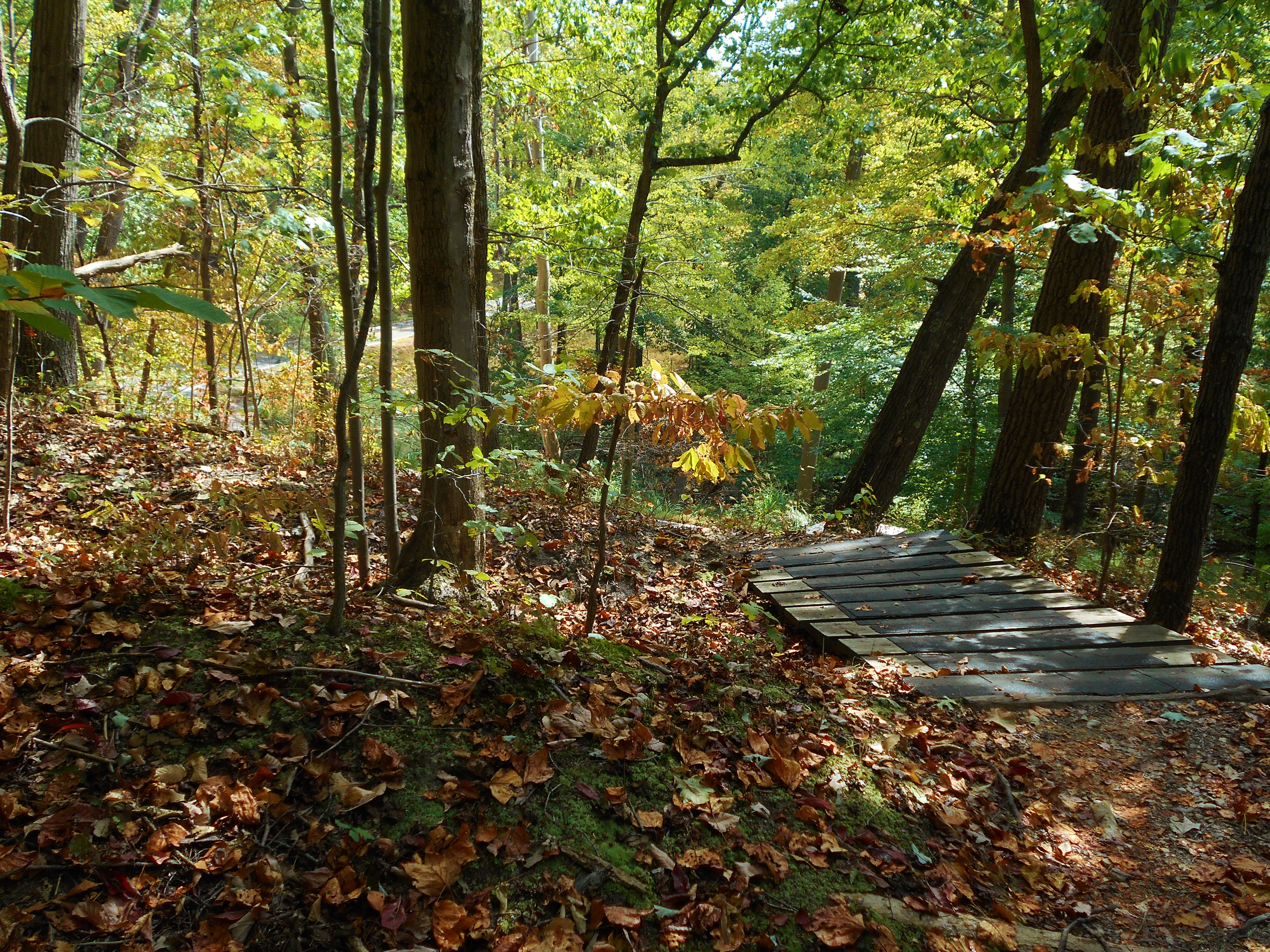
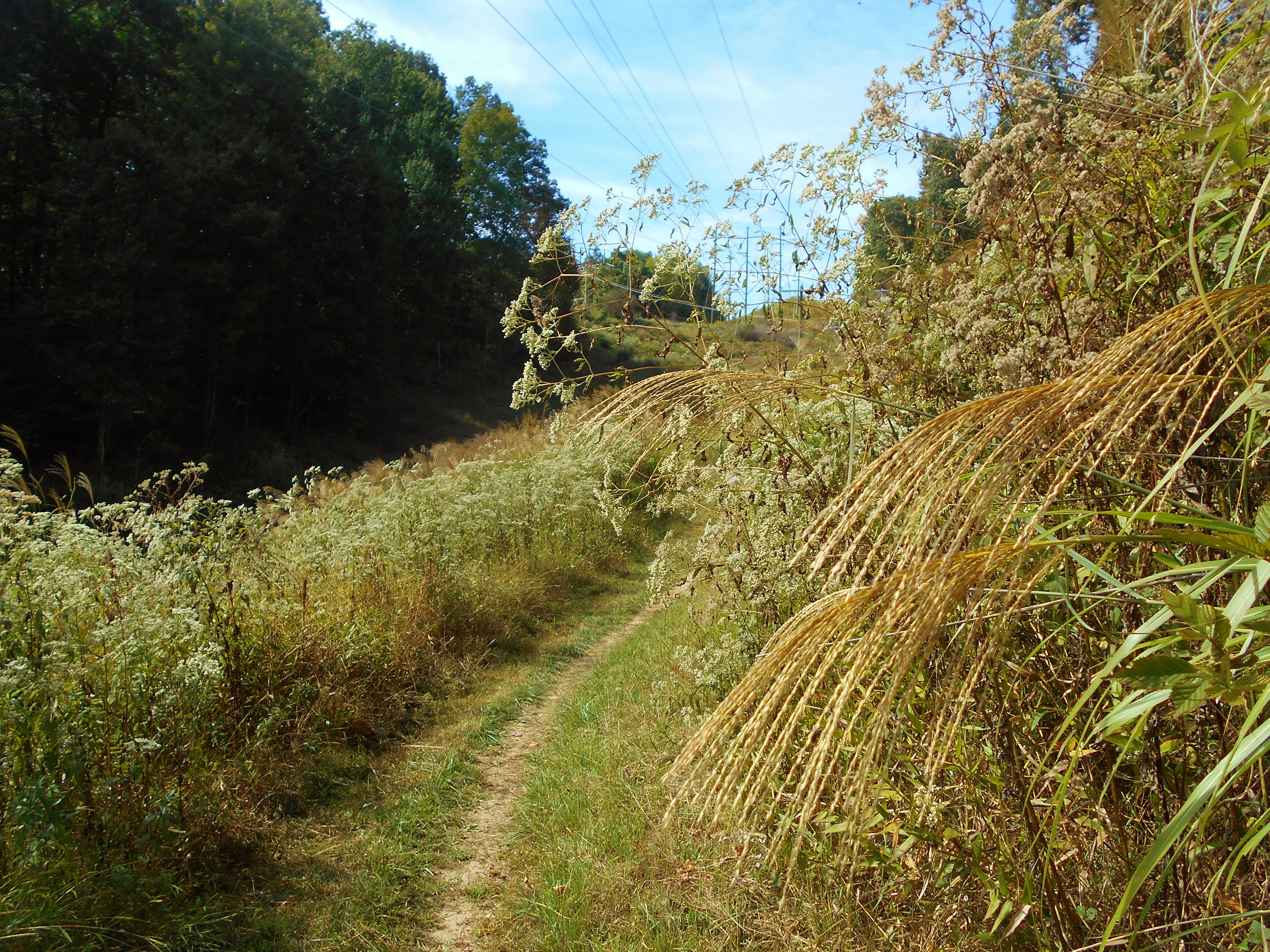
Powerline Trail is one that runs 1.2 miles, mostly alongside or through an area
that's been cleared for - you guessed it - power lines. :) There's
some pretty cool scenery in here that provides an interesting contrast to what
you've seen so far. I chose the photo below for the perspective it gives,
both on the characteristics of the trail and on the flora in this section.
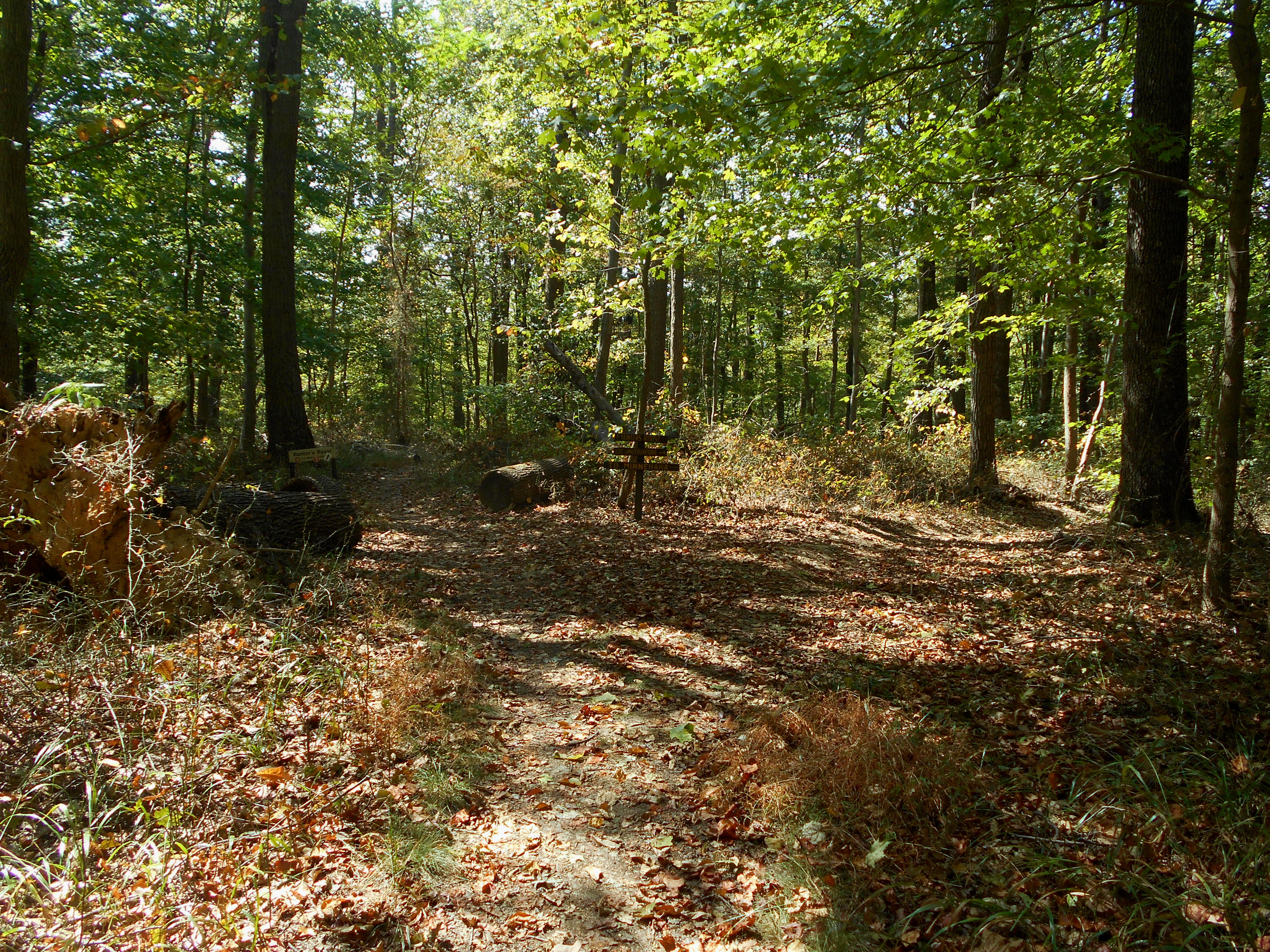
Meanwhile, there are several intersections on Powerline to keep in mind. I
passed by a sign for the Haystack Trail before reaching the intersection in the
photo below. I took a right here, but you'll be coming back to this very
same point on your way back along the trail you see to your left, Hunter's
Roost.
At another point I passed by a connector trail for the Log Jam Trail before
reaching a sign simply marked "Minnehaha". Poweline is actually the trail
to the left, while the Minnehaha Trail breaks right. The next point can be
even more confusing. Here you can see Minnehaha to the left and Hunter's
Roost to the right while Powerline runs right down the middle! Lastly, I
passed the Mansion and Caretaker Trails. These will both lead you to the
mansion ruins, but I'd like to describe a more historical (although much more
strenuous) route - one that will take you up some ancient steps to the old
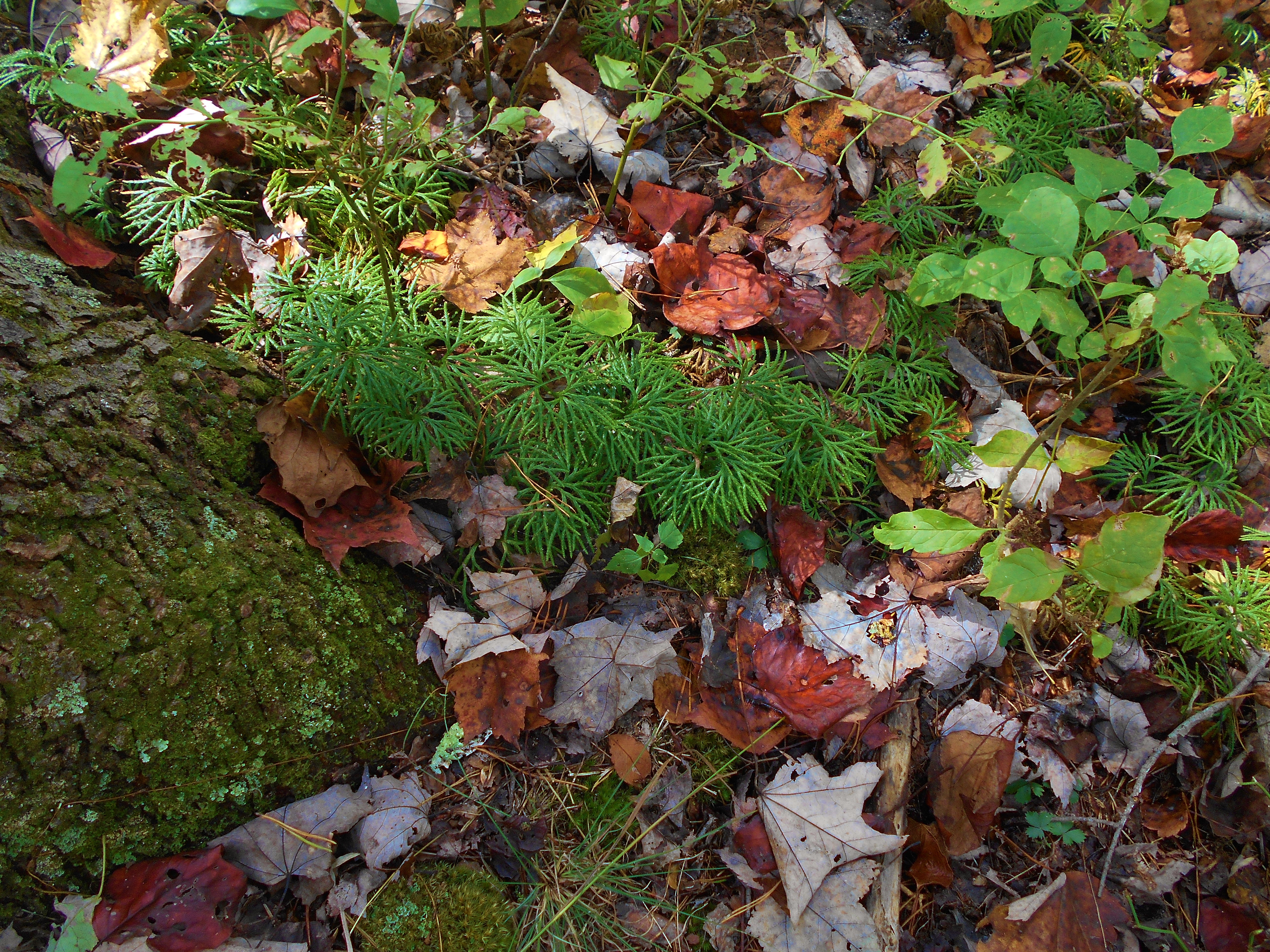
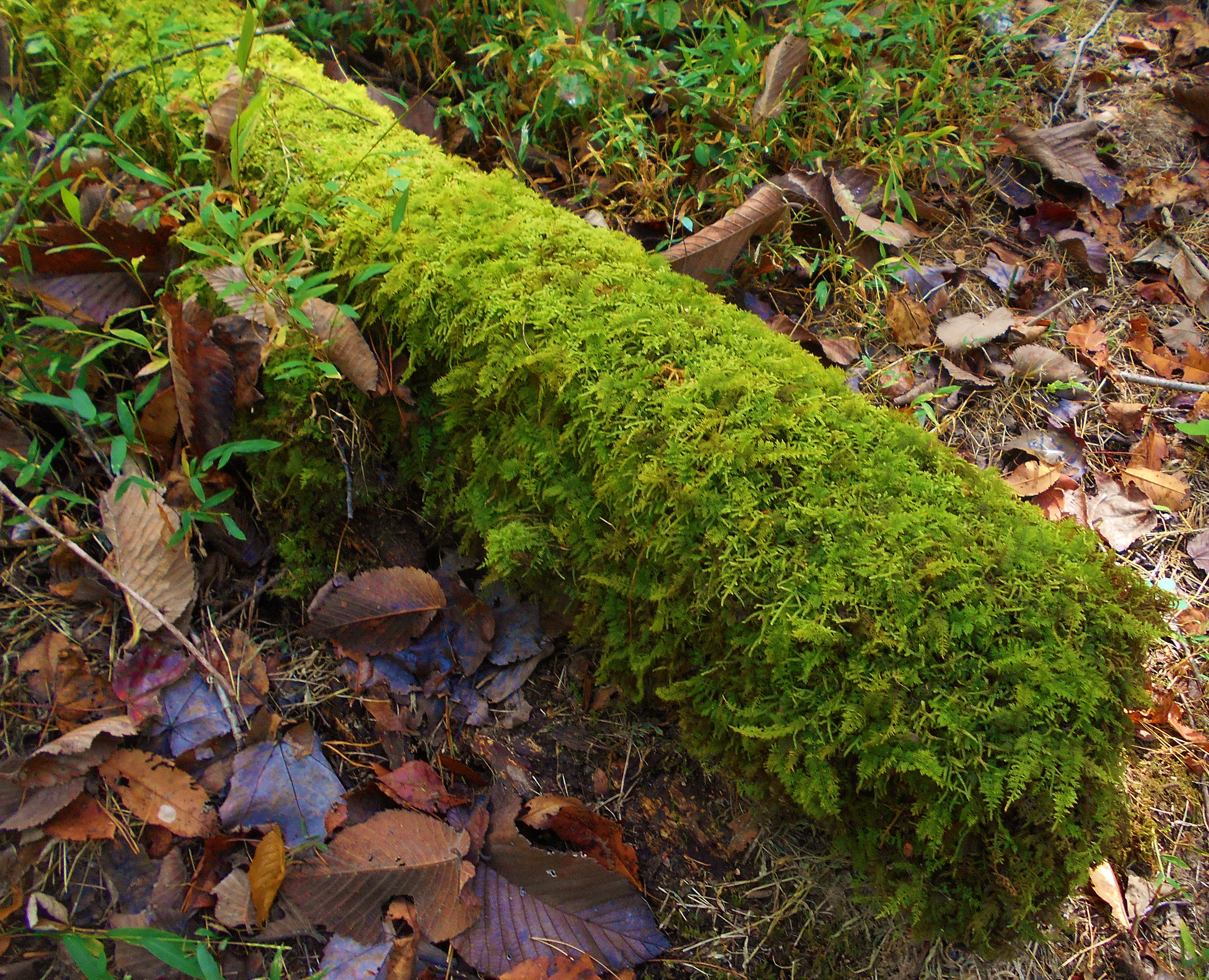
ruins. This in mind, I followed Powerline to its end at the Walter Taitt
Trail and took a left. Below are a couple of the green scenes in here that
I found interesting...
At any rate, you're essentially in the middle of the graveled Walter Taitt at
this point and you'll proceed for perhaps a mile, near the end of which you'll
descend toward another roadway. There's a gate at the bottom and if you
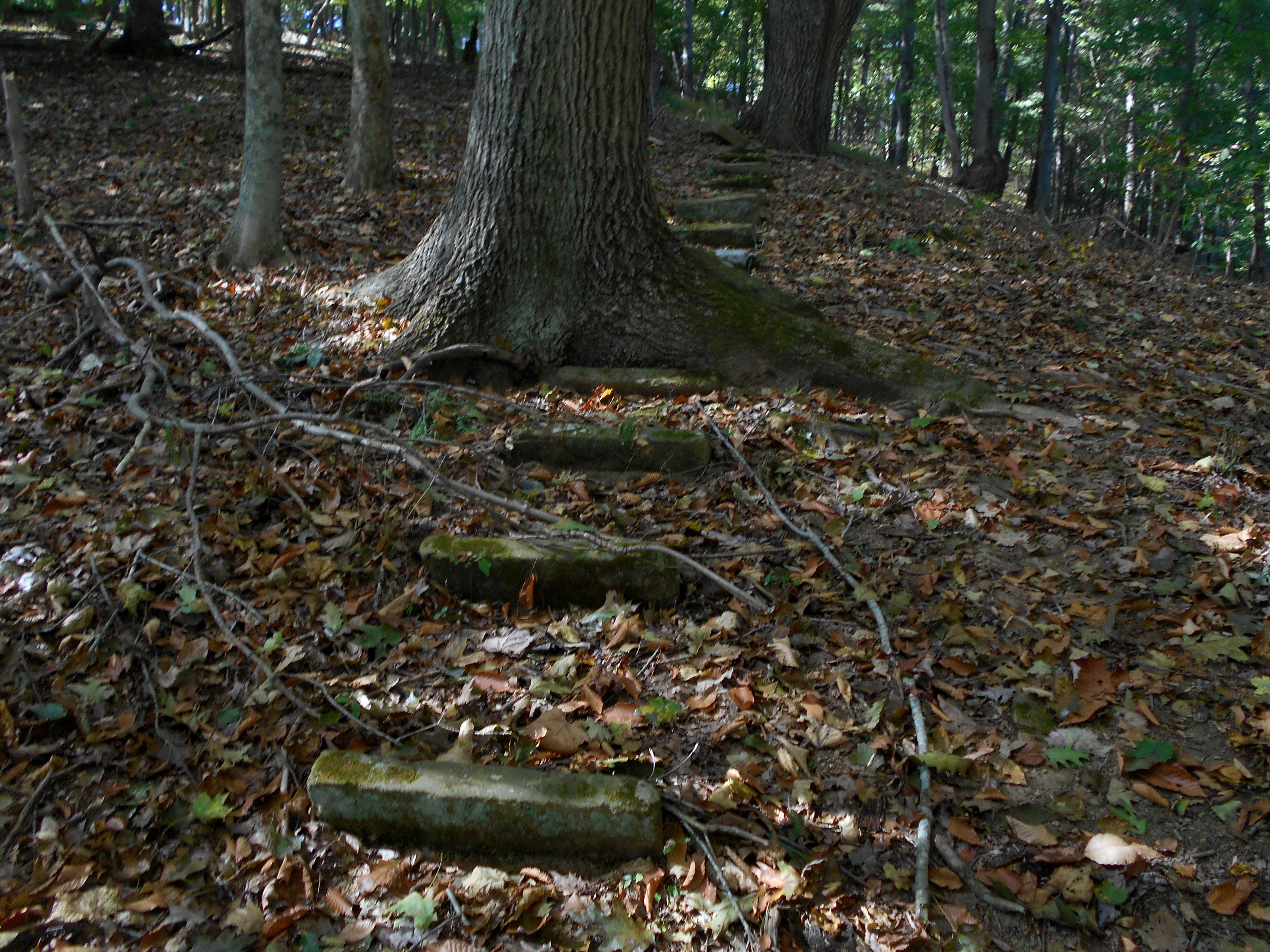
look to the left of it you'll spot the marker in the photo below. Walk
over to that marker, and as you read it you'll see the steps (they begin at
about the middle of the photo). If you were standing at this point nearly
150 years ago you would be in the midst of a fairly large town - Volvano, West
Virginia. A railroad even ran through here to support the community.
Not that can tell any of this now. When a fire destroyed the town in 1879
it was never fully rebuilt. It's a fascinating story!
Anyway, these steps would have been used by the folks of Volcano if they wanted
to visit the owner of Volcanic Oil and Coal, a Mr. W.C. Stiles (those that
didn't have access to a horse, that is. They probably would have made an
ascent along the path you've just taken). Mr. Stiles had the mansion I
mentioned which stood at the top of these steps. He called it Thornhill,
and as you ascend you'll be following in the path of history.
Here's a
great web page to check out, both on Mr. Stiles and on the history of Volcano,
West Virginia.
Check out these steps! They're so old that most of them are perpendicular
to the ground instead of parallel. Also note the large tree below.
It must have originated as a seed which fell between two of these steps so many
years ago!
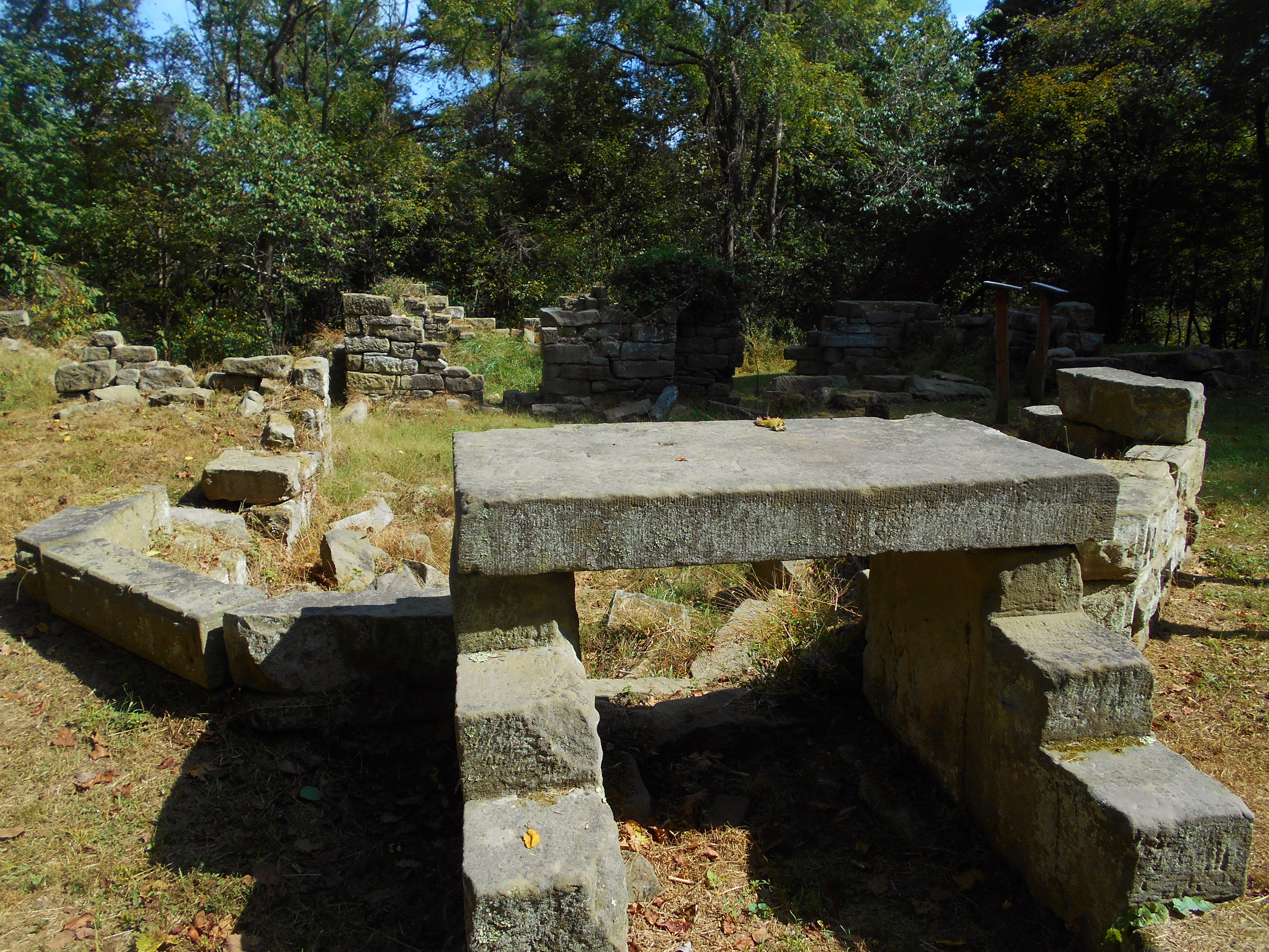
Once you reach the ruins I'd venture to guess that you'll find them as
spellbinding as I did when I first saw them! Pictures of what the
Thornhill Mansion used to look like can be found online, but in my opinion the
foundation visible below might be the most impressive thing about the old
structure. Check out the design! It's pretty intricate! I
stayed here for quite a while, envisioning what life might have been like 150
years ago. For me, a mental stroll through history like this is a kind of
spiritual experience that's both comfortably humbling and profoundly peaceful -
until it eventually creeps into my consciousness that I'll have to be on my way
at some point.
Proceeding from here along a grassy path, you'll find ruins of other structures
too if you head straight (or to the right). You're now on the Mansion
Trail although you may not see signs indicating so (if in doubt just follow the
interpretive exhibits). The old barn comes next. This must have been
some barn!!
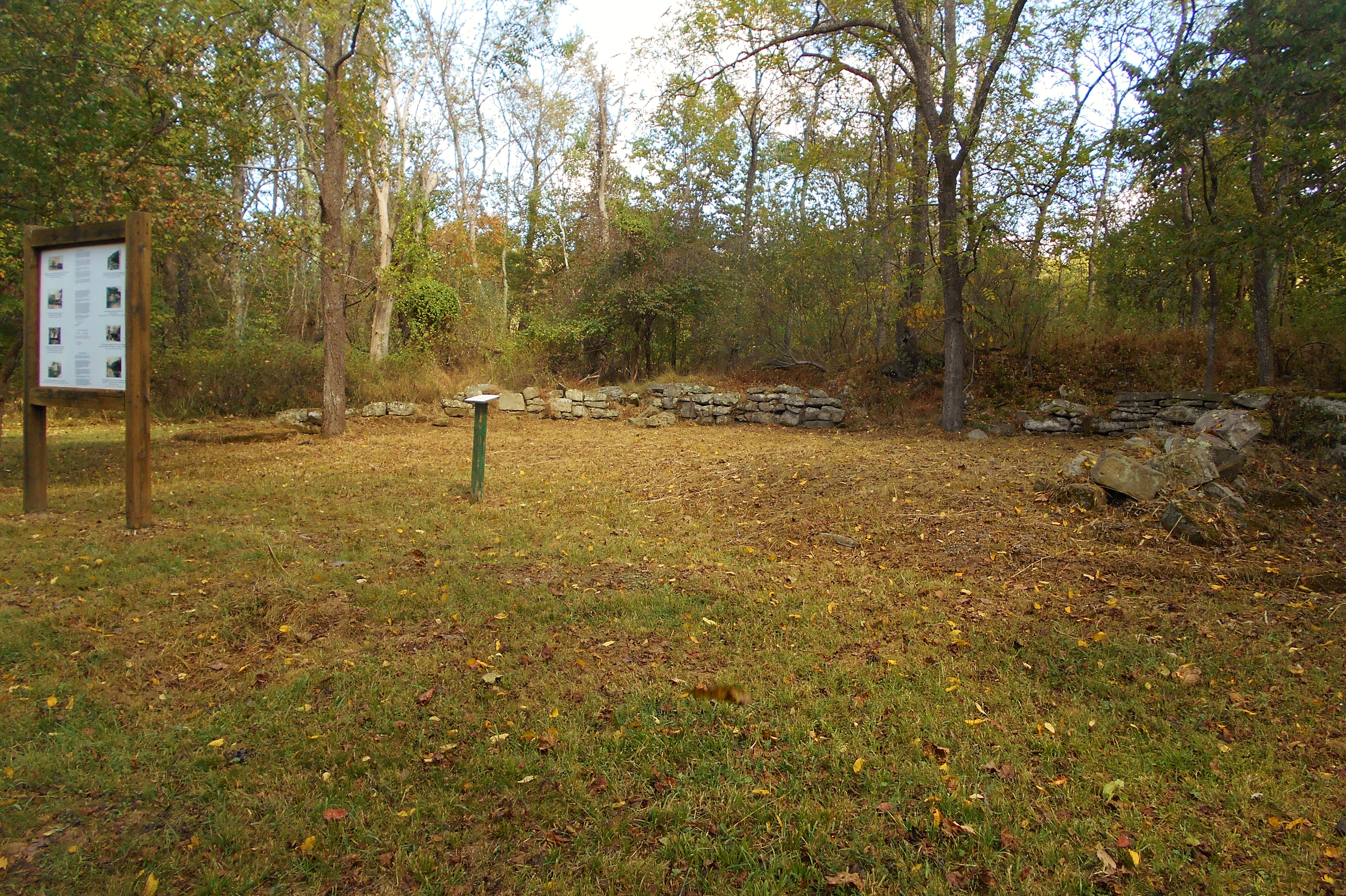
You'll
find remnants of the gardener's and the caretaker's residences too, along with
some nice photo exhibits. One of them is related to the old railroad.
Then, when you see a sign for a connector trail called the Four Corners Shortcut
you'll take a right and eventually end the Mansion Trail where you see a sign
for Hunter's Roost. Continue straight on this .5 mile trail and when you
reach the next intersection you might get a deja vu type experience. You
were here earlier, and at this point you'll have completed the loop portion of
today's hike. From here you'll essentially be retracing your steps via the
Powerline, White Oak Ridge and Gary's Grind trails.
Am I the only one who loses memory at the end of a hiking or paddling trip?
It's seems as though I get complete sensory fatigue which makes me incredibly
forgetful - something that's not at all good at the end of a long trip. To
wit, I really had to think about which way to go when I got to the last
intersection on Gary's Grind - the one at the bottom of hill that either
continues Gary's Grind (to the left) or beings Little Gnarly to the right.
Take the left if you want to go back to your car. :)
DIRECTIONS:
The park is located off of West Virginia Route 50 just East of the community of
Deerwalk. If you simply type "Mountwood Park" into Google maps it'll come
up - must be the only park with such a name in the U.S.