Mountwood Park
Northern Section Loop:
Copperhead Trail/Trip to the Moon/Savannah Around the Moon/Little Gnarly/Dark Side of the Moon/Apollo 13/Quick Out/Streamside Stroll
October 2019
Located about 20 minutes East of Parkersburg, West Virginia and about an hour West of Clarksburg, there are 24 hiking/mountain biking trails in Mountwood Park. This photo-journal describes a 9 mile hike in the Northern section but I'll also point out some shorter loops which include a 1+ miler and a 3 miler.
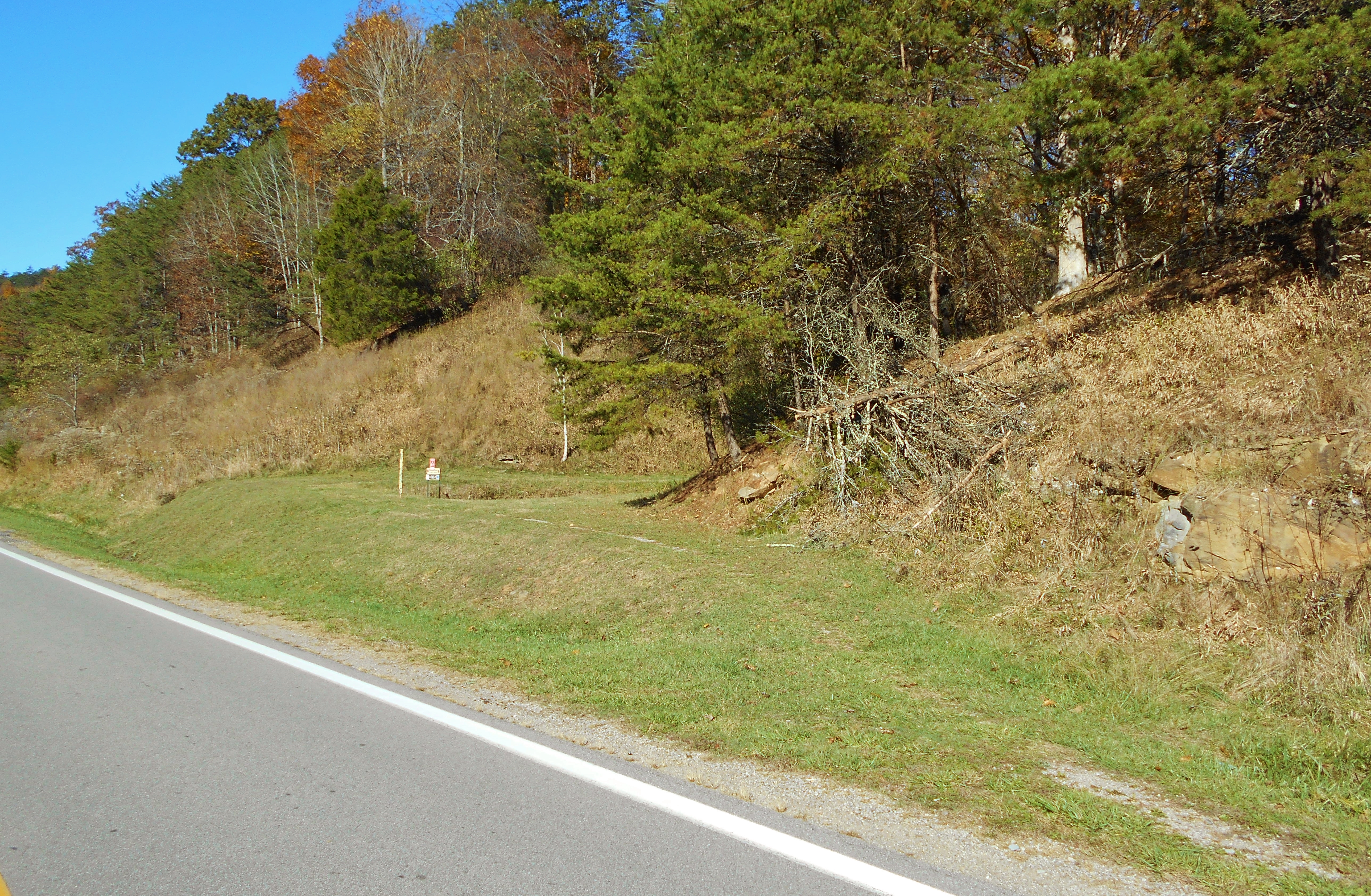
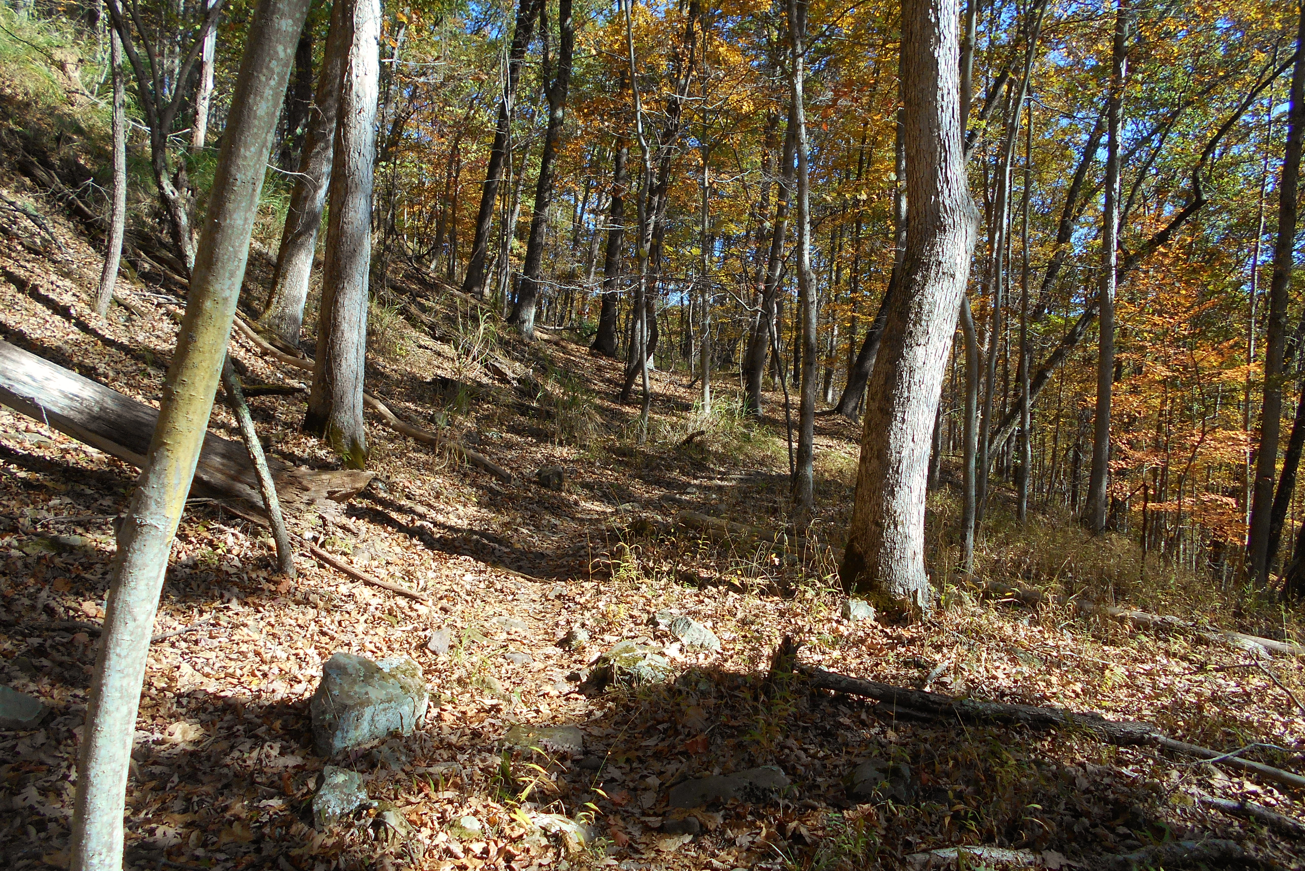
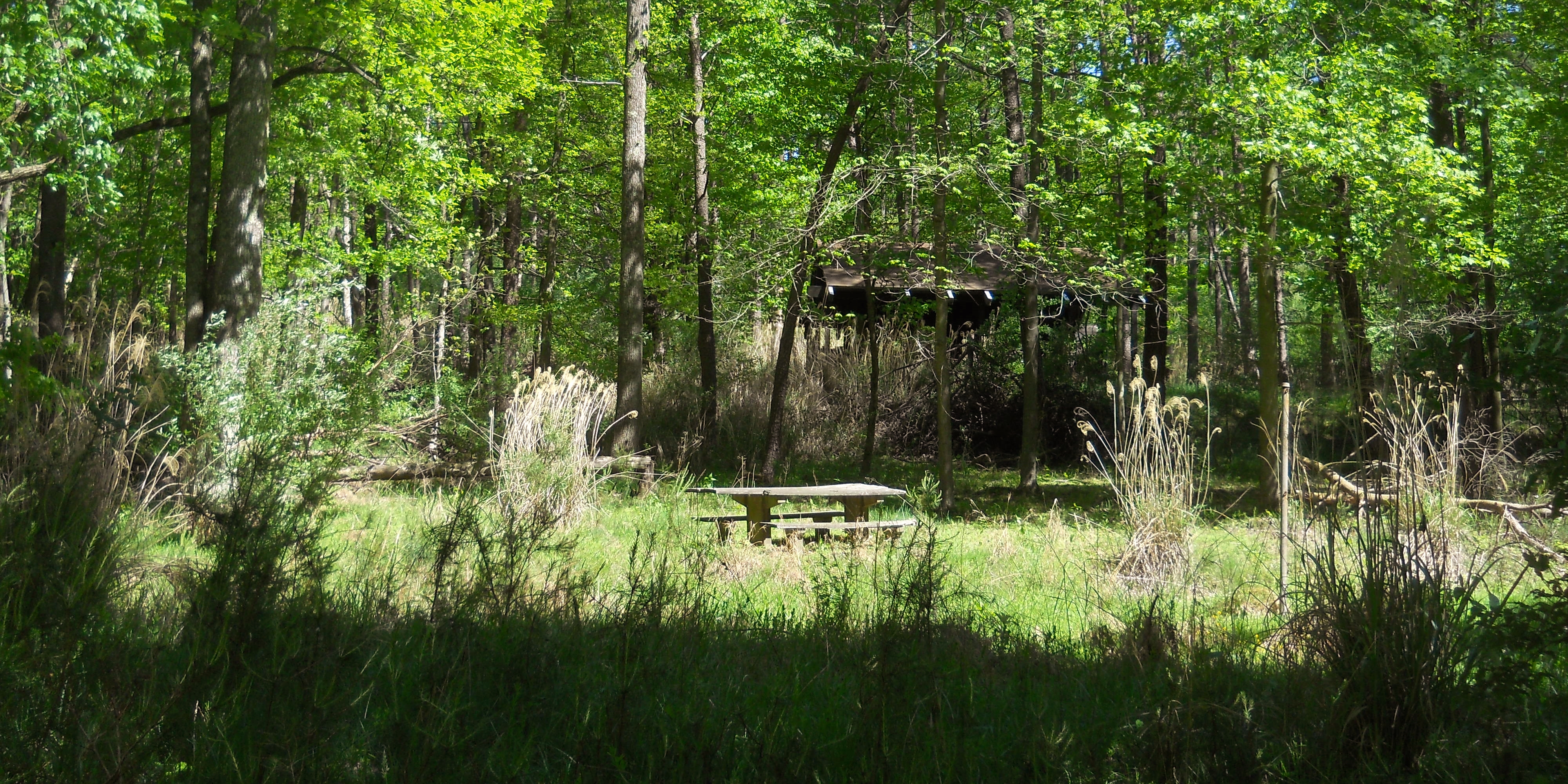
Today I parked where the boat docks and boat ramp are. You'll see them alongside the lake on your right after you make the second right turn into a fairly large parking lot. Then, if you're looking out upon the lake from the boat ramp, you'll see the Copperhead Trail on your right at about 2 to 3 o'clock on the dial. Carefully walk across the road to begin the trail which angles up to the right. It'll look like this (beautiful in either Fall or Spring)...
Copperhead Trail runs 1.1 miles and it'll take you up through some ridgelines before descending back down again. I'd find this Northern section of the park to be more striated than the others. What I mean by that is that the hills seemed to be more etched from water drainage. Instead of single, defined streams they seemed to be much more branched out.
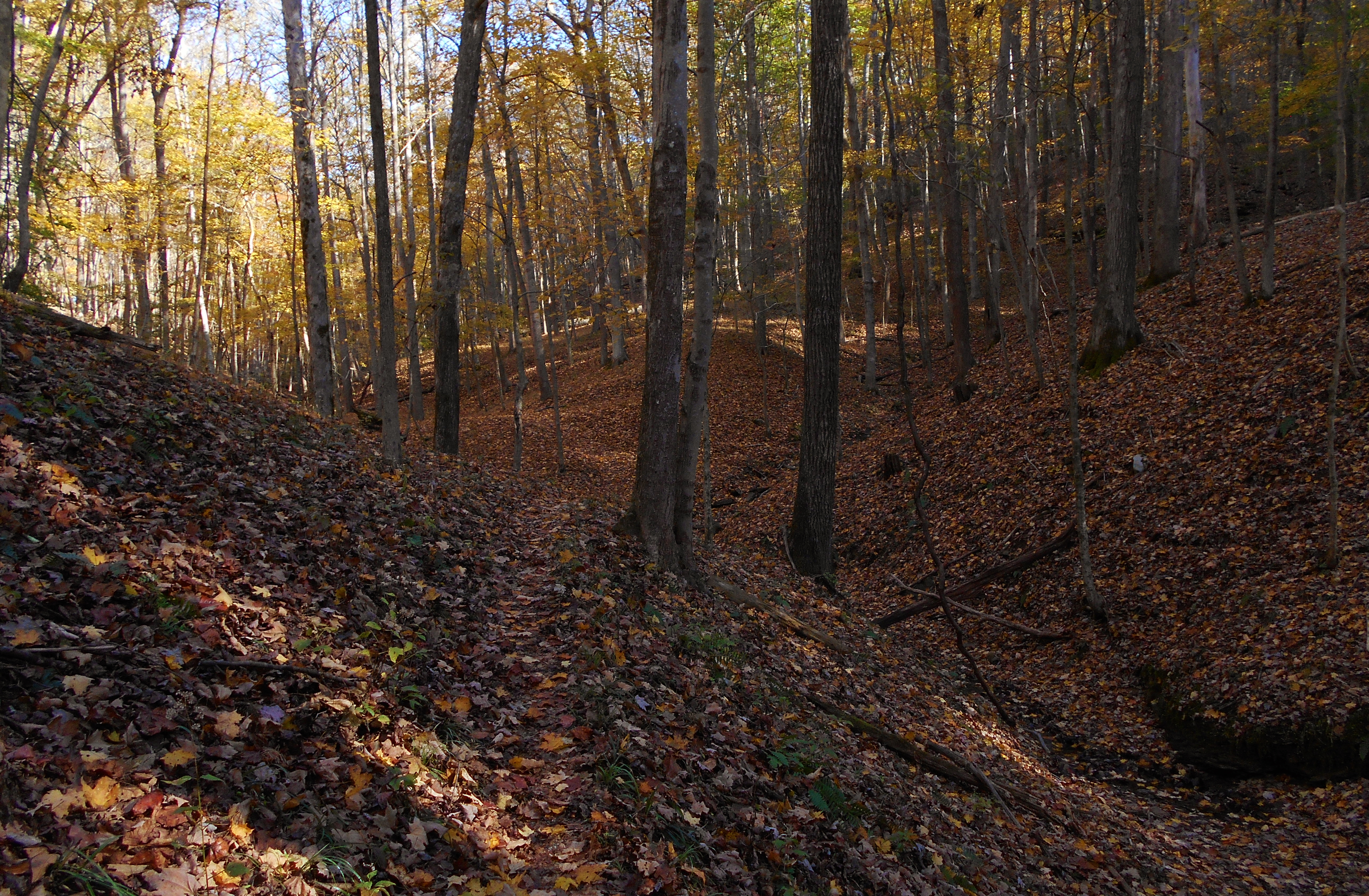
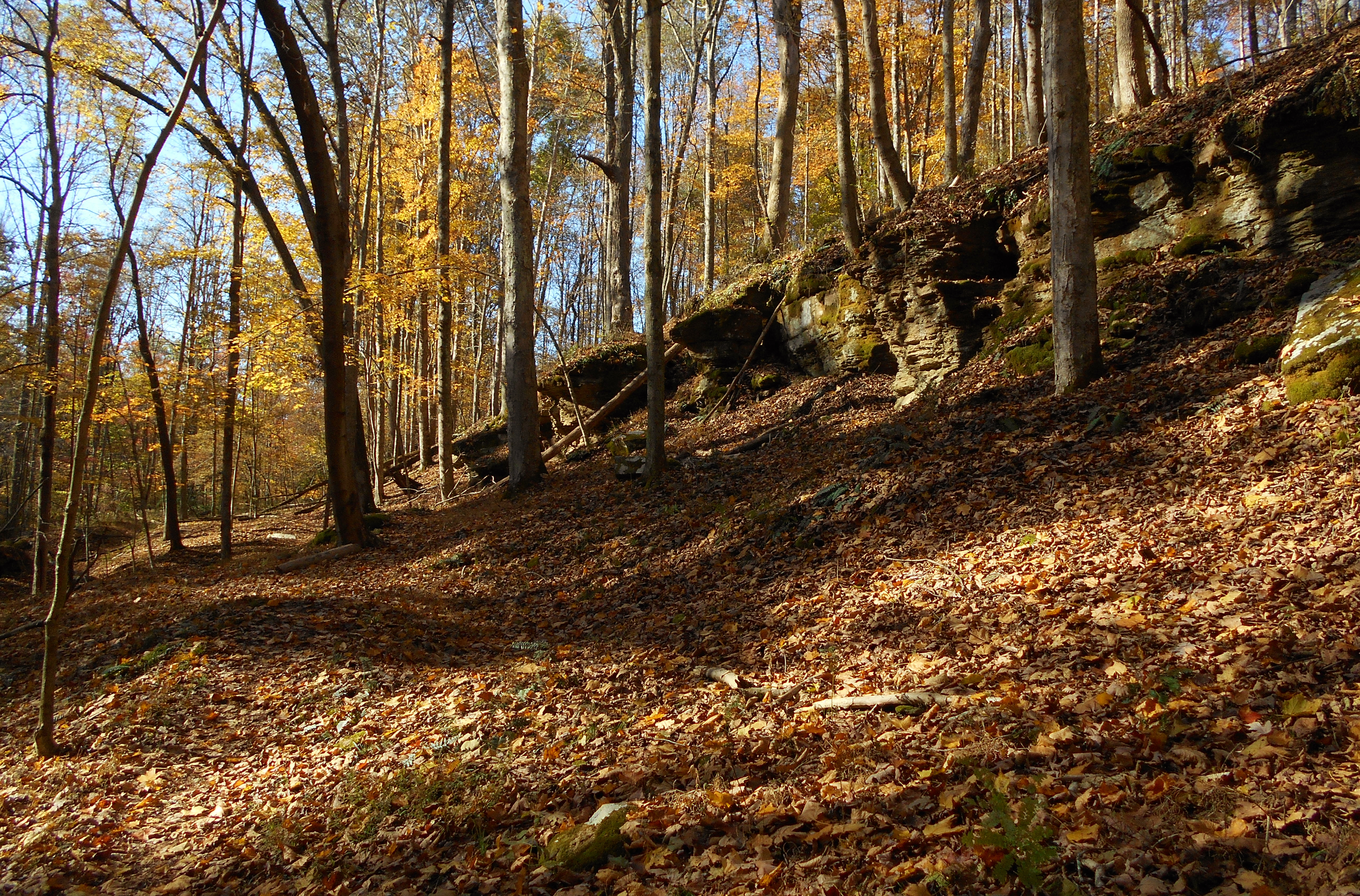
I also noticed something else that I'd not noticed before. There were an absolute ton of those little brown and white striped mice out today and I finally was able to associate them with a sound. They sound like birds! I'd always thought I was hearing birds but now I'll know it to be these mice. There's a nice rock outcrop in this first section...
The first trail intersection is one at which you'll want to take a right. If you go straight you'll meet up with the park road where you can hook up with the Tecumseh and Medicine Man trails across the lake. I've described these in a photo-journal of the Western side of the park if interested. At the second intersection (which you'll reach after winding back into a stream and out again) you can go right to complete the Copperhead loop and return to your car or you can continue on a path called Trip to the Moon. The first option will give you a hike of a little over a mile while the second will begin you on the second leg of this trip on a 2.1 mile path.
Trip to the Moon generally follows near the park road, but it leads you up along some more ridgelines and into some more streambeds along the way. There's one point near the end at which you can take a right onto a trail called Bail Out. This one leads down to the road, at which point you'll be nearly across from the park office. You can then take a right to return to your car. This would be about a 3+ mile loop in my estimation. Below are some scenes from Trip to the Moon.
Trip to the Moon will end at the base of a hill. Here you can go to the left on the Savannah Around the Moon Trail to continue. I'll have you coming back (sort of) along the trail to the left, Apollo 13, but you won't come all the way back to this particular point. Have you noticed that there are a lot of moon references in this Northern section? What is the moon within the context of this park? You're about to find out!
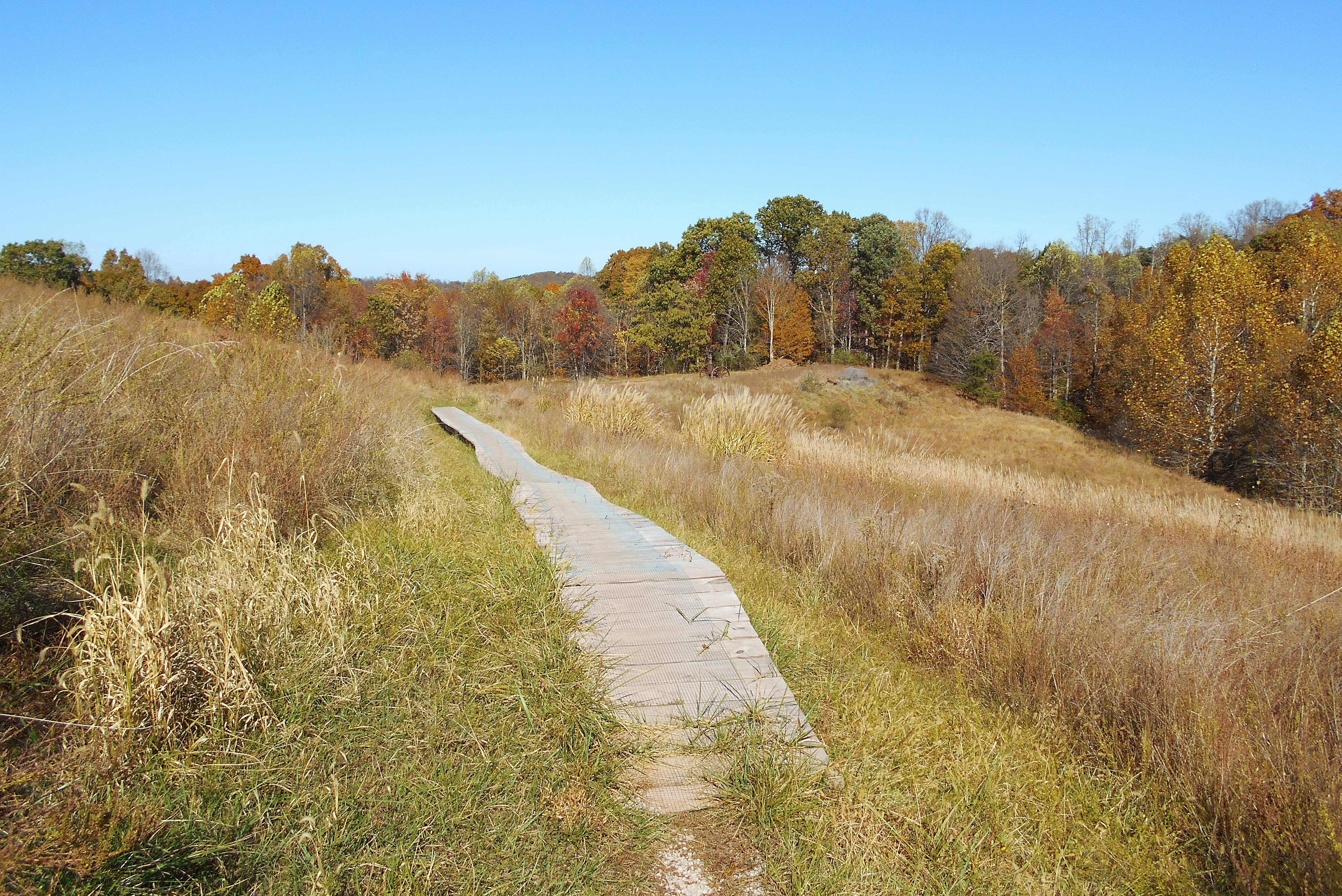
Savannah begins with a fairly steep climb along some switchbacks as you begin flirting with the top of a hill. You'll soon spot some grassy areas up and to your right as you gradually ascend higher and higher toward them along a long right curve. What you'll eventually meet up with is the cleared out, grassy area you see below. That little wooden bridge ahead of you in the first photo is for the bikes, believe it or not. Mountwood is an extremely popular park for mountain biking.
There are some trail intersections to keep in mind in this section as well. Keep to the left at the first. I don't where the right goes. At the second junction I took a right in the more clearly defined direction. At the third I also went in the more clearly defined direction - left. Ultimately, you should spot the bridge in the picture below along with what look like some old farm remnants. There's a barn back to your left.
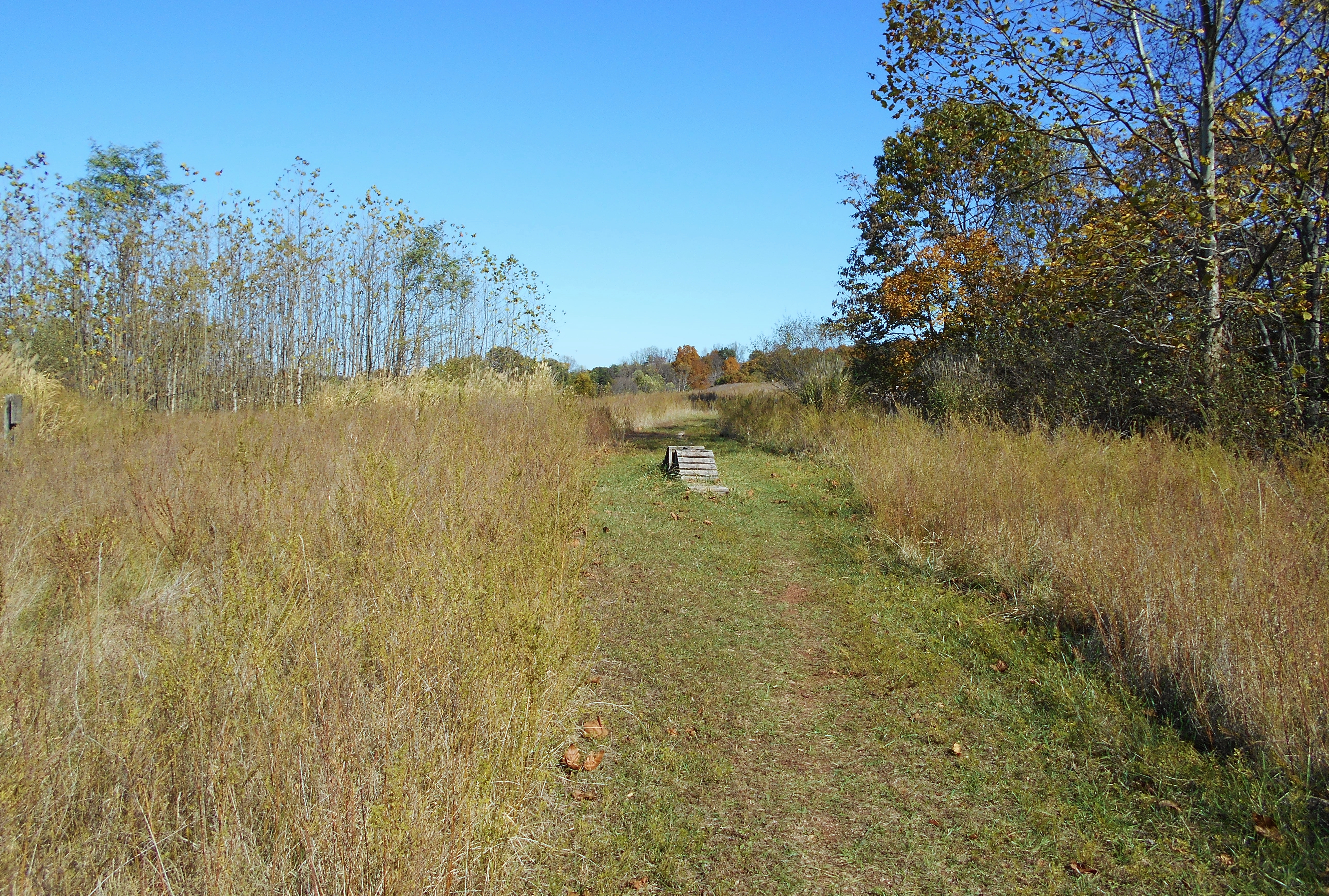
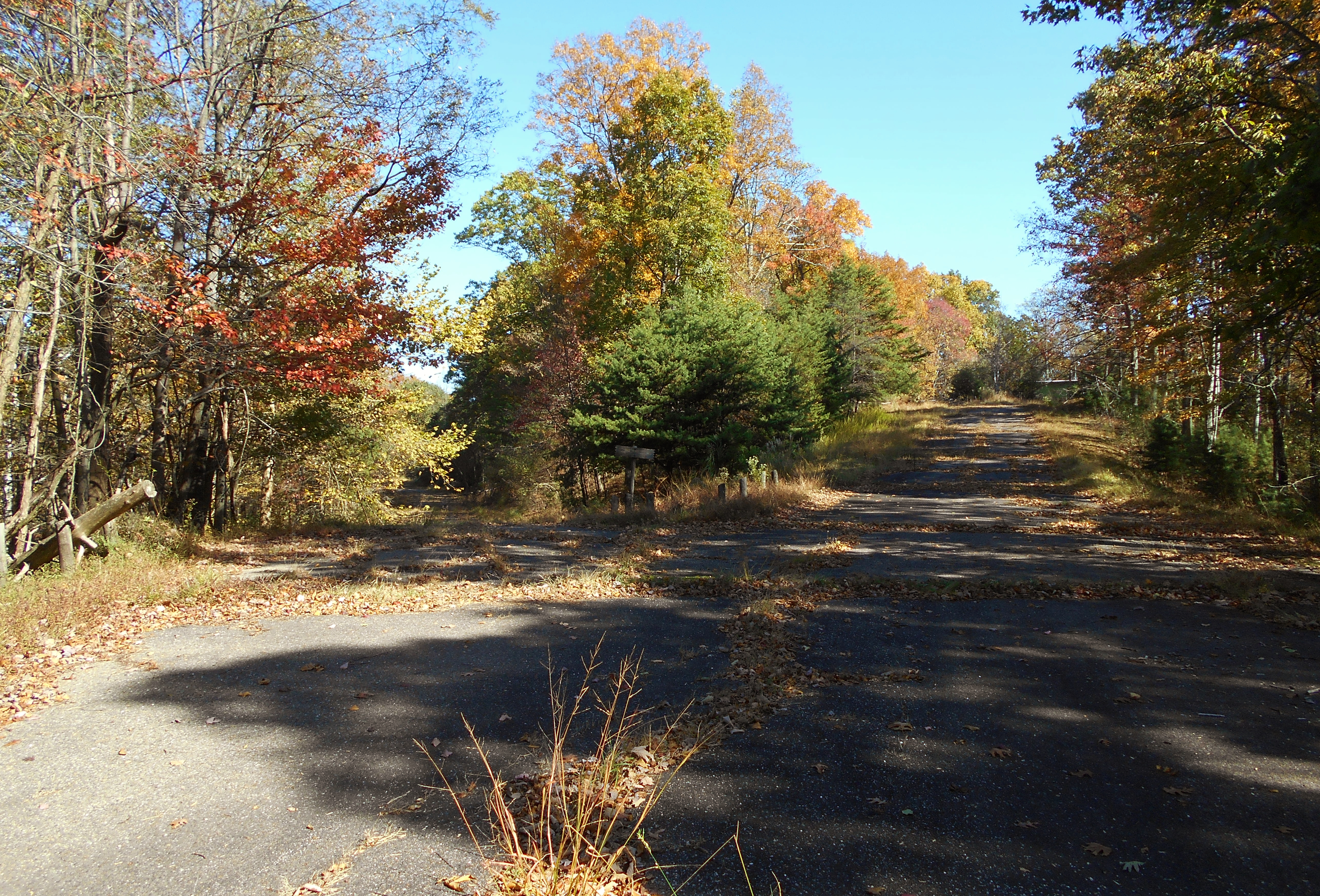
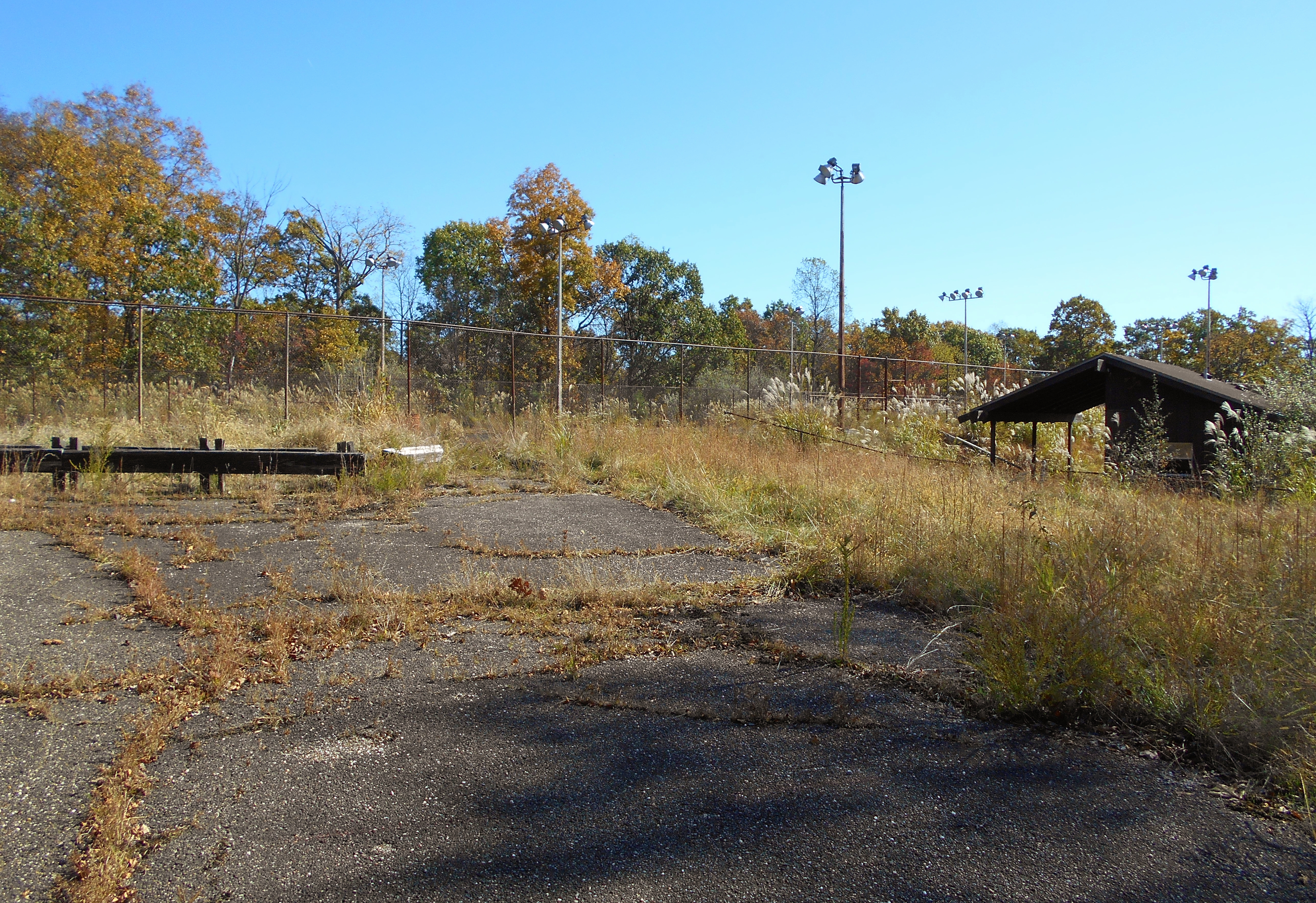
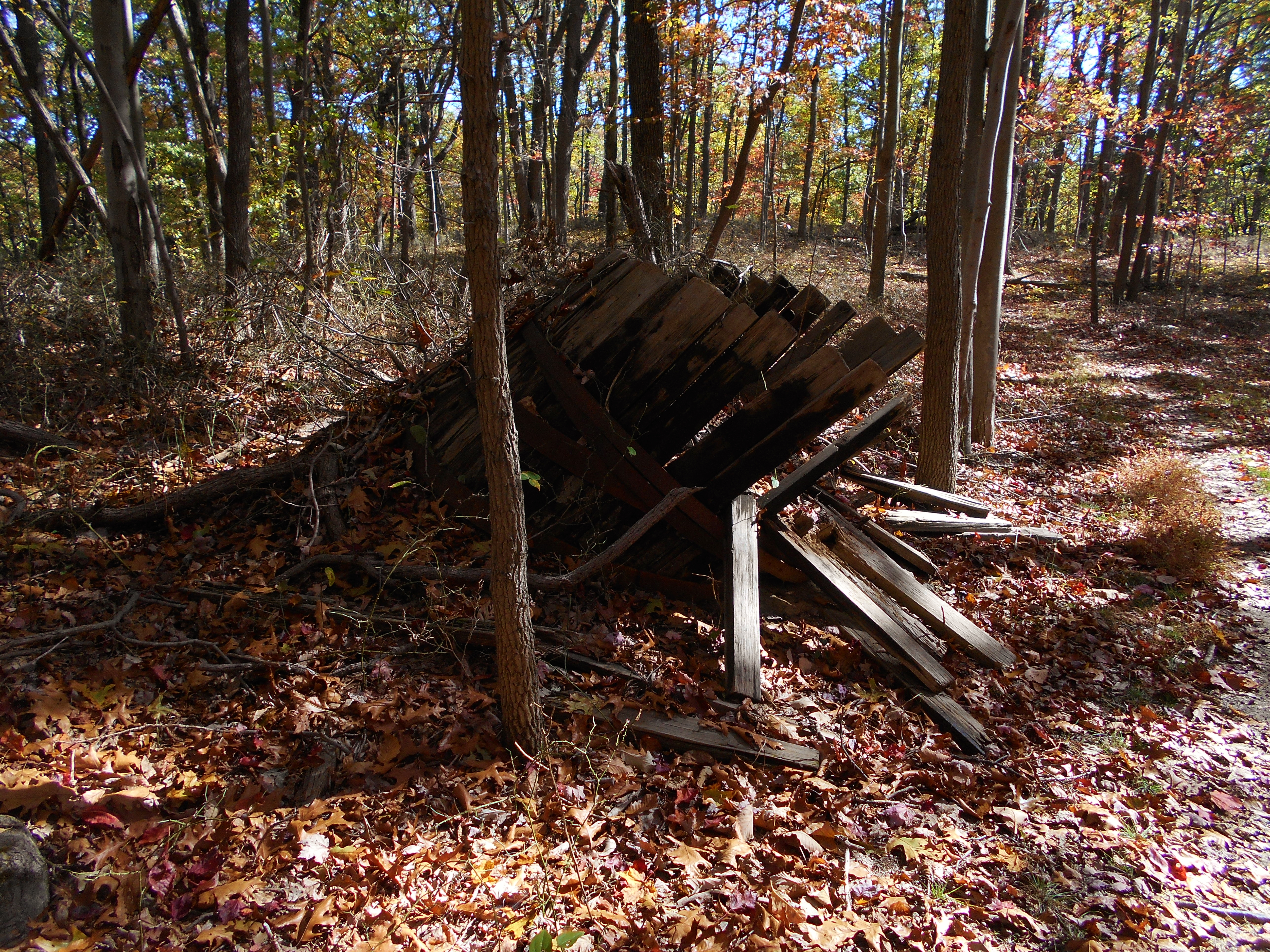
After this the trail will have you veering to the right to begin an exploration of the moon. The moon is an entire section of the park that's been completely abandoned! Tennis courts, baseball fields, shelters, dozens of very well made park benches and even a concession stand! All are abandoned here in the woods to let nature take them back. I'd never seen anything like this before. In fact, when I first saw all this I was profoundly saddened. Perhaps they'd prepared for more visitors than they turned out to have?
Near the picnic shelter above you'll find yet another trail intersection. Here you can go straight to arrive on Game Road to check out some of the other "ruins", or you can continue left onto the Sand Hill Trail which is also a continuation of Savannah Around the Moon. I opted to explore both directions. I just had to check it out the old, abandoned road! The wooden sign you see in the center of this next photo indicates "One Way" but I don't think they'll need to remind people anymore!
The old tennis courts and concession stand are up the road to you right...
From here I retraced my steps back to the trail and continued on Sand Hill/Savannah to complete the trip all the way around this hill they call "the moon". You'll pass by the old baseball fields along the way (and you can see the chain link fence above you at one point). These Northern paths are all very pleasant woodsy strolls to take. If you have issues in your life to sort out (and who doesn't?) this section would be a great place to do so with it's long, wooded walks. Tecumseh and Medicine Man in the Western section are the same way.
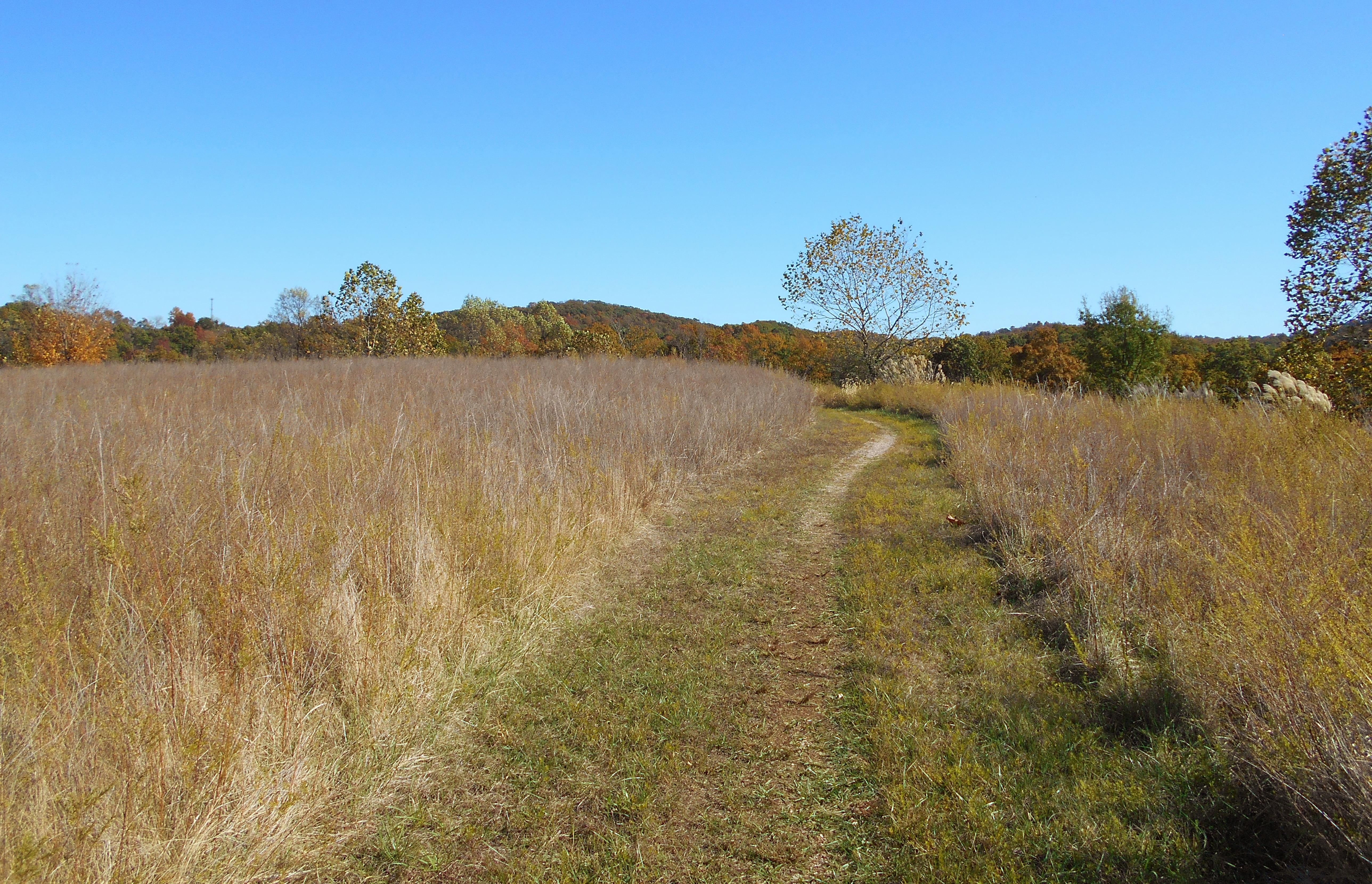
Savannah Around the Moon ends at a series of signs. Sand Hill Trail (a new one in 2019, at least from this point on) continues at 10 o'clock. It indicated that it would link up with the Little Gnarly Trail in about a mile. Little Gnarly is here too, however. It's got a trailhead at 11 o'clock. Then at 1 o'clock you'll see a low lying, wooden bridge leading downhill. It will immediately deposit you at some more trail junctions if you follow it, one of which will put you on the abandoned Game Road. If you wanted you could follow this road downhill all the way back to the main park road. Then you could follow that to the right all the way back to your car to make for about a 6 mile hike.
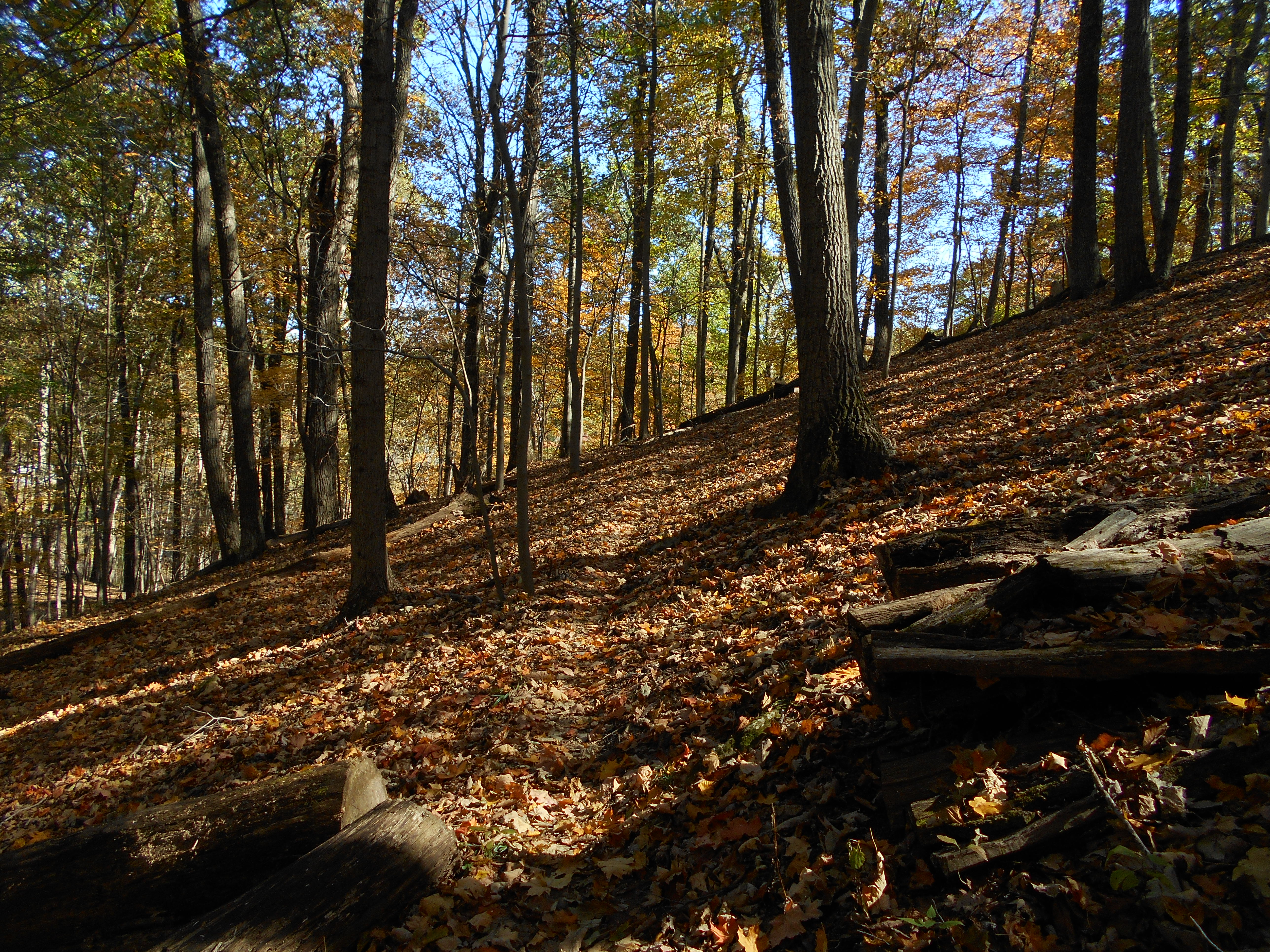
Anyway, I'll have you coming out down at those other junctions later, but what I did now was to continue on Little Gnarly to start a 2.5 mile circle on a Little Gnarly/Dark Side of the Moon trail combination. Little Gnarly was a little challenging to follow at first with all the fallen foliage. For a time I found myself making special note of every fallen tree in the distance in order to verify my chosen path. If any such trees had been cut to make room for the trail I knew I was good. At any rate, I found myself at times travelling down very old roadbed clearings as well as trails. You'll want to be very watchful along the sides when you're on the roads, however. There are spots where the trail subtly veers off and it's not marked. I headed to the right at one point and later to the left.
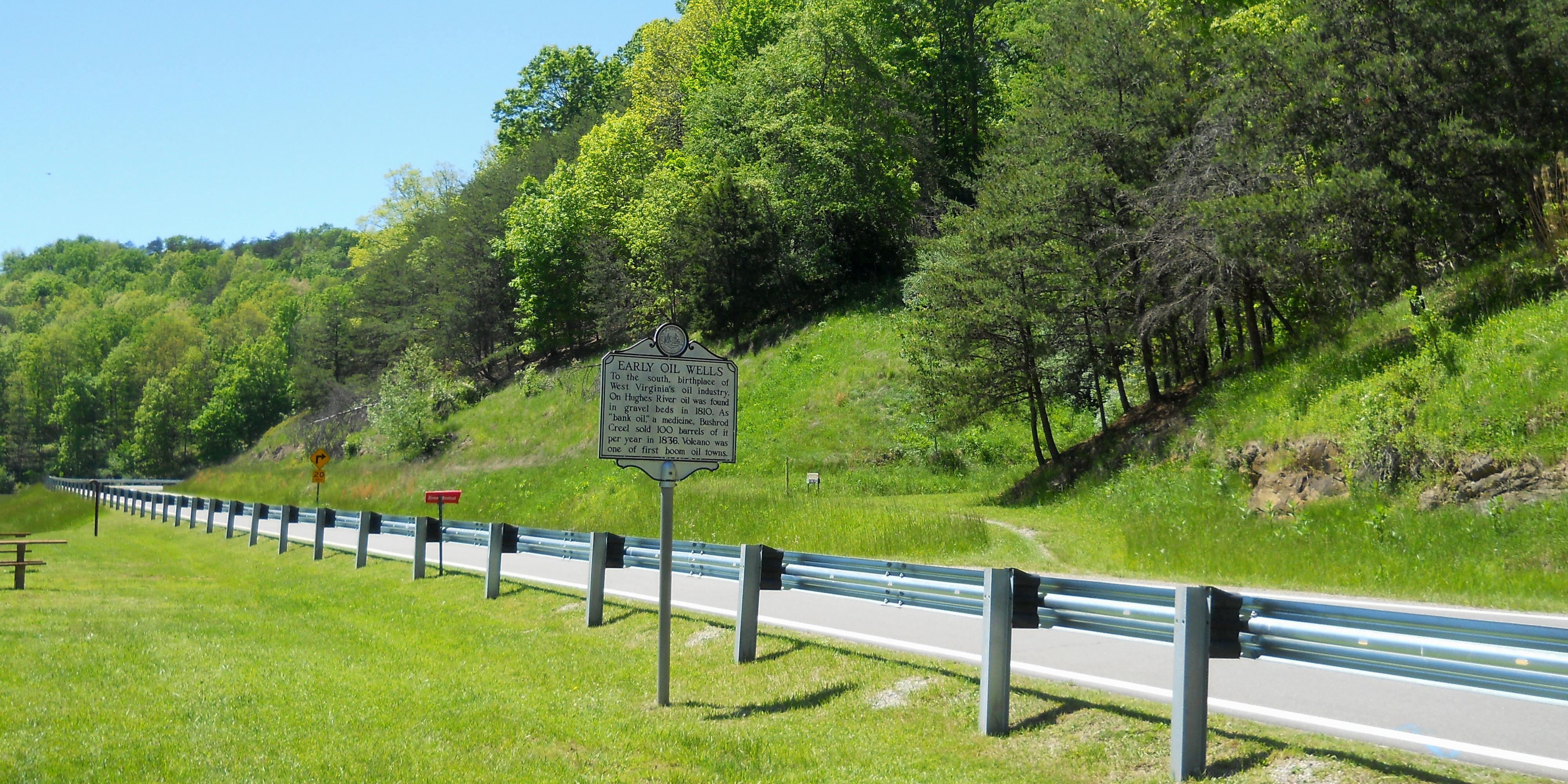
Shortly you may start seeing some oil industry remnants like the one in the picture below. You're essentially in the Eastern section of the park now, where there used to be an old community called Volcano, West Virginia. The town was spawned by the oil industry and it was the home of the Volcano Coal and Oil Company. Sadly, when the industry went into decline so did the town. There's nothing here anymore besides these old remnants and the ruins of the business owner's old mansion which you can see on a hike of the Southeast side of the park.
x
Your next trail junction has you at Gary's Grind. This is where I began my journal of the Southeastern side which is described in another journal, but today I proceeded straight ahead on Dark Side of the Moon. You'd think a Pink Floyd song would have been in my head here, but I had Ozzy Osborne's "Bark at the Moon" instead. I don't know - I get in a kooky mood as I start to tire out. :) Dark Side is 1.3 miles long path and in this first section you'll wind along one of the lakes main tributaries, Mudlick Run. This is a pretty section that will have you crossing over some nice wooden bridges.
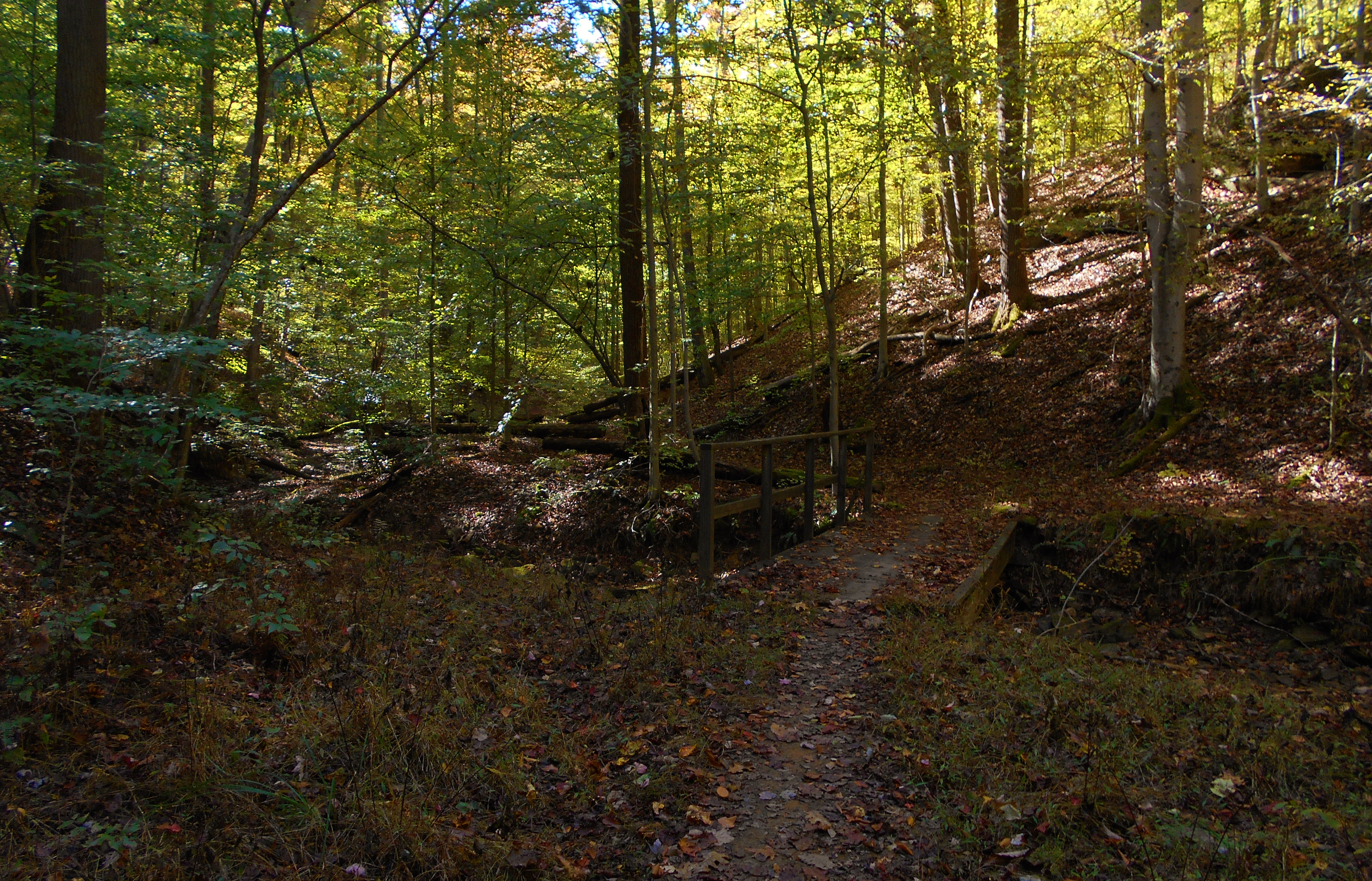
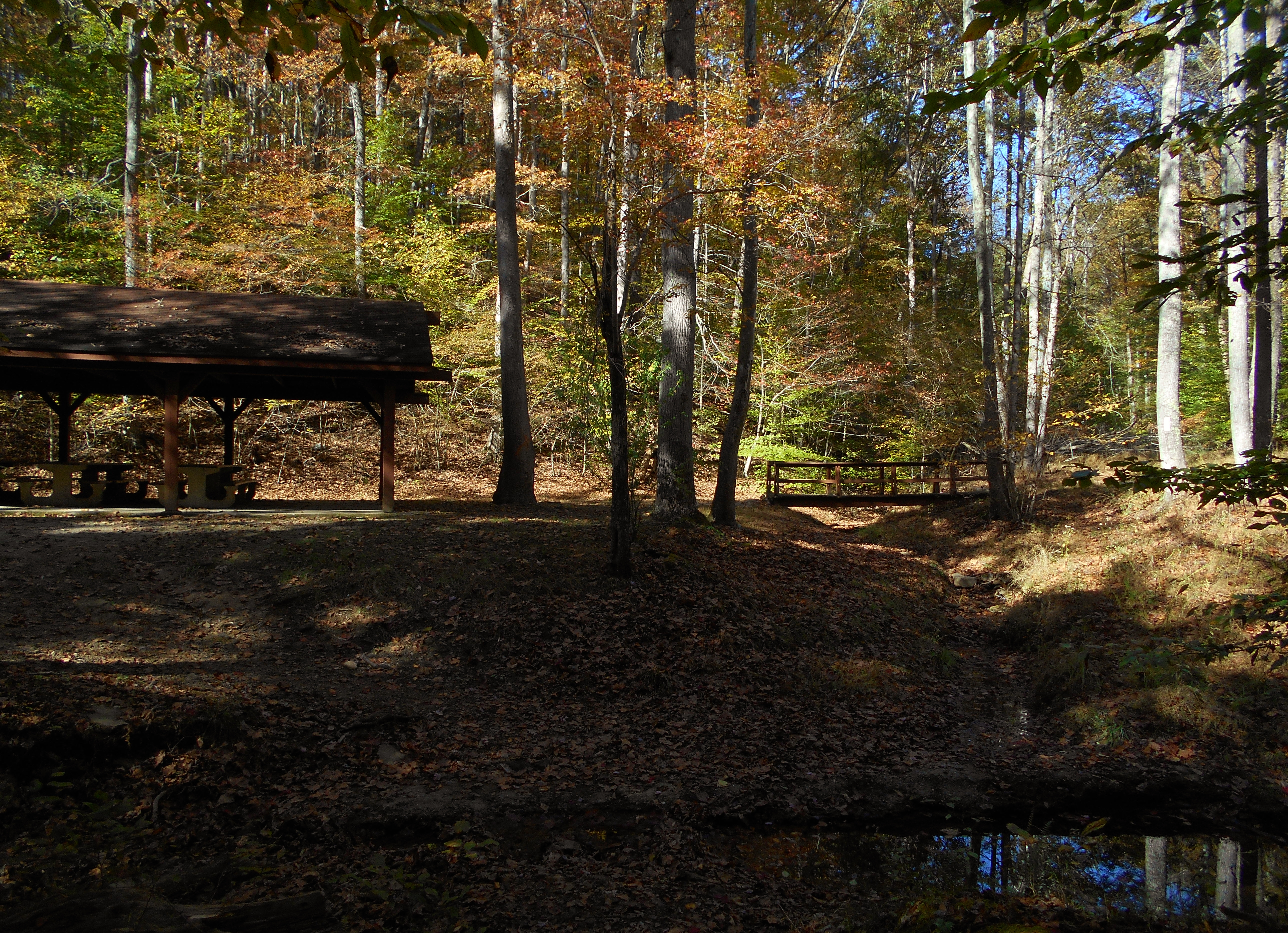
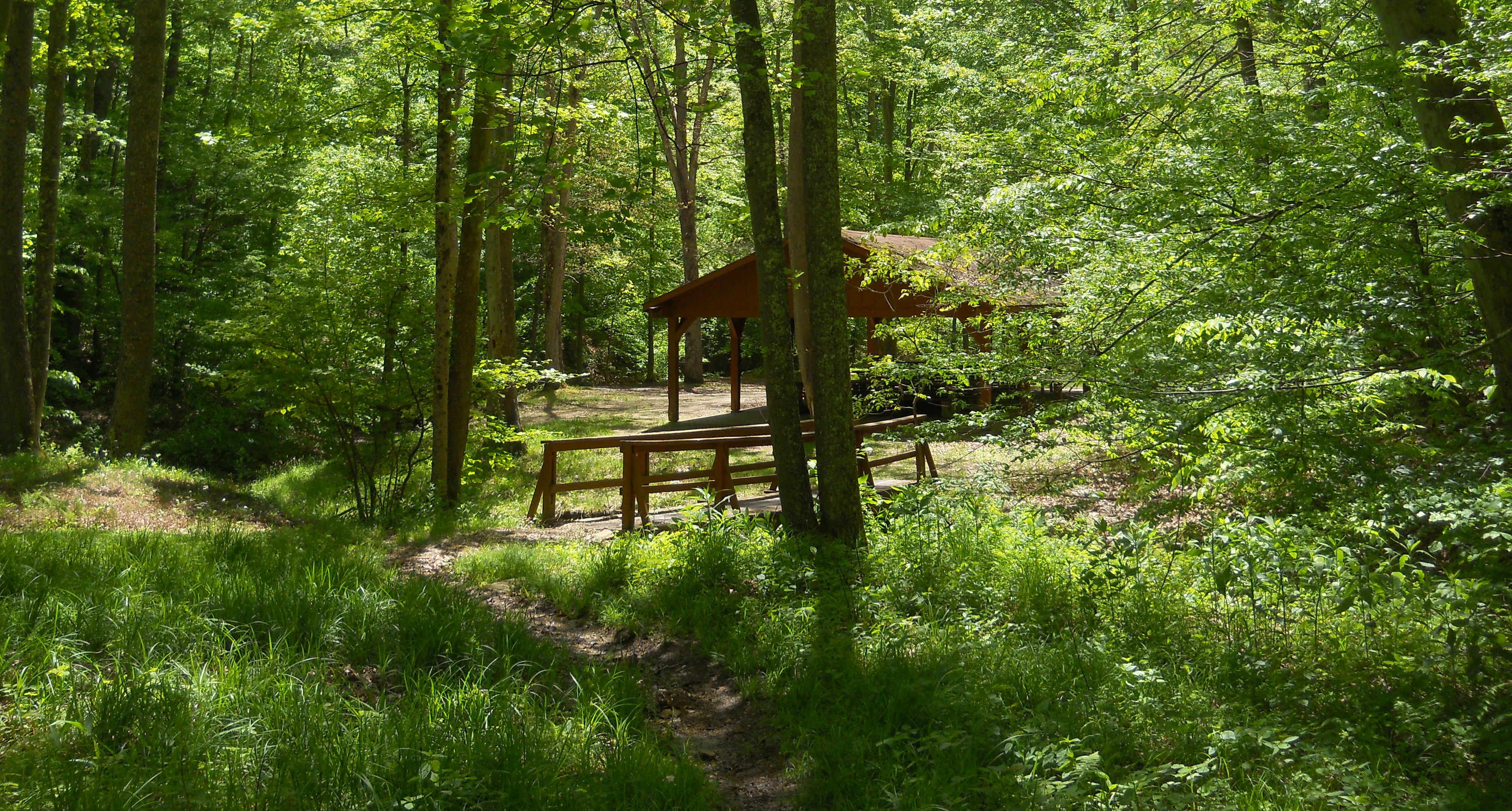
You'll soon reach a picnic shelter where you'll notice another bridge to the right. You'll want to cross it to continue. This is a particularly beautiful area in the Spring...
The next section is very similar to the start of Little Gnarly in that you'll be traversing both path and very old roadbeds at various times. You'll thus want to be very careful in the fall when the leaves are on the ground because it's not always easy to distinguish the two. Later, however, it'll become more defined when you reach higher terrain. From there you'll be winding up and down ridgelines and in and out of hollows until you reach the end where you'll see the road almost right beside you. Go to it and follow it downhill. Your next path, Apollo 13 is down there. The road will seem to narrow, and then narrow again. Then you'll see the trail on your right. I've always found it to be very well defined.
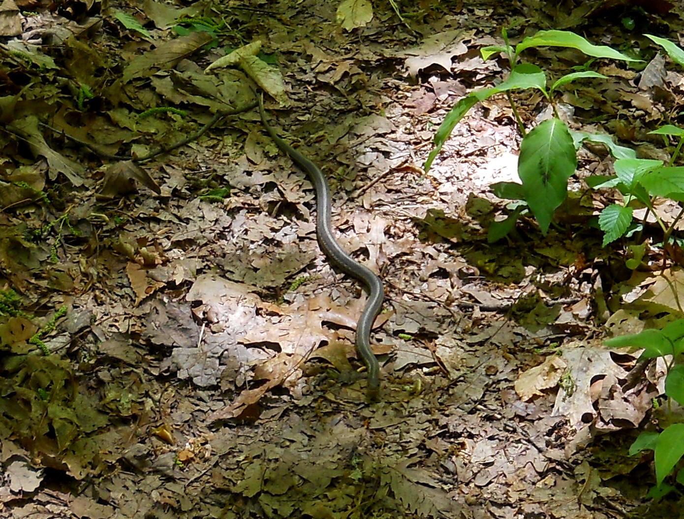
Apollo 13 is .7 miles and it'll have you ascending up, and then back down a hollow at which time you'll be very close to the main park road again. I saw a little snake in here the past Spring.
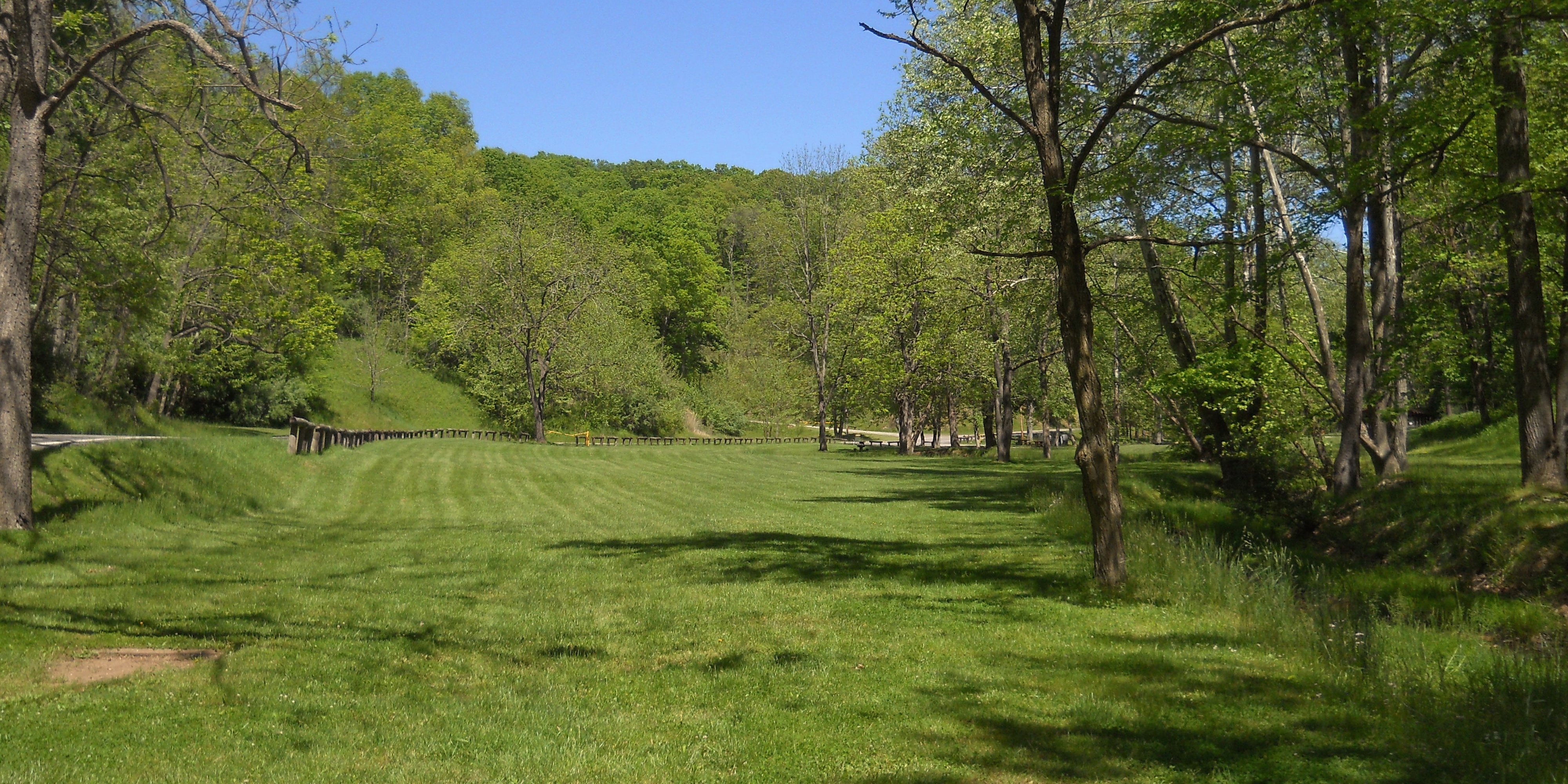
Shortly you'll come to a trail called Quick Out and you'll take this for a final ridgeline tour before arriving at the park road. You can turn right to go back to your car once you reach the road, either following alongside it or along the stream (the aforementioned Mudlick Run). I generally opt for the latter. I don't trust anyone with a steering wheel. Besides, it's nicer along the stream. There are some more pretty bridges crossing it and it makes for a nice stroll in and of itself. You'll also pass right by the park office. Note that the photo below was taken looking back in the direction I'd gone. You want to head in the other direction to get to your car.
DIRECTIONS:
The park is located off of West Virginia Route 50 just East of the community of Deerwalk. If you simply type "Mountwood Park" into Google maps it'll come up - must be the only park with such a name in the U.S.