Gibson Gap
April 2011
Before I begin this one I’ve
got to remark about the significance of this park in terms of both history and
geography because I don’t think either can be overstated. In fact, I think every American should try to see
this area at some point
in their lifetime.
History
This
was originally the meeting point of two major wildlife migratory paths.
They met and then ascended up and over the gap in the
Geography
If you’ve ever wondered why the boundaries of
Kentucky, Virginia and Tennessee look so jagged on a map as they come together
it’s because of the mountains that define this area. Their ridges converge like
shards of broken glass to give the states their borders.
Given all this I don't think you're really just hiking
out here. I think you're literally walking in the footsteps of history
and if you dwell on this –
even for a little while – you’re apt to be left with a profound impression.
This hike begins in
I wouldn’t enter into this
hike lightly. In fact, I’d file it under strenuous overall.
Not only is it 10 miles in length, but the trek up the mountain is a 1 ½ mile
ascent with almost no let-up until you reach a point of roughly 2500 feet in
elevation. It took me 7 hours to complete this one.
Anyway, I began the day by
parking just before the Wilderness Road Campground entrance in
one of several spaces that they have paved by side of the road. I then
started on my way as per Michael Browns’ Falcon Guide on Kentucky Trails.
This is a personal favorite book that I’ve carried with me many times. What you’ll want to do here
is follow the campground road to your left and then pass the first trail turnoff which comes up on the left.
This is actually where you’ll come out at the end of the day.
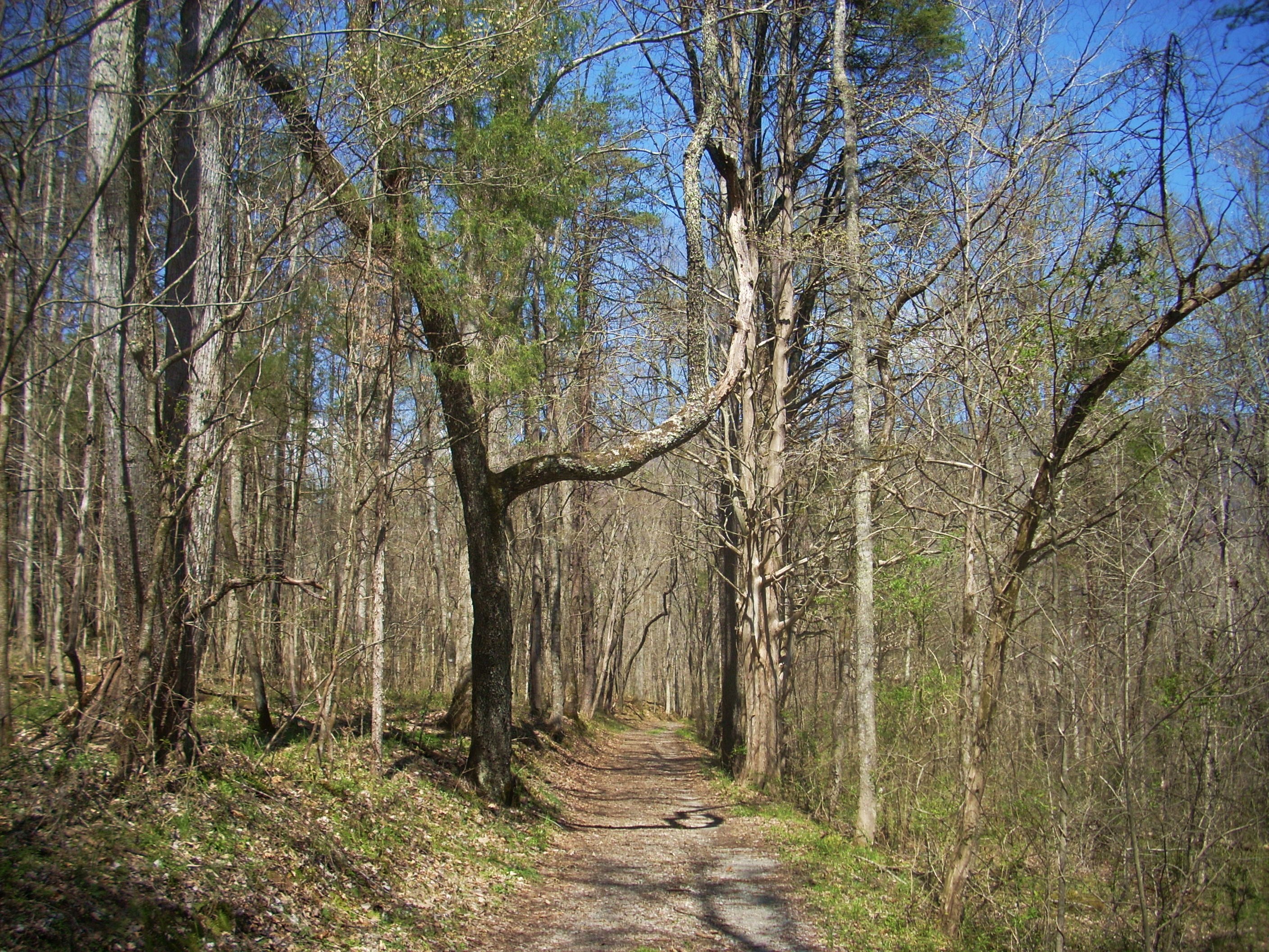
A second trail will soon come up (again on your left) and thissis the one you want. It leads you down a gravel road into the woods. Keep left at each split from this point and you’ll eventually pass by what looks like a farm on the right. Notice how the road becomes less and less gravel and more dirt the further you go!is the one you want. It leads you down a gravel road into the woods. Keep left at each split from this point and you’ll eventually pass by what looks like a farm on the right. Notice how the road becomes less and less gravel and more dirt the further you go!
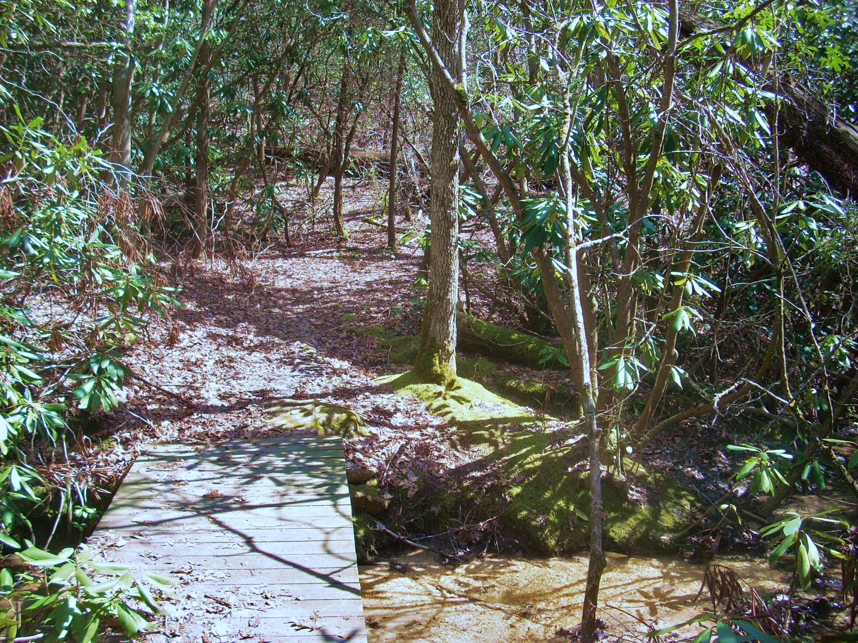
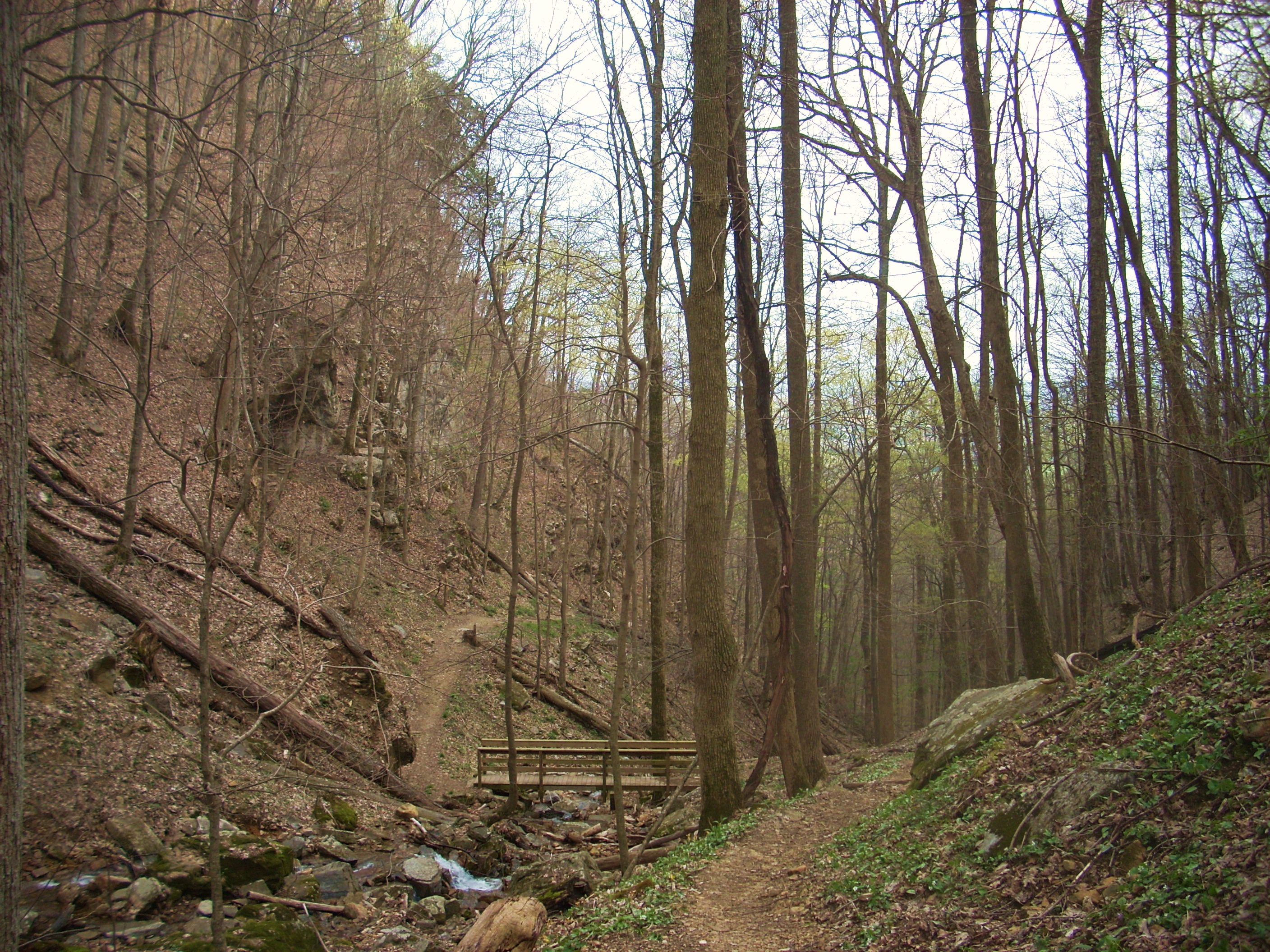
Then, when you reach a point where there’s a trickling creek right beside you and it looks like two roads (ancient-looking at this point) meet, you’ll make a right and cross over the stream. This is either Station Creek or a branch of it - it’s hard to tell - but what you’ll find is that this stream has more twists and tributaries than Quakers’ got oats! I may have made more stream crossings in the first few miles of this hike than I’ve made on any other.
A couple trail intersections will come up now, with the first having both Honey Tree Spur Trail and Green Leaf Trail indications. These, I found out later, are paths of a mile or less that meander around the general area of the campground. Green Leaf, in particular, looks like a great interpretive trail.
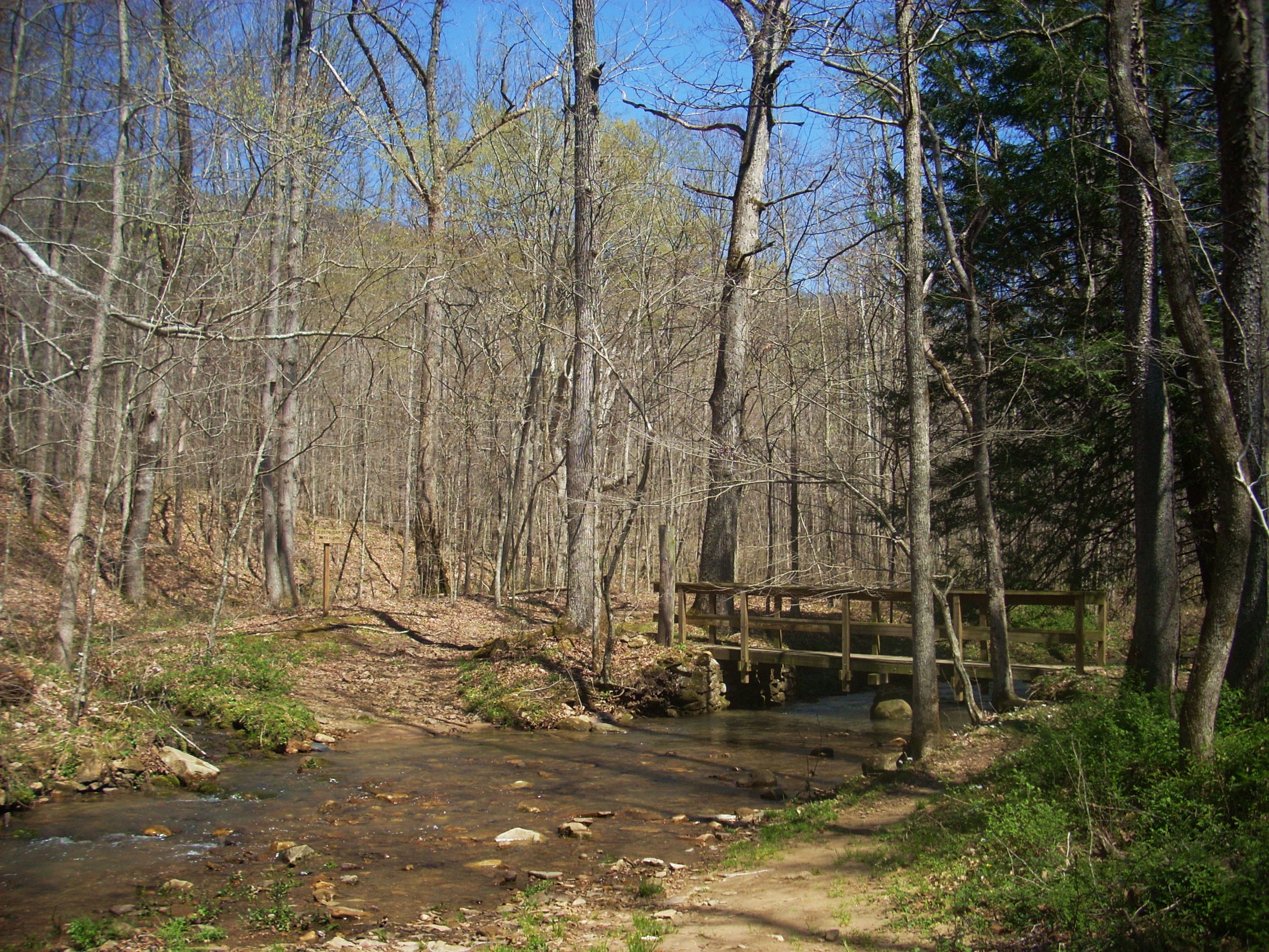
The second trail split comes
after you’ve made a cross to the northern side of the Station Creek: one
direction veers right and follows directly alongside the stream while another
heads straight. The latter is the recognized trail a It’s where you want
to go after signing in at the back-country box they’ve provided.
From here you’ll be led up the ridge on a fairly steep climb to arrive somewhere
around the low/mid level of
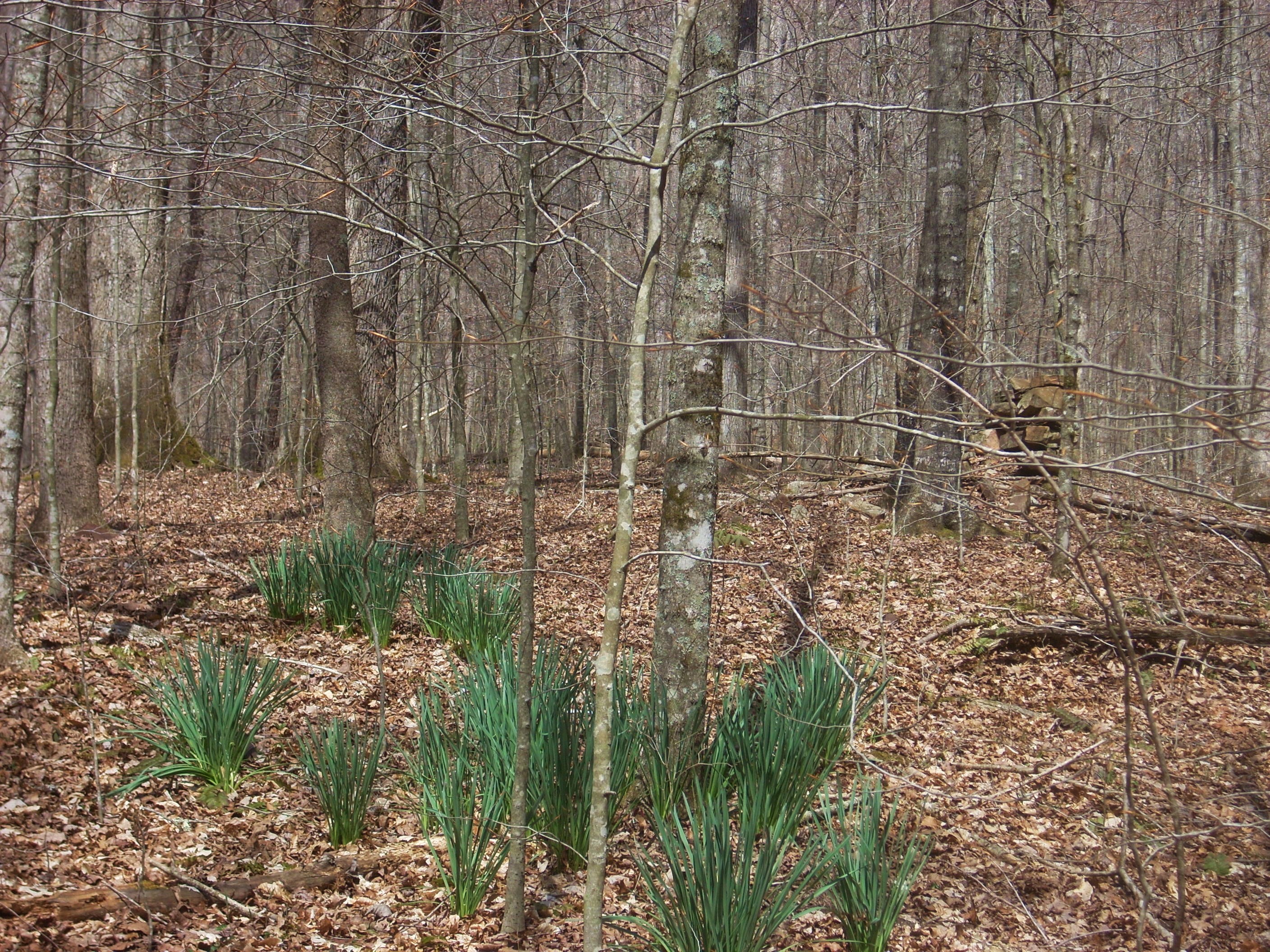
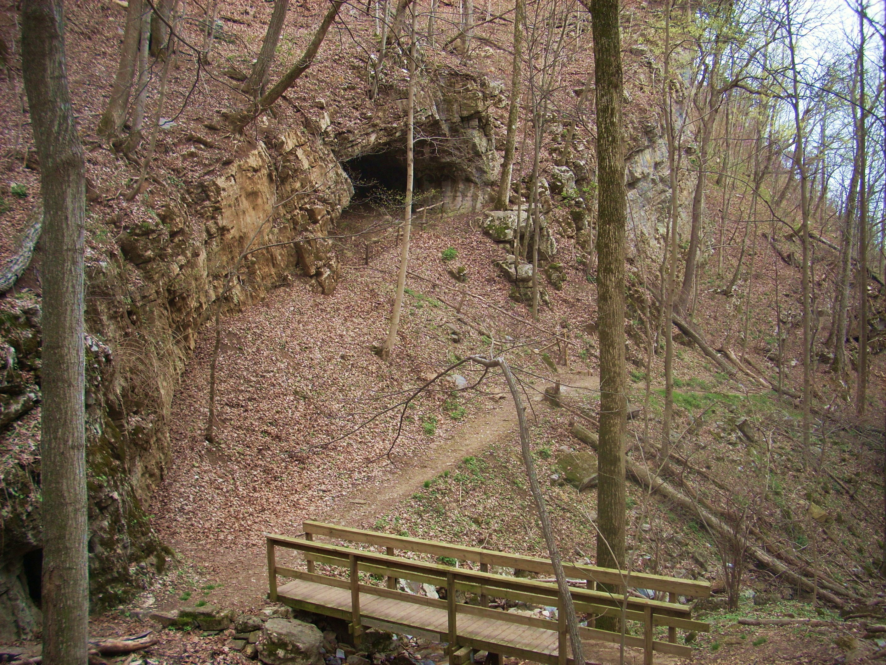
Once I'd emerged back down at the main branch of the creek, I remembered what Mr. Brown had mentioned in his book about jonquil plants and about the possibly of there having been a gardener here at some point. Of course, not being familiar with jonquils I had no idea of what to look for, but maybe I could somehow spot these along with what were described as some kind of building ruins?
I immediately turned around after forming this thought! Was it my subconscious that had clued me in that I’d just seen something incongruous? It must have been because I’d just passed up the very spot Mr Brown had mentioned! There, only about 10 yards off the path was a section of green “shoots”. They weren’t yet flowering, but they were different and I looked around for some sign of ruins…
Enjoy the rest of your walk in here, but you’ll want to be aware that you’re about to get some work in. :) At the next trail intersection a sign indicates that Gibson Gap is 1.4 miles away. Do you want to head back the way you came (you’ve come 3.5 miles at this point) or do you want to complete the loop with 6.5 more miles to go? There’s no shame in going back, of course – you’ll have made a 7 mile out-and-back hike even if you do retrace your steps.
However, if
you do decide to go on you’ll cut to the right as per the sign and
begin a 1.4 mile climb straight up
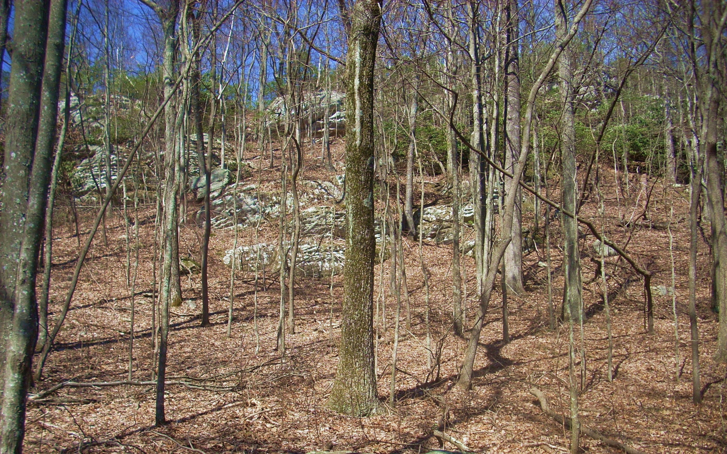
…and near that top you’ll see a garden of boulders up and to your right as you level out…
You'll then descend temporarily through a thicket of rhododendrons and cross a little stream. This area seemed like an oasis to me today - not only because it was a break in the climb but because I’d seen very little green in the midst of the ascent and this was something different. I simply hadn’t been expecting the sudden scene-shift.
The climb resumes after you
cross the stream but it’ll be the last part of your ascent as you move up
through some rocks at the top of the mountain. I was somewhat surprised to
encounter some other hikers in here. A mother and her sons, I guessed -
one teenage and one maybe 10 to 12 – but I don’t imagine that climbing this
mountain could have been a favorite activity for the kids – especially the younger. They
were nonetheless impressive.
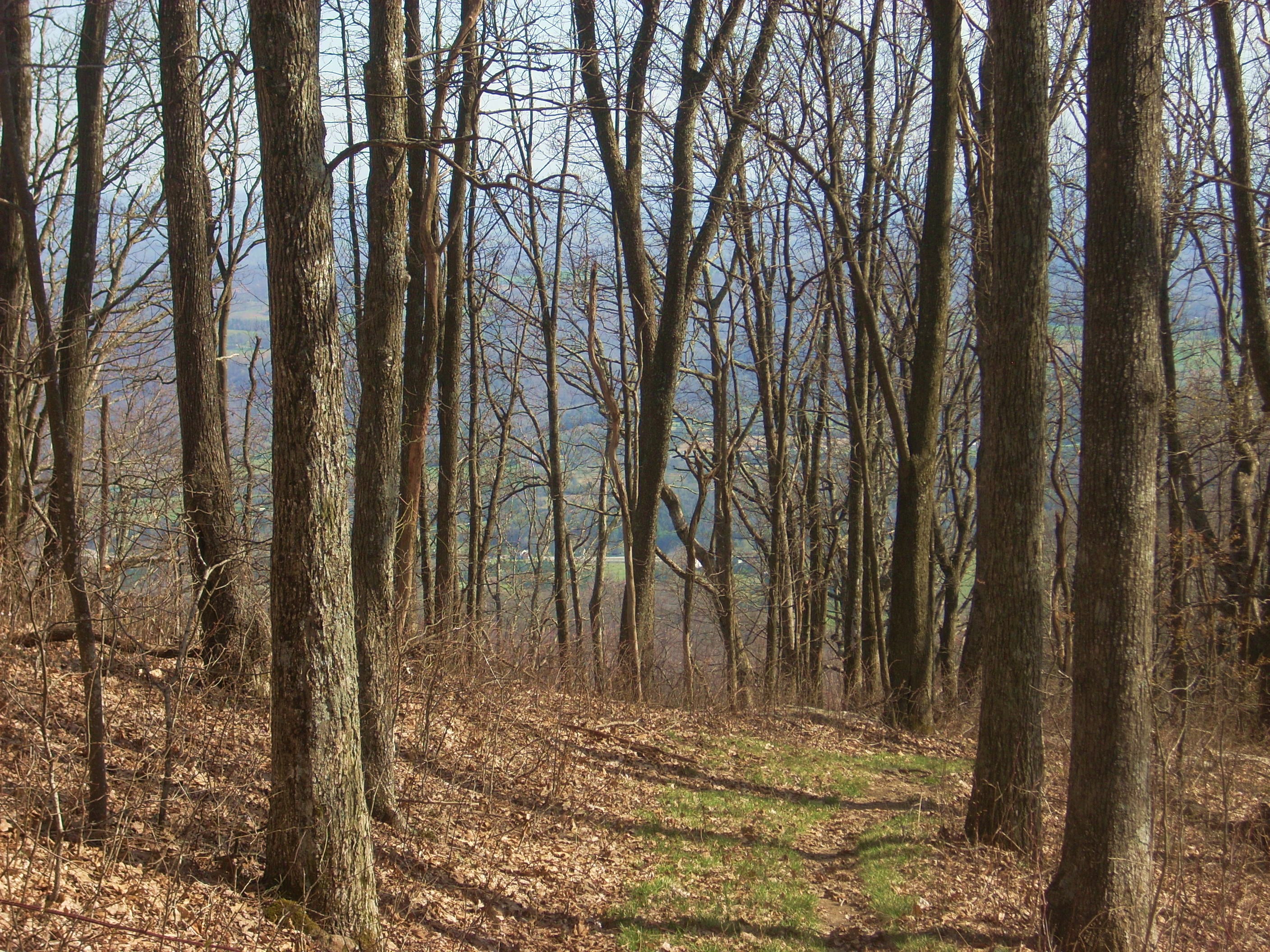
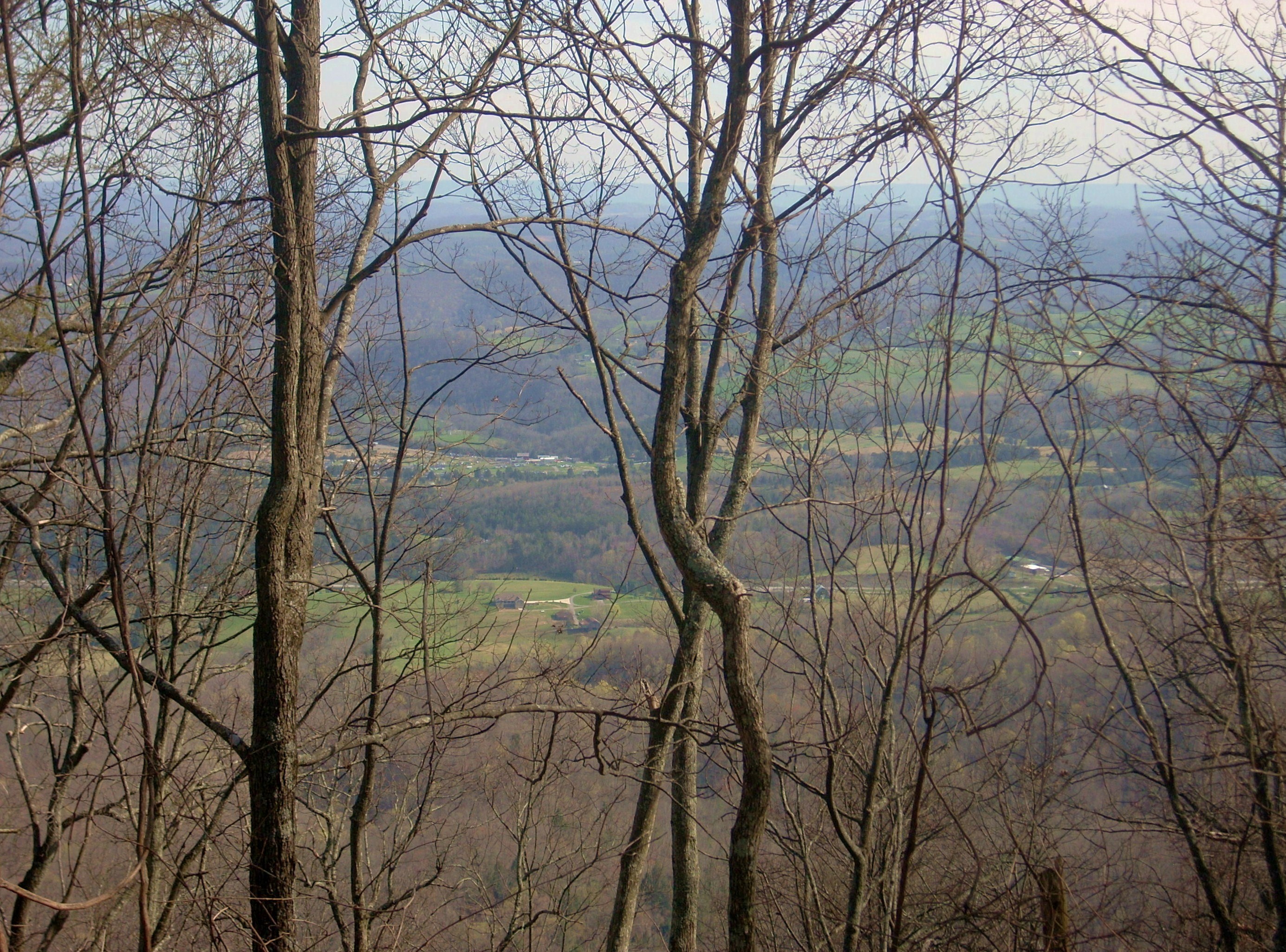
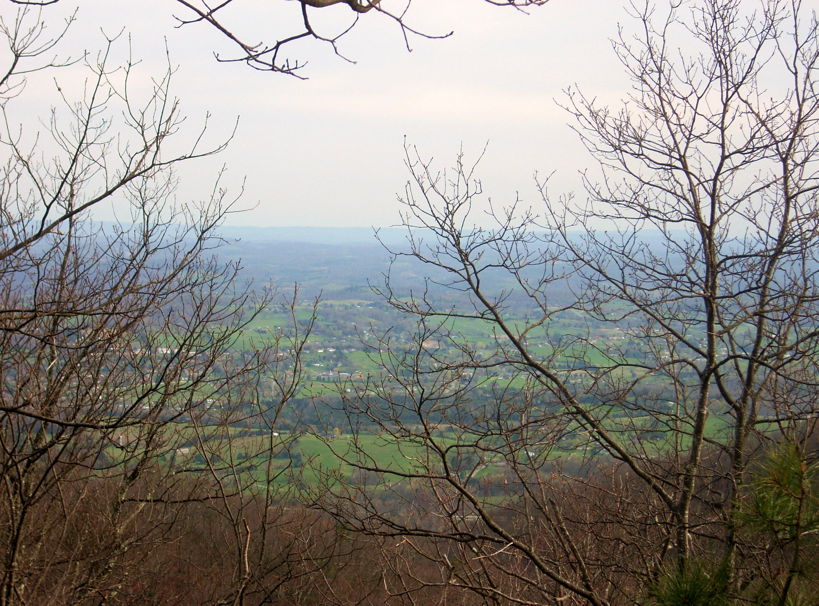
Anyway, as you crest out you’ll catch your first vistas through the trees just before you dip down to reach Gibson Gap. Here they have a campground complete with an outhouse. I wasn’t able to get many pictures though - there was a group making what looked like overnight preparations.

I got a little confused at this point. I was expecting to be walking along a level path for a while but what you’ll actually want do here is make a curve down and to your left. Doing so, I found myself walking along a beautiful old road which was “paved” in grass! Look at this! It seemed to me at the time that this must be the most beautiful road in existence!
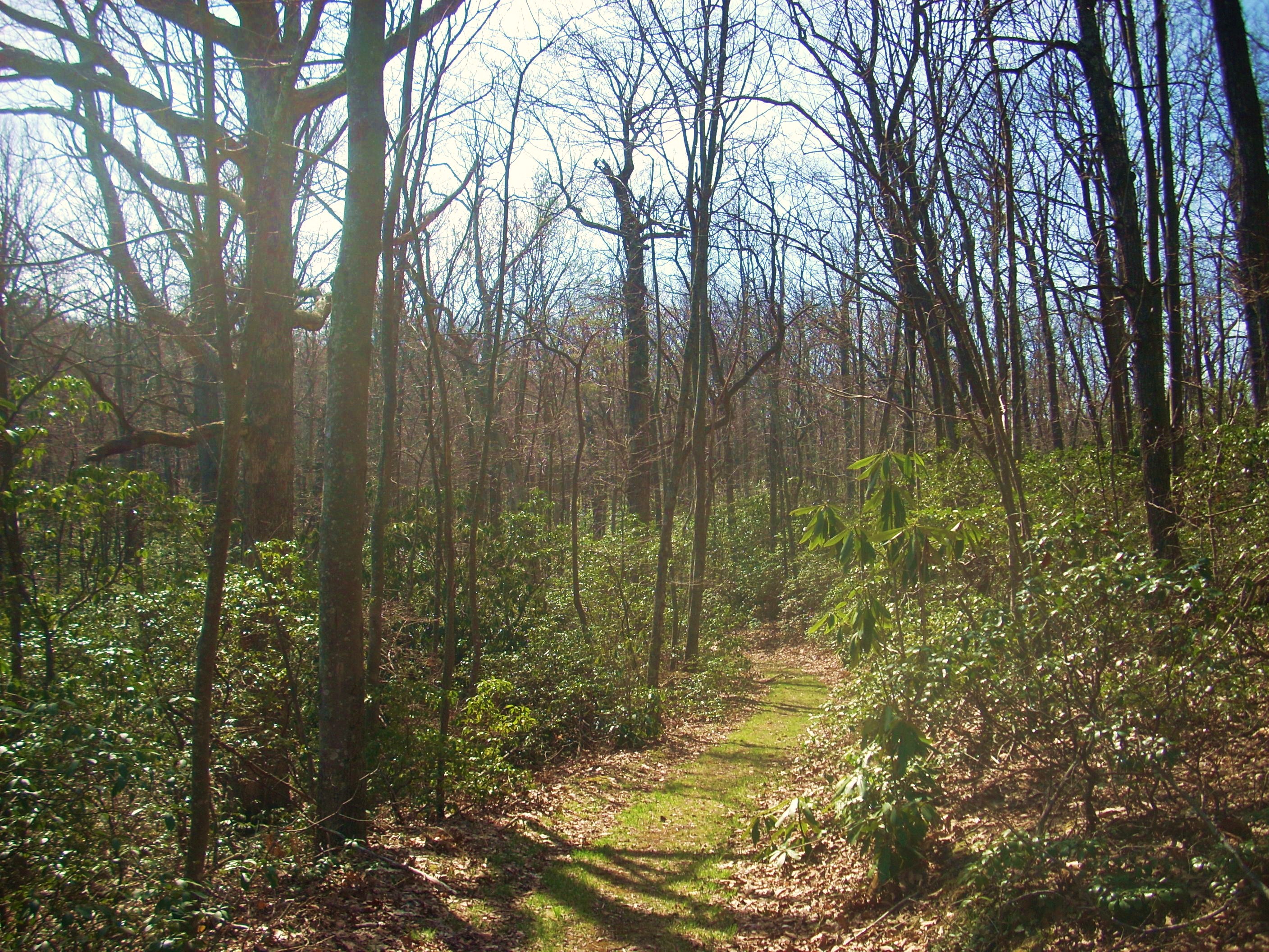
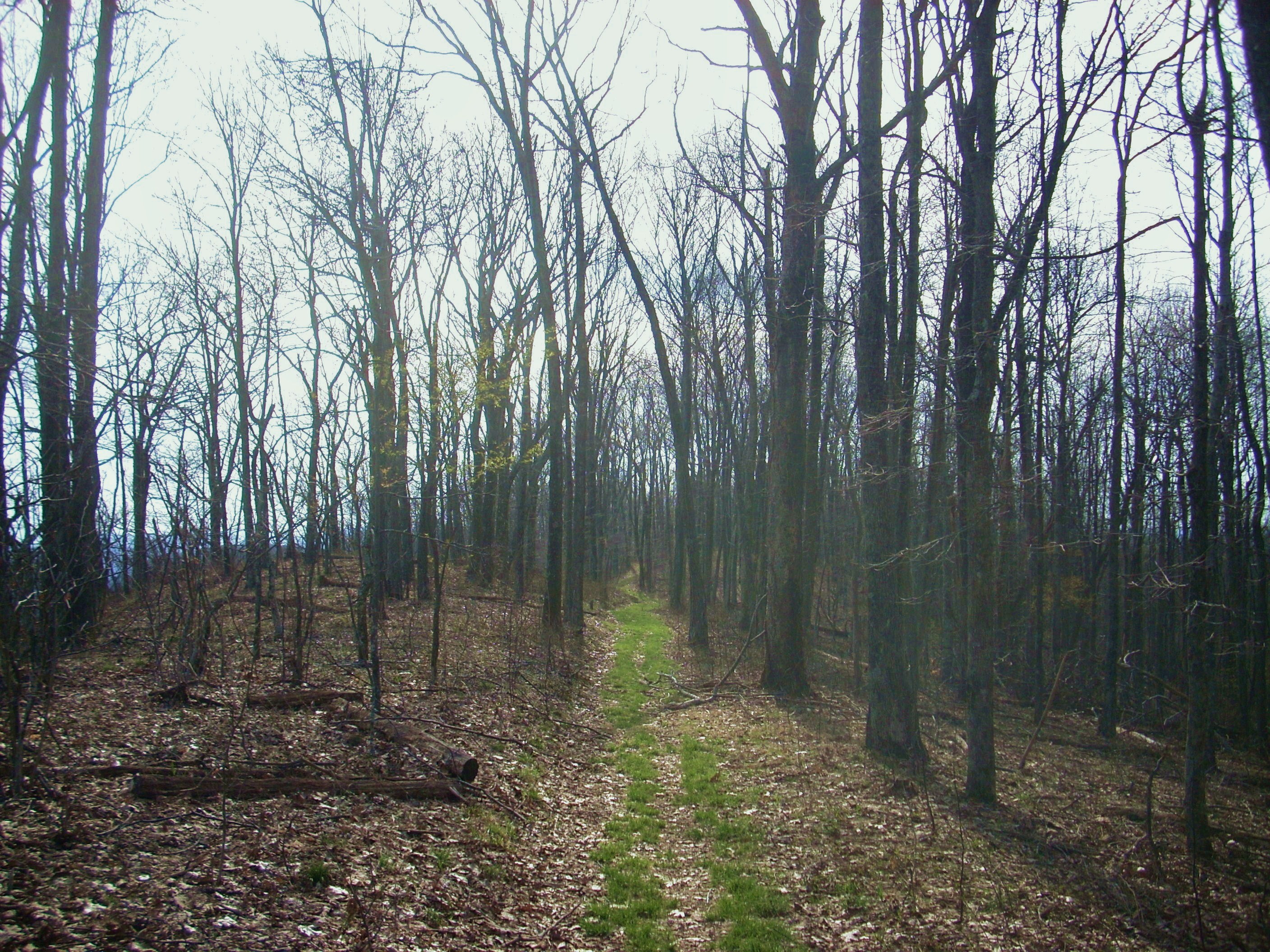
From this point the trail actually does begin to level out and it’ll have you
walking along the ridge top that divides
A somewhat awkward encounter
had occurred in this stretch. I am prepared to meet with
unfriendly dogs but I’m not generally accustomed to it because people are usually very
considerate and keep their dogs leashed. When one came running toward me here,
however, I had a snap decision to
make. Do I take my chances or do I try to repel it?
Please keep your dog leashed
on the trail – not just out of courtesy to others but out of concern for the dog! Not
only do you risk the possibility of an unexpected snake or stinging insect nest
encounter, but the animal can also be a source of anxiety for other hikers who,
having absolutely no idea of the dog’s temperament might actually spray it.
Today I let this dog come and thankfully it turned out to be just a large
“puppy”.
The first part of your descent from the ridge will actually be a big dip in the Ridge Trail before it ascends anew to reach The Pinnacle (another outcrop of rock in the park with stunning views). Another trail intersection greets you here. It indicates that the Pinnacle is to your right along the Ridge Trail while the Lewis Hollow Trail will begin with a descent to your left. While the Pinnacle is a great spot to visit (see another entry), today I just followed along Lewis Hollow as it ran down the mountain beside another tributary of Station Creek. The stream had really carved a beautiful little valley out of the rock here!
Anyway, once you reach the
bottom you’ll encounter the Picnic Area/Campground Trail split and here you’ll
go right toward the campground with about a mile to go through the woods.
This stroll takes you
partly along the road you’ll have driven in on and it's a nice one amid which
you can contemplate what you’ve just done. Shortly you'll cross the road
to the picnic area to soon arrive back at your car.
DIRECTIONS:
From