One thing about
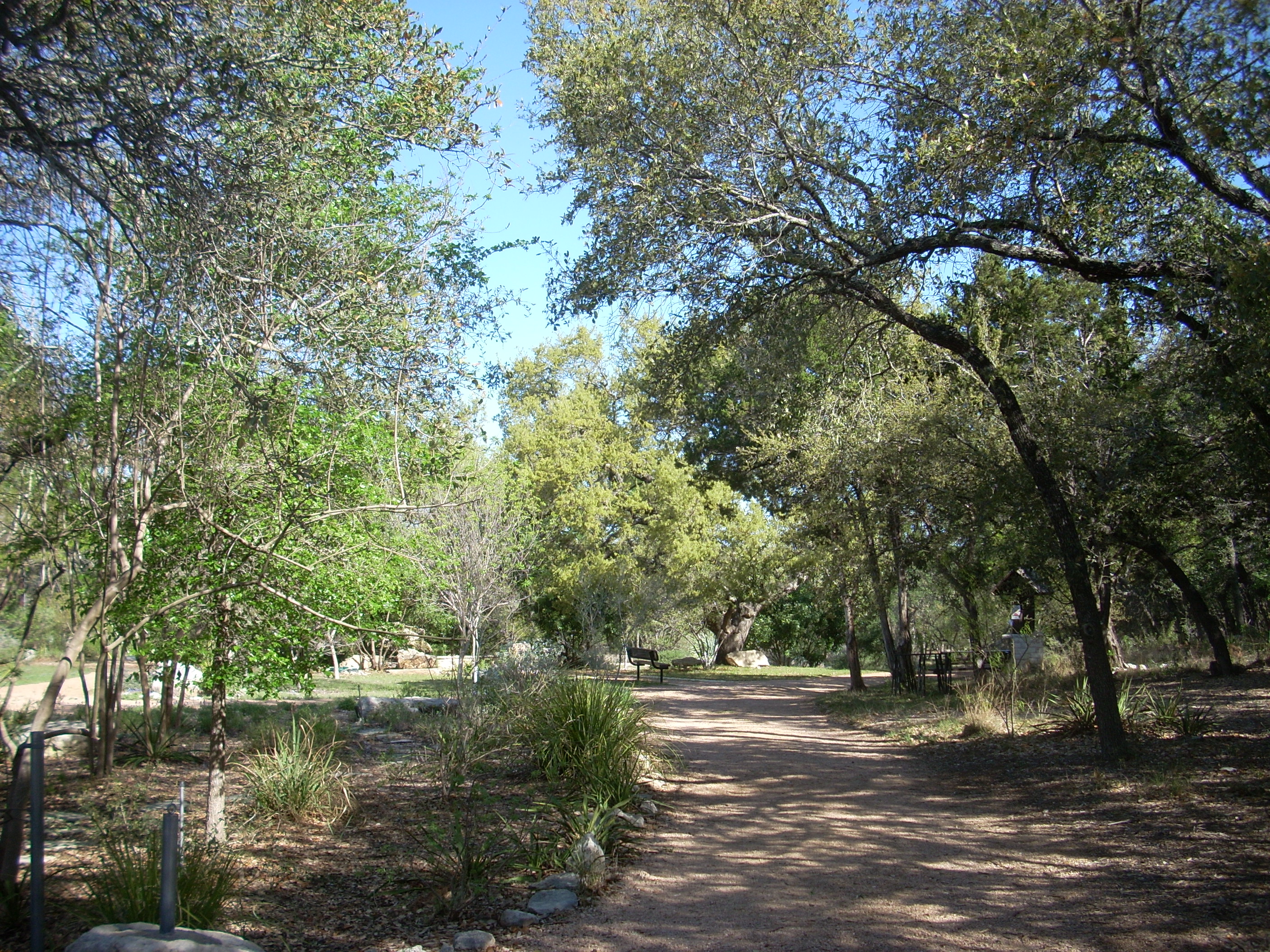
This particular hike (with directions) is on the Austin Explorer website here. This site is a great resource that provides more details about this particular hike (along with the sections we didn’t get to today) as well as many other sections and trails around the city. Today we parked at one of the trailheads and picked up the path as it went through a pleasant little park. The place was complete with a little man-made waterfall, some picnic tables and park benches.
The trail
basically meanders directly beside the right bank of Hurst Creek as it flows
downstream in a mostly eastern direction (it eventually turns northeast to drain into the
Incidentally,
if you follow along the entirety of this particular trail you’ll have travelled
about 3 miles according to the above website. We didn’t do
the entire thing, but there is an offshoot of the trail which they refer to as a
“primitive” trail (formed only by footsteps) toward the back end.
It looks to be a lollipop loop which adds about 1/2 mile.
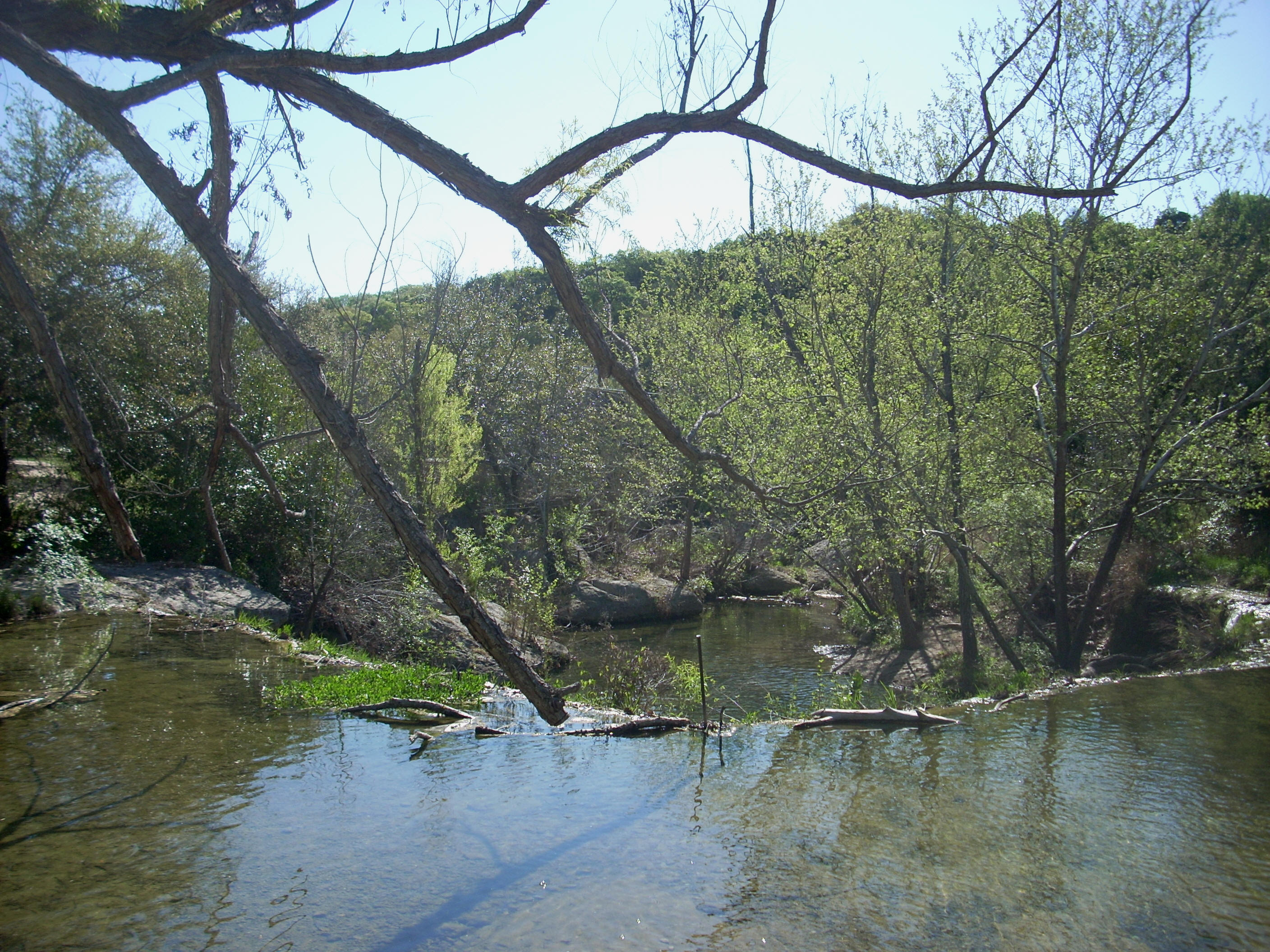
The first intersection we came to had a natural waterfall where you could go over the creek and on to what looked like another path which followed along the opposite side of the stream. The waterfall is pretty sweet. It’s eroded the rock in a circular pattern, and it will be a kind of dividing mark between what has been a walk through the woods and the beginning of more urban stretch.
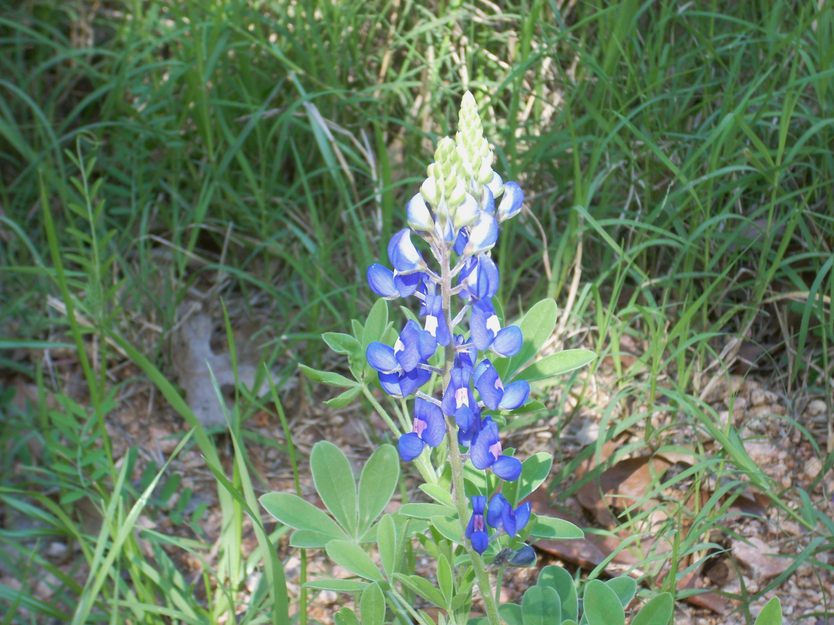
As we
continued we passed by some bluebonnet blooms. These usher in the beginning of spring in
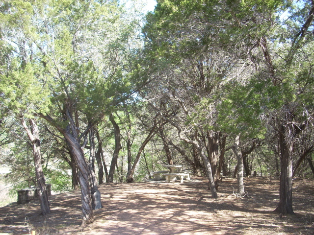
Presently we came to a decline which took us to a paved portion of the path and across a little Hurst Creek tributary stream. Crossing this, you can veer right (which will apparently take you to an alternate trailhead) or you can veer left which will continue on the main trail. We opted to go left and immediately found ourselves veering in that direction again on a spur which led us to an incredibly nice little shaded picnic area.
After we'd passed this we concluded our hike around a last circle in the path that contained the convergence with the primitive section of trail I mentioned earlier. This heads off in a generally northeast direction up a little incline (for more details on this section, see the referenced Austin Explorer link above).
As we walked this last circle we did stop and take the time to enjoy what would be our northernmost Hurst Creek overlook today before heading back. Even after we'd gone, the thought of this pleasant little trail lingered with me. It’s a great hike to enjoy in the company of friends or family!
DIRECTIONS:
This hike is in