Cub
Creek Lake Trail
I decided to
stop at this park on my way to visit some relatives in
Anyway, this Natchez Trace State Park
has more than 13 miles of trails plus a 40 mile backpacking trail. The Natchez Trace was an old wilderness road in
the 1700's and 1800’s which led all the way from
What I
basically did to get to get to the trail was drive back to the swimming beach
at
As per the rangers’ indications I passed by the boat dock and took a right to span the first of 2 wooden bridges which took me over a couple of lake coves. The first bridge briefly deposited me in a little camping area and then I quickly spanned another to arrive in what appeared to be a little neighborhood of partially brick houses. If these are the park accommodations and not private homes then the amenities out here are positively luxurious compared to other parks I've been to. The only problem I could envision would be the dogs barking on the other side of the lake because they were at it almost the entire time I was here - a few hours. It was ridiculous.
I got a little bit confused in this cabin area, but I eventually kind of bumbled and stumbled my way onto the right path. You’ll head down a short little road which ends at a lone cabin and the trail will start off to the right of this. You'll then be led down into an exploration of a marsh-like area amid one of the lake tributaries. This is actually the starting point of the 3.5 mile Cub Creek Lake Trail.
At any rate, I enjoyed this first part of the hike even though it was apparent that I was going to be clearing the trail of quite a few spider webs today. The tributary meandered pretty wildly in places back here and its’ water actually appeared to be really clear despite the muddy stream bottom.
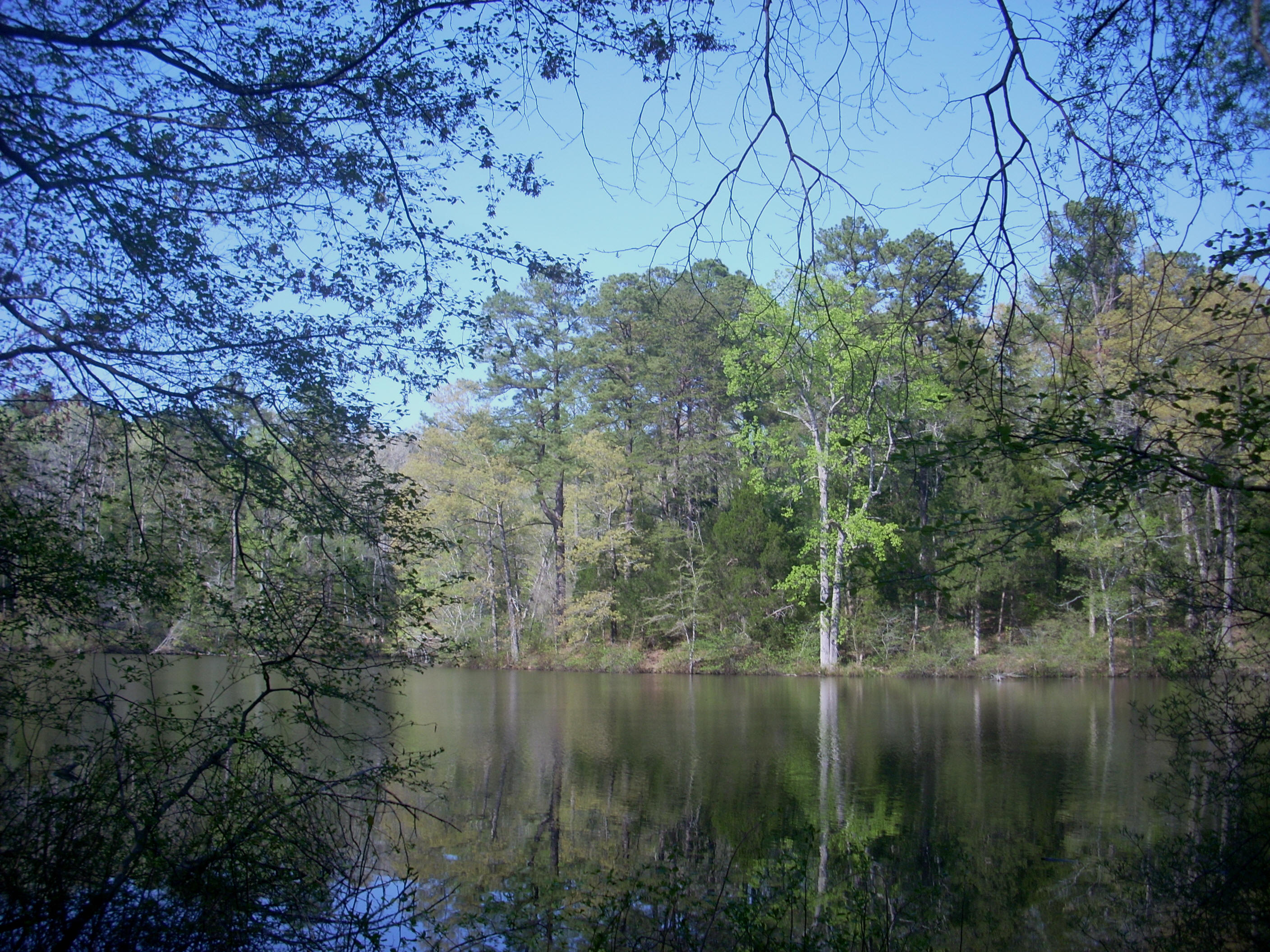
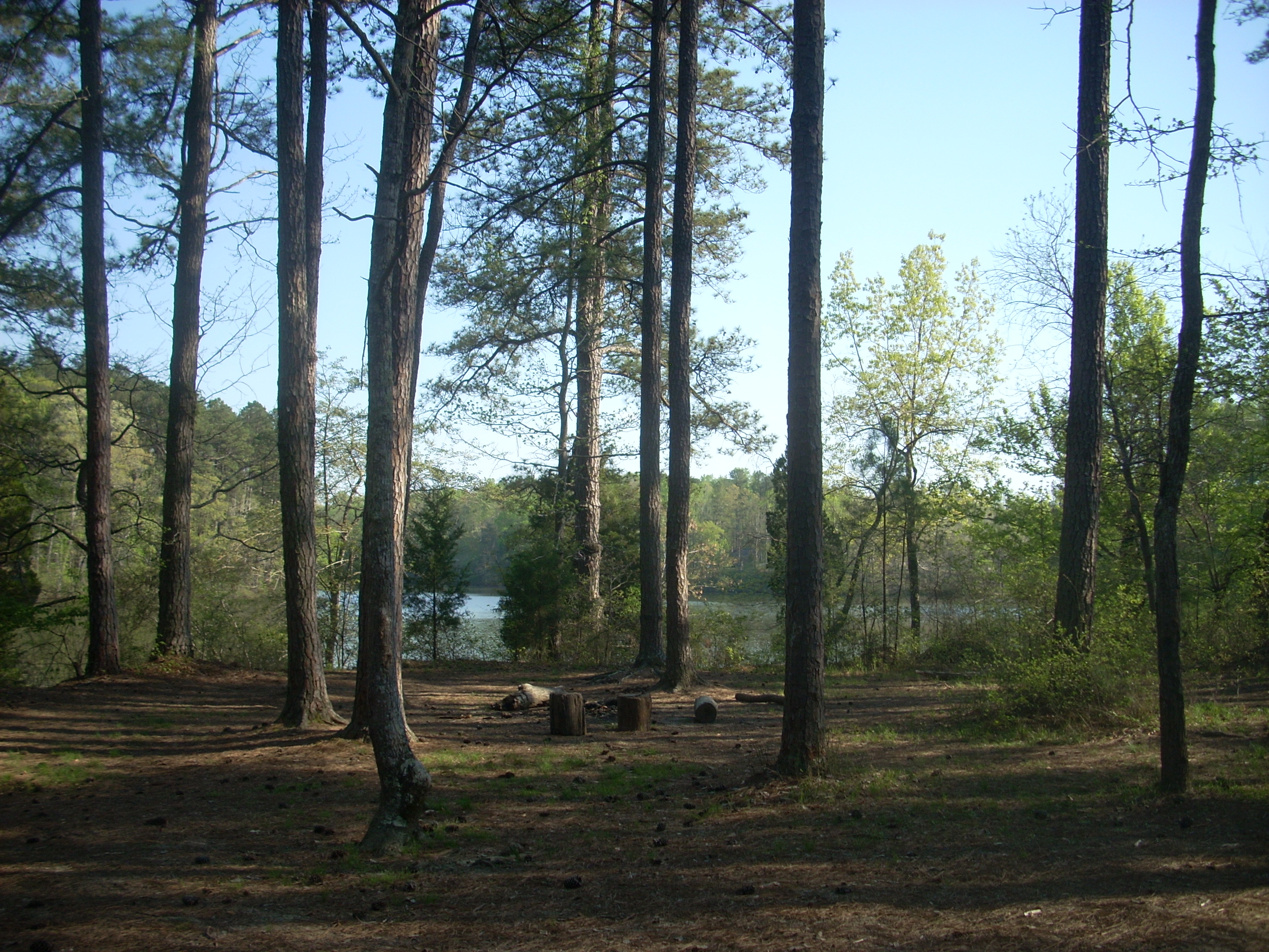
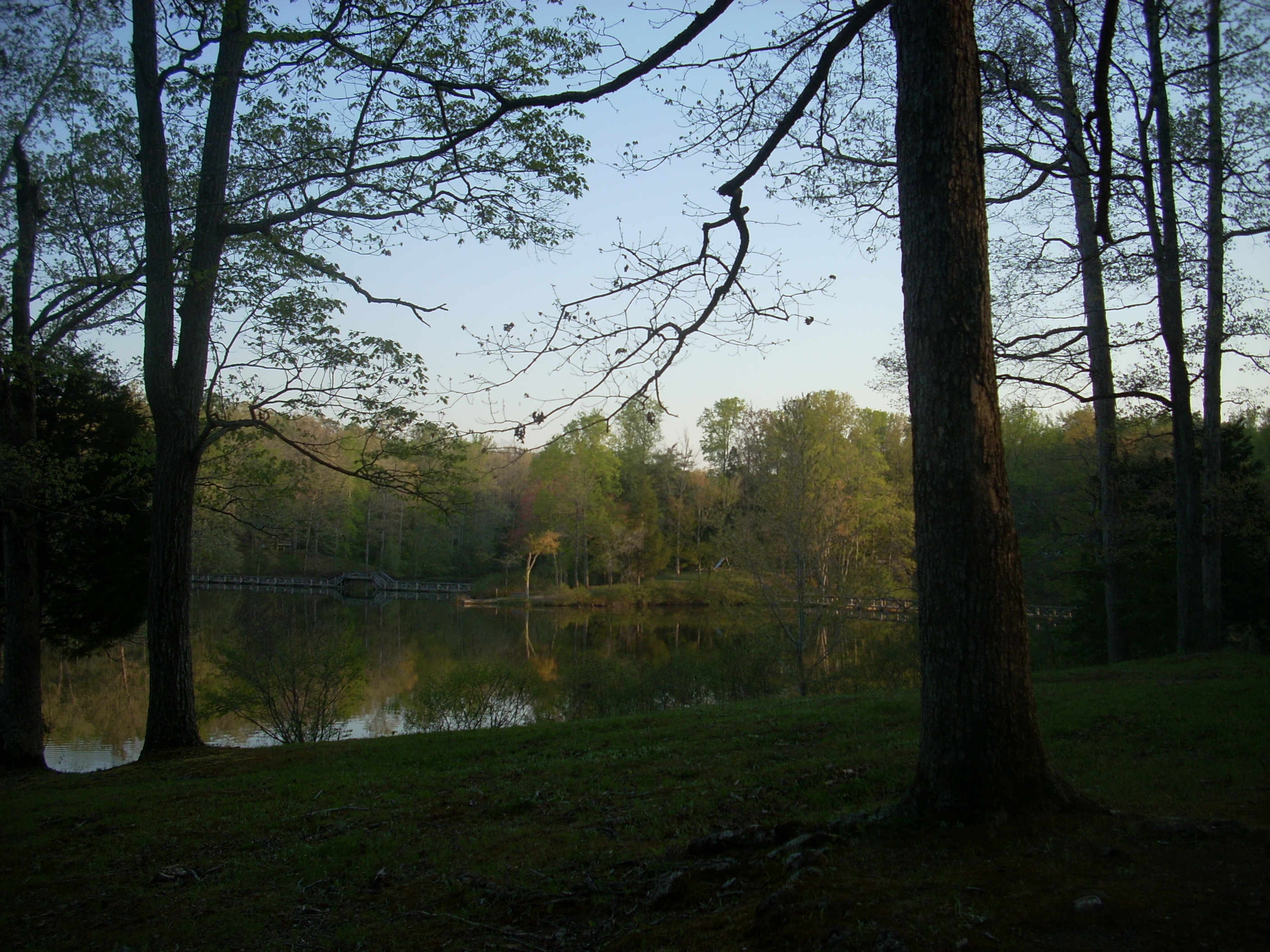
Soon crossing this little stream and reaching the back of the lake, I began to catch glimpses of the bridges I'd crossed and it was at about the ½ way point around the lake that I came to a levee. I took a right to cross over it along a dirt/gravel road, and from there the trail left the road and led back down to the lakeshore. Here was where I got what I thought were the best pictures of the lake in the midst of a great looking camping spot, a fine fishing location, and a patch of flowering trees.

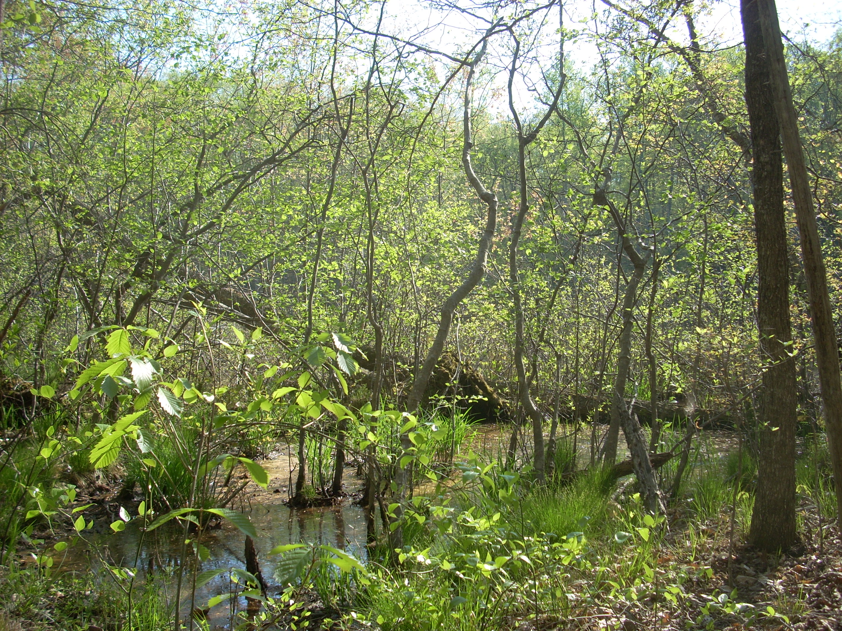
The next section of the trail was a bit odd because I started to notice an area of forest which appeared to have been bulldozed or otherwise cut down. I wondered why… Apparently they’re doing something here, but I’m not sure what. Logging maybe… I walked back into this area a little way, following along a path that looked like an ATV trail but I didn’t reach the end of it. I soon returned to the main trail and crossed over a little stream to reach another marshy area which looked like a fern nursery. It’s likely to be quite lush in here come summertime…
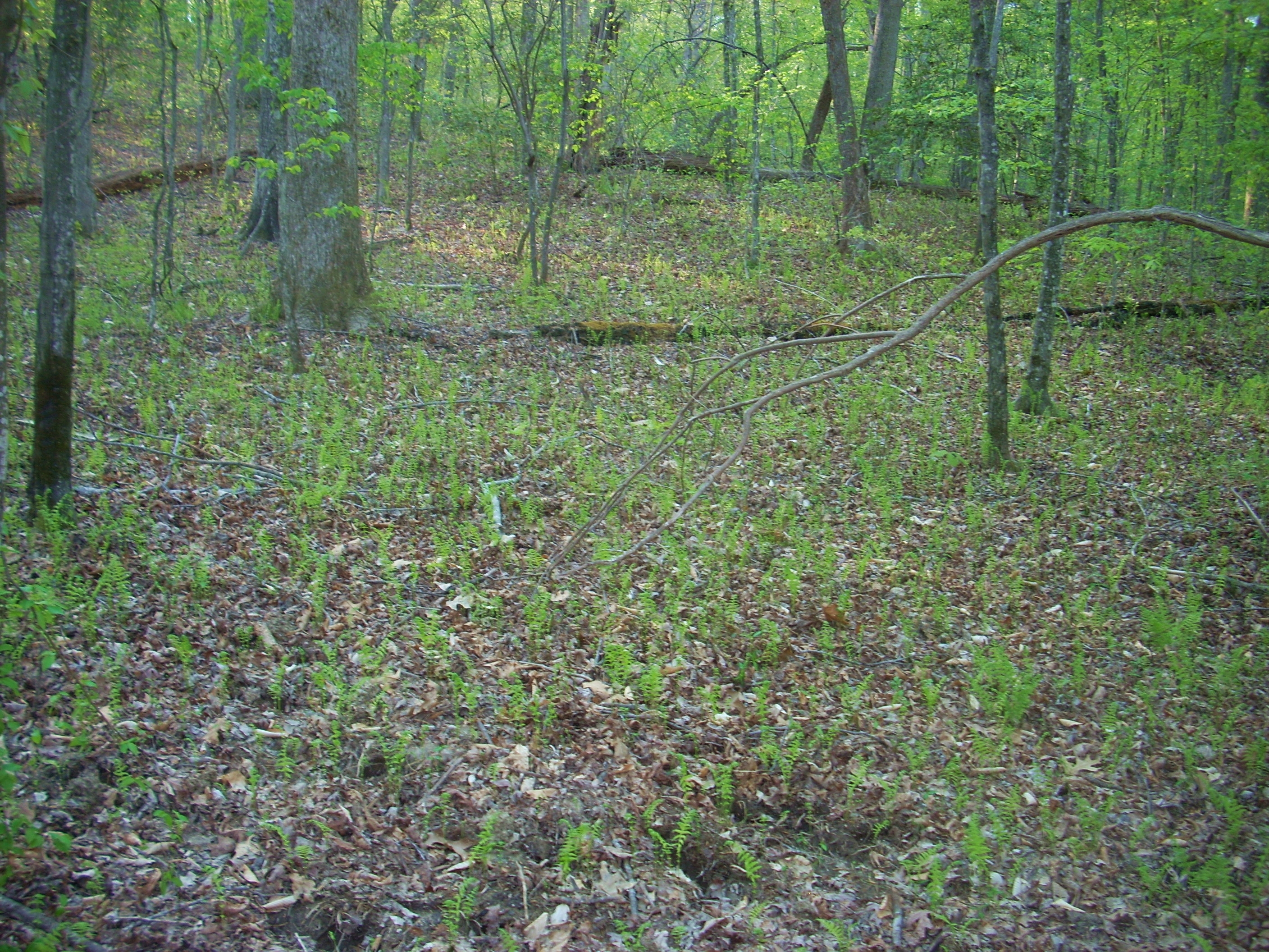
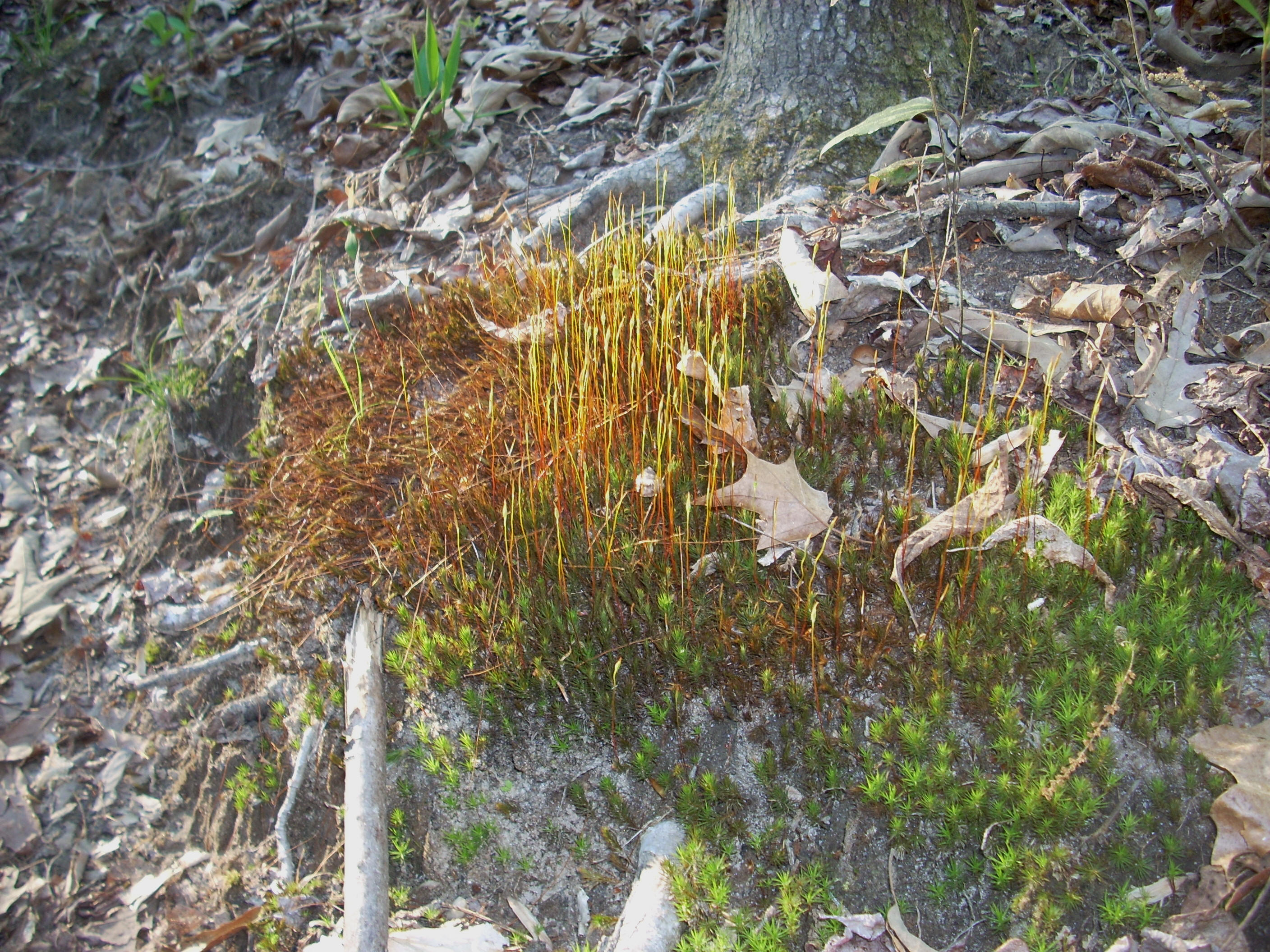
There were some interesting mosses too…
I got a little confused at the
next series of signs.
#1 - Head back
the way I came (somewhat defeatist).
#2 - Go to the
park office and ask for help (too defeatist and embarrassing), or
#3 - Continue
following the sign toward Pin Oak Lake.
My instincts
told me to go with #3, because even though the sign indicated that I was heading
to Pin Oak it sure seemed as if I was still skirting around the coves and
tributaries of
At any rate, I wandered and wondered for a little while until I presently saw another set of signs which confirmed my assumption - they mentioned the Cub Creek Lake Trail specifically. Further validation came when I also started hearing the dogs again because I knew that they were right above the hill from my car. This left me with another problem, however… Knowing that I was going to have or come close to having an encounter with them, I reached for my dog chaser (an ultrasonic device which supposedly repels dogs) to make sure I was prepared... It was gone! I’d checked for it earlier when I was walking through the cabins, so I must have lost it during this hike. I was angry. It was the second one I'd lost in a year. A can of Halt! would have to do in case of emergency.
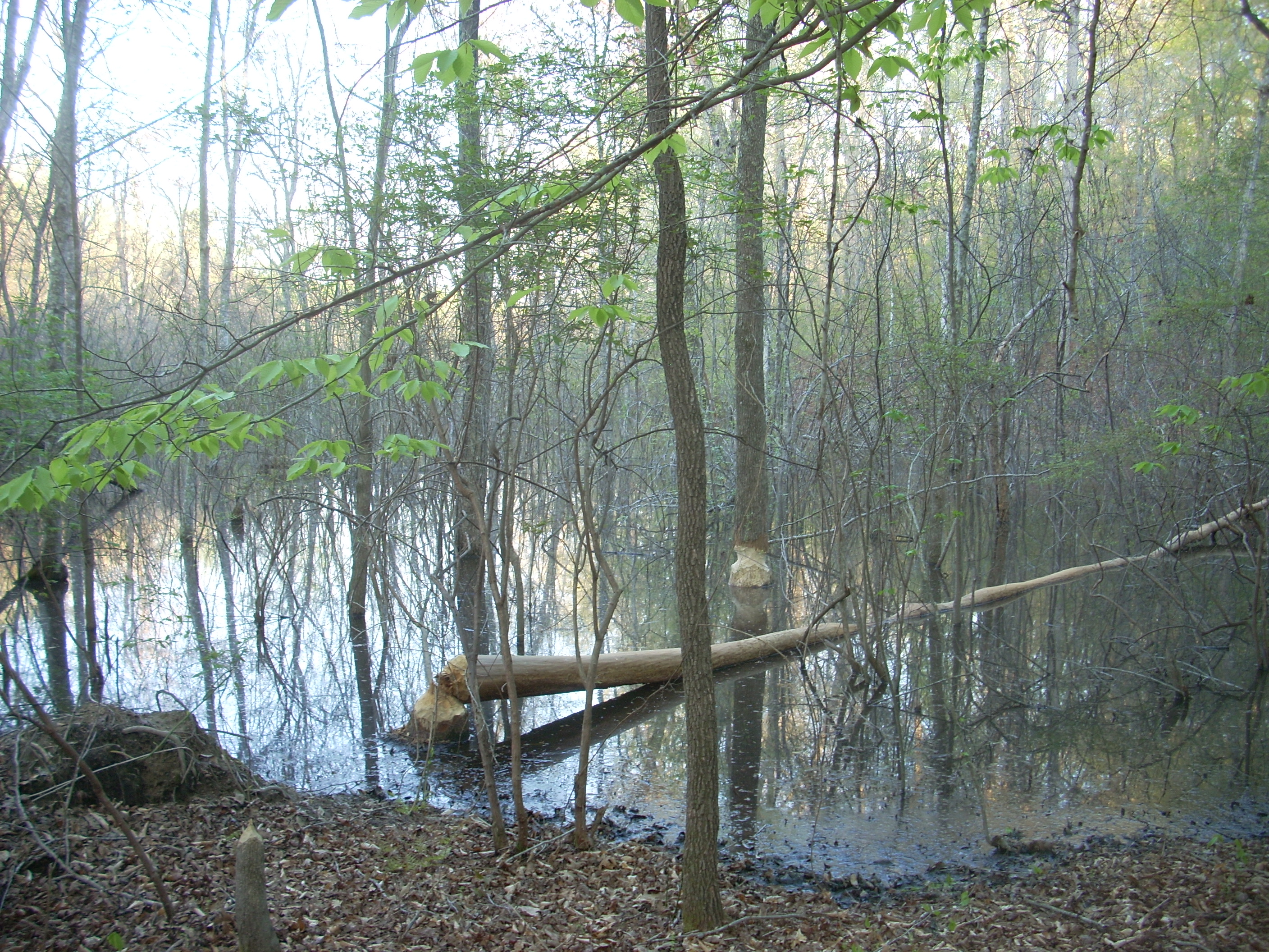
On a lighter note – this photo of incriminating beaver evidence! :)
Sure enough,
within a mile of the signs I found a path which led me up to a road and when I
reached it I knew exactly where I was.
The park recreation lodge was immediately down and to my left although I didn’t
see a path leading to it. I headed toward it along the road.
I wanted to avoid the dogs but I couldn't. There they were
at a house at the top of the road! They’d
actually been quiet for some time but they now became very audible!
I didn’t take a long enough look to see if they were tethered, I just
calmly and quickly turned around and headed back in the opposite direction.
Luckily they didn’t follow. I wondered how many hikers they’d discouraged from exploring
these trails.
Well, it turned out I could have cut through at the lodge, but I found my way out pretty easily just the same by simply following along the edge of the lake. This may not technically be a trail, but it is pretty well trodden and it soon led me past the boat dock, the swimming hole and back to my car.
Next time I’d
sure like to check out some of that backpacking trail on an out-and-back hike…
DIRECTIONS:
Check out the
above website. They’ve done a good job of this – better than
I could – but it’s pretty easy off I40. I’d definitely stop
and get a map at the park office, but remember that this trail I’ve just
described is closer to 4.5 miles all the way around than 3.5.