.jpg)
Big South Fork National River and Recreation Area
Rock Creek Loop
(Incorporates parts of the Sheltowee Trace and the John Muir Trails)
April 14, 2011 and revisited April 12, 2018
Things really do go as I plan sometimes. I just can’t remember the last time they did! :)
Today I couldn’t get very far on the John Muir Trail on either side of KY154 because of the high water levels on Rock Creek. Well, it's a good thing that in this area of the country you have plenty of options! There’s so much to do out here that you really can’t go wrong. There are actually 3 major recreational areas that converge along the border of Kentucky and Tennessee: the Big South Fork National River and Recreation Area along with the Pickett State Forest in Tennessee and the Daniel Boone National Forest in Kentucky. As such, there must be a couple hundred miles of hiking trails in the vicinity to include a long stretch of the Sheltowee Trace.
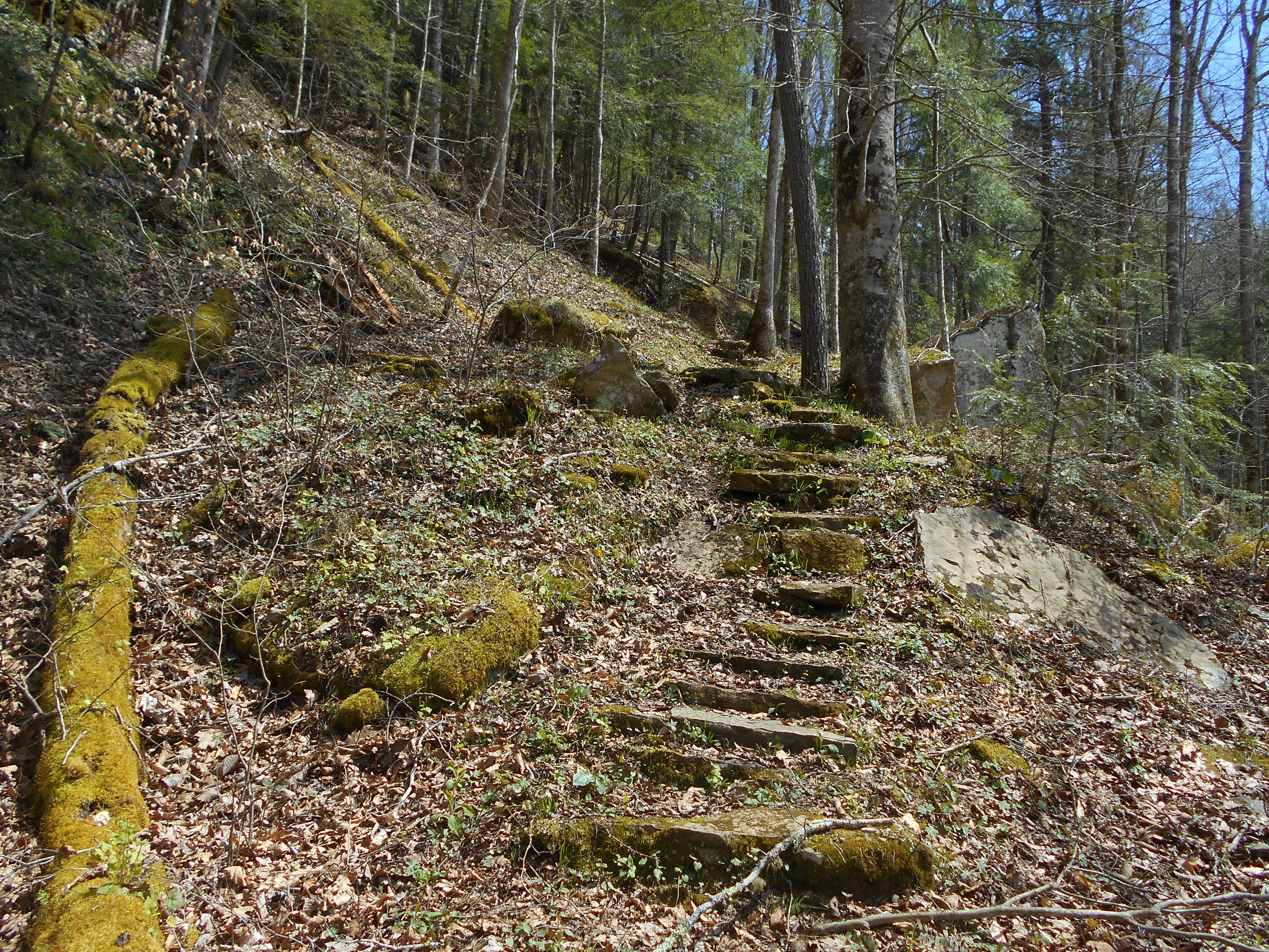
Anyway, if you too are foiled by the creek level it's a simple matter to take this hike instead. Simply drive south 4 more miles on KY154, take a left on Divide Road and then go 6 more miles on Divide Road to reach a serene Hattie Blevins Cemetery (see full directions below). You'll start on the path as pictured below with the cemetery on your right (and incidentally, you'll have passed where you'll come out of this loop about 1/2 mile back down the road - the last part of this hike is road walk to get back to this point).
Greeting me almost immediately as I began along the path was a little pond where I was delighted to find some tadpoles swimming around. I believe I even “met” a red spotted salamander (or newt). These little creatures are apparently dark green with red spots when they’re laying eggs in the early spring and then they’re all red from that point. Its chance encounters like this really leave a lasting impression. For me, they renew an already profound respect for life and they again remind me of its diversity and its sheer awesomeness! NOTE - A fresh batch of tadpoles was here in 2018 too.

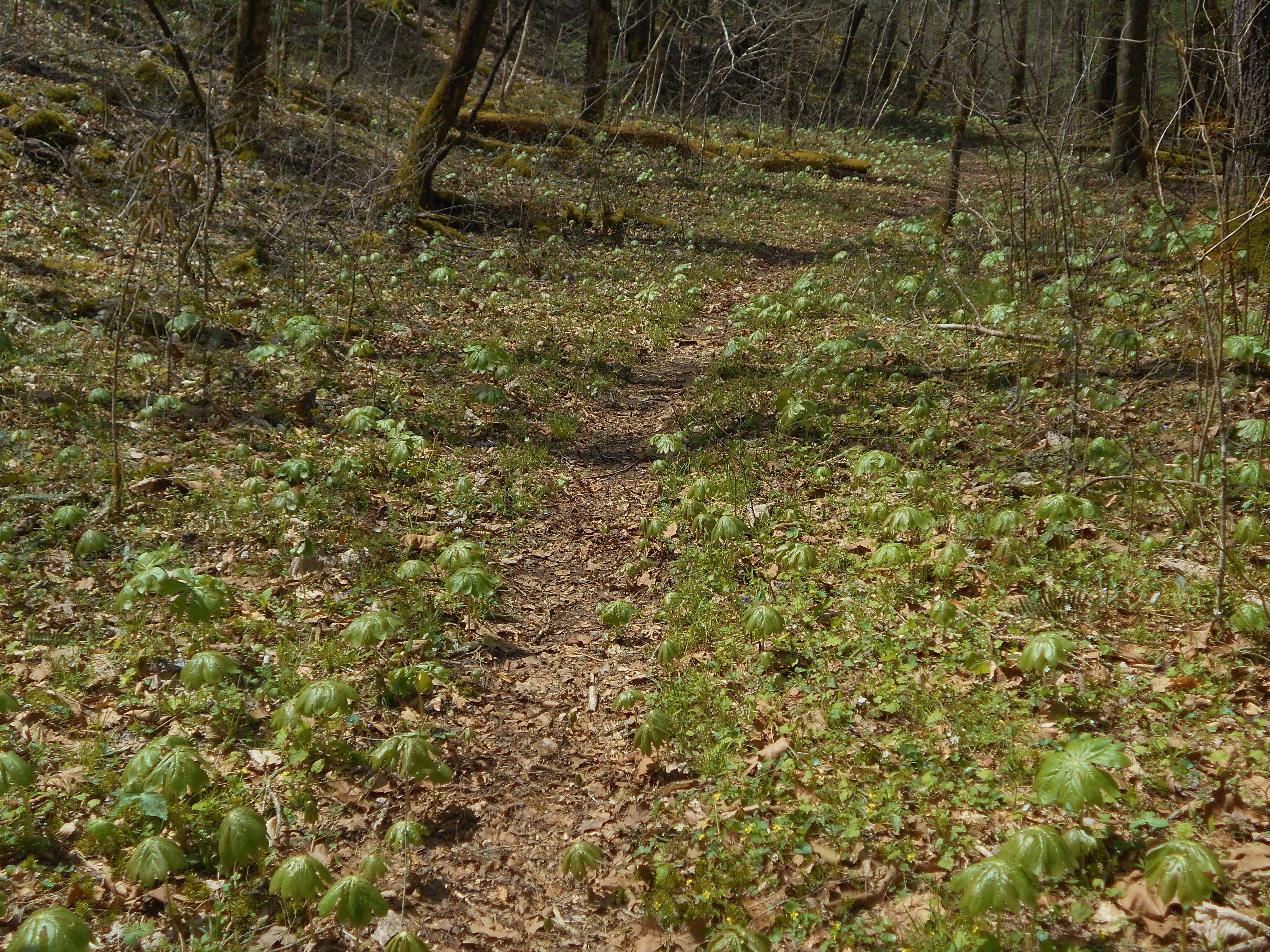
The path, for the first mile or so, will walk you through the woods along a ridge top where at this time of year you might be starting to see new signs of spring growth…
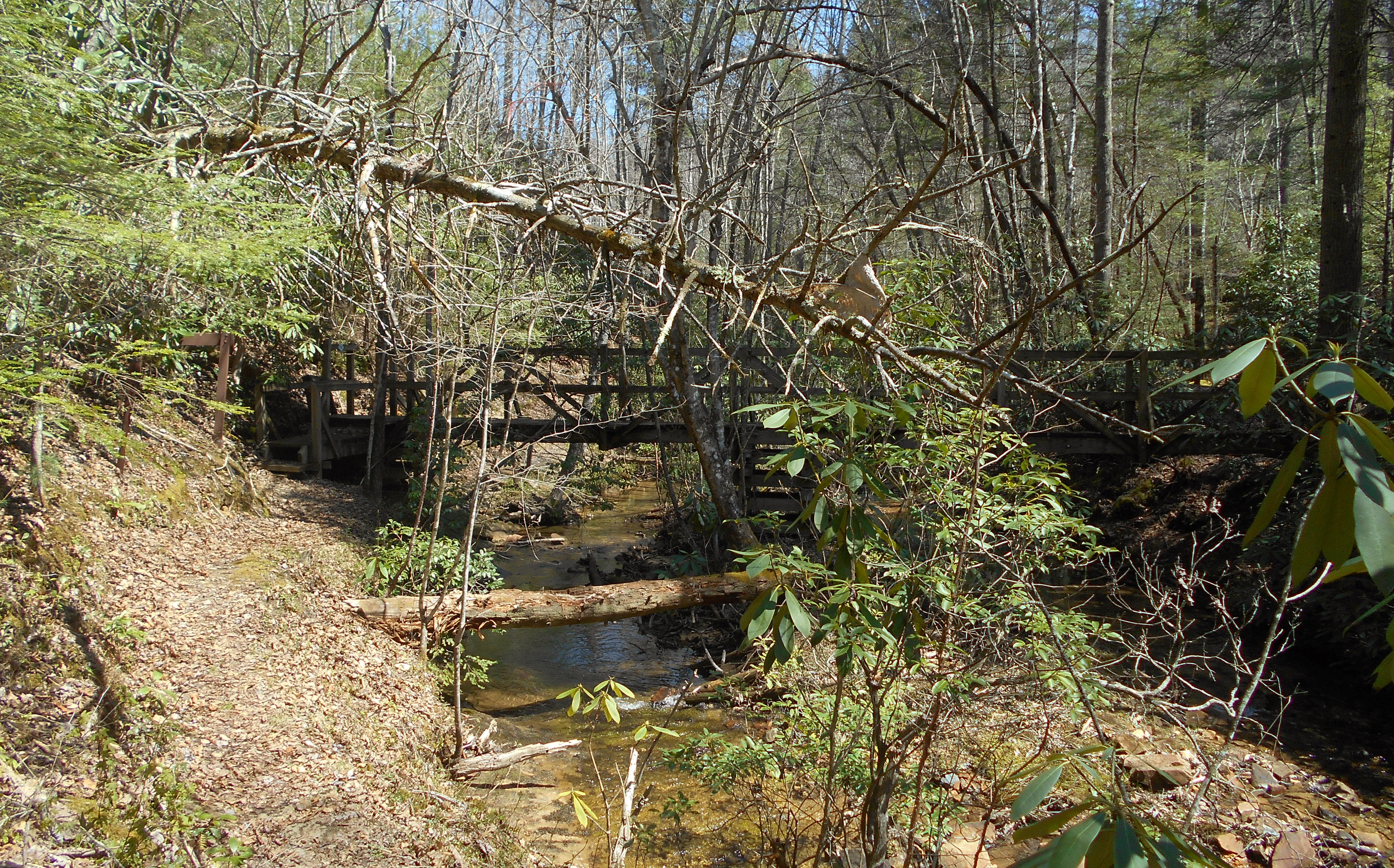
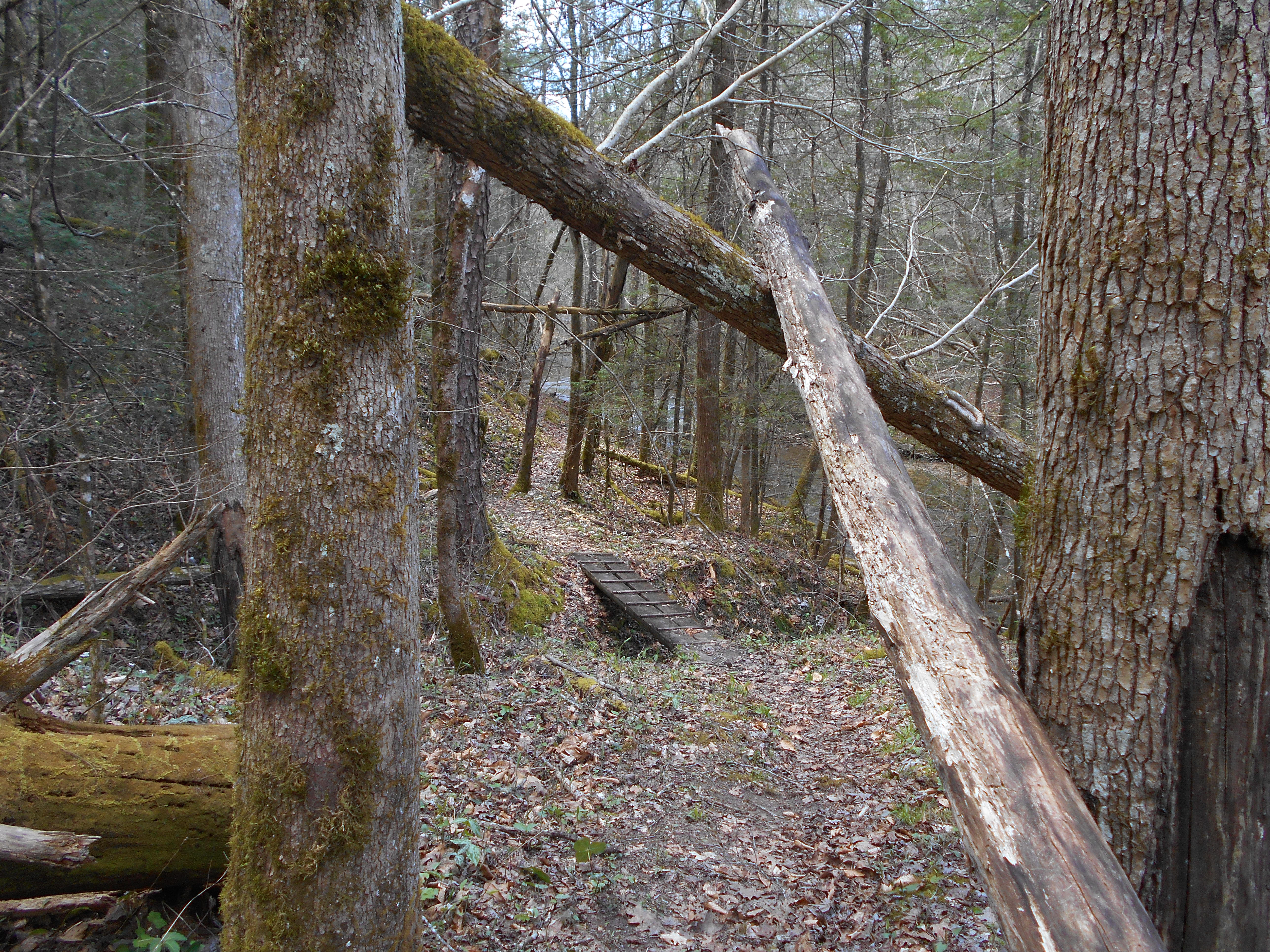
Soon the trail will dip down to visit a little Rock Creek tributary stream called Massey Branch, and at this point you’ll find your first trail junction. It's in a beautiful setting where a wooden bridge crosses the water. The John Muir Trail heads to the right over this bridge while the Rock Creek Loop Trail continues straight to follow Massey Branch downstream. Something interested me in the pictures I took in 2011 when I first came here vs. 2018. See the downed tree? I checked out the picture I took 7 years ago and it's not changed position one bit.
I think the he progression of Massey Branch is interesting. At this point you’re not too far from it's origin so you’ll notice that the further downstream you go, the deeper the valley will be carved out. I believe the progression of a valley is thus:
gully (or ditch)
ravine
valley (or canyon or gorge)
You’ll have witnessed most of this transition by the time you’ve reached the next trail junction.
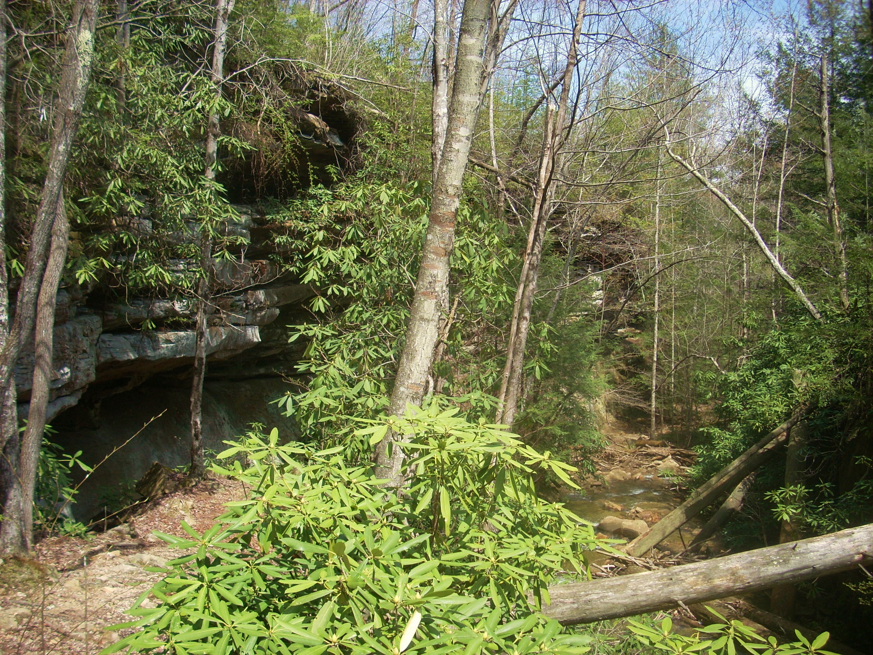
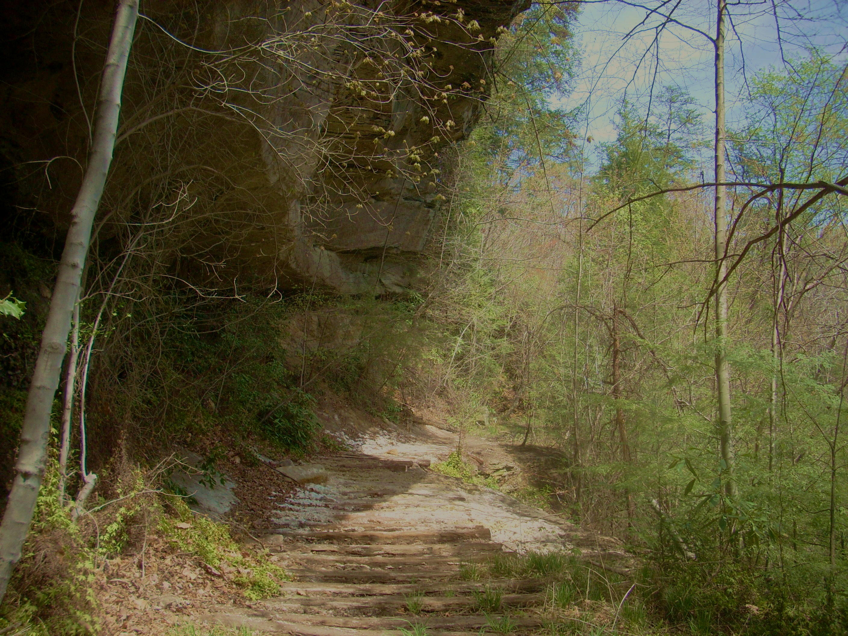
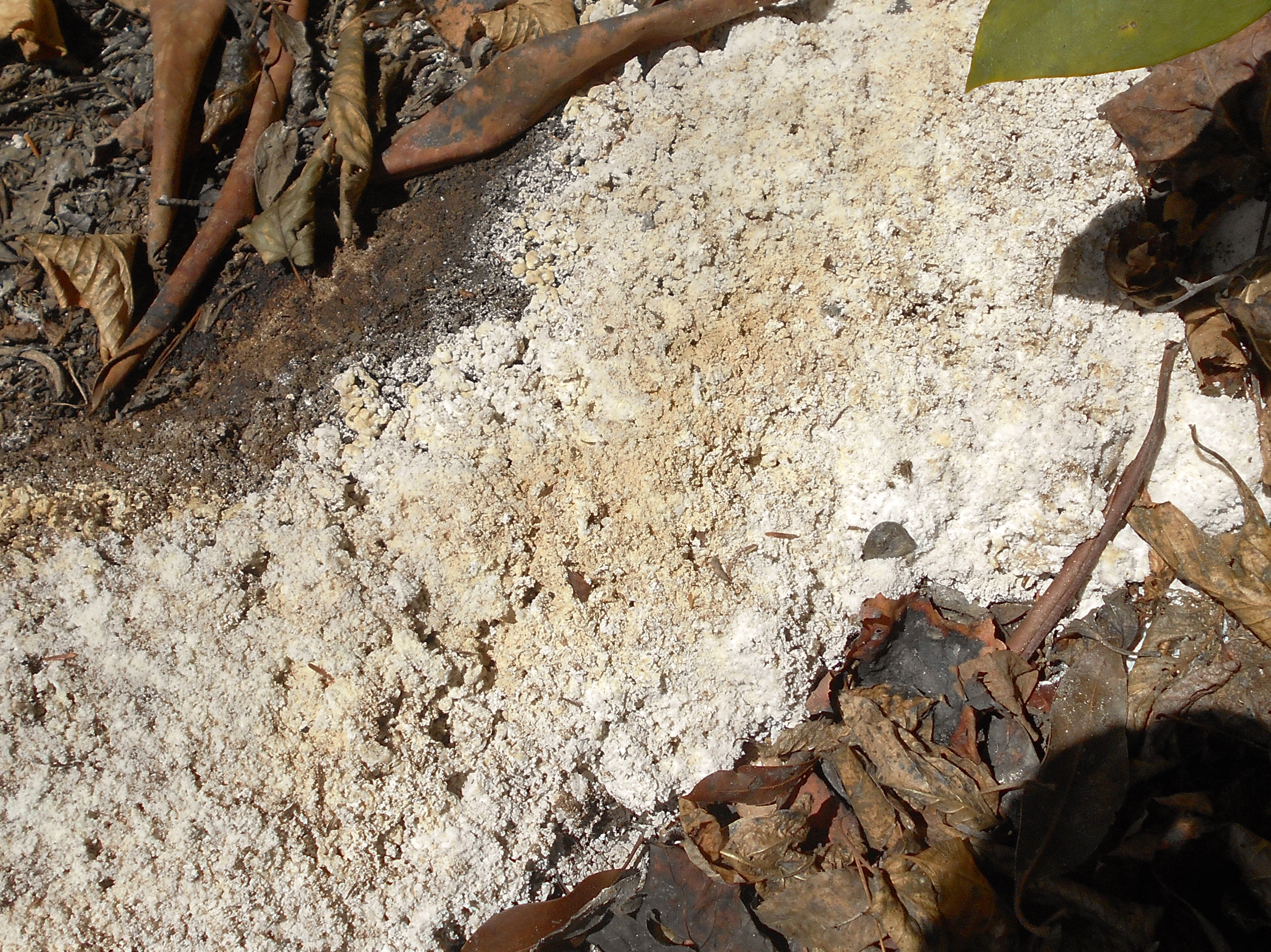
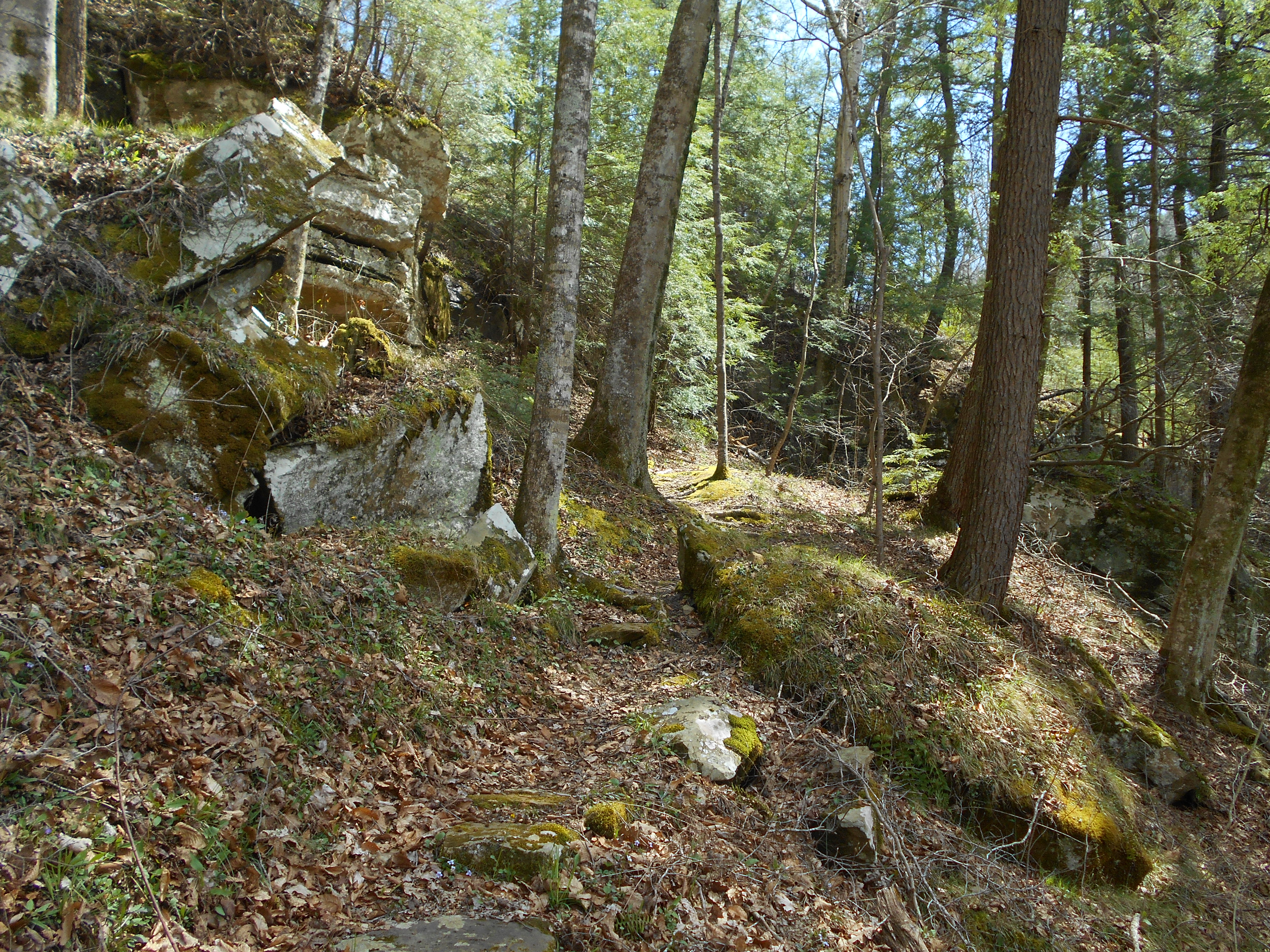
Anyway, as I rounded a corner I found myself directly alongside a rock face, complete with little overhangs beside the stream. For me this was a positively awesome area! I couldn’t stop taking pictures and maybe the most incredible thing was this: do you see what looks like little railroad ties in the bottom of the second picture below? According to Johnny Molloy in his great book on the Sheltowee Trace (here) there used to be a little railroad that ran through here! You may also notice what look like some white mineral deposits (or maybe some type of algae?) on these ties as you walk past. It gives the ground here a somewhat chalk-like appearance (as in the third picture).
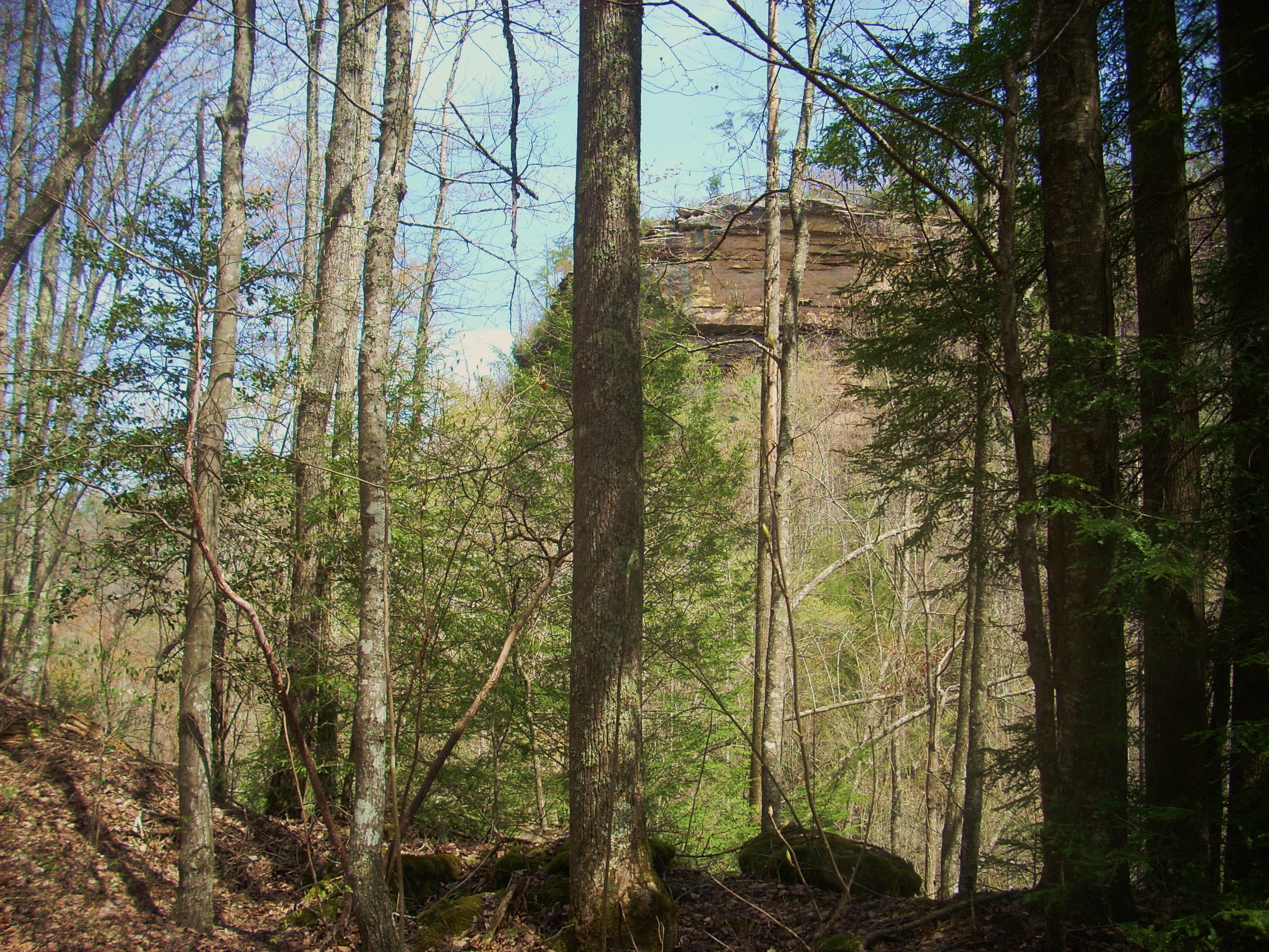
Anyway, the path will next curve left around the ridgeline and here, having been distracted by the beauty of my environs; I suddenly noticed that Massey Branch had somehow gotten waaaaay below me! Note the picturesque rock outcrop across and to your right here…
Meanwhile, the trail will now - for the most part - be winding around the ridge contours on a fairly level plane and look at the trail markers! These, to me, were hilarious! They’re blue, with the classic long-bearded face of John Muir in silhouette. Ever since you passed the bridge the trail has been a Rock Creek Loop/John Muir Trail combo.
At the next trail intersection you’ll add a third name to that combo – the Sheltowee Trace. A turtle has just been added to your hiker and your John Muir logos! This turtle is representative of the Sheltowee Trace, one named after Daniel Boone. Sheltowee was the name the Shawnee Indians gave him. Are you up for hiking another 275 miles or so? Turn right here! The Sheltowee will soon pass Great Meadows Campground before continuing north almost all the way up to Ohio! If, however, you’re content to just finish this shorter hike then you’ll turn left and embark on about a 5 mile exploration of the Sheltowee/John Muir Trail alongside the beautiful Rock Creek. In the spring this entire area will be alive with wildflowers!
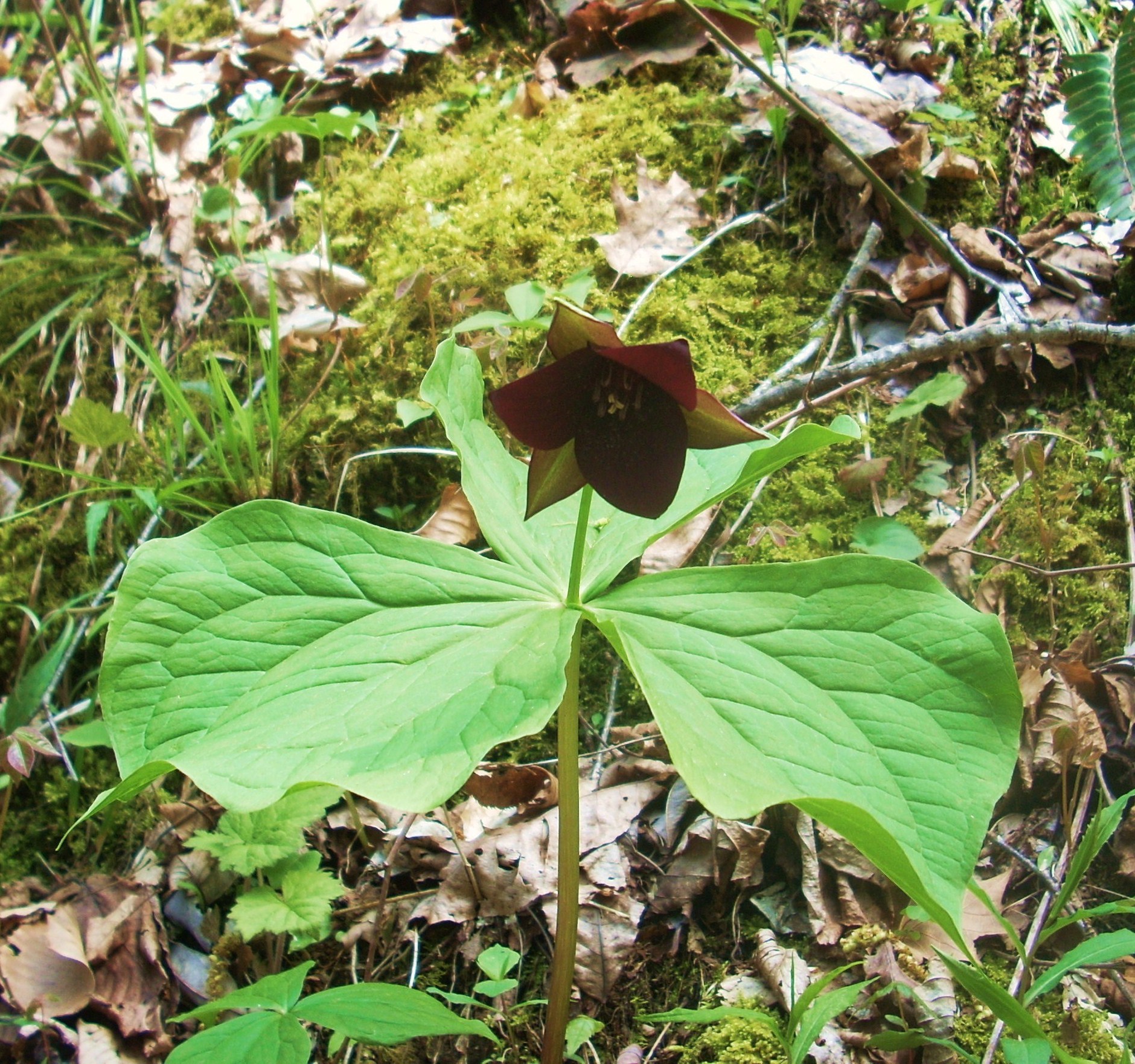
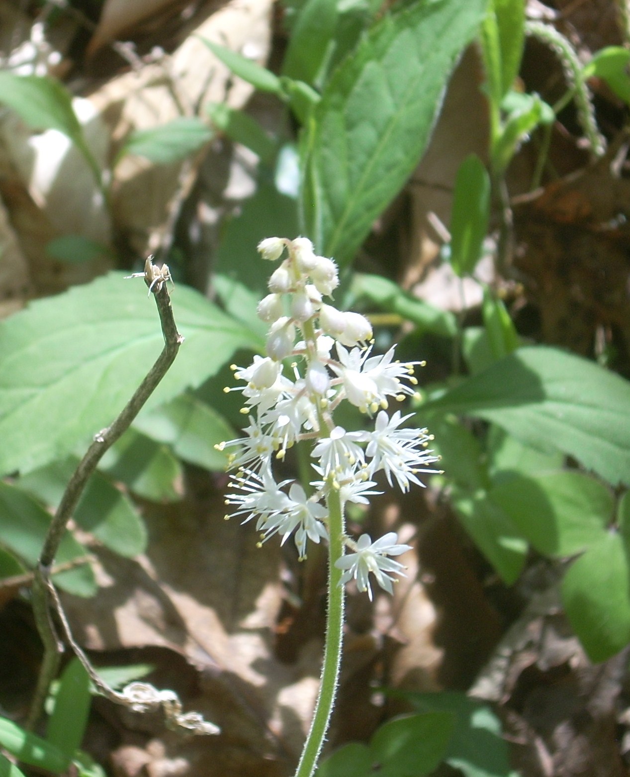
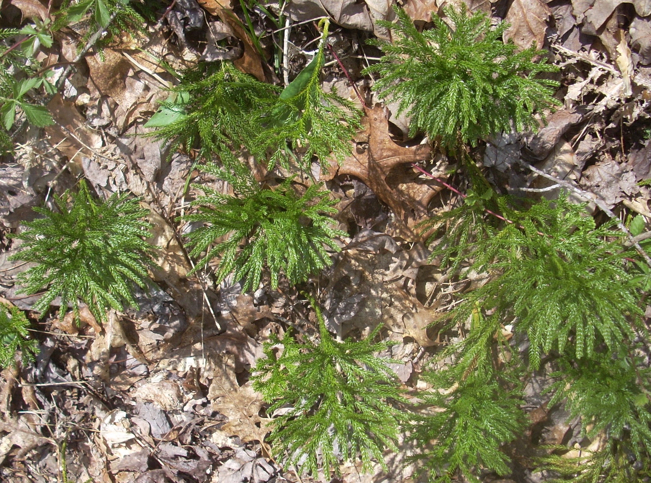
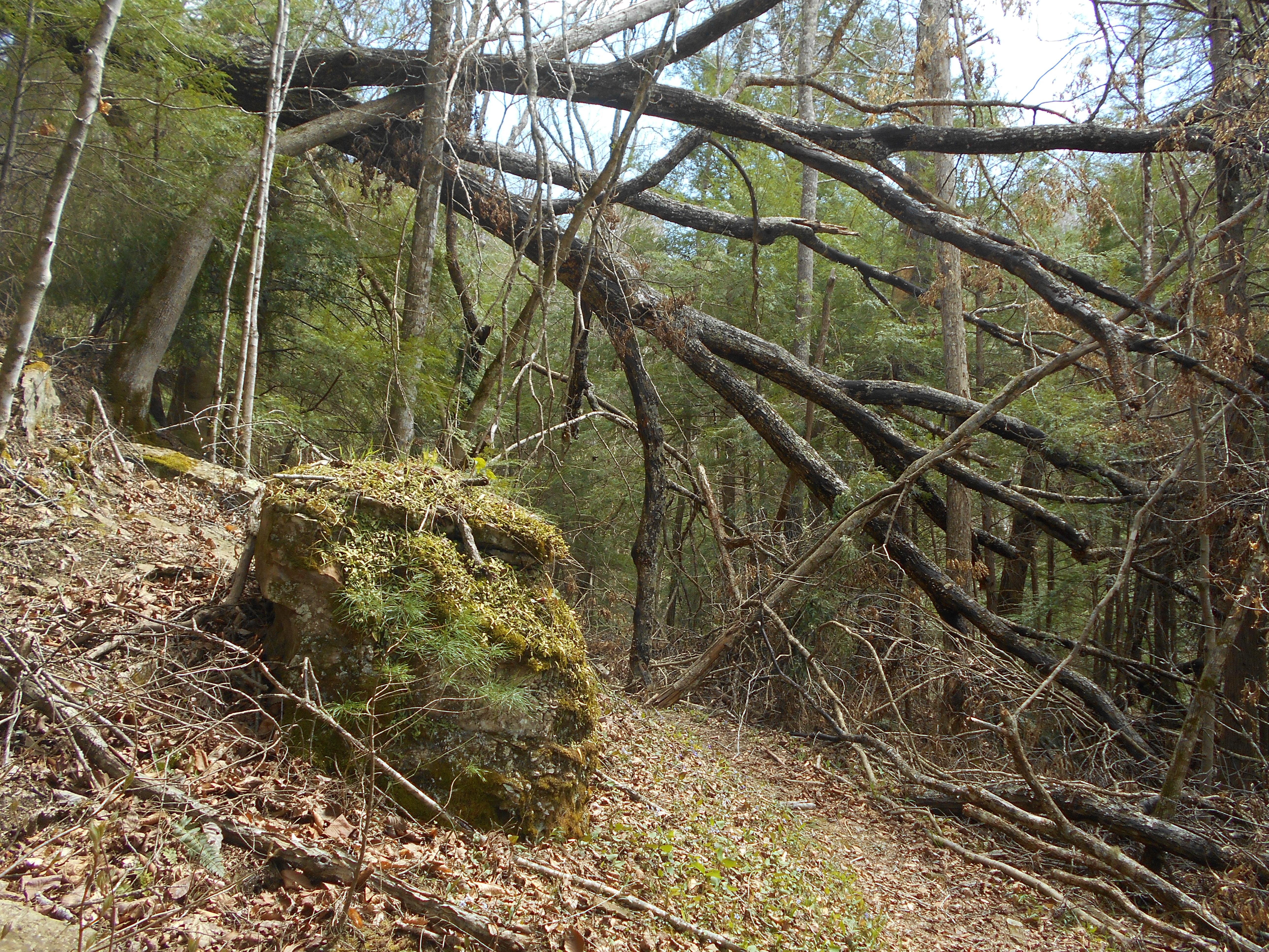
The path in here has some minor up and downs, but it’s generally pretty level and it makes for a great stroll amid the sounds of trickling water. In addition to the wildflowers in the Spring you might also note quite a few varieties of plants in general. Like the one in picture below. I'd not noticed some of these before on other hikes but I found them to be quite prominent out here...
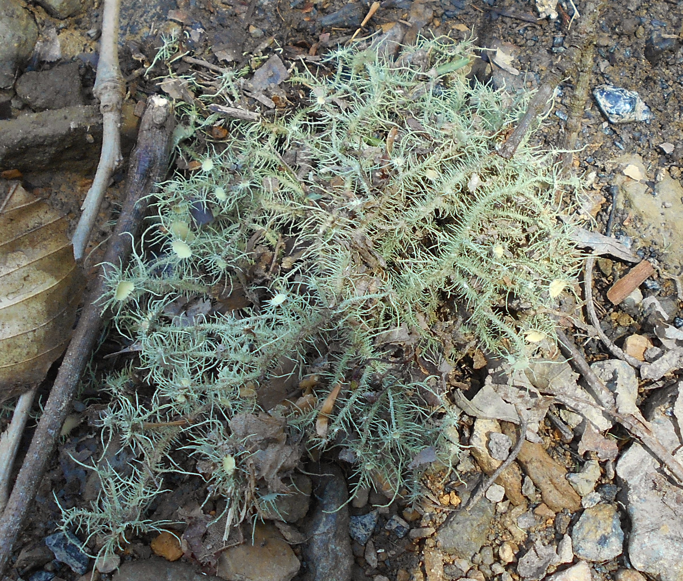
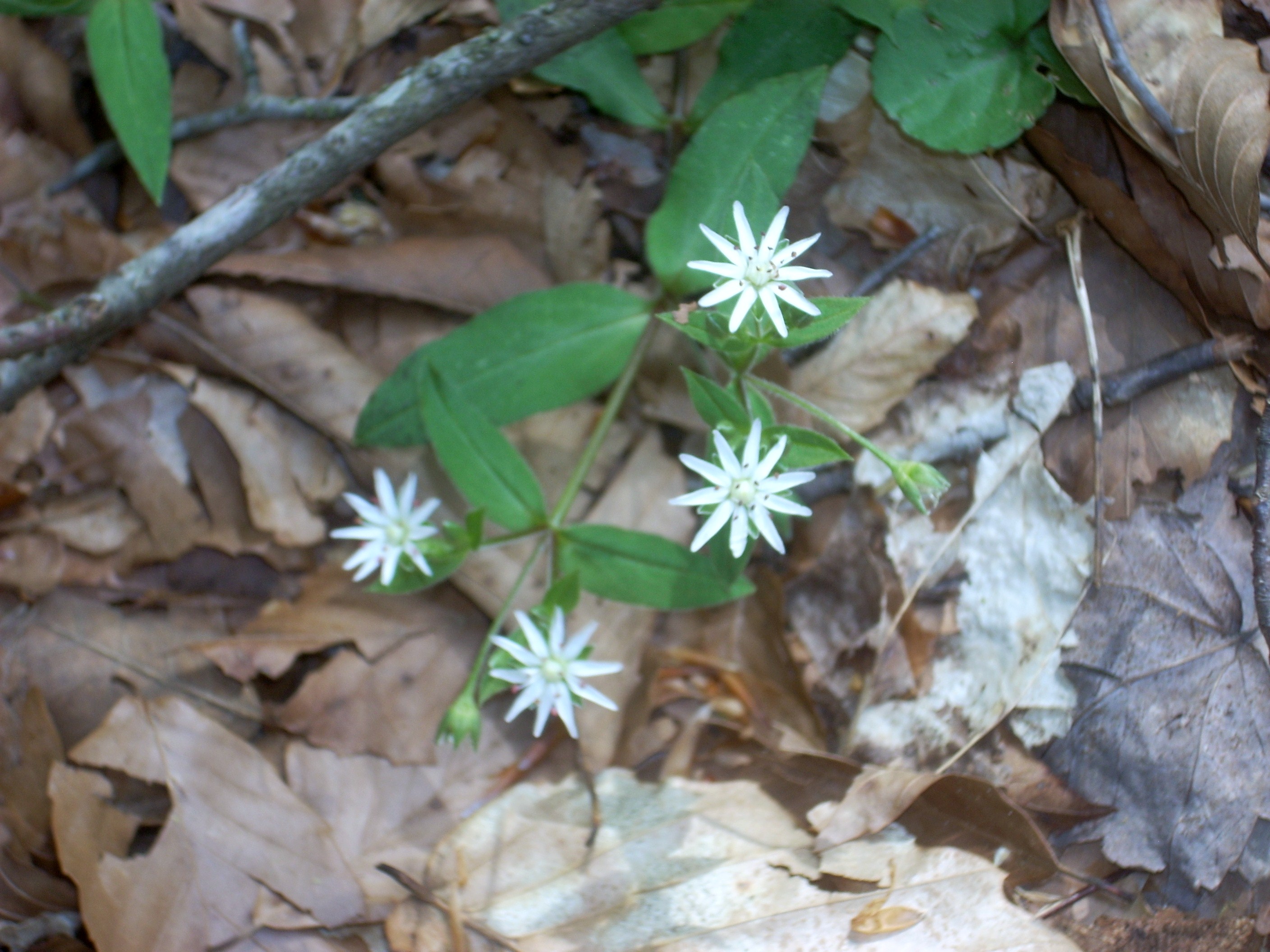
On a springtime hike you might also notice that forest foliage is beginning to re-emerge in earnest...
This area is positively spellbinding. On my second trip I stopped many more times to just stand in one spot as I watched, listened and let the experience etch itself upon my memory. What is most endearing to me are the spots in which people and nature have come together to create.

Not long after you’ve passed a third streamside campsite you’ll rise, cross a bridge, and then cross another after you’ve descended some steps. This is where Coffee Trail supposedly spans the creek and leads you to an overlook, but again, the water level on Rock Creek was really high today so I didn’t make this crossing.
Quite
soon you’ll meet with another intersection in the trail and this is where you’ll
shed both the Sheltowee and the John Muir as they make a right and cross the
water like the Coffee Trail did previously. You’ll turn left here to head back to your car
at the cemetery – but you’re about to get some work in. While there is a nice
rock shelter to cool off under along the way, you’ll actually be climbing for
the next ½ mile or so straight out of this valley.
When you crest out, you’ll be making what may seem like a familiar meander
through the woods along a grass-paved path; one which will gradually morph into a back-road until you finally reach the gravel road
you drove in on. Turn left here to reach your car in a little less than ½ mile.
DIRECTIONS:
I
took KY90 southbound into Monticello, Kentucky and then went through the
downtown area on 3106. Look for the intersection with KY167 (at a right curve in
the road) and make a left. You’re going to go about 27 miles on this road (which
will eventually become TN154 when you cross into Tennessee) and in the process
you’ll dip down and cross over a stream after making a tight “S” curve. This is
Rock Creek, where the John Muir Trail also crosses the road and from this stream
you’ve got about 4 more miles to go. You’ll pass the Pickett State Park entrance
in the process.
Then take a left onto Divide Road and from here just follow the signs for the Rock Creek Loop. In this stretch you’ll make one left turn and also pass one other John Muir Trail access point (this is actually where you’ll come out later). In total you’ll have traveled about 6 miles on Divide Road to dead-end at a cemetery ( Hattie Blevins Cemetery). The trail begins by heading north; in the direction the road would have continued.