West Branch State Park
Buckeye Trail around the Michael J Kirwan
Reservoir (West Branch of the Mahoning River)
Monday, March 27, 2012
State Park website with driving dirctions
U.S. Army Corps of Engineers website for the dam
I got the idea for this
hike on a drive down to another.
I’d passed this body of water, you see (I passed two, actually – the other was
Lake Rockwell) en route to Beaver Creek State park near East Liverpool, Ohio on State Route 14
from Cleveland. At the time I
wondered what it was... There was a
boat ramp visible, you see, and I like to paddle.
Well, it all led to the discovery of this loop around the reservoir.
The hike that follows
does have a little bit of road walking involved and it does run near some
houses, but those are the only real drawbacks - if you’d consider them as such.
I’d check in at the ranger station on this one, though, and bring a can
of Halt! (or the like) as a precaution. I did arouse the suspicions of a
couple dogs near one of the residences.
They must have been tethered as they didn’t come at me but it's always
cause for a little anxiety. You
don’t want to get bitten on any hike.
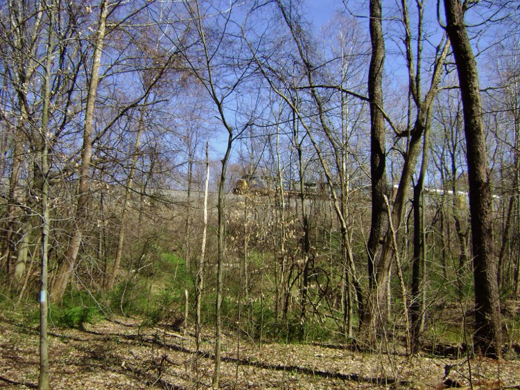
I parked in the lot for
the same boat ramp I’d originally seen right off OH14 and proceeded to walk
northeast along Knapp Road. The
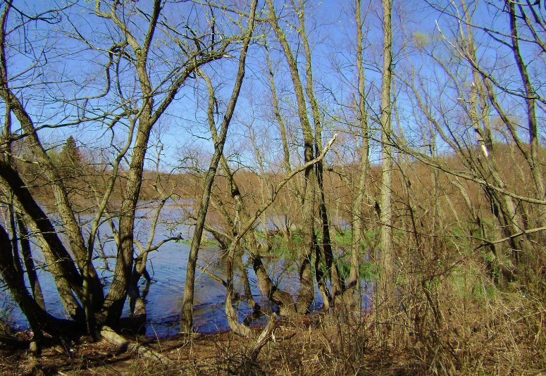
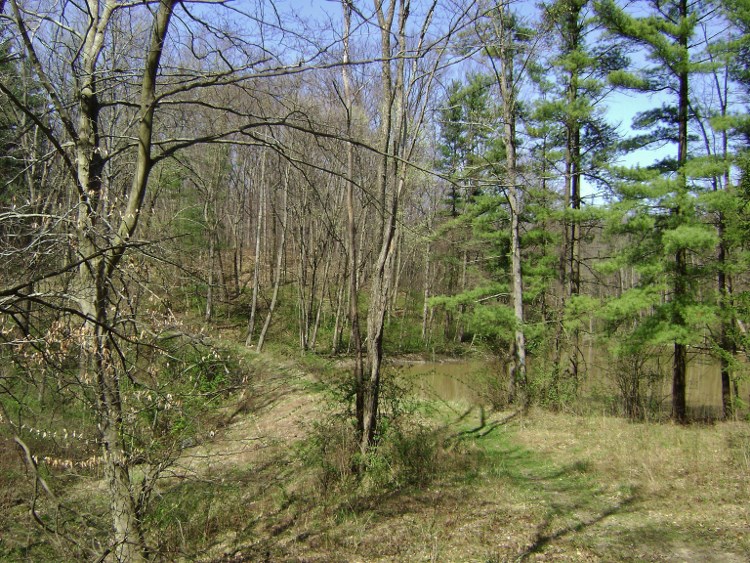
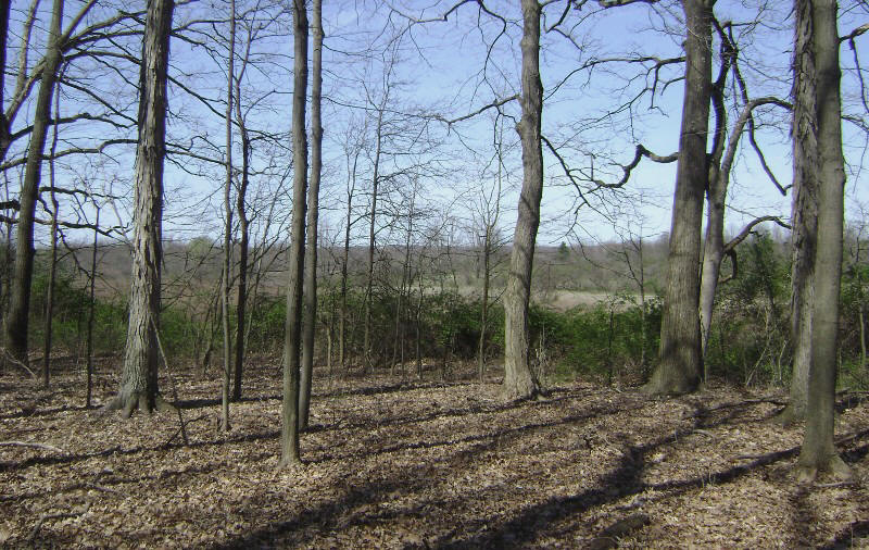
lake will be on your right at this point and you’ll get some nice views…
At one point in here I was mid-way past a guard rail when I saw a trail break off toward the lake. I doubted that the path could possibly begin at this point yet – the cutoff wasn’t supposed to be for a while - but I wasn’t completely sure. I followed it. It led toward the lake on a very thin strip of land and part of the way down I was startled by a loud WHHOOOSH! What the heck?!? It was a mother goose sitting atop the eggs in her nest... I guess I startled her as much as she startled me! I cut this particular out-and-back short and went back to the road out of consideration for the spirit of the animal.
Anyway, back on the road you’ll pass one roadside pull-off and then a second one which is at about the same point as what looks like a very nice farmhouse across the road. It was here that the path finally led to the right into the woods. There was a signpost here with a “No Horse” image. Take the right to start the path, staying along the lake shore. Your way will be marked with blue blazes and you’ll actually be following the Buckeye Trail now. Apparently this park trail system connects with that grand 250 mile loop around the state.
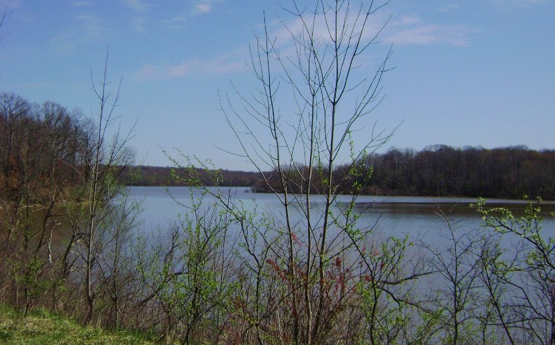
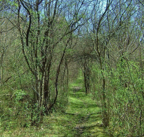
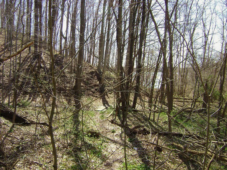
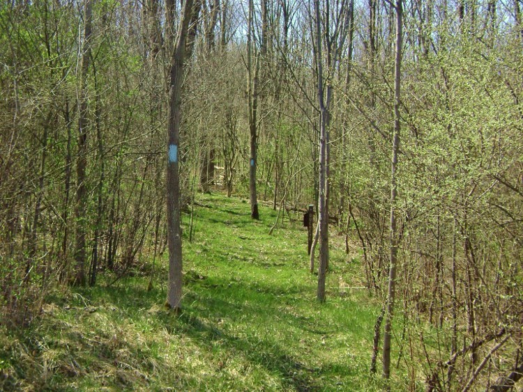
Anyway, most of this
first section of the path will have you walking through what looks like a newer
growth forest as you’ll find that little trees and shrubs
abound. I’ll bet if you waited
another month the walk through here would be like walking through a tunnel of
green!
Continuing to follow the
contours of the lake at this point, I was soon to attract the attention of those
dogs I mentioned and, thus distracted, I briefly lost the path. I quickly regained it by simply following along an
old roadbed that shortly led me past what looked like an old picnic shelter.
Here there were some more nice, although limited, lake views.
Shortly you’ll pass under
some power lines to then curve left and away from the lake into another little
ravine, at the back of which you’ll encounter some train tracks.
The path actually winds back to meet them before it curves under and
alongside them. This is an
interesting point but you’ll probably want to watch your step!
Now, once you come out of
the ravine, you’ll begin to ascend alongside the lake as the trail curves left.
Here I actually caught sight of an oil well through the foliage!
Pass through a power line
clearing now and the trail will split.
For this hike keep following the blue markings (I think the other path to
the left is a horse trail) but what ensues is a pleasant forest stroll, near the
end of which you’ll see some water ahead.
This area seemed especially picturesque today and I was thinking:
“I sure hope the trail leads down there!”
It eventually did.
Kind of…
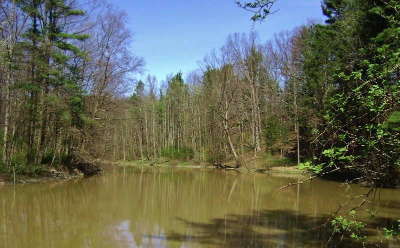
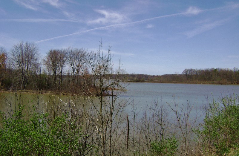
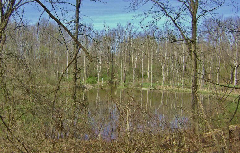
This little body of water
actually turned out to be a little pond where the water flow had been blocked by
what appeared to be a small levee. The spot reminded me of a similar pond on a trail at the John James
Audubon Park outside Henderson, Kentucky.
What a pleasant location this is!
It was very hard for me to detach myself from the spot!
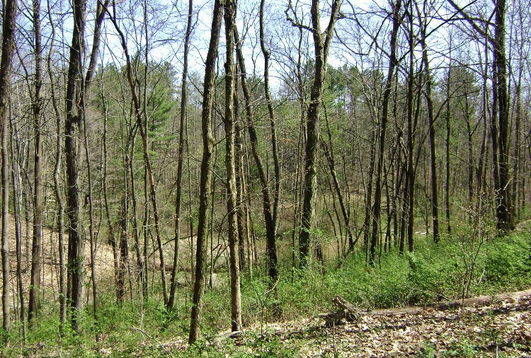
From this point you’ll
find yourself passing through a succession of forests.
First will come a corridor of pines and then you’ll be in the midst of
some newer growth forest which, in turn, will be followed by another corridor of
pines. It was in here that I
noticed an interesting box marked “BT” along the trail.
What was it for? Well it
looked like some sort of mailbox of the type that sometimes contains little
flyers for a trail, but I didn’t find anything in this one today.
I’d see one more of these.

Soon you’ll cross a wooden bridge on the path where
you’ll find yourself directly beside the lake in the midst of a little cove.
They’ve got some picnic tables set up among some shade trees here and
the spot makes for a very nice stop to rest if you wish.
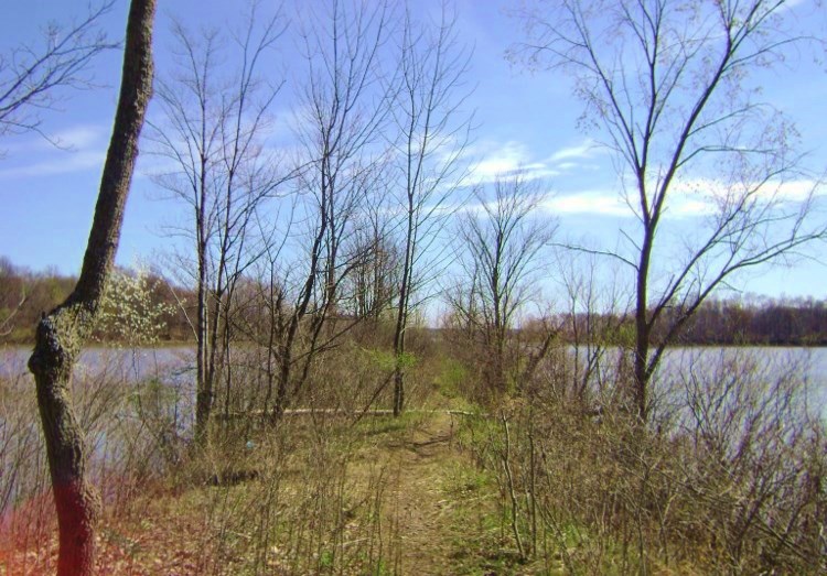
From here you’ll continue to the end of a little
peninsula where you’ll see a boat launch area.
You’ll also see a road that crosses over the lake.
You’ll be following it.
This is Rock Spring Road.
On the other side of
the lake you’ll soon see that the Buckeye Trail markings indicate a right turn.
You may already know this, but turns on the Buckeye Trail are indicated
by two blue rectangles. You’ll see
one and then there will be another on top of it, but this second one will be
drawn just to one side of the original.
The direction of this second one – left or right - indicates which
direction the path turns. In this case the direction was to the right.
There was another one of those “BT” (Buckeye Trail) boxes here too.
Nothing in this one either…
The path will now go
through a very short section of woods to then cross another road – West Cable
Line Road. You’ll then catch the
path again directly across the way.
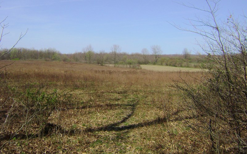
This is a nice woodland stroll and at one point I saw what looked like a very
old, metal hunters perch followed by a large field.
I thought the latter was a pleasant interlude from the woods…
Continuing ib my woodsy
stroll I began to ponder a familiar dilemma.
When you’re close to civilization you want to keep as quiet as possible
so as not to disturb anyone or attract attention.
When you’re in the wilderness, however, (and especially when you’re
alone), you want to be a little bit noisier so as to warn away any potentially
dangerous encounters. Since I
adjudged at this point that I might be entering portion of the park that
appeared to be closer to the latter, I made the decision to leave my keys to
dangle on a belt loop. In this way
they’ll jangle around and give fair warning of my impending arrival to any wild
dogs (coyotes, wolves), wild cats (bobcats, cougars), bear or even - possibly -
snakes.
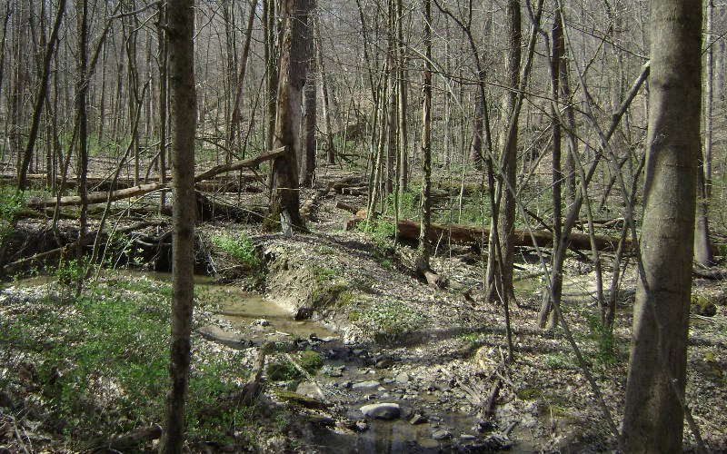
On this side of the lake
you’ll be undulating up and down many little ridges which, in turn, will have
you dipping into the many little streamlets which help make up the Silver Creek
and then the Bixon Creek basins.
You’ll want to be careful in here.
The path is well marked but it can sometimes become a little confusing when
you’re passing along a particularly curvy section of trail like this.
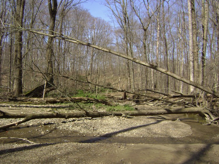
There was one point, too, where a large deadfall obscured the path and it
took me a time to discern which way to go.
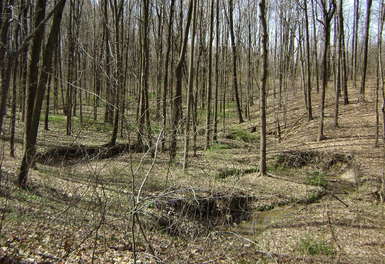
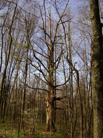
I found the old tree
below to be interesting as it seemed to be much different than all the rest.
It looked ancient with a lot of character…
At one point, too, I
stopped to take a closer look at some algae growing in the streambed.
It always amazes me what awesome patterns life forms…

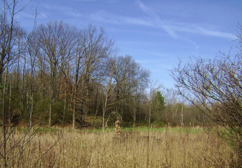
When you begin to find
yourself on a slight climb along a grassy green path you’ll know that you’re
about to exit the woods (you’ll probably have already heard the traffic of
Route 14 by now). Before you do this, however, you’ll get some of your most pleasant
scenes of the day. It really looks
like a bird sanctuary in this low-lying area.
Check out the huge herons nests atop the trees!
When you emerge onto the
road you’ll want to take a right and follow it (on the right hand side) back to
your car. This road IS well
travelled. Please be careful!
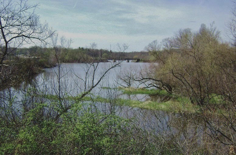
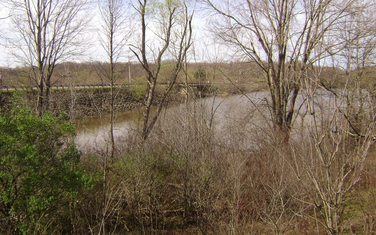
You’ll see the scene below as you get near to where you parked. Walk along this road and then you’ll see the parking lot on your left after a short walk.
DIRECTIONS:
This nice park is located
just southeast of Ravenna, Ohio on Ohio Route 14.
I didn’t use the main entrance; I simply parked at a boat ramp parking
lot just off Route 14. If you’re
coming from Cleveland what you’ll need to do first is get to Ravenna and you can
do this two ways – by coming in via 271 South (which turns into Route 14 as it
comes into Streetsboro) or by taking exit 187 off Interstate 80 and then heading
south toward Streetsboro (which will also put you on Route 14 toward Ravenna).
From Streetsboro you’ve
about another 15 miles to go. Pass
Route 5 and start looking for the lake – it’ll be on your left if you’re coming
from this direction. Once you see
it, keep a sharp eye out for Knapp Road.
This is the one you’ll take a left turn on to reach the boat ramp which
is only about a football field distant.
The path starts by heading