
Cuyahoga Valley National Park
Buckeye Trail from
Brecksville Stables to
?
(A semi-cleared ridge top about 3 miles out,
then return)
Tuesday, March 20, 2012
Cuyahoga Valley
National Park Website
Wow.
I’ve been on the trails 3 times now in the
Cleveland area and each time the trails have been muckier than the last!
Granted it’s spring and the rain in king, but
before I go out on a hike I like to wait until the trails are somewhat dry so I
don't mess them up too much. From now on I think I'll wait for a few sunny days
in a row before attempting this little jaunt! There are spots out here that
were just plain sad to see today with wide
swaths of trampled areas where people have sought in vain to find ways around
the mud.
Nonetheless, this really is an
incredibly nice area to explore when it's a little more on the dry side.
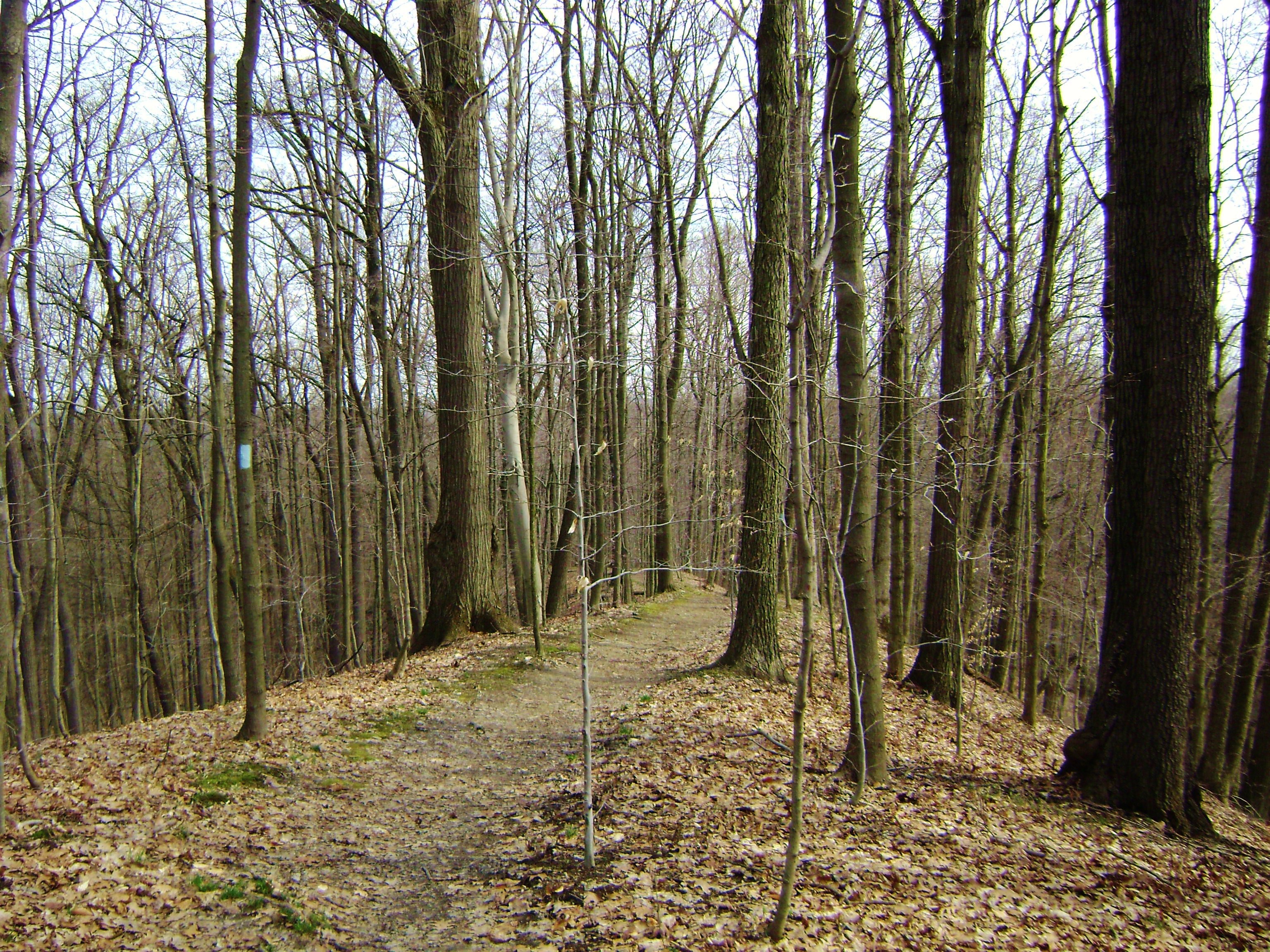
This particular section of the Buckeye Trail
will have you meandering around myriad ridgelines that welcome you with views
down into an equal number of forested valleys. This time of year some of these
are in
the process of being re-carpeted for the spring in a beautifully fresh green!
My intent today was to go
almost twice as far as I eventually did.
I had wanted to follow a lollipop loop path
starting out at the stables, to then make a circle around the park via parts
Buckeye Trail and parts Valley Trail.
This would also have taken me by the park
headquarters down in the valley of the Cuyahoga River, but I called it quits
early out of respect for the trail.
I guess it was just as well that the park map
I’d brought with me fell out of my belt about a mile in.
Anyway, I began by walking
back down the stable road that I’d just driven in on.
This is off Riverview Road (see full
directions below).
It was here that I spotted the blue markings
of the Buckeye Trail across the street at about 1 or 2 o’clock mark.
The path will first lead you briefly into the
woods to give you a little preview of what you can expect today…
The path will then come back near
Riverview Road to take you on another quick little left arc around an unnamed
waterfall just before you merge
with a little lane that will take you back to Ottawa Point, a reservation-only
campground.
This is an incredibly nice spot to have a
get-together!
In fact, I didn’t realize it until later but
while I
was walking through I was thinking that the spot looked
awfully familiar…
I eventually realized that this was the very
spot where we used to have our spring parties when I was going to John Carroll
University!
We’d driven all the way out here because this
spot was so ideal – and I’d forgotten about it!
The clearing was always a great spot to play
softball and there’s also a picnic shelter here.
[NOTE:
The road for this campground was closed today and it could
be this way all the time so I wouldn’t expect that you’d be able to use this as
trailhead parking at all times.]
Anyway, as you walk down the
campground road you’ll soon catch sight of the blue-marked path again at about
your 1 o’clock point off the parking lot and this next area was one that I
found to be especially interesting.
At first you’ll be travelling through the
woods along one side of a ravine.
Then that ravine will be joined by another
that emerges on your opposite side and you’ll begin to descend on a thin little
strip of land directly between the two.
Here you’ll be witnessing a
slow transformation.
The ravines will gradually get smaller and
smaller, to become gullies and then mere ditches by the time you reach the
bottom where the two streams that form them meet.
It does look as though there’s a spur trail
which leads straight ahead toward this stream junction, but it wasn't marked
today.
Instead, the Buckeye Trail nearly doubles over
on itself over your right shoulder.
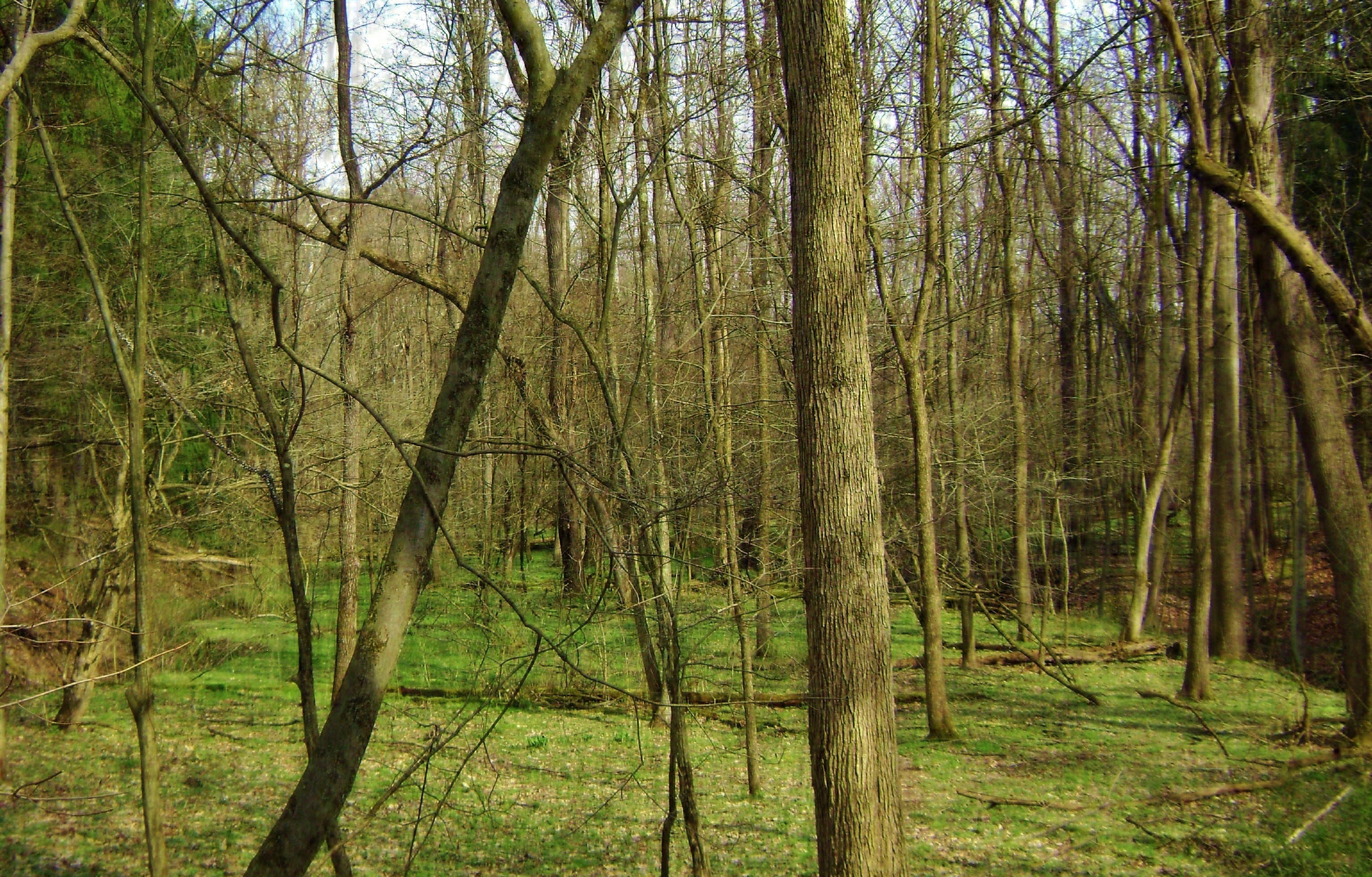
I had to check out the spur
path at least a little bit though, because all the way down I was catching
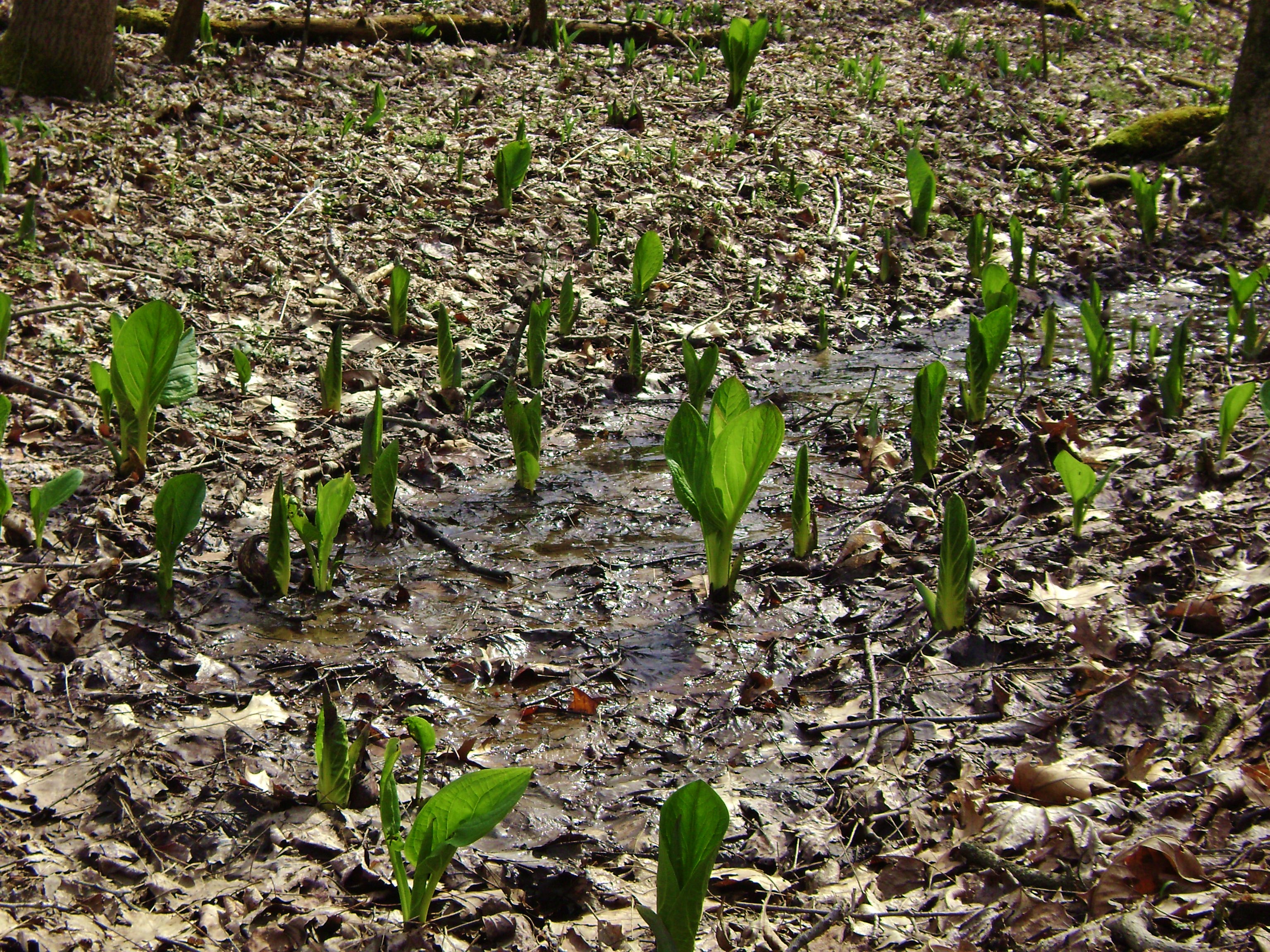
glimpses of this lush green area through the trees.
It had been like an oasis waiting for me
ahead, but I didn’t go too far.
I didn’t want to mess up any of the new
carpet.
:) I did, however, get far enough to take the
picture below…
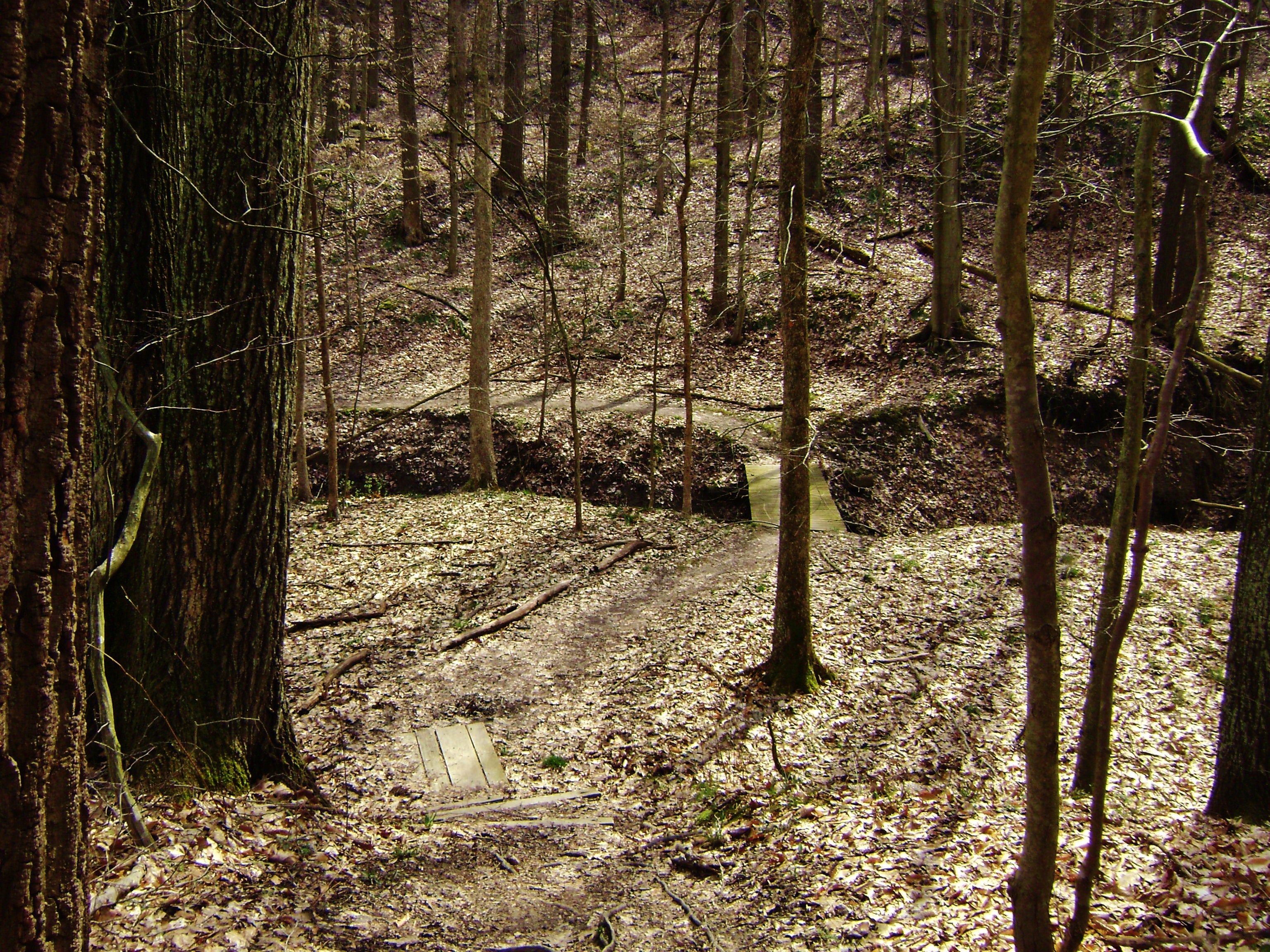
At any rate, once you return to the main path you’ll be in the midst of a fairly sharp left arc around one of the gullies. It’s in the middle of this arc that you’ll cross a bridge over one of the streams. Isn’t it amazing how much a tiny stream like this can erode such a path over a period of time?!?
Near the end of this arc
you’ll have some options.
You see, there’s actually a circle that forms
in the trail system here which you’ll be able to see on the map.
First you’ll meet up with a trail that breaks
off to the right but you can also keep straight if you want.
It doesn’t really matter; you’ll still wind up
alongside a very old roadway which is actually a former
continuation of Parkview Road. For whatever reason it was blocked off some time ago.
Things got a little confusing here.
Near as I could make out there are 3 options:
Option 1:
Take a right on the old road and keep
following it.
You’ll eventually find yourself on Parkview
Road at the point where it meets up with the road you drove in on – Meadows
Drive.
Take a right on Meadows and you’ll soon be back at
the stables.
Option 2:
Make a right on the old road and then make a
left onto the Bridle Trail intersection you’ll soon come to.
This path looks like it arcs around to the
left, to eventually meet back up with the Buckeye Trail.
This is the way I’d go if it’s muddy in the
spring because you’ll avoid much of the swampy area that I eventually trudged
through by virtue of choosing option 3…
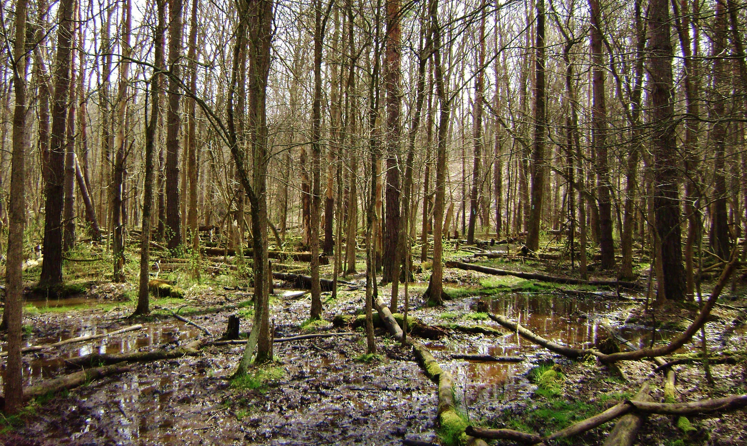
Option 3: Take a left on the old road. It’s actually quite a beautiful thing to see how nature has reclaimed this, isn’t it?
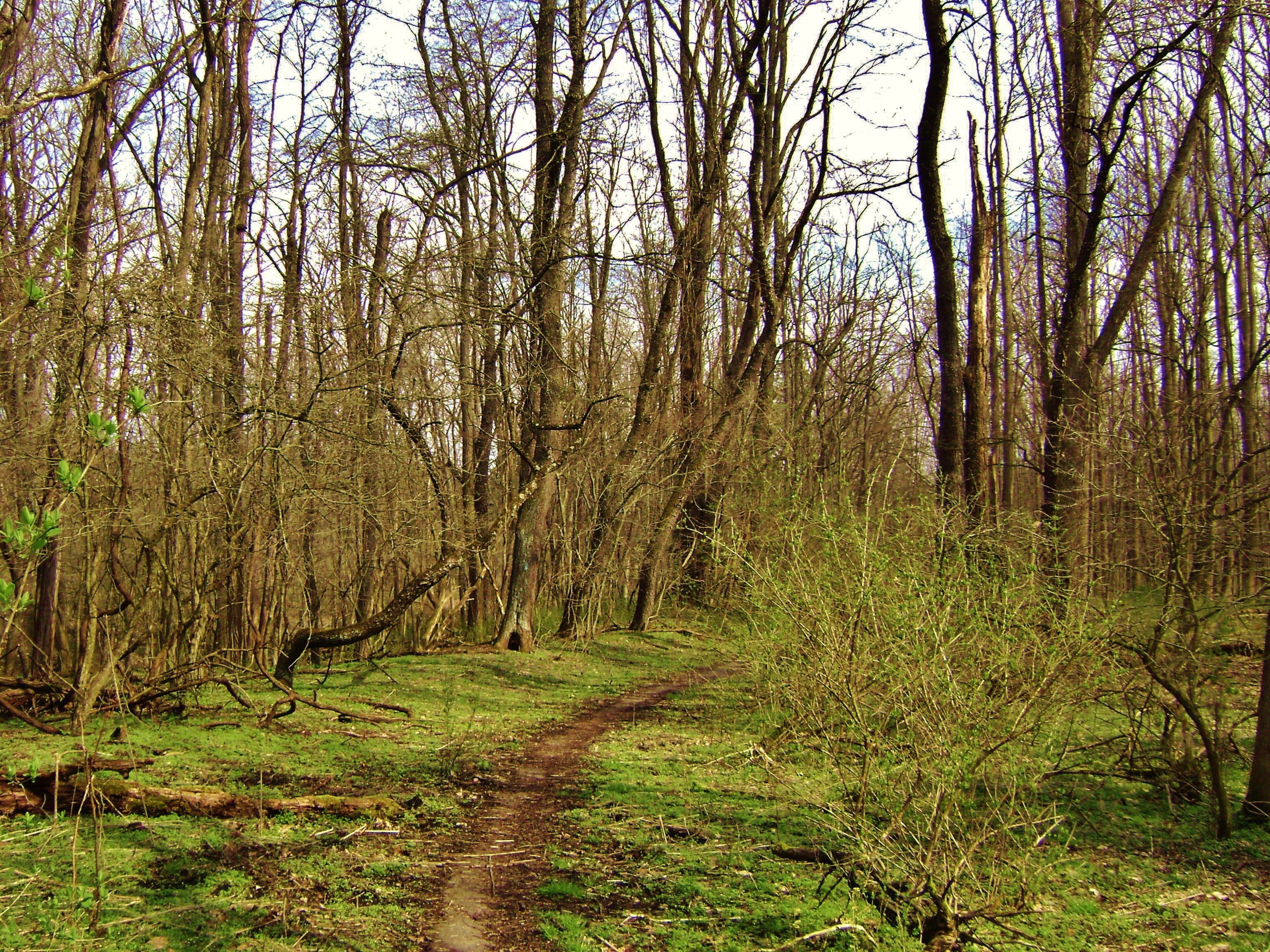
You’ll be curving right here and when you reach a white “Keep out” sign you’ll be at another trail junction. I made a sharp right here and went through the aforementioned swampy area to stay on the Buckeye Trail but I think if you went straight you’d be on the Valley Trail. I'll ascertain that next time and make an update. Anyway, on to the swampy area I mentioned...
By the time I’d emerged my
feet were completely soaked but I did find the area to be very intriguing.
There were numerous tiny ponds on either side
of the trail, you see, and
every time I came upon one I heard the “splashings” of little creatures as they
jumped in to escape my presence.
Frogs?
Newts?
…Snakes…?
Probably all!
There were other signs of wildlife too, with
tracks in the mud that could have been just about anything to include coyote. I did see signs – both here and at the
Brecksville Reservation – indicating that they do inhabit the area.
They’re supposedly pretty shy, but if you do have an encounter it’s
recommended that you do the same thing you would if you were meeting any other
kind of wild cat.
Slowly back away while FACING
the animal and look as large as possible. If that doesn’t work then be
ready for a battle.
I always bring a can of Halt! with me just in
case. A good spray in the eyes might be helpful.
At any rate, you’ll cross a little stream at one point
and it was here that I spotted some interesting plants budding – and were they ever set to
stake an early claim this area!
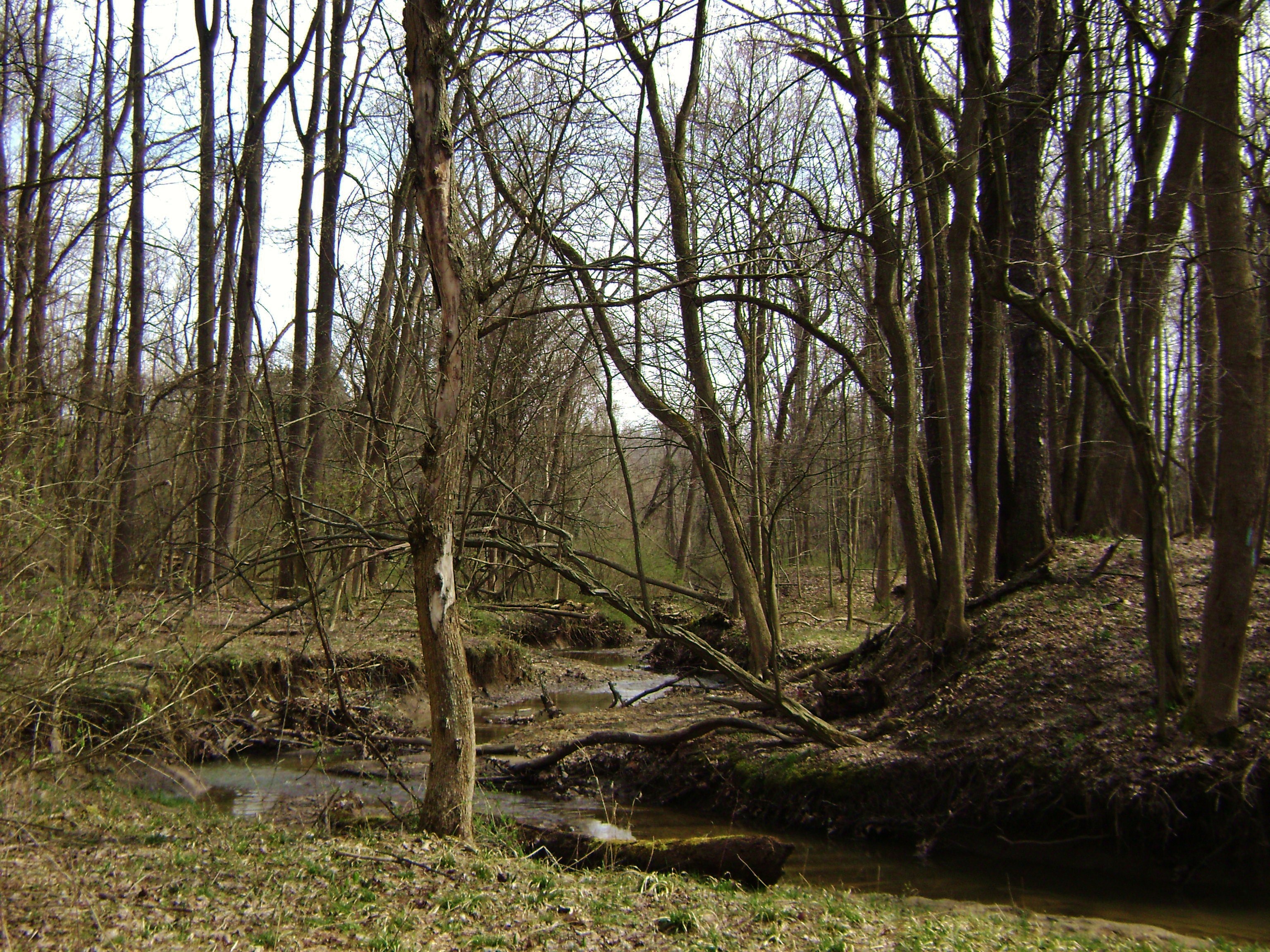
Cross the stream and meet up with another intersection. I believe this is where that Bridle Trail comes in from the other side of the loop on the map (remember my “Option 2” above…). Take a left to continue through the swamp. This truly is an amazing area that I would have enjoyed a lot more were it not for my trail concern.
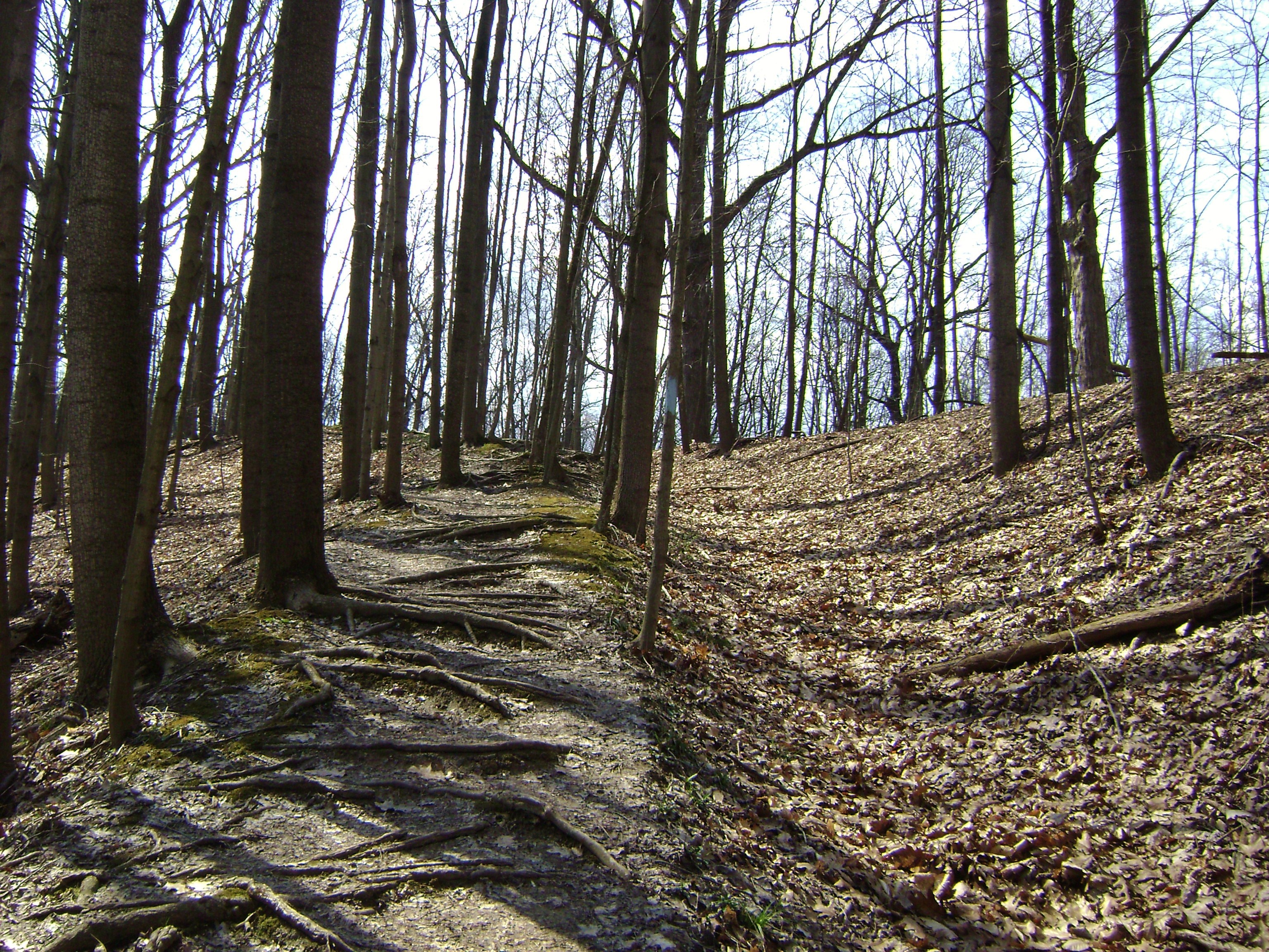
Cross another little bridge and you’ll finally
begin to ascend again. You’ll climb to the top of a
ridgeline, follow it for a while, and then descend into (and back out of) another
ravine while making a stream crossing in the middle.
Note
that on the second ascent you’re following another old (logging?) road!
Check this out…
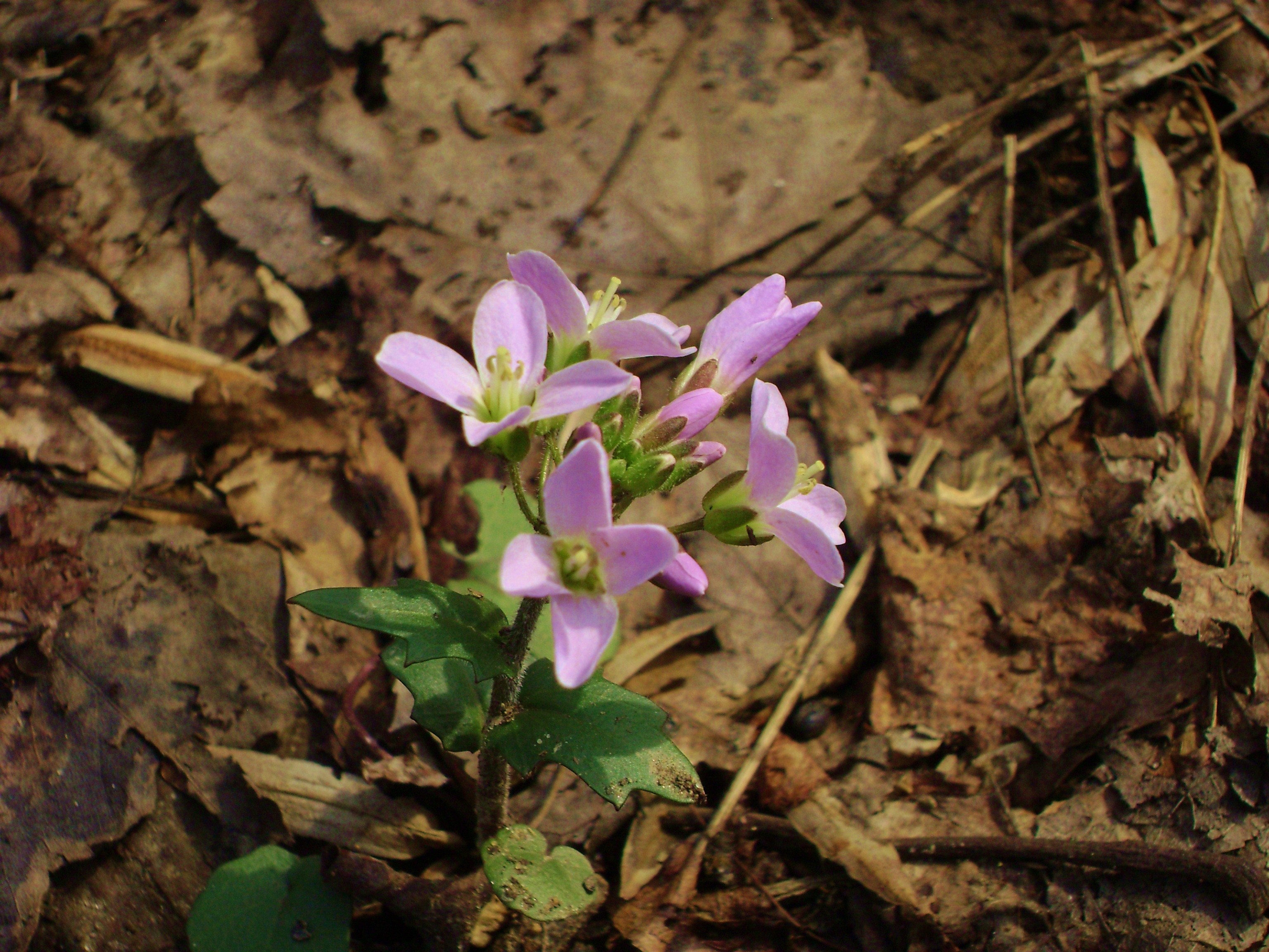
…and a spring flower for you,
gentle reader!
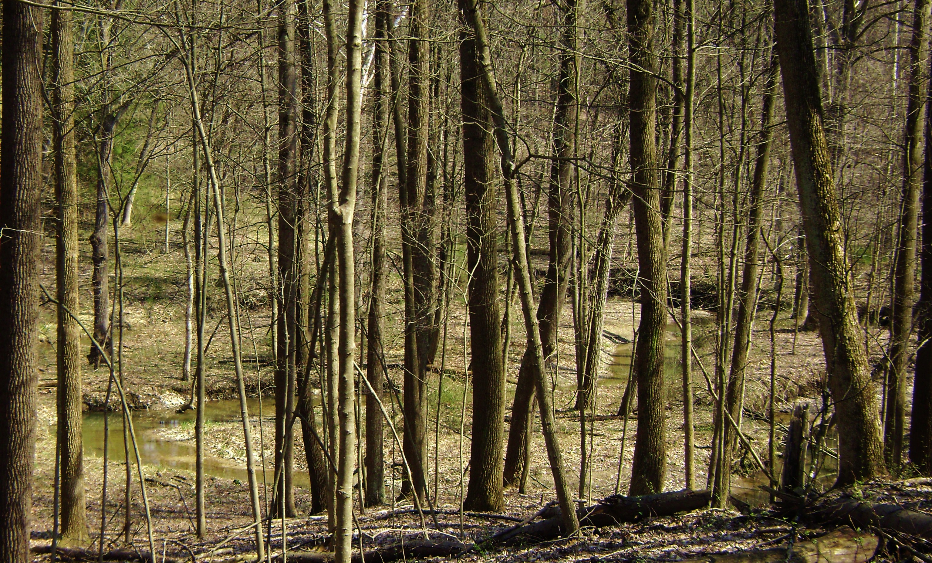
Now pass down into another ravine where you’ll catch glimpses through the trees of a wildly meandering stream, a stream which you’ll eventually pass over prior to making your final ascent.
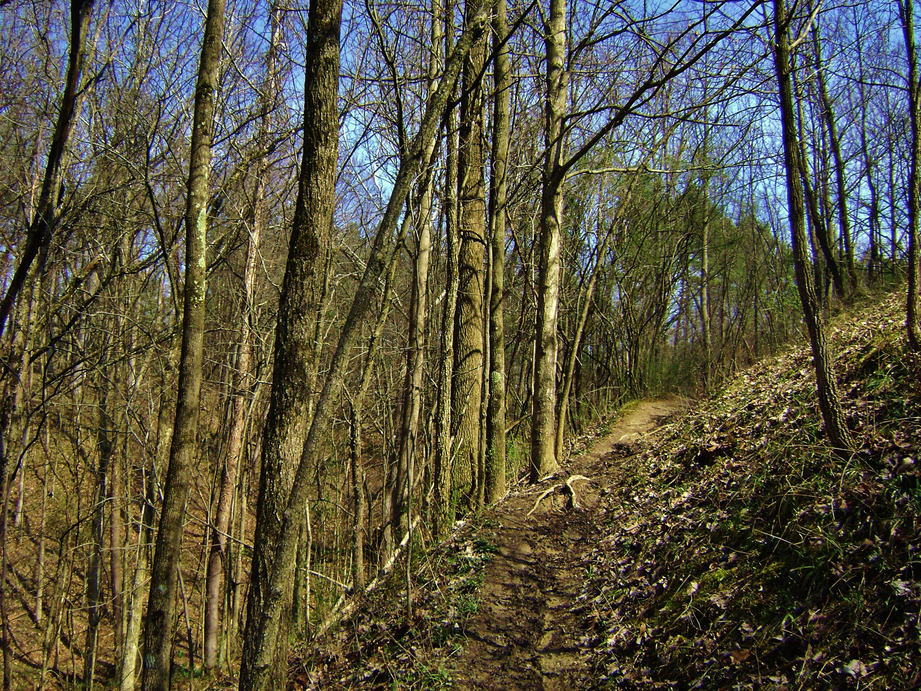
This climb is marked by a great section along
which the trail comes very close to going over the edge of a gully, but when I
got to the top I was in for somewhat of a surprise.
I thought for sure the higher areas would be
dryer.
I was wrong, so at this point I hadn’t the heart to go any further.
I headed back.
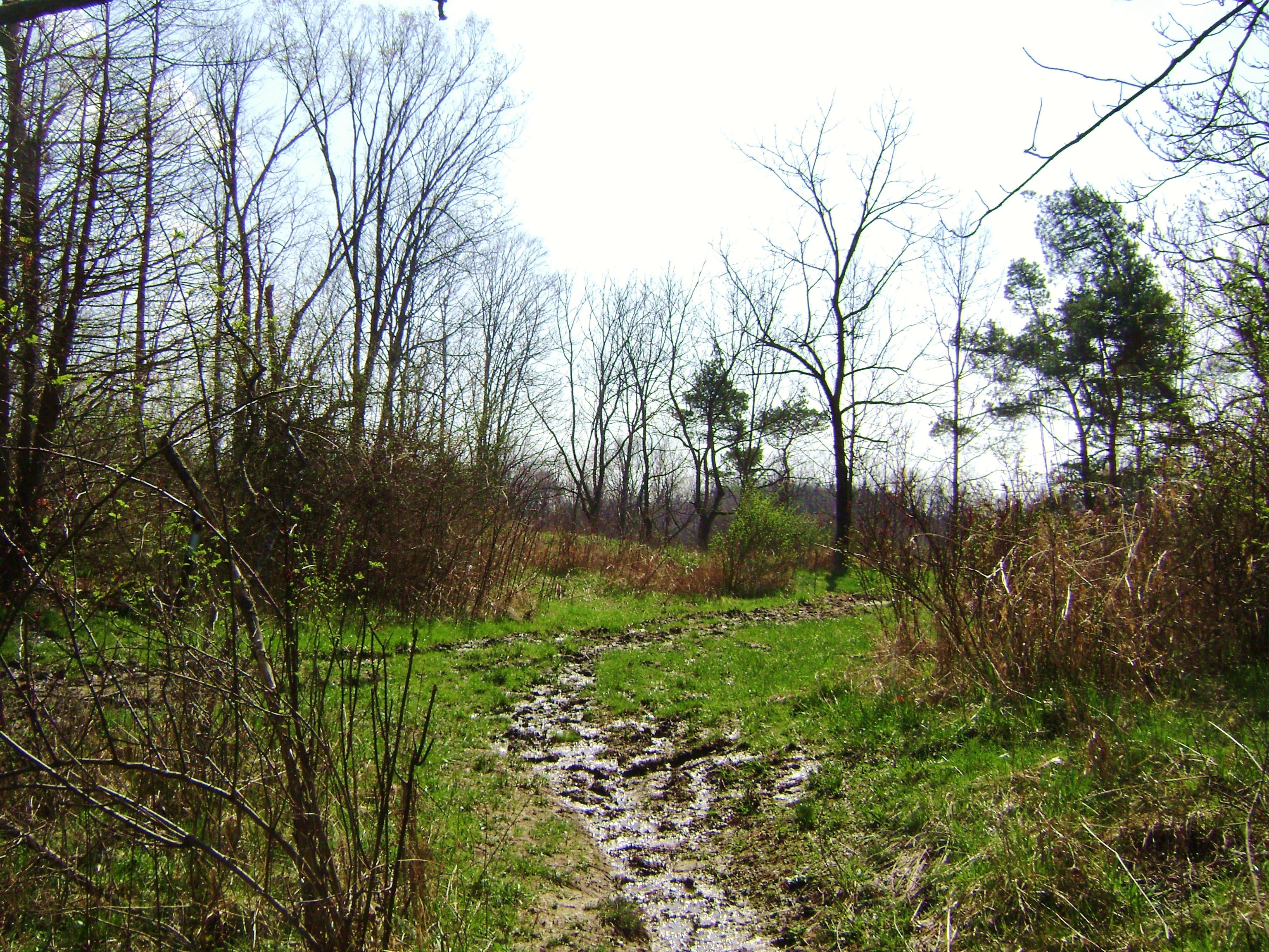
I
believe I was at the point in the Buckeye Trail where it’s just south of the
Spring Hill Farm and Market – the same point where the path forms what looks
like the tip of a bird’s beak if it was looking to the right!
I hope to return soon to see more of this Cuyahoga Valley National Park!
DIRECTIONS:
Quite easy.
Just take Ohio Route 82 eastbound toward
Brecksville off I77 south of Cleveland.
Then cross Brecksville Road (Ohio Route 21)
and then make a right after passing the shopping center.
This will be Chippewa Road.
Take the first right onto Meadows Drive and go
2.4 miles to find the Brecksville Stables complex on your right (you’ll cross
over Valley Parkway in the process).
Park, head back toward the road and you’ll see
the blue markers of the Buckeye Trail at about 1 or 2 o’clock on your dial.