Schramm State Park
Recreation Area
Trail 1 and 2 Combo
June 30, 2010
z
I was to find out that it's pretty amazing how much they have to offer per square acre here! There's an aquarium, an old fish hatchery (which I can only describe as delightful), about 3 miles of hiking trails, a camping area and plenty of summer activities for the kids to include canoeing and archery.
The park can be reached via Interstate 80 just southwest of Omaha, Nebraska on Highway 31. Just follow the sign for in on the road or see the above website for directions. There are a few entrances, though, so it can be a little confusing. I drove around aimlessly for a little while before parking in the Ak-Sar-Ben parking lot (I thought the name might be an American Indian one but it's actually Nebraska spelled backwards!) I then stepped inside the aquarium facility and was able to get some better direction along with a trail map.
From here I went back to the parking lot and then headed down the park lane toward a little triangular pond, Here I saw what looked like a couple dozen children trying out canoes. The trailhead for this hike is located just behind this pond as you turn into the woods and I'll note that both the trails here are loops which together look somewhat like a figure 8. I began on Trail 1 which is the loop at the bottom of the figure. This particular trail has 23 markers which help to delineate the different kinds of flora and some the their attributes, so you'll definitely want to get the map at the aquarium because it provides the corresponding narratives. My only regret today was that I couldn't stop and appreicate these markers enough because of all the gnats and mosquitoes. By the way, the trails here aren't generally that steep but there are some moderate climbs at the beginning and end.
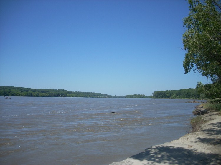
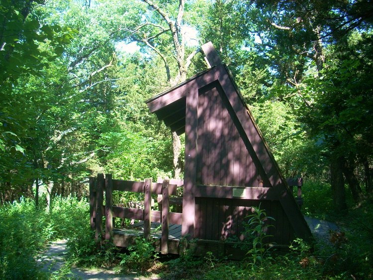
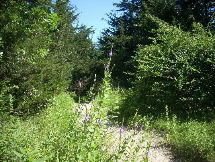
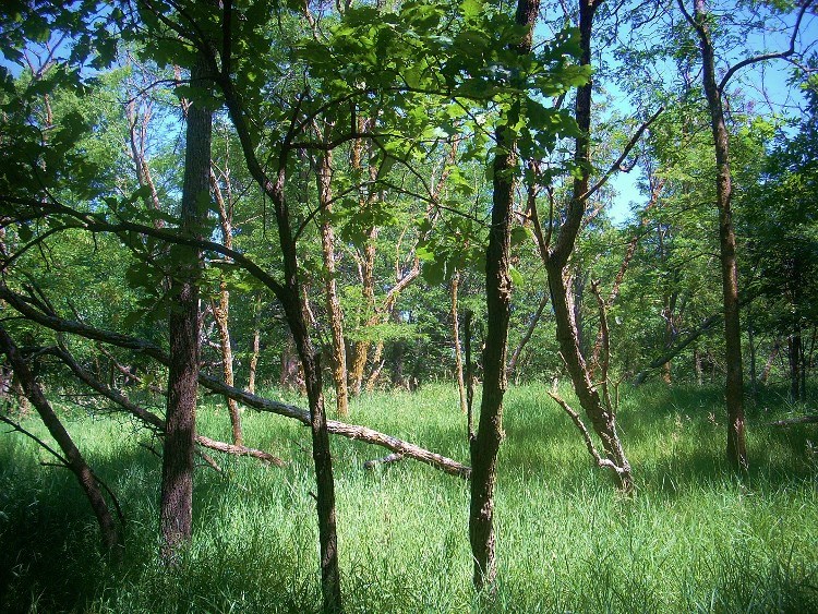
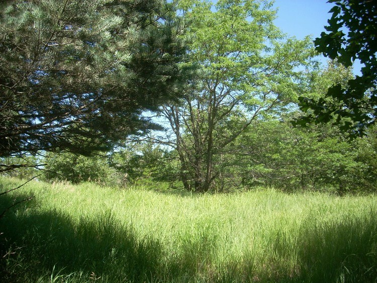
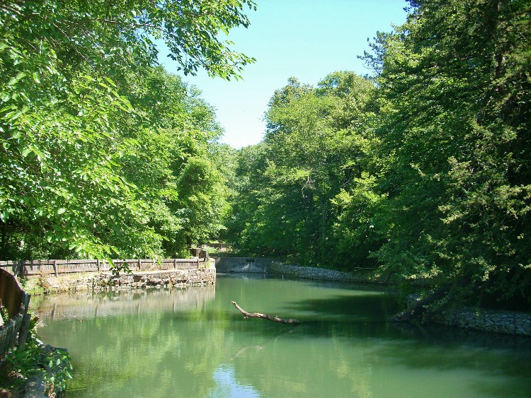
It's at this point that my original narrative was lost. I wasn't able to recover it, nor have I ever been able to return since I live so far away now. Below are some scenes that you're likely to see here...
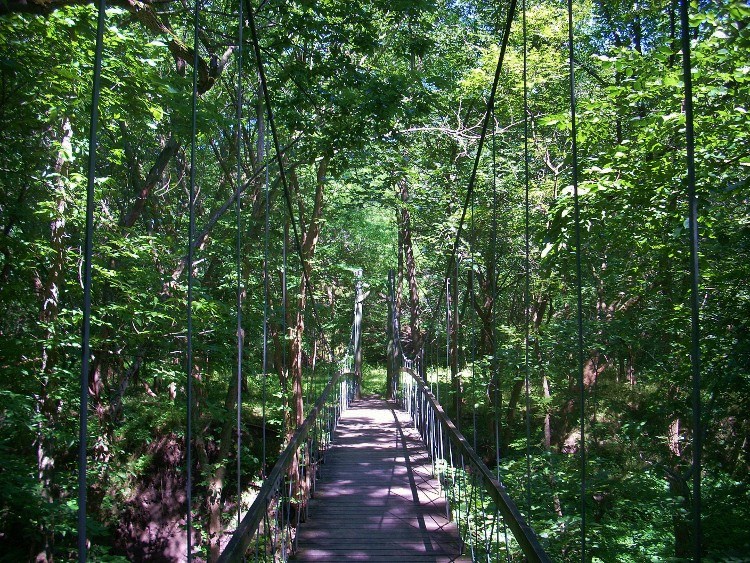
A trestle bridge!
Here's the fish hatchery...
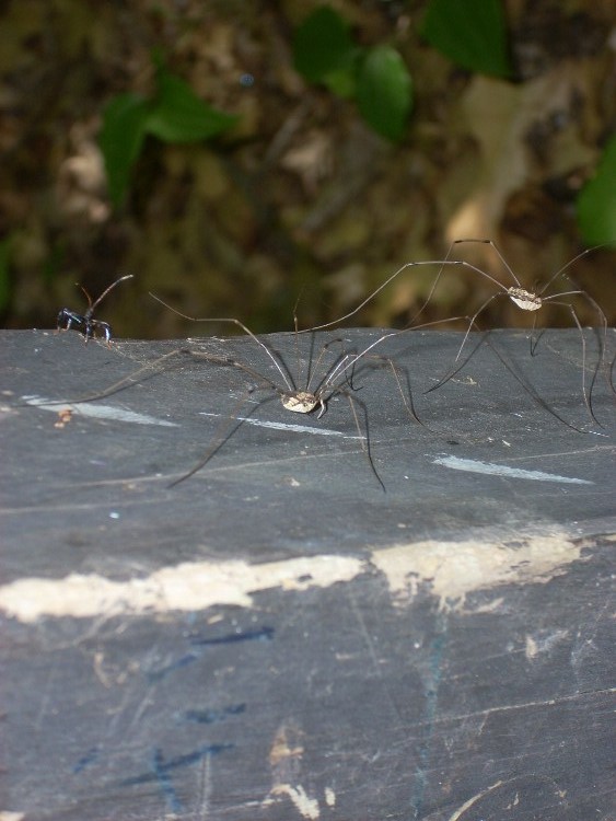
And here are some of the other residents...