Sheltowee Trace
Natural Bridge State Park
to Gray’s Arch Picnic Area in Red River Gorge
This is one
hike I can recommend to just about anybody. At about 6
miles (5 if you only go as far as KY15) it’s not terribly long and the path isn't that steep either. You’ll also be able to enjoy traveling
between 2 of the largest and most significant recreational areas in the state
while taking in the sights along the very pleasant Whittleton Branch.
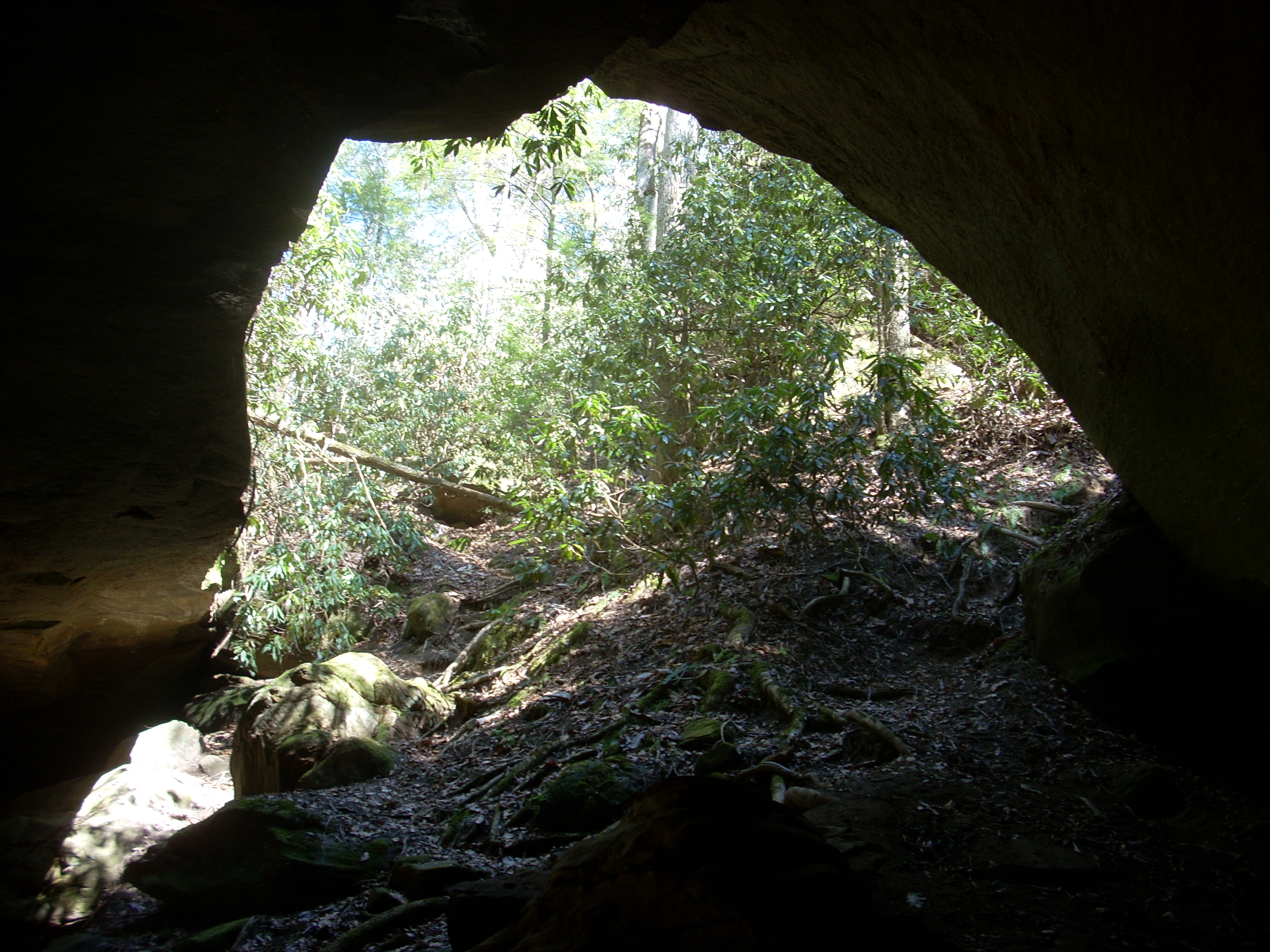
You can also visit Whittleton Arch, a large rock house along a spur trail
about half way through.
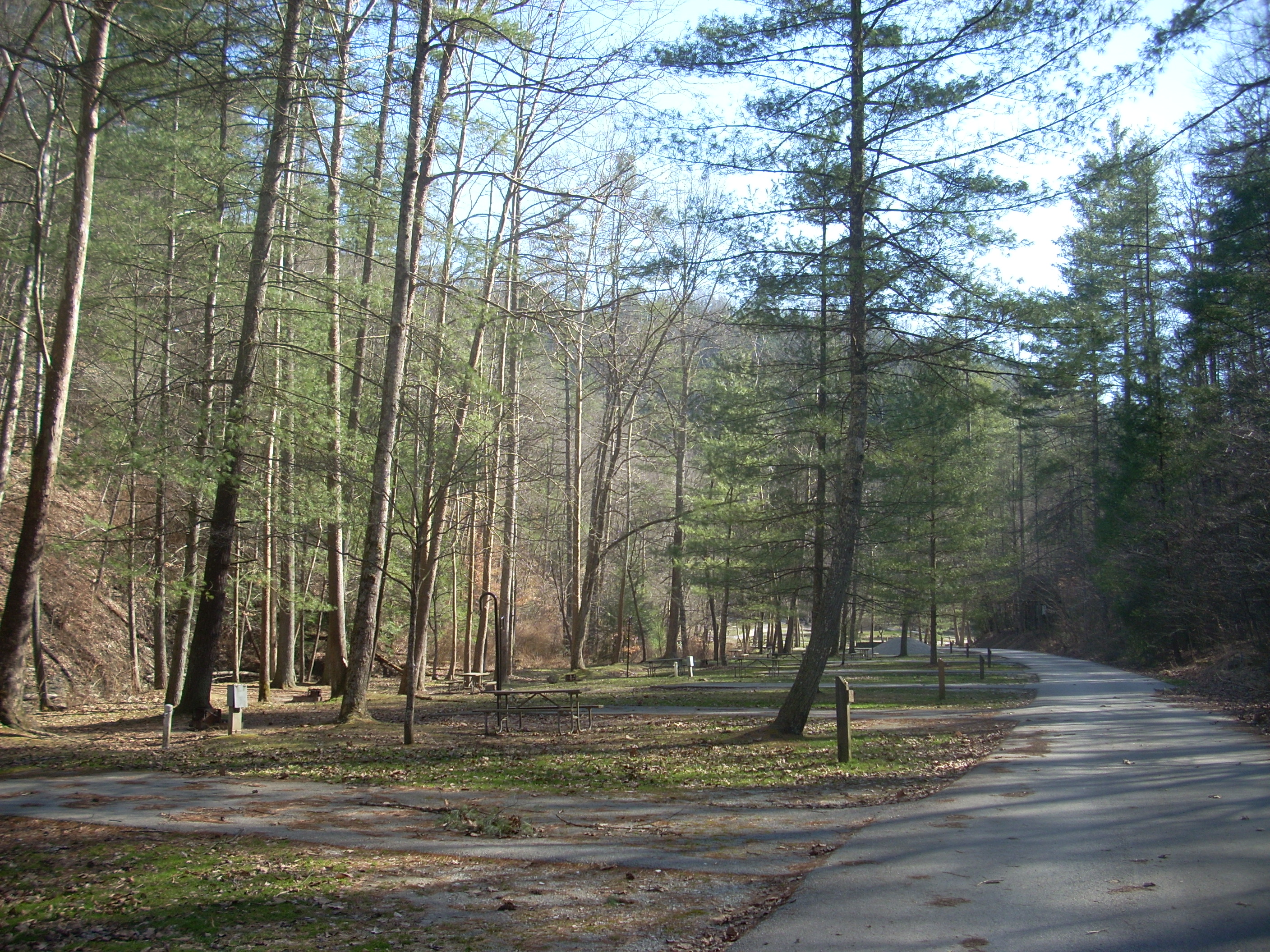
I parked in a lot just across from the Whittleton Campground (closed at the
time) on KY11 and as I did so I noticed that I was in the company of quite a few
others. The Whittleton Branch flows underneath KY11 at this point
and if you come this way you’ll cross it on a very low little
road bridge. I imagine this area could become easily flooded
after a big rain. Anyway, there were quite a few people
fishing here this day. There’s a picnic area as
well.
After carefully crossing the road, I walked all the way through the camp to the very back. That’s where this trail begins. The campground is very nice! You won’t get much privacy as the campsite’s are pretty close together, but the facility looks great and it lies just along the banks of Whittleton Branch. There’s a neat little log cabin here as well! Don’t know if you can rent it or not…
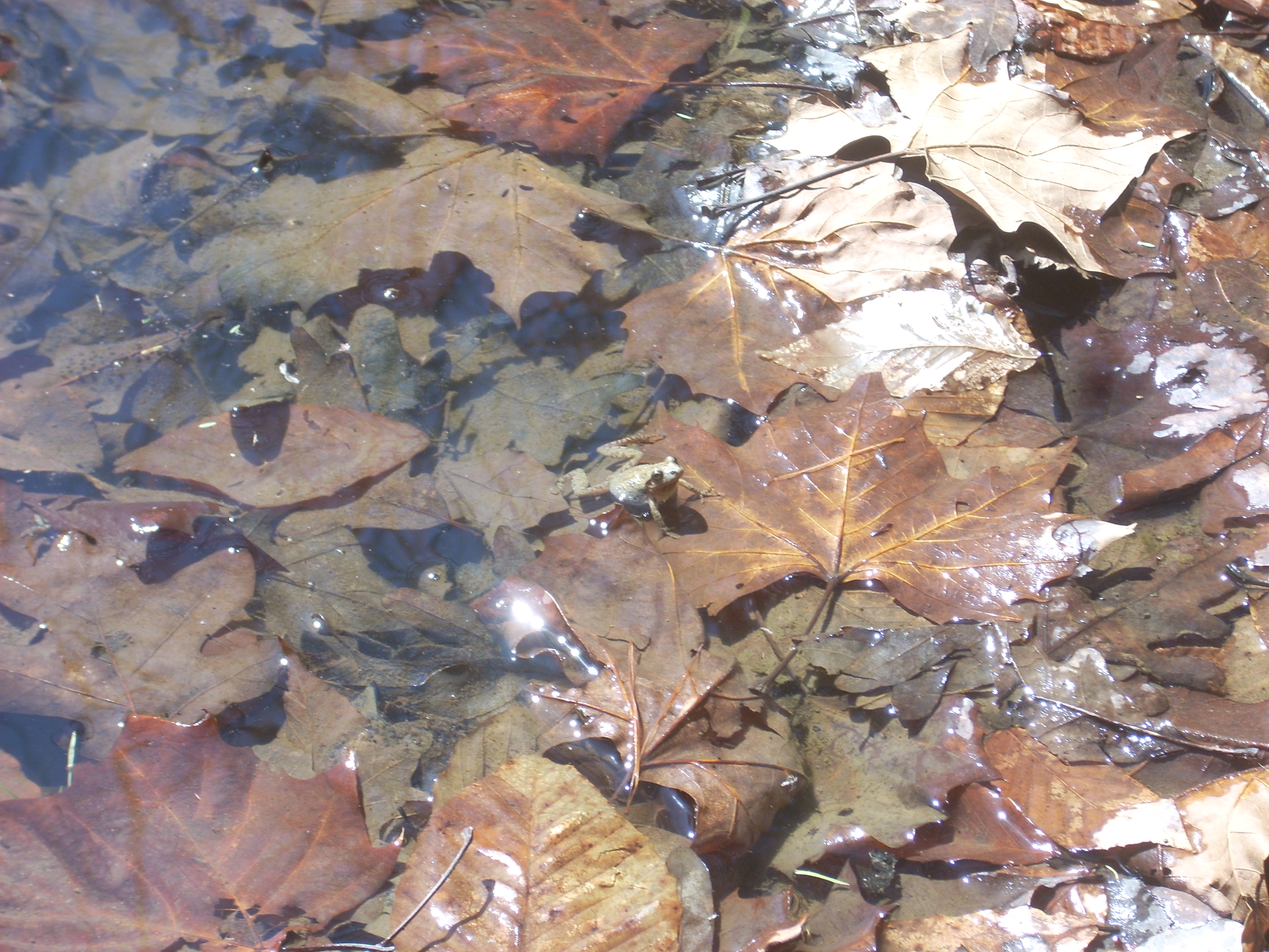
As I approached the trailhead my ears were greeted by a cacophony of sound emanating from a little puddle of water by the road - little toads or frogs! It’s absolutely astounding to me how much noise these little amphibians can make! I snapped the photo below just before the din ceased. I assume this is part of an attempt by the males to woo the females and while I don’t know if it’s working, I sure do know that it's impressively noisy!
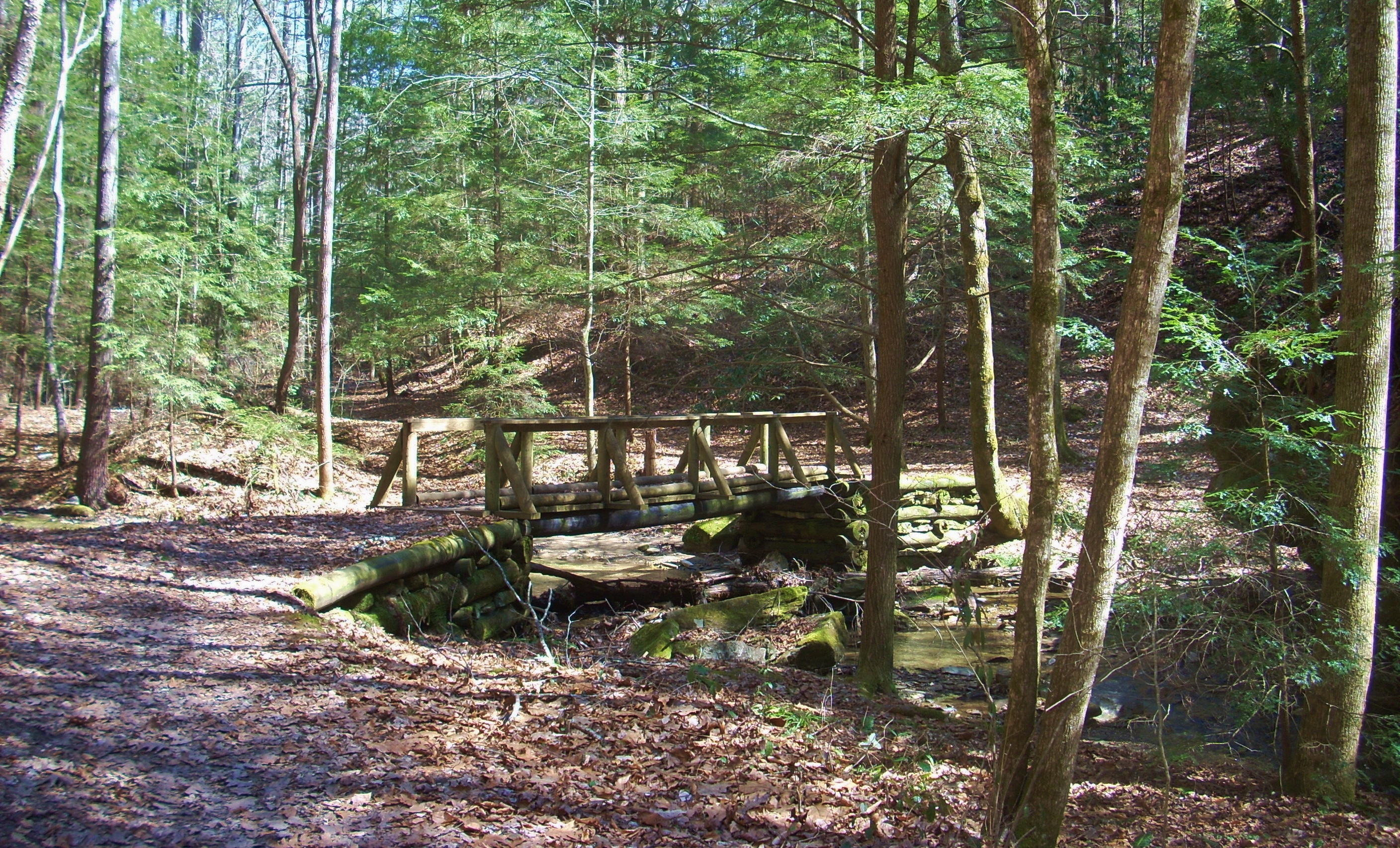
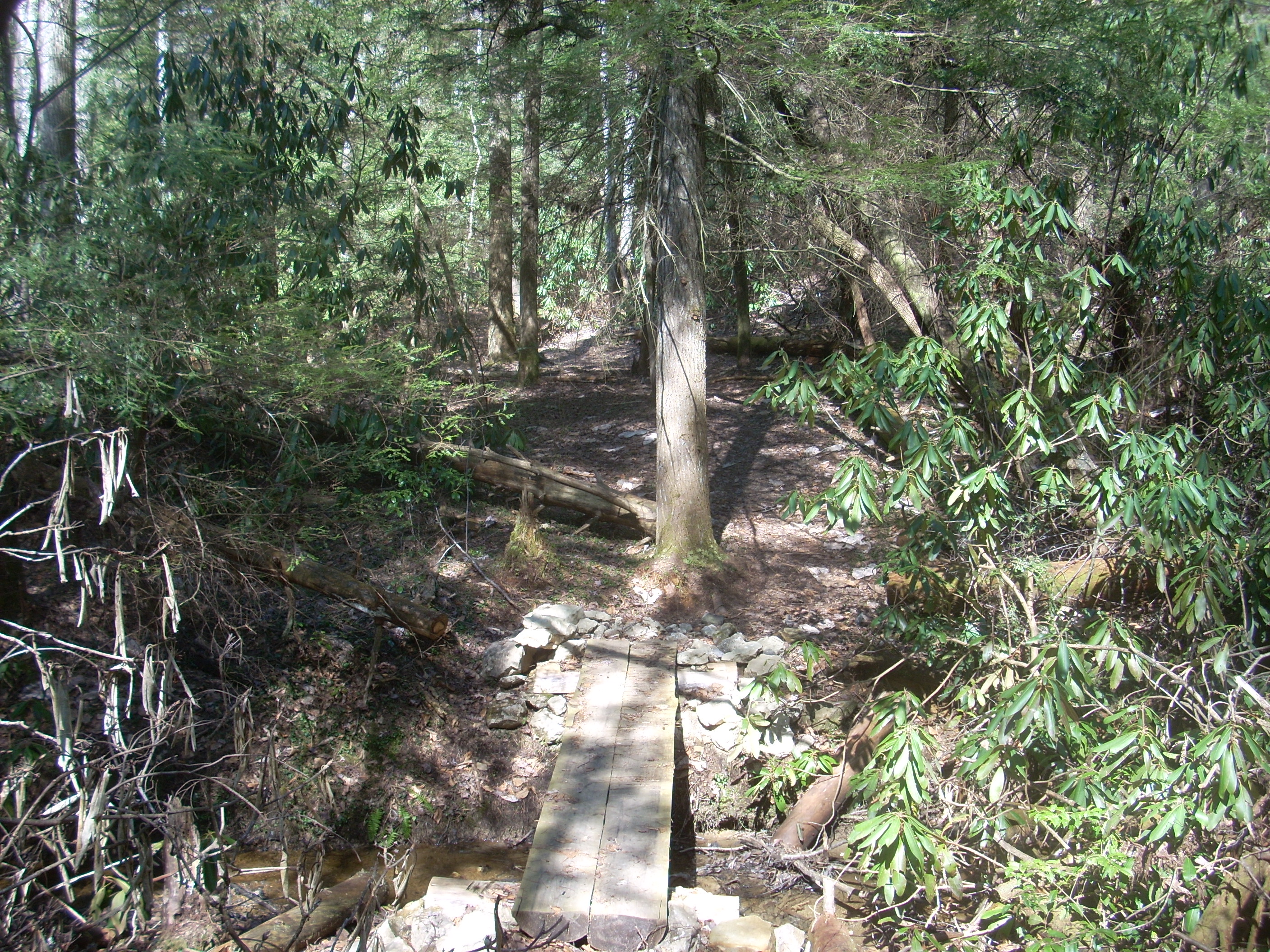
For almost the entire duration of this hike you’ll be following every meander of the stream on a fairly level plane, crossing a few different bridges along the way. The area out here is well known for its nice bridges – a couple today were washed out, but all of them are quite well done and almost all are different.
Y’know, if I were to characterize this hike I’d probably best describe it as a very pleasant stroll through the woods, and there were points out here where I just stopped and stood there for a good 10 minutes enjoying my surroundings amidst the pleasant trickling of the flowing water next to me.
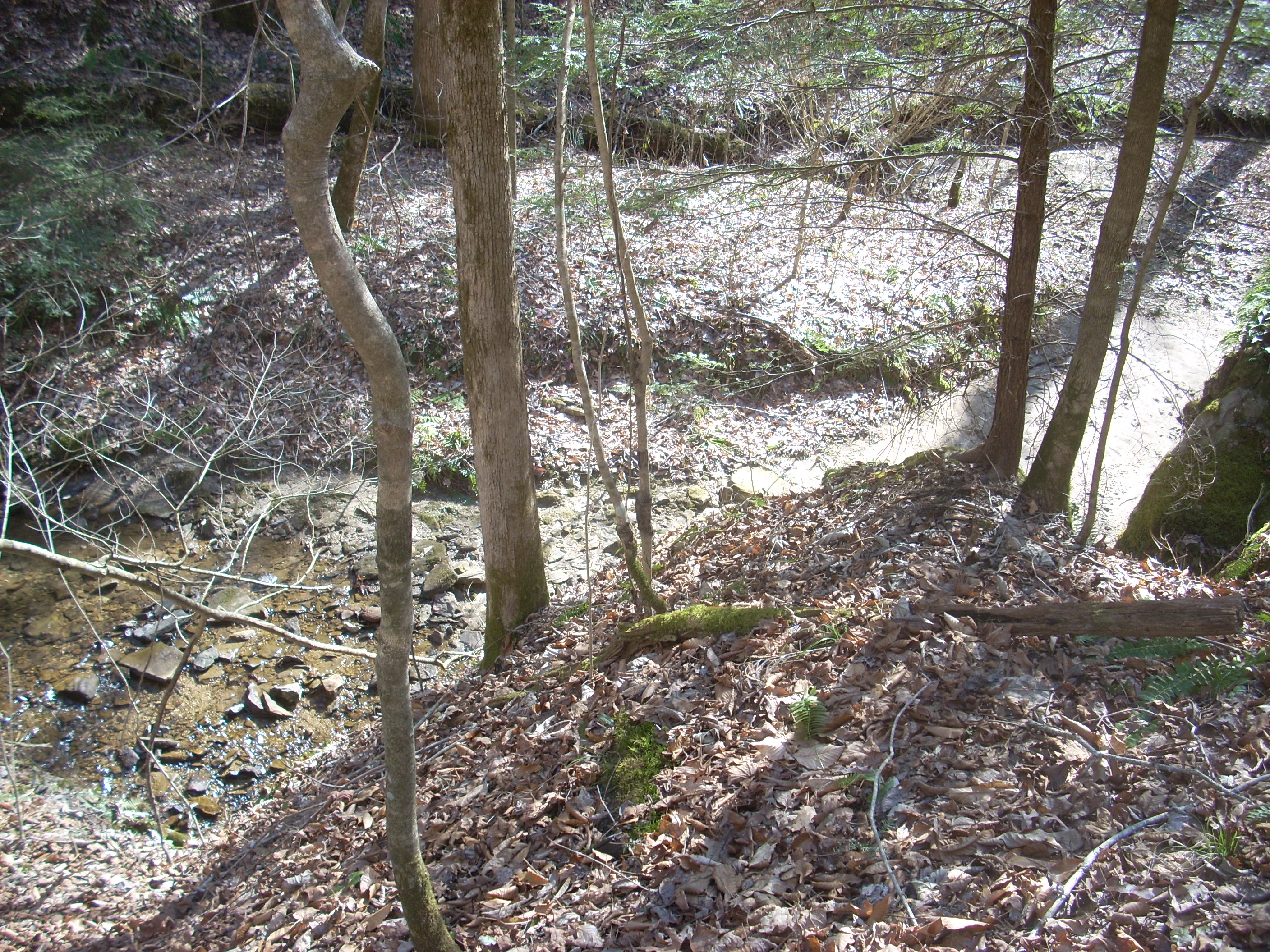
…and speaking of trickling water – or a lack thereof – the stream kind of plays “peek-a-boo” with you out here. Just before reaching the midway point where the spur trail for Whittleton Arch cuts off to the right, I noticed that the water was no longer with me. It had stopped abruptly. There was nothing but a dry streambed. On my way back I realized why this was. Looking at the picture below you can see the water flowing on the left, but not on the right. The water must be flowing underground! It was really interesting, too, because there’s one point where it looks like 2 streambeds intersect – one flowing and one dry. Turns out these aren’t 2 separate streams as you might expect, but the same stream! One side must be the old streambed and one side must be the new one!
As you branch off for the arch trail you’ll immediately begin ascending and continue for about ¼ mile through a forest of rhododendron and pine to eventually reach the arch itself, and as you make your approach you’ll feel the temperature drop about 20 degrees! When I was there there was a trickle of water coming over the rocks and it was quite enjoyable to look around. This would make for an interesting camping spot if they’d let you. I’m not sure, but I doubt it…
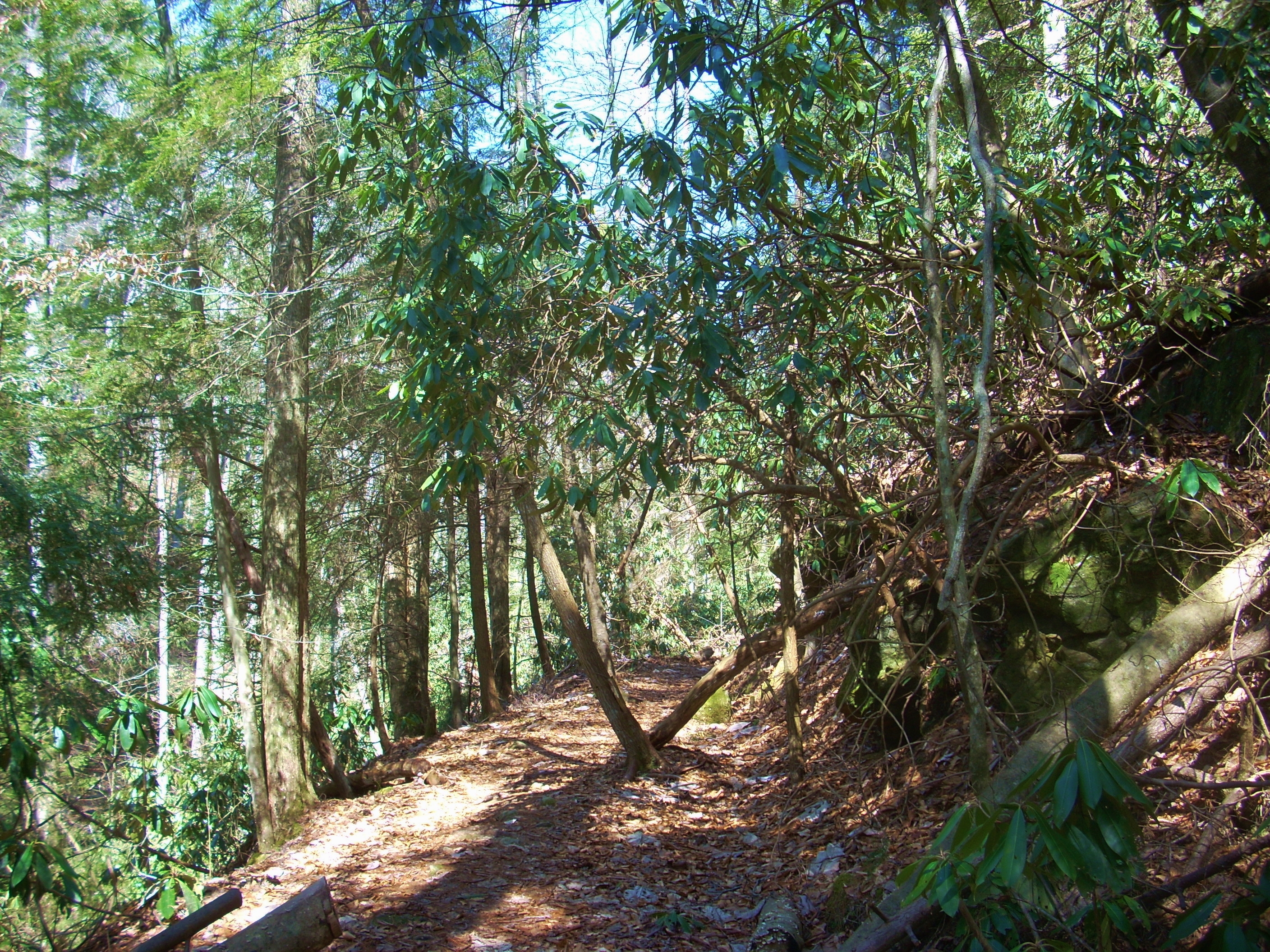
Once you retrace your steps back to the main trail you’ll soon begin to ascend very slowly and gradually through another section of rhododendron/pine forest...
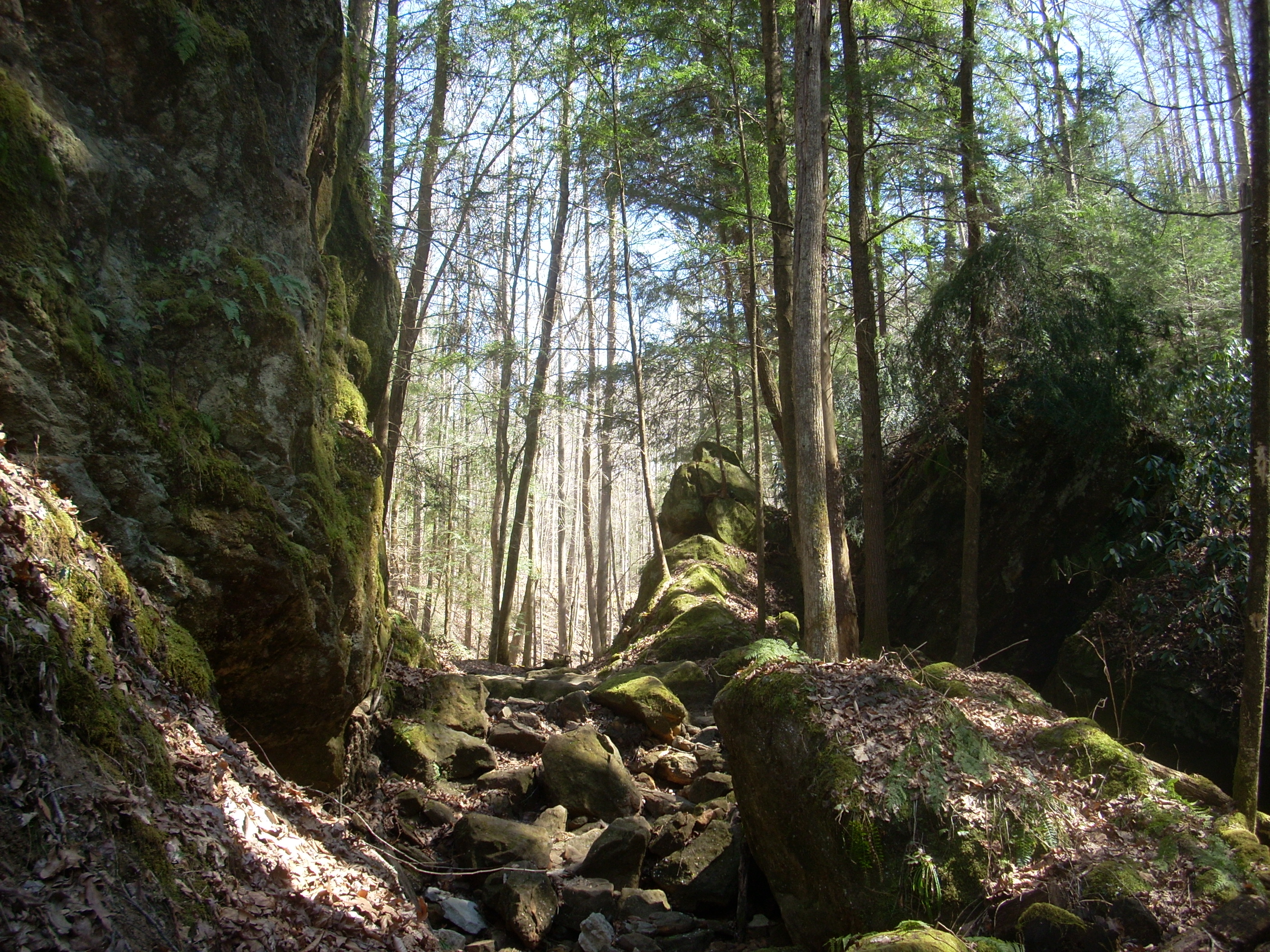
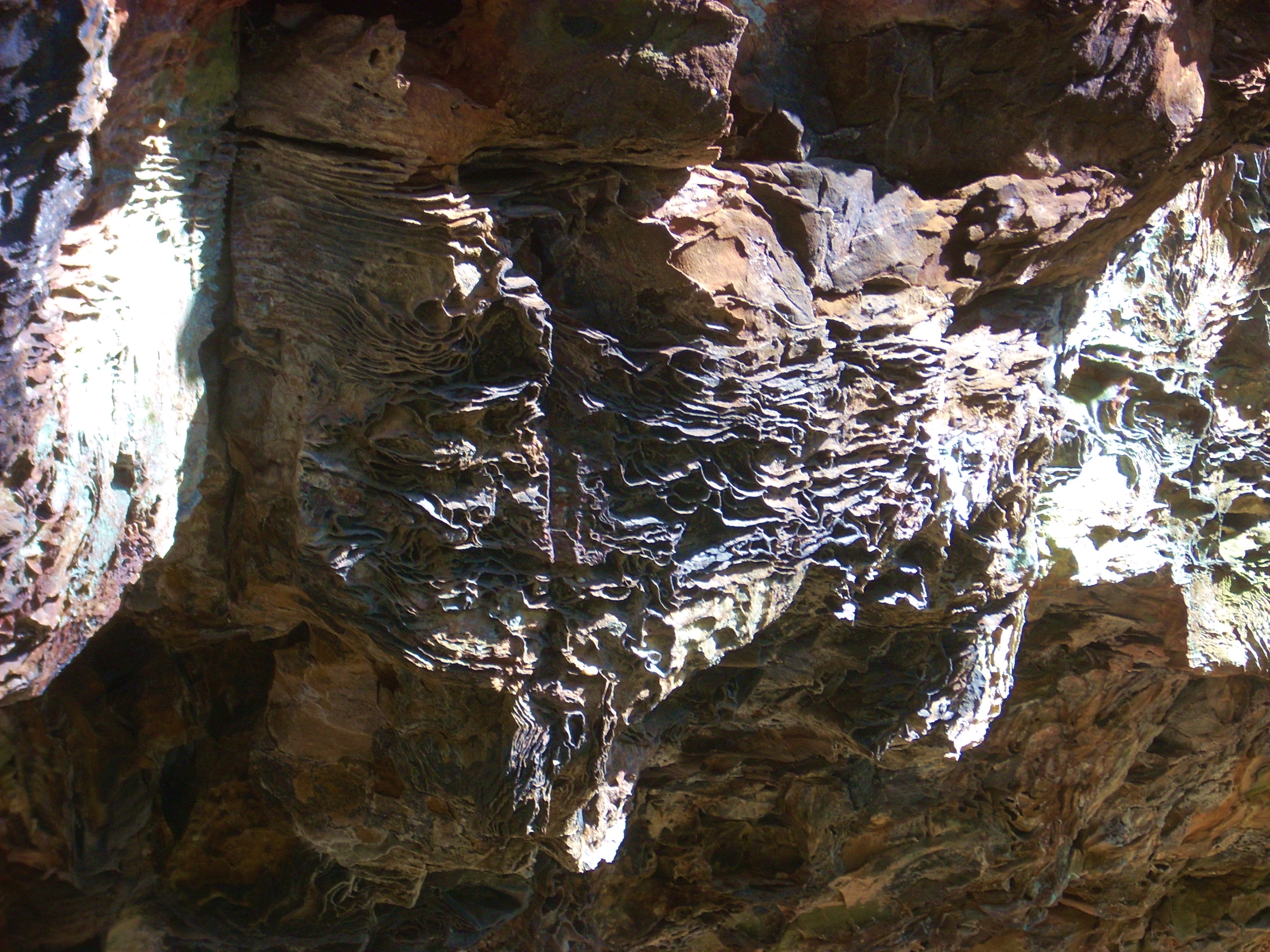
This is a section where you'll see some very interesting patterns in the rock faces and there were even some spots in which it looked like you might be able to do a little spelunking if it were allowed. As I write this, however, caving has largely been banned due to a disease (fungi based) that the bats have gotten. I’d see a notice regarding this later when I reached my turnaround point at the picnic area. It's said that bats can devour as many as 1000 mosquitoes in an hour! I’d sure hate to see the bat population depleted. They’re part of mother natures’ system of checks and balances.
There was another interesting bridge in this section too along with a little waterfall. The bridge was basically a log split down the middle - a la the Incredible Hulk #217 in which the Hulk splits a tree in half to make a bridge for his new found carnival friends who are trying to escape the Ringmaster! :)
Soon I heard the most horrible noise! You’ll eventually level out for a while, you see, and as you look up along the top of the ridge you’ll spot a guard rail – KY15. The sound of an automobile seemed somewhat incongruous after all the peace and tranquility of the hike. Keep your eyes peeled in here as the path will veer off sharply to the right to begin an ascent up to the road on a series of switchbacks. Then, once you've reached the top you’ll be looking directly down Tunnel Ridge Road. This is the one that escorts you into the heart of the Red River Gorge Geological Area.
From here the trace will
follow Tunnel Ridge for maybe 100 yards as it goes over the Bert T. Combs
Mountain Parkway. Then it’ll veer off left (the turn is well marked) on a level, well trodden path to reach the
Gray’s Arch Picnic Area in about 1/2 mile. This area is
fairly significant in that you’ll be able to reach a few different trails which
lead to different spots of interest in the gorge.
I headed back
at this point, intending to come back soon to explore the stretch from here to
the
DIRECTIONS:
I took exit 33
off the