Sheltowee Trace
KY700 to
When I'd travelled it at the time, I'd found the section of
the Sheltowee Trace that runs from
If you start
from the east side of the
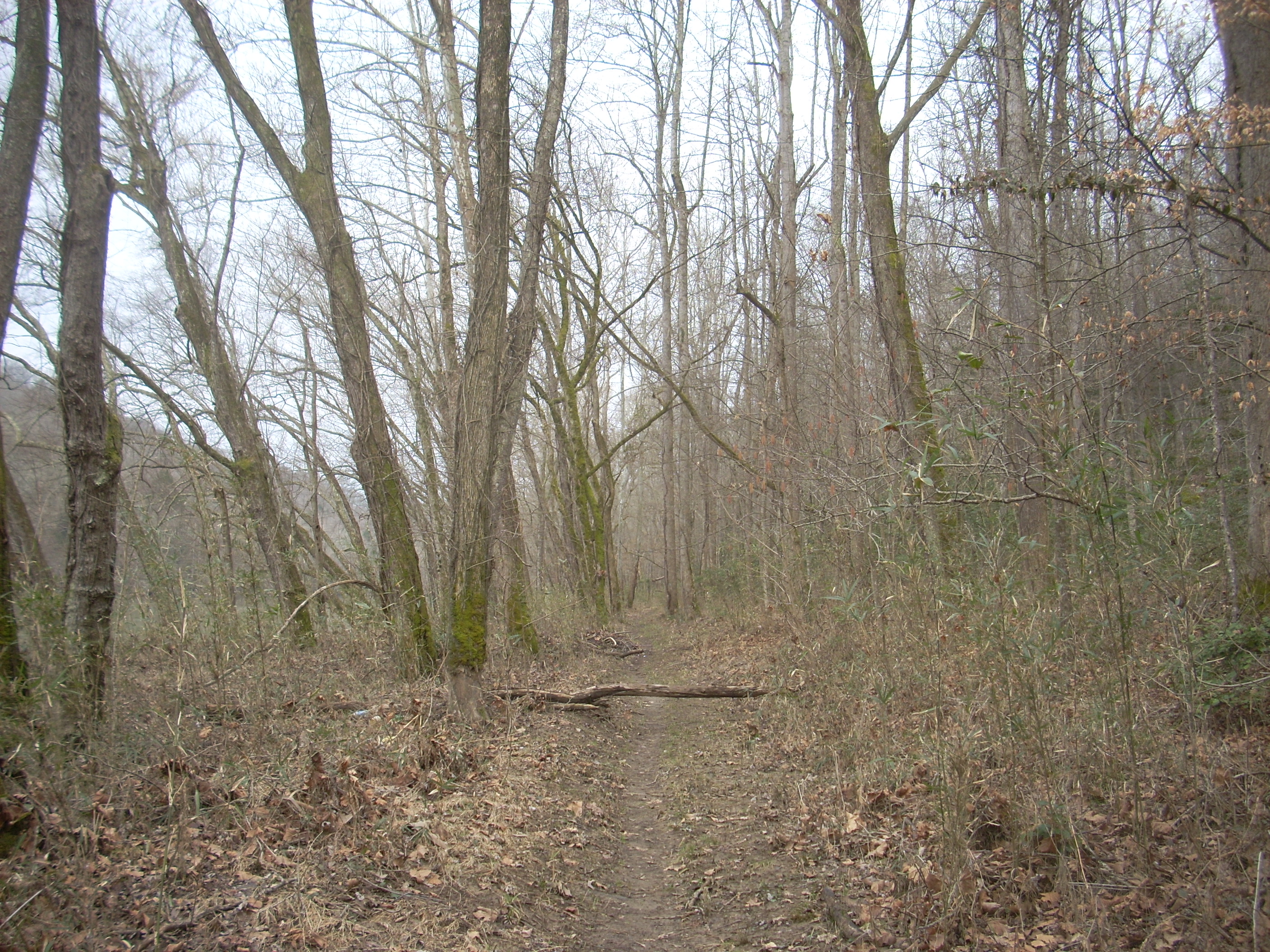
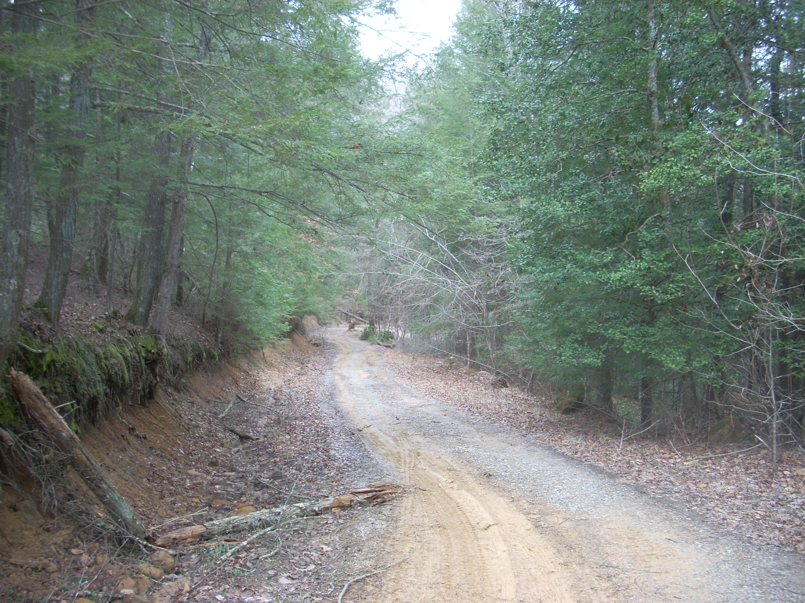
One thing to note, however, is that the path will occasionally venture off National Park property in this section. While it is a little less well trodden I found the trail itself to be pretty well marked despite this. This entire stretch is basically a walk along the river bank, however, so if you remember this then following the trail shouldn’t be a problem. Nevertheless, I'd have to say that if I had the choice I’d just stick with the Blue Bend Loop. This section of the trace is likely to disappoint you a bit. After the Blue Bend junction it will soon become an adventurous ATV trail, then a tame ATV trail, a dirt road and lastly a really steep and winding dirt road.
I’m getting ahead of myself though... As you look for a place to leave your car you’ll find that parking is a bit spotty on this side of the bridge. I crossed and then pulled in right alongside a guard rail at the first opportunity (there’s just enough space for about 3 cars where I parked). From this point I began walking back down the road toward the trailhead I’d passed. There’s not much room to walk beside the road. Please be careful!
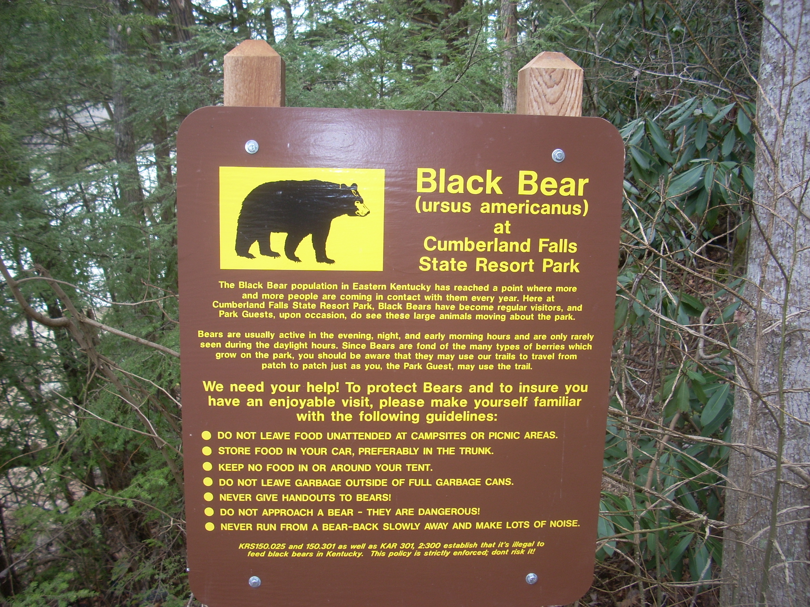
The trailhead itself is immediately on the east side of the bridge. You’ll see the signs fairly easily. One even has a black bear on it! In regard to the bullet points I understand all except the last one. Don't run from a bear - slowly back away and make lots of noise?!? Are they kidding? I'll back away, no problem, but making lots of noise? Ultimately, I think I'll take their word for it but it sure sounds a little funny. I'd heard that playing dead can work and that's exactly the opposite of the advice here.
Anyway,
you’ll be able to see the parking lot for
On this first part of the hike you'll see 2 sets of trail markers – a turtle for the Sheltowee Trace and a yellow on blue “10” for the Blue Bend Loop. Incidentally, the first sign you’ll see for the Sheltowee really puts into perspective how long it is:
Kentucky Route 700 - 5 miles
Kentucky Route 27 - 17 miles
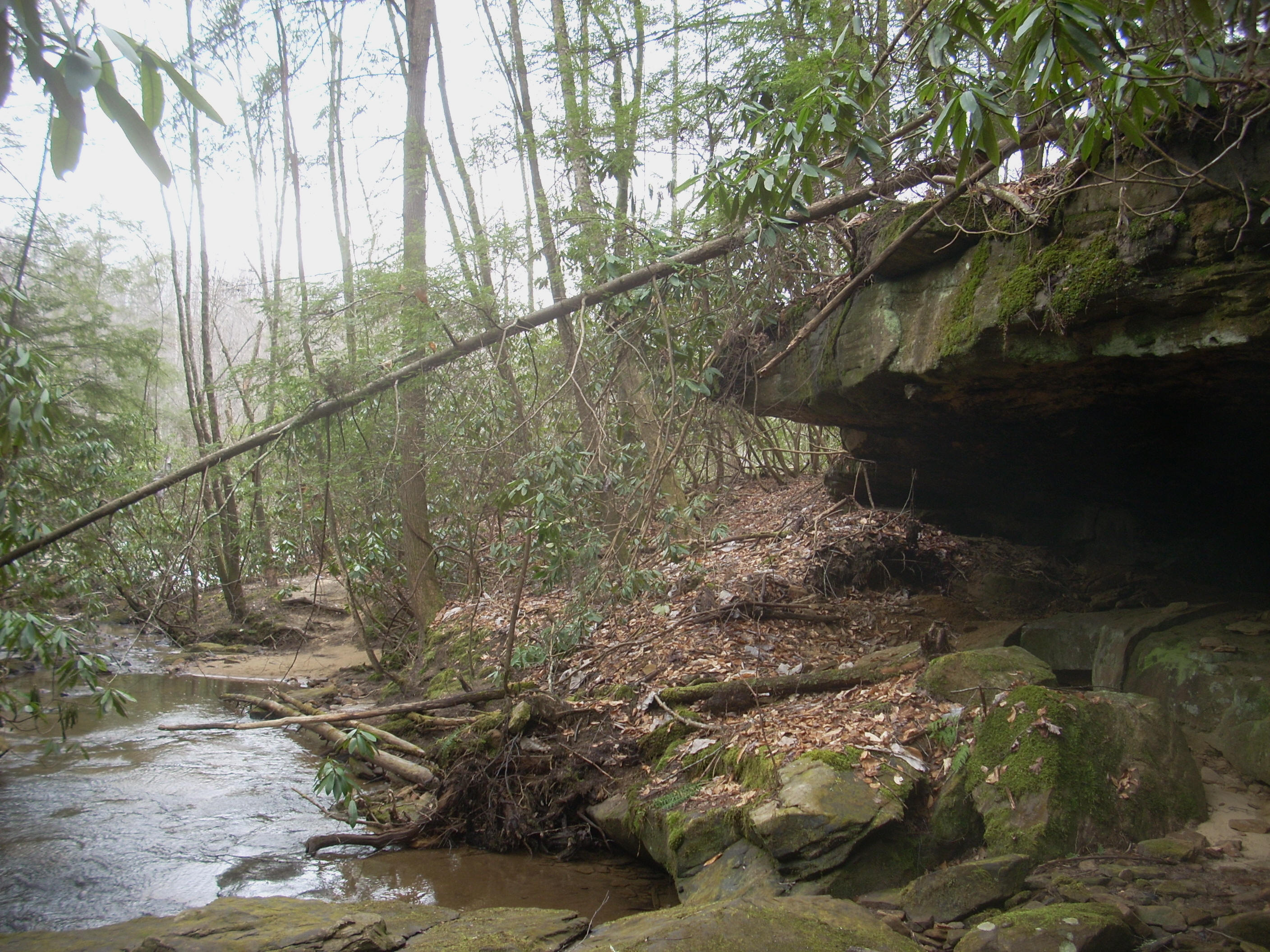
The first major
descent toward the river bank will be on a set of stone steps which will lead
you down to
a little trickling stream. As you look back into this stream you’ll see
that as it goes over the rock which could well make for a nice waterfall after a heavy rain. I noticed a stone marker on the path
in here.
It was near conical in shape and it was firmly “rooted” in the soil.
It had an “SP” on it. “Sheltowee Path”, perhaps?
Not sure…
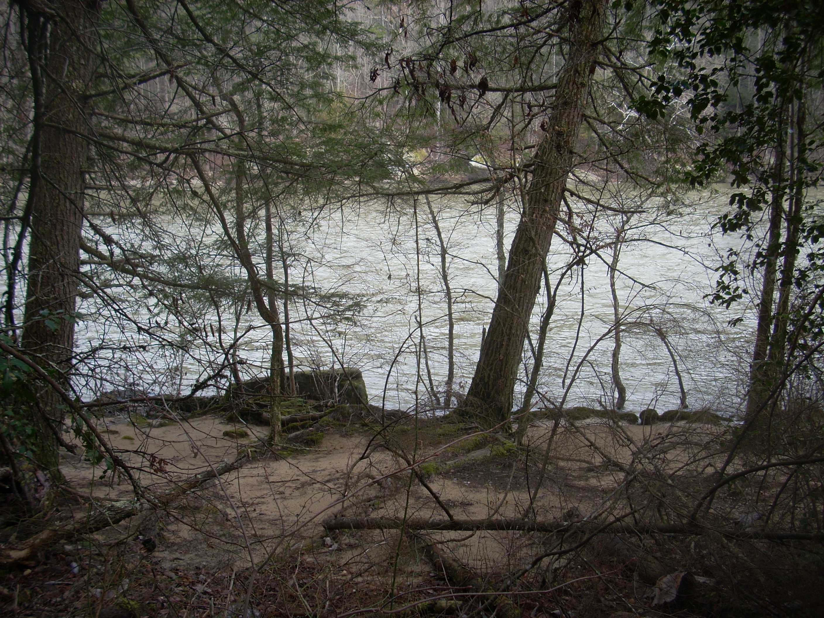
There are some really nice, pristine looking little beaches in this area! These always remind me of Robinson Crusoe although his beach must have been on a much grander scale! These first beach spots were just about trash free today but the further I went the more sullied they became.
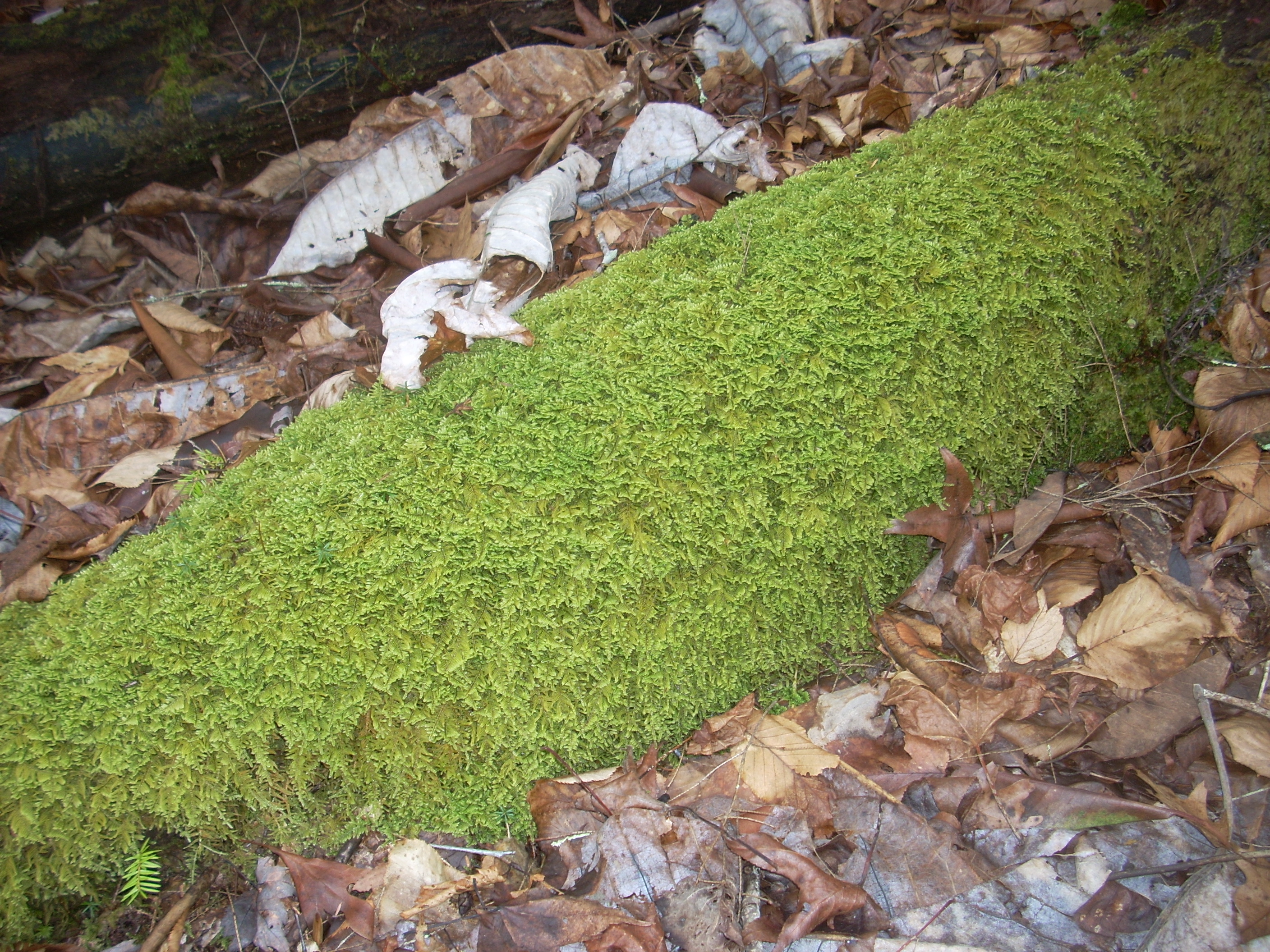
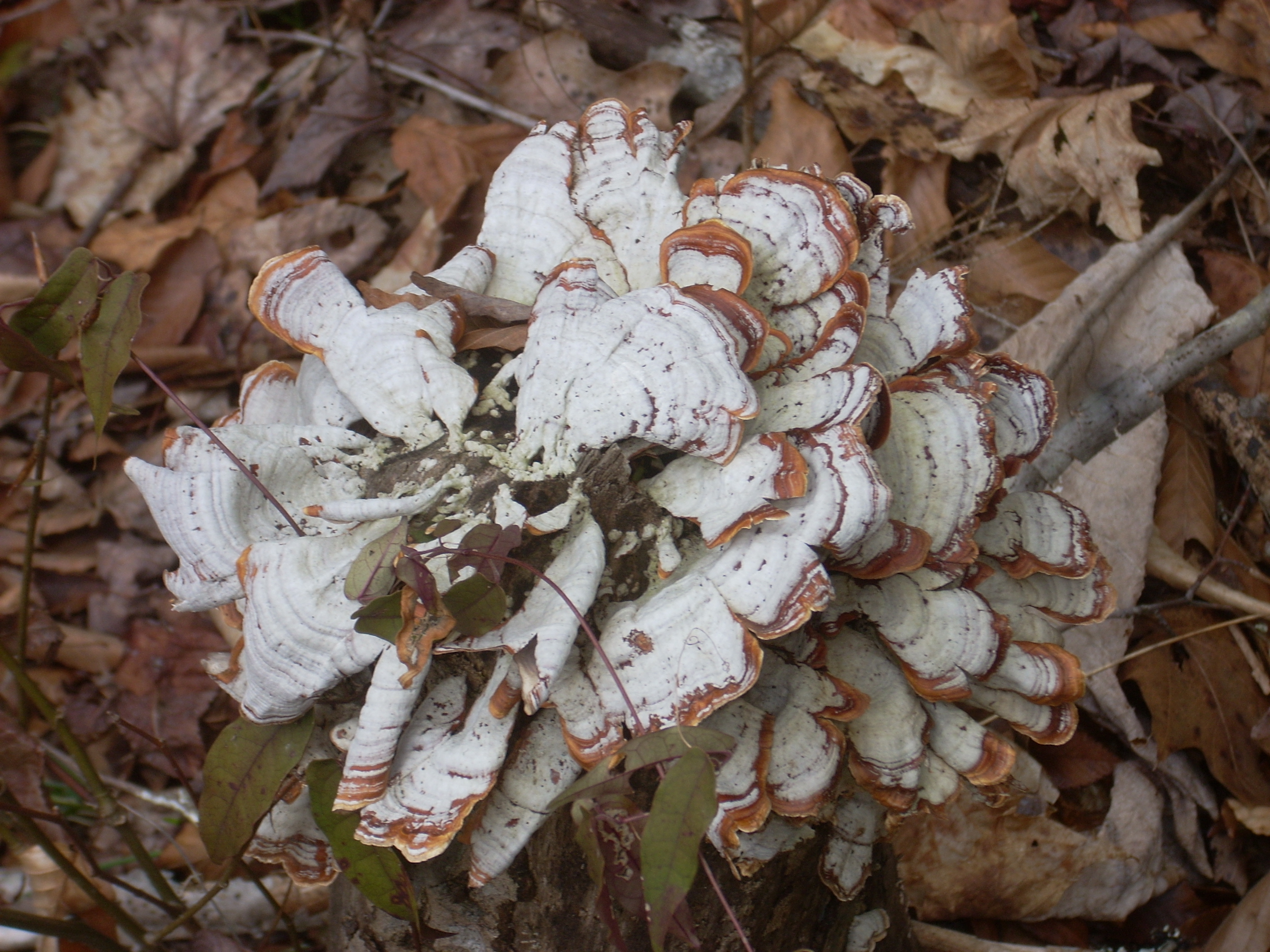
I once again noted in this section the different mosses, ferns and fungi. Things are so green out here! Some of the downed trees are completely covered in moss and most of the rocks have likewise taken on a green hue. There are some other colors as well… Some of these fungi almost look like flowers! They’re beautiful!
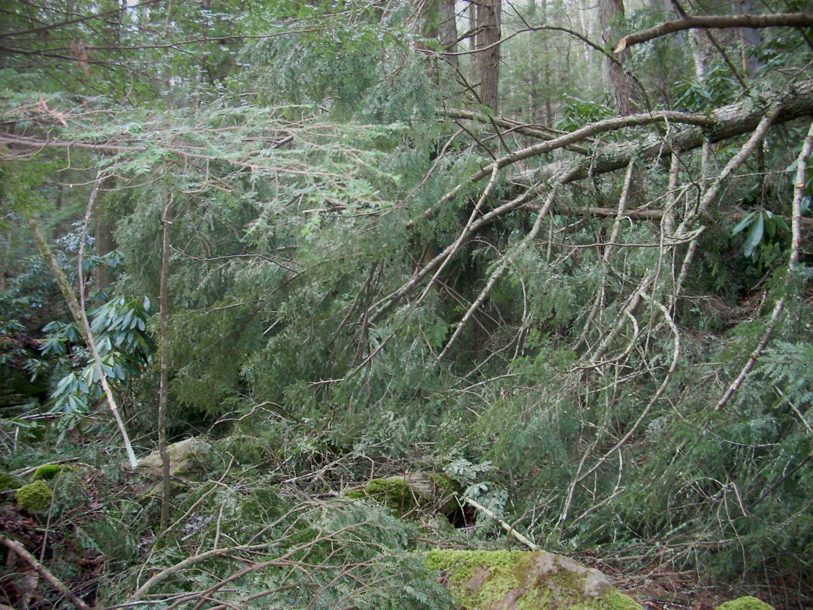
The first major deadfall also entered the picture at about this point…
At the next
marker there was what looked like another trail intersection. It
wasn't, it was just an old mining or
settlement road. There were many little
homesteads along the river here at one time. Go ahead and
continue to the left.
Let me mention
it here because I’ve been remiss in not doing so before.
There is one amazing book out there by a guy named Johnny Molloy.
Mr. Malloy has written or assisted in writing quite a number of books on
the outdoors, but there’s one that I think is great for anyone wanting
to hike the Sheltowee Trace – the aptly titled “Kentucky’s Sheltowee Trace”!
This book breaks down different sections of the 282 mile path
and then it describes them. It's great for anyone who would want to either traverse a little
section of it or even for someone who would like to hike the whole thing. It really is a
great little book!
After passing along another section of rock wall - one that includes a little squeeze between 2 boulders - you’ll soon be walking along the riverbank. The rock face continues above and to your right, however, for the rest of this section and in the river there is what looks like a little island at this point. I was somewhat surprised not to see any geese.
Very soon
you’ll reach the 2.2 mile mark where the Blue Bend trail will branch off and
head up and to your right. You’ll go straight to continue
along the trace if this is the path you choose. Taking Blue
Bend will lead you back to the road where you parked your car (KY90) in about 2
more miles.
Continuing on the Sheltowee, things pretty much stayed the same although it was clear that this part of the path was less traveled. The river bank turned muddy at times and I was able to spot at least one other fairly fresh set of footprints.
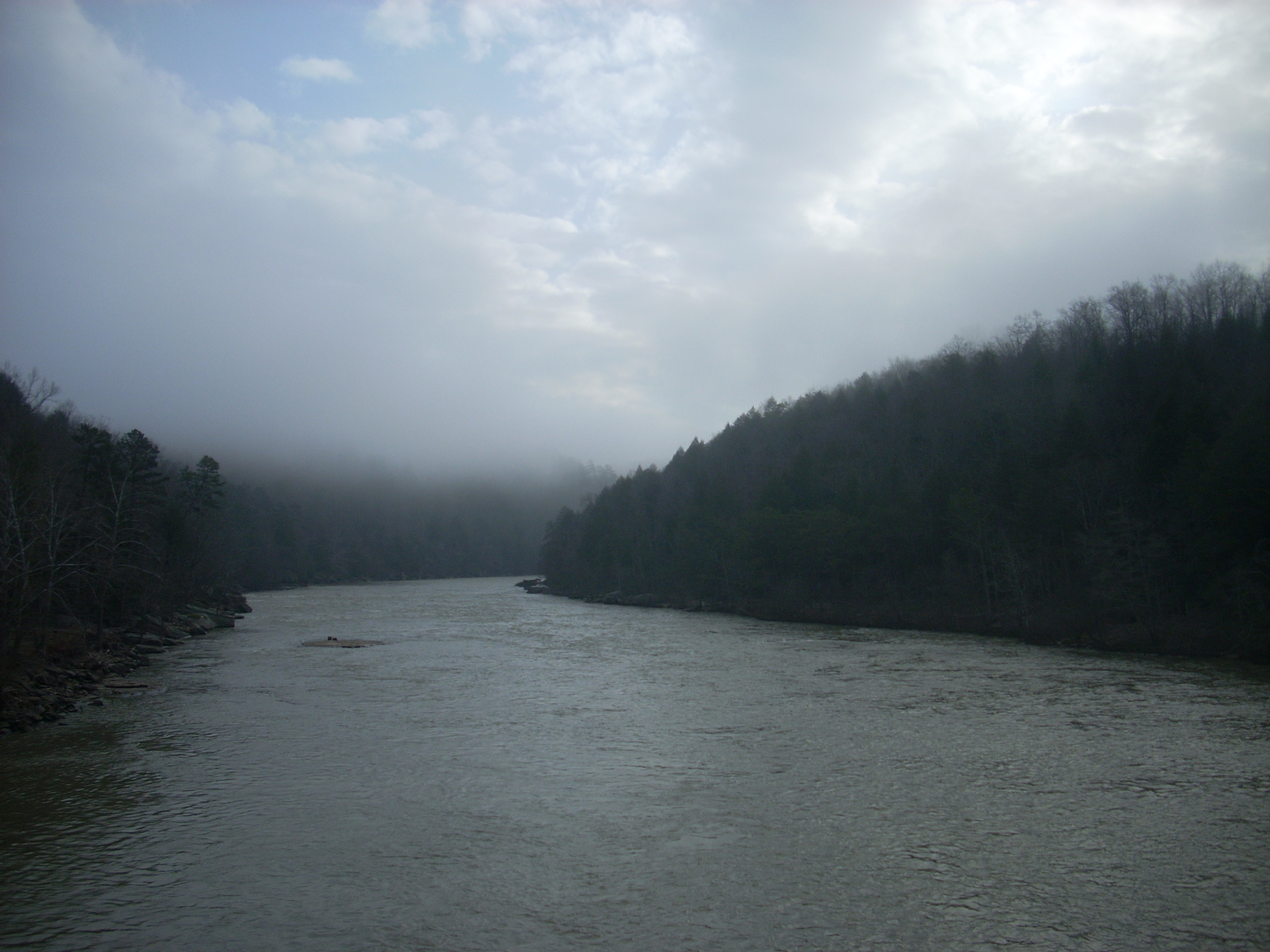
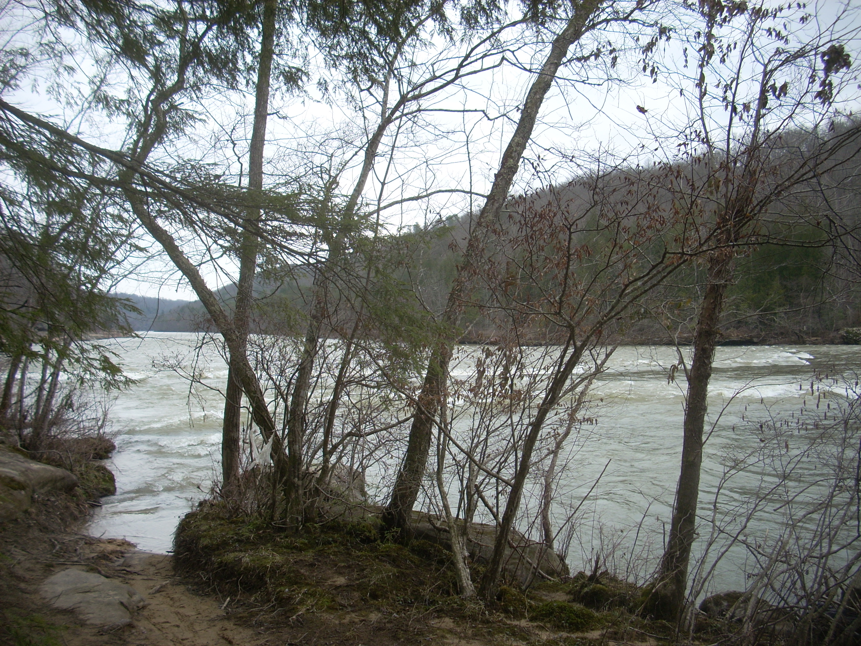
As regards the
river it was quite interesting. The water was really moving
out there but a lot of times you almost couldn’t hear it. It really struck me
how such an obviously powerful current could be so quiet - the very model of silent strength!
Presently
you’ll cross the first of 2 fairly large stream basins. This
first one was fairly cleared out and level on the opposite side, and it
contained a raised platform of some sort which I assumed could be used in case of flash flood. It reminded me of
a Flintstones episode in which Fred and Barney were swept down a river in the
middle of the night as they slept on a camping trip! I’d see
a few more of these at different intervals for the next mile or so.
Soon I came to
what looked like a combination of road and old, rocky streambed.
I knew that I’d eventually be headed up in such a direction on
Well I went maybe about ½ to ¾ of a mile on this steeply ascending road before I realized that I probably would have seen a sign by this point. I headed back down to where I'd broken off from the river.
You’ll be on a dirt road at this point which will deposit you onto an extremely large rock ledge at the rivers’ edge. This was where I found myself picking through and around some trash in the midst of a part of the trail that was today also blocked by deadfalls in spots. Thus, I’d get to a point on the rock where trash would block my way just enough to make it seem easier to avoid it by heading back to the actual path. Then there’d be a deadfall across the path and it would be easier to negotiate the trash on the rock. I eventually made my way through.

Next up came quite a bit of interest. The river curved to the left on McKee Bend and at this point there were some rapids out there which must have been the Pitch Rapids. There was also another fairly large stream basin (which I now assume must have been Pitch Branch) and a sandy beach which contained a tepee. Yes, a tepee! Complete with a stove pipe poking through the hole in the top! In fact, I assumed that someone might really live here so I stayed very quiet and minded my own business.
After this
point the path begins to ascend until you catch up with a dirt road –
Thunderstruck! The real Thunderstruck this time!
The path was exactly the same as the one I’d mistakenly taken before –
steep and winding along occasionally orange tinted dirt (Tennessee isn’t too far
away now!). As I continued and got to the top I spotted a
house... Now, the Sheltowee Trace is in the public domain,
but in extreme rural Kentucky I’m not taking any chances walking across
someone’s property without the expressed consent of the owner– public path or
not! I took a quick photo for the sake of closure and headed
directly back the way I’d come. That was it!
KY700 couldn’t have been more than ¼ mile away. I was
satisfied. Besides, road walks aren’t my favorite parts of
this trail anyway.
Some may be
bored by out and back trips for the simple reason that you’re merely retracing
steps that you’ve already taken. For me, though, they’re
perfect. On the trip out I’m busy taking pictures and getting
acclimated to the trail features, but the return trips are much more leisurely
and I can take note of some of the things which I might have otherwise missed.
It’s on these that I take most of my close-up shots of vegetation – the
moss and fungus shots above are examples. Once back at my car
I decided to treat myself to dinner at Qdoba! Has anyone
tried the gumbo there? It’s excellent! Great post workout
meal!
DIRECTIONS:
The hike begins
immediately on the east side of the bridge over the