Sheltowee Trace
I75 to
I believe that some people
are allowed to have a good deal of control over their lives. They can
achieve success through their own devices. Others are being led.
Have you ever thoroughly
planned something out using all the tried and true wisdom at your disposal,
factoring for every contingency and then, just as success is being handed to you
– so nearly in your grasp that you can almost feel it – you’re suddenly shoved
from behind into a completely different reality where you’re left to start all
over again from the very beginning? Does this represent a pattern
in your life? You’re probably being led.
Don’t worry, so am I! There’s something more to this than meets the eye. A good and just Creator
would never give life to something only to torment it, so when I’m dealt with
one of these setbacks I simply go into survival mode and release all my cares
and desires for a while until a new path is revealed. This is done in the
belief that when things don’t go the way I plan it’s simply the Lord trying to
show me something different - something that’s sure to be pretty darned
important. Even so, I fear that I’m a weak person and that I’m not always
as open to this as I should be. If I was I might be a lot more patient and
accepting as I watch my disappointments slowly morph into points of inspiration.
Today was a perfect example. I actually started
50 miles away on a completely different part of the Sheltowee Trace with a plan
all set out, yet the series of gaffes which ensued upon my arrival was so
ridiculous that I got right back in the car and began to head back home!
My personal experience is that when things start to go wrong they usually don’t
stop until I’ve had to completely give up and move in a totally different
direction (a crushed
kayak finally ended my 2007 attempt to paddle the length of the
Anyway, I was quite angry as
I drove away from my original destination.
“What a waste of time and gas!”
I was thinking.
Then, upon reaching the first
intersection:
“Maybe I’ll at least try
to head back home another way to see some new scenery.”
Less upset now, my optimism returning…
“Hmm… This area of
Heading north on KY1003 and then 1675 in
“OK. Maybe I can
try something else.”
It was at about this point that I saw the
From I75 the Sheltowee heads east on KY909 – a road
which dead-ends in about ½ mile at US25. Here you’ll make a right and
follow the road a little over ½ mile before making a left onto Hazel Patch Road.
Then, in descending along a fairly tight “S” curve, you’ll cross Hazel Patch
Creek and make a left onto a gravel road clearly marked with “
In
terms of history this is an area of incredible
significance – and not only because of the Civil War. This section of the
Trace also runs along part of the original
In
1775 when Daniel Boone and his axe-men were enlarging the road for future
travelers, a portion of the party led by Colonel Benjamin Logan decided to head
northwest here instead of going with the main group to Boonesborough with Boone
and Richard Henderson (namesake of
At any rate, the Sheltowee Trace is following a gravel road
at this point
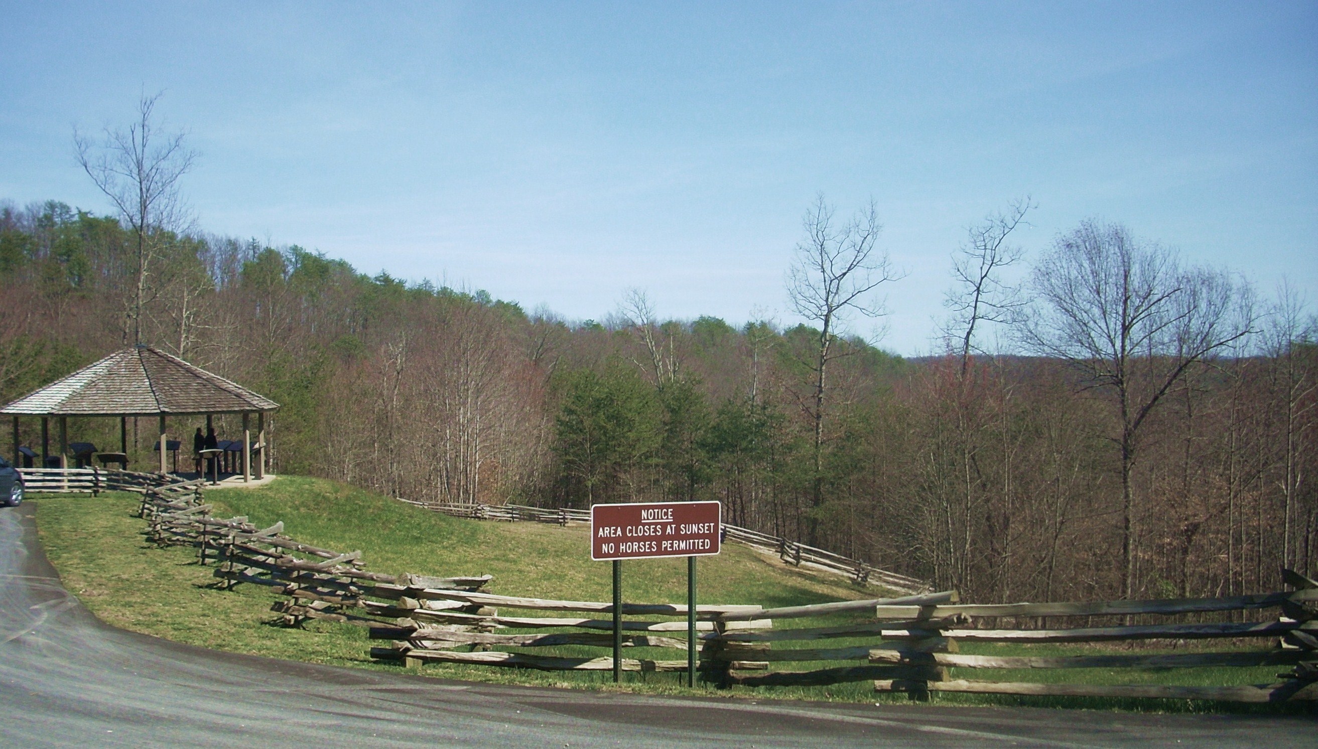
(Old Wilderness Road or FS737) and this leads you directly to Camp Wildcat in about 2.5
miles. You’ll know you’ve arrived when you see the large parking lot. I parked and walked ahead to
take in the historical markers under the canopy. I’ll be frank, however.
It saddens me a little to think about the Civil War. Not only did so many
Americans die in it, but they died fighting
each
other. Nevertheless, I’m
reminded that as bad as things can get they could always be worse (…and maybe
that was what the Lord wanted to show me today!).
If you look to the left of the canopy you’ll spot the beginning of the longest path in the preserve, a well-maintained gravel route that will take you up to the top of Hoosier Knob where most of the fighting took place. A trail sign indicates that this path is ¾ mile long, but please keep in mind that that’s only one way. This is an out-and-back hike which will effectively double that distance. In fact, this one felt even longer than that to me. I’d go into this one with the mind-set that it’s about a 2 miler just for the benefit of budgeting your time.
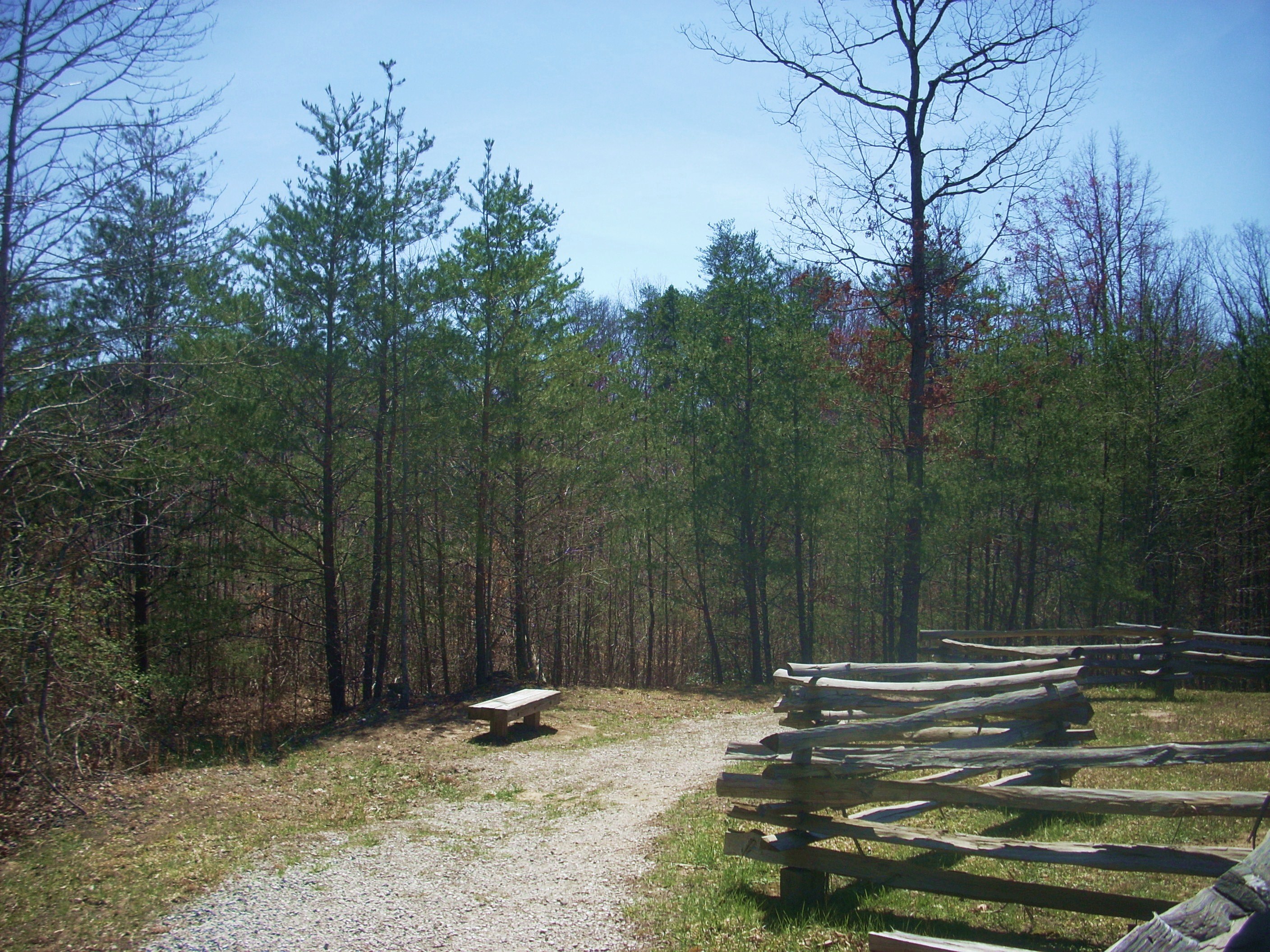
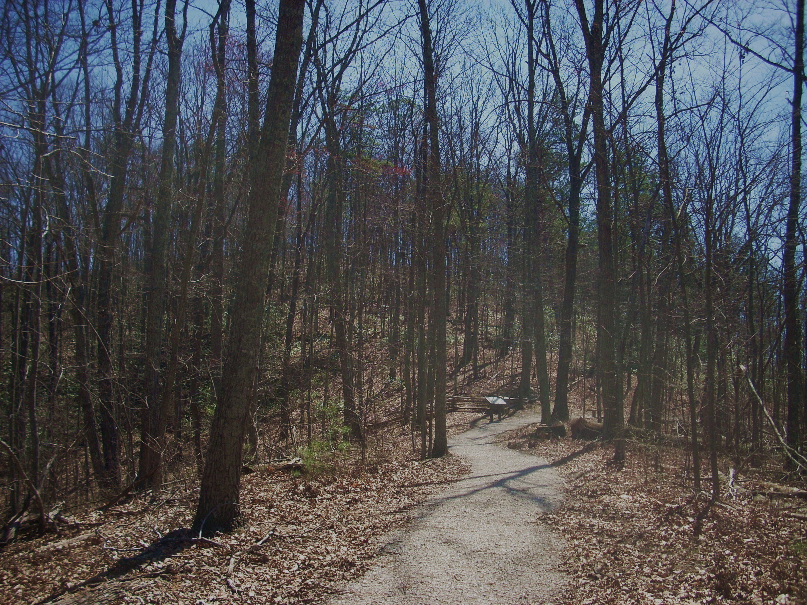
The path will start out by
taking you on a light descent around the canopy and then it’ll deposit you into
the woods atop a little ridge where historical markers will be intermittent
company. As they relate to the war, its consequences, and its
complications they really do a great job of bringing your mind back to the
time period.
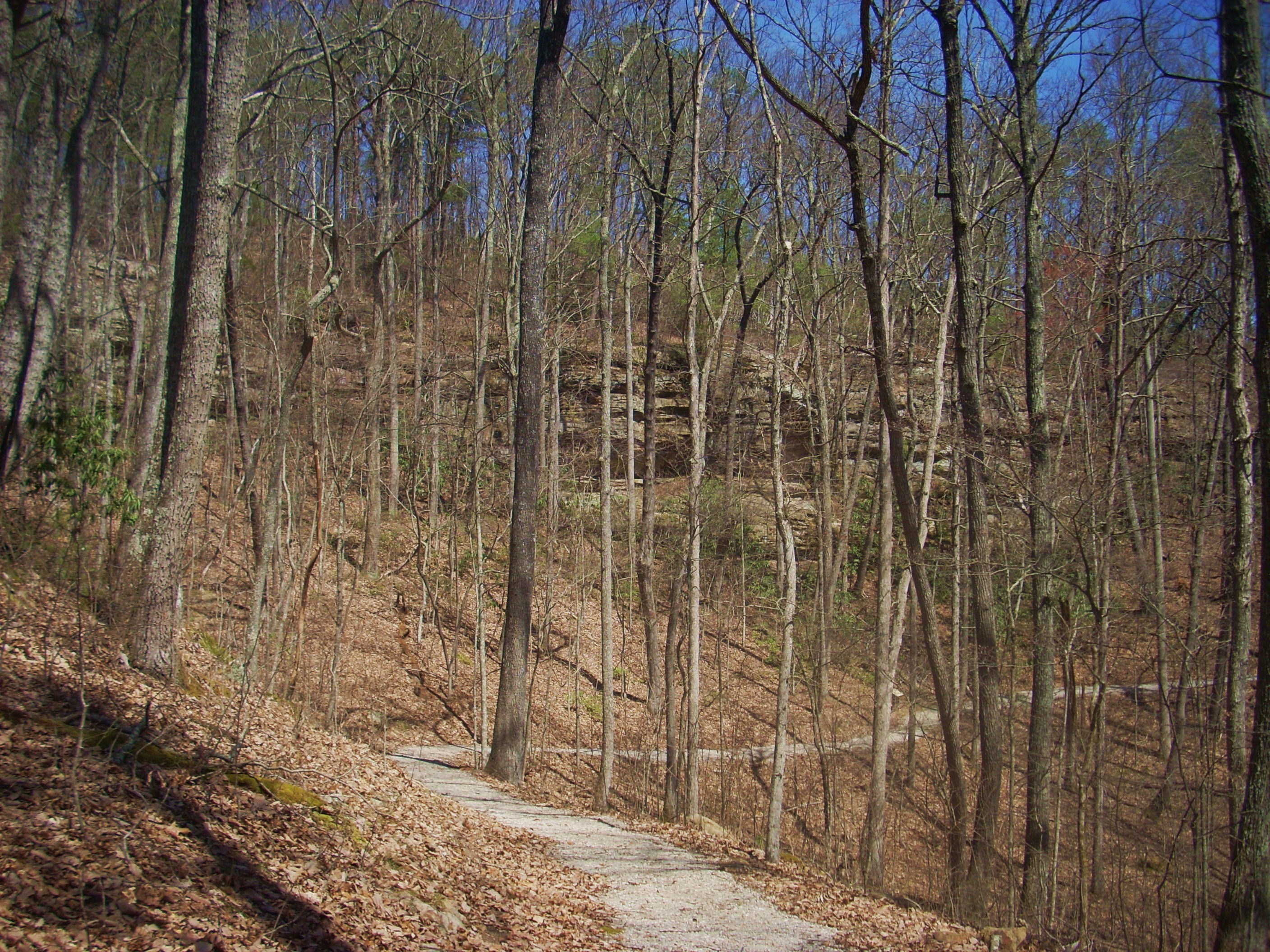
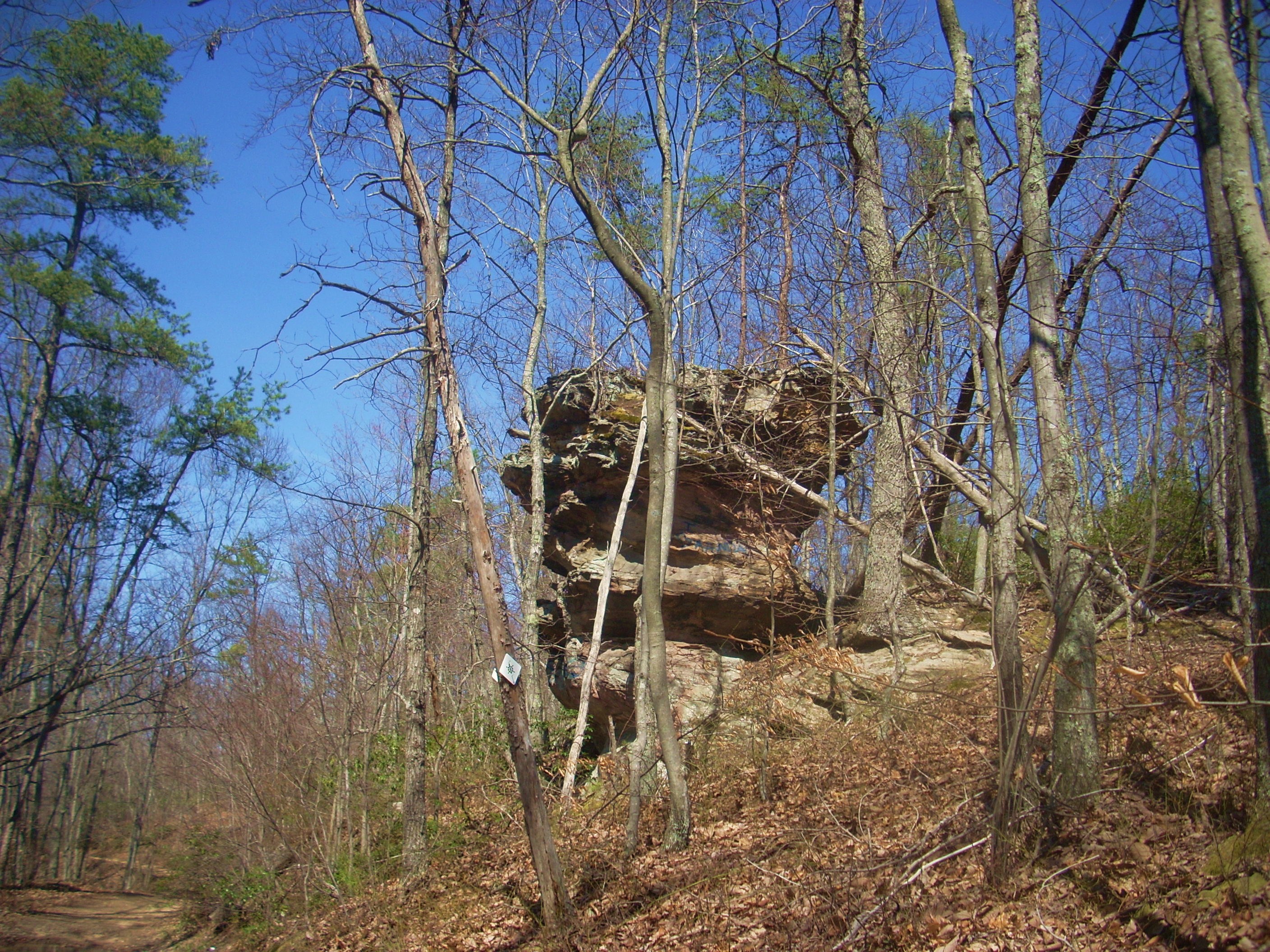
Soon you’ll spot a little hill up ahead and the path will actually form a question mark shape around it. As per the Kentucky Atlas and Gazetteer this hill looks to be at the southern end of Hoosier Knob, the general contours of which are formed by the Shetland Creek. There’s an interesting little cave/rock house along in here.
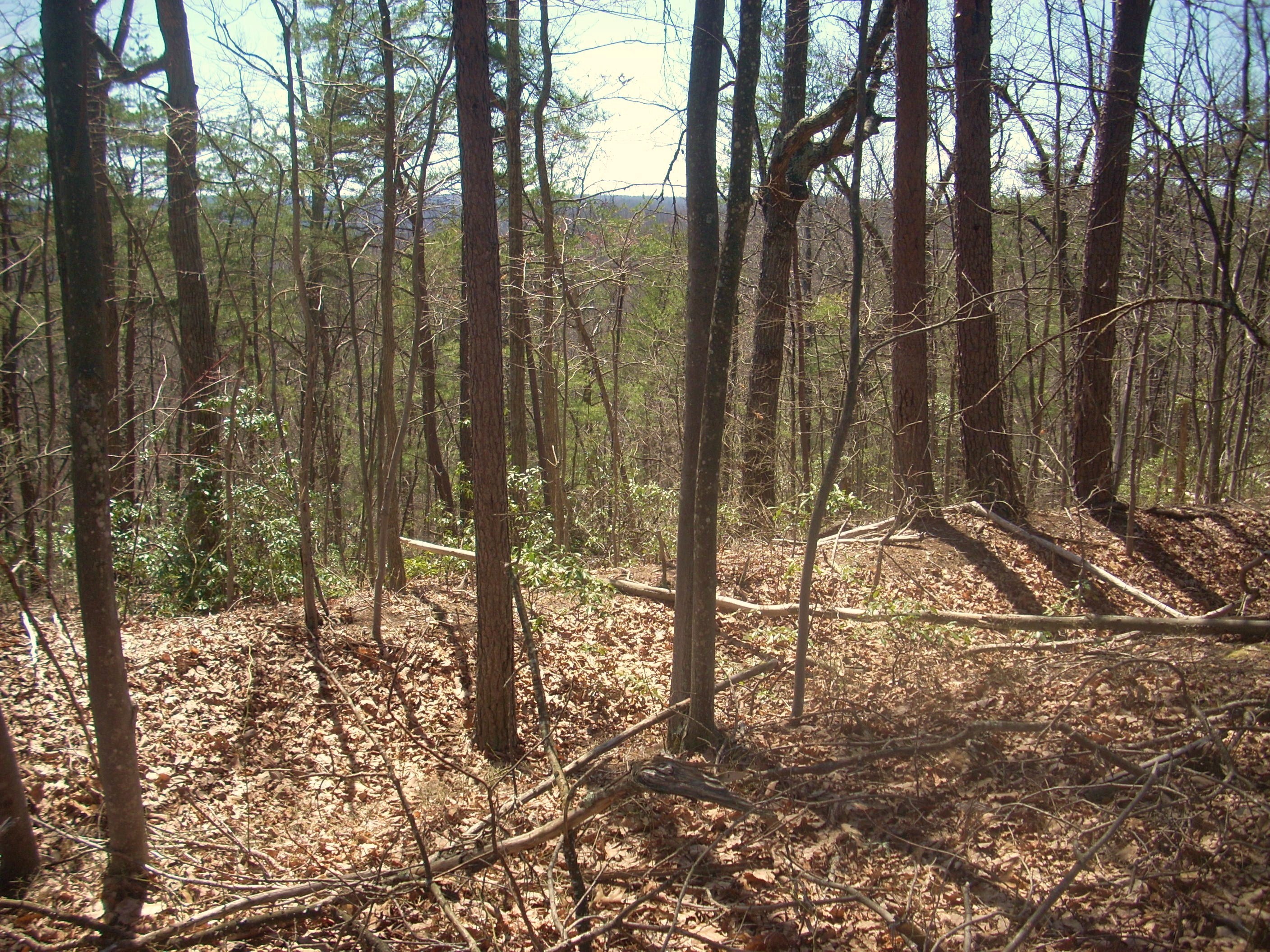
At the end of the question mark you’ll have rounded over to the eastern side of the knob which, prior to full foliage, offers a nice view of a wall of rock that you’ll arc around to your right…
Then, in making a final left curve you’ll be on an ascent up to the top of the hill. Nice vistas will partially open up to you through the trees in here, but when you get to the battle site you’re apt to be as amazed as I was by how well preserved it is. You can actually still see the trenches they dug! Sure, they aren’t as deep as they used to be with foliage debris having filled them in over time (they were apparently dug to be near shoulder-deep with some additional height being added by logs) but they’re still clearly visible.
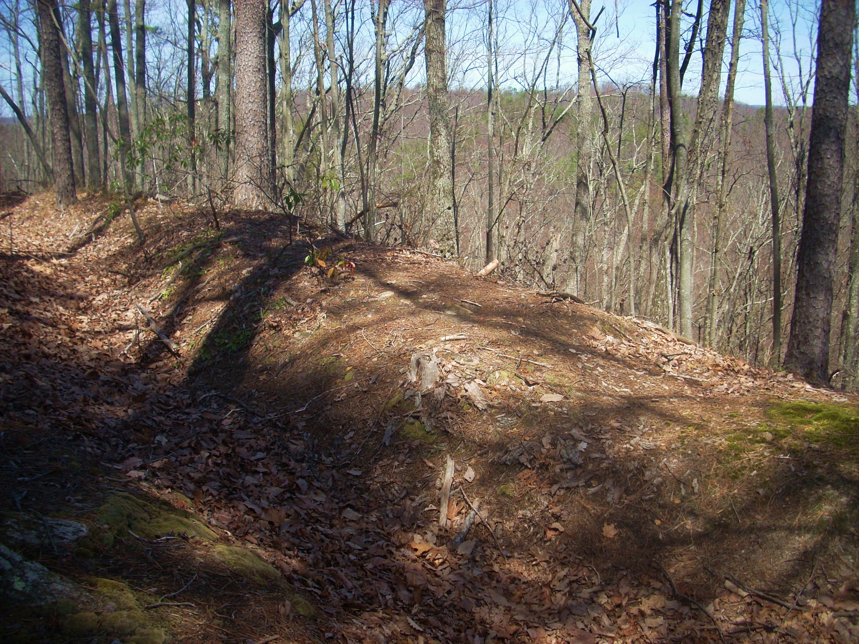
It’s here that the path will cross over a shallow area of the old trench to put you inside the circle it forms all the way around the top of the knob. It’ll then lead you around it. To me this was astounding! The trench was still clearly visible all the way around, serving as a grim reminder of what transpired here!
Let me remark also on the foliage – or lack thereof today – because when I read one of the markers it was clear that if I really wanted to experience what this battle was like I’d have to come back a little later in the year. Apparently the soldiers trenched in up here were attacked by a force that was almost totally concealed by foliage and underbrush, yet in looking at the sparse foliage in my pictures you can’t fully imagine it.

This being the case, however, there was still plenty for me to envision here on this day. So much so, that it was hard for me to get my mind around it. So much death, so much anxiety, so much hardship, so much sorrow - and the worst part of it was that of the guys that did survive the fighting, most apparently contracted disease as a result of the ordeal and died anyway! I began to head back down the path... I wanted to check out the steps I’d seen on the other side of the parking lot and find out where they led...
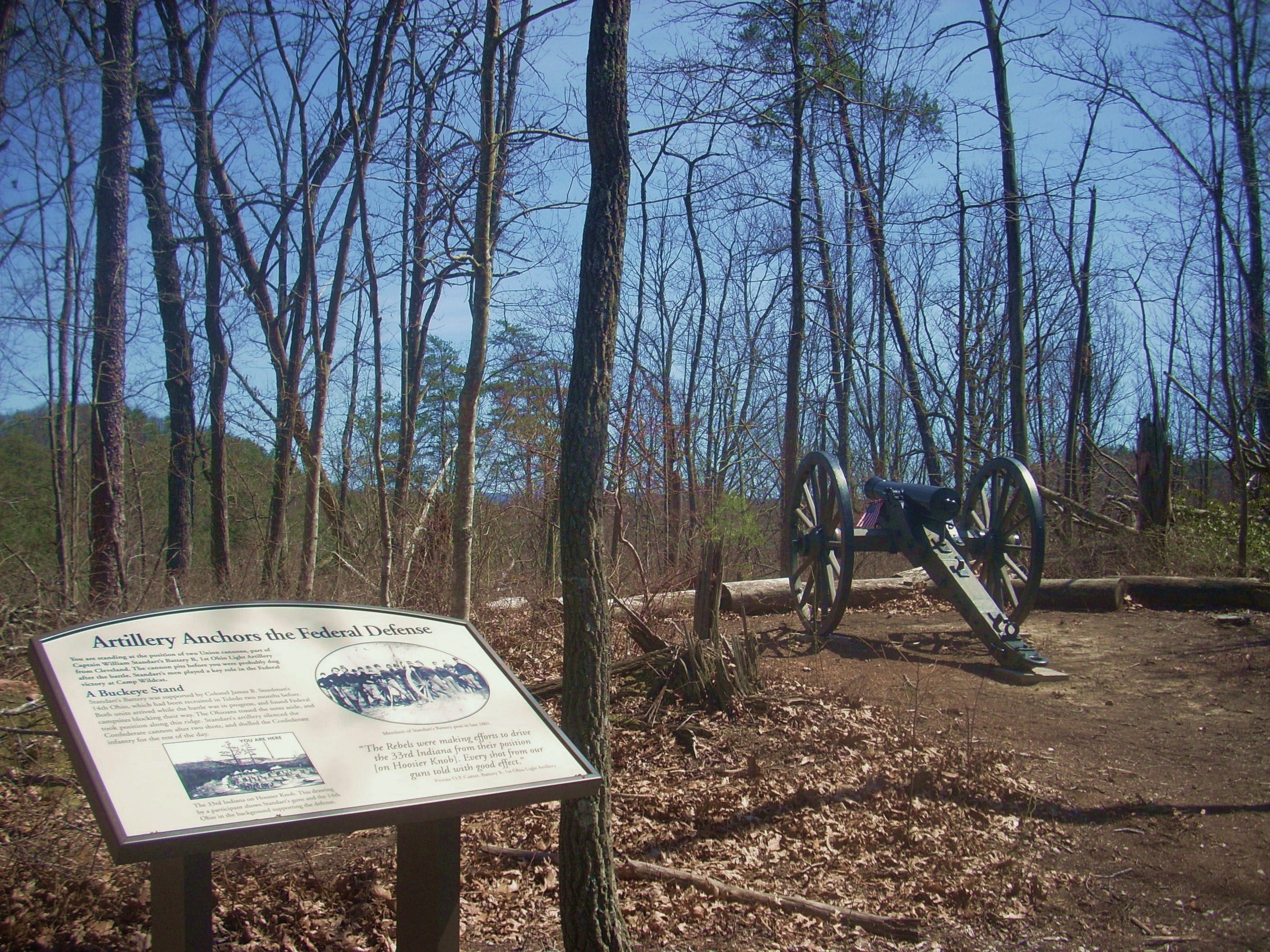
As it turned out they’d deposit me right in the middle of Infantry Ridge Trail where some of the soldiers were encamped and I had a choice of two directions here, neither of which went very far. The left prong led me past an old Civil War cannon before it quickly dead-ended. They won’t let you go further because it’s considered a fragile archaeological area, but there’s a rock house just a little further on (Hospital Rock) that once sheltered some of the wounded from the war.
Turning
around to follow the right prong I was soon led back to the same road I entered in on (
At this point I decided to go a very short distance
up FR736 to check out the last little out-and-back trail before heading back.
It led me down to a spot called
Having seen this, I had one last thing to do...
I just had to at least travel a little way along the Trace.
Indications on the sign here were that the
This was an interesting
route, but there’s no way anyone would consider traveling this “road” in
anything but an ATV or dirt bike. No way. Wait…
“What in the heck was that noise coming my way?”
A little pickup truck!?! I
couldn’t believe it!
To return to the parking lot just walk back to where you split off for the Sheltowee and take a left on the gravel road (FR736). The lot will come up quickly on your left. This is a great, often overlooked historical spot to visit!
DIRECTIONS:
I’m going to go directly from the pamphlet that’s
provided out here because they’ve done a great job of this…
Take the