Sheltowee Trace
Gray's Arch Picnic Area in
Nestled in between a string of rainy days, the
weather was supposed to be cloudy today but with no precipitation and I went out
in the hope that the trails wouldn’t be too wet. This path does
eventually lead down to the
When I
arrived at the trailhead parking lot I met an older couple who were just heading
out along with a hiker who was just coming in. The latter had brought a sweet dog
that looked like a yellow Labrador Retriever. I love these dogs, but I did
something that really bummed me out! As we talked I must have accidentally
pressed my dog repeller device because it clearly irritated the dog (I use this
device to deter
any unfriendly, unleashed
dogs on the trail and this dog was neither). At least I know it works now, but I sure felt pretty
bad! The woman told me something I didn’t know. She was from
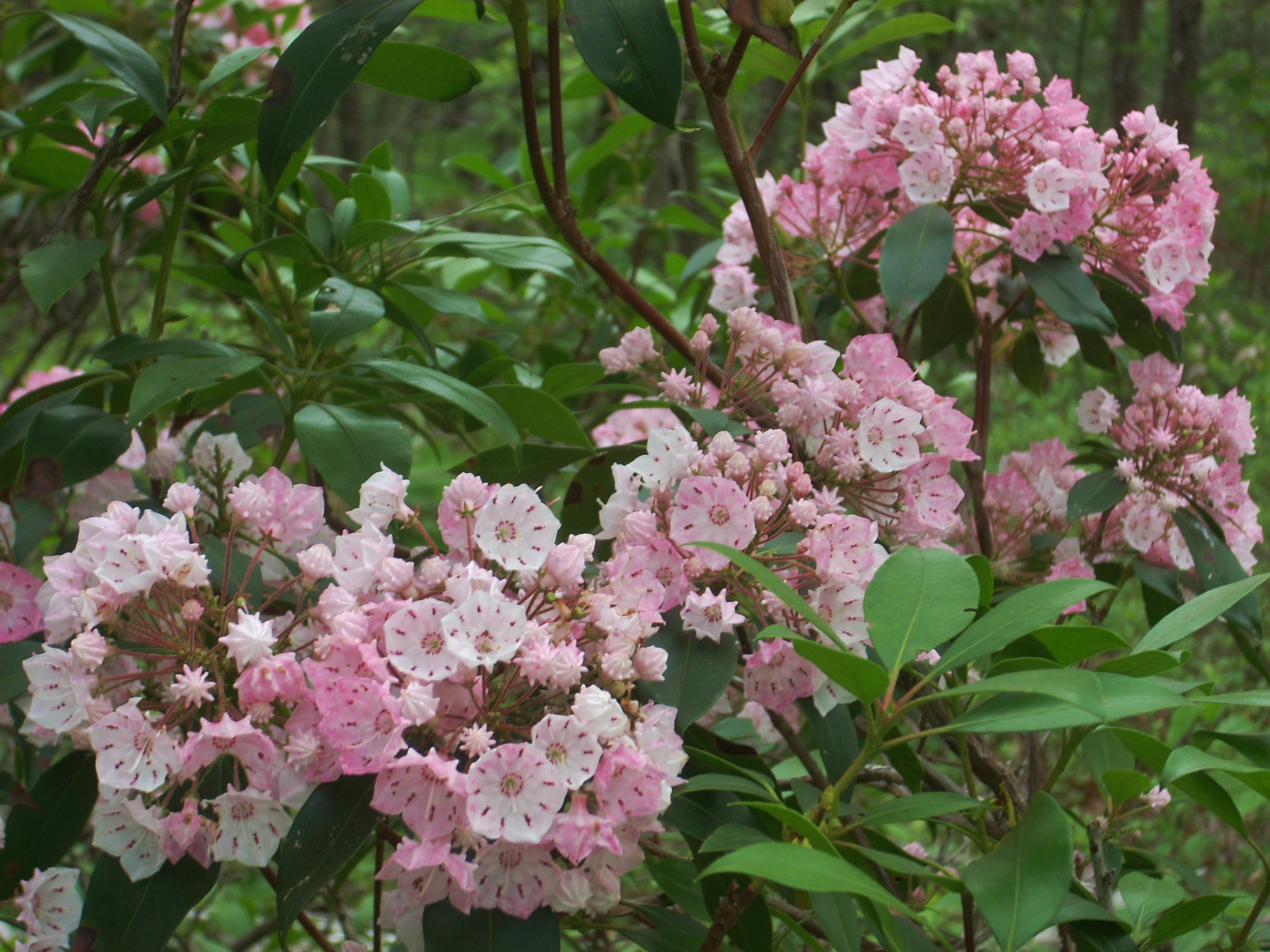
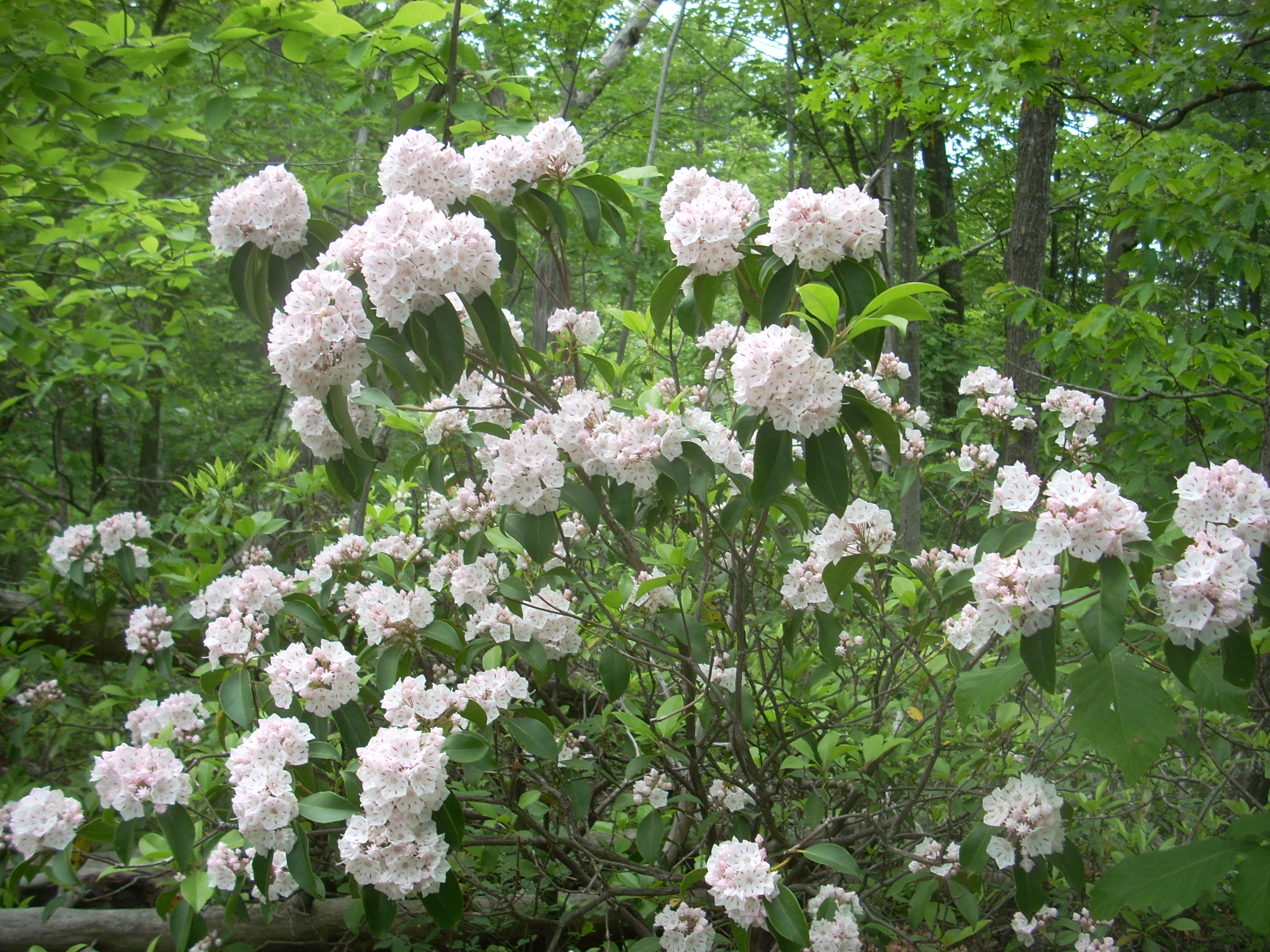
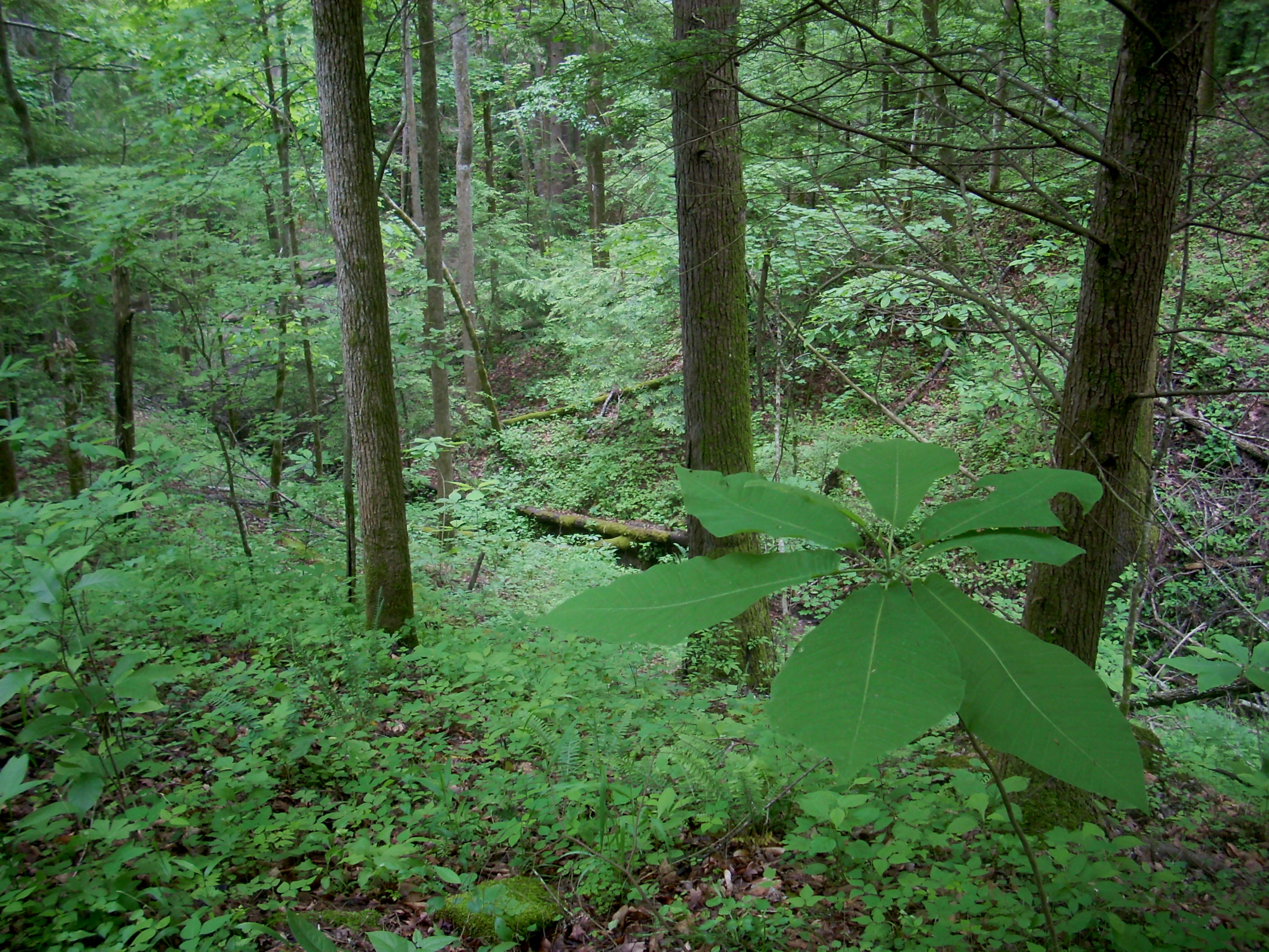
Anyway, as I began on the path I was walking through the woods alongside the gravel road (Tunnel Ridge Road) that I drove in on. You’ll cross it very soon once you emerge from the woods and the path will continue on the other side at about the 10 to 11 o’clock mark. From here you’ll begin that long stretch of path I mentioned that runs along the tops of different ridge lines. I'd say that about the first half of the trail today (maybe 2 ½ miles) is defined by both a sandy path and by trees and bushes with peppermint colored blooms. Some of these were pink on white, others were white on pink, but I thought they were all quite picturesque and I took a lot of pictures. Unfortunately, I can’t find what kind of plants these are.
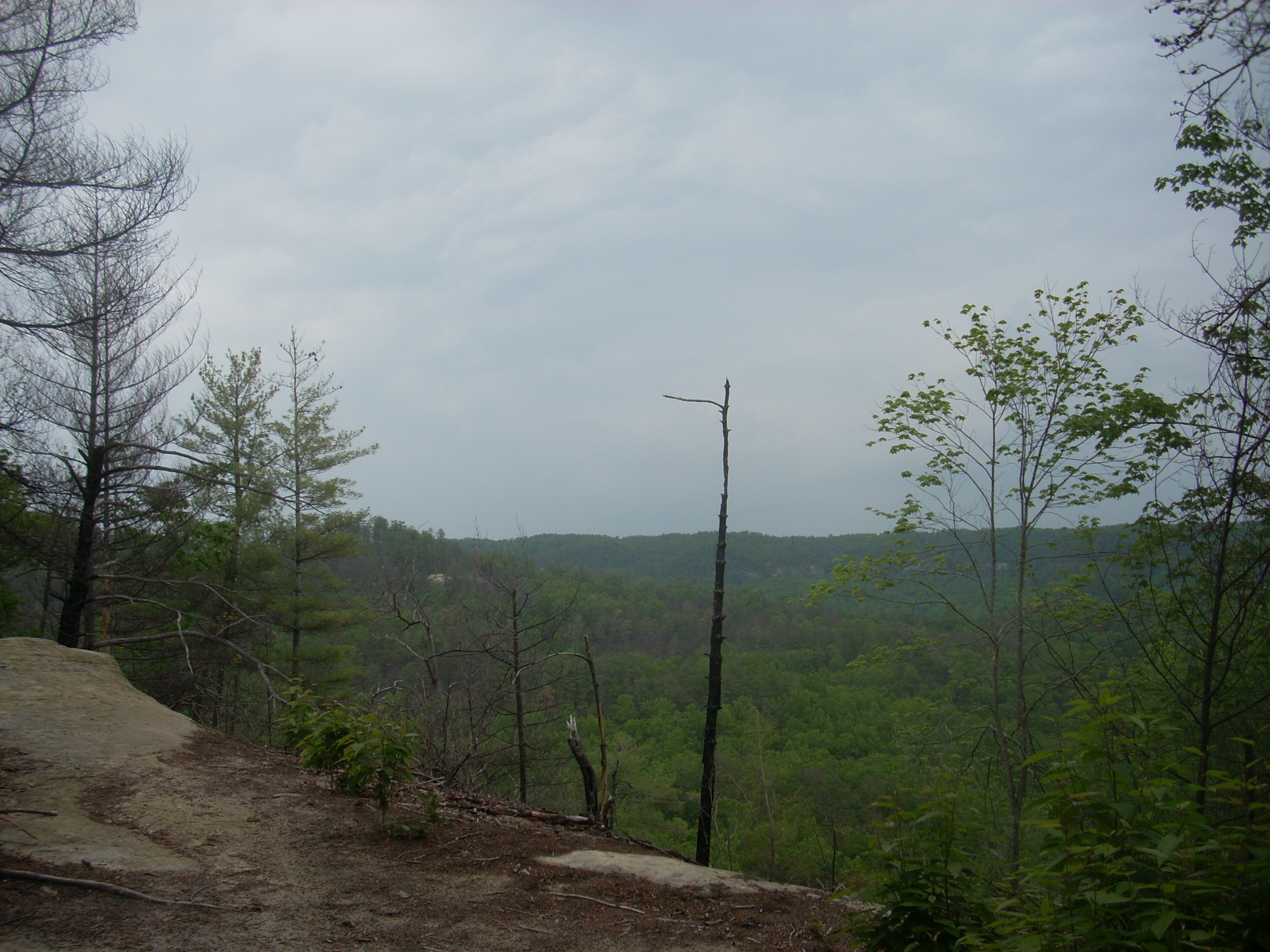
Rush Ridge Trail will shortly split off to the left while you’ll continue right. Because of the foliage your views will be limited this time of year (with the exception of one especially nice vista coming up) but you will catch occasional glimpses of the other ridges that surround you in the midst of this sea of green. It's outstanding. You can certainly see why the gorge is such a popular place!
Soon you’ll spot what looks like a nice camping location down below you to your
right and then the
Another set of signs comes up quickly. You’ll
go straight again to merge with the Rough Trail. If you took a left you'd
be on your way to Gray’s Arch but next up
for me was the aforementioned vista. It lies near the ½ way point of the
“out” portion of this out-and-back hike. Here you'll have one of the nicest views in the area as you look out over a carpet of
little green cotton balls. If you look to the left in the scene below I believe that the
furthest rock face is same one you'll see when you eventually reach
the
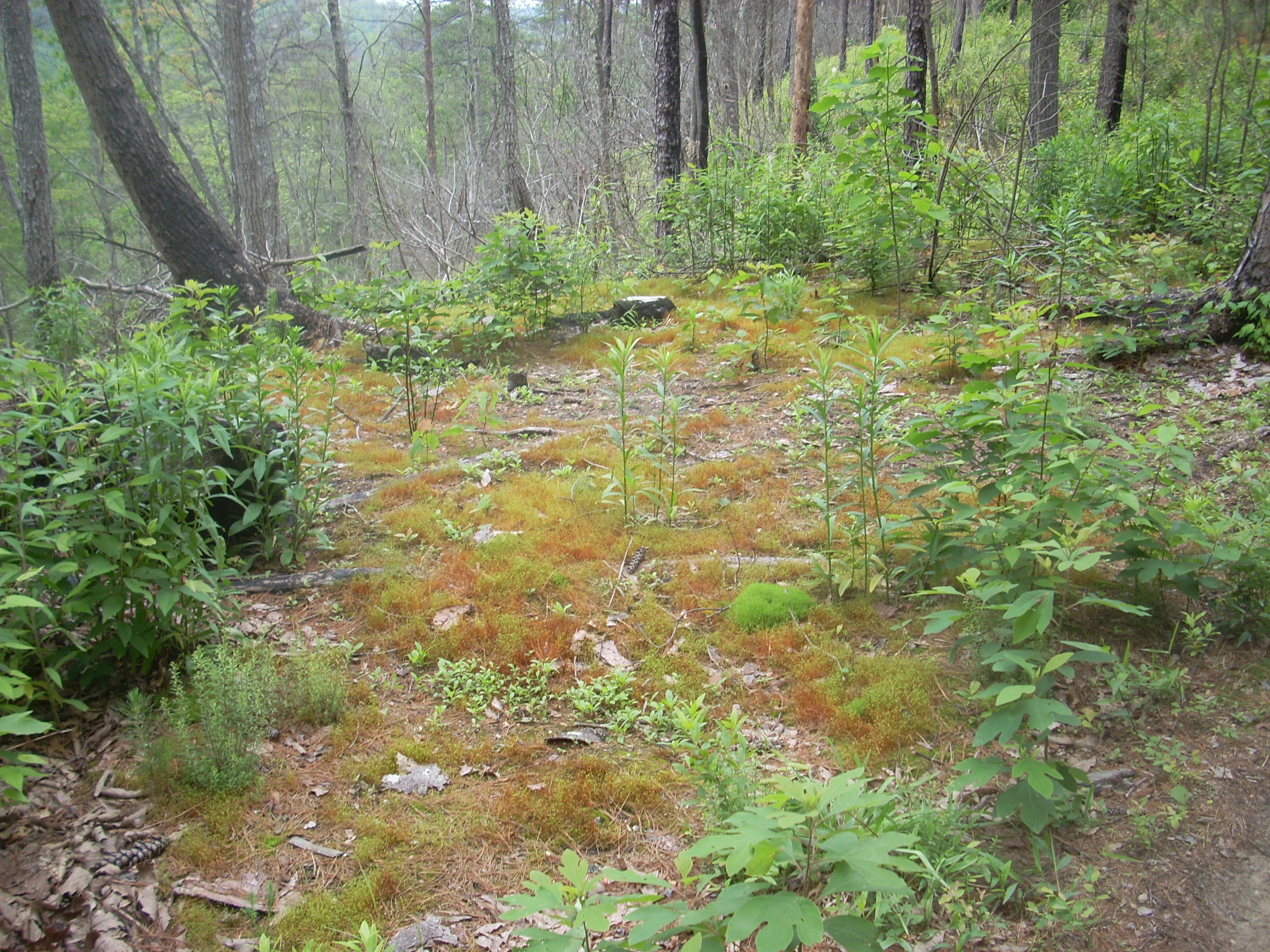
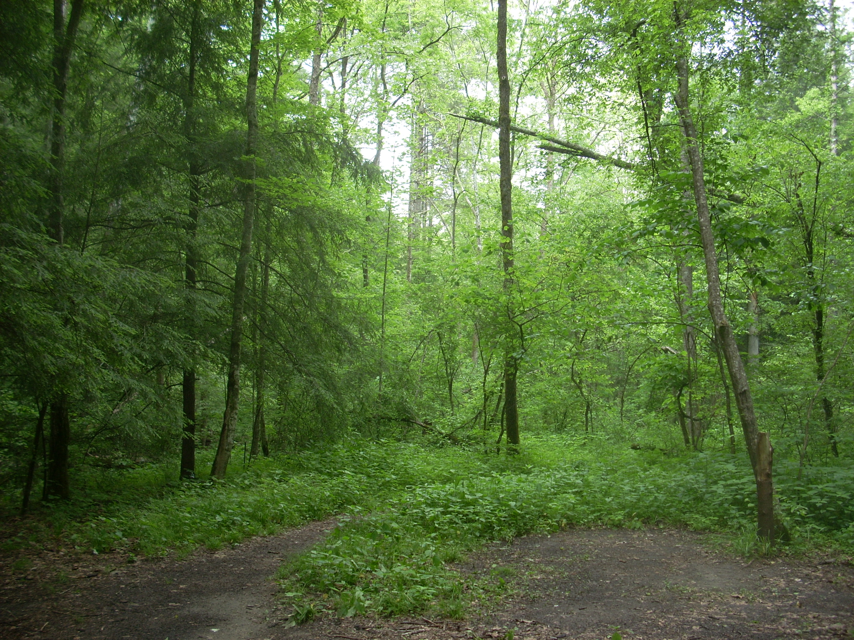
None of the trail up on this ridge top seems to be made of dirt, by the way. It’s all either sand, protruding tree trunks or solid rock. The path is really pretty straight too, so you’ll know when you’re about to begin your descent when the trail starts getting a lot more curvy. There was one patch in here that reminded me of Christmas with the red moss mixed in with all the green!
Your descent will start gradually but it’ll soon get quite a bit steeper as the scenery shifts to a much denser green. In here the vegetation reached up to my midsection or higher and I began to notice the gnats quite a bit more, regretting that I had lost my mosquito net cap earlier this spring. Much of the rest of the afternoon was spent swiping gnats away.
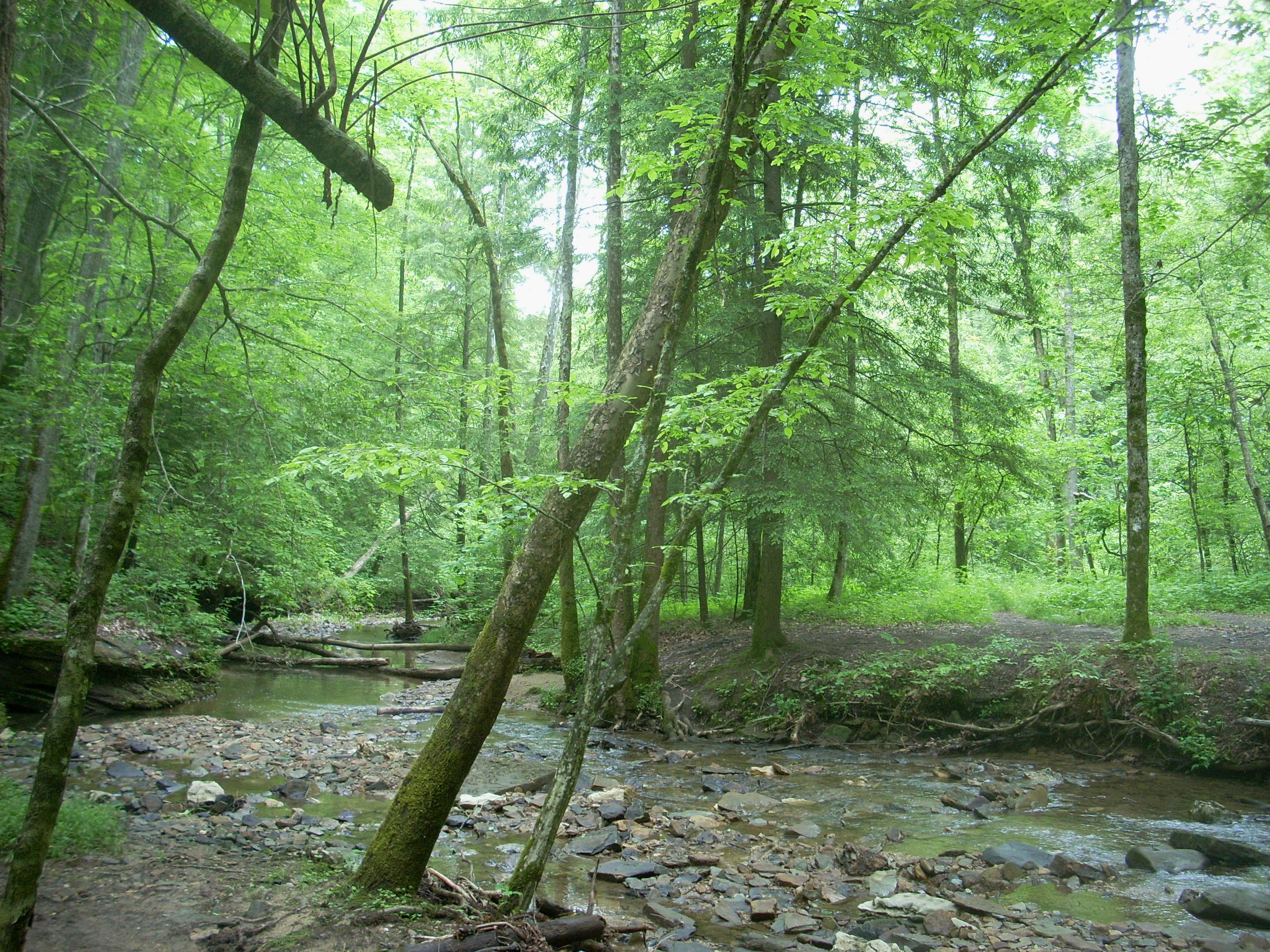
When you reach the valley floor you’ll begin an intense flirtation with the creek that helped to carve it - Chimney Top and some of its tributaries. I think I made 5 stream crossings from this point - not including the Red River – and there was one spot where the path came so close to the bank that I could have sworn that the trail designer wanted hikers to fall right off the side and into the water. :)
Anyway, after the first of
the stream crossings (over the right fork of Chimney Top Creek) I met with what
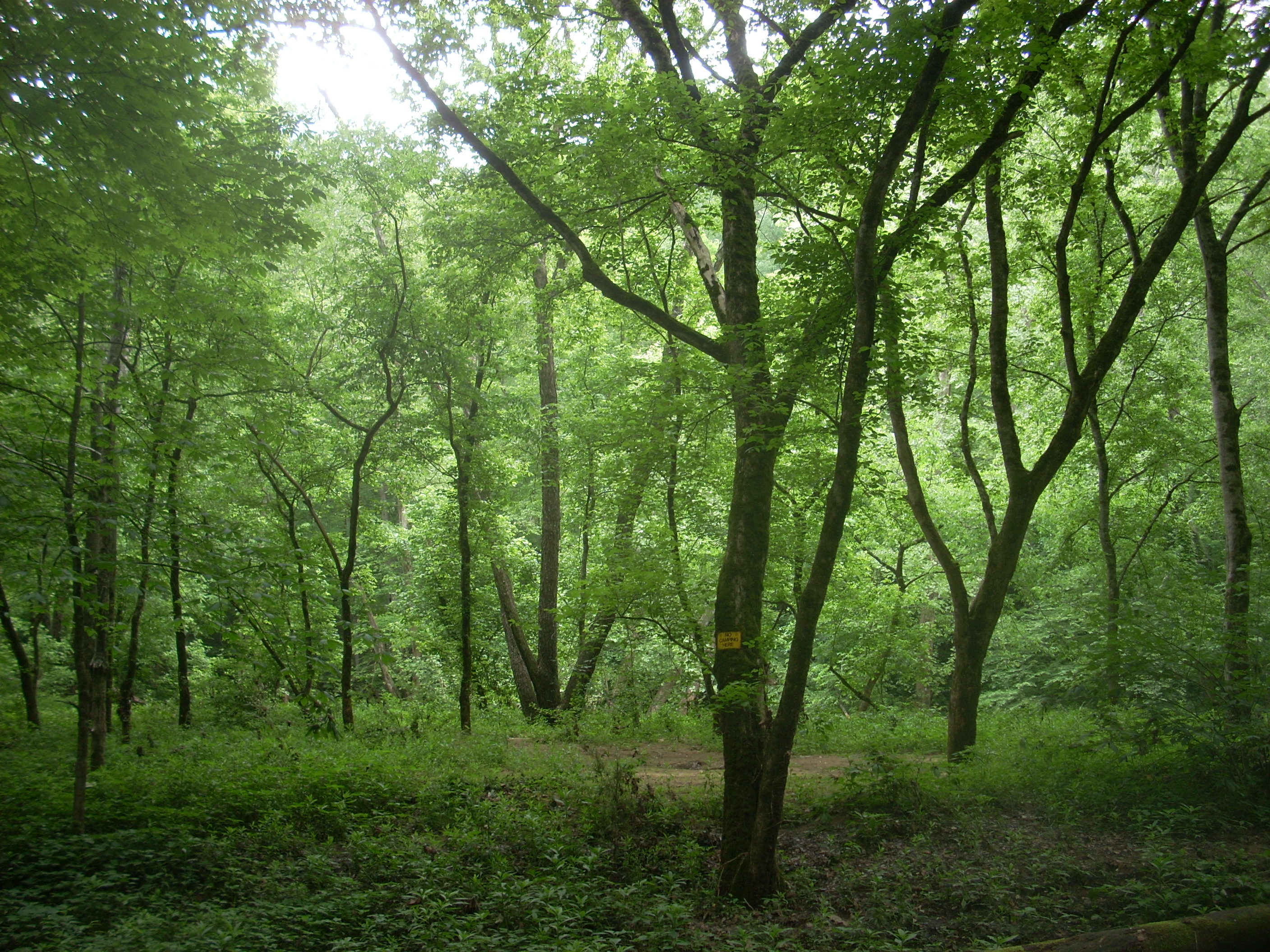
looked like a very nice little camping spot. Camping is a little dicey
out here, however. I saw at least 5 perfectly beautiful camping spots that
had very clear “No Camping” signs visible over the course of the day. Most of these were just ahead along the banks
of the Red River. One sign I saw indicated:
The following are not permitted:
Camping with 300 feet of any developed
road.
Camping with 300 feet of any developed
trail.
Camping in any picnic area or parking
area.
Camping within 100 feet of the base of any cliff, or the back of any rock shelter.
After the second, very sandy crossing over Chimney
Top I came to another trail intersection. I don’t know why, but it seemed
like I should surely be taking a soft right here. Wrong. This is
where the Rough Trail splits off from the Trace to eventually intersect
As stated, I think I crossed the water 3 more times
before beginning an ascent along a moderate slope. This section of trail
took me in the form of a “C” (starting from the bottom of the letter). I
first followed all the
way around the mid-level of another ridge line and then began to descend on a series of switchbacks toward the Red.
It’s a bit confusing in here though. The “C” will end and then the path
will zig down left and then zag right, but there will be other paths which
extend outward from the “elbows” of these. I stuck to the zig-zag pattern
and was fine but when I finally did reach the
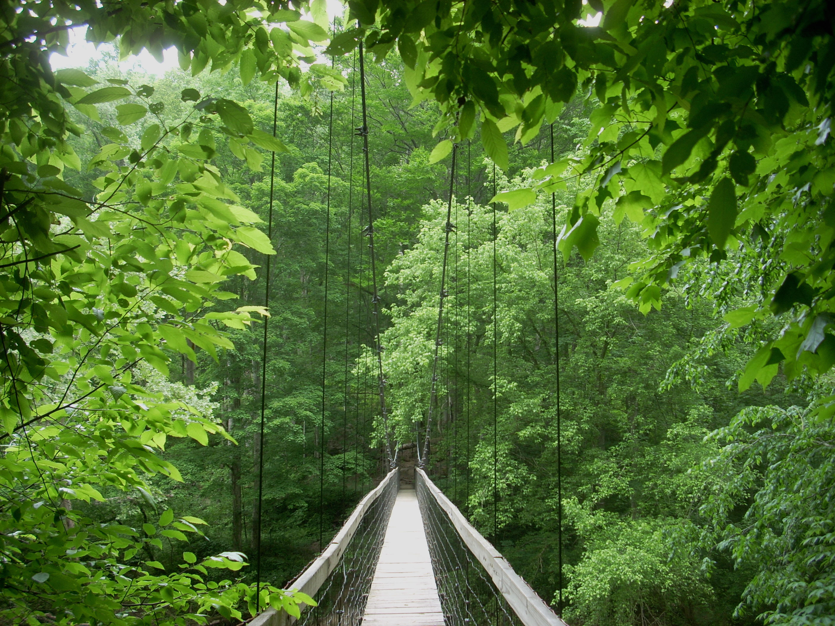
Wanting to be positive that I was headed the right way, I consulted the Sheltowee Trace book I had with me (link here). It indicated that I was to follow the Red upstream, but looking at the water it appeared totally calm and I couldn’t tell which direction it might be flowing. I was heading east, however, and this proved to be OK because after about another ¼ - ½ mile I started catching glimpses of the bridge.
Can
I ever tell you that the
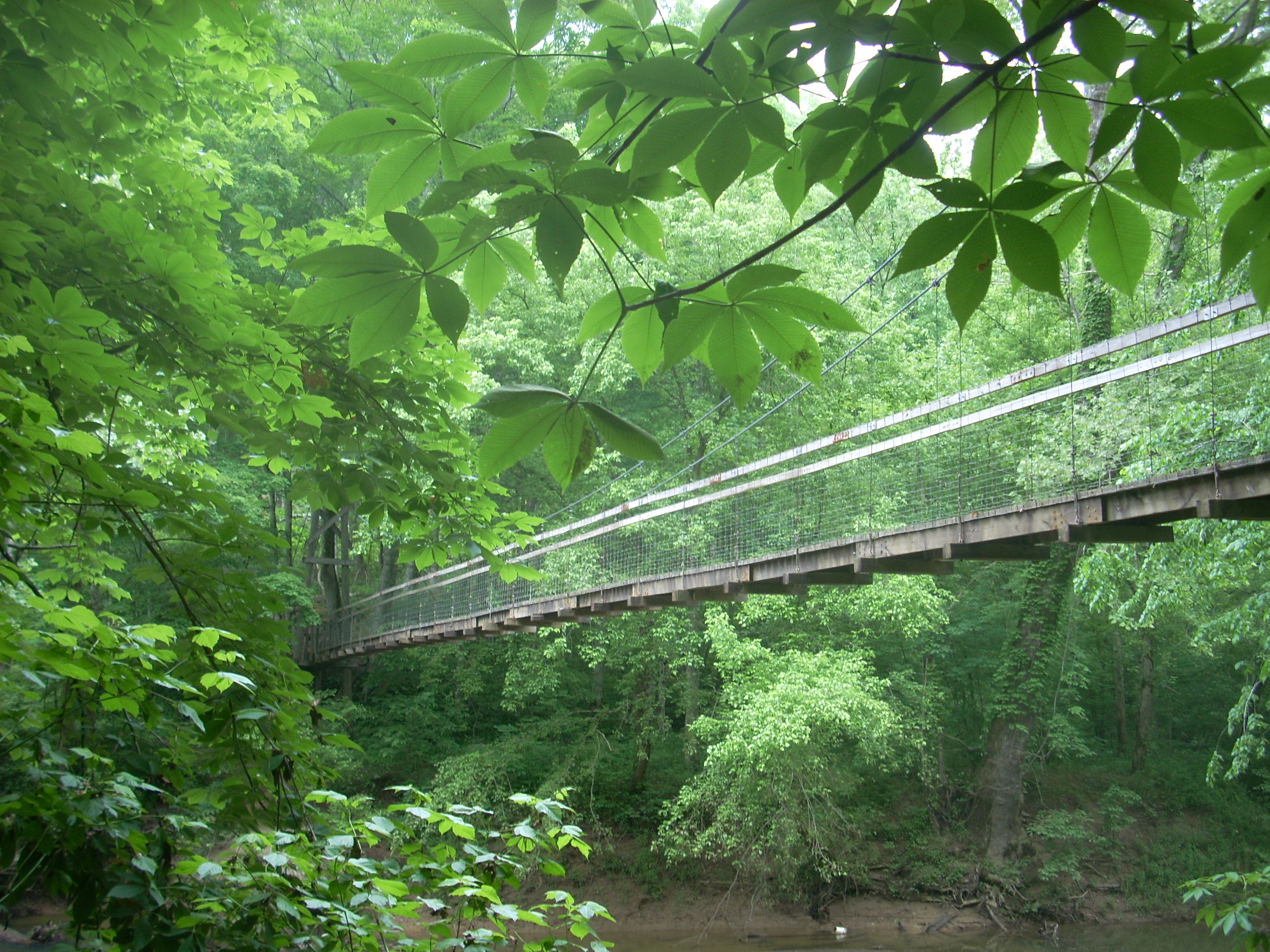
You won’t want to leave this area anytime soon after having traveled about 5 miles to get here so by all means stay and enjoy it a while. I certainly did – and I took about 20 pictures too! After you cross the span it looks like there’s a parking area a little way down the bank if you took a left, but the trace looks to continue straight up the hill. There’s a road up there too, but I decided to save all that for the next time and head back.
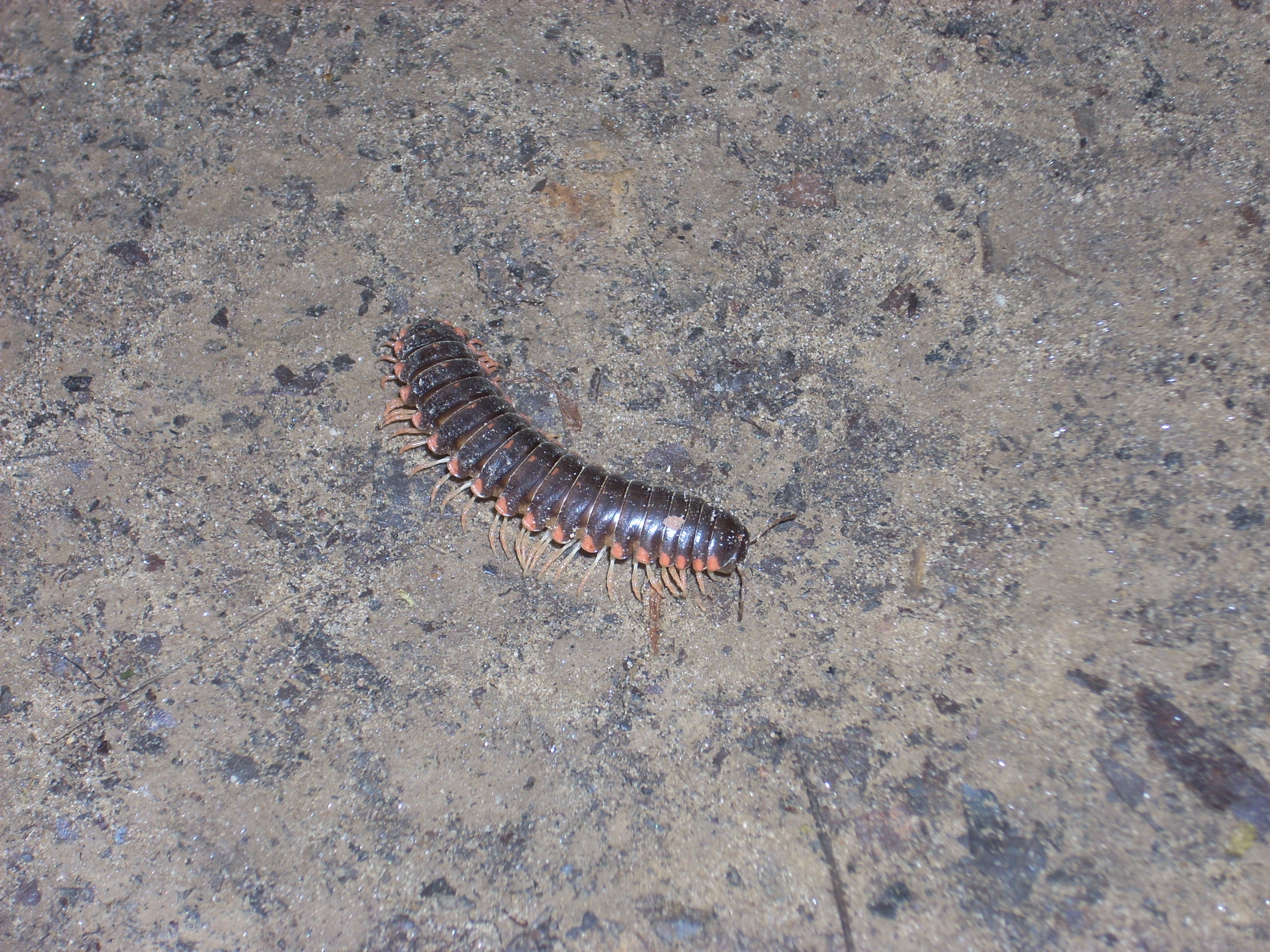
…and as I was leaving it appeared that “someone” wanted to say goodbye!
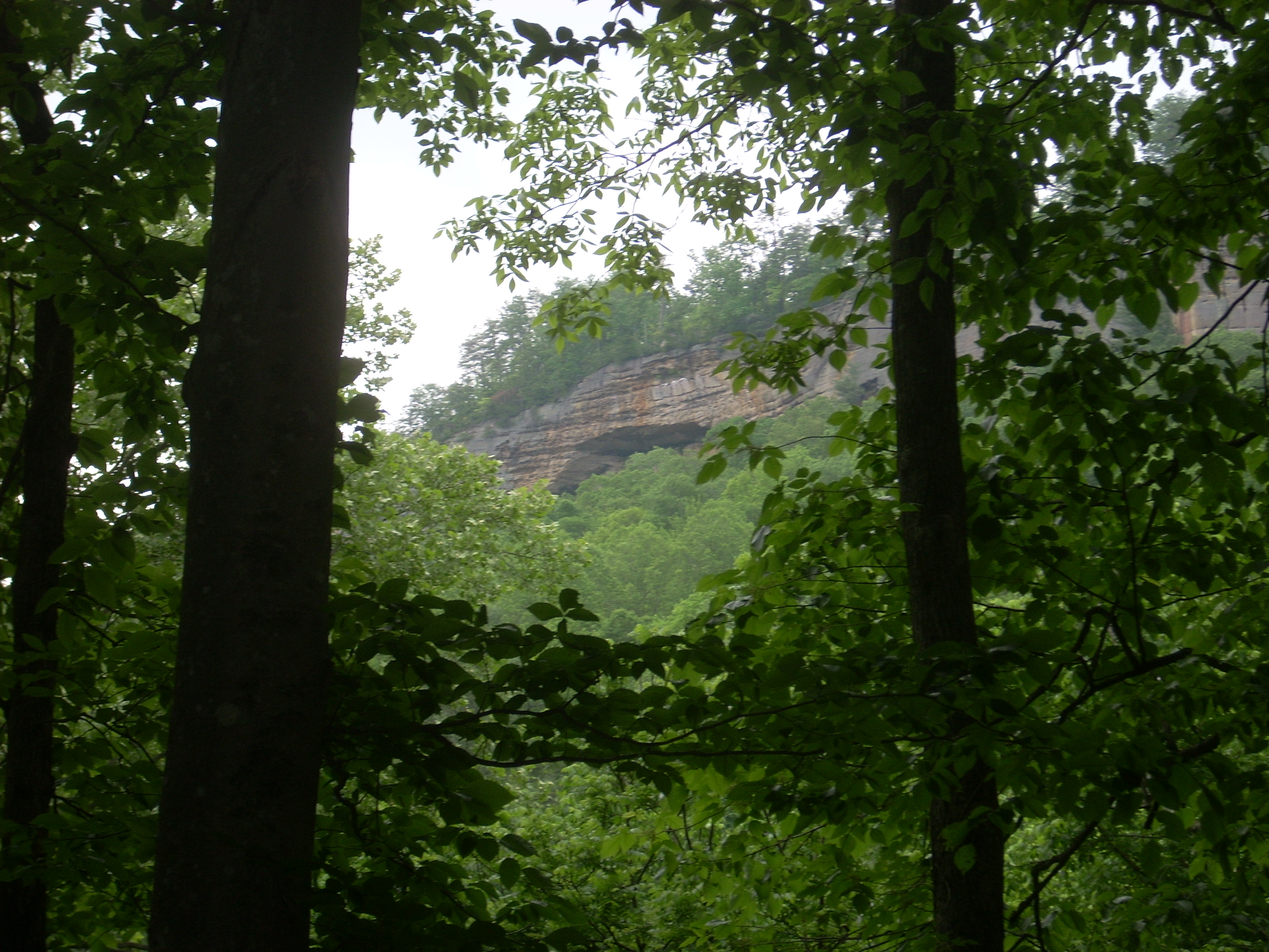
Oh… and that rock face I saw from the vista earlier? It appears that there’s a rock house/overhang in it too. To be honest, I actually didn’t notice this rock face at all until it caught my eye through the trees on the way back.
What did I notice when I got
back to the car? I had a flat tire!!! Luckily I had a can of
Fix-A-Flat in my car. I think
it’s always a good idea to have one of these in your trunk. I’ve found
that they really do work. If they don’t completely solve the problem,
they’ll at least enable you to reach a spot where you can have it properly
checked out.
DIRECTIONS:
Take exit 33 off the