Sheltowee Trace
FS906 to White Sulphur
Spur Trail at
Aaaaar!
This section of Sheltowee be cursed! Last year in the
stretch before this one (KY1274 to FS906) I forgot my camera! I’ve still got
to go back and get the pictures! Today I got to the first
rise and my batteries went out! I headed straight back to
Strike up
another life saved by intelligent, considerate driving. The
life that was saved might have been that of the dog that ran right in front of my car.
It might also have been the fool behind me
riding my bumper (behaving like a lower life form than the dog). It could
also have been my life or even all 3 of us. I was able to come to a stop without
having to slam on the brakes.
It occurs to me
that dogs comfort us with their unconditional love while people that drive
aggressively actually manufacture ill will where none previously existed by
igniting it in others. Those people, in turn, spread it
further. Obviously a serious spiritual transgression, why is
it that I’ve never heard it mentioned in a sermon – and when is it ever
necessary anyway? It’s the height of stupidity!
Would you actually expect someone to speed up for you since you’re being
a “bleep”? Heck, no! They’ll slow down to
spite you!
K…
Let’s try this hike again…
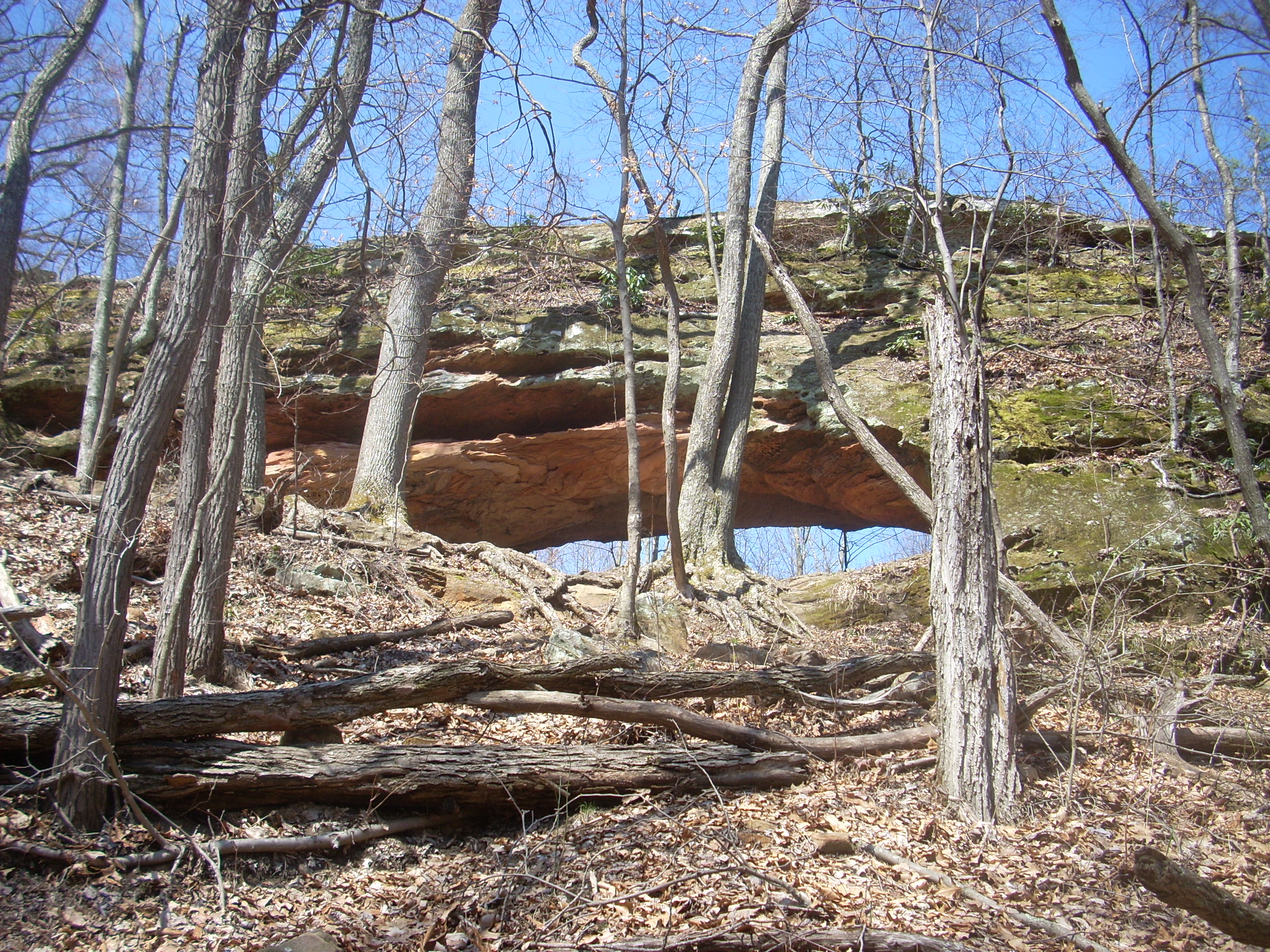
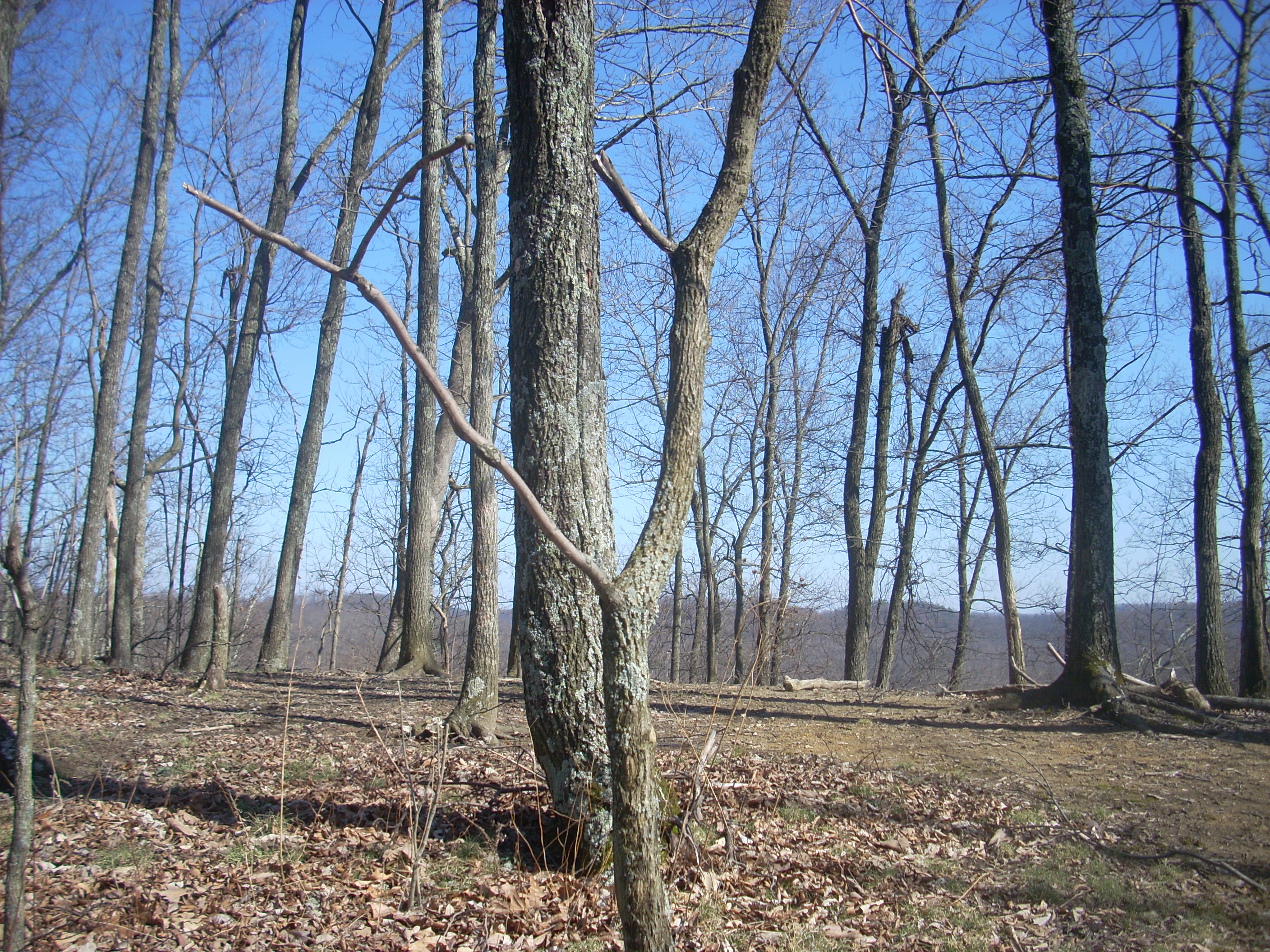
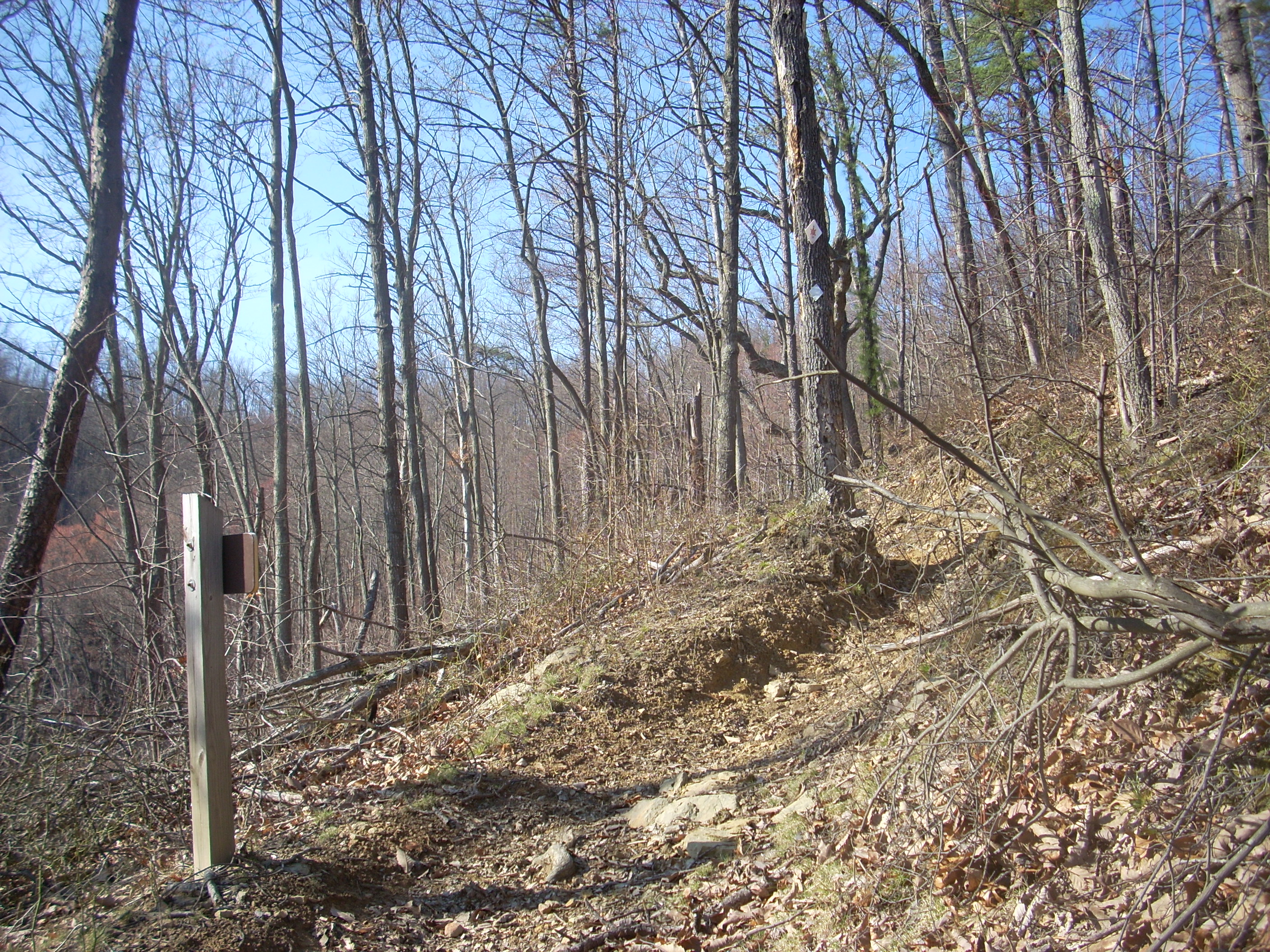
Beginning from FS906 what you’ll do is walk up and through the woods to about the mid-level of a ridgeline and then wind around it in an “S” pattern. The first curve in the letter is a little climb while the second is on an almost level plane, and you’ll end the pattern at a place they call Furnace Arch which you’ll see up and to your left. There’s a little spur path which leads up there and when you get to the top you’ll be treated to some great vistas.
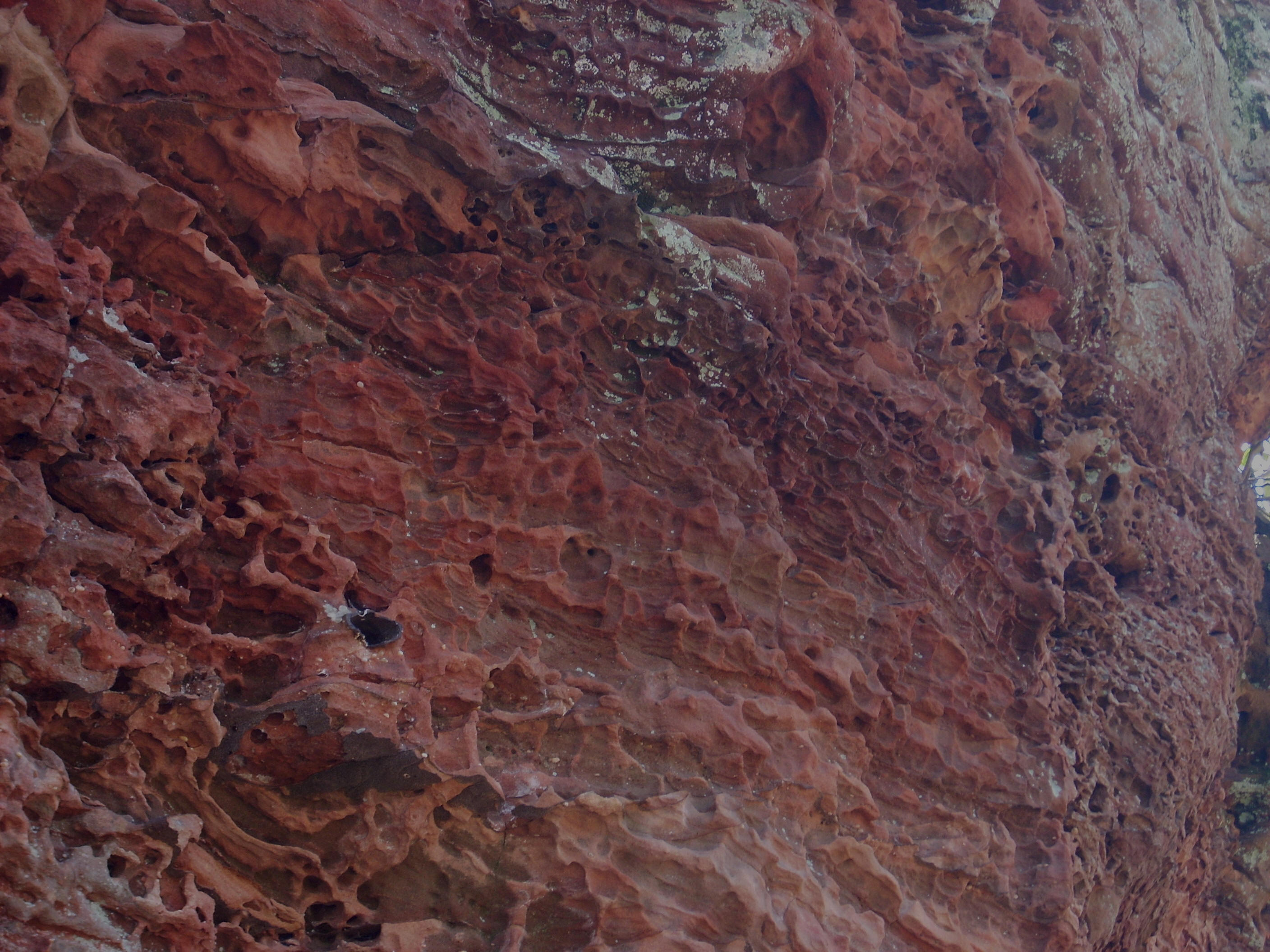
I assume (scary, huh?) that they’ve given it the name they have due to the color of the rock underneath which takes on kind of a burnt orange hue – and check out some of the interesting striations here…
After checking
this out, I headed on. The main path will get a tad bit
steeper here as you meander around in a question mark shape to the top of the
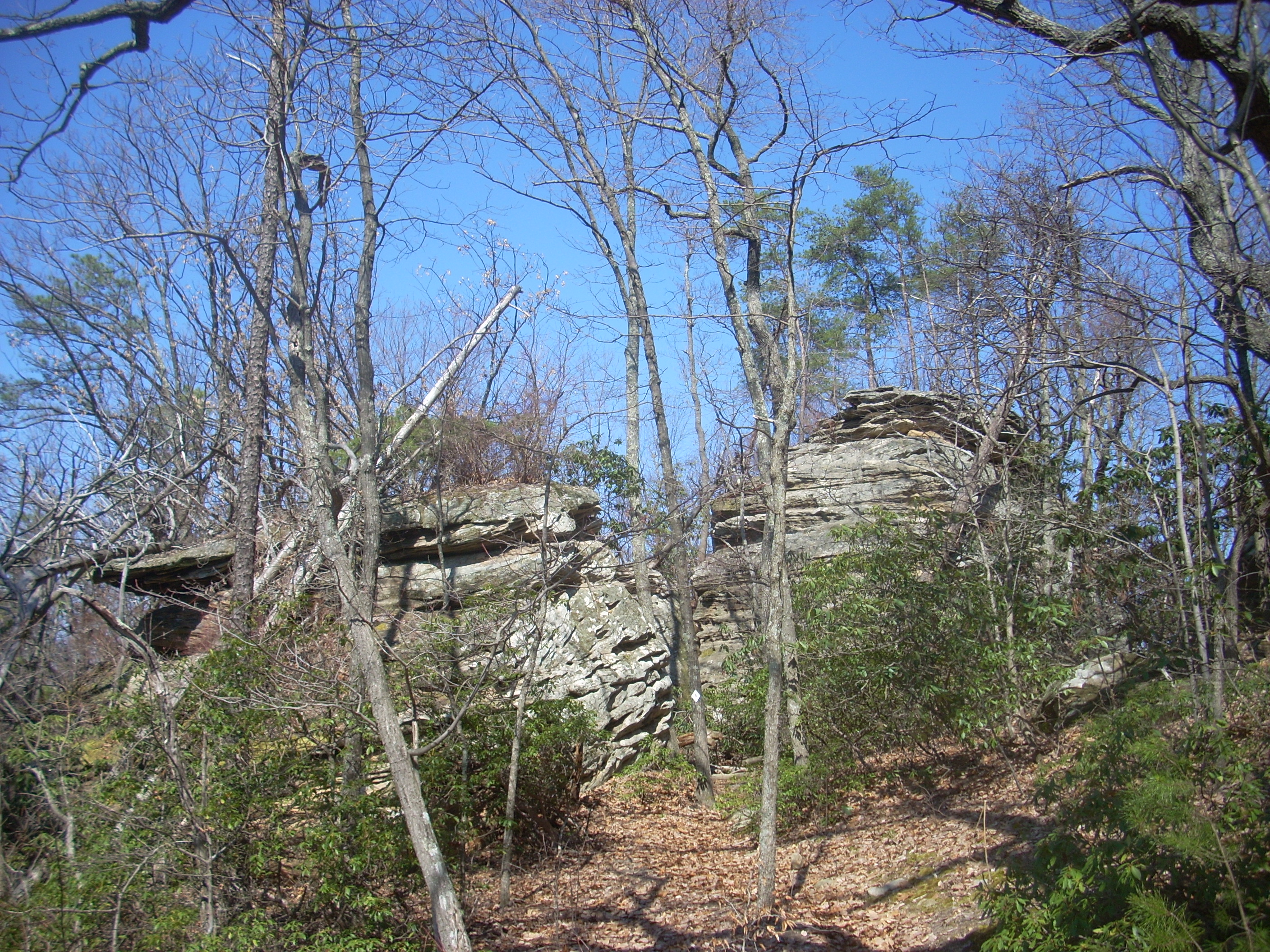
ridge, where you’ll stay for a while. Among the rock
outcroppings up here I ran into a gentleman with a couple leashed (thank you!)
dogs. I was impressed. To reach the arch
from
As mentioned,
for about the next 1 – 1 ½ miles the path will lead you through the woods along
the top or near the top of different ridgelines, sometimes passing by and
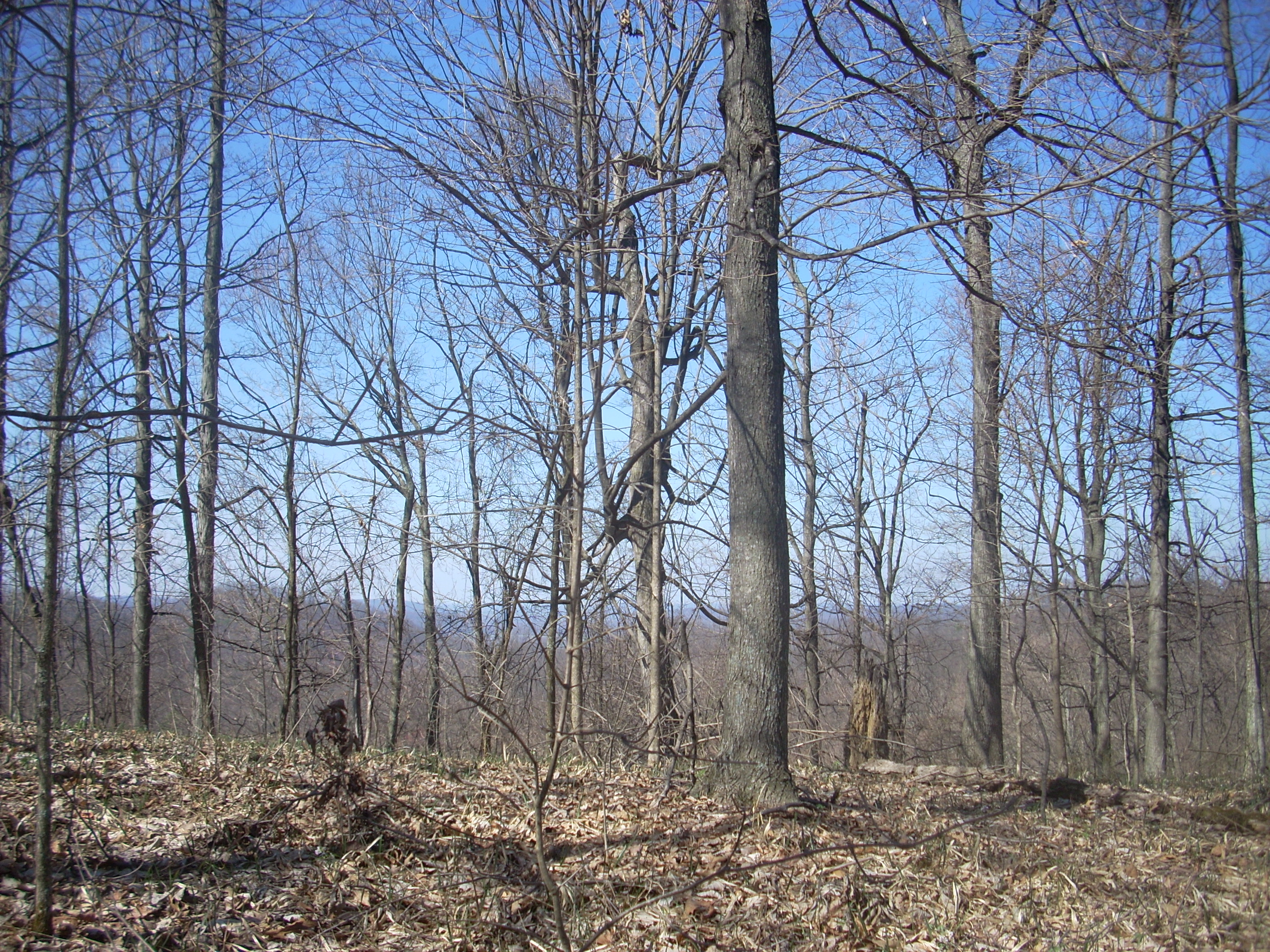
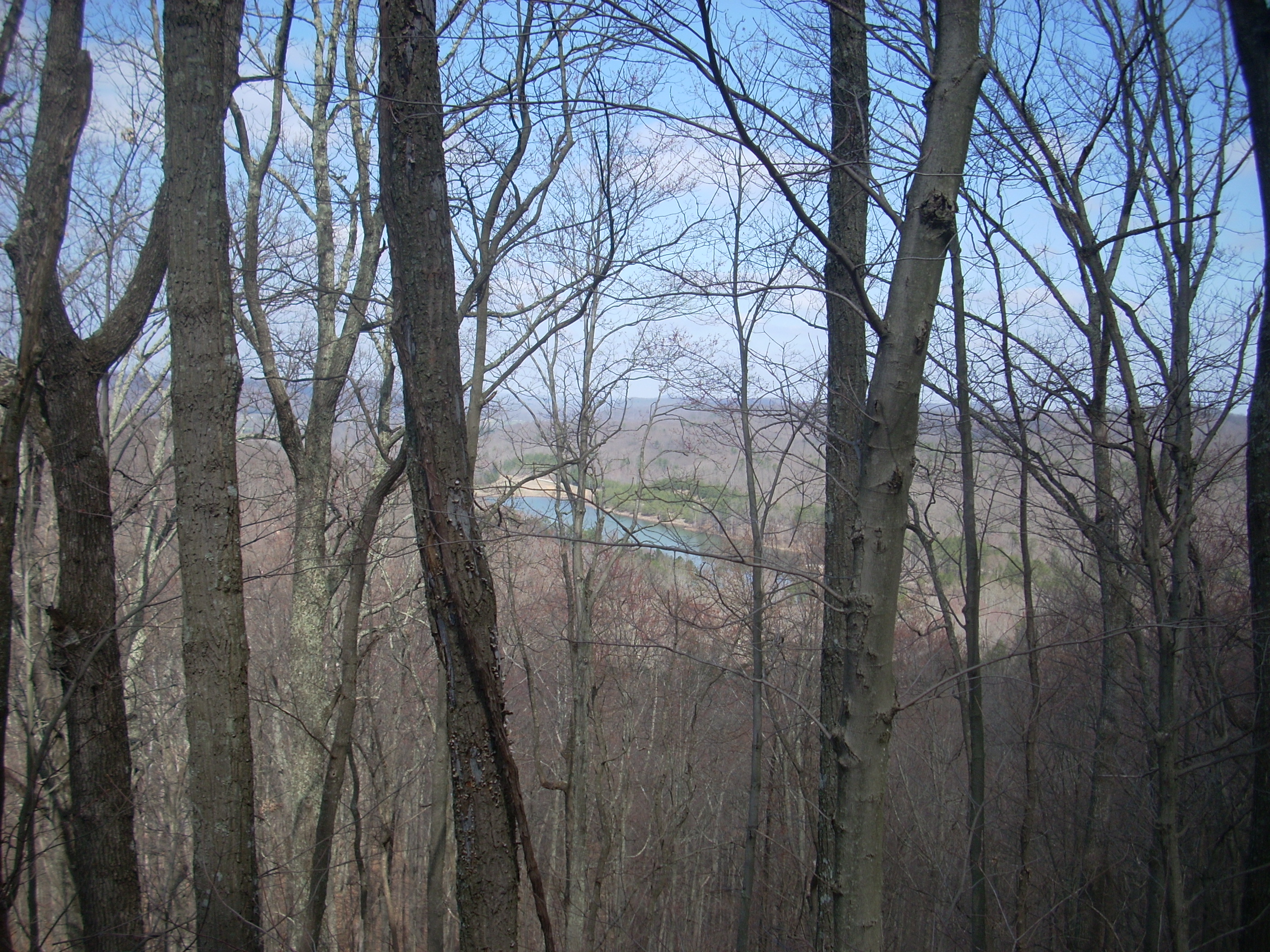
through sections of boulders. Great vistas abound,
and
It’ll take you a while to tear yourself away from here, but once you do the Trace will drop off the ridge top and begin a long, healthy downhill descent toward the lake. This has been made easier by a long section of switchbacks from which you’ll catch more glimpses of the lake which, on a warm day, will seem like a real oasis as you look at it and seriously consider a dip.
Reaching the
bottom, you’ll wind along Clear Creek which will soon drain into the lake.
You'll
arrive at KY129 (
By the way, if you’d decided not to take the Iron Furnace spur trail, you would have generally continued to wind along with Clear Creek. The only difference would be that you would have crossed directly over it instead of going over on the bridge that I had. I went that way on the southbound part of today’s trip and walked through maybe 2-3 inches of water for about 10 yards.
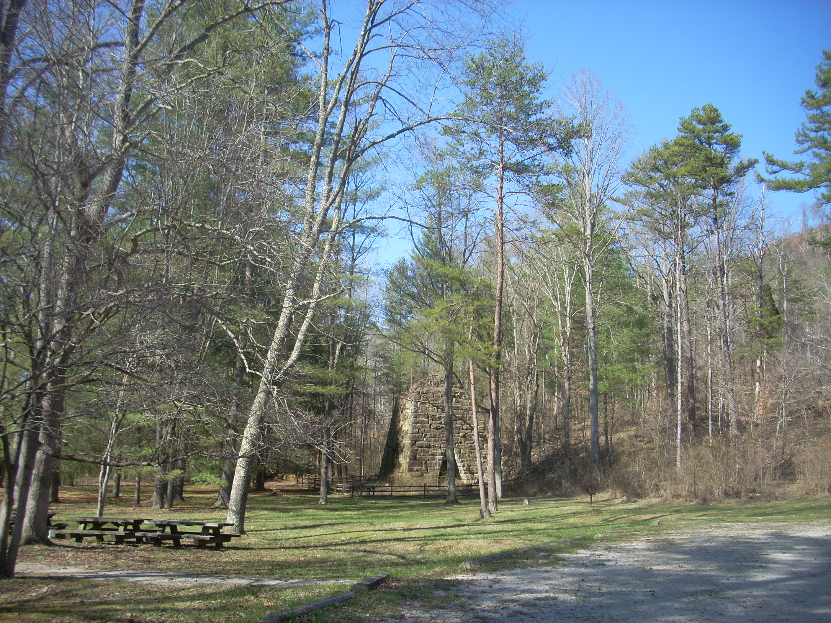
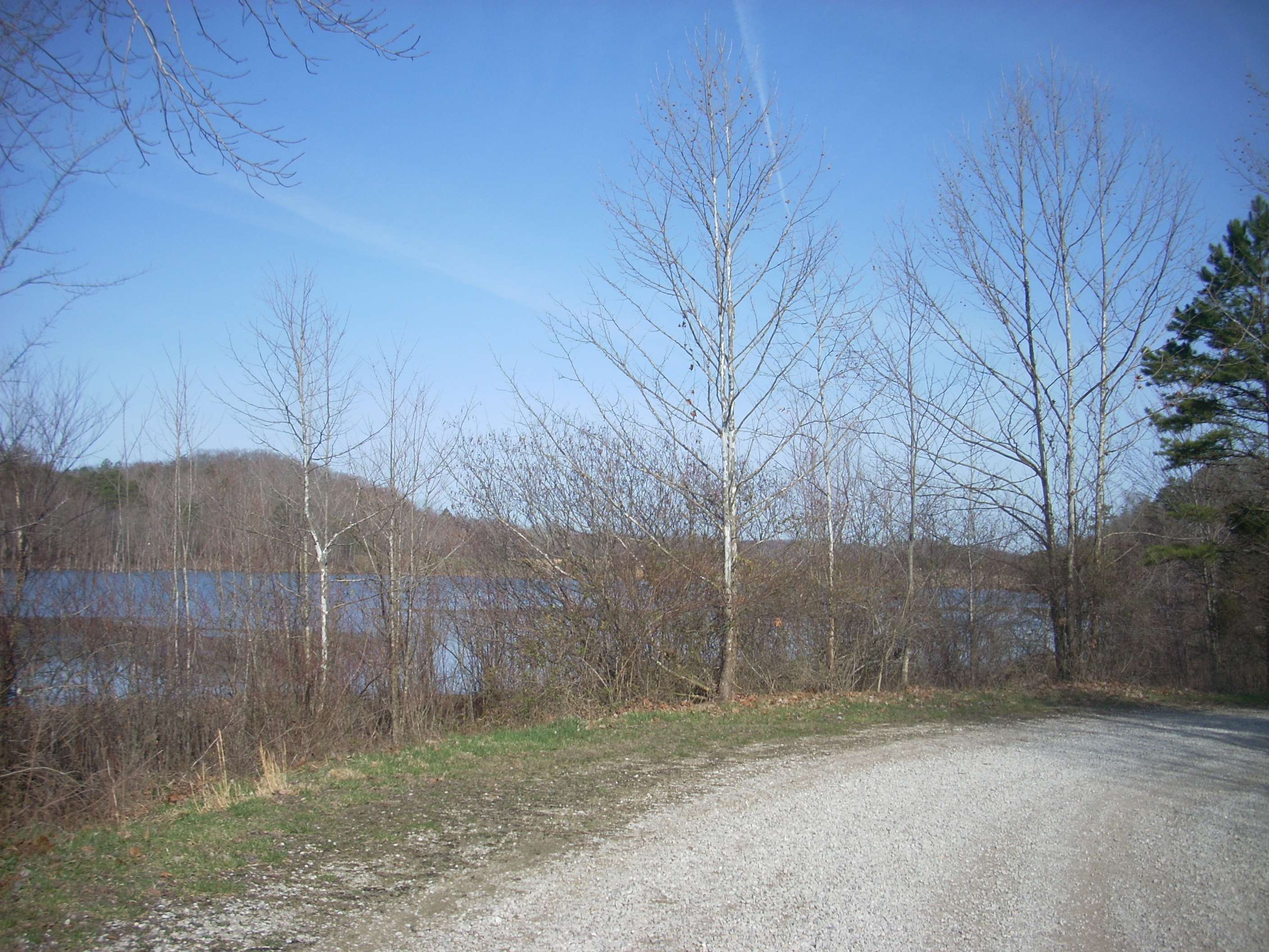
Anyway, you'll find another spur option when you get near the lake and it's parking lot. You can take this to check out the lake or you can continue on the Trace directly. If you do continue you’ll go over Clear Creek Road (KY129) and begin heading through the woods again in essentially the opposite direction that you did before. In fact, you’ll soon look across the road and see the Iron Furnace.
For the next 1
to 1½ miles or so it seemed to me that I was almost forming a circle.
The first ¾ of this would be on a fairly level plane as I walked around
one side of a ridgeline and then followed the path as it led up a mostly dry
stream. The last part was then a moderate+ climb to the
ridge top.
There were
quite a few intersecting trails in this part, most of which were spurs that led
to the Zilpo Scenic Byway. It seems I’ve mentioned spur
trails a lot here (and there are a plethora of them out here, El Guapo!).
I reached the first about ½ mile after crossing KY129.
This was the Buck Creek Trail, a spur which does not lead to Zilpo but all the way to
Near the end of
the section, when I began the climb up and around the ridgeline at the back of
this ravine, I was reminded very much of the Trace section I hiked northbound
between Natural Bridge State Park and the Red Rive Gorge Geological Area –
specifically the climb up to KY15. The trail here is probably
just a little steeper and the main path leads left around the ridge before
reaching the top, but if you followed the next spur trail (Buck Branch) it would
look exactly the same as you follow the switchbacks up to the road.
I continued on the trace around the ridgeline and thought I’d never reach
the top!
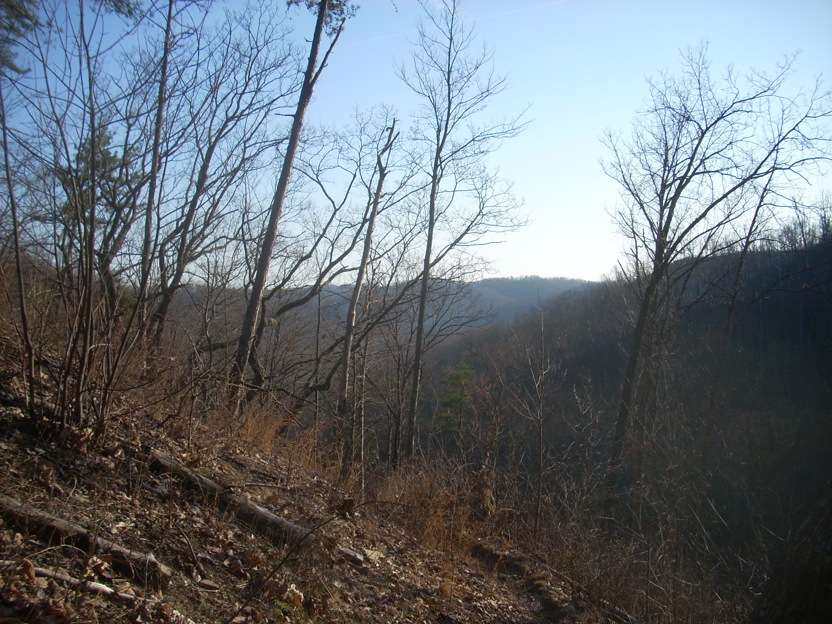
Once I did, I emerged on what had to have been an old logging or forest road which
provided a reward for my efforts – another great vista of rolling mountains.
This road curved in an “S” pattern at the top of this ridge and I
followed it right to continue on the Trace. I did, however, make up my mind to explore
in the
other direction too on the assumption that it couldn’t go back too far.
Surely it would meet its’ end with a steep drop-off…
In the next, say, ¼ mile to the White Sulphur Trail intersection there were yet 2 more spur trails which led to Zilpo. I eventually looked into both of these, and on the first one I arrived at the road looking at a rest-stop-like turnoff from the road down to my right. On the next spur I emerged looking at another of these turnoffs down and to my left. I did see a placard further ahead on the Trace and I’ve heard that this is an interpretive trail around this point. These turnoffs might be used by school busses. (To make a point of it, this section of the Trace follows Zilpo directly but just out of sight for about ½ mile. It’s right beside you - probably no more than 20 yards away at times - but you wouldn’t know it unless you were about 12 feet tall. You’re on the opposite side of the ridge top from it.)
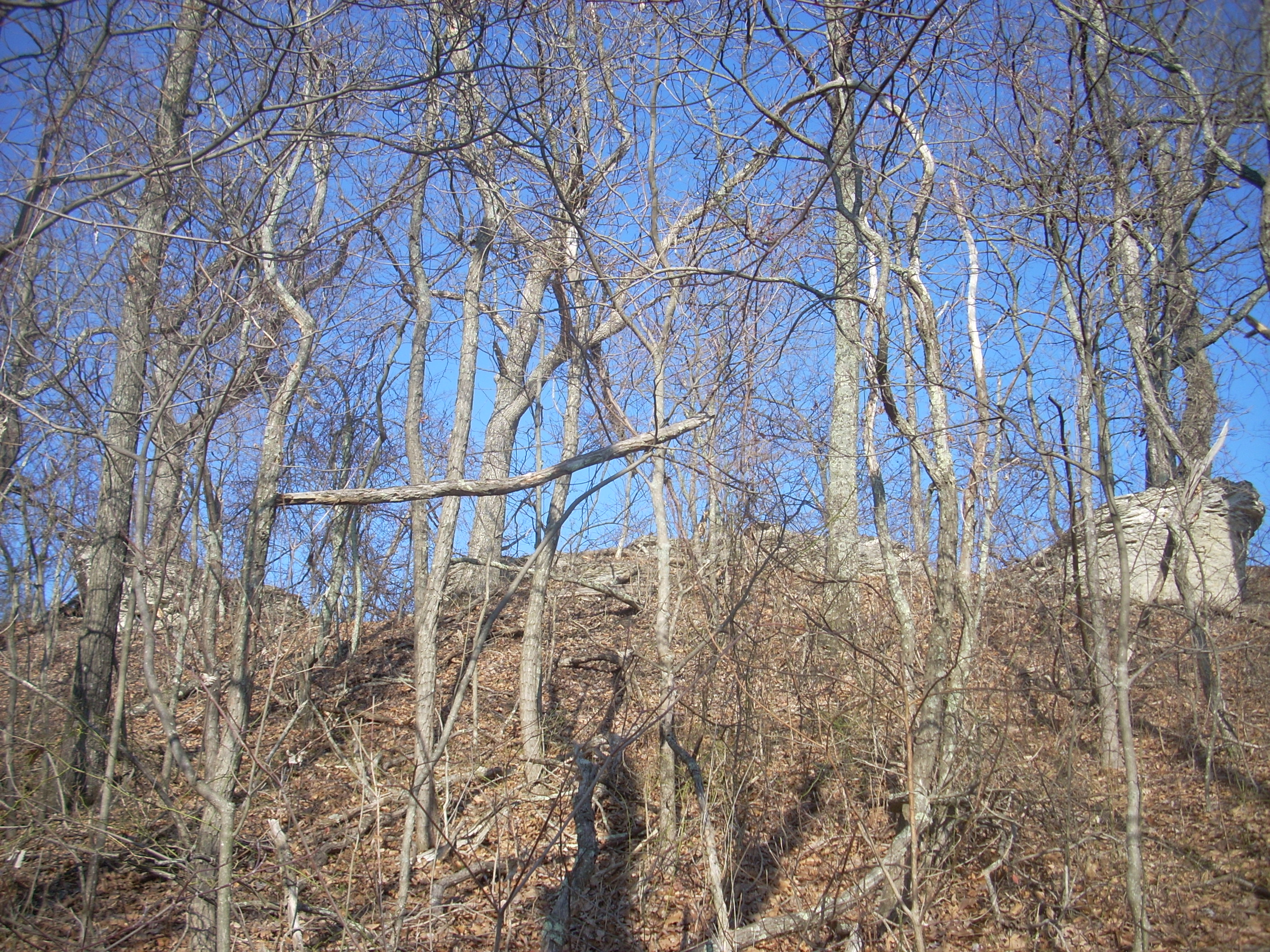
Speaking of the ridge top,
it was interesting. The rock formations took on a whitish hue,
and this was different from what I’d seen on other sections of the Trace.
In another area was a fence.
They had separated this off from the deer, ostensibly to see how the
vegetation would adapt both with and without their influence.
I soon arrived
at the cleared out area which marked the intersection with White Sulphur.
This would make an awesome camping spot with its great views, although
the road would be immediately behind the ridge from you. It’s not too heavily
traveled though... As for the White Sulfur Trail, it leads to a horse camp of the
same name. I had noticed quite a lot of horse evidence today – both hoof
marks and otherwise…Mountain bikes were in evidence too.
From here I
retraced my steps back to my car after checking out the old roadbed I mentioned
before. It didn’t end quite as quickly as I thought with a
cliff dropoff.
It looked like it did, but it branched away to the right from what
appeared to be an old turnaround point (there was a very small mountaintop basin
behind it) and the trail kept going… And going…
The situation
was akin to what I’ve experienced on the water before.
There’s this cove or stream you want to explore, you see, but you’re at the end
of your day and you’re running out of daylight and time. You
don’t want the waterway to end per-se, because you love exploring but you do
want it to end in order that you can get back soon. You’re
conflicted, you hurry, and you feel guilty for doing so because you know that
you’re missing things that you normally wouldn’t in your haste.
Well, luckily
this experience wasn’t exactly like that because I did eventually reach
the end and was able to get this shot – the best, clearest view of
DIRECTIONS:
To the FS906 Trailhead:
Take I64 to
exit 123 (US60) near
To the
Take I64 to
exit 123 (US60) near