From
Trailhead 3:
I thought this
would be a nice day to return to
Shaker Village.
It’s a fantastic place to hike but I don’t think too many people consider it as
such or even know about its possibilities in this regard. That’s because
(as I once did) you can easily get caught in the pattern of seeing this as
“only” an old settlement to tour. There's so much more to offer here
including some 40 miles of hiking trails on 3000
acres of preserved land! They also offer lodging and meals and they even
operate a paddlewheel boat on the
As you come
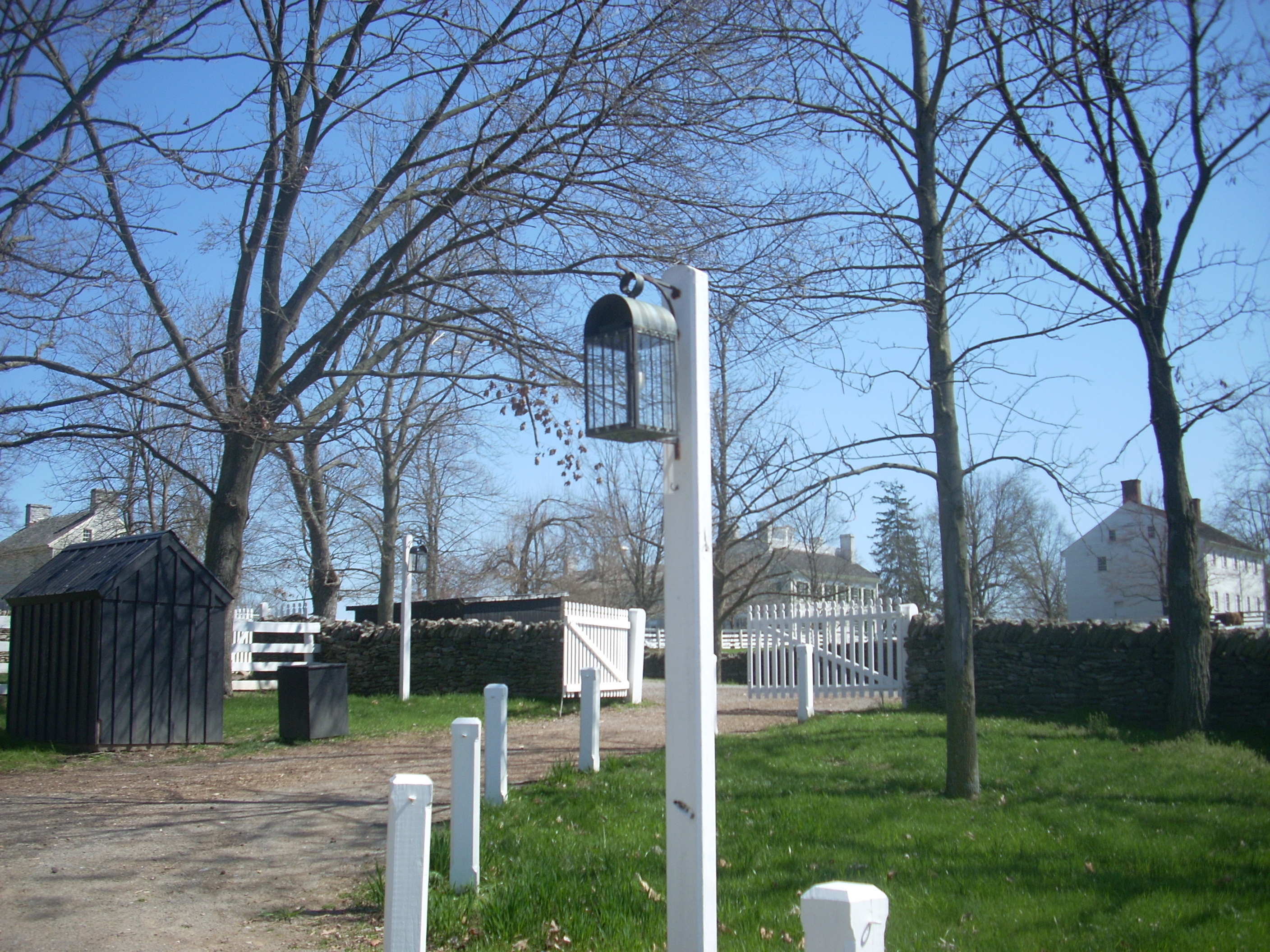
into the village off US68 you’ll want to park in the main lot (almost straight
ahead but a little to the left) and then walk toward the north end on
a path that leads up to the craft
shop where you’ll sign a waiver form and get a trail map. The
last time I was here I was also given a key to take with me to open some of the
gates on the property as I went. Today, however, they said
that all of them were open and that a key would not be needed.
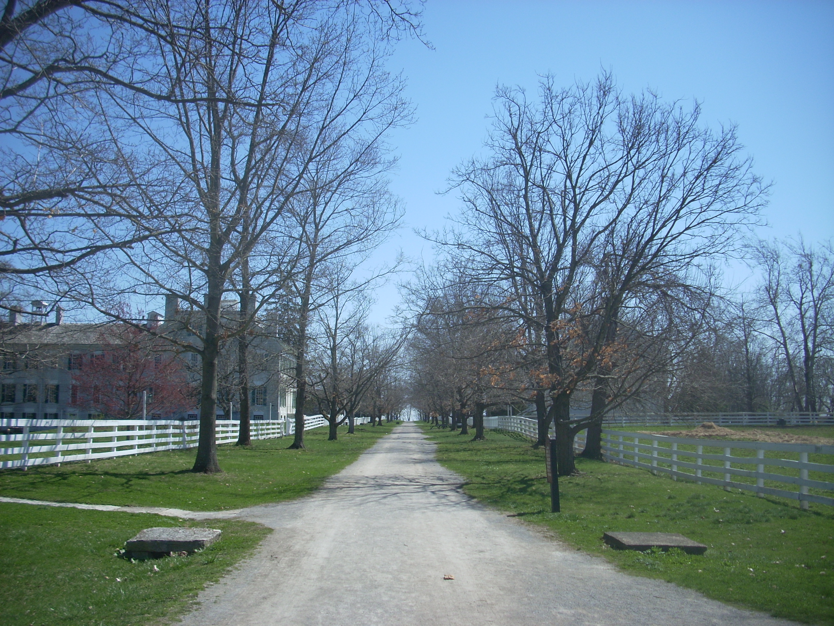
There are 3
different trailheads out here and from each one of these there are around 12
total miles of trails. In terms of how they relate to Shaker
Square itself, trailhead 1 is located about a mile west of the village.
Trailhead 2 is located just to the northwest of it about 1 ½ miles away and
trailhead 3 – the one I would utilize today – is located immediately on the
northeast side. You’ll be able to stay parked where you are
to easily reach this one as the access to it is as simple as
walking down “Main Street”. Nevertheless, I’d definitely recommend a trail map. Things can get
confusing out here as far as both finding and following the trails.
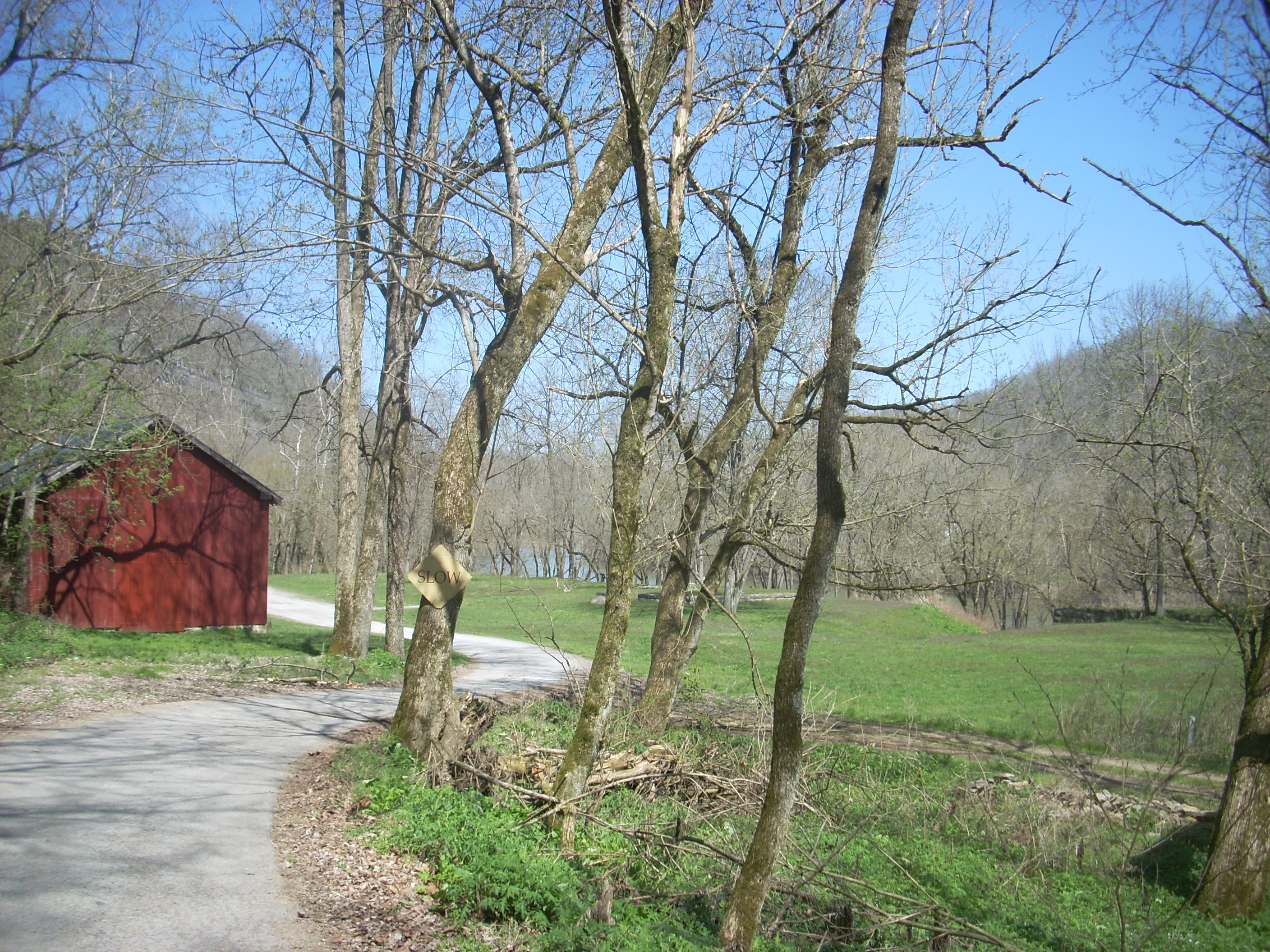
Just walking to the store to get your map will get you going out here though. It’s just so peaceful! You’ll see many farm animals in the different pens around the grounds and the views are right out of a history book. It really is fantastic what they’ve been able to do out here. It’s a real gem.
Today I'd
decided to take the River Road Trail which leads down to Shaker Landing on the
At the end of
Main Street the road kind of drops off to reveal some splendid views down into the farmland of the
Once you’ve
gone over I'd advise being VERY careful. You’ll want to cross over US68 at
this point and the road is very curvy. There is a pedestrian
crossing sign but I wouldn’t take any chances. At any rate, you have -
and will continue to have - great descending views around this point which are marred
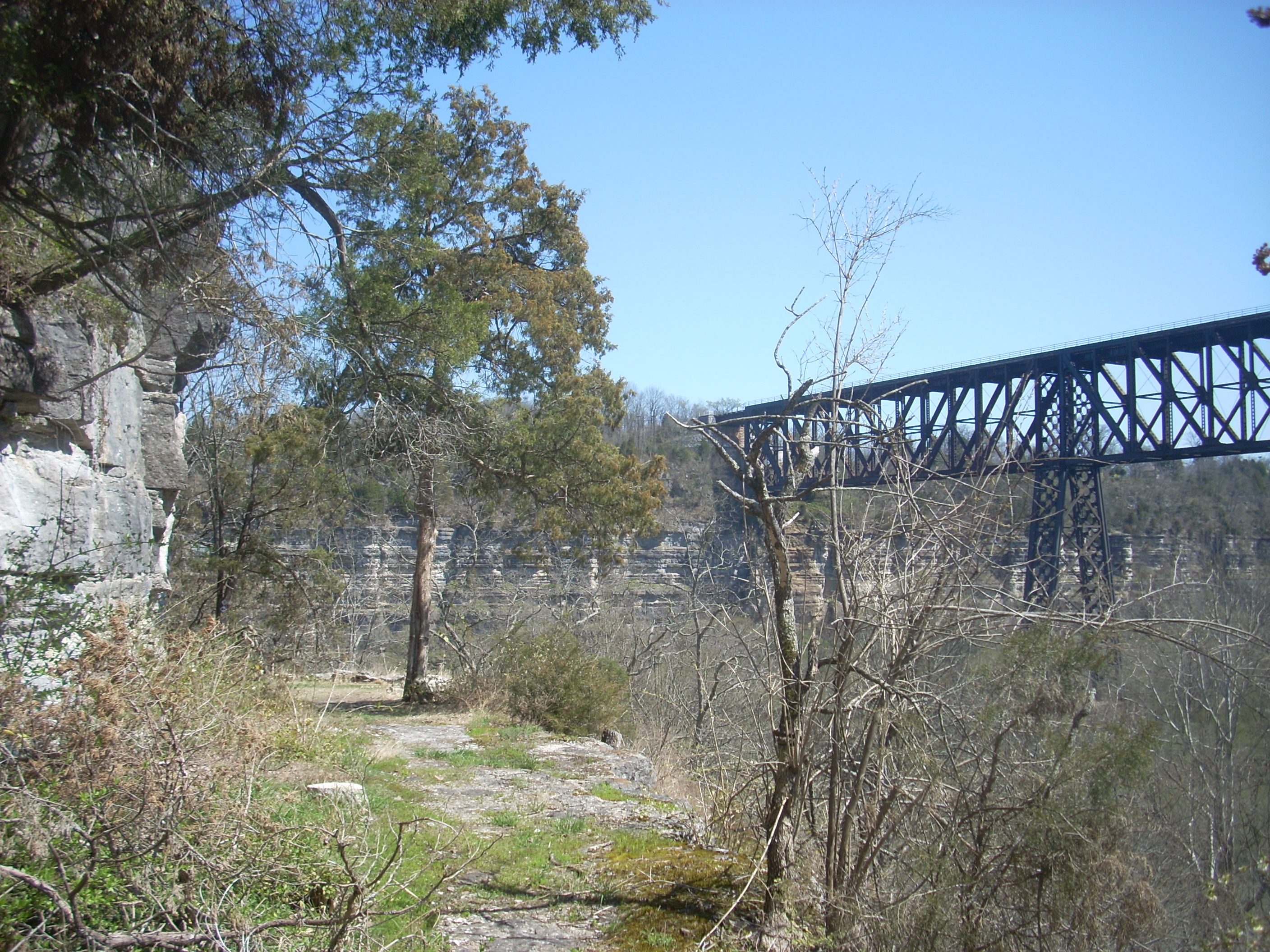
only by the power plant in the distance (the location of the
Follow the road
you see after crossing 68 and begin your slow descent toward the
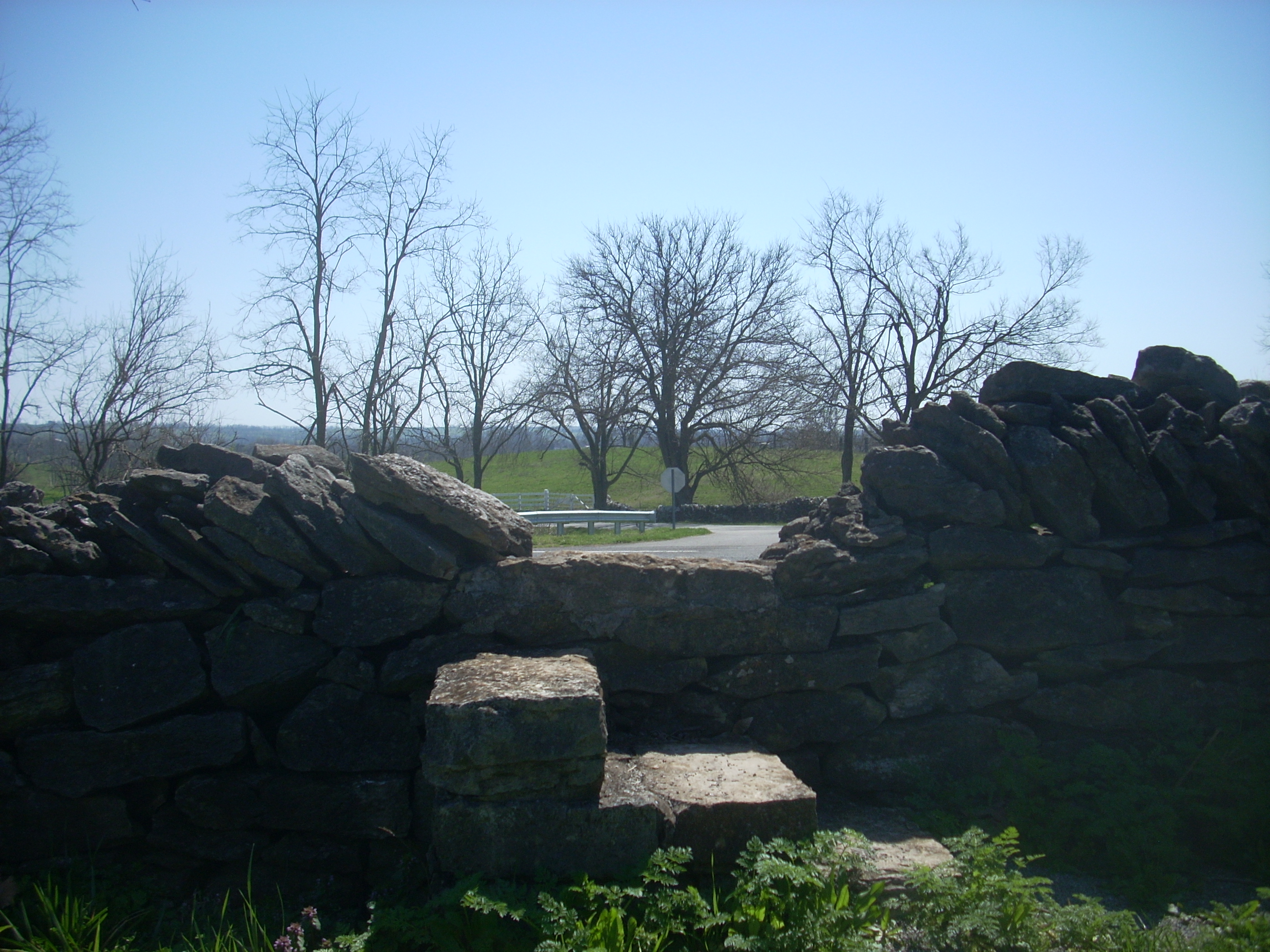
Beginning this
section on cow paths, you’ll soon know you’re on the original road when you
reach the location (it’ll be on the left) of some stone ruins which rise a few
feet high. This was the old gate, or toll house!
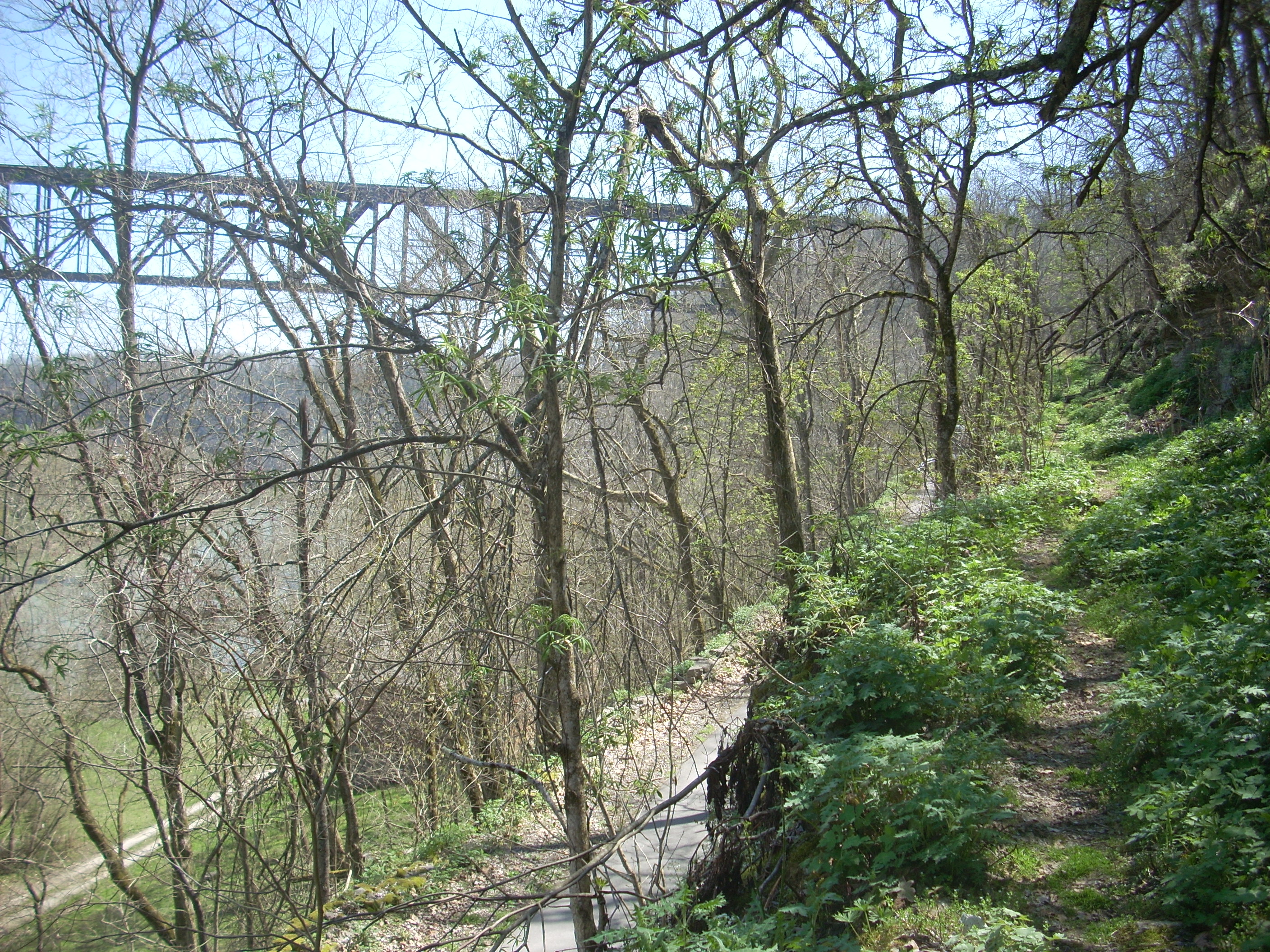
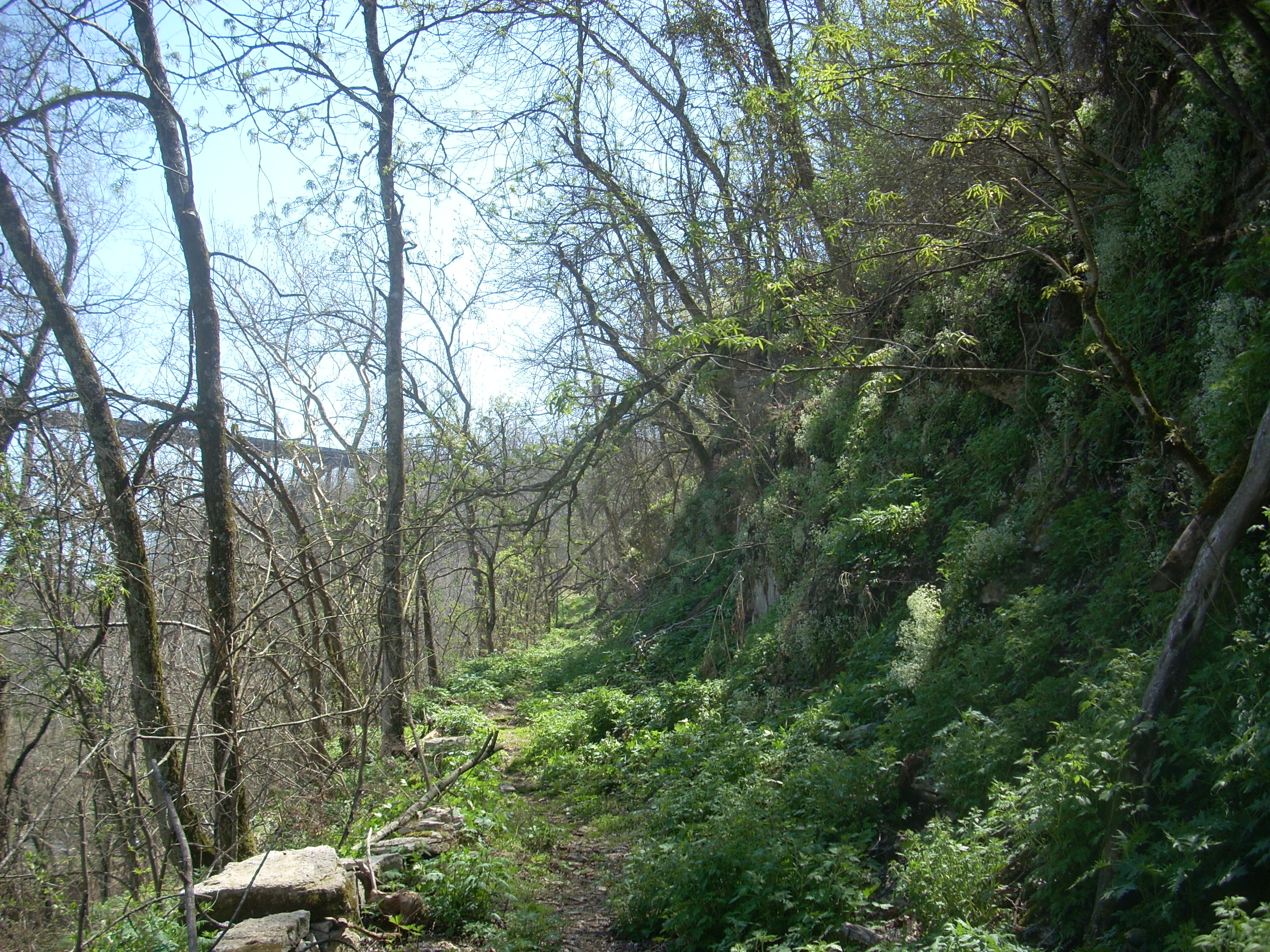
Passing this, you’ll soon begin to descend more steeply on a long left
curve down to the river. You'll soon be able to spot the
The last part
down to the landing is along a rock face. You’re walking
directly beside one of
Back to the
ladder, however… As mentioned, you’re walking along the old
road - but this old Shaker road couldn’t have contained a drop-off like this! I tried
to reconcile this and came to the conclusion that there must have been a rock
fall at some point which necessitated the ladder and might have even led to the
re-routing of the road (although this seems much too simplistic – either I’m
totally off or there must be more to it than this).
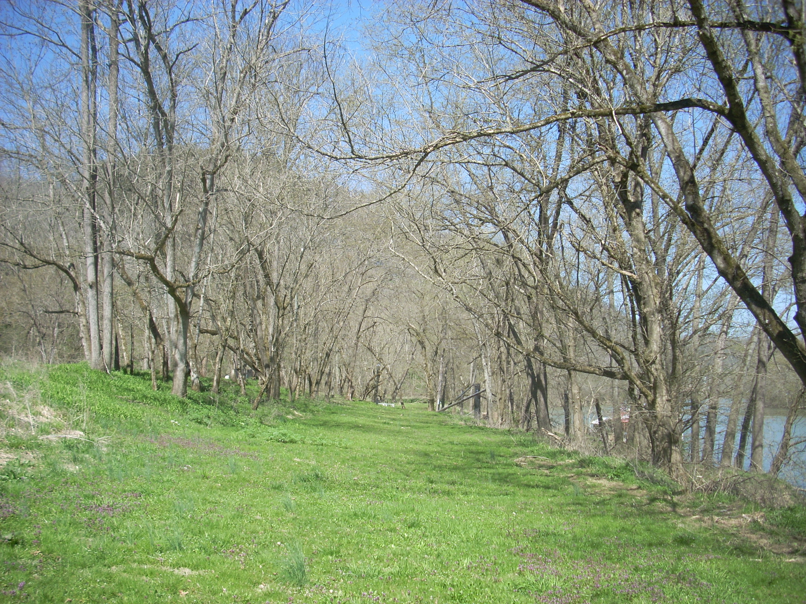
Once having reached the bottomland I surmised from the dip (visible on the right side below) that the old road had been routed to end at the river between 2 warehouses. You can still see the foundations of these.
Further down at the current ramp you'll find the Dixie Belle sternwheel riverboat and they’ll take you out on tours on this boat at certain times in the warm months. These boats were once quite commonplace on the river but I can tell you from having paddled the whole thing that this is the only one left to see (although there might still be a sinking one just above lock and dam 10 in Boonesborough).

A note –
there was an incredibly intriguing man named Paul Sawyier who lived alone in a
boat on the Kentucky River for about 4 years in the early 1900’s painting
pictures of river scenes. I’ve not been able to
validate it, but I heard or read somewhere that the little brown shed-like
structure in the picture above was part of this very vessel.
Y'know - adding
the things I experienced here today to the experiences I had paddling the
The Palisades
Trail? Well, it kind of rings this entire area down here.
I tried to follow it by walking one way, but it seemed to ended.
The correct way
to go was quickly revealed by the family who had been
picnicking at the table I’d just passed by. They had already
finished eating and were starting their hike. I didn’t want
to appear strange by walking right up behind them, so I tried the other
direction. It took me along a road which ended at what
appeared to be a water intake. I went on past this to the
right, following a little stream for a while and then came back.
Once emerged, I simply looped back along the
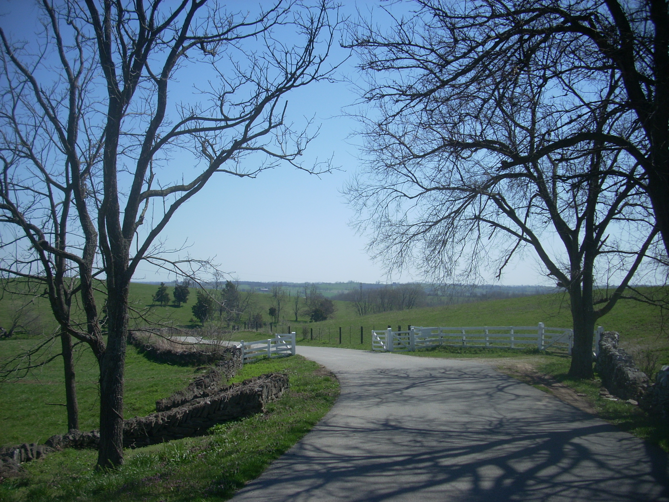
You can head back up to the village on the new road if you want but I chose to simply head back the way I came and, looking up at a rock wall, I thought the tiered scene below was interesting…

…and here’s what it would have looked like to the Shakers as they brought things up from the river. In fact, I imagined myself as one of them on the way back. Not nearly as tired as they must have been, I still tried to envision what their ascent might have been like as they anticipated returning to their families at the end of a long, hard day.
Once I'd arrived
back at Main Street in the village
I went on to check out the parking lot for trailhead 3. I had ideas about trying the Meadow View Trail,
you see. How did it go? Not well. Call me a dunce, but I lost the trail pretty quickly despite
having a map with me. This one was confusing today because parts were well traveled
but unmarked, while others were well marked but seemingly untraveled. I did my
best but what I think I actually did was a combination of the Meadow View
Trail, the Tanyard Trail, and the “James DiNardo Trail” (the last of which wanders
aimlessly!).
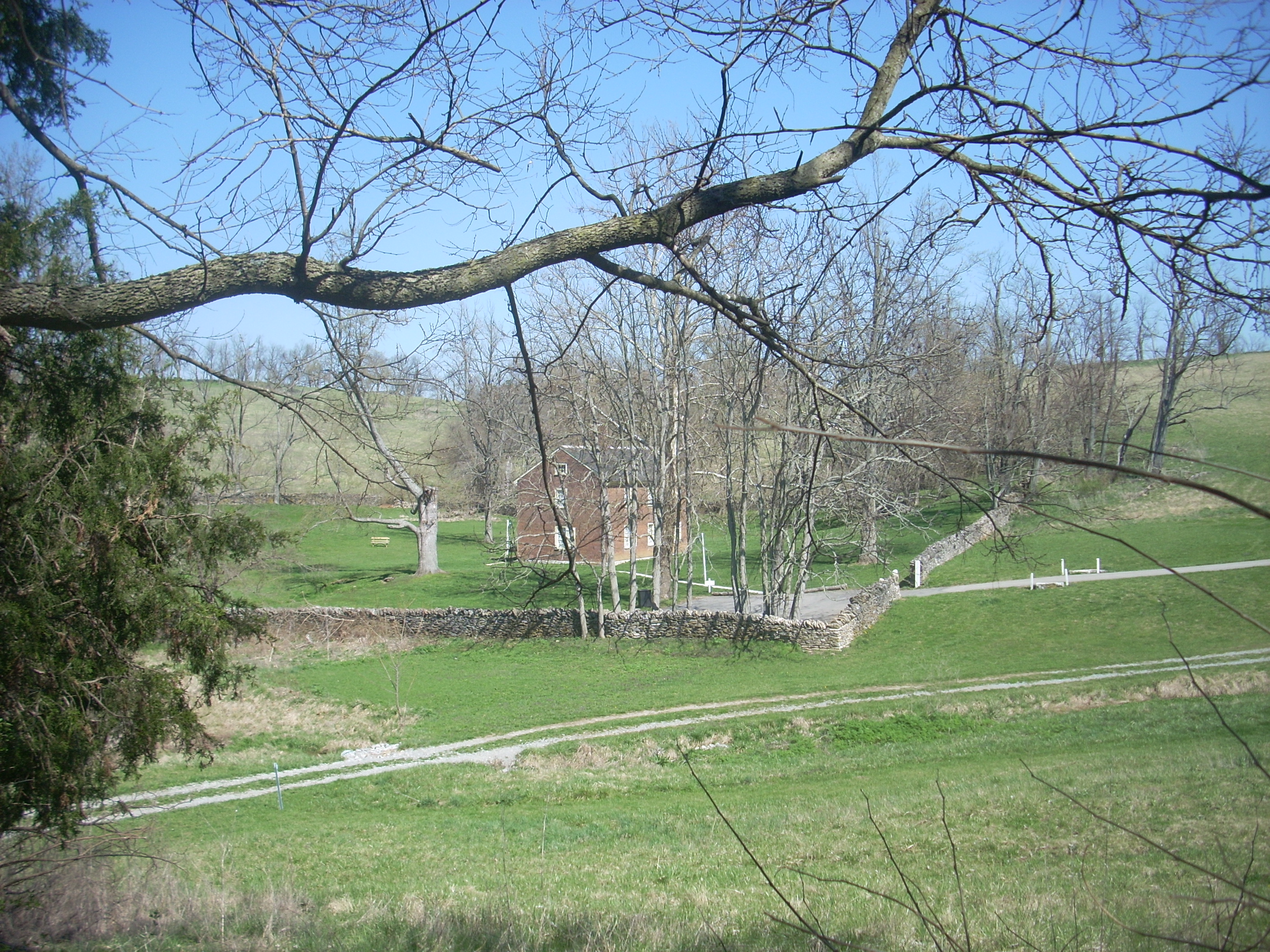
Anyway, I started by walking along a road that led north toward the village tannery house. This is where they originally tanned leather and pumped water back to village. It’s available to lodge in now – and what an idyllic location in which to do it! There's a pond too just out of sight to the left in the picture.
From here a
series of misadventures ensued, culminating with me finding myself at the back
of the village. A sign had pointed the way for Meadow View
but the indications were to follow along a stone fence on a path that looked
completely un-trodden. Figuring I must have screwed something
up, I kind of just headed back to village.
I’ll try this one again, maybe from the opposite direction next time.
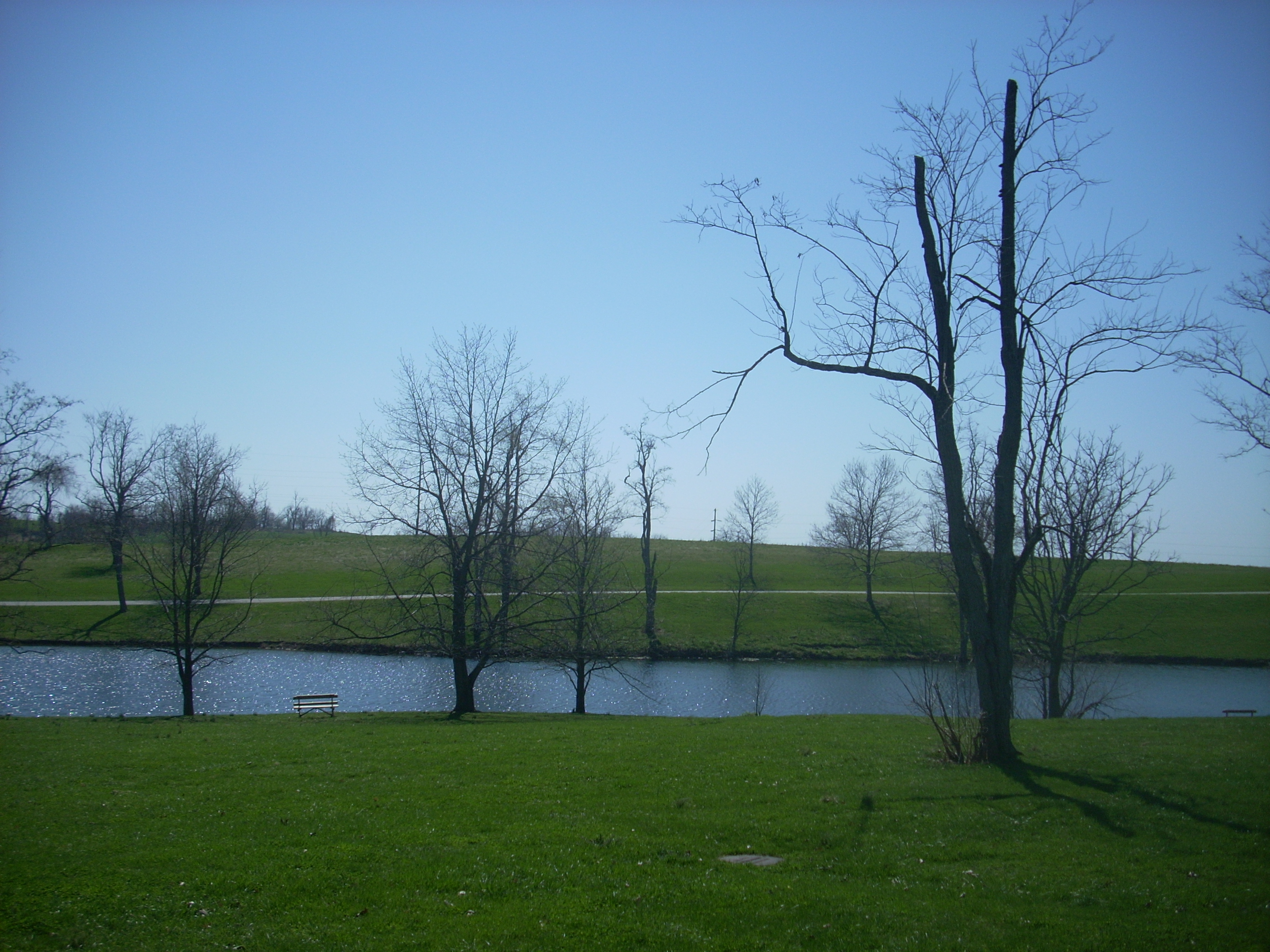
You've simply got to come out here sometime – highly recommended! It seems there’s something for everyone to do at Shaker Village of Pleasant Hill. You can even stop for a while and let the experience sink in as you relax with the ducks and geese at the end of your hike...
DIRECTIONS:
Pretty easy...
The village is located 20 miles southwest of