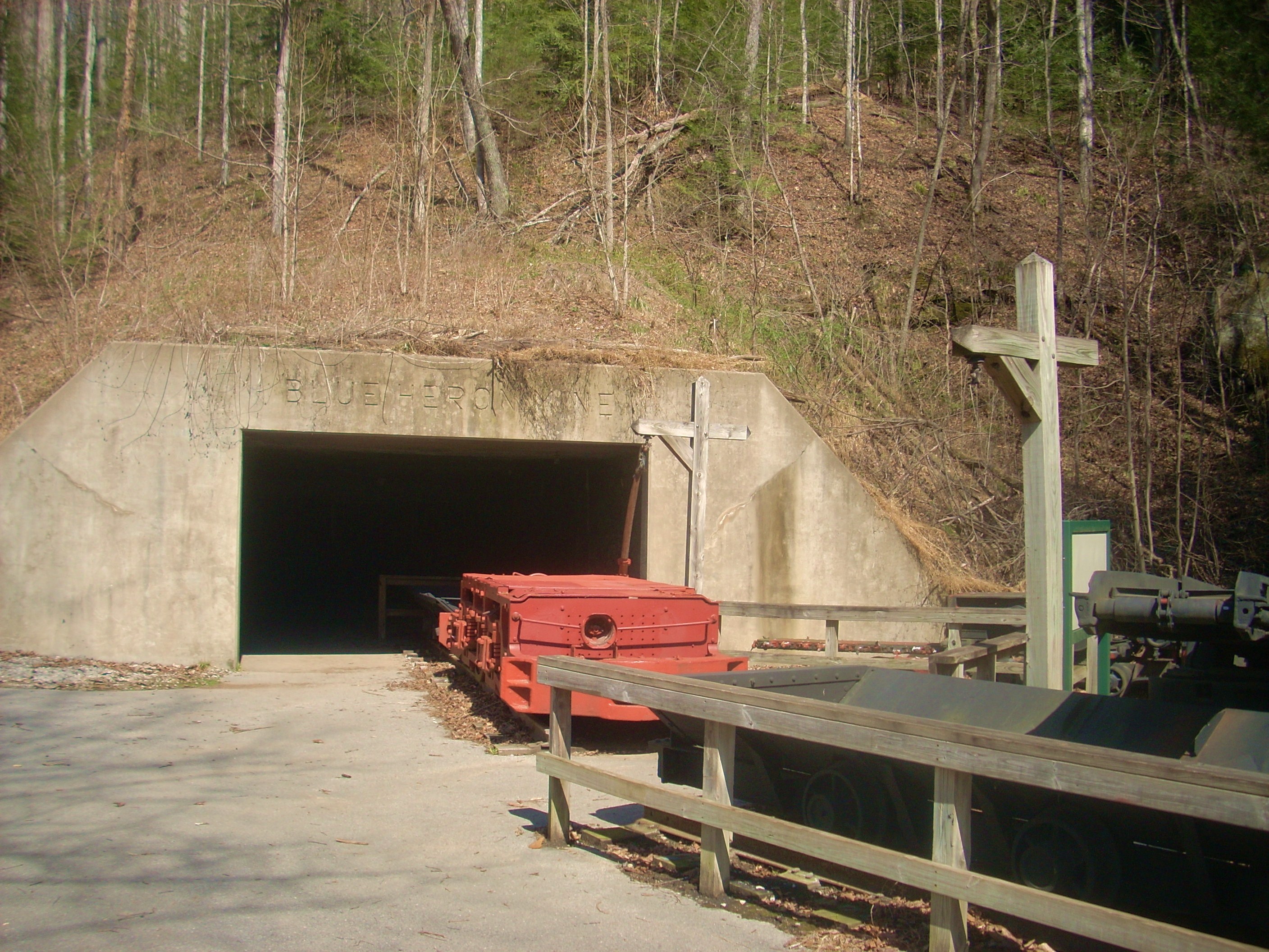
Blue Heron Mining
Camp
Ever since I’d put in a kayak from this location a couple years ago (written up in the Blue Heron to Alum Ford journal) I’d wanted to return to hike this area. Heck, just driving into the parking lot out here is quite an interesting experience!
Blue Heron (website
here)
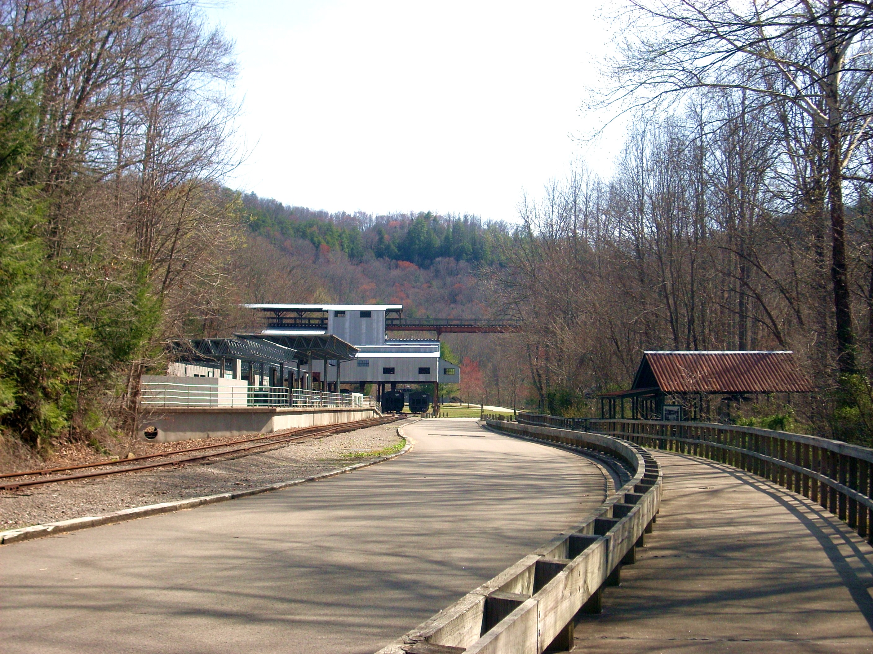
is a former coal mining town that was essentially abandoned in 1962, yet they do
still have a lot of the original structures up along with a ton of interpretive
exhibits. These do a fantastic job of giving the visitor a feel for what
life was once like in the camp. The spot is also now a stop on the Big
South Fork scenic Railway (website here).
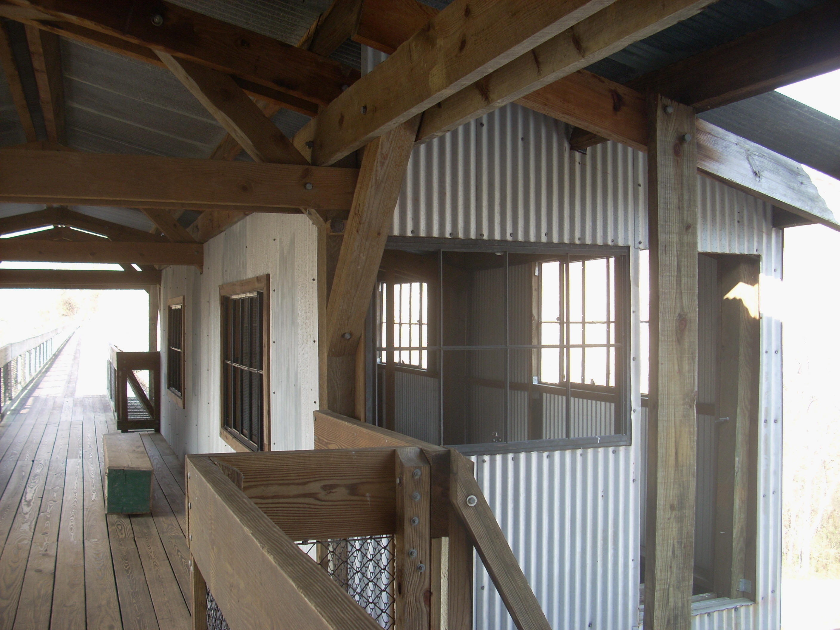
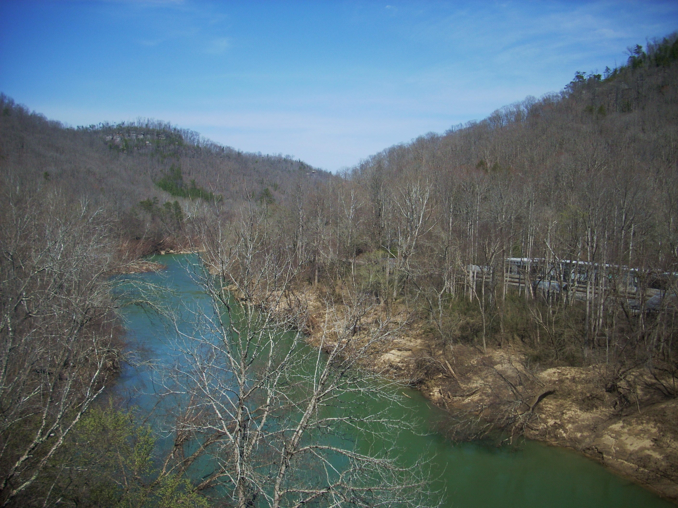
Today I thought about taking the 6 mile Blue Heron Loop Trail, but I decided to instead to wait until next time for that. Today I was really intrigued to walk across the bridge! I didn’t know what exactly what I’d encounter on the other end, but I was relatively certain that I’d find some kind of trail which might afford me the possibility of meandering along with the river for a while. This in mind, I crossed over and encountered some fine views. In fact, the bridge is itself an interpretive exhibit.
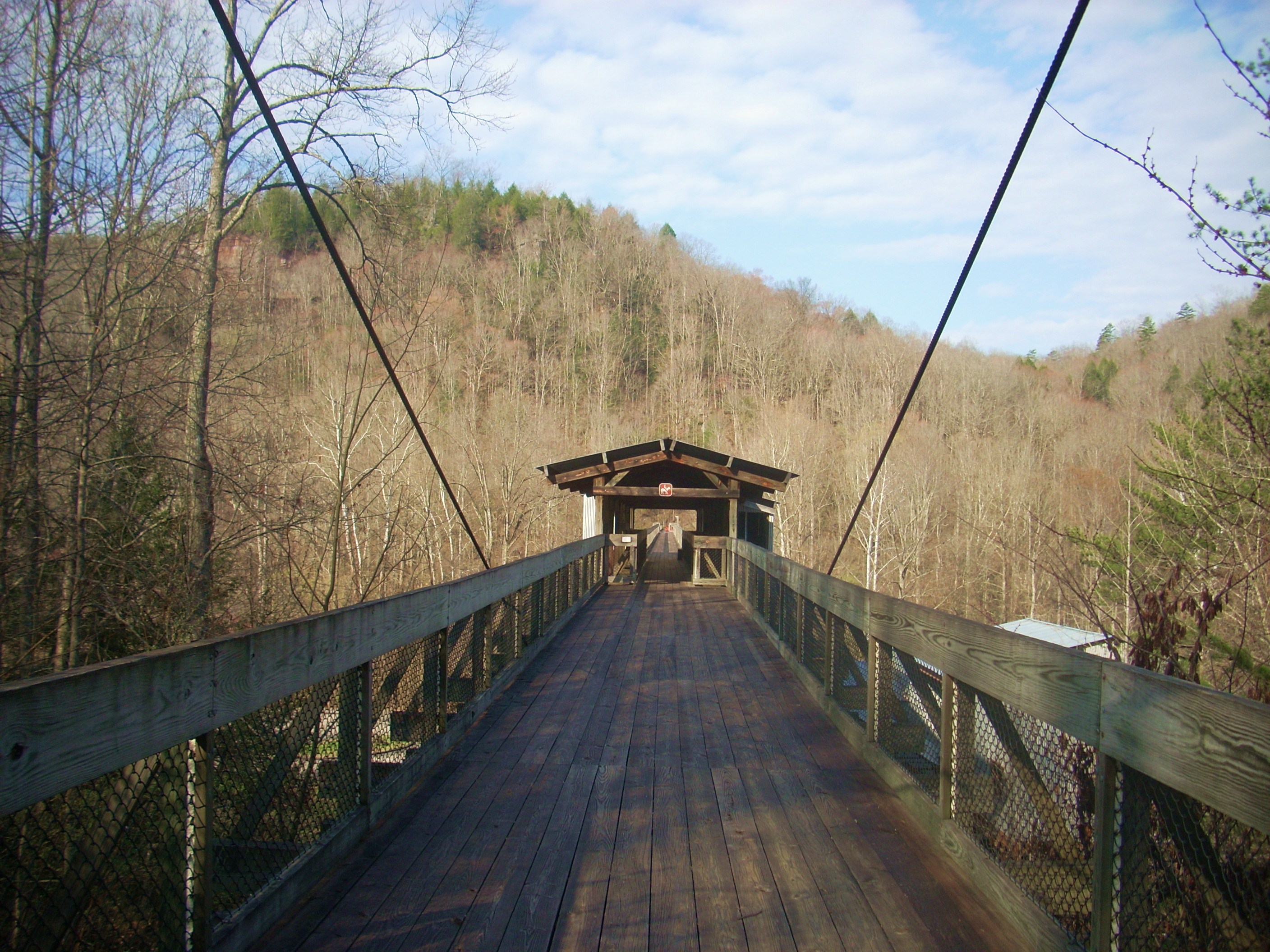
Now, when I got to the other
side I was a bit perplexed. Lying here was a somewhat confusing array of
trail signs, none of which I really expected to see. Take a right and the
sign read:
YAMACRAW 8.8 MI.
SHELTOWEE TRACE TRAIL 7.4 MI.
Take a left and the sign read:
LEDBETTER TRAILHEAD 7.2 MI.
OIL WELL BRANCH 8.8 MI.
CATAWBA OVERLOOK 1.7 MI.
NOT A LOOP TRAIL
To be honest, I just stood and pondered all this for
a while… What to do, what to do… I eventually decided that I wanted
to go more than 1.7 miles but less than 7.2 before I encountered something that
was “sign worthy”. Obviously these were not loop trails but out-and-backs.
I'd have to retrace my steps. I opted for taking a right toward
What was the name of the
trail I was following? I’m still not exactly sure, but I don’t believe I
was yet on the Sheltowee Trace. As per the sign, I believe I would have
intersected with it in another 7.4 miles had I ended up going that far, but what
was this trail? Well please pardon my ignorance but my best guess
is that I was on something called the Kentucky Trail, one which I can’t seem to
find much info on…
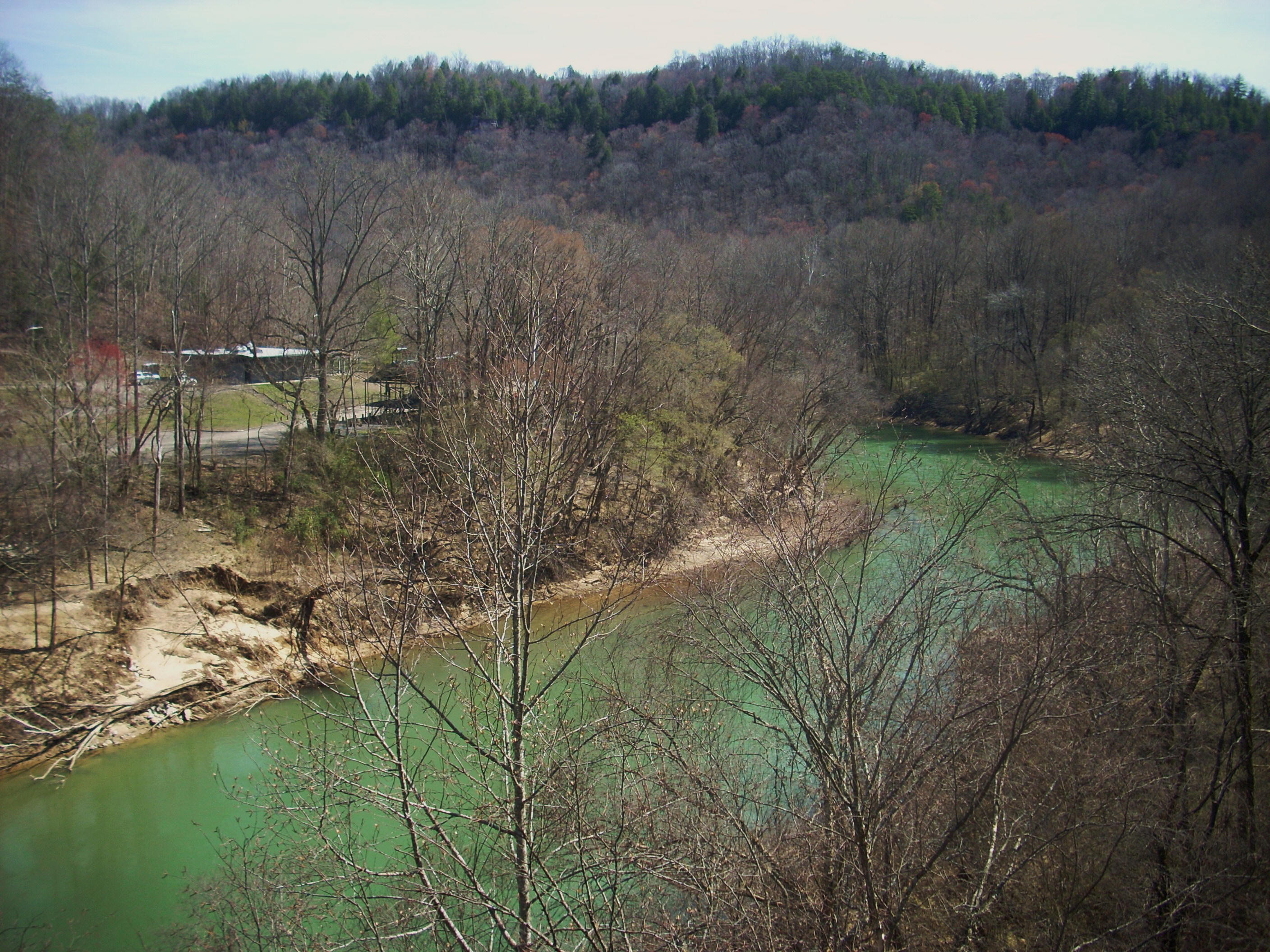
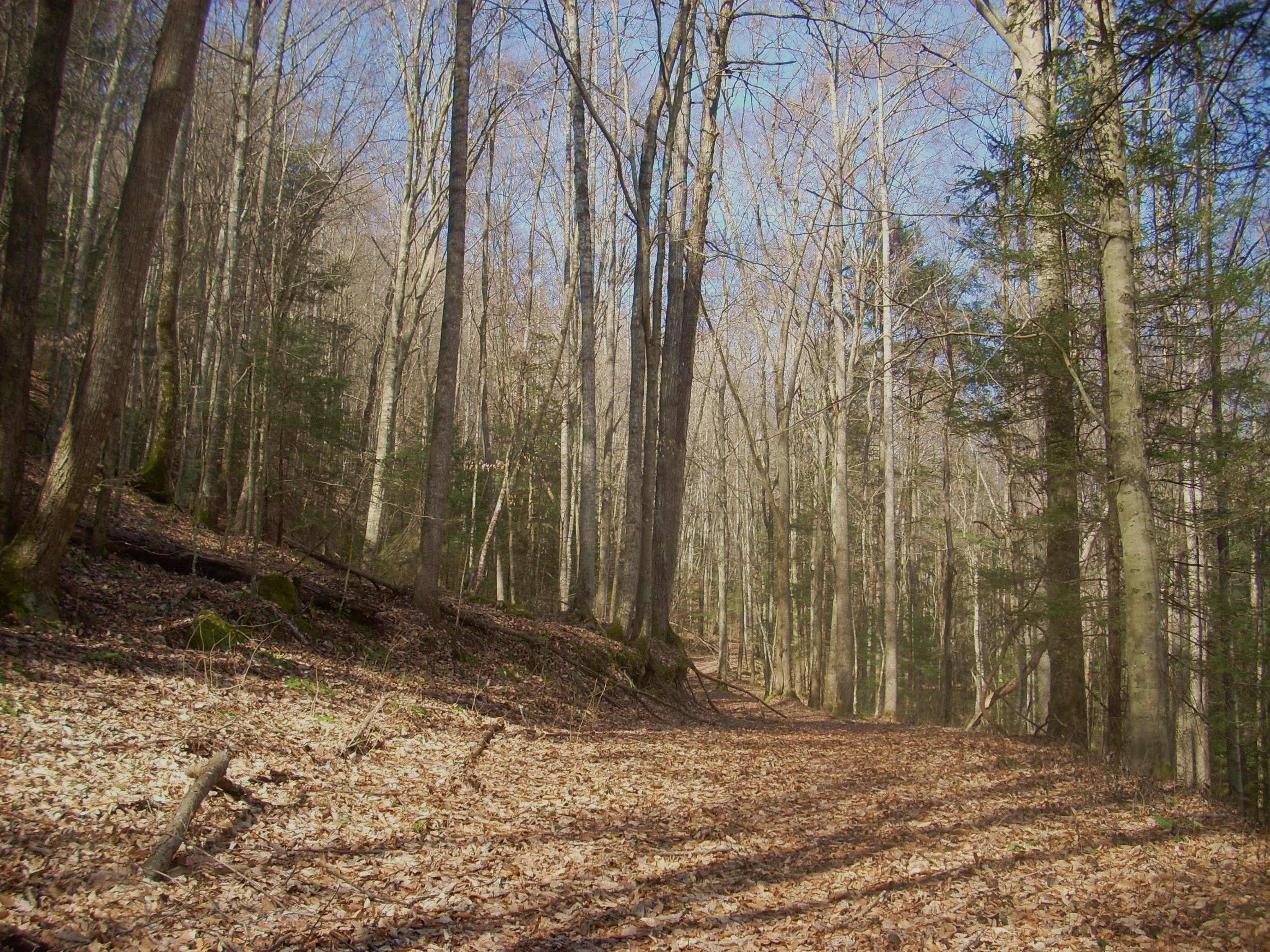
At any rate, as you start out here you’ll be walking high along the western side of the valley carved out by the Big South Fork (of the Cumberland River) but not for too long. Once you cross over a little creek and then by the foundation of an old house you’ll veer away to begin an ascent along a series of switchbacks. ou’re now entering a little hollow carved out by one of the Big South Forks’ many tributary streams. (I’d be careful here though. I found the green markers a bit hard to follow). Then, once you level out, you’ll turn right to begin following along with what looks like an ancient roadbed.
The next trail sign was also confusing to me. By my
best guess I’d gone about a mile since I’d seen the original
At any rate, the trail now descends into a lusher area as you cross over a stream, and afterwards you’re apt to find the old road to be as picturesque as did – picturesque but treacherous for any vehicle which might have passed this way…
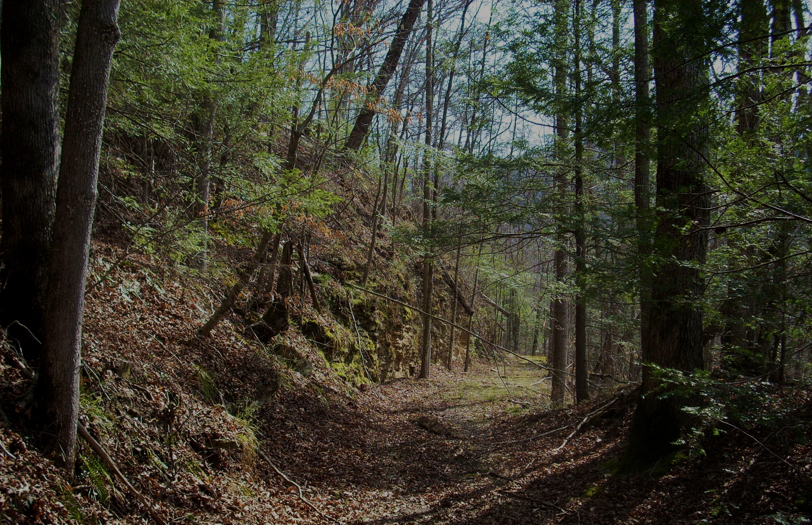
Now at this point you’re in
the midst of a left arc, the first part of which will lead you back to some Big
South Fork overlooks. At another point you’ll see a split in the path -
one way ascends while another descends. You can go either direction
because both will
meet up in a very short distance, but both are a little steep and the ground
today was also a little “shifty” with all the fallen leaves. You’ll really
need to watch your step!
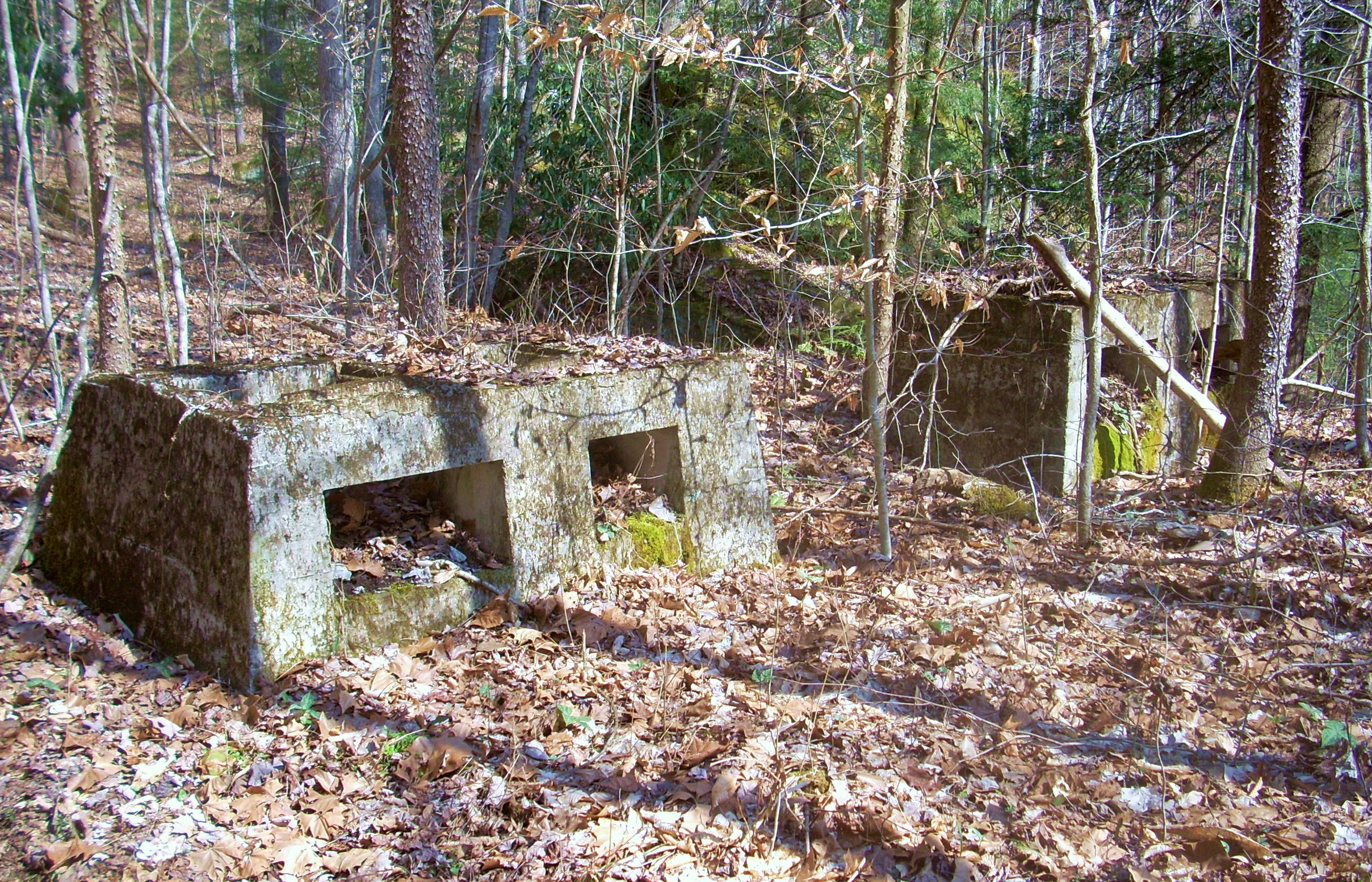
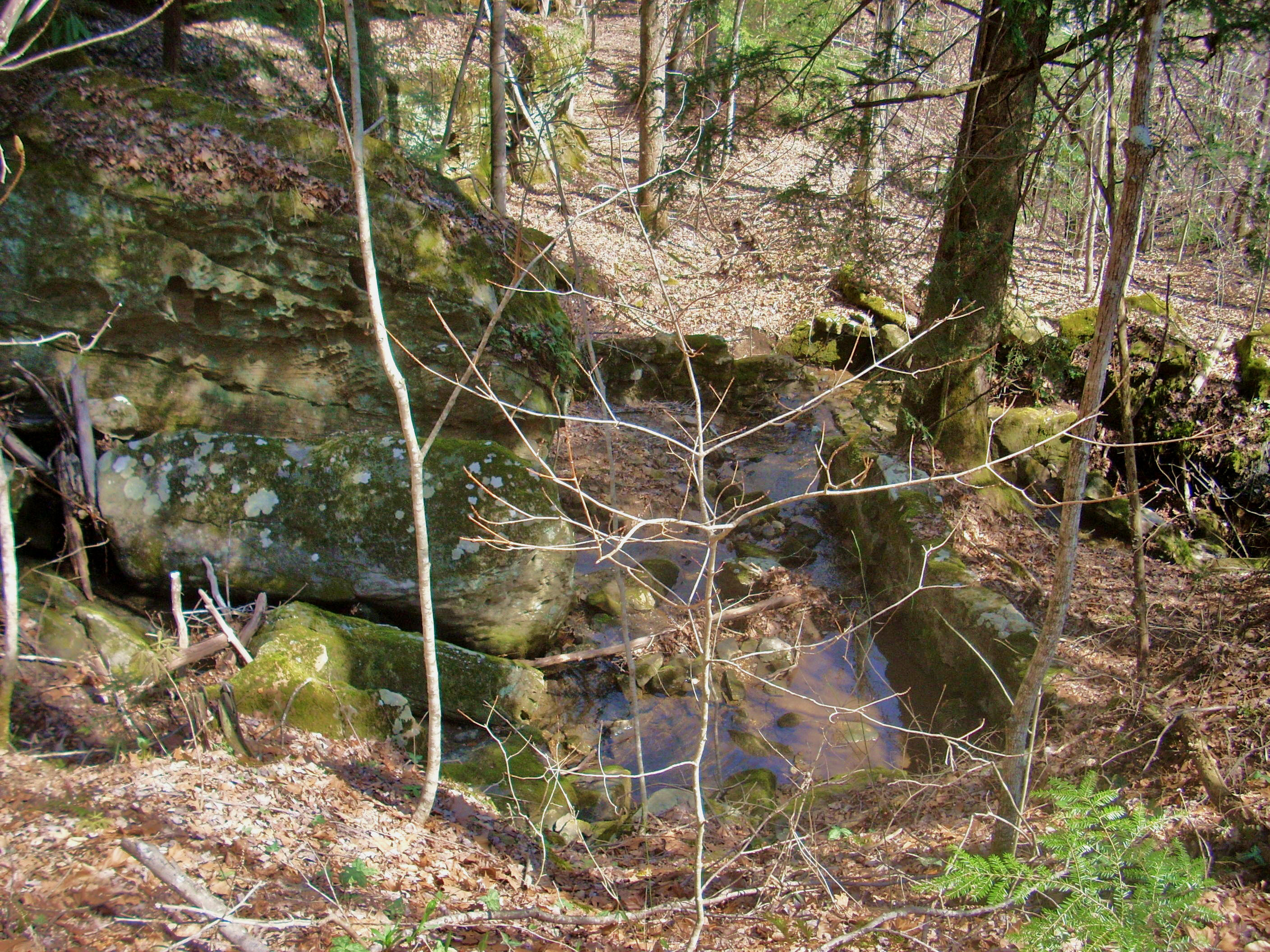
Next up comes an old shed and then you’ll pass under a power line, but what’s really interesting is what lies at the end of this arc. Judging from the structural remains I saw in the pictures below I think there must have been an old milling site here on this little stream at one point. Was the road I’d been following an old wagon road leading down to this mill? If so, it would explain a good deal.
Check out the pictures below... The first shows
some carved stones that I saw in the area while I believe that the second could
have been a mill site. Now I’m usually wrong, and I’d be interested in any other opinions but this
site does remind me a lot of the old Evans Grist Mill out at the Raven Run
Nature Sanctuary and the road reminds me a lot of the one leading down to the
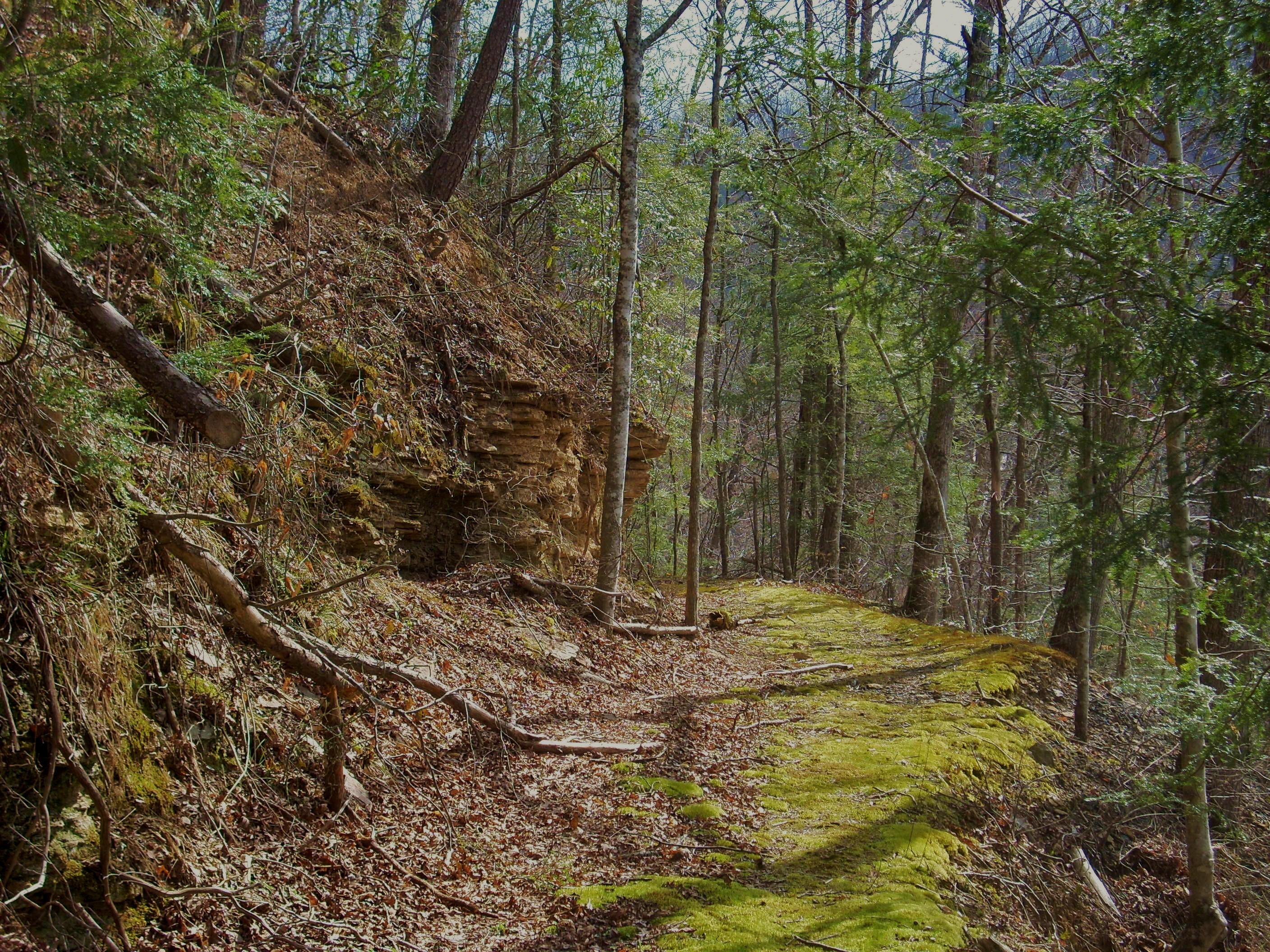
Anyway, you’re now in another hollow - the same one formed by this little creek and today this was the lushest area I’d hike through. In fact, it was as I was contemplating some flowing water in here that I had a little butterfly land on my arm. It was nice. To me, these little creatures have become signs of hope. They always seem to land on or near me when I’m feeling a little down and they actually make me feel as if I should be making a wish when they land on me – next time I think I will!
The last section I hiked took me back along the Big South Fork at the top of a mountain although the path was receded far enough from the river that I couldn’t see it. As mentioned, I never saw the school and I stopped at a point where I’m guessing I’d gone about 3 miles.
Once back at the bridge you’ll be able to put into
perspective just how far you went. If you look to your left (or northwest)
while crossing it’s the third peak at about
At this point I was done with the hike but I couldn’t quite bring myself to leave just yet... Just the way I am, but I’d have felt ashamed to have accepted the recreational opportunities out here without also accepting the invitation that the exhibits offered to get a feel for what life must have been like for the people who once lived and worked at this camp. I did this, and after walking around for about 1/2 hour I felt as though I’d truly been touched by the spirit of the place. Blue Heron truly has a lot to offer!
DIRECTIONS:
I
took the Middlesboro Exit off I75 and went east toward
Once on this route, you’ll
end at the camp about 9 miles down, but you’ll want to pass some things lest you
get lost – as I seem to do almost every time I come out here. Don’t make
that left turn toward the overlooks just yet (although you might want to do so
on the way out. I never have, but I’ll just bet I’m missing something very
nice!), and don’t make a right turn just yet at the sign for another mining
camp.
You’ll soon arrive at Blue
Heron after passing these, and you’ll know it when you do. You can park
just about anywhere. To start this particular hike just cross over the
bridge.