Pinnacle Overlook via Sugar Run Area
Trailhead
Last year I came out to
this Cumberland Gap National Historical Park (website
here)
and they wouldn’t allow me to hike the trails – there’d simply been too much
damage from an ice storm. I did, however, get a very nice surprise when,
in my search of an alternate experience, I was led to a real enchanter of a hike
at Pine Mountain State Park in nearby Pineville. That hike,
incidentally, turned out to be very similar to this one albeit a lot
shorter (it’s written up in another entry). Today, however, I finally got
my chance to explore this beautiful park.
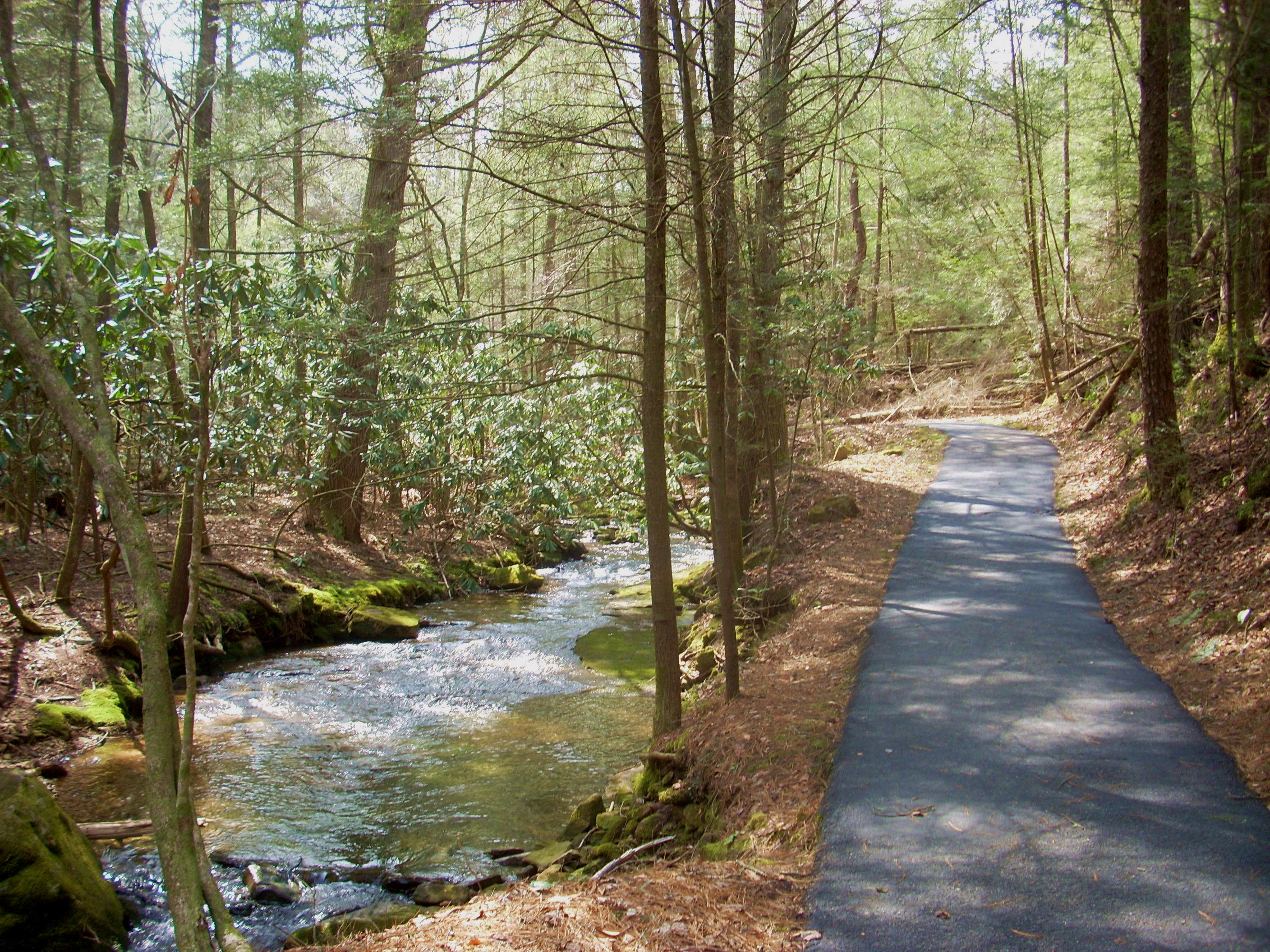
Let me mention first that the Sugar Run area (the location of this trailhead) is a fantastic spot for a picnic lunch! It’s named for the pleasant little creek which runs through here and you can plop right down on one of the many picnic tables they have available right alongside the water and enjoy! There’s also a paved path that meanders along with the stream for a short distance that looks like it would be perfect for people in wheelchairs or for young children…
Anyway, what you’ll want to do to begin this (about 8 mile out-and-back) hike is follow the creek upstream. You can go one of two ways. I went directly around to the left on an unpaved path which went slightly uphill, but you can also begin by following the paved path. Both ways meet up at the first bridge over the water.
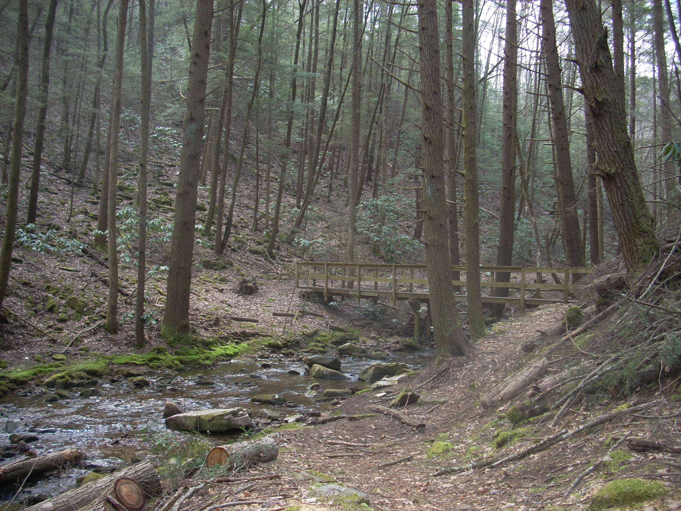
This first section is beautiful, indeed, but it would surely be even more so were it not for all the fallen trees – casualties of the ice storm, no doubt. I’m certain the area will again become more lush and dense as the years pass (so long as no more ice storms set in for a while!).

Anyway, if I recall correctly you’ll either pass or
go over 3 bridges before you begin a light ascent to merge with another trail.
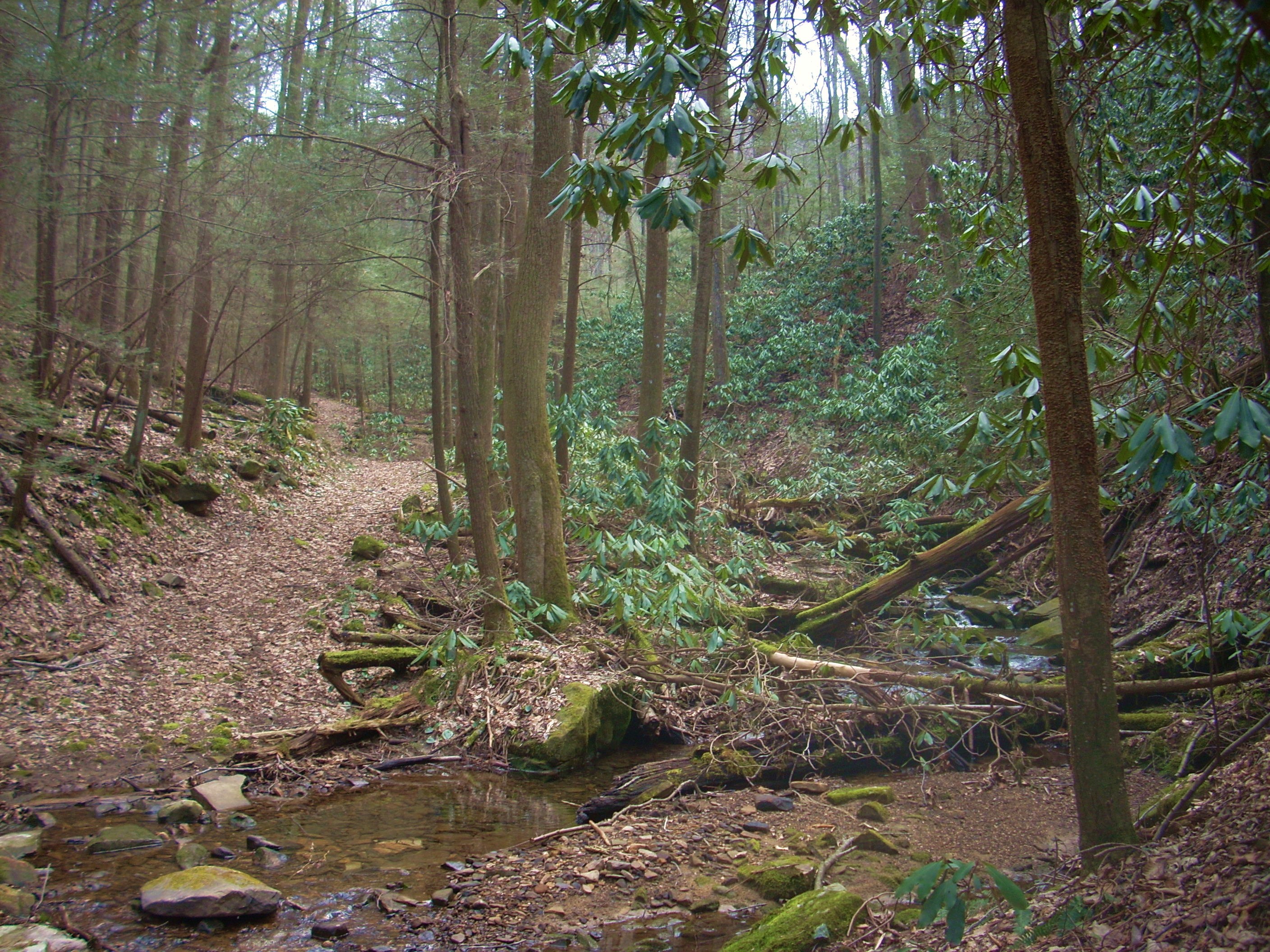
Here you’ll want to continue left, still following the stream you see (Sugar
Run) upstream as it cuts its way down through
And don’t
do what I did.
Although the grade really isn’t that steep overall, I’d made this my first hike of the year – and I ended up overdoing it. You see, I usually work my way up to my first day-long hike by doing a 4 miler first. Then, after waiting a day, I go on a 6 miler. Then after another day of rest I’m ready. This year, however, the 4 miler hadn’t been bad at all so I thought I’d just go ahead and launch right into this one... Not the best idea – one knee ended up woozy and both hips and legs felt like Jell-O by the end of the day.
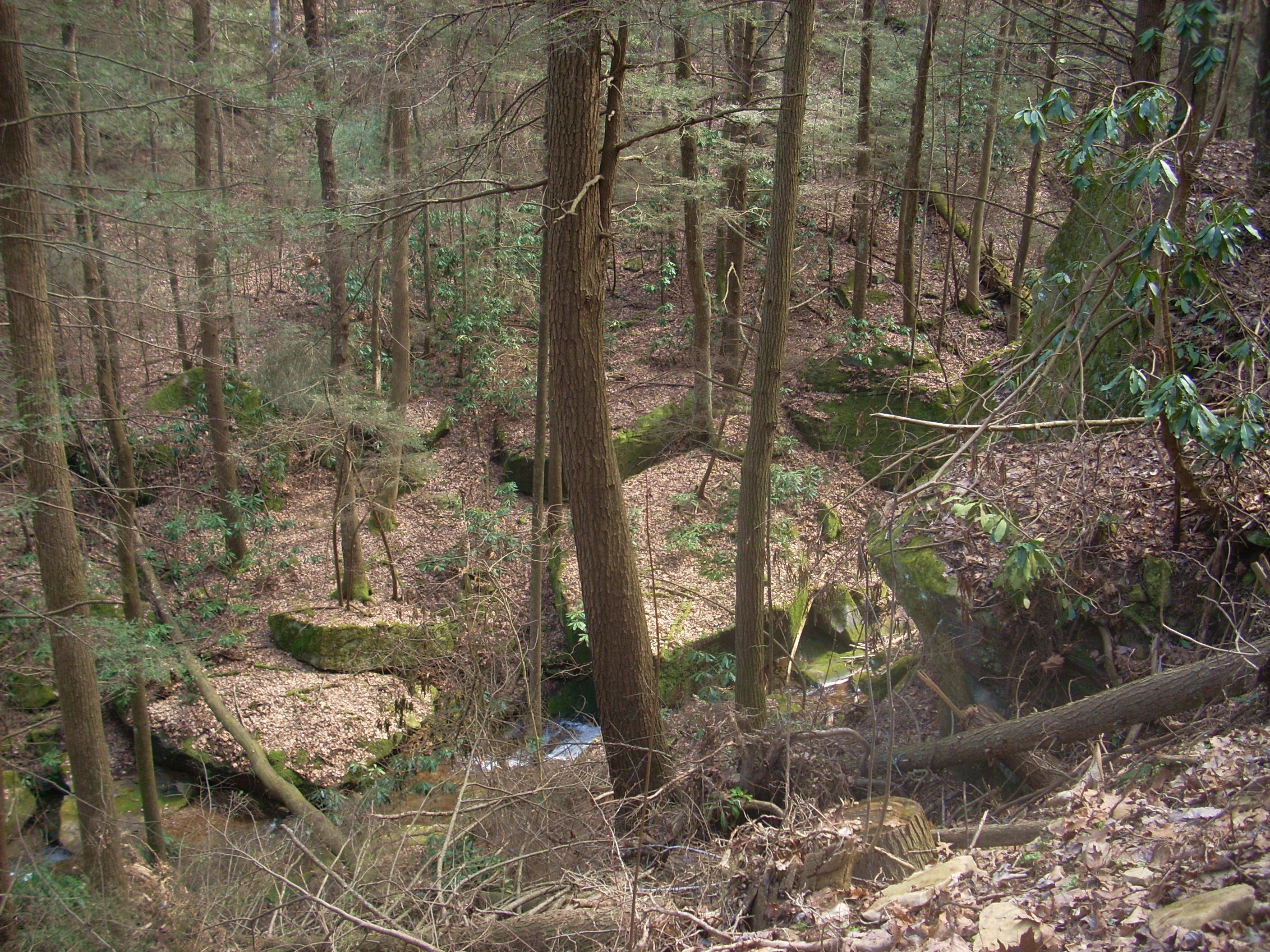
At any rate, the trail itself is pretty easy to follow from here. In fact, the whole thing is wide enough to have the feel of being an old mining or logging road. Also interesting (to me, anyway) was the game of “peek-a-boo” I was playing with Sugar Run. For one stretch it would be right beside me and then I’d seemingly turn a corner and it would be hundreds of feet below. Still other times I’d cross right over it.
…and after the last of these
crossings I was in a more open, forested area near the top of the mountain soon
to intersect with the next trail junction – the one for Ridge Trail. This
path is interesting. It’s the longest in Cumberland Gap State Park as it
winds all along the top of the Cumberland Mountain ridgeline - fully 19 miles
from one end of the park (Pinnacle Overlook on the western end) to the other (White
Rocks Overlook on the East side). You’ll make a right onto this path,
following the “Pinnacle 1.8 Mi.” sign.
…and it won’t be long before you’ll encounter some pretty awesome views. First they’ll flirt with you through the trees...

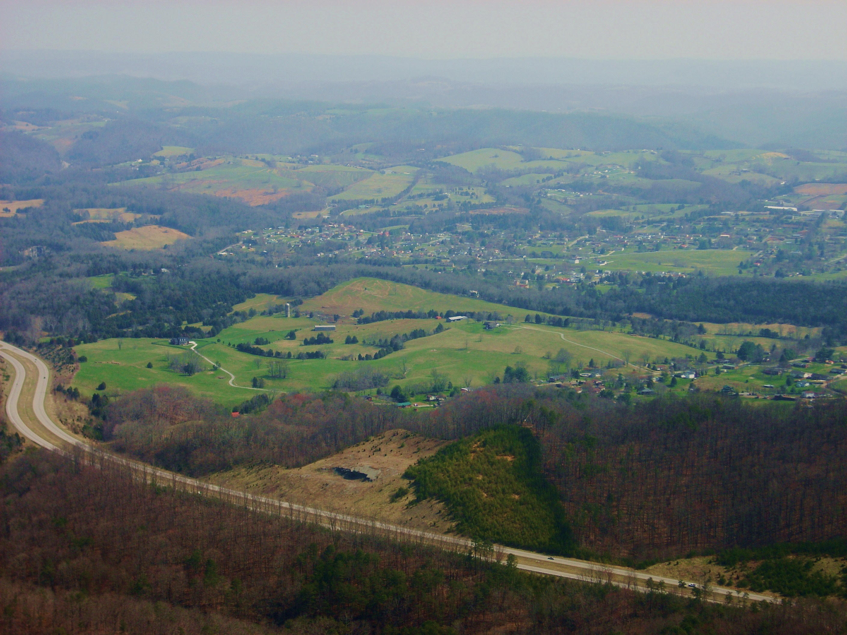
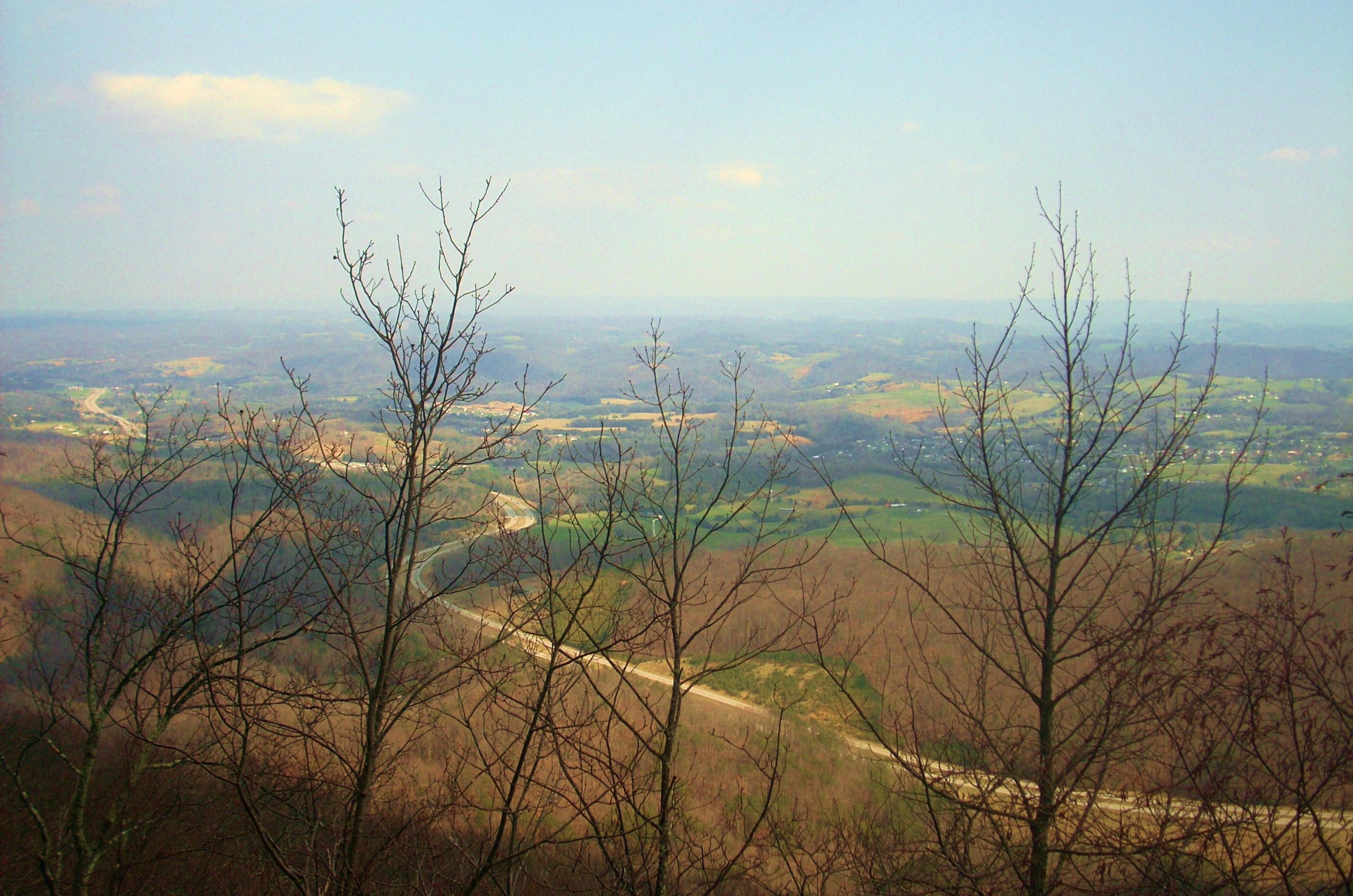
Then they’ll really open up once you get to a rock outcrop several steps off the trail to your left (don’t worry, you’ll know when you’re there!). I actually thought that this was the actual overlook – it’s not - but the views here were, in my opinion, almost as good as those I’d soon encounter - especially to the south (see below).
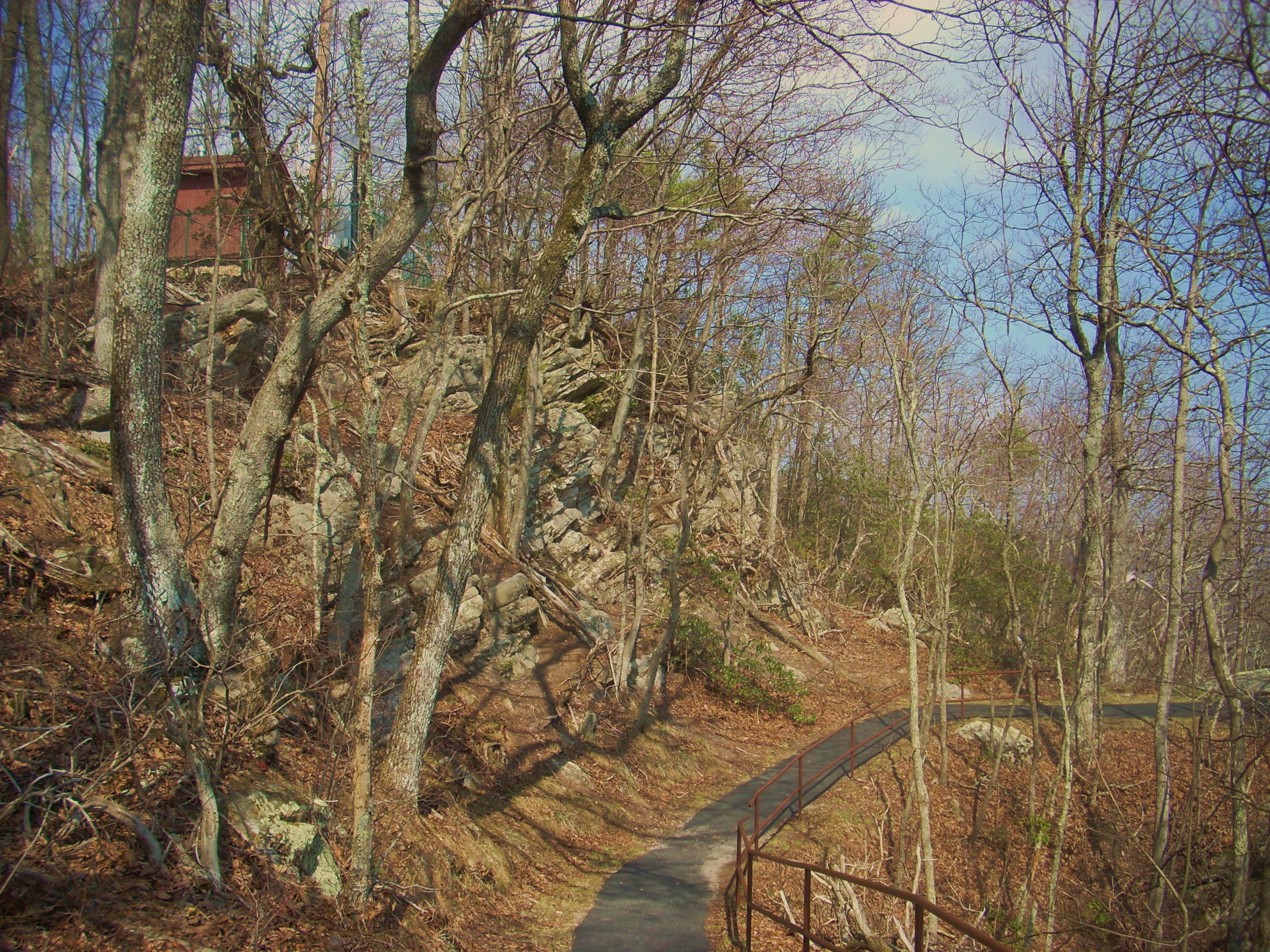
As I left I still thought that I had just seen the overlook, yet I wanted to make absolutely sure so I decided to keep on the path a little while longer... Good thing I did - the actual overlook would soon follow. What you’ll do is make a light descent and then after a short climb up again you’ll pass what looks like a little cabin followed by a sign-up post for hikers heading in the direction you've just come from. Next is an intersection with an incredibly inviting little paved path…

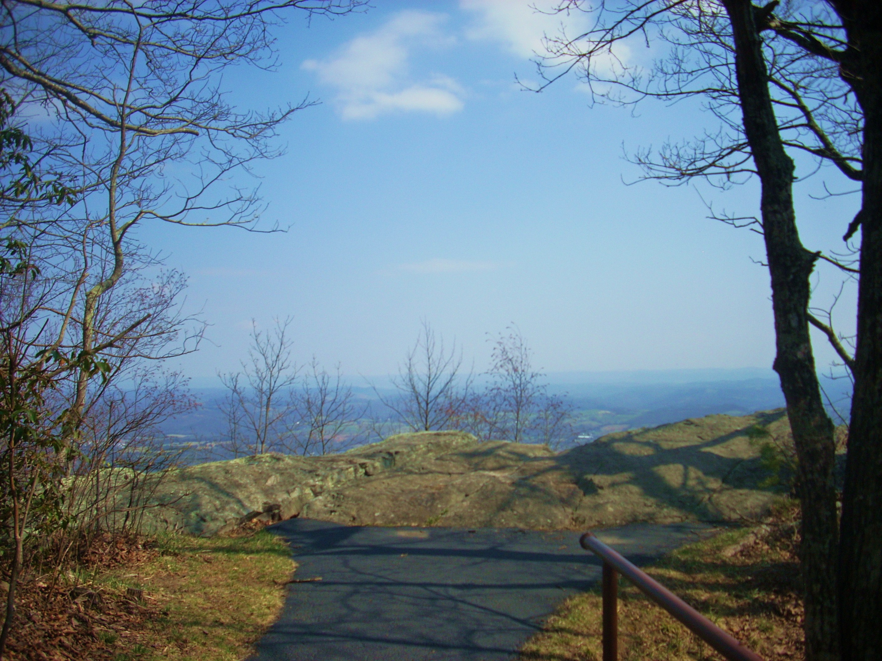
Follow this to the left...
...and you’ll almost immediately reach the “actual” overlook. Check this out…
This was the best eastern-looking picture I think I got on the day…
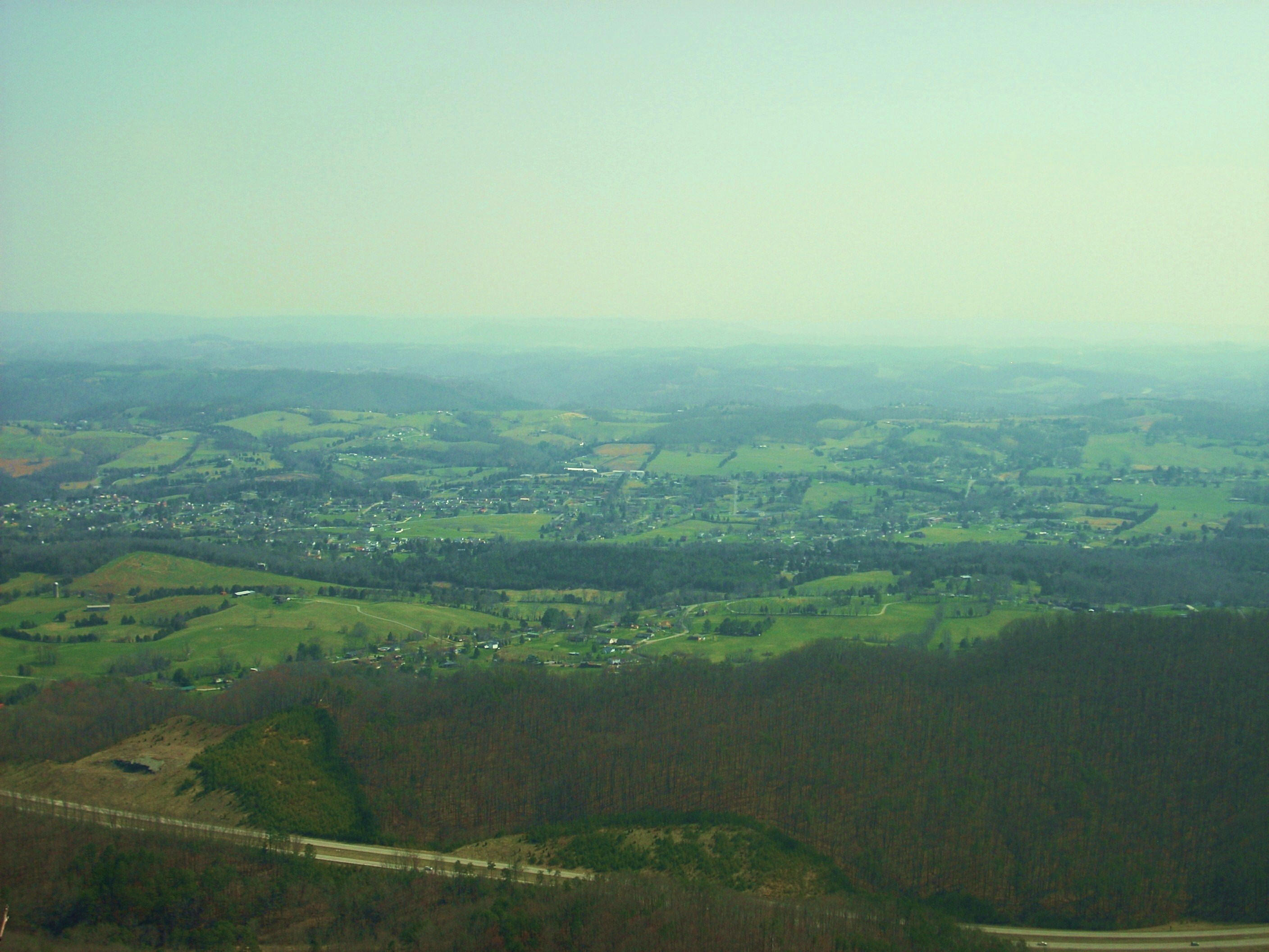
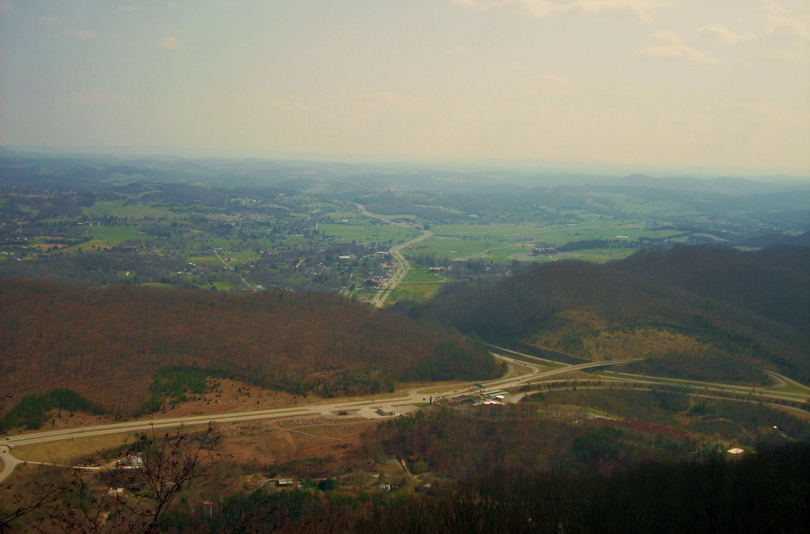
…while this was the best westward-looking...
When you’re done here you can retrace your steps to
head west onto the path to find a civil war cannon. The parking and picnic
area you see below you is actually where
DIRECTIONS:
I
took the US25E Exit off I75 (near
For this hike you’ll pass in front of the office