The Arboretum
State Botanical
Garden of Kentucky
An extraordinary display of the floral diversity of
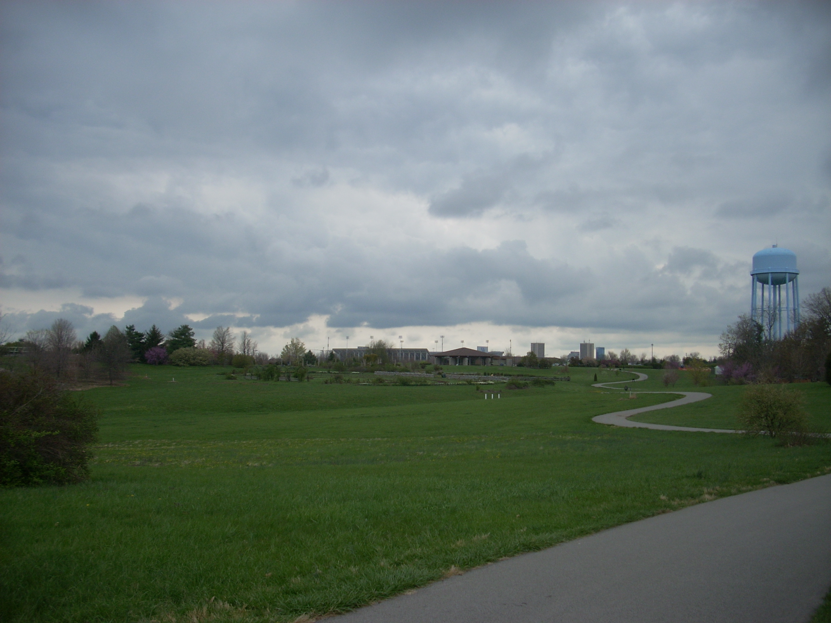
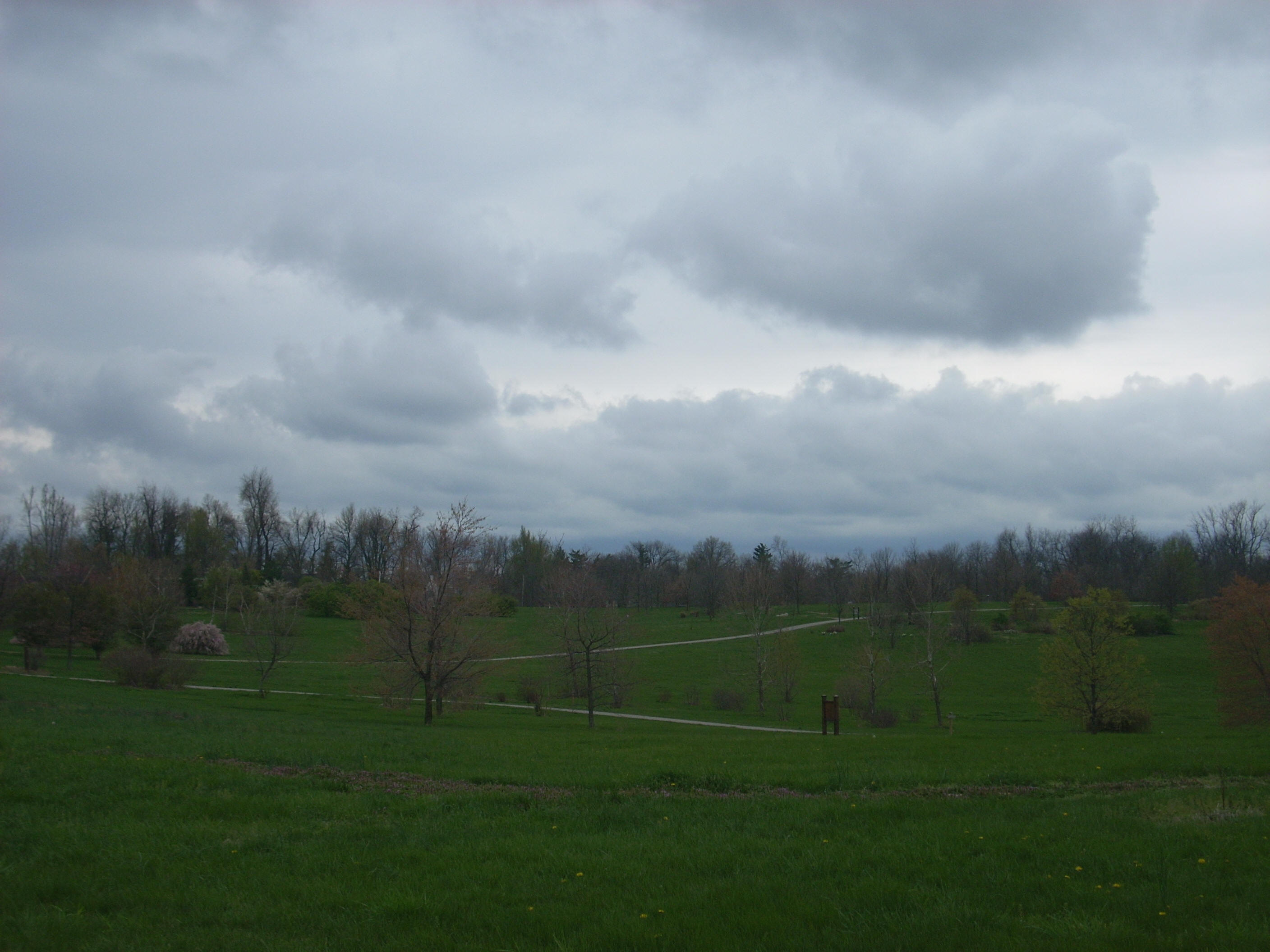
The main path here runs 2 miles as it winds around the perimeter of the park in the shape of -
Anyway, since this path is paved it’s perfect for skating as well as for walking and running (although biking is no longer permitted at the time of this writing for safety reasons). As you go around you’ll be introduced to different sections of the park which have been planted in such a way as to represent each of the 7 geographical regions of
There are other options too in
the form of little connector paths you can take. These lead you off the
pavement and on to more intimate tours of the different regions if you like.
There's also a wooded stretch which adds
about ½ mile on the west side. Then, in the center of all
this are the actual botanical gardens. These include separate
plots for: roses, fragrant plants, perennials, annuals,
herbs, vegetables, home fruit and nut plantings, and ground cover displays
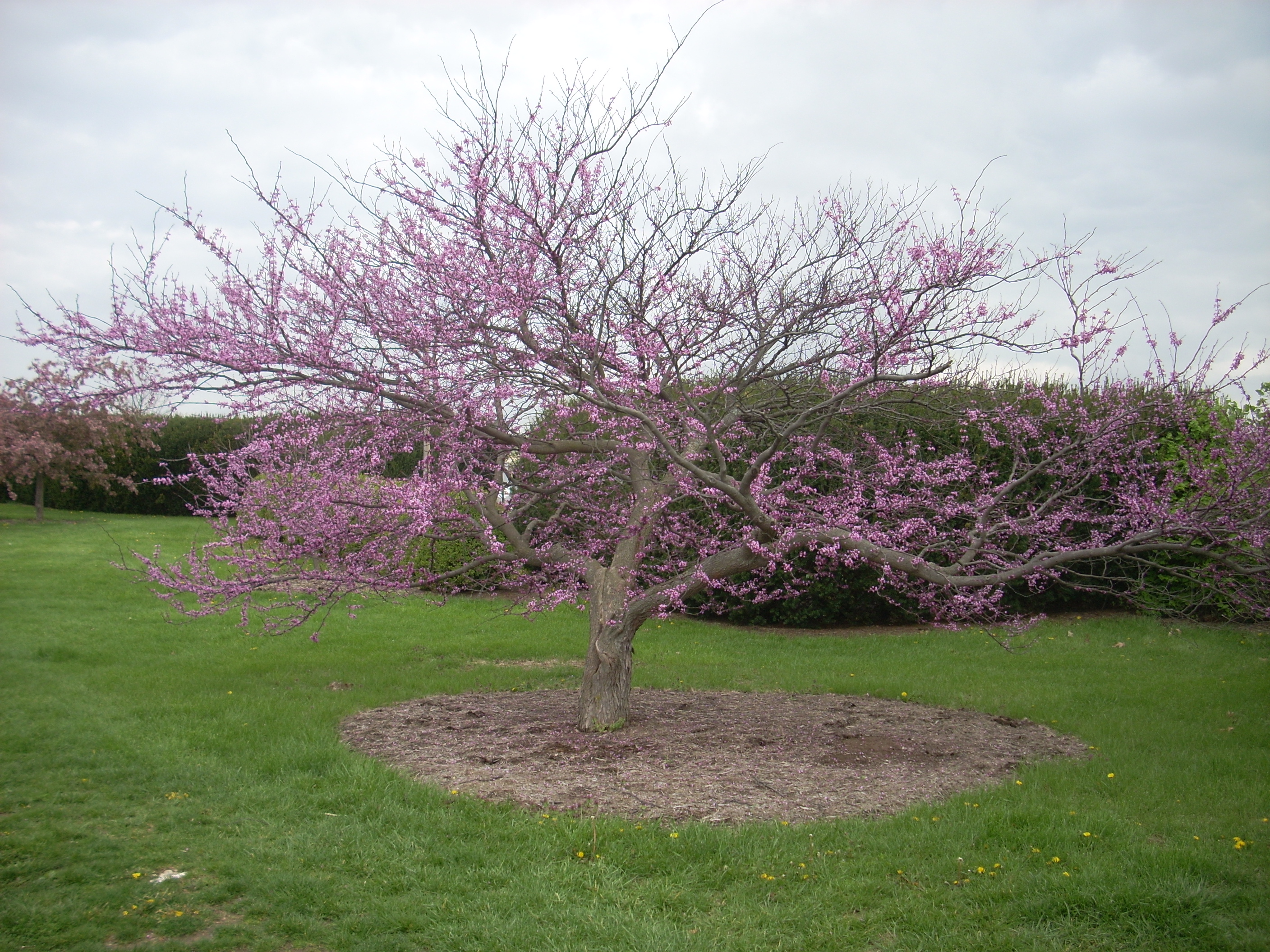
according to the website. There’s also a special children’s
garden that they’re working on.
Now I’m going to totally
oversimplify this in order to give an overview, but if you look at a map
(available from a kiosk on the south side of the parking lot and online
here), the main path appears to contain 4 “peninsulas”. The first (and the
one I started out on today) points east and generally contains the Knobs and the
Pennyrile regions. The second, which points south, contains
the Shawnee Hills and the Mississippian Embayment. A third
then juts west and contains the Bluegrass Region along with the wooded section I
mentioned and a fourth has the Cumberland Mountain
and Appalachian Plateau regions represented on the northwestern point.
As for me today I was setting
out in the midst of a somewhat gloomy week for weather, yet I always know
that there’s beauty to be found all around me if I choose to see it – and
especially out here. In fact, this arboretum is ideal for
those drab days just before spring when you’re feeling a bit stir-crazy from
being cooped up all winter, yet it’s still a bit too
soggy to go out on the forest trails (I feel bad messing them up when it's too
wet).
Now I usually don’t, but on
this excursion I fully utilize that
“greatest-invention-ever-known-to-mankind-which-will-not-reliably-turn-on-and-off”
- the Ipod! The music combined with the scenery really gets
me going, and I look forward to my trips out here. A favorite
time to come out is at dusk in the summertime. In fact, they
have Shakespearean plays staged out here for 3 weeks every summer at dusk.
Anyway, I started out today as I usually do. I drove into the park, and once at the corner of the actual parking area, I immediately proceeded to the far opposite corner (you can almost always find a spot back here). Then, walking north, I met the path very close to where it crosses the park road and began to follow it to the right. Here you’ll be walking alongside
Pilot Knob is actually one of
these “knobs”, so called because they rise above the landscape like
little hills. In fact, Pilot Knob is an incredible hiking
area all its own and if you really want to get a feel for the Knobs region in
general then I highly recommend checking it out. The picture
on my “Land” page was actually taken from the top. (There’s
some great information about the Knobs region
here.)
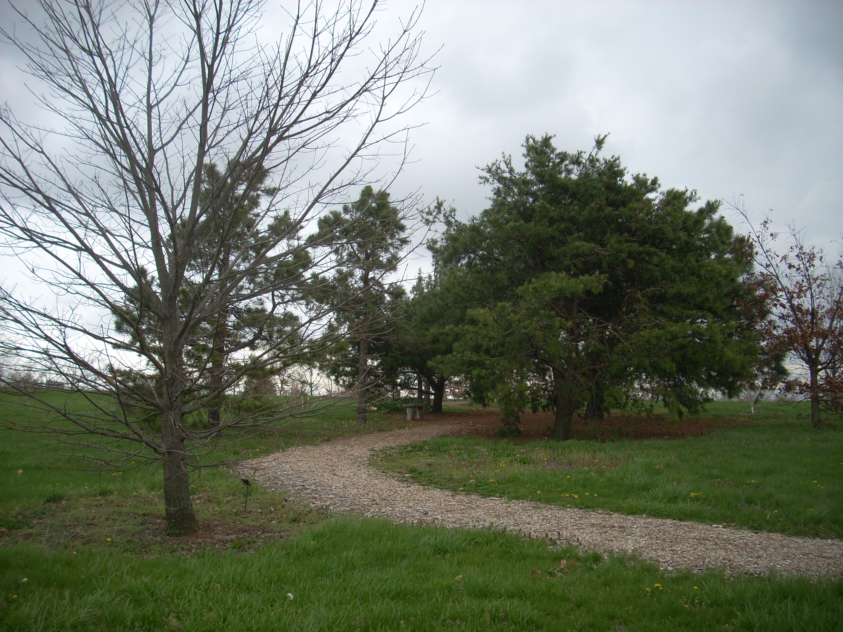
Back to the path… As you near the tip of the curve in this first eastern “peninsula” you’ll meet with your first descriptive marker and connector trail. You’re entering the Pennyrile Region (a.k.a. the Mississippian Plateau) which is represented for the remainder of the time you’re on this section of the path which extends on past the
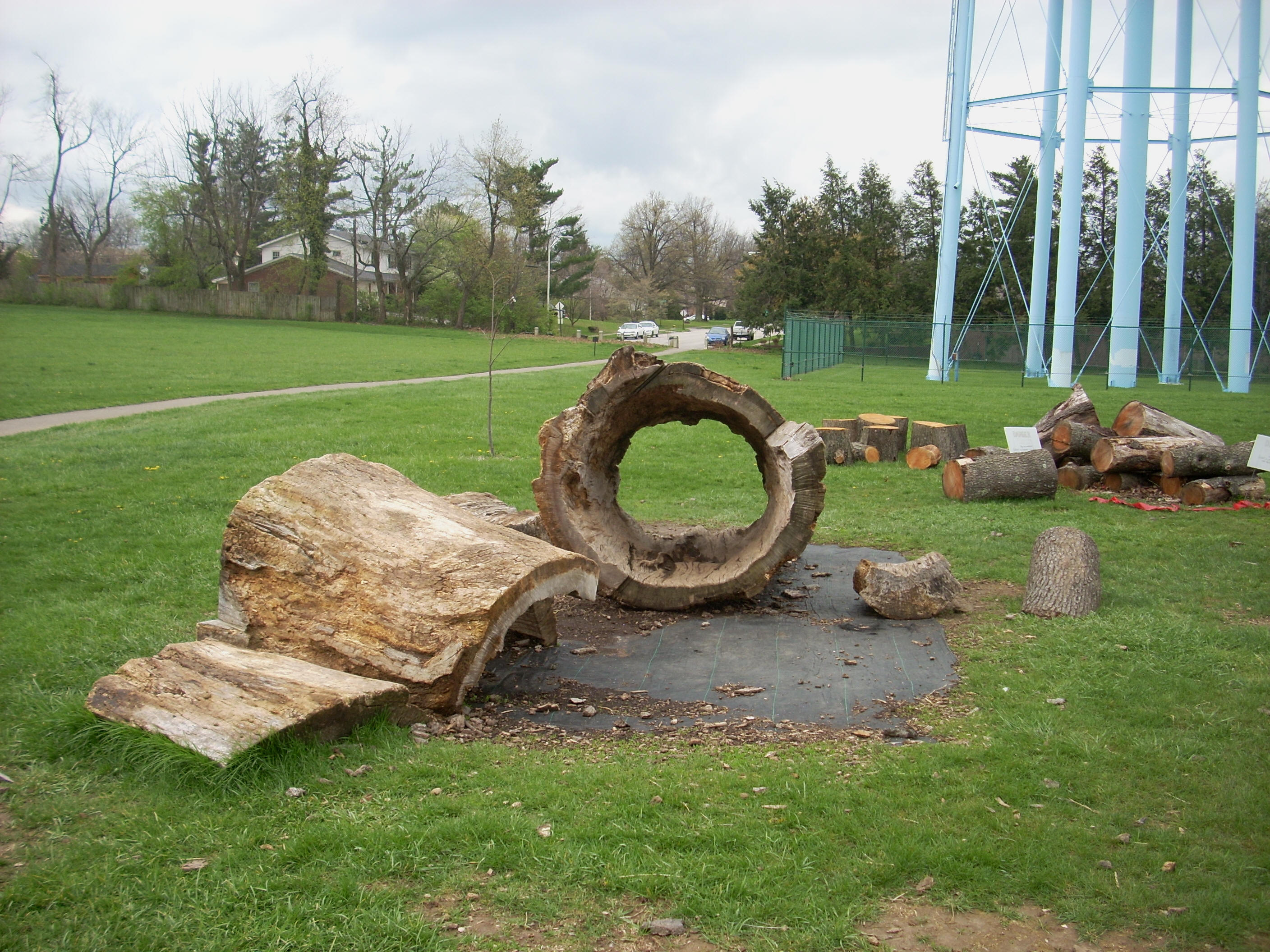
Up next on the right comes the children’s garden that they’re working on, and on the left under the water tower you’ll see some massive, hollowed out tree cuttings. The kids love it here!
Coming up
shortly on your right will be the gardens, complete with beautiful stone fences.
This area is so incredibly scenic and memorable that a couple of my
friends had their marriage ceremony here.
The next
section represented is Shawnee Hills (the area of the state which contains
When you reach
the tip of the peninsula which reprsents the
Mississippian Embayment Region you'll find a bridge to cross (most of the
embayment region is a floodplain so
they’ve morphed this area to include more wetlands over the last couple years).
It may seem odd that this region is given such a small section of the
park but it only represents a small section of the state - the
westernmost tip.
Once you cross the bridge you’ll briefly be back in the Shawnee Hills Region
before you begin a little ascent in the path and curve onto the western
peninsula. You’re now in the
Bluegrass Region.
A sign here explains that it was pressure from the earths’ crust that
produced this raised area around
Also here on this peninsula lies that wooded section I
mentioned. What they’ve done here is preserve this 16 acre
area in order that it might look exactly the way it might have done centuries
ago. In fact, the largest tree in the place is back here – a
Chinquapin Oak. I didn’t venture back into the area today due
to concern over the state of the trail after the rain, but I’ll definitely be
back. […and having
returned I do believe it is well worth the effort to see even though the oak I
mentioned was an ice storm casualty a few years back.]
Once you round the corner of this western peninsula you’ll spot a little field
of cane on the left as you now enter the Appalachian Plateau (the
Your last peninsula contains the
As you round the last curve in the main path, you’ll come to another cut-through trail called the Azalea Trail. This one has some flora with character! Plants with names like Hearts-a-Bursting-with-Love and Running Strawberry Bush dot the sides of it.
As you come back to where you started, you’ll re-enter the Knobs region, and this was where I ended my day today, although it’s sometimes so pleasant that I’ll walk around more than once. If you come out here you certainly will not regret it - no matter what the weather is like outside!
DIRECTIONS:
To be honest,
it’s pretty easy to find. It’s just south of downtown